The Journey to Nevada

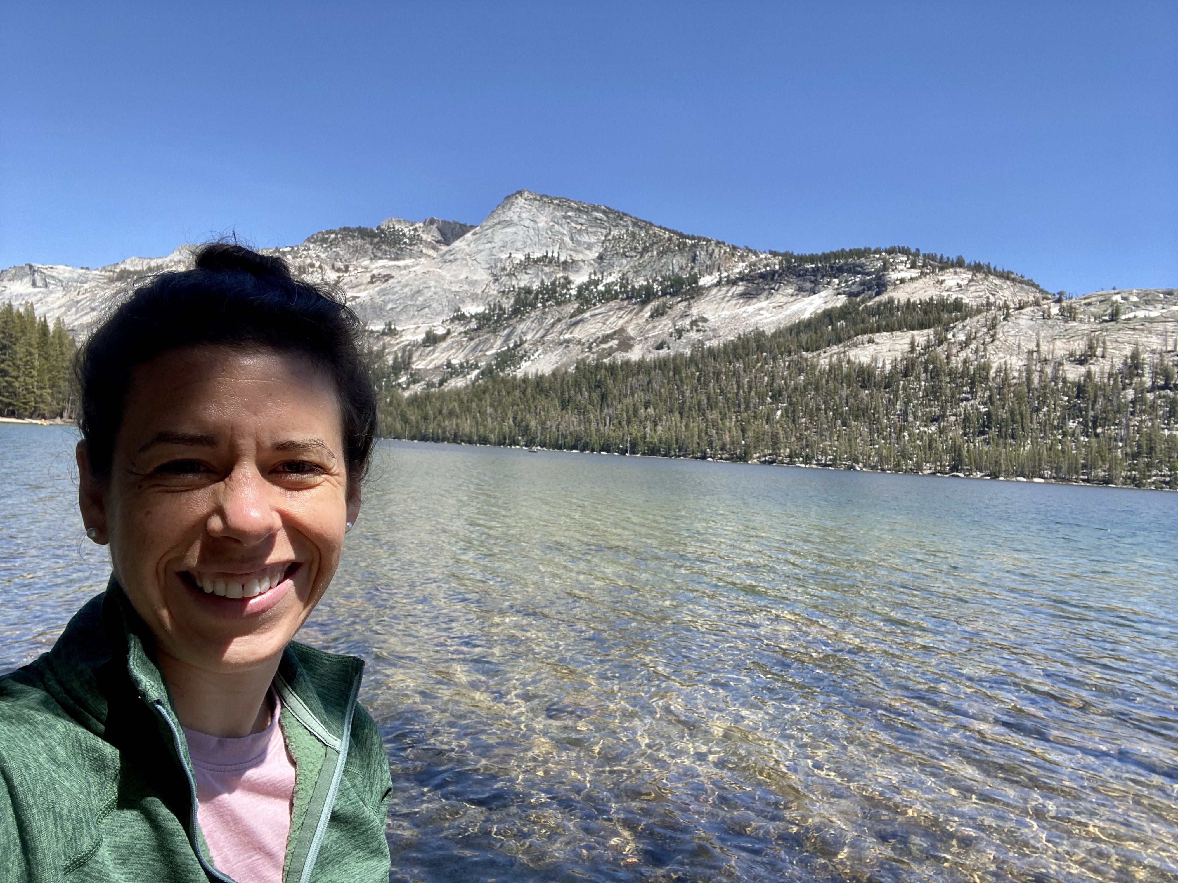
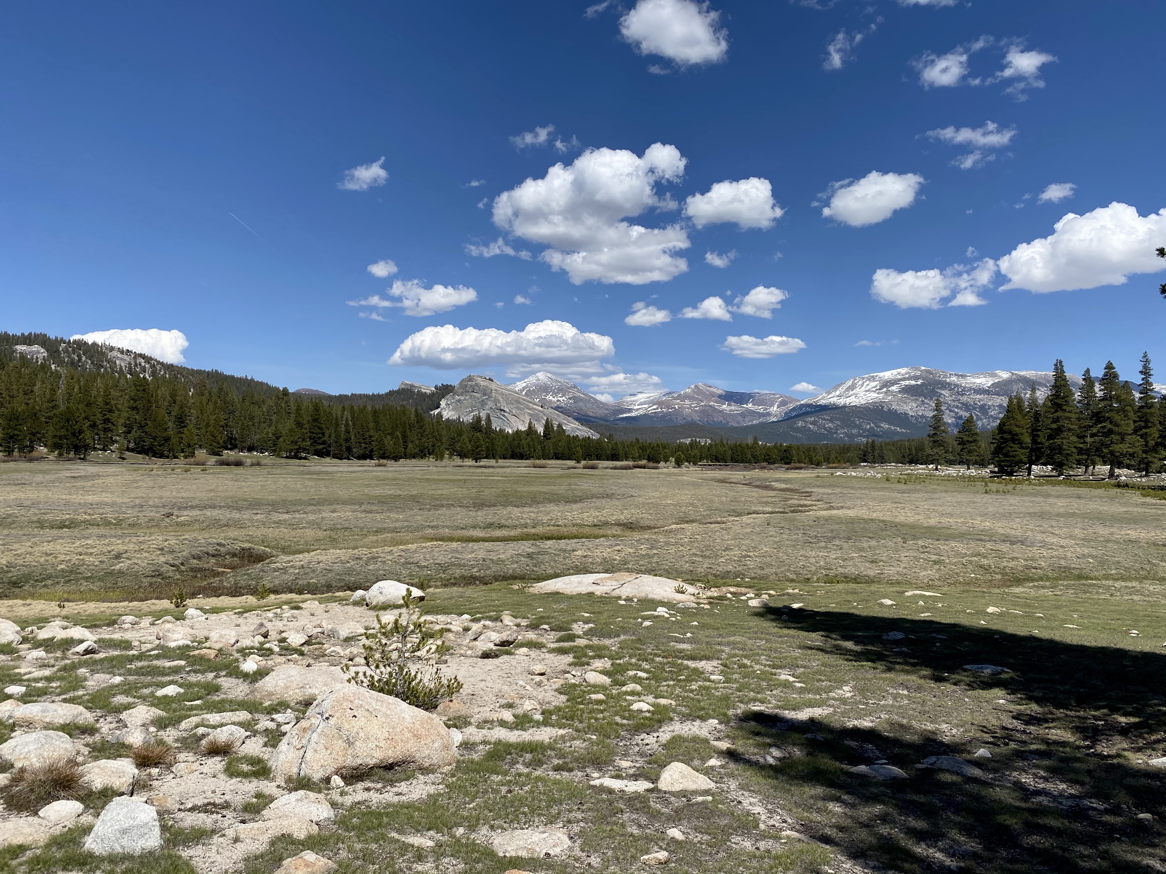
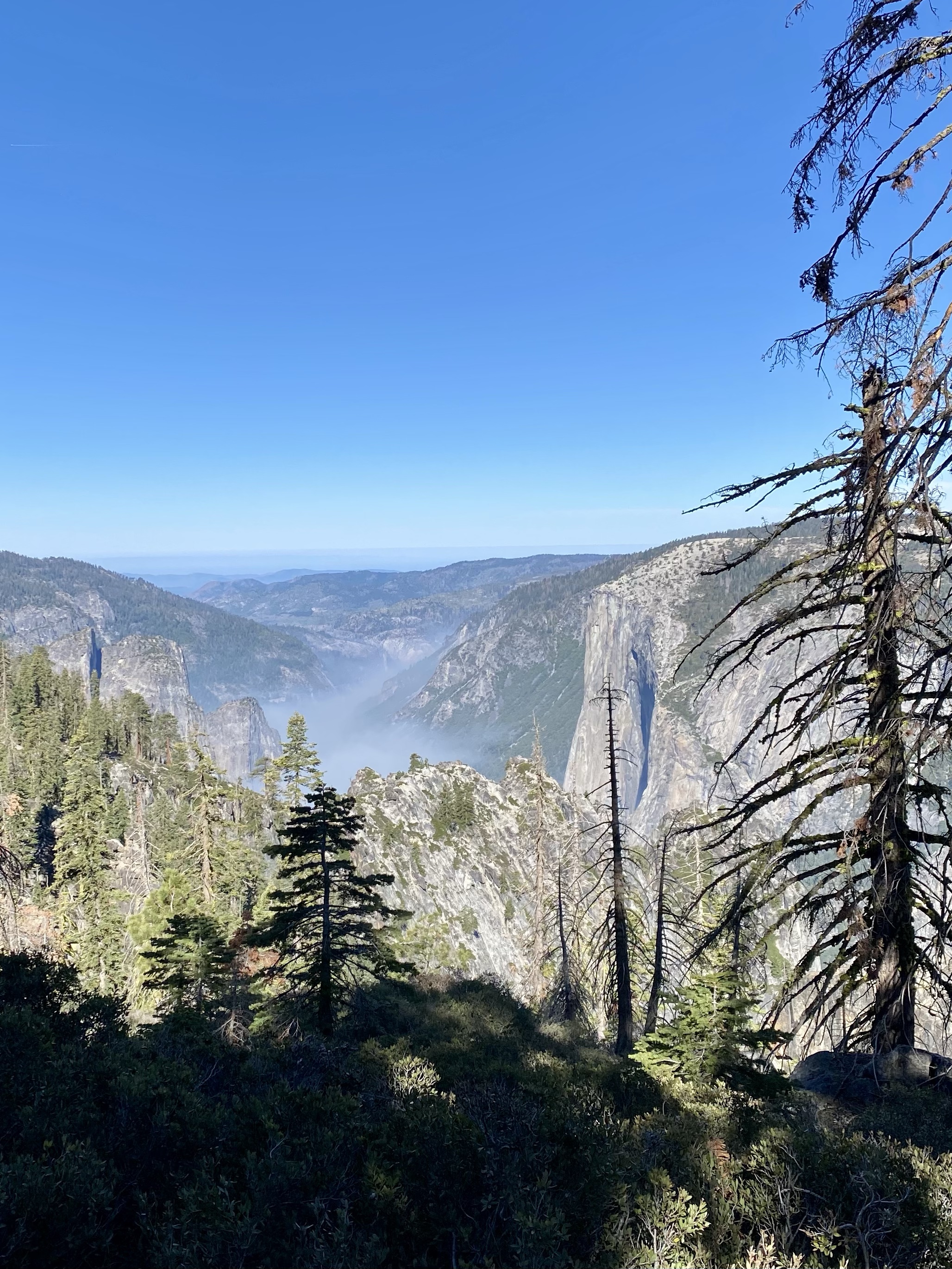
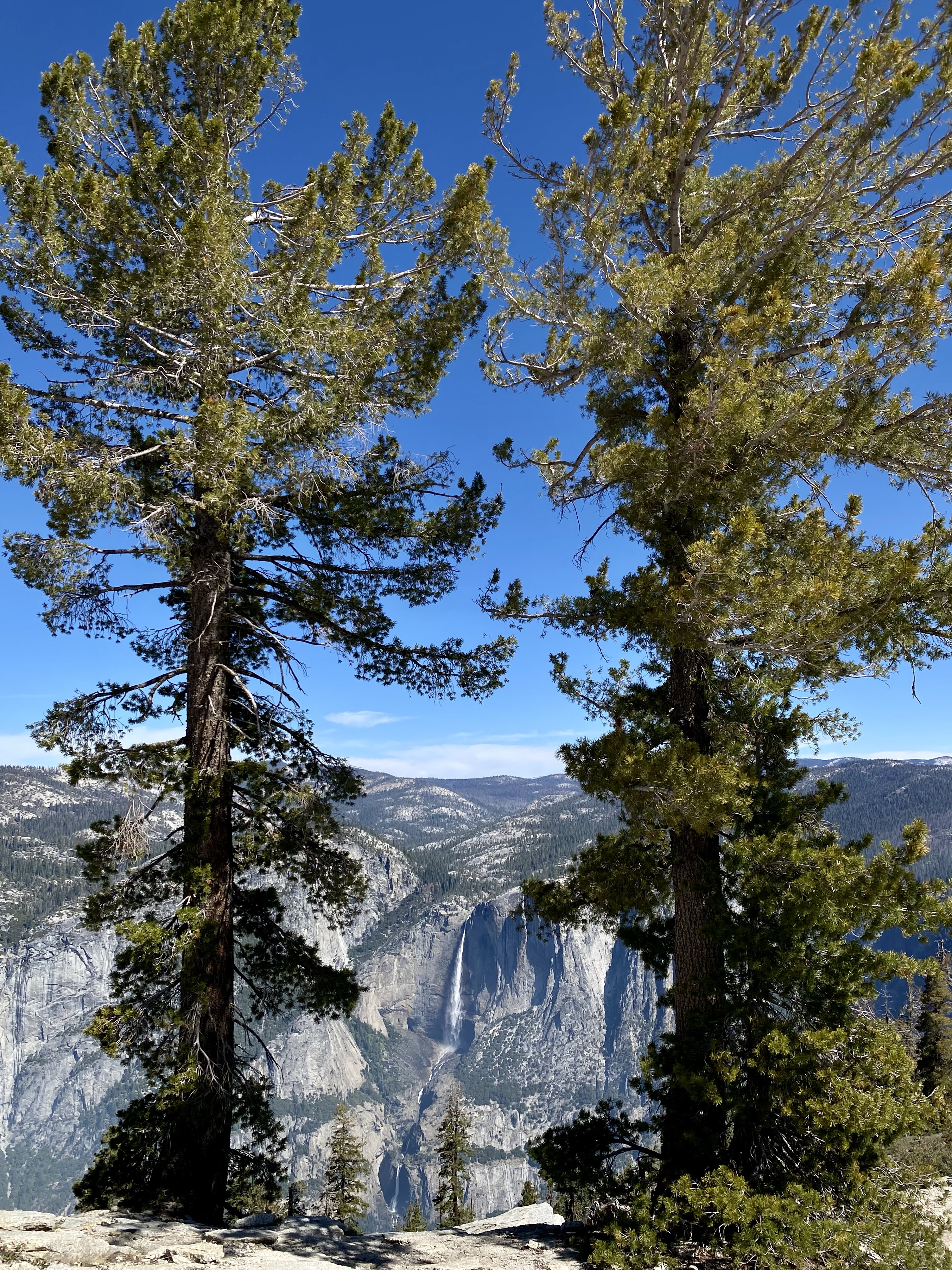
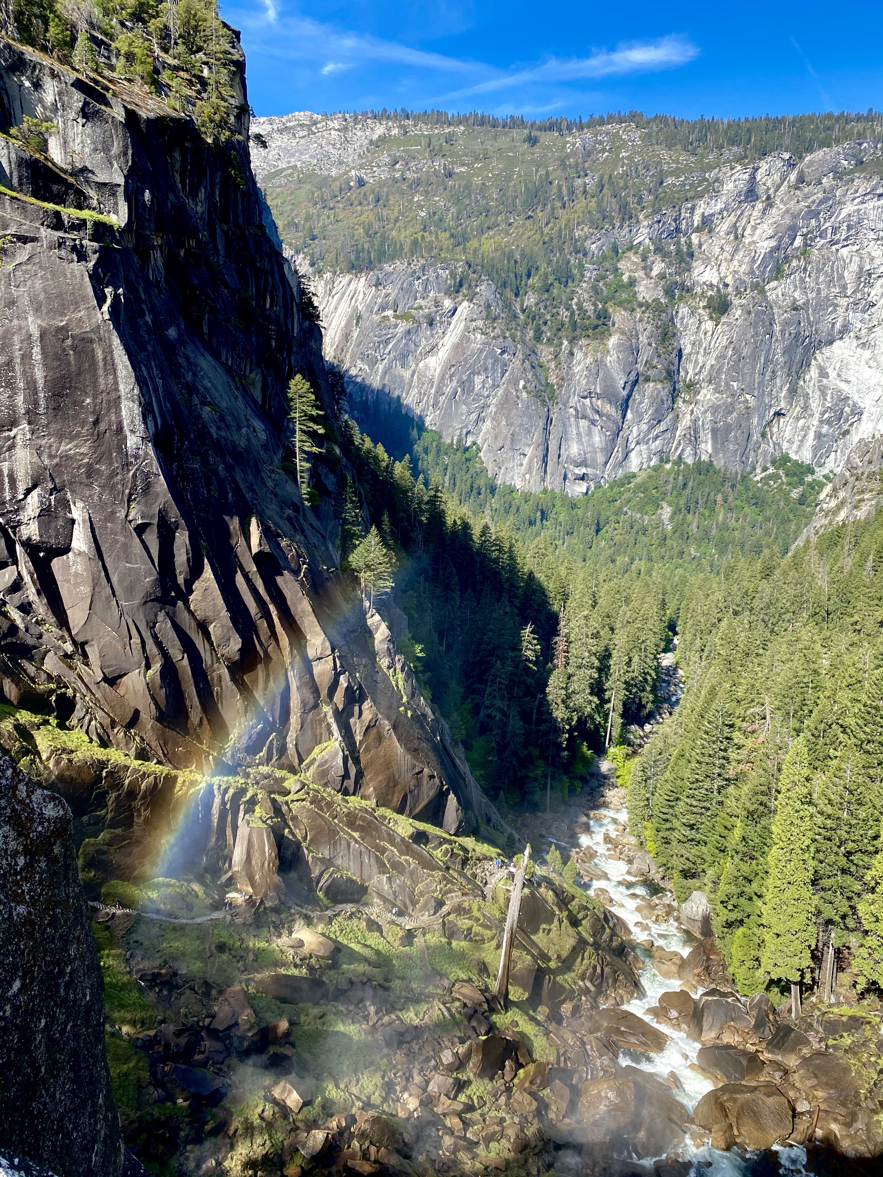
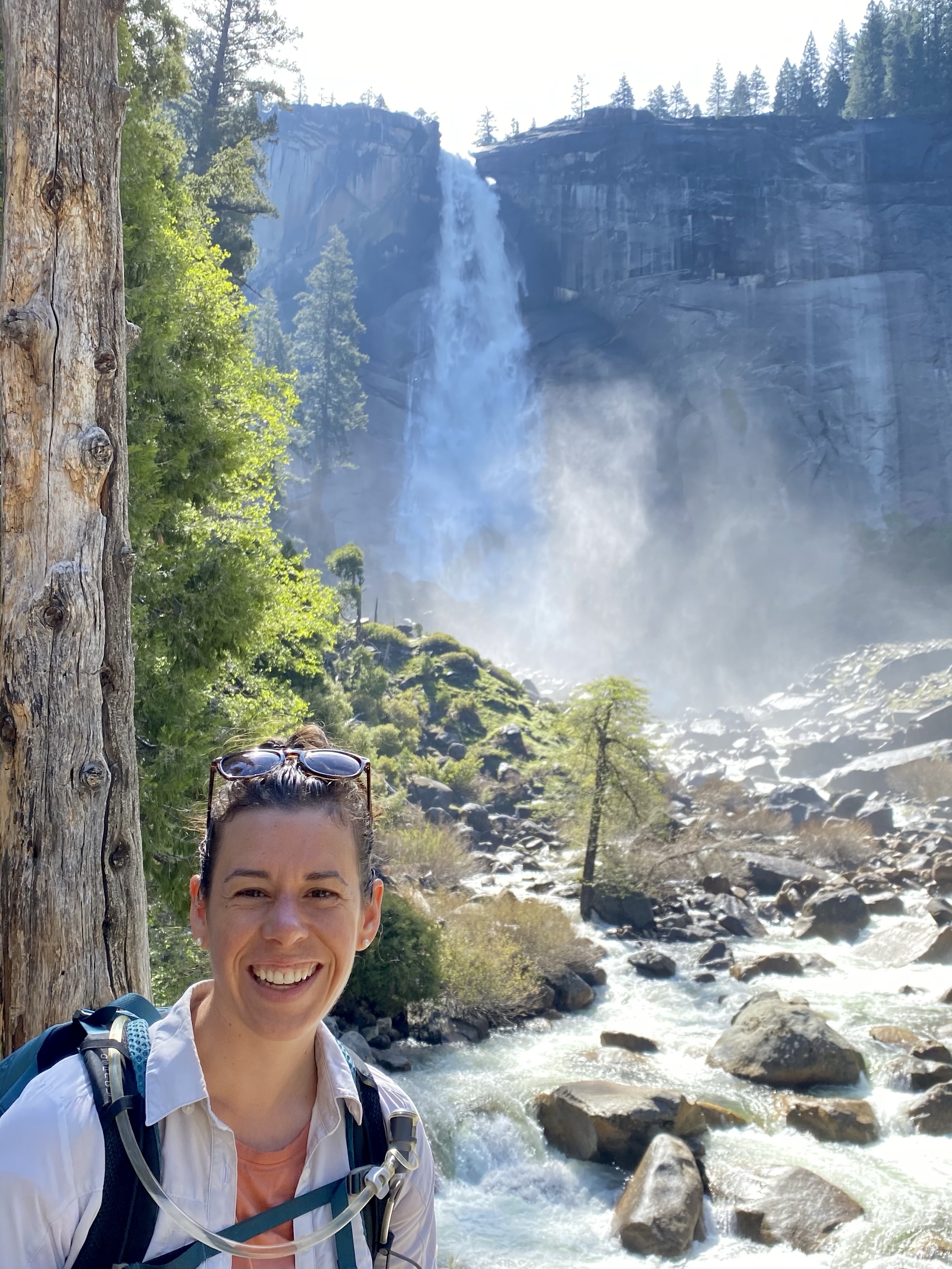
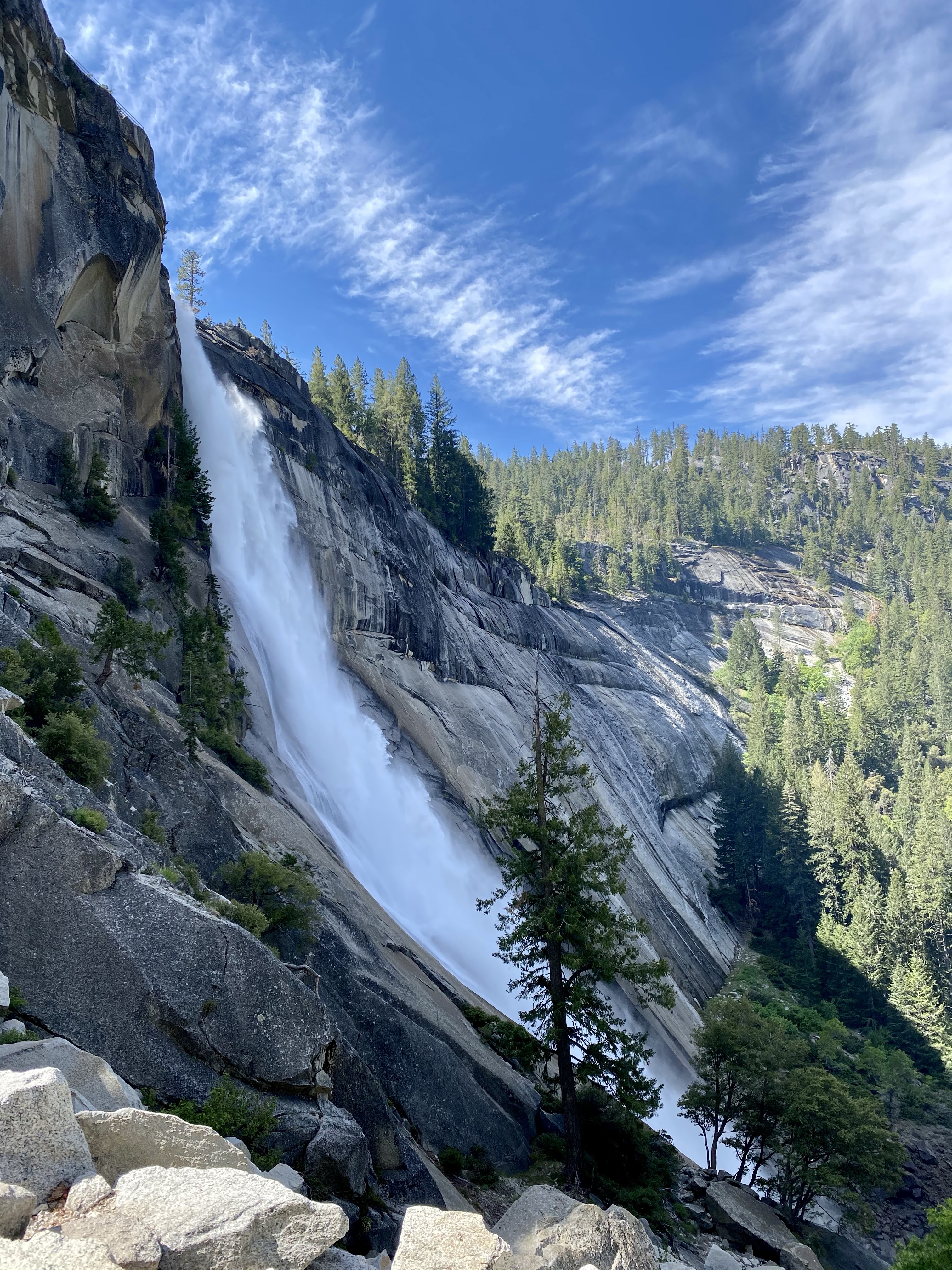
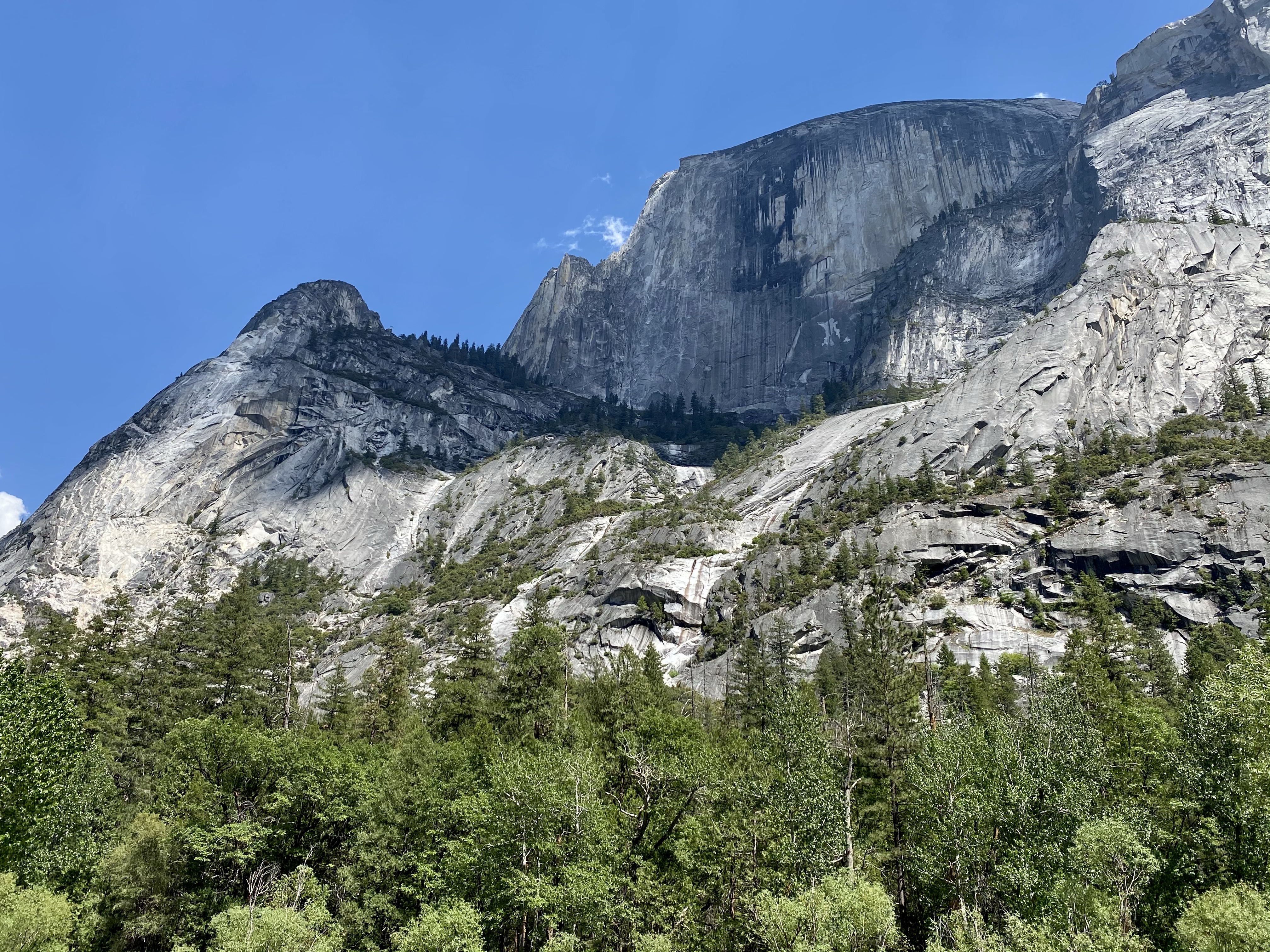
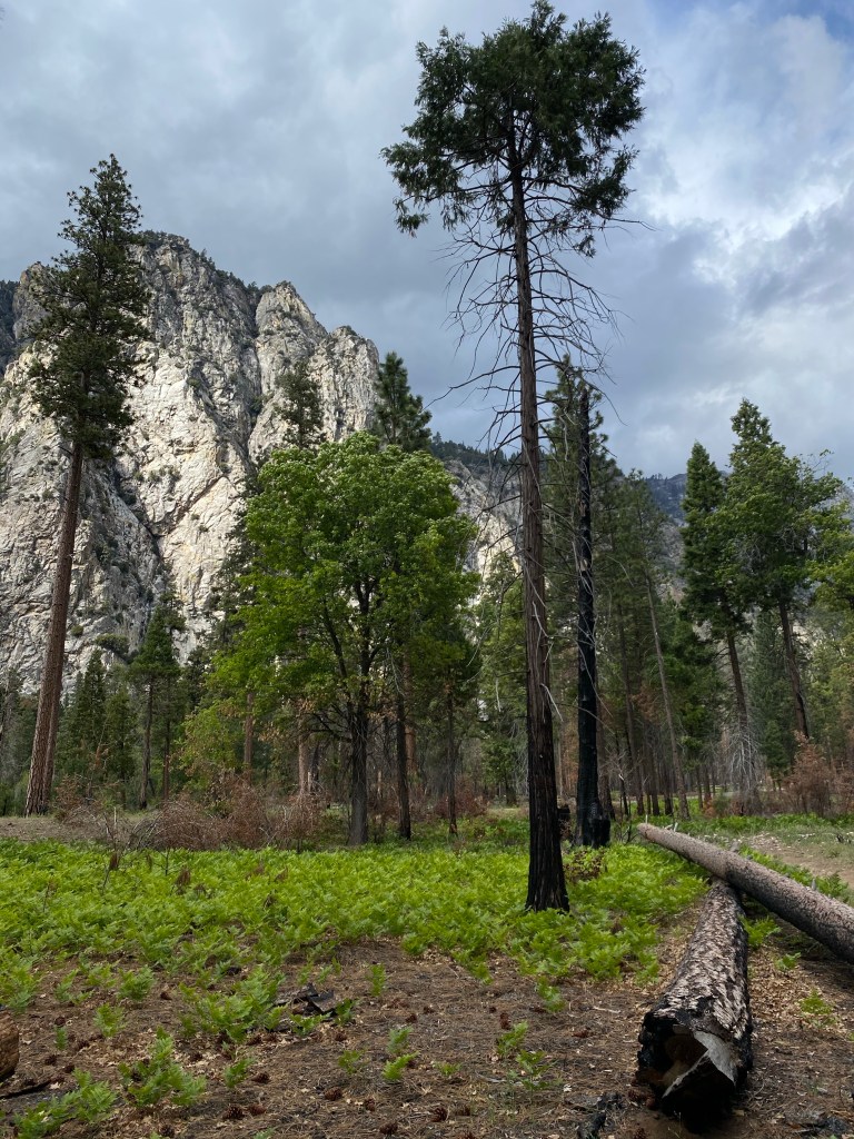
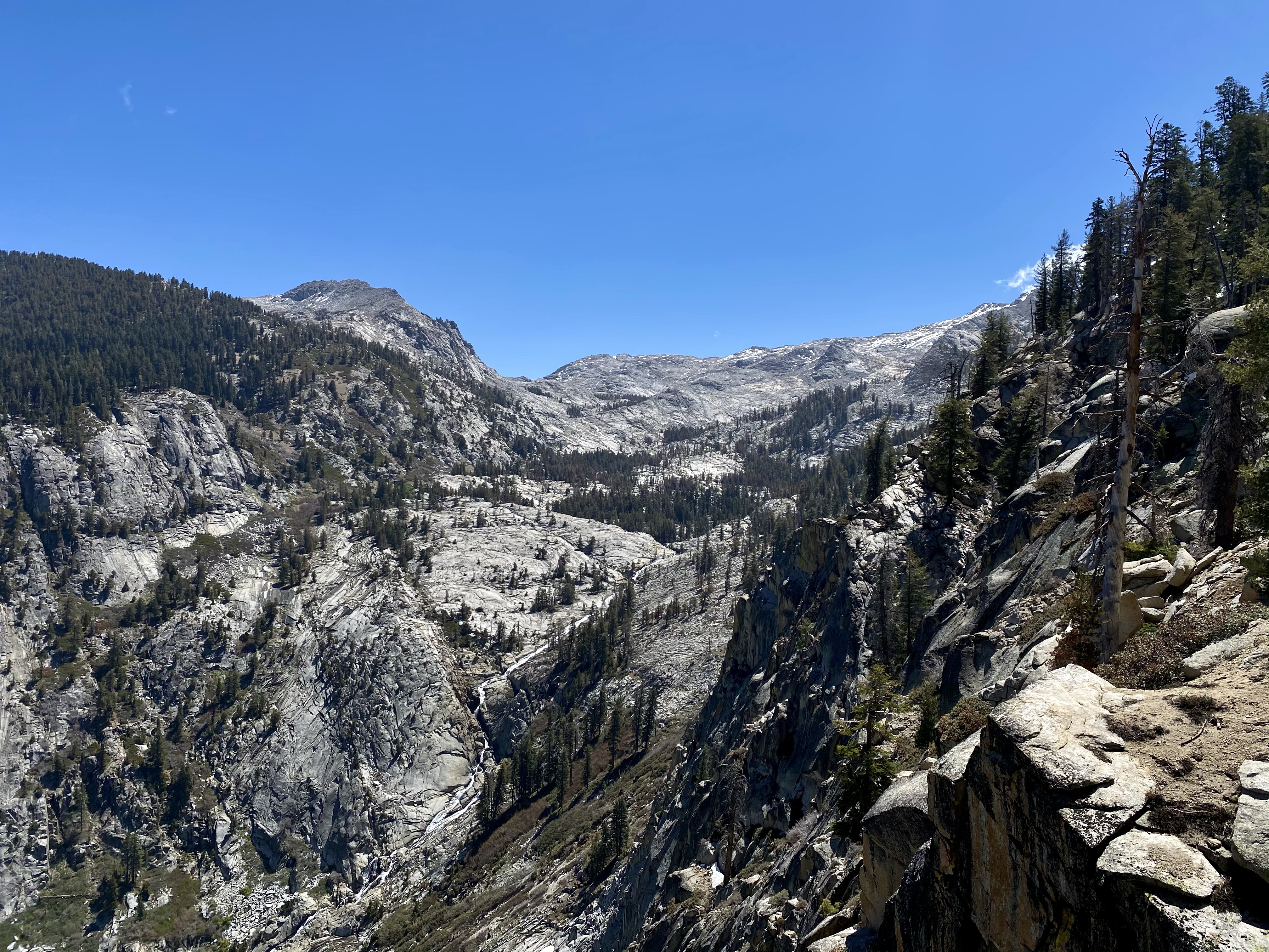
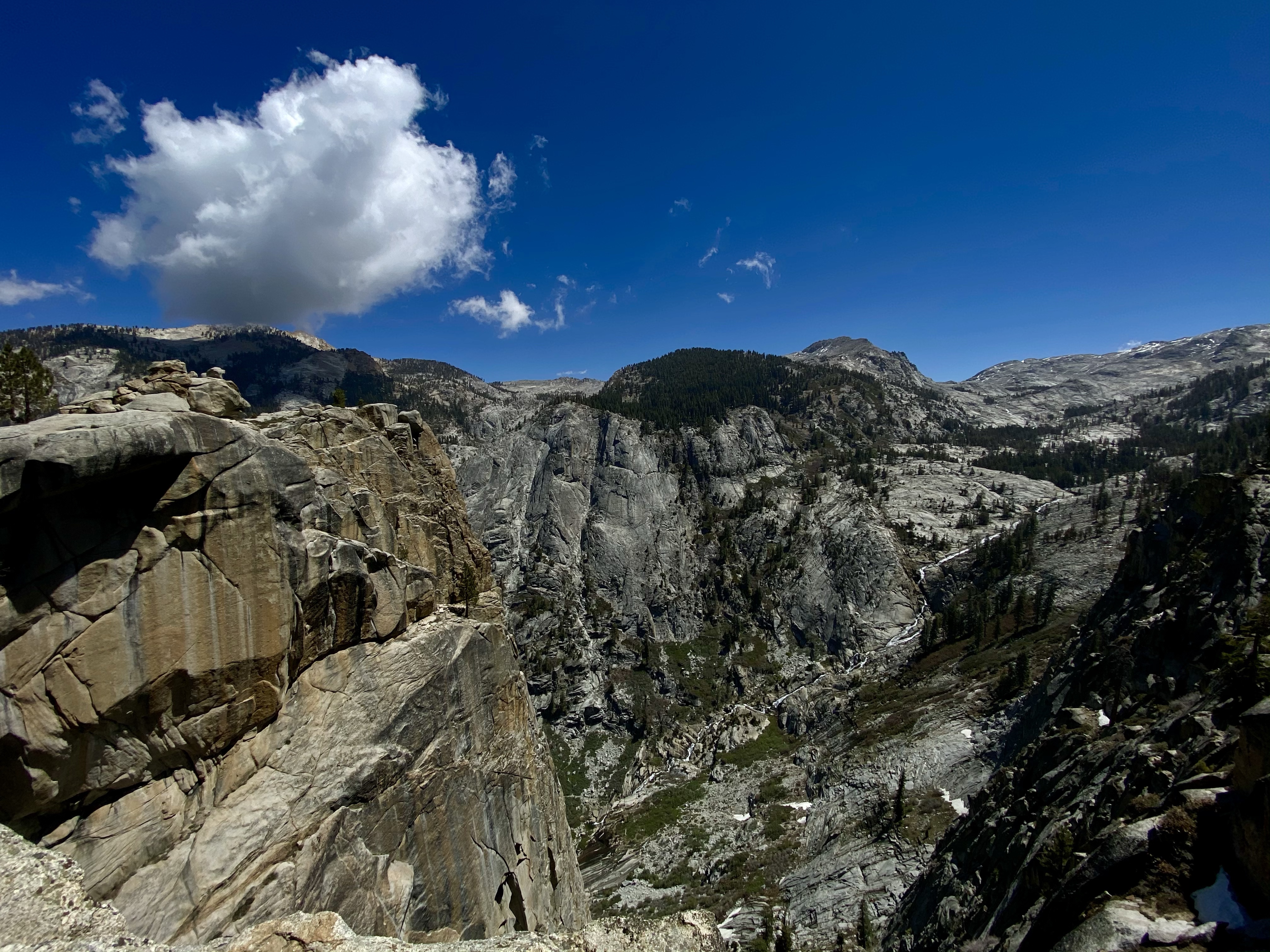
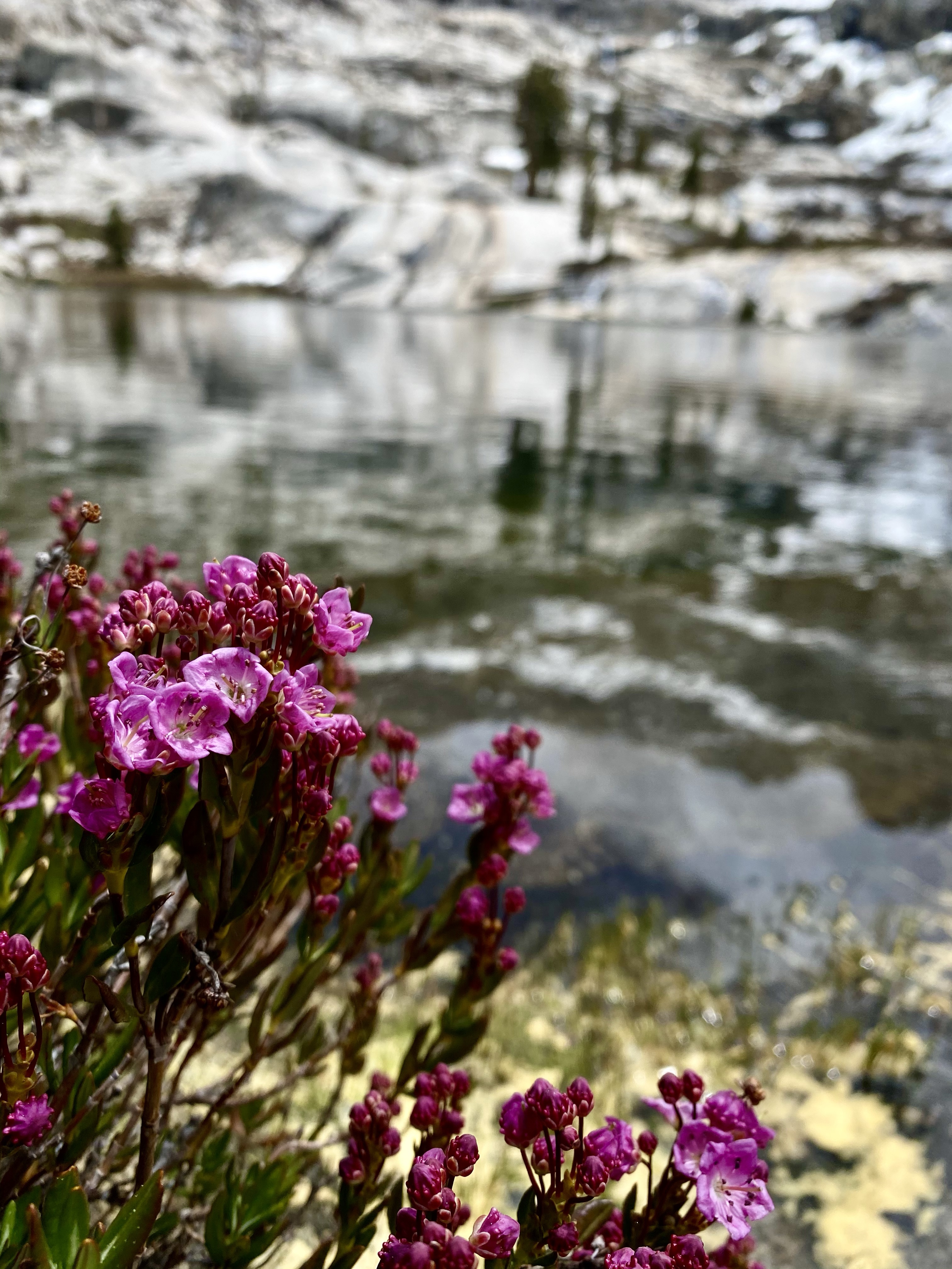
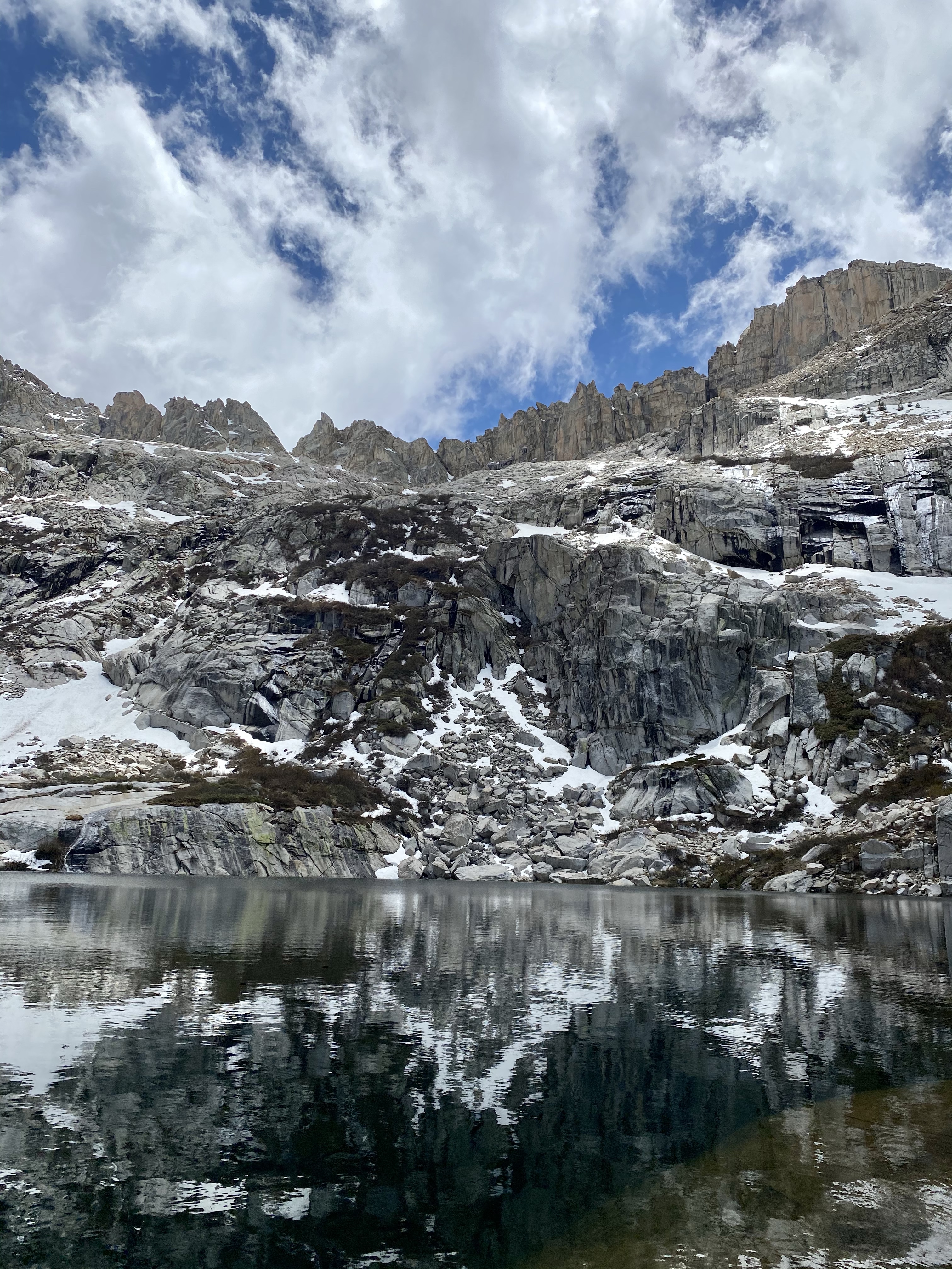
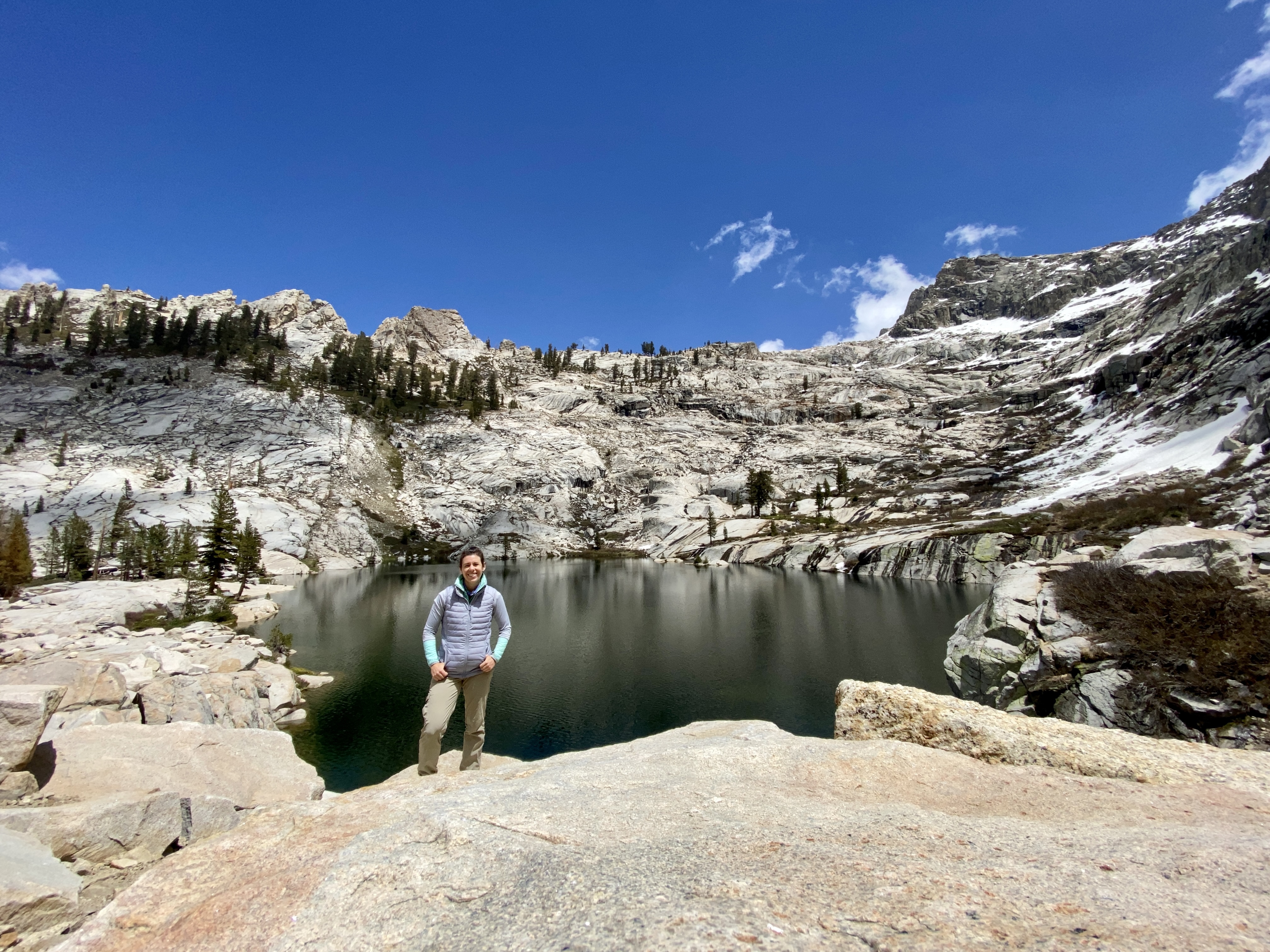
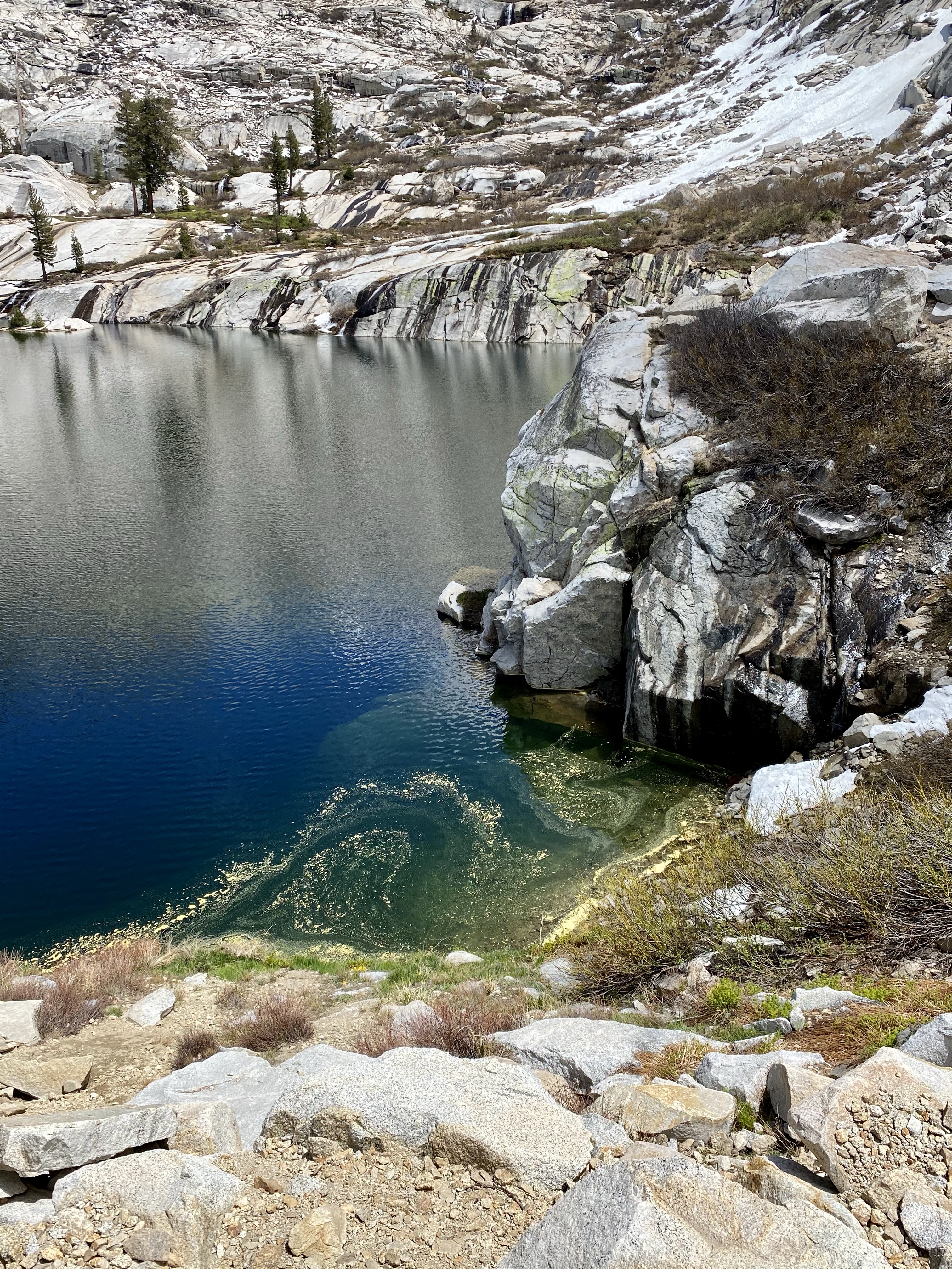
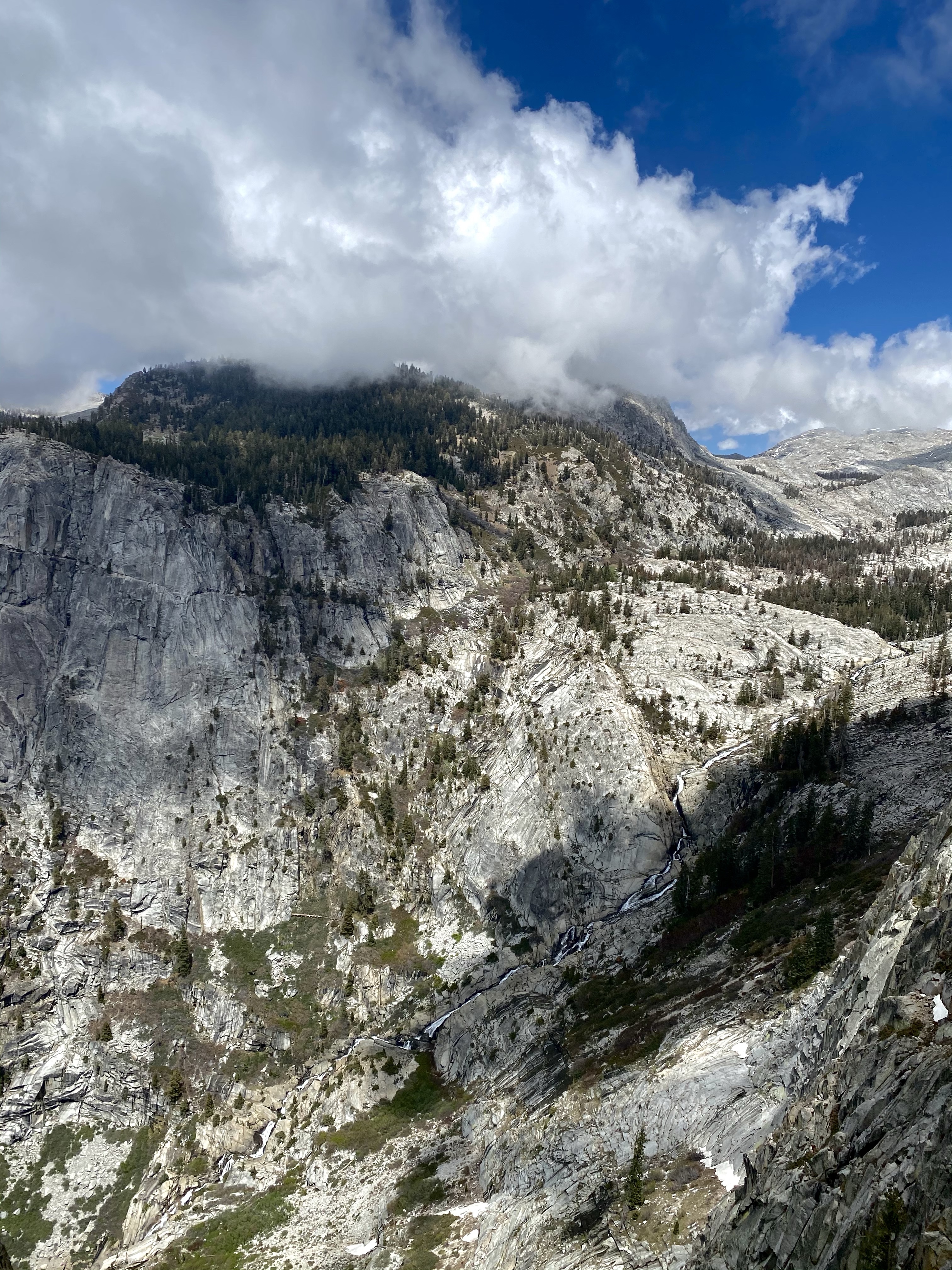
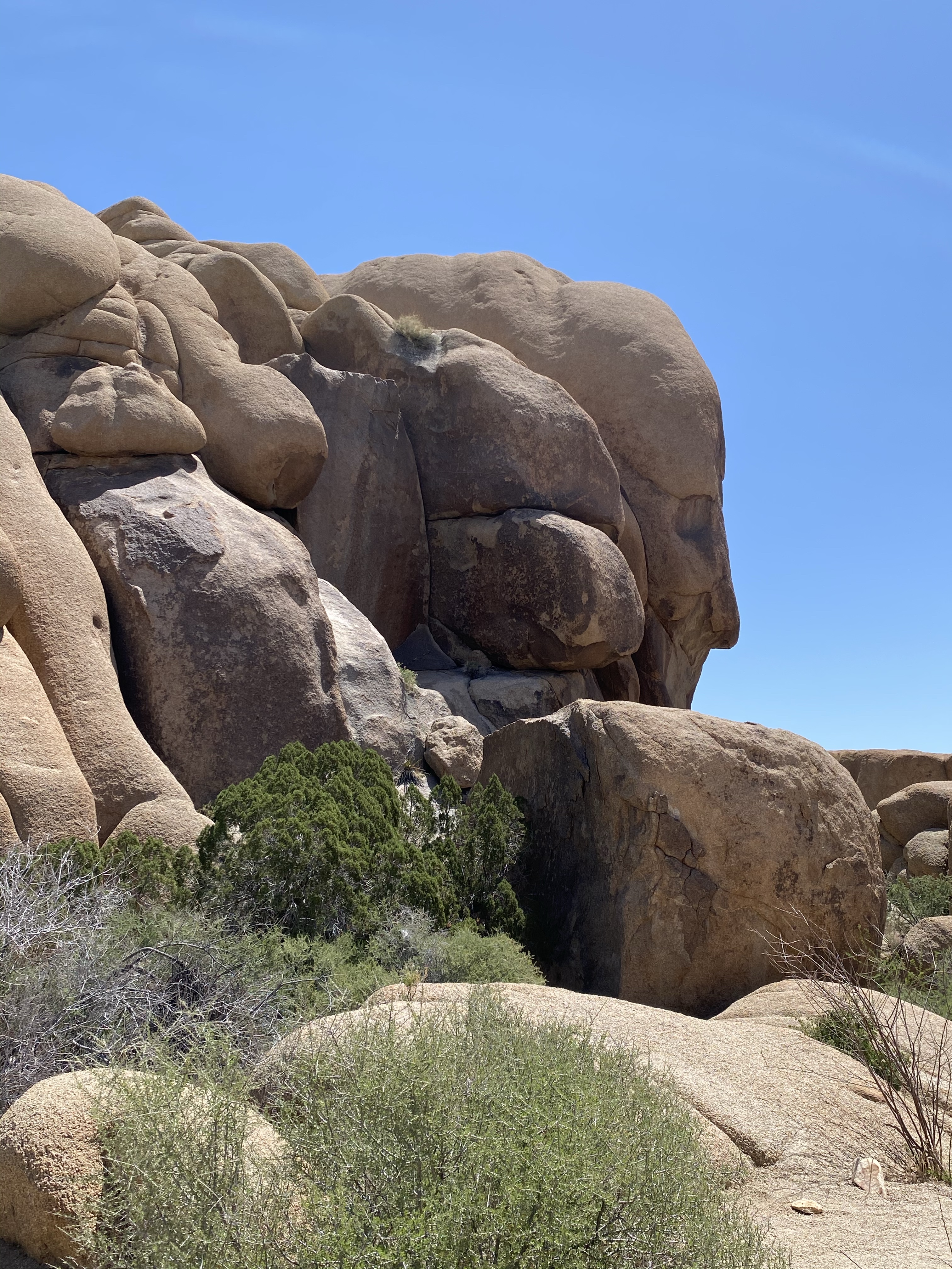
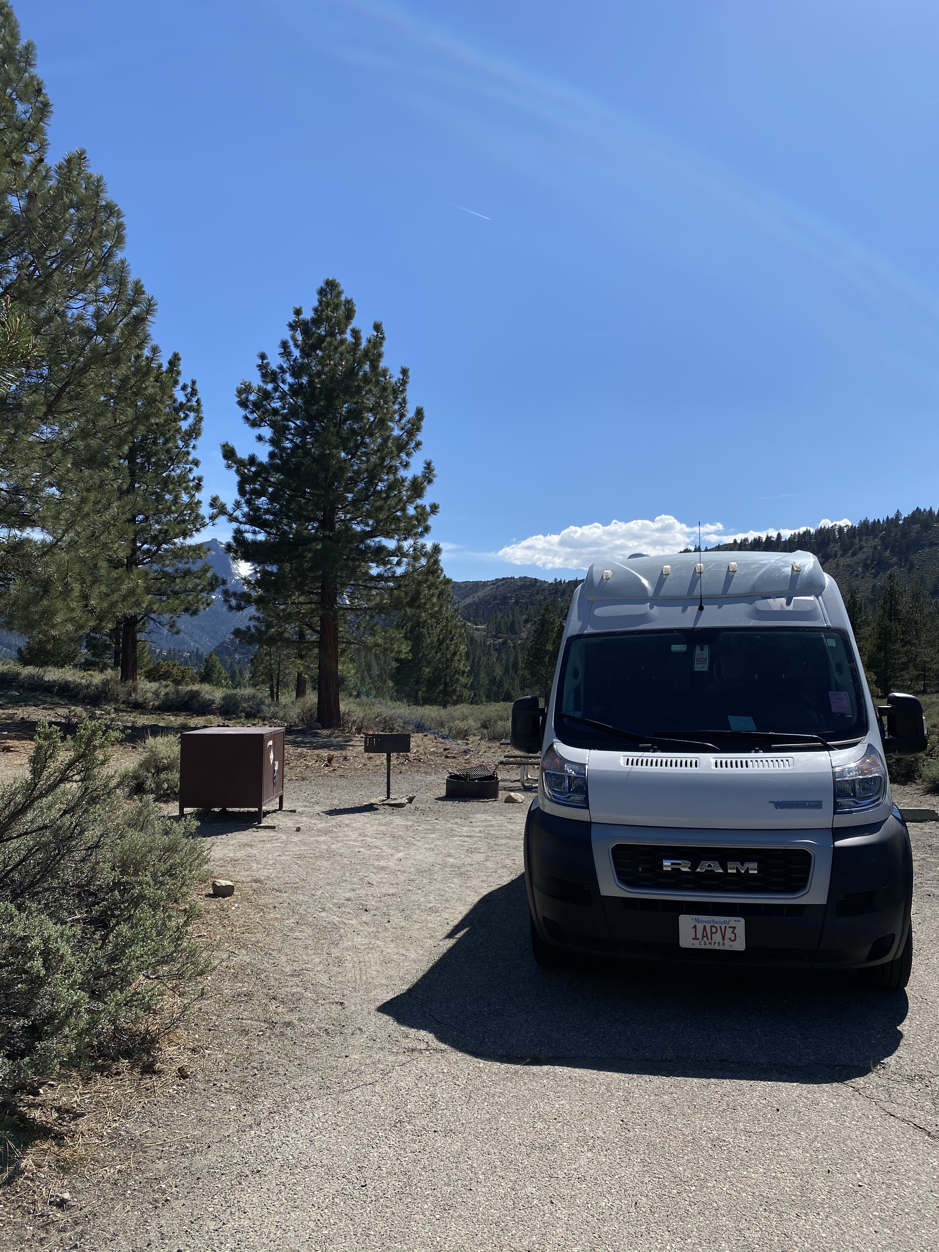
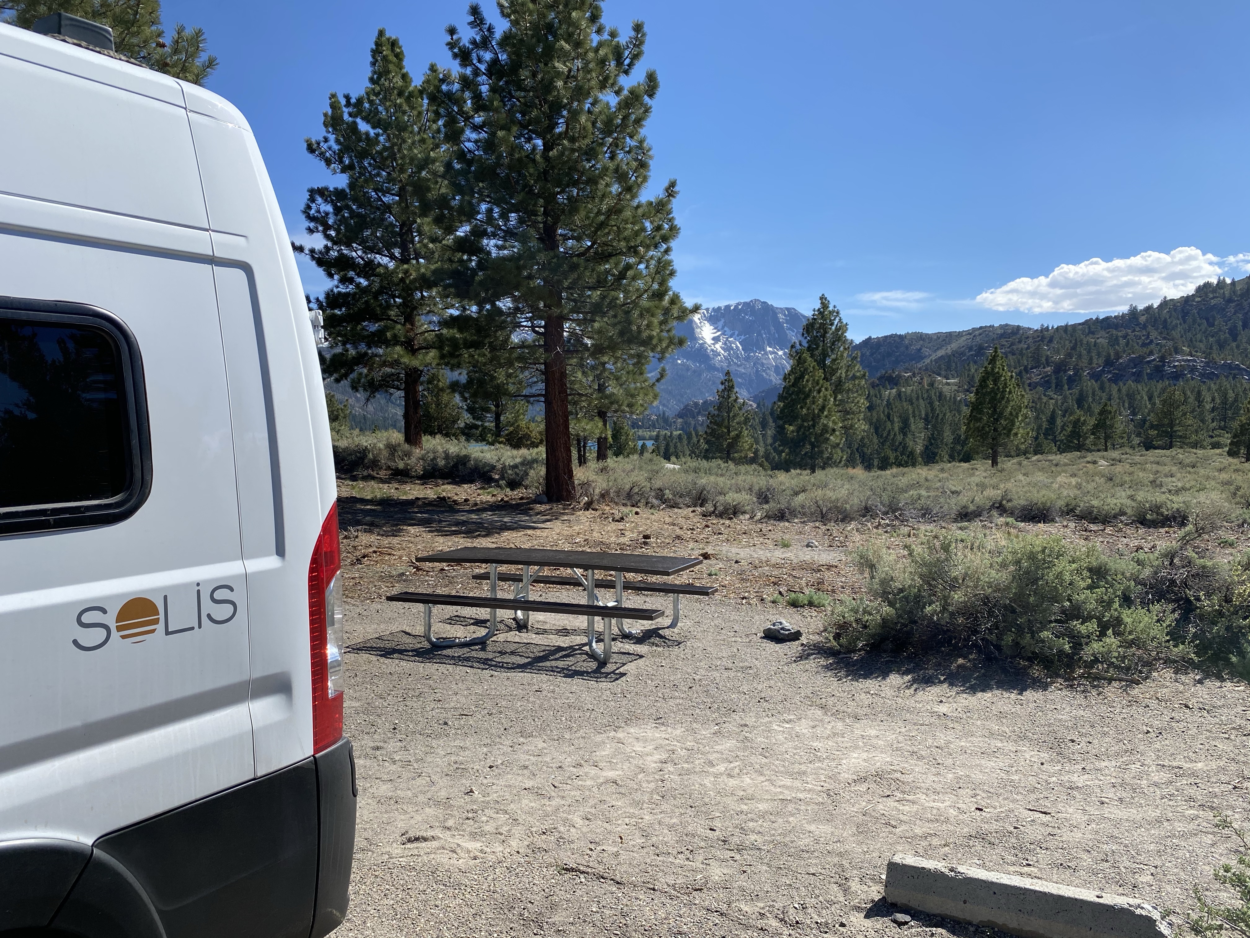
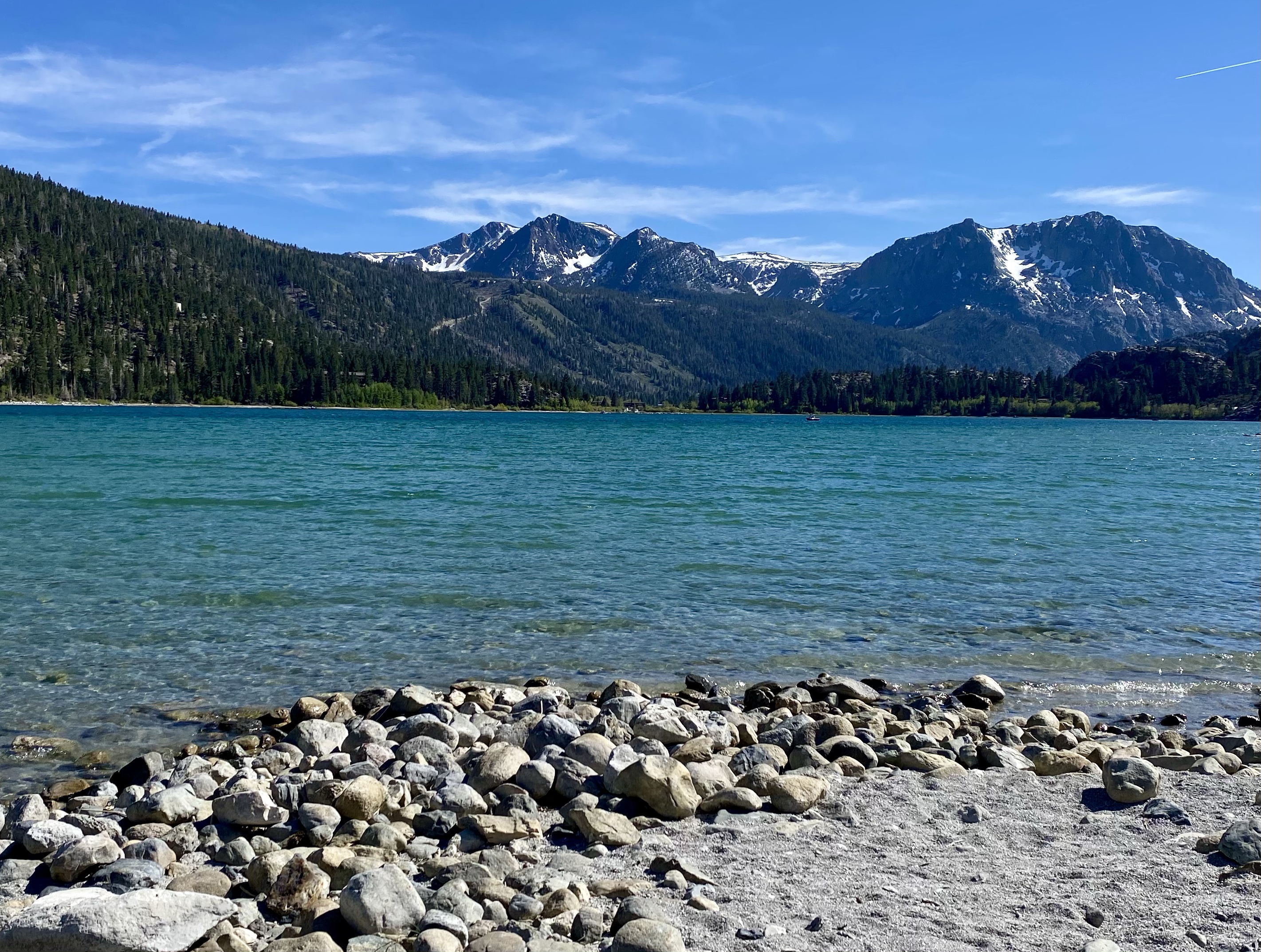
Outside of Yosemite, I settled for the night at June Lake. A national forest campground set on the hill above the water, it was a beautiful spot. From my campsite I could see the edge of the green blue water in the background, nestled up against the snow spotted slate mountains. Ahhh.

After dinner and some writing, I headed down to the water to enjoy the golden hour. The lakeside was quiet as families returned to their homes or campsite for the evening, providing me with a peaceful view. I settled on a rock and soaked it all in. The landscape of this country continues to surprise and amaze me. To much to see, so much to appreciate. I understand why the Northern Paiute and Western Mono tribes called this land home.

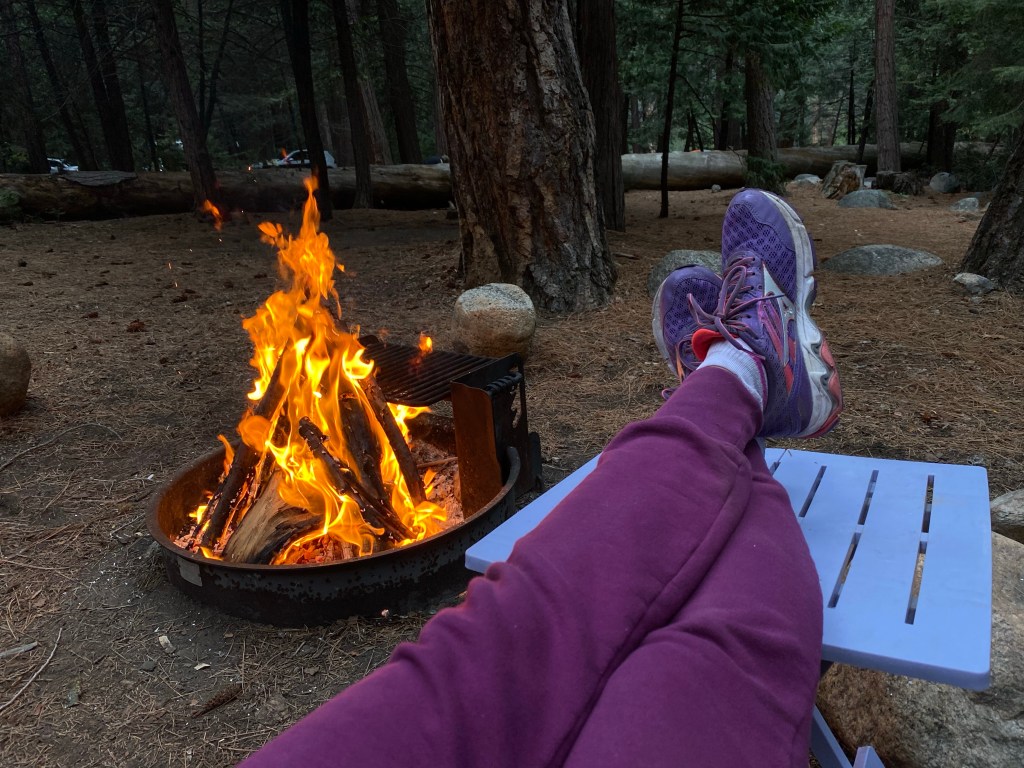
As the sun sank behind the mountains, the temperature dropped fast. I hustled back to my campsite and wrapped up in a blanket on my chair, trying to stay out as long as possible to enjoy the view. Eventually the cold got to me though, and I took shelter inside. I really wanted to spend more time at this beautiful spot, but alas is was Memorial Day Weekend and I doubted their would be any availability. Oh well! I curled up for the night with my book and journal, and eventually turned off the lights.

The next morning I awoke with plans to leave, and went about my morning routine and cleaning up camp. But, I’m learning to ask questions, to seek help and the camp host happened to walk by as I was almost done. So, I practiced what I’m learning and inquired if there were possibly any cancellations, any open spots. And guess what, he called the front desk and there was – just one! I’ll take it I responded enthusiastically and hustled over to put for the night. Yes!

So I didn’t have to leave this stunning spot. In fact, I didn’t have anywhere I needed to go (other than my new campsite a few loops over), and had a whole free day ahead of me! Just what my body requested.

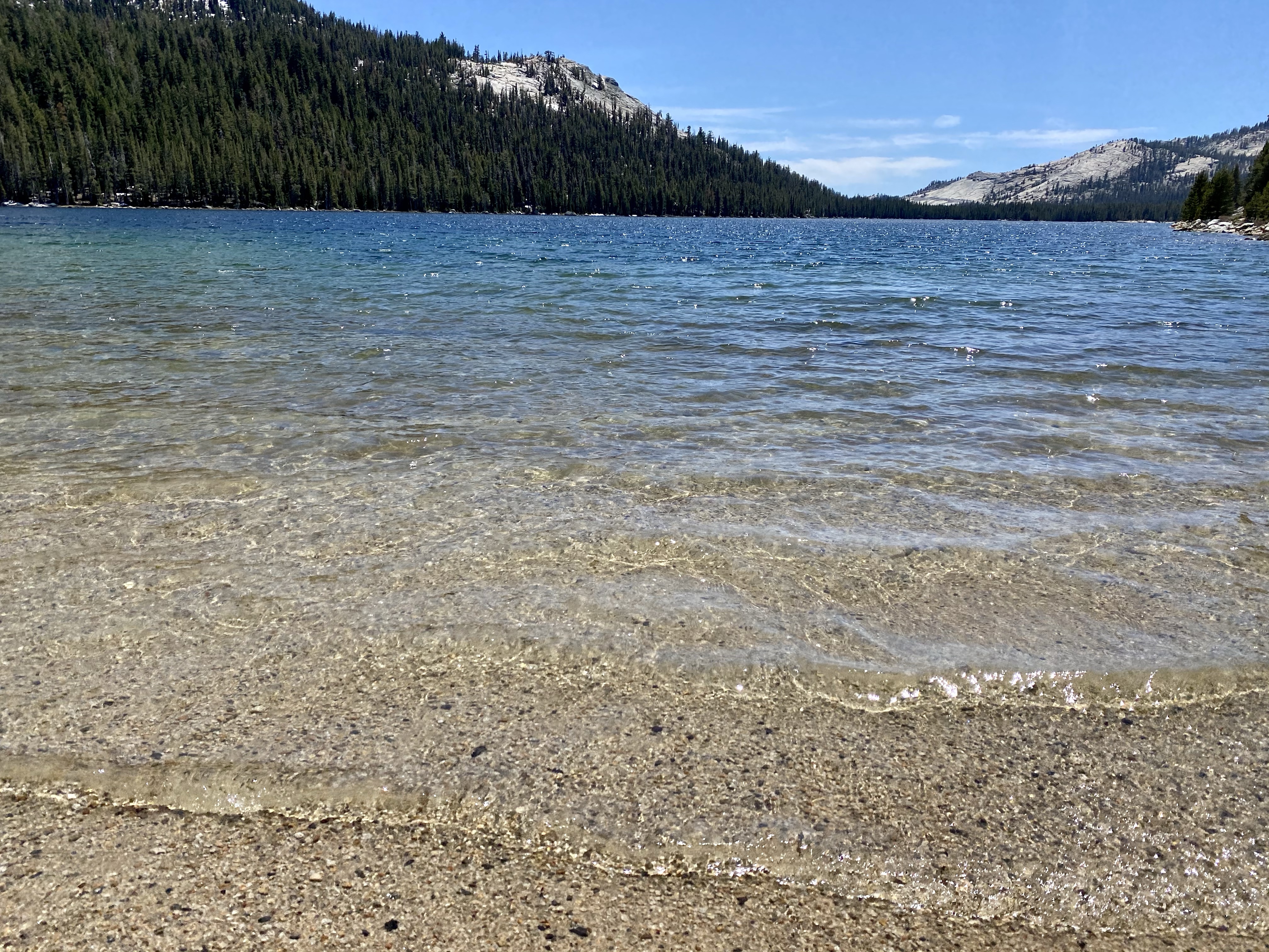
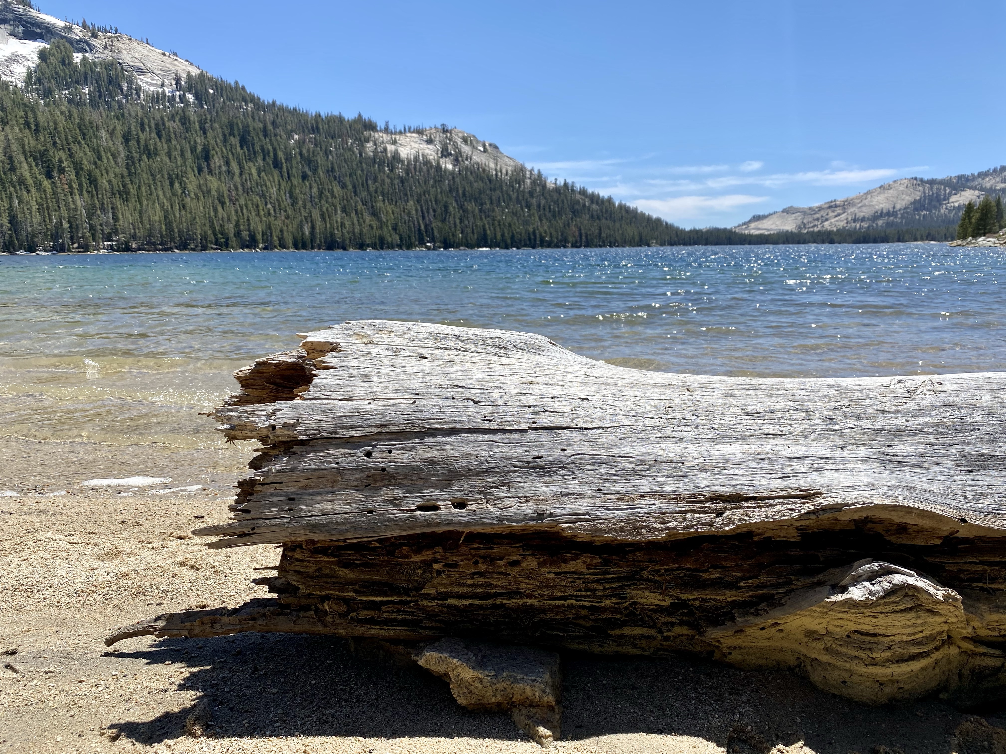
After resettling in my new spot, I lathered up with sunscreen, packed my bag, grabbed my chair and sand mat, and headed to the beach! I chose a spot on the far left, close to the rocks, providing myself with a little bit of privacy. Just lovely. I spent the day sunbathing, reading, journaling, and people watching. I enjoyed the families who shrieked and laughed as they tortured themselves in the ice water the most. They clearly hated it and loved it at the same time – must of been the challenge of proving they could withstand the cold. I had a few duck visitors, but that was the biggest interruption.

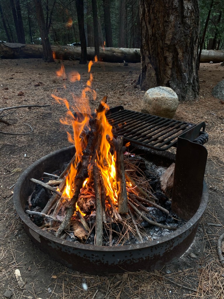
Hours later, a little sunburnt in spots and hungry, I headed up the road to camp for a shower and dinner. The vitamin D had lifted my mood, the stillness had healed my sore muscles. Dinner was delicious.

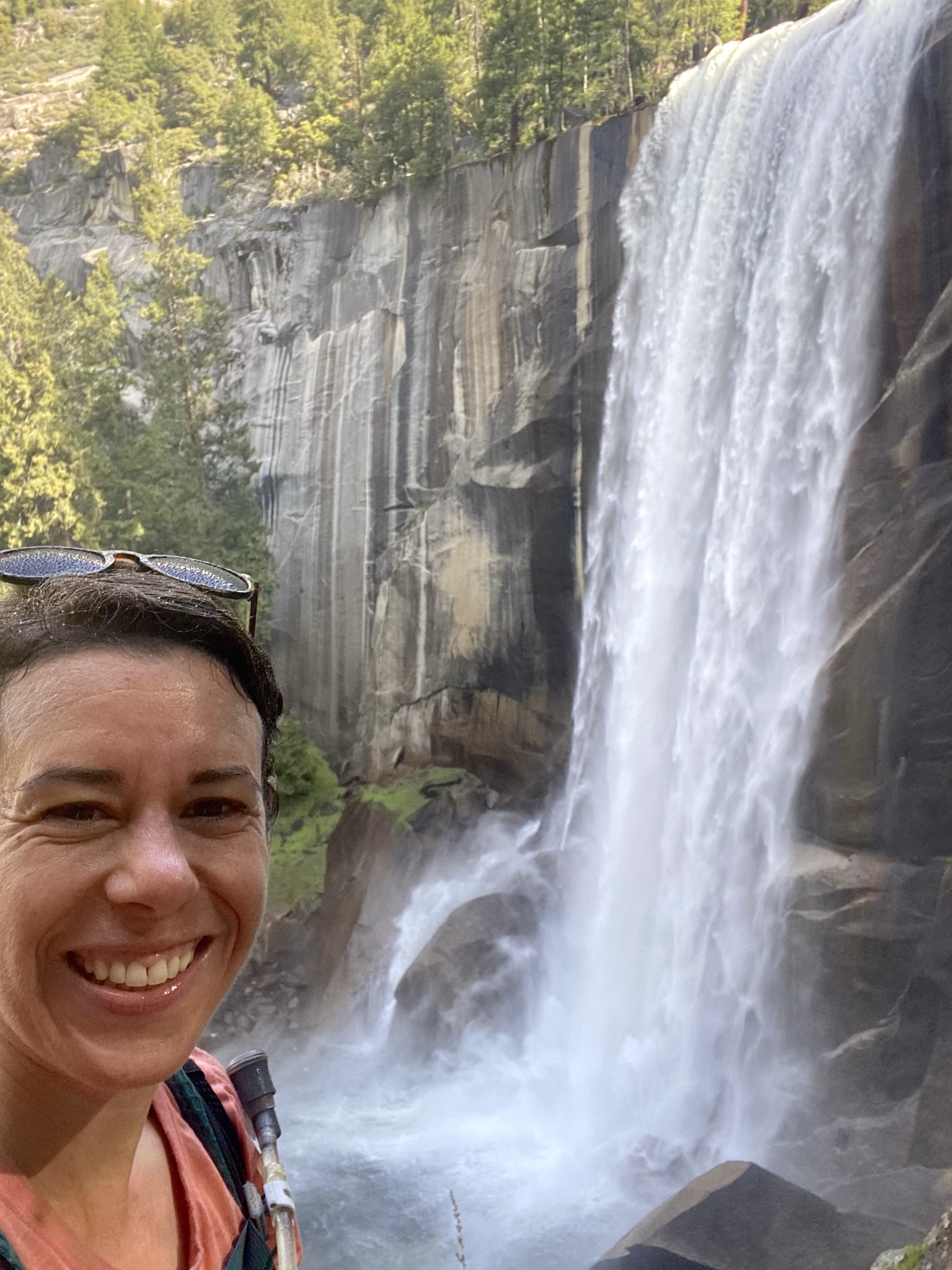
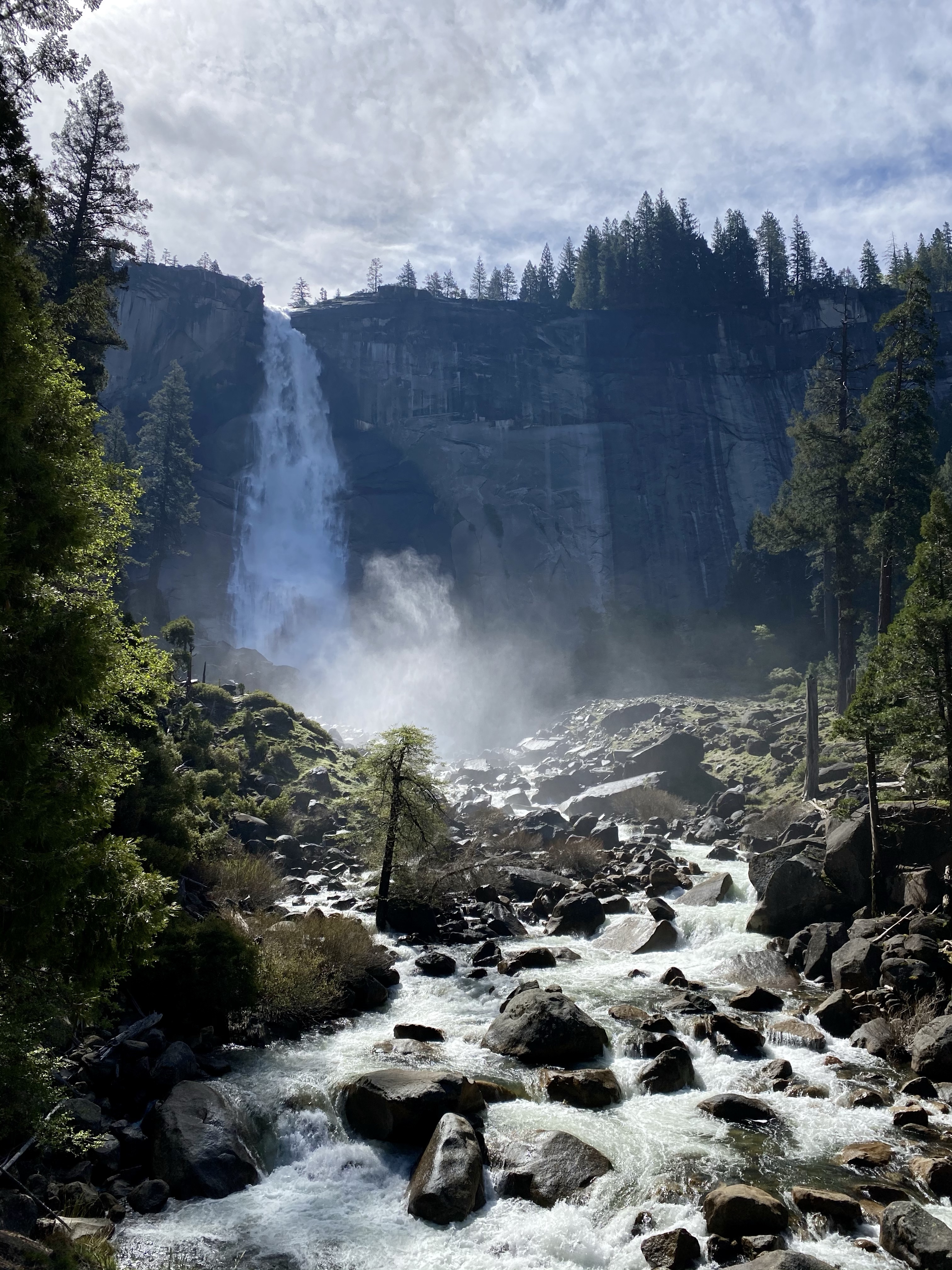
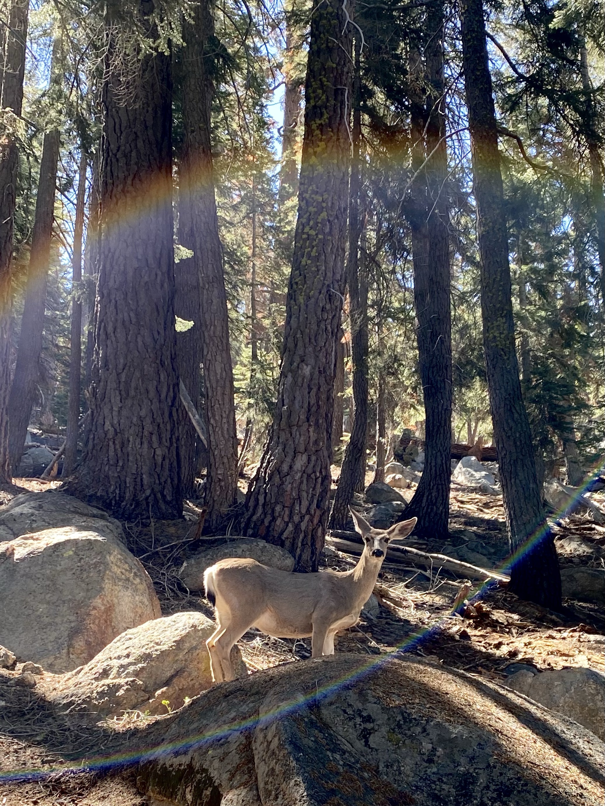
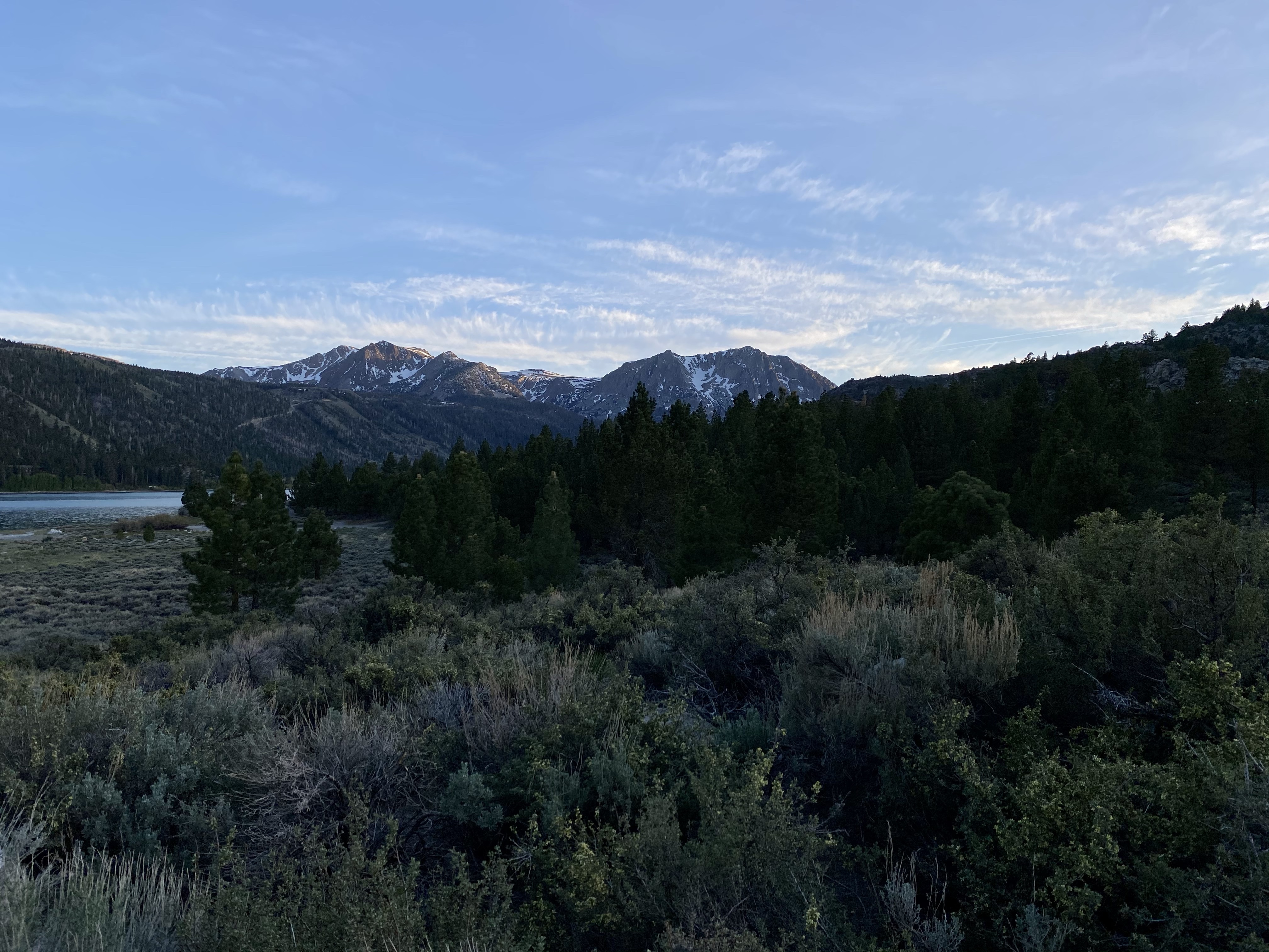
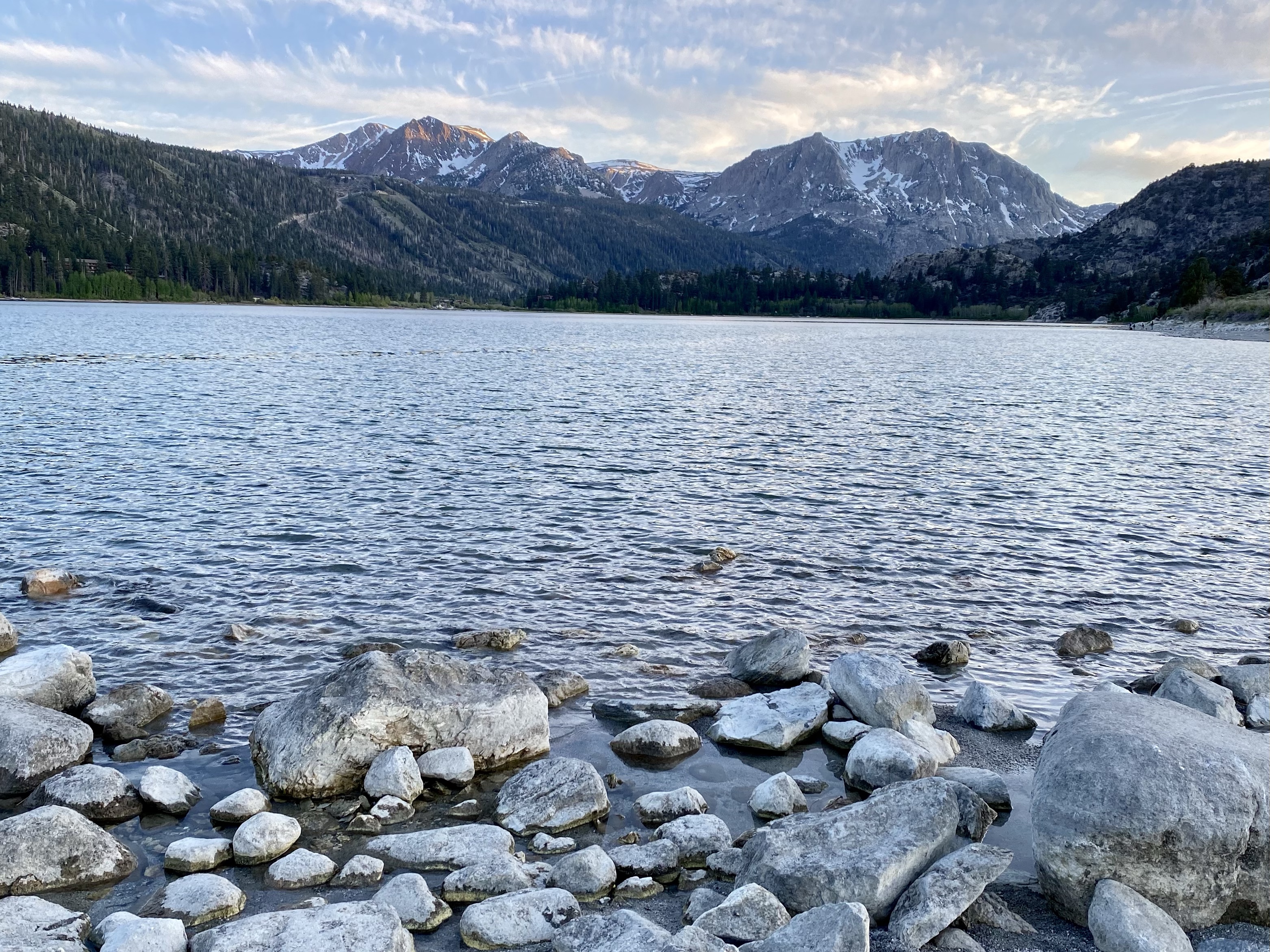
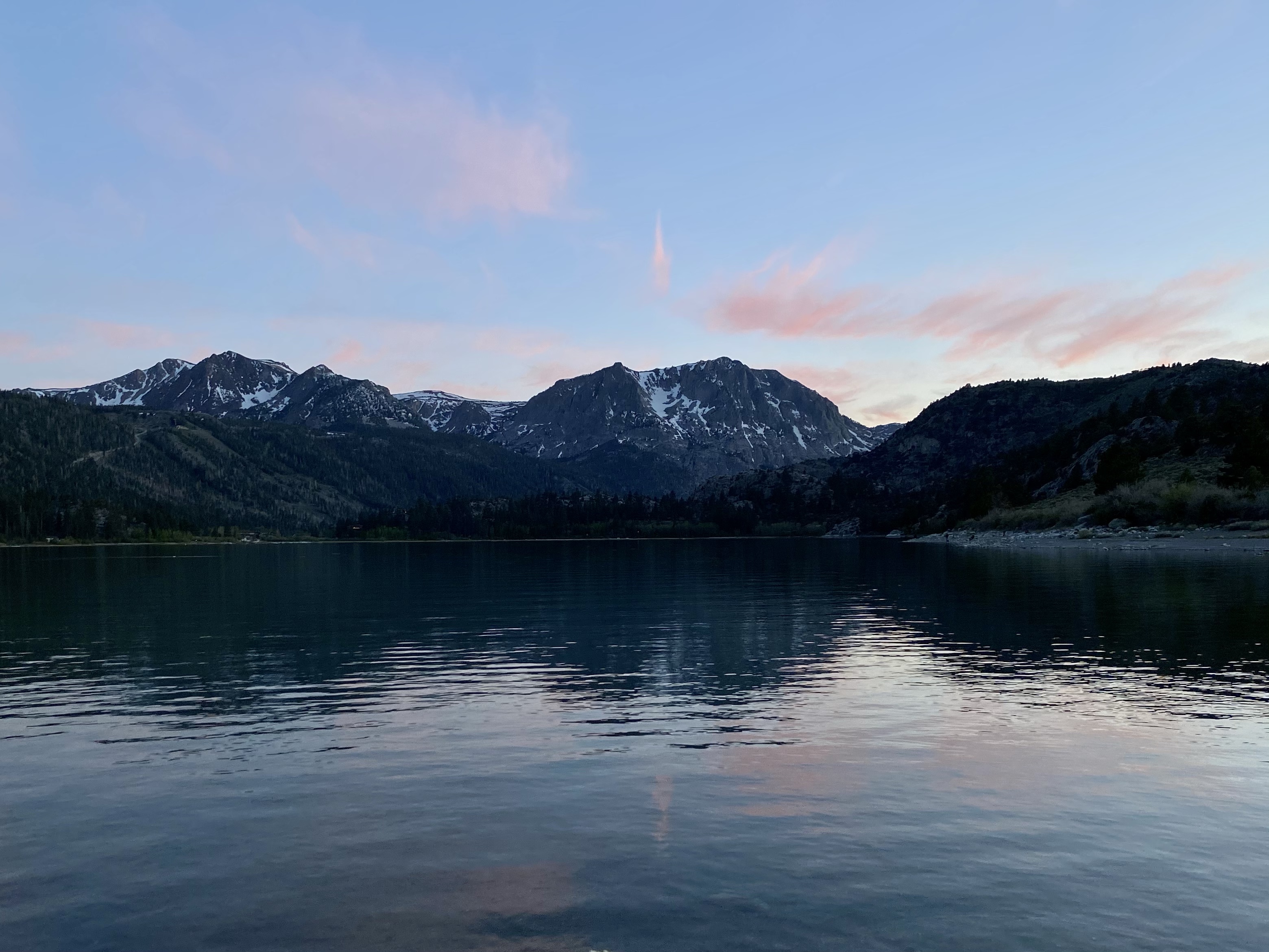
I wasn’t ready for bed yet, and the sun was casting magnificent shadows on the mountains, so I grabbed my cameras and headed back to June Lake for the sunset. It started golden and bright, dipping behind the tree covered mountain, then turned pink and purple against the puffy clouds. The colors reflected off the lake, creating a dreamy romantic setting. A few deer were strolling near the shore, having an evening drink, enjoying the space with fewer visitors. I’m so glad I was able to stay, chose to stay.

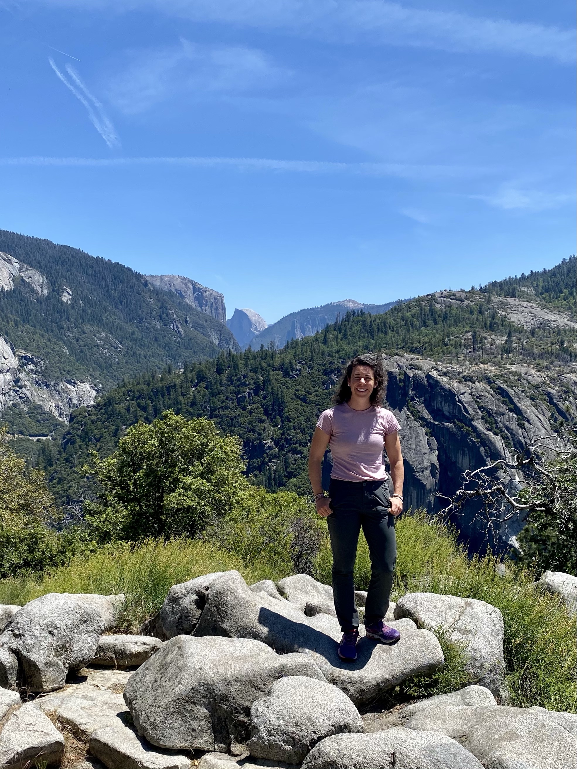
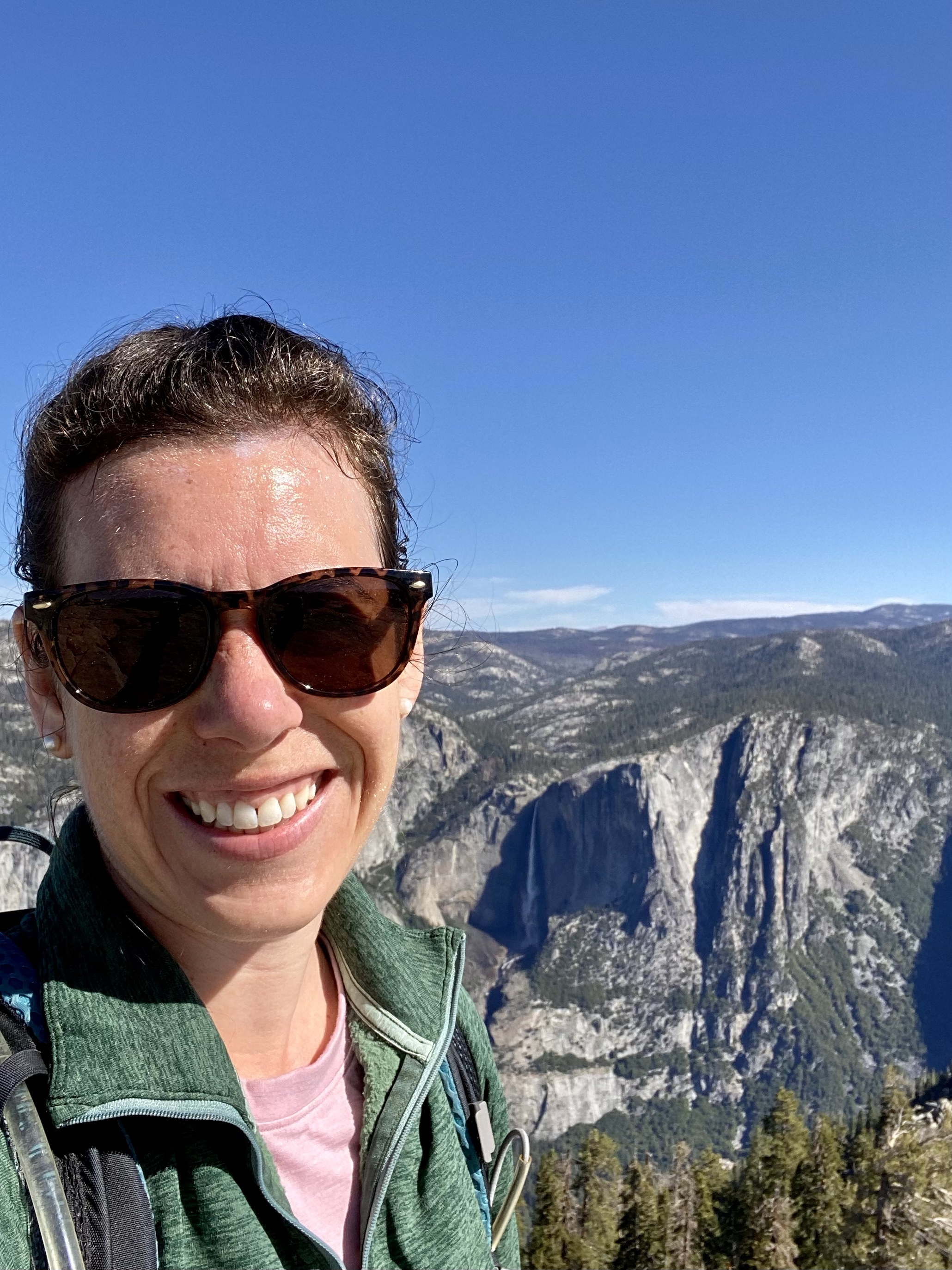
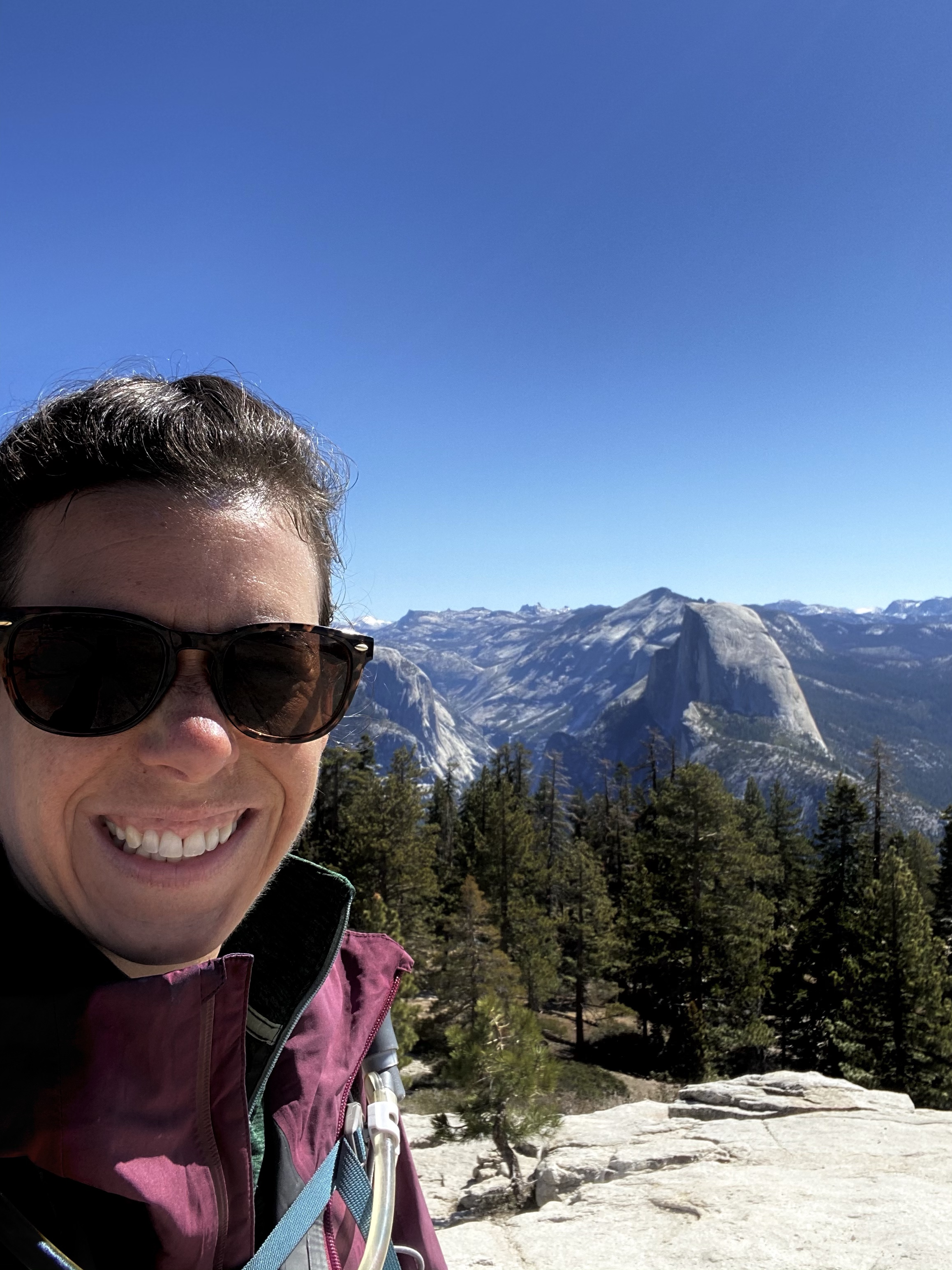
That evening was quiet, and the next morning slow, finally allowing myself to stay in the moment. At Yosemite a conversation reminded me of how much I’ve accomplished, how far I’ve come, and this day at June Lake allowed me to reflect on that. While I’m excited about what’s next, I’m also in awe of all I’ve done so far. A year ago this was just a dream, now I’m about halfway done. Wow.

As I decided how far to travel next on my way to Great Basin National Park in Nevada, I did laundry and got gas. I decided I still wasn’t feeling a big drive, still wanted to rest and be relatively still, so I found a dispersed camping spot about 40 miles away. A little progress towards my next destination, but an easy drive.

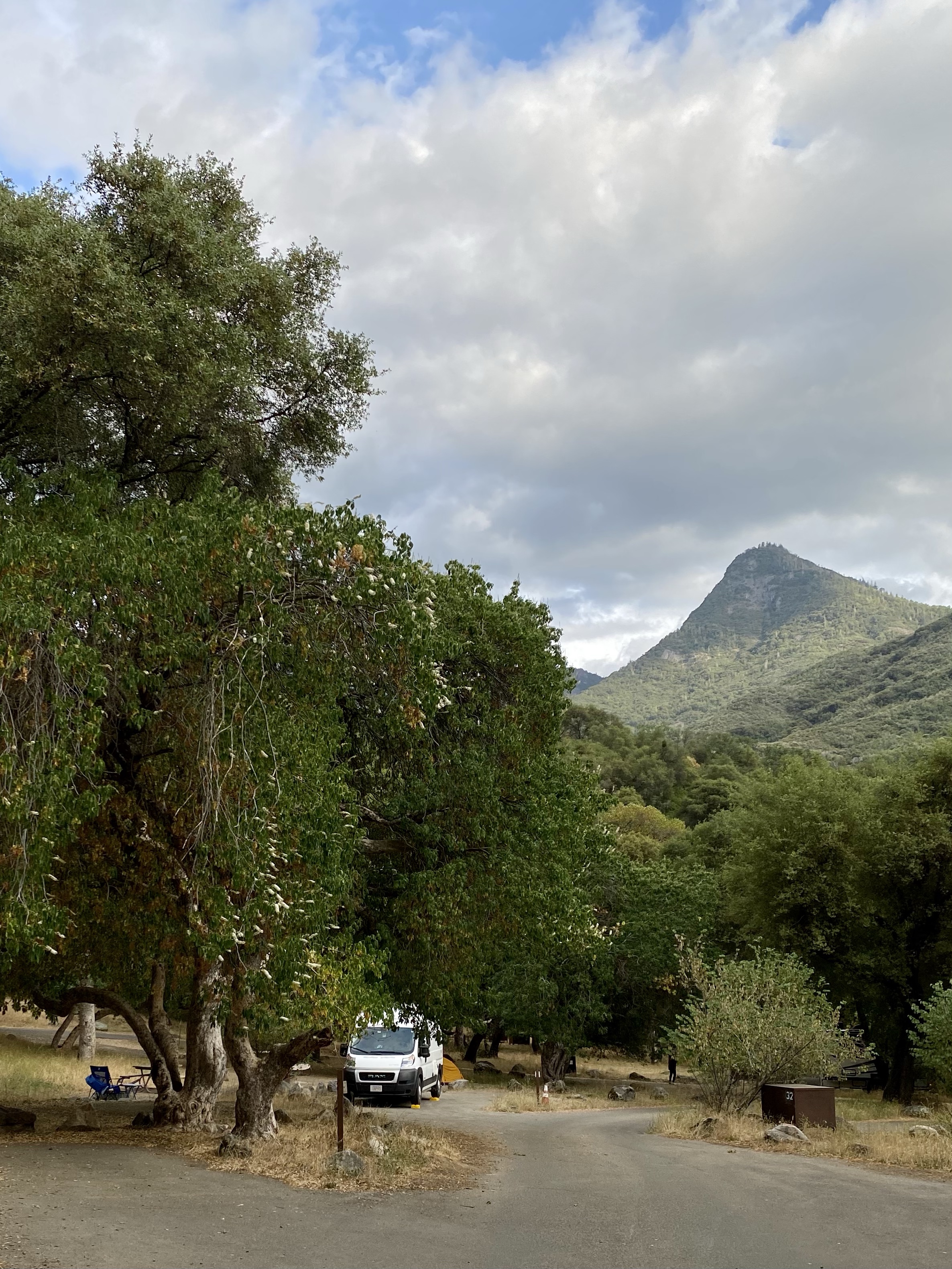
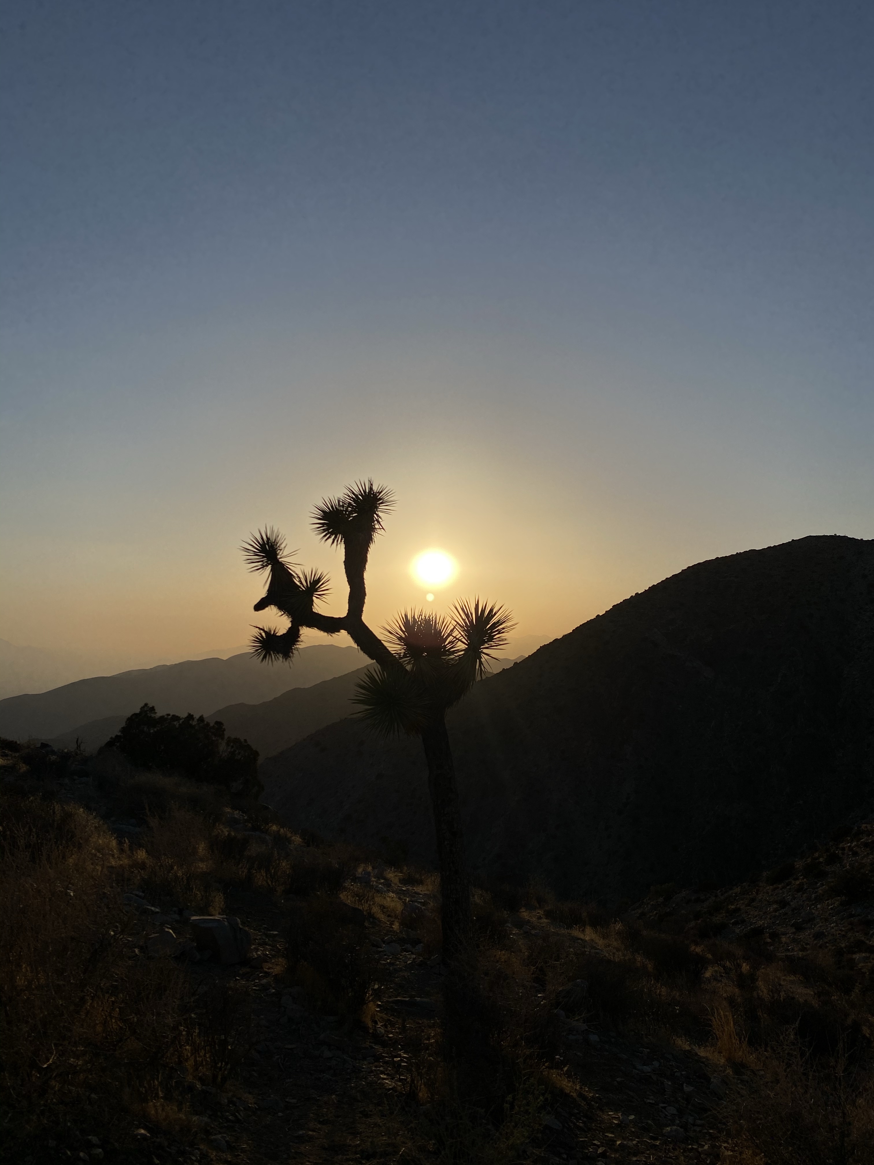
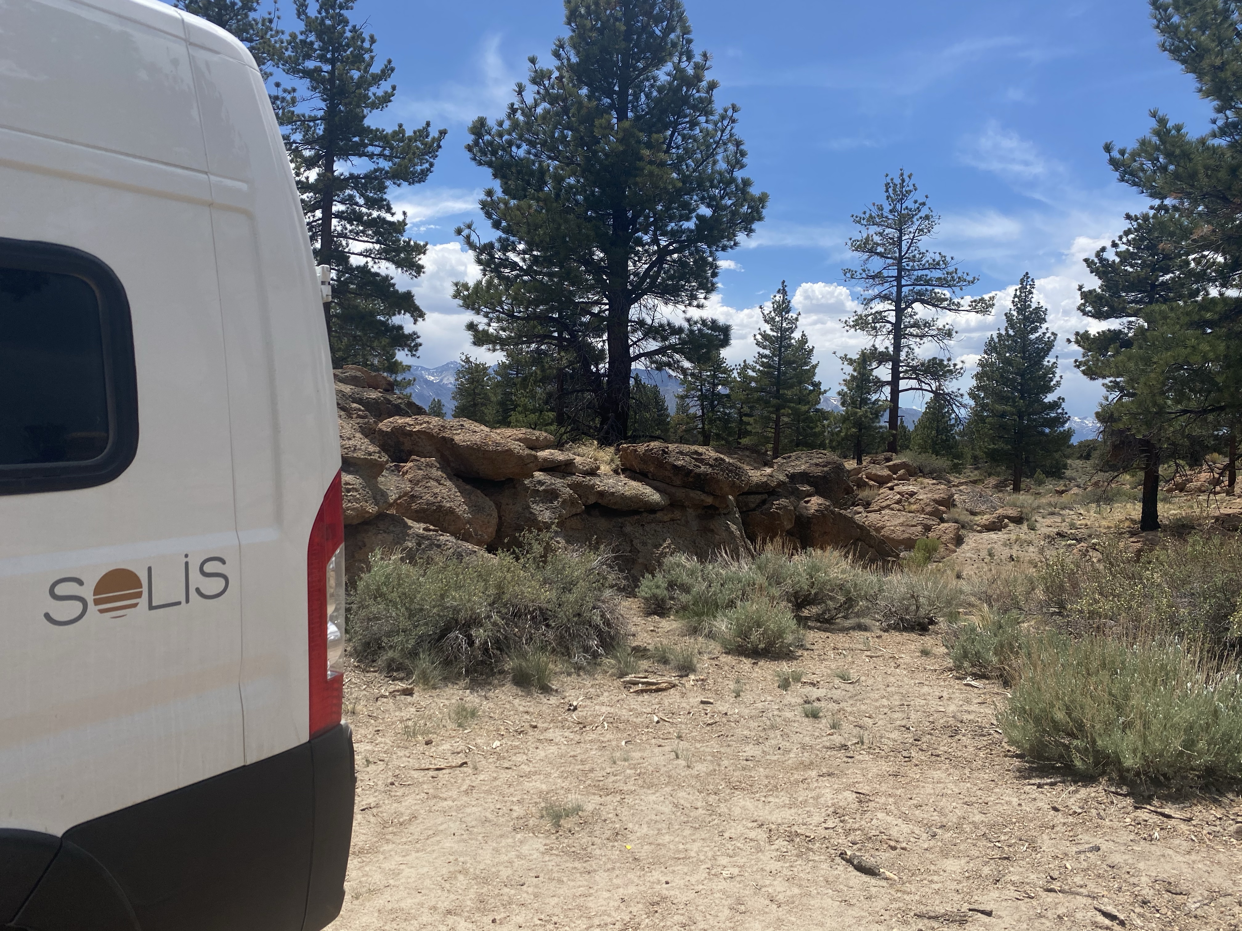
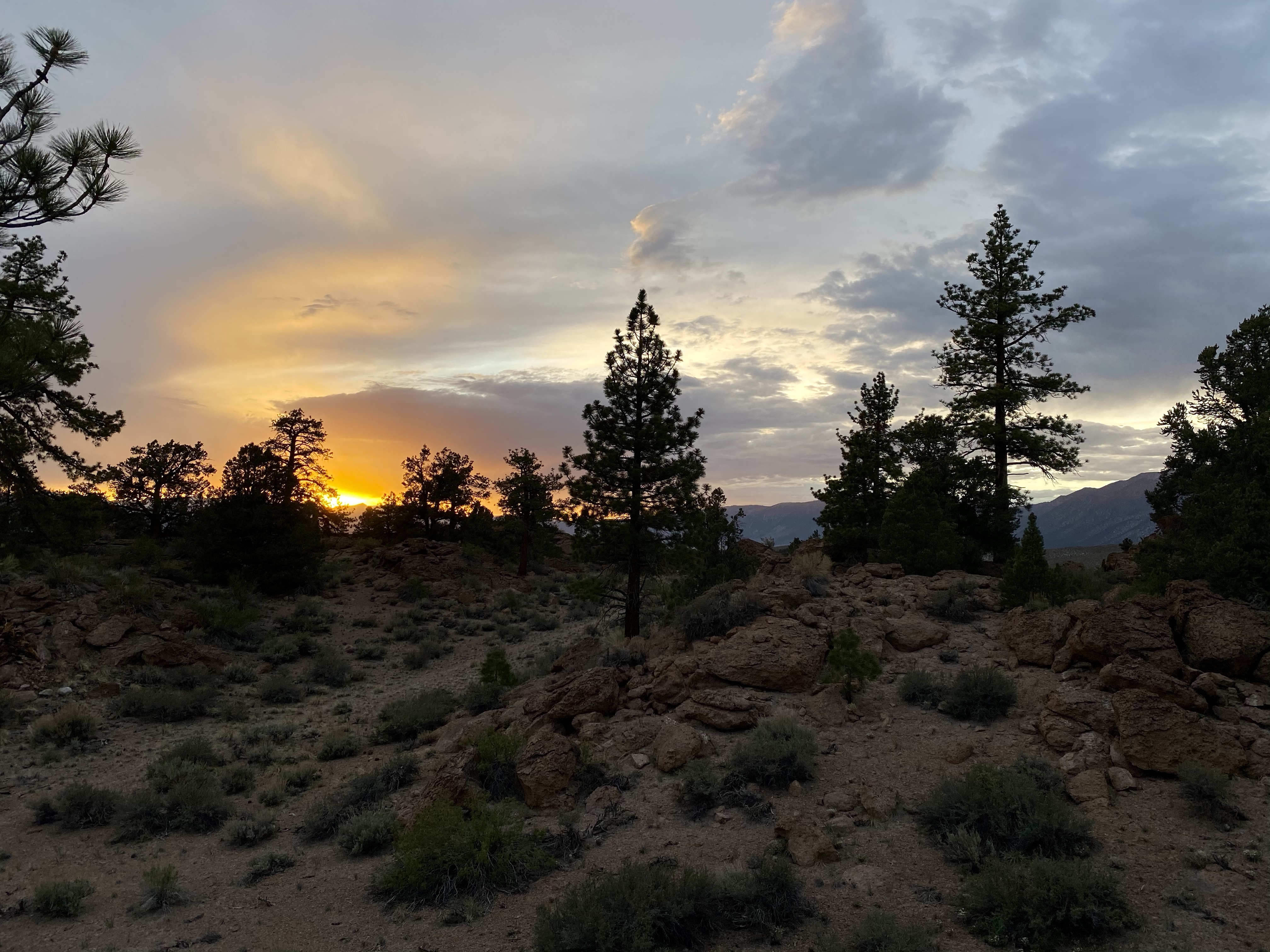
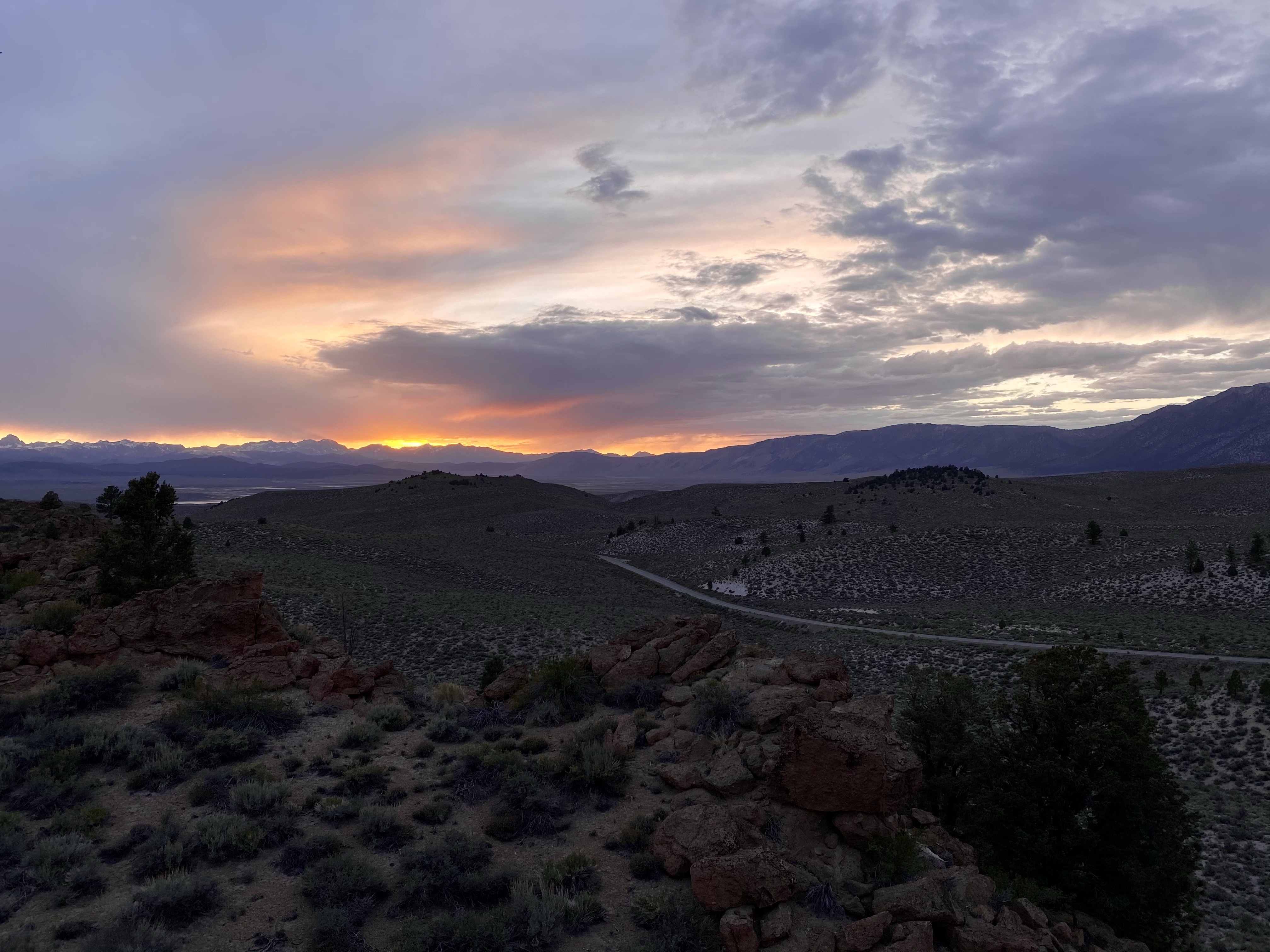
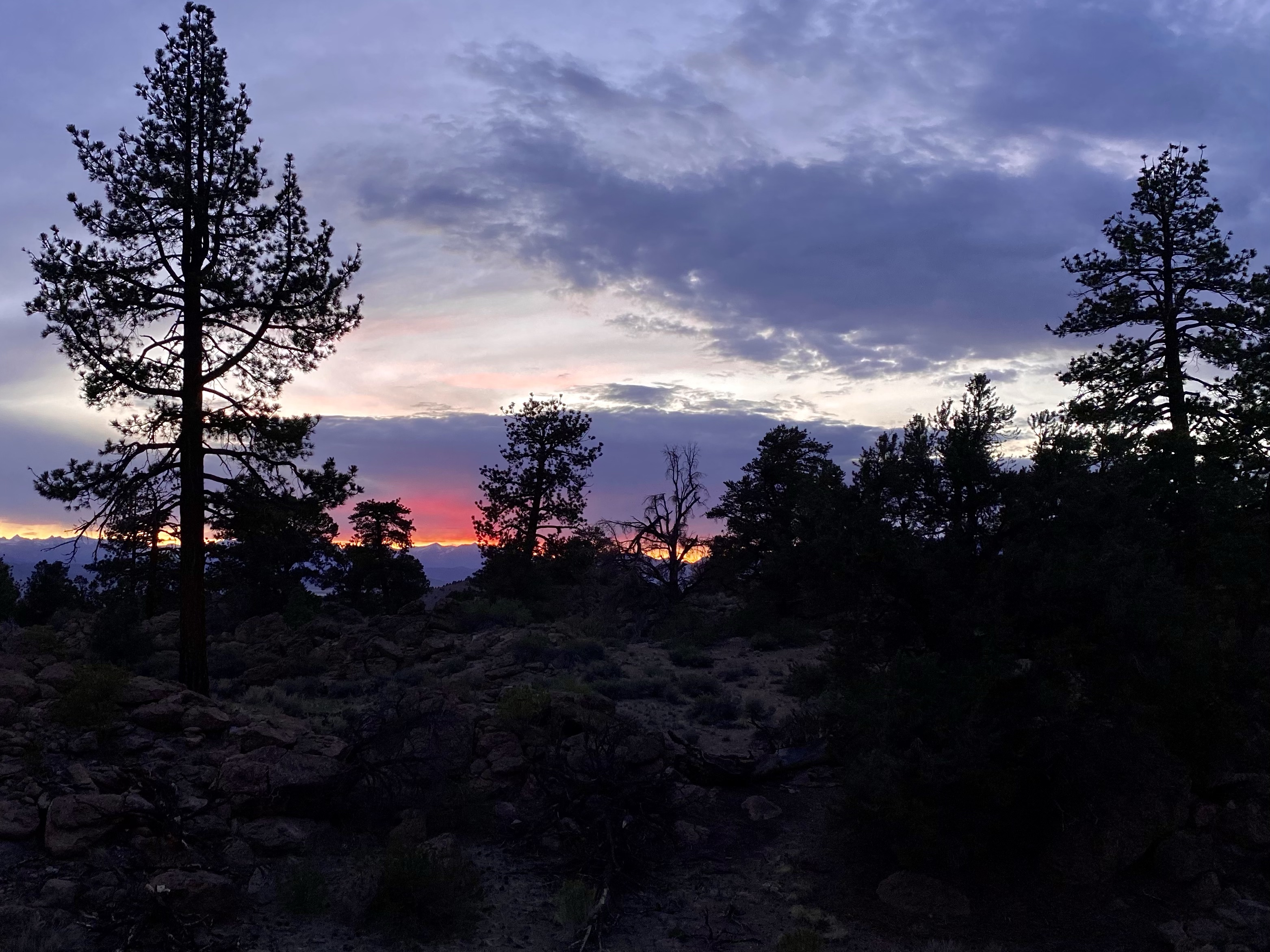
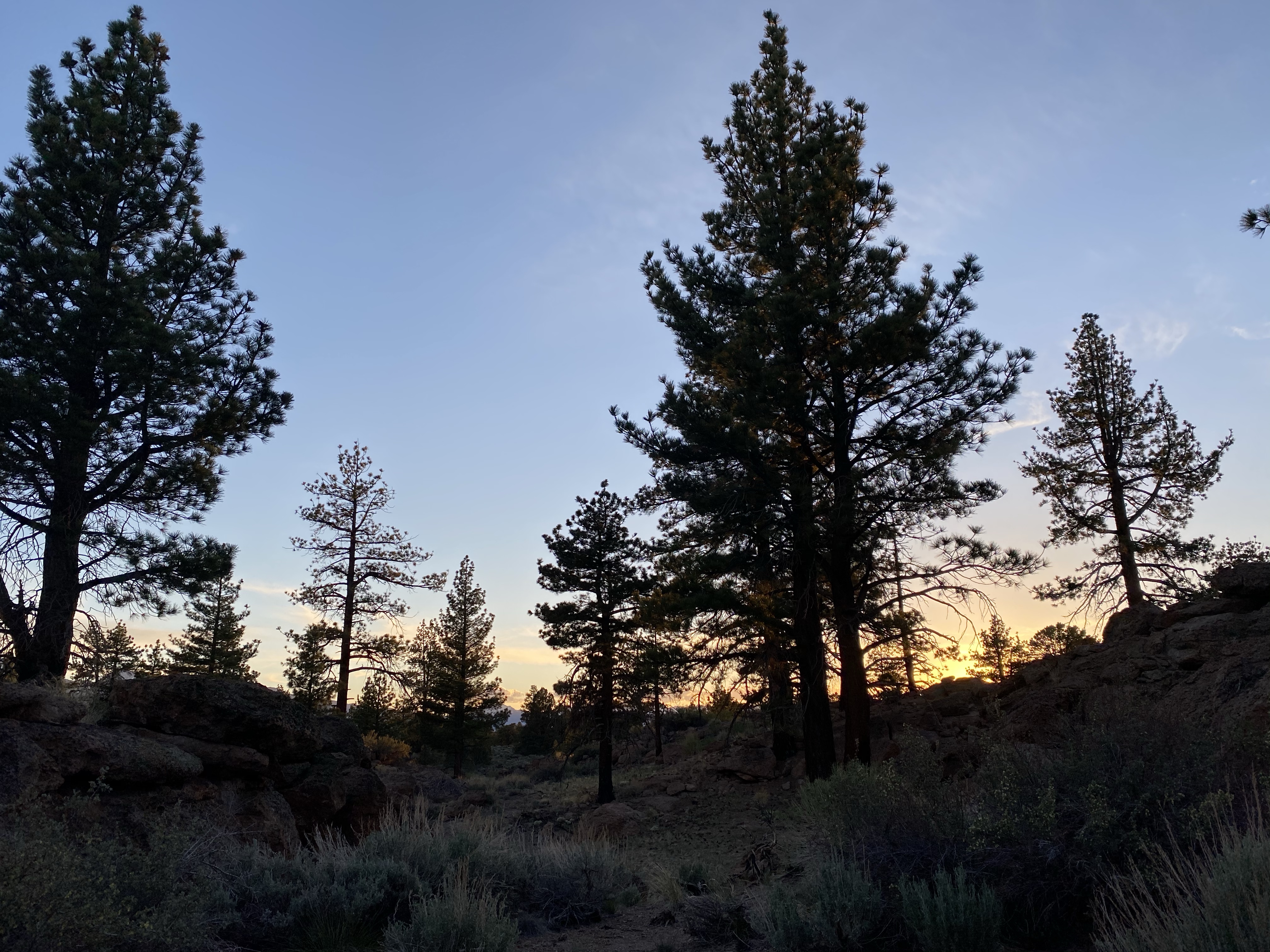
Owens Gorge Road provided an oasis in the forest, among red rocks and dirt roads. Other campers nearby, but lots of privacy. I filled the afternoon with chores, phone calls, and cooking. Then climbed over the hills to catch the magnificent sunset over the mountains. Bliss.

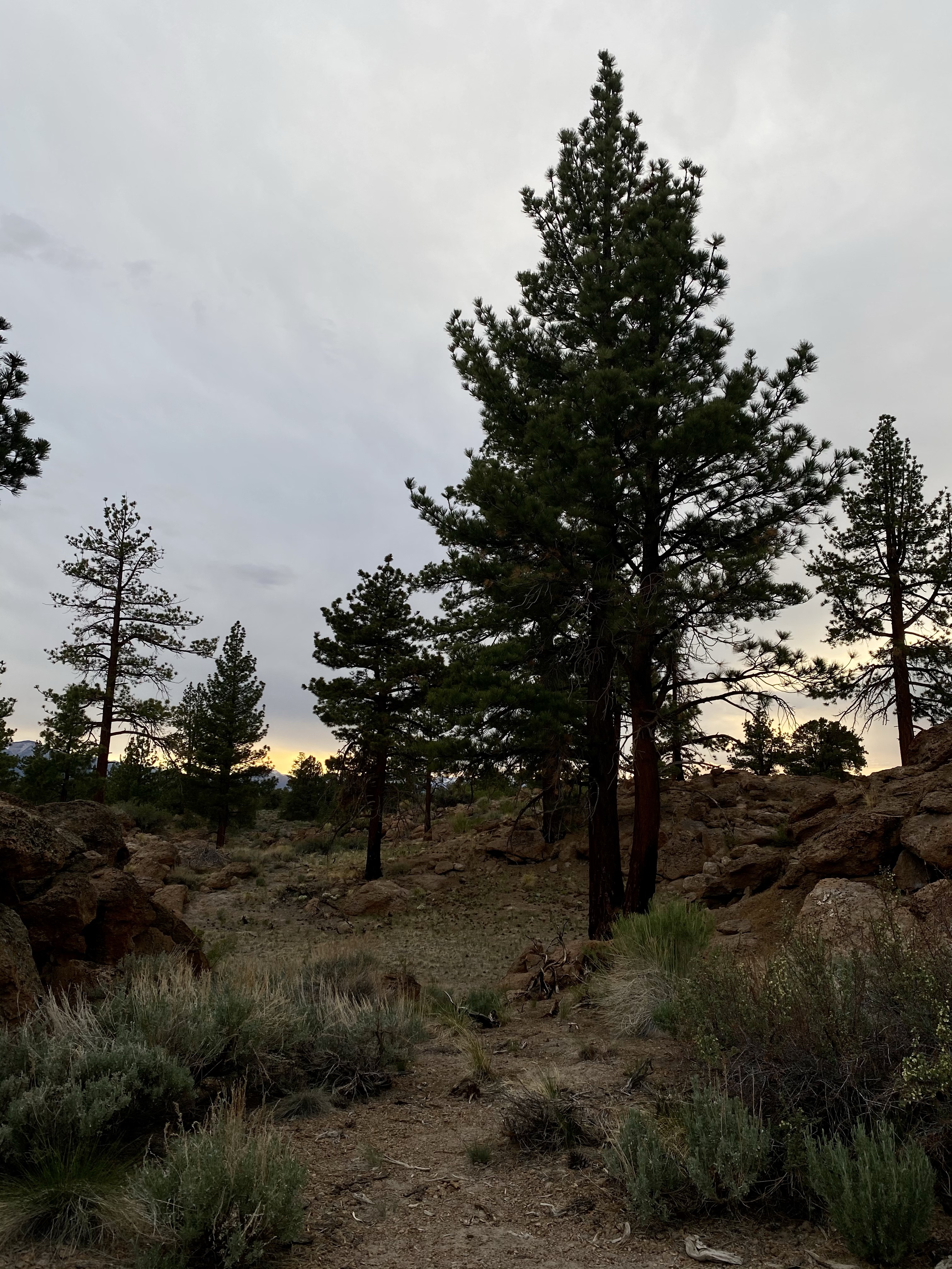
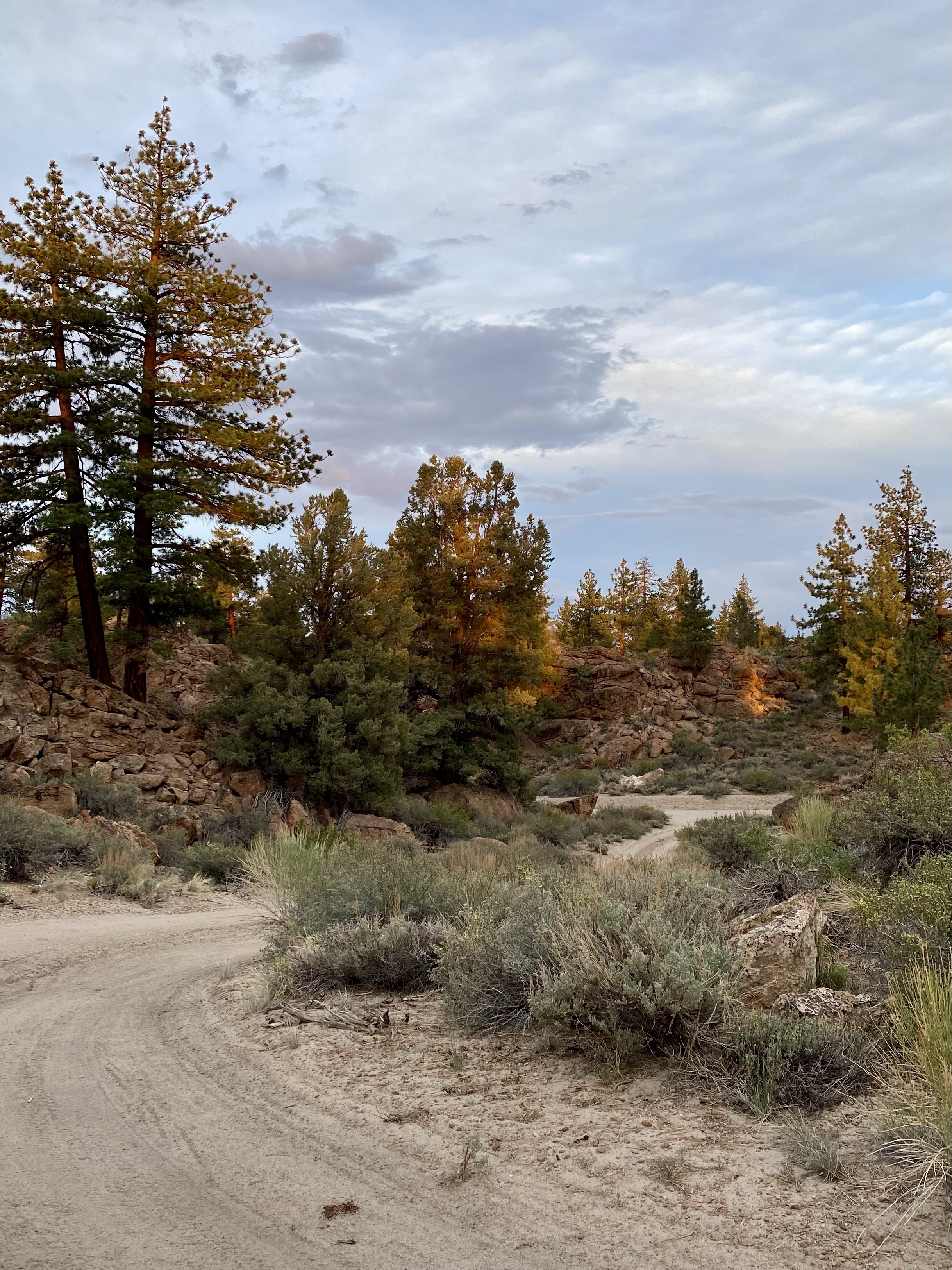
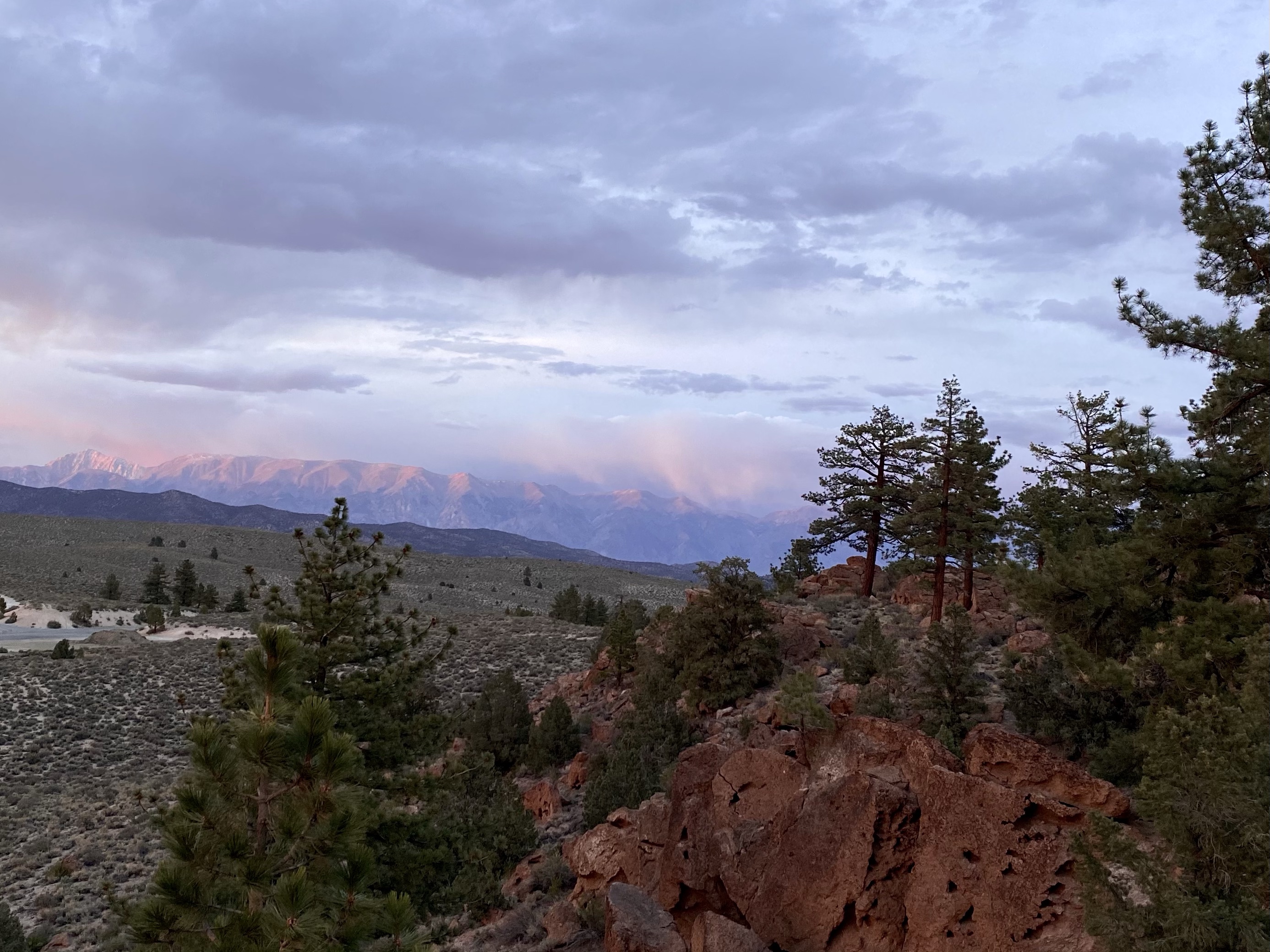
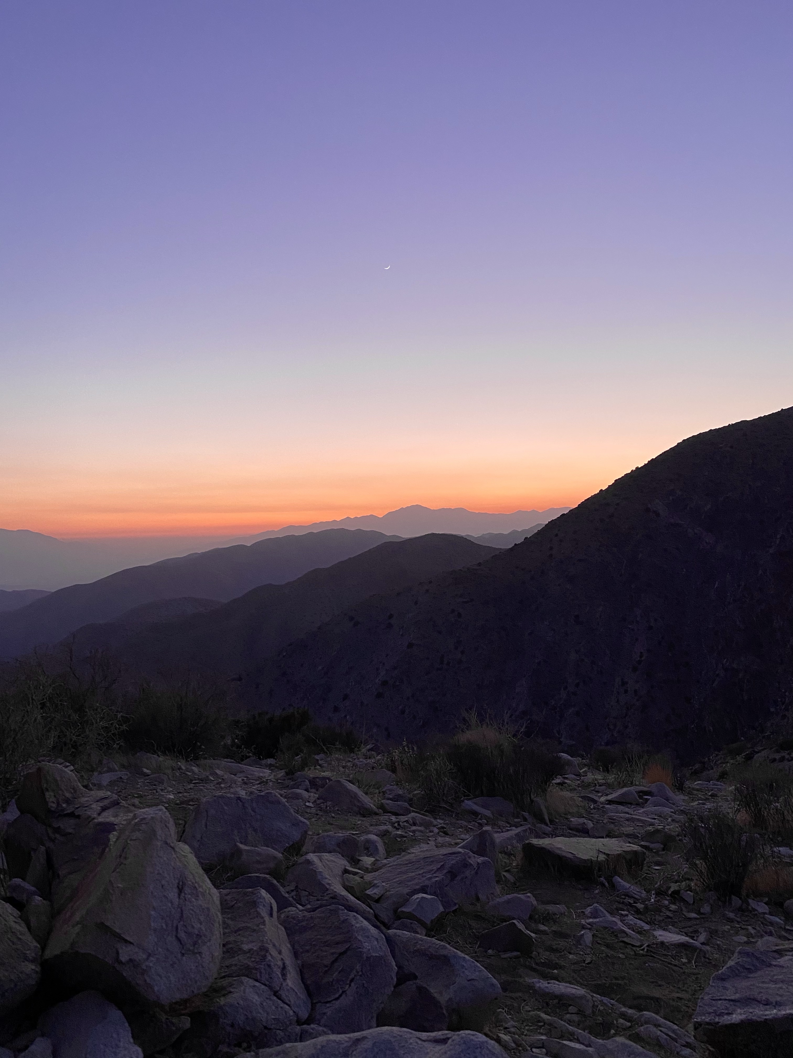
I loved it so much here, and was continuing to crave rest and reflection, that I spent my next day in the exact same spot. I read, journaled, completed paperwork, and relaxed. I watched lizards scamper around, pausing on rocks to do little push ups before finding a safe place to sun bath. I listened to the birds and breeze. I slept in the pop up top for a change of pace. Sometimes you need to go slow in order to go fast. I’d been going so fast for so many weeks, the slow down was much needed.

The next day I did need to move on and headed down Route 6, crossing into Nevada. Another new state for me! I remembered to lift my feet as I crossed the state line, hoping it would bring me luck for the next leg of my travels.

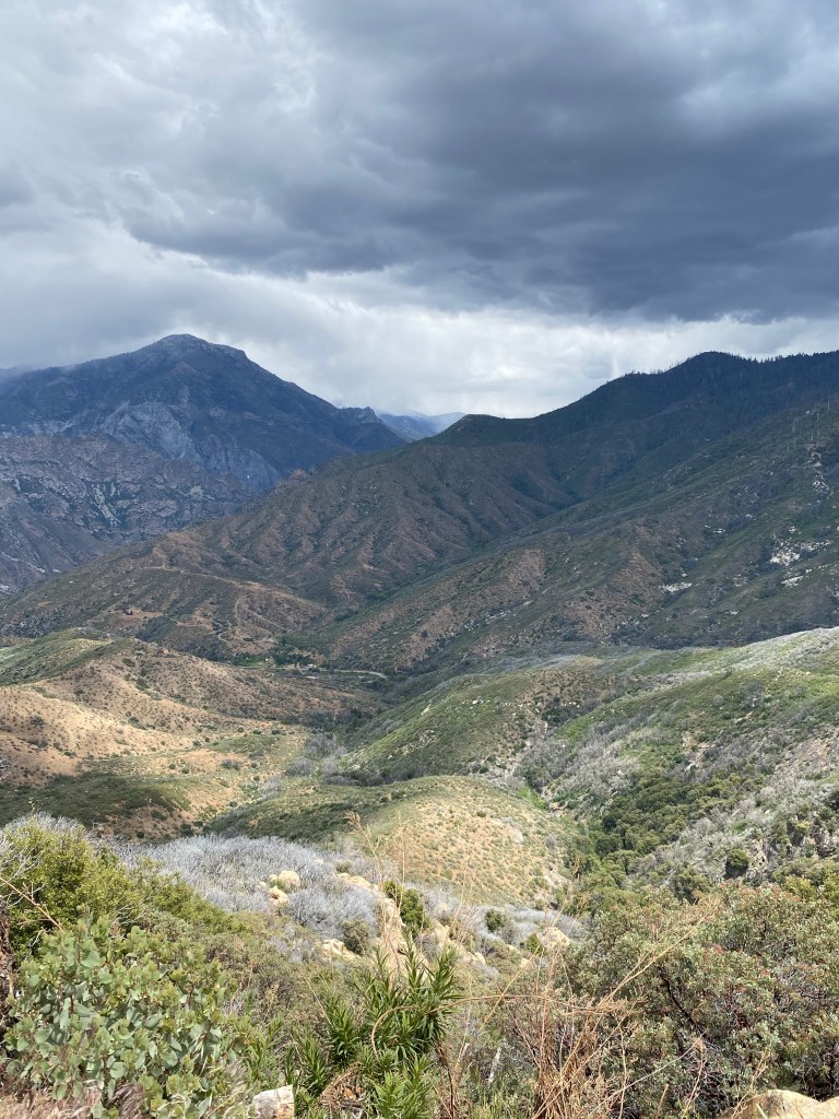
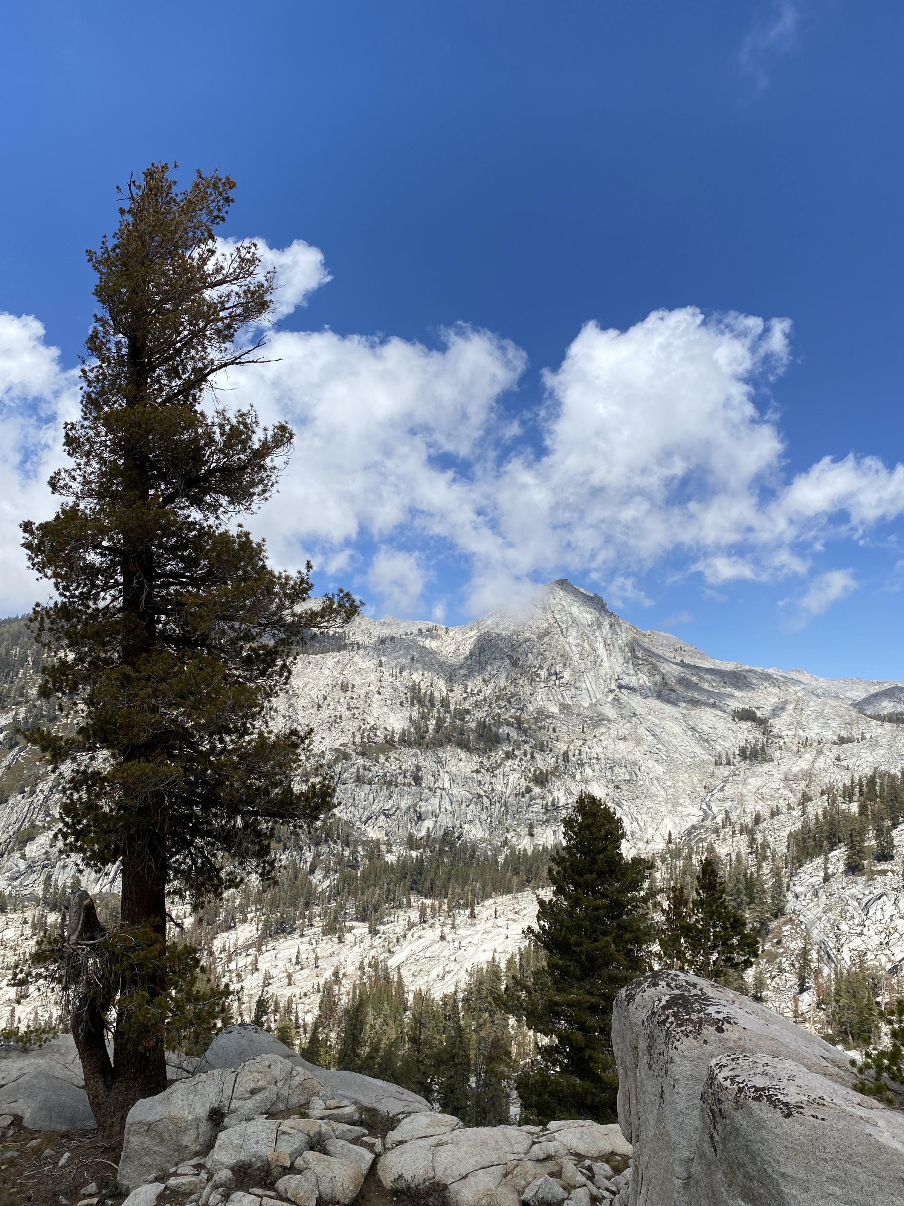
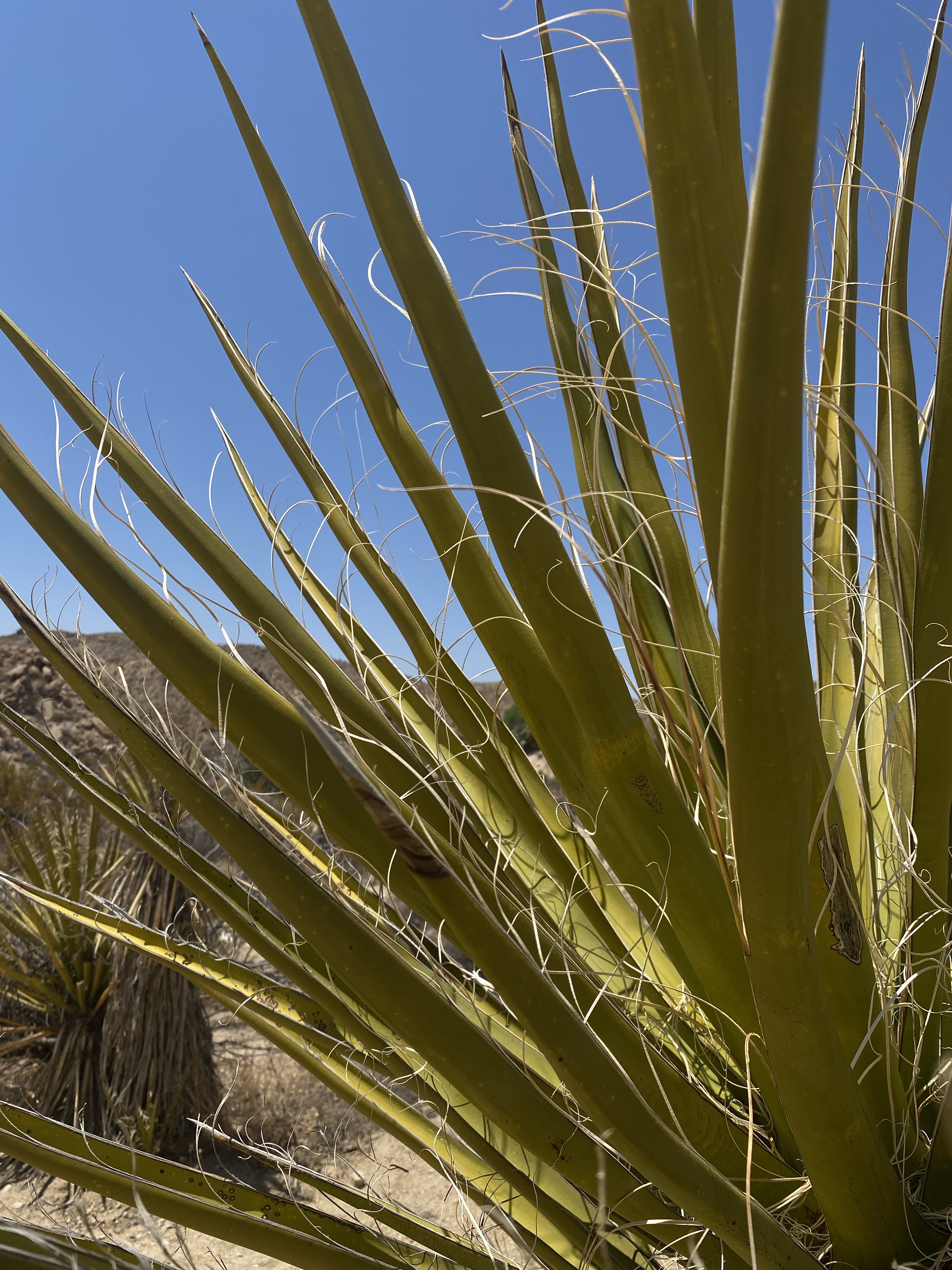
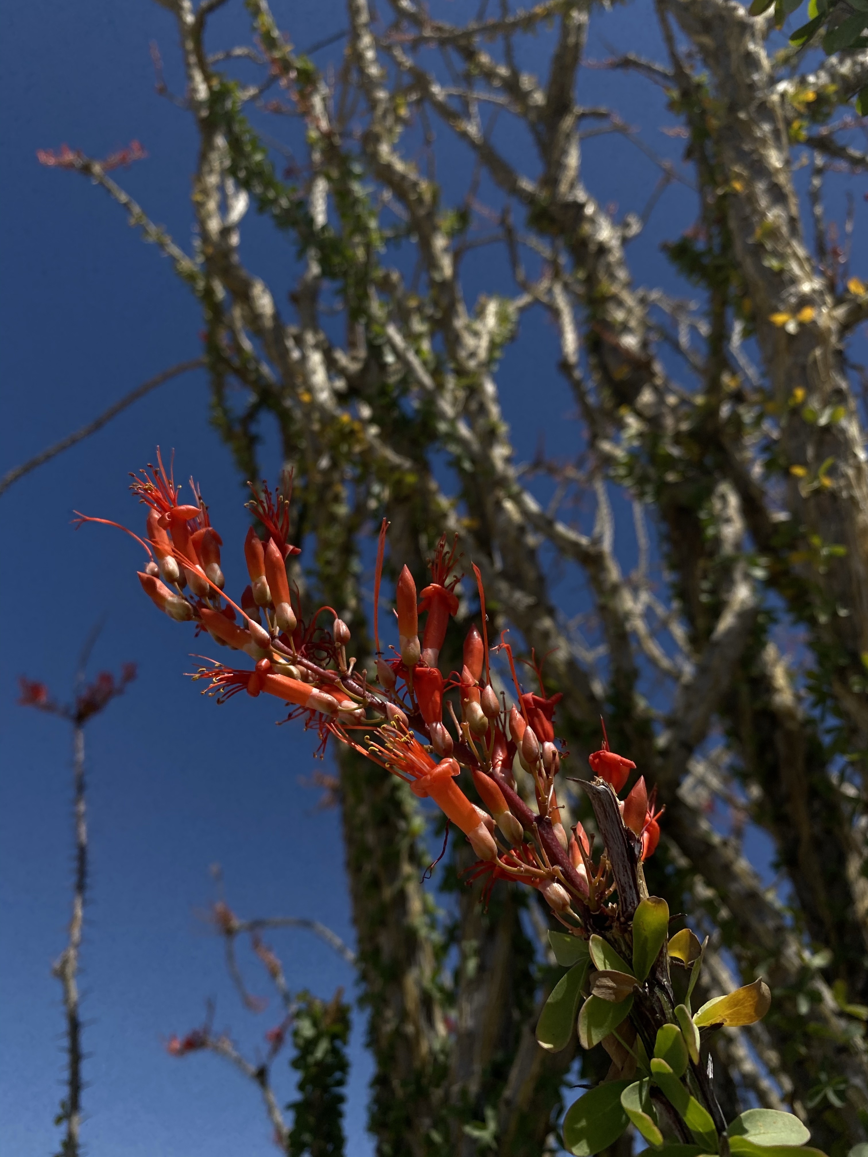
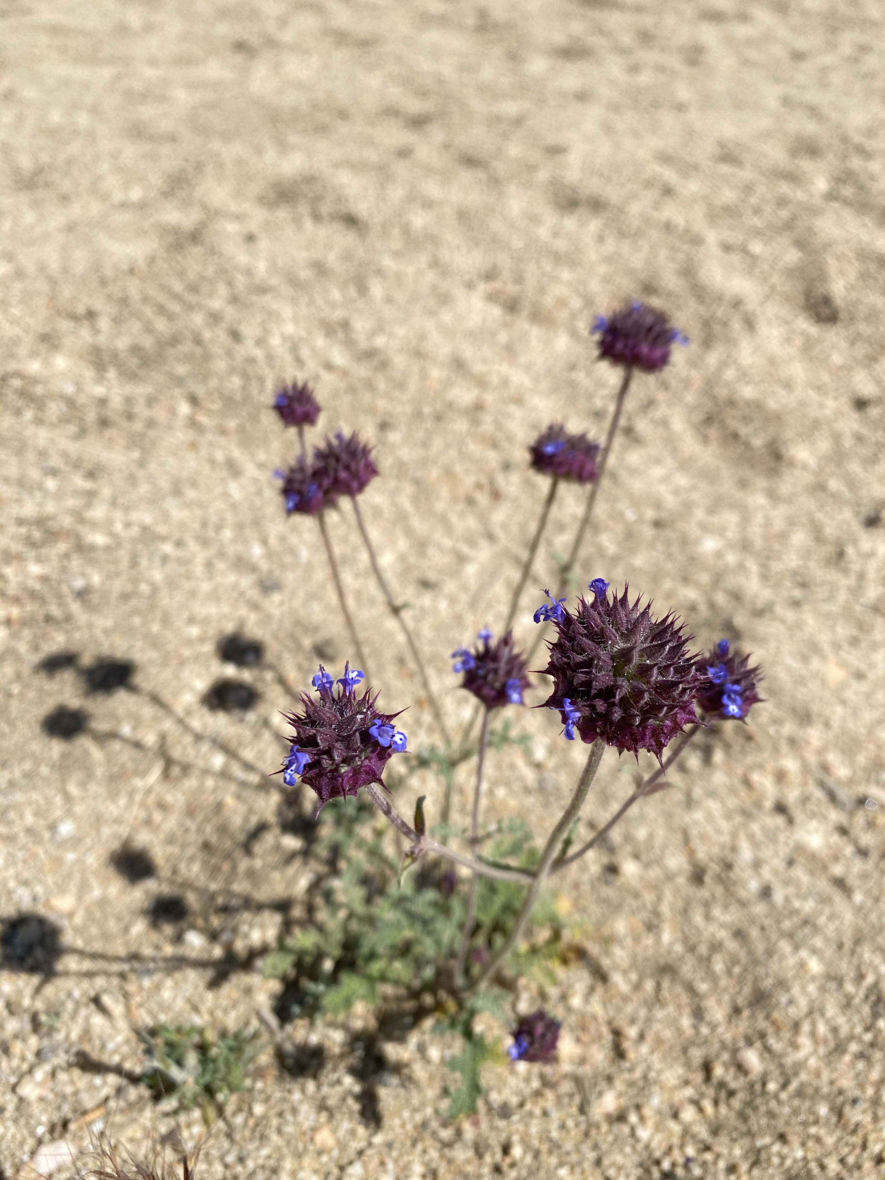
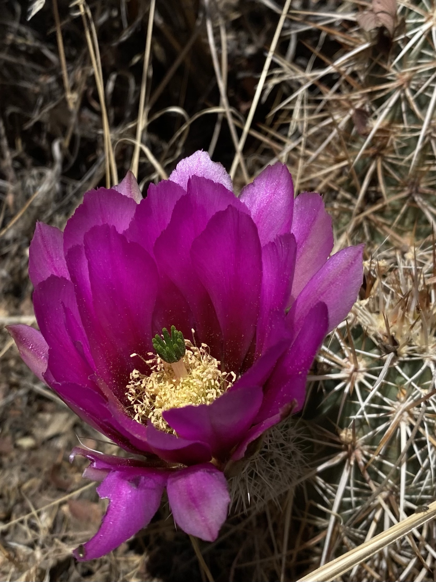
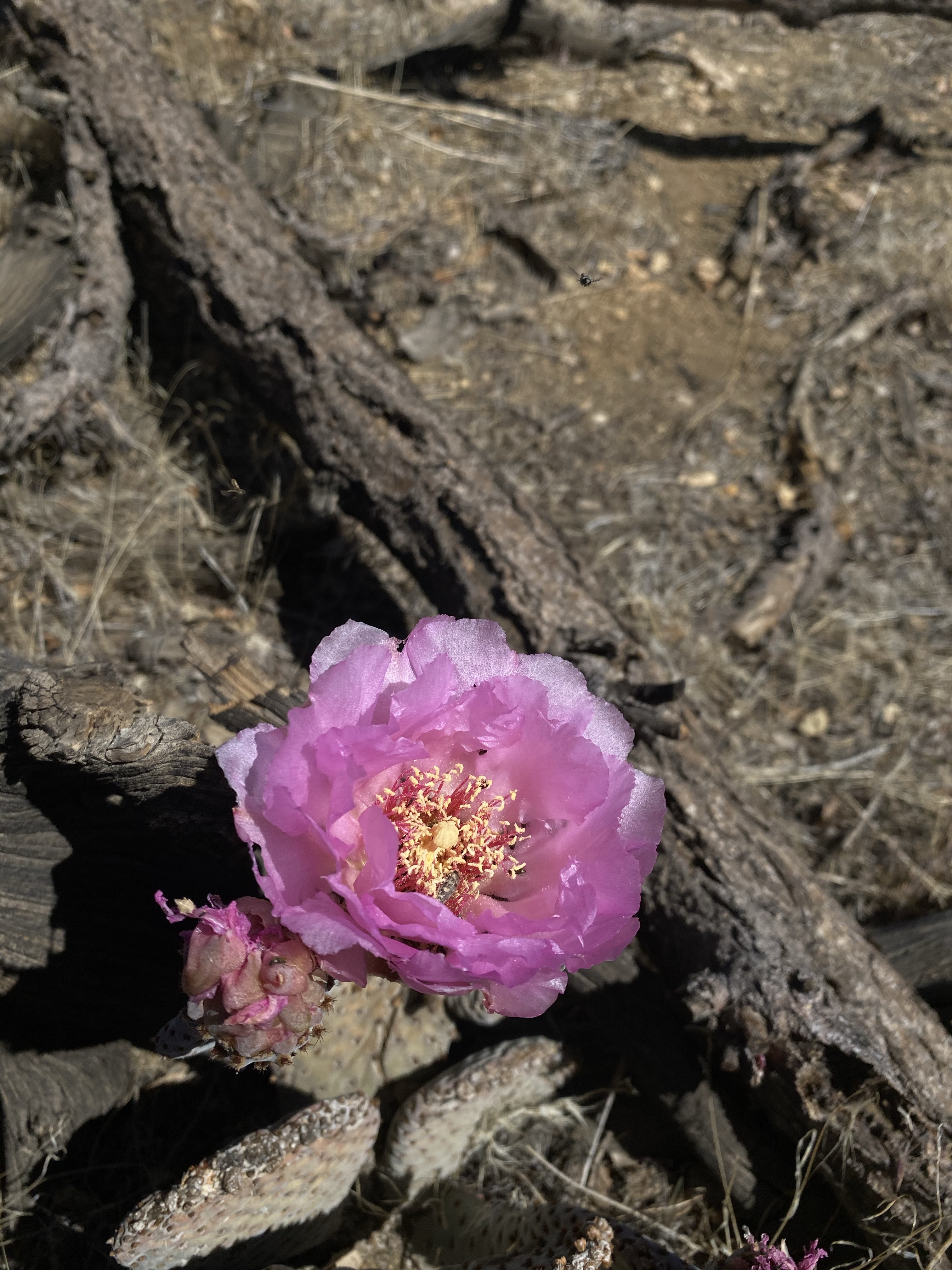
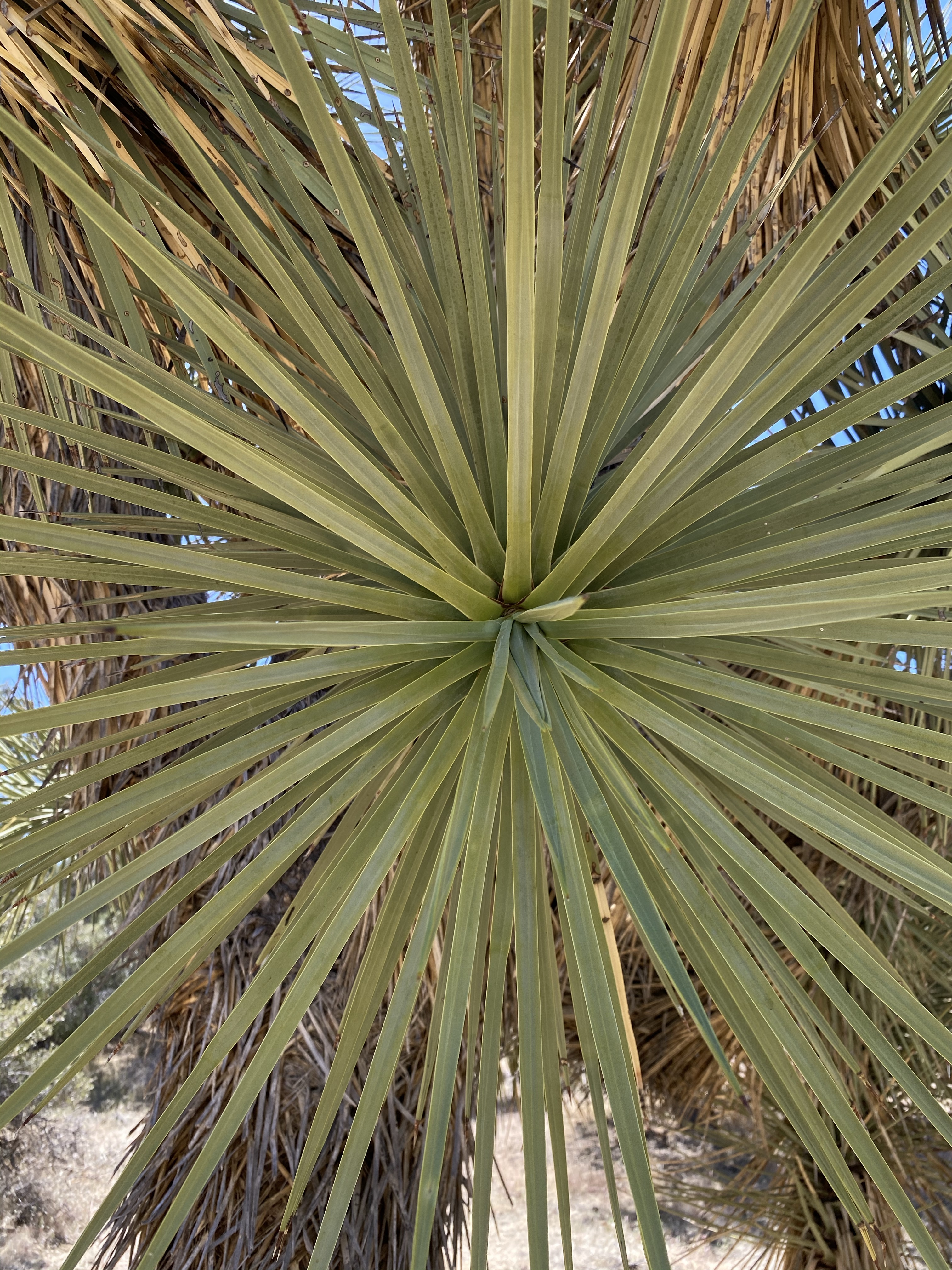
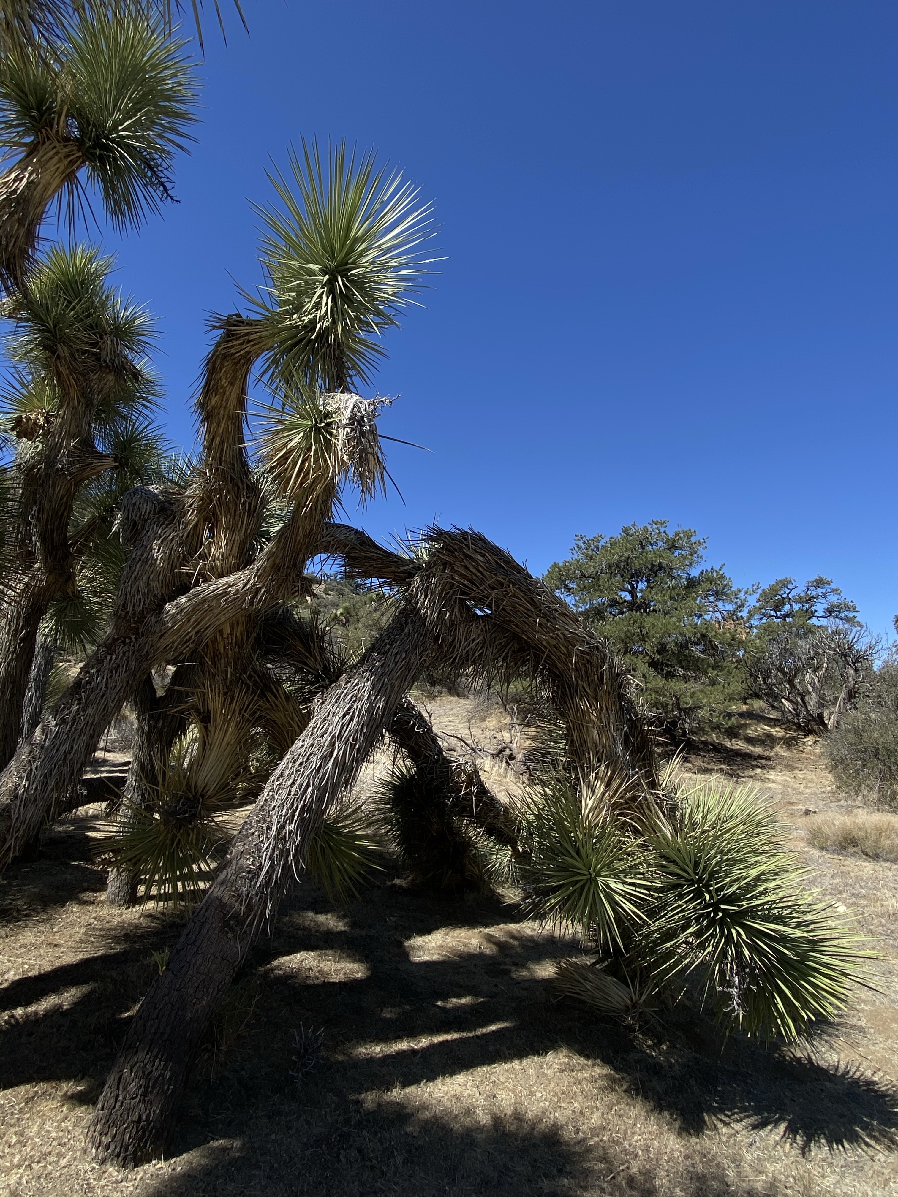
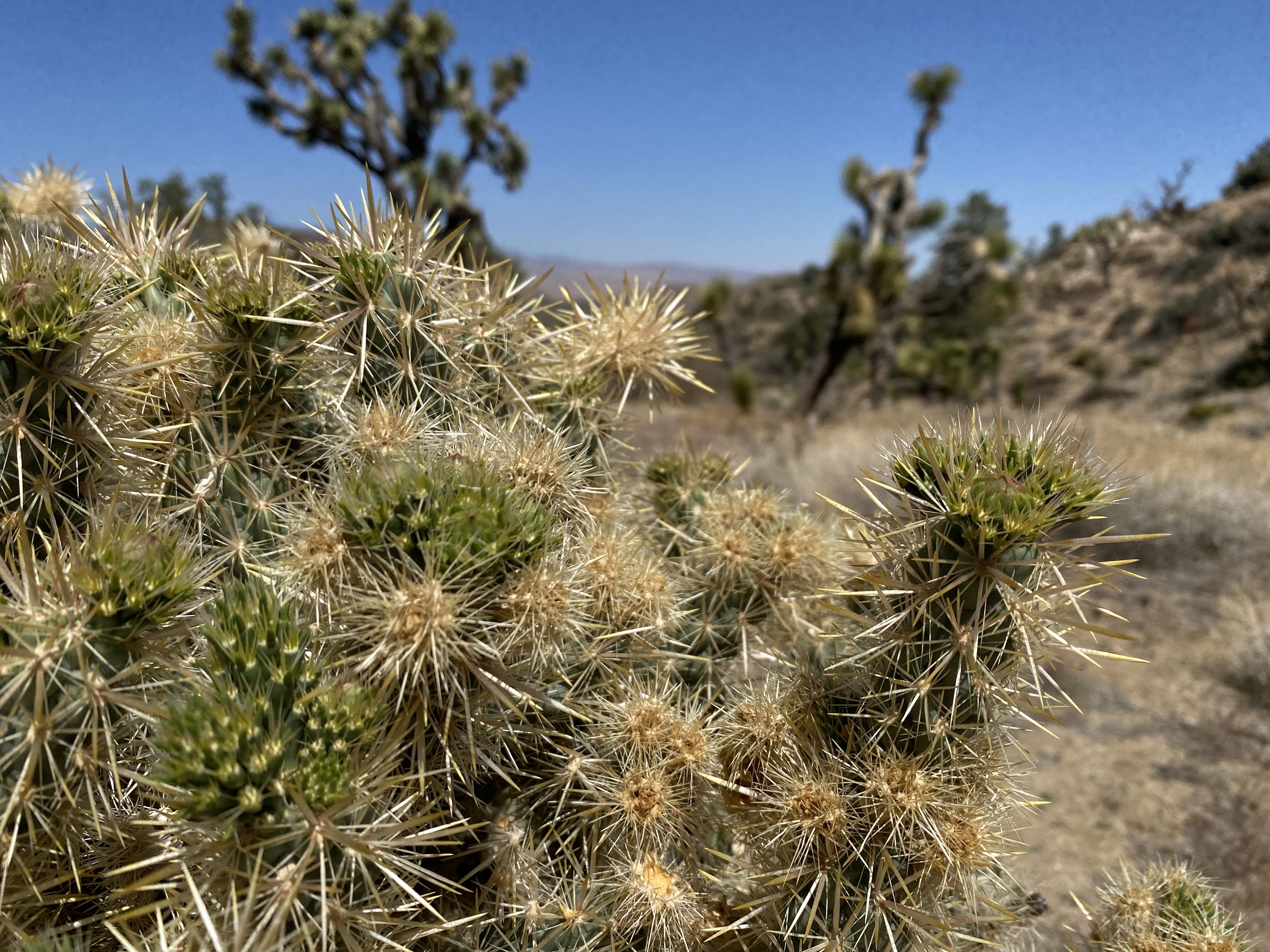
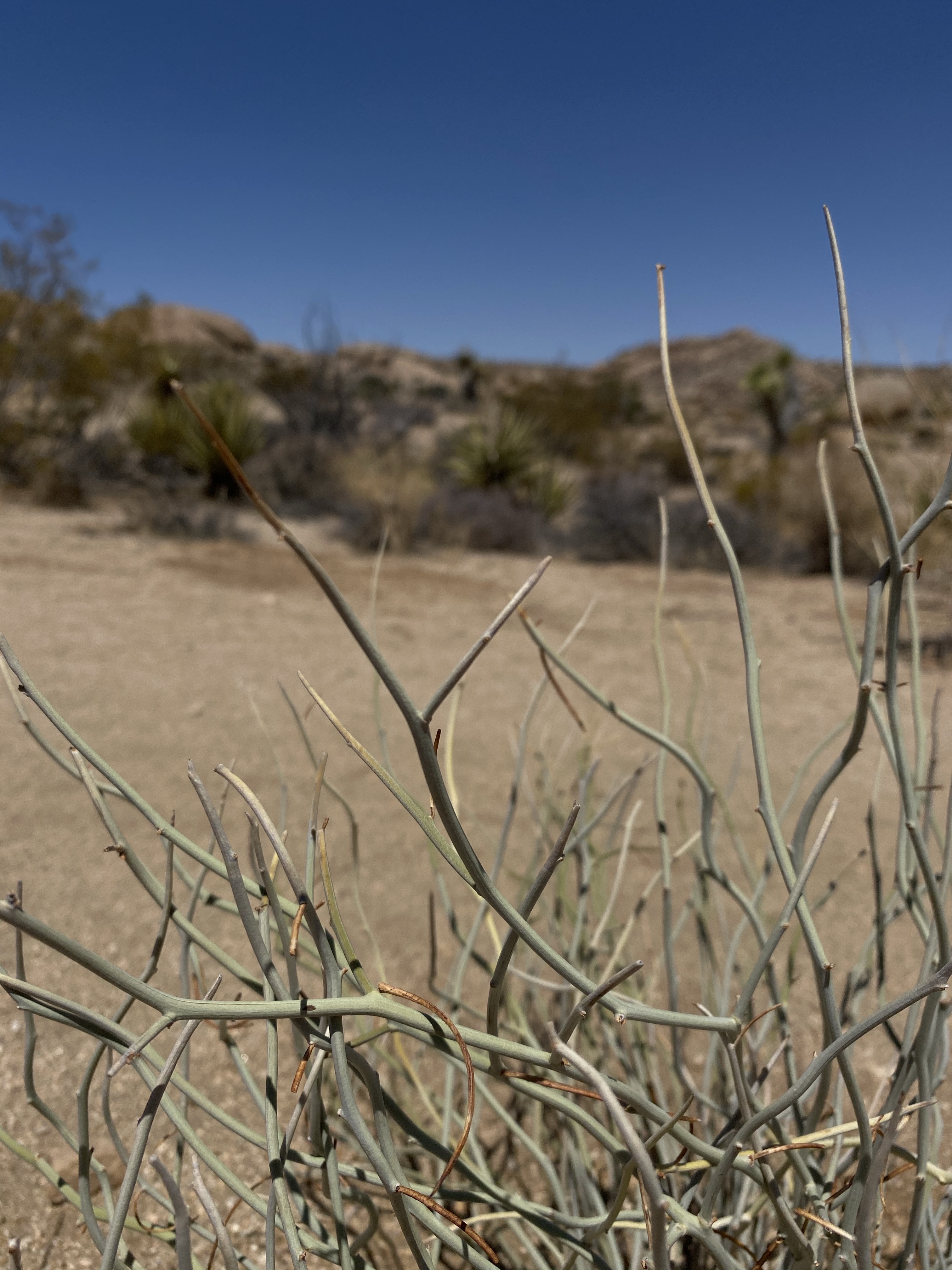
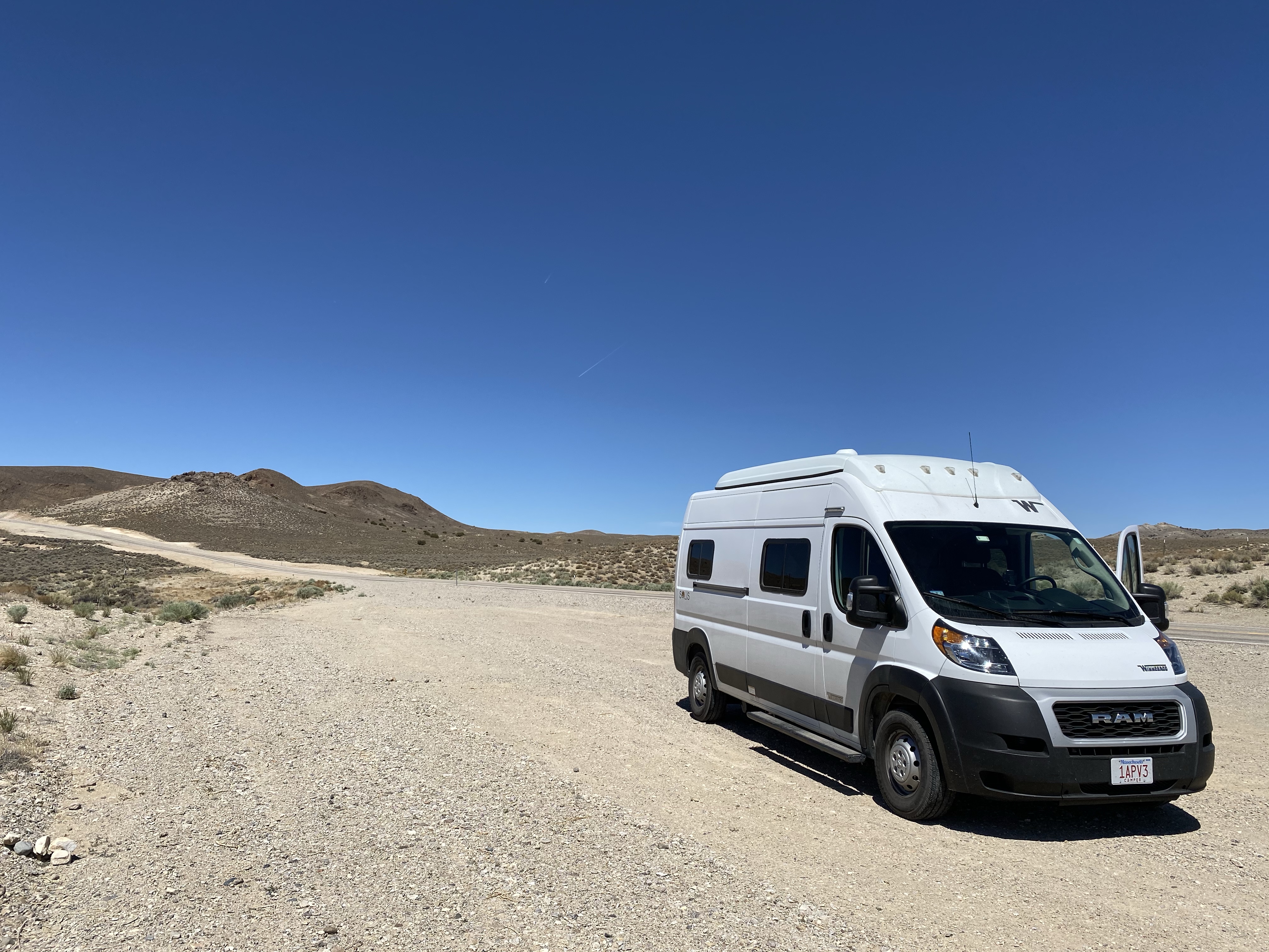
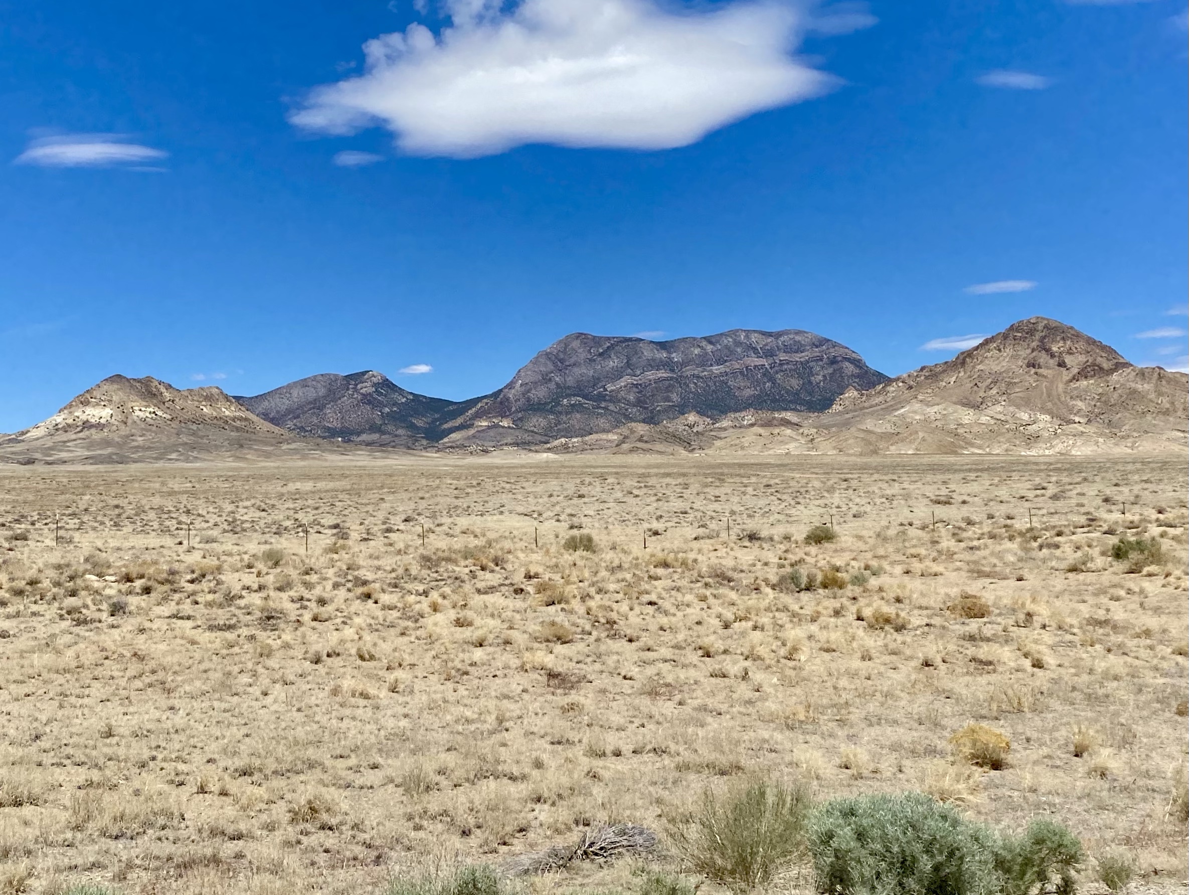
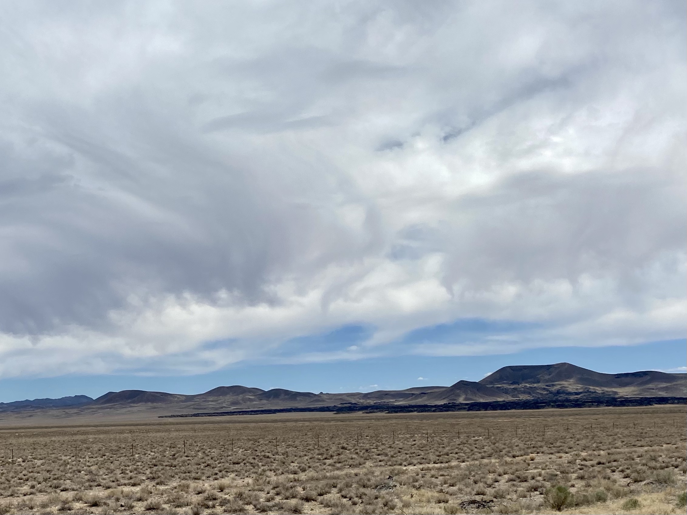
Route 6 brought my through Tonopah, a small town with a clown hotel, and across vast expanses of open land. The desert greeted me again, flat stretches of road through dry sage and brush. Gray greens, golden yellows, tan browns spread out all around. And abruptly stopped at the chocolate brown mountains that rose up in the distance, almost encircling me. It was far prettier drive than expected.

My mom kept me company on the phone, although the cell service kept dropping as I climbed hills and descending into valleys. It’s a good reminded that parts of our country are still remote, still undeveloped. Although it interrupted our conversation, it was also nice in a strange way to be disconnected momentarily. Luckily we did get to finish our chat.

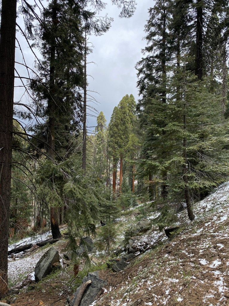
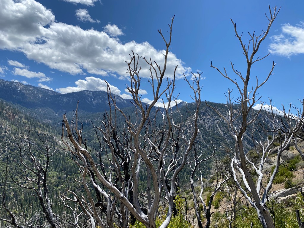
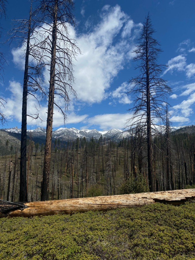
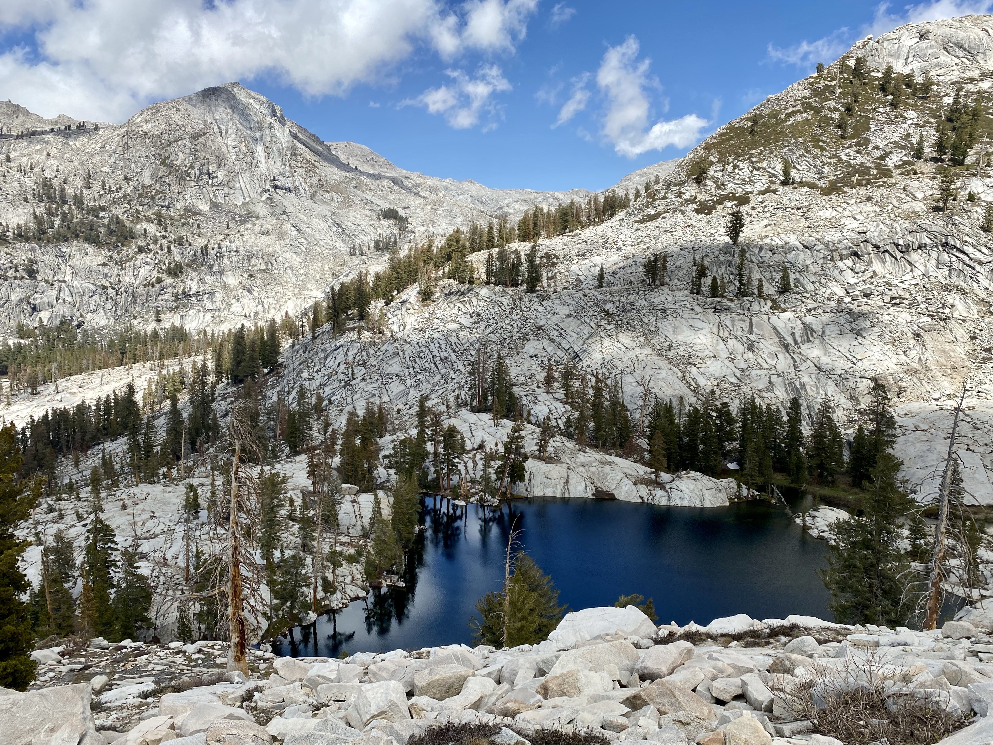
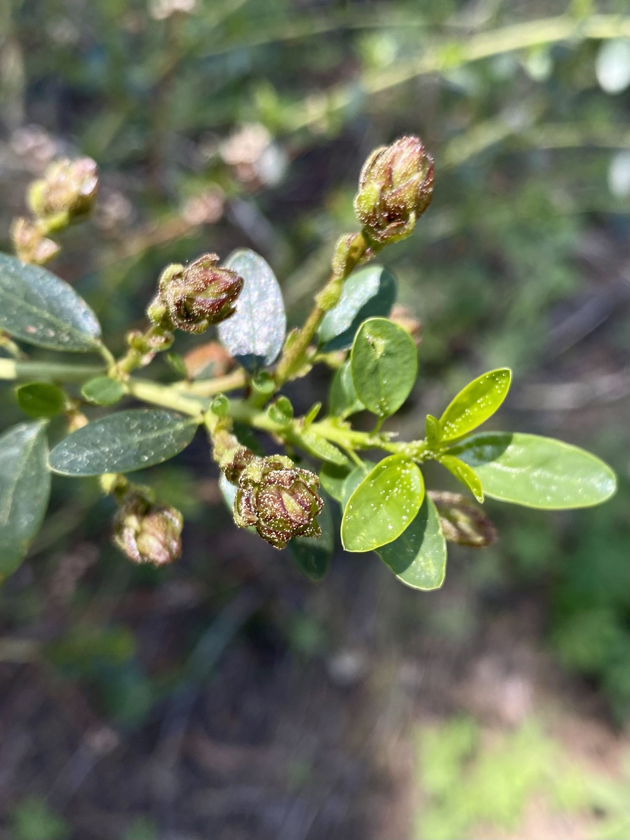
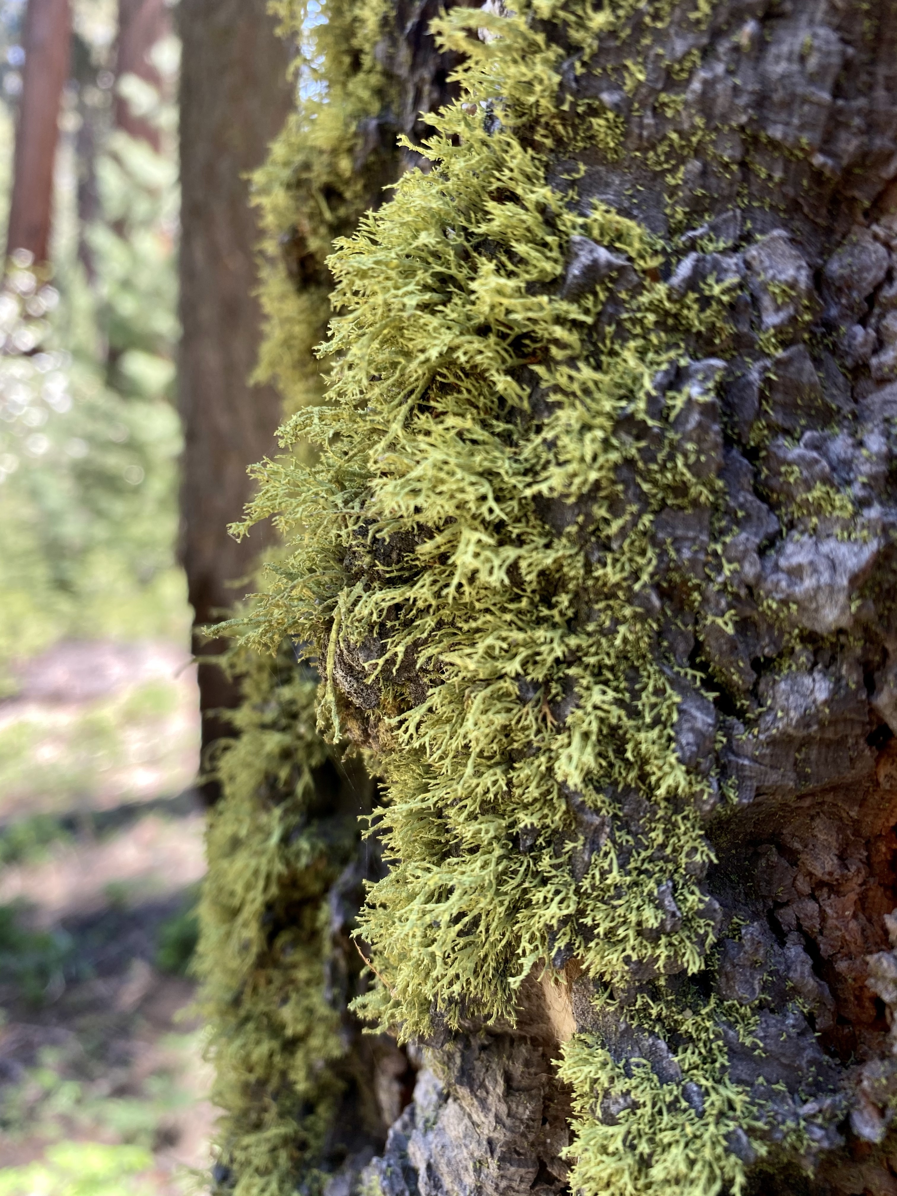
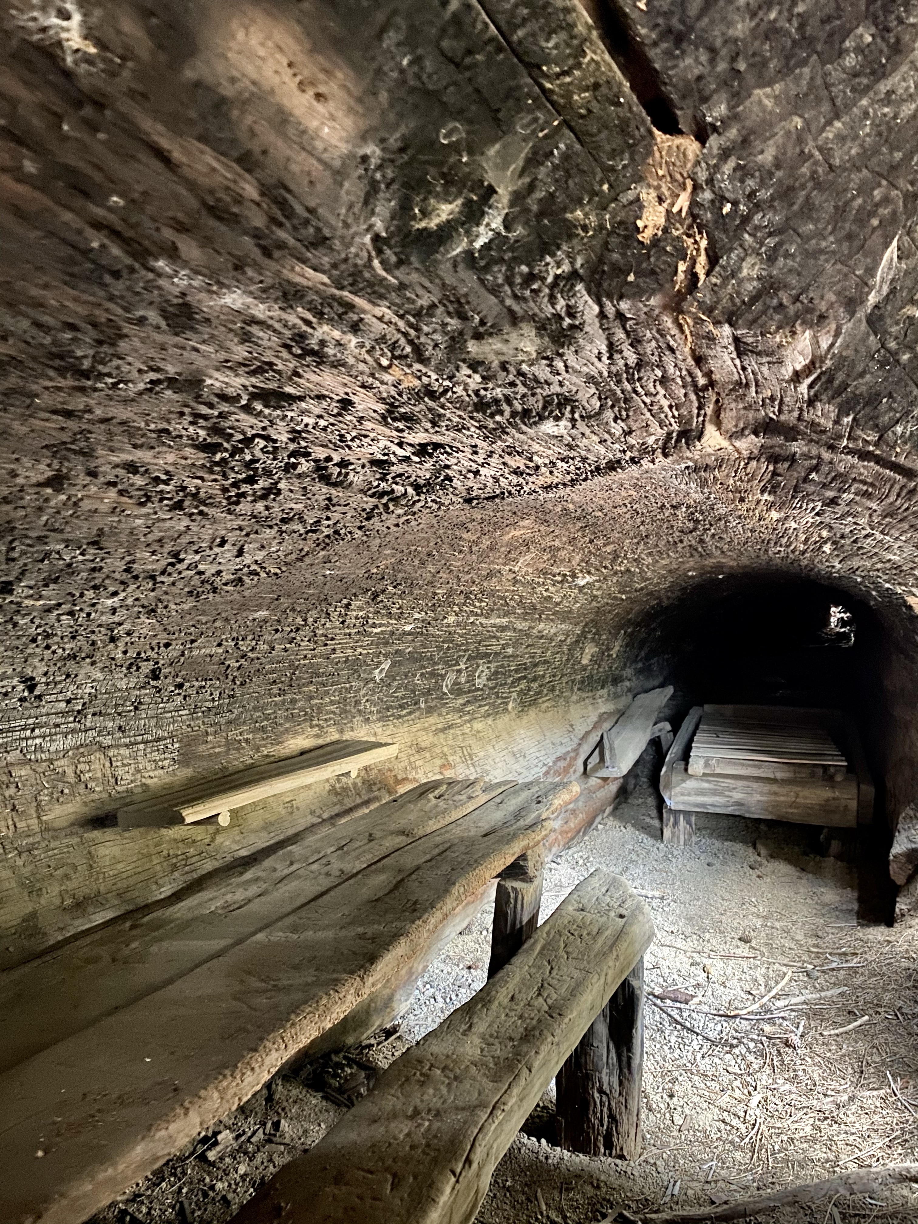
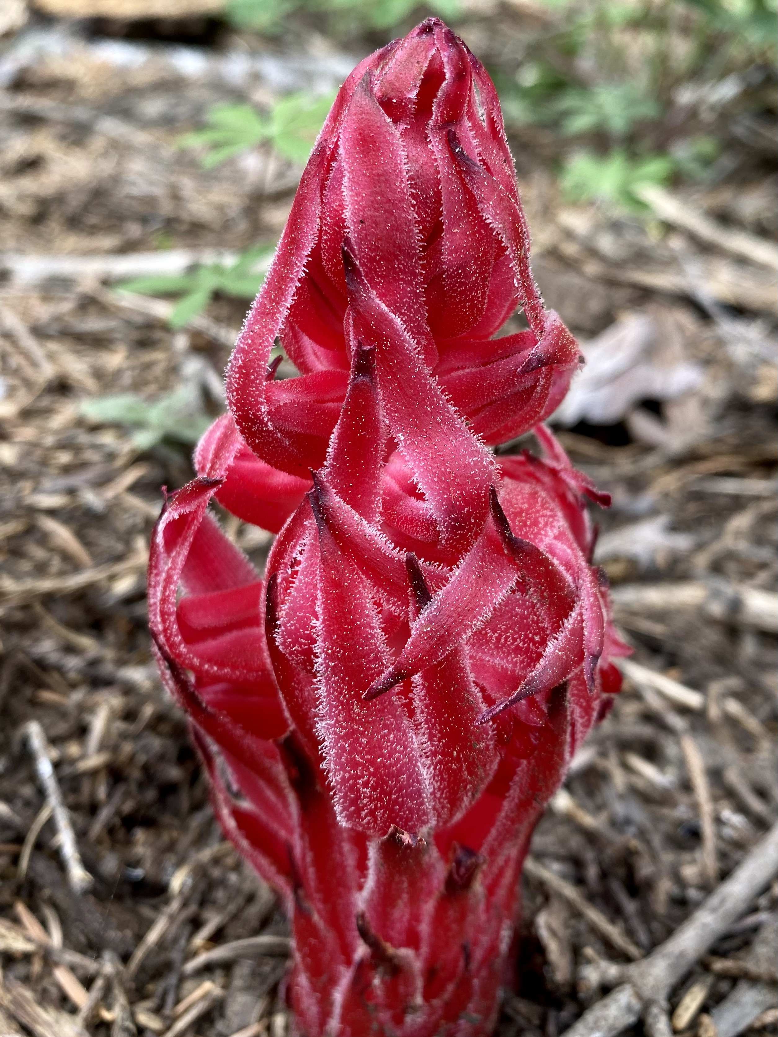
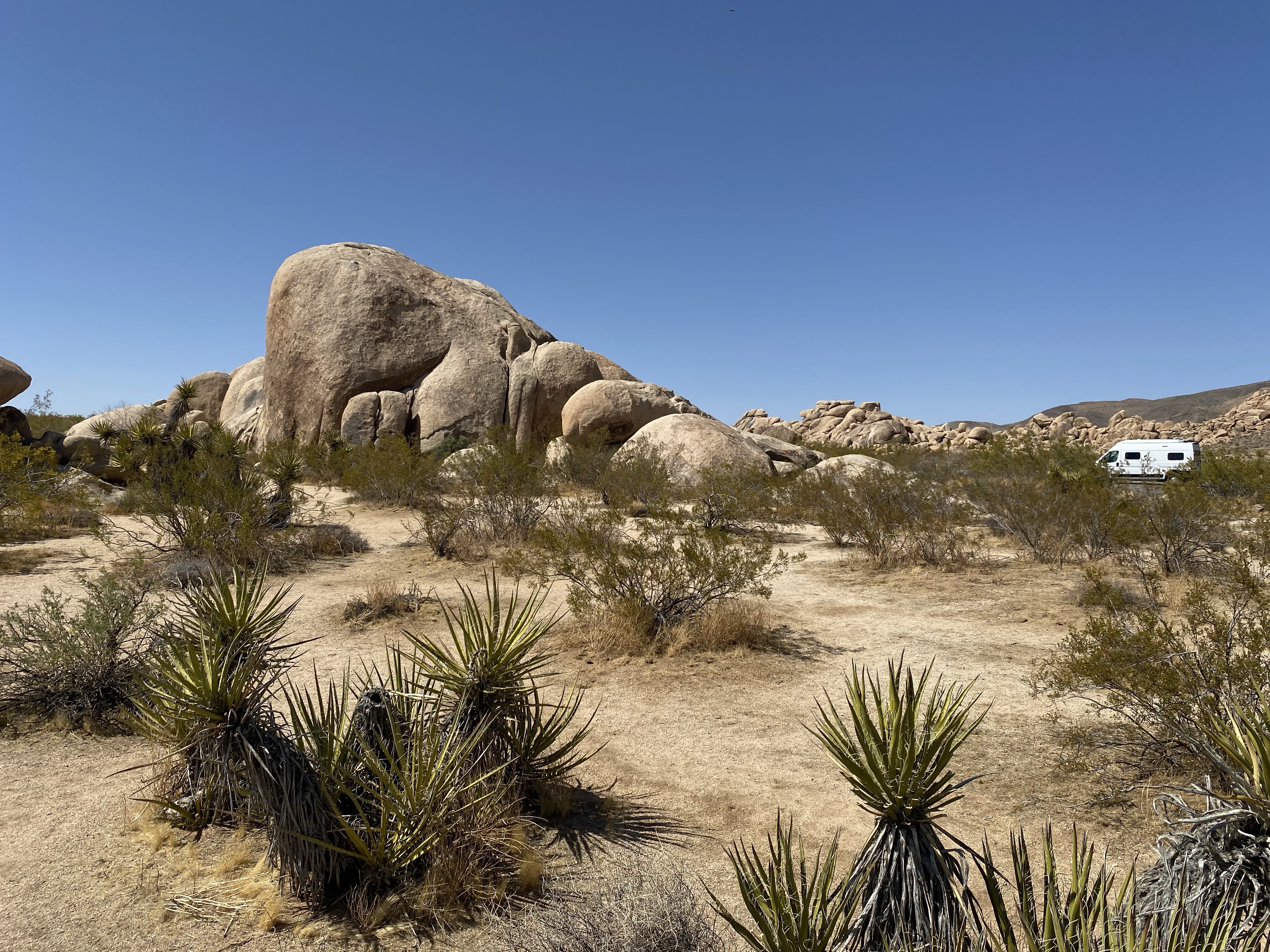
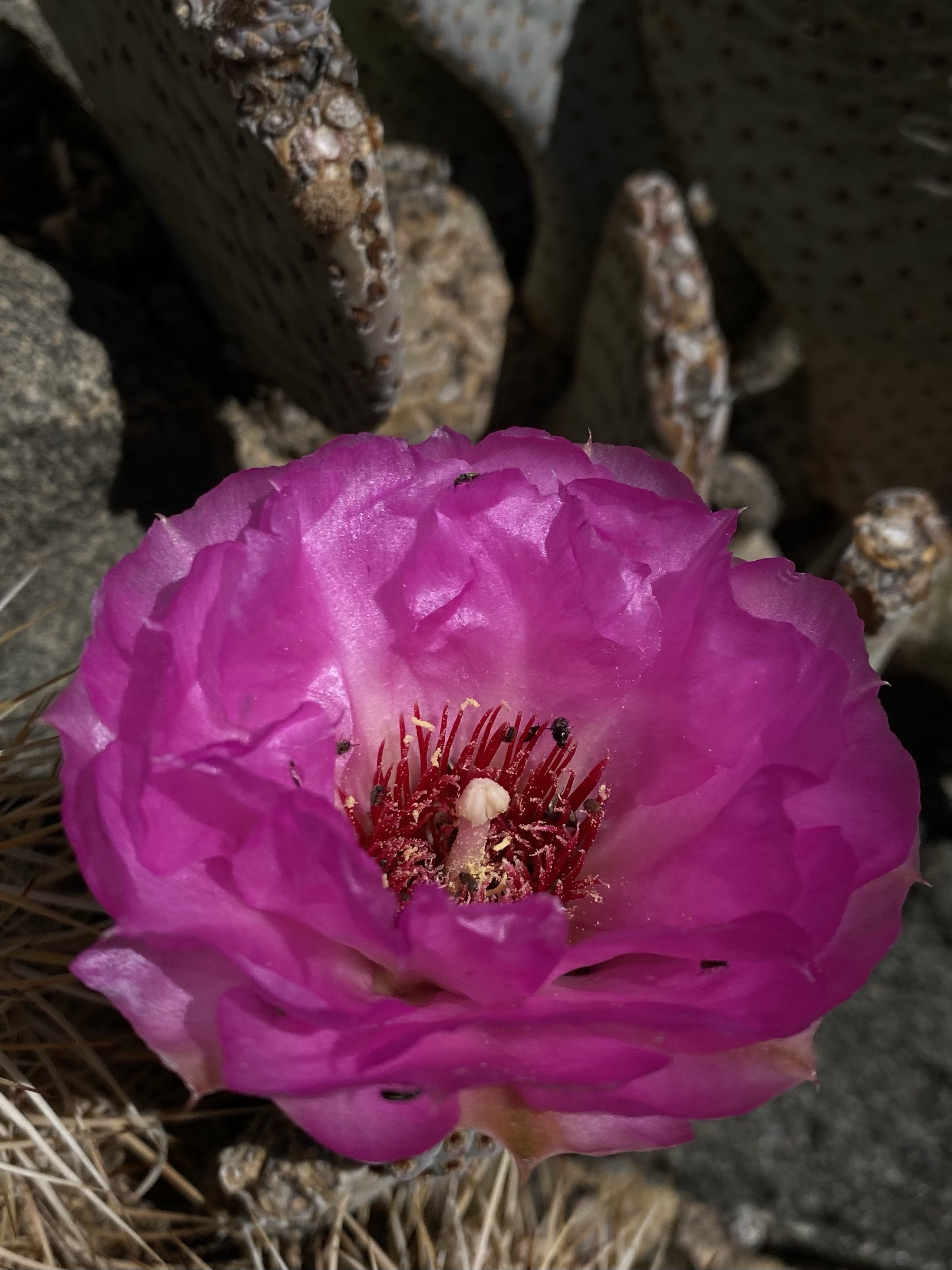
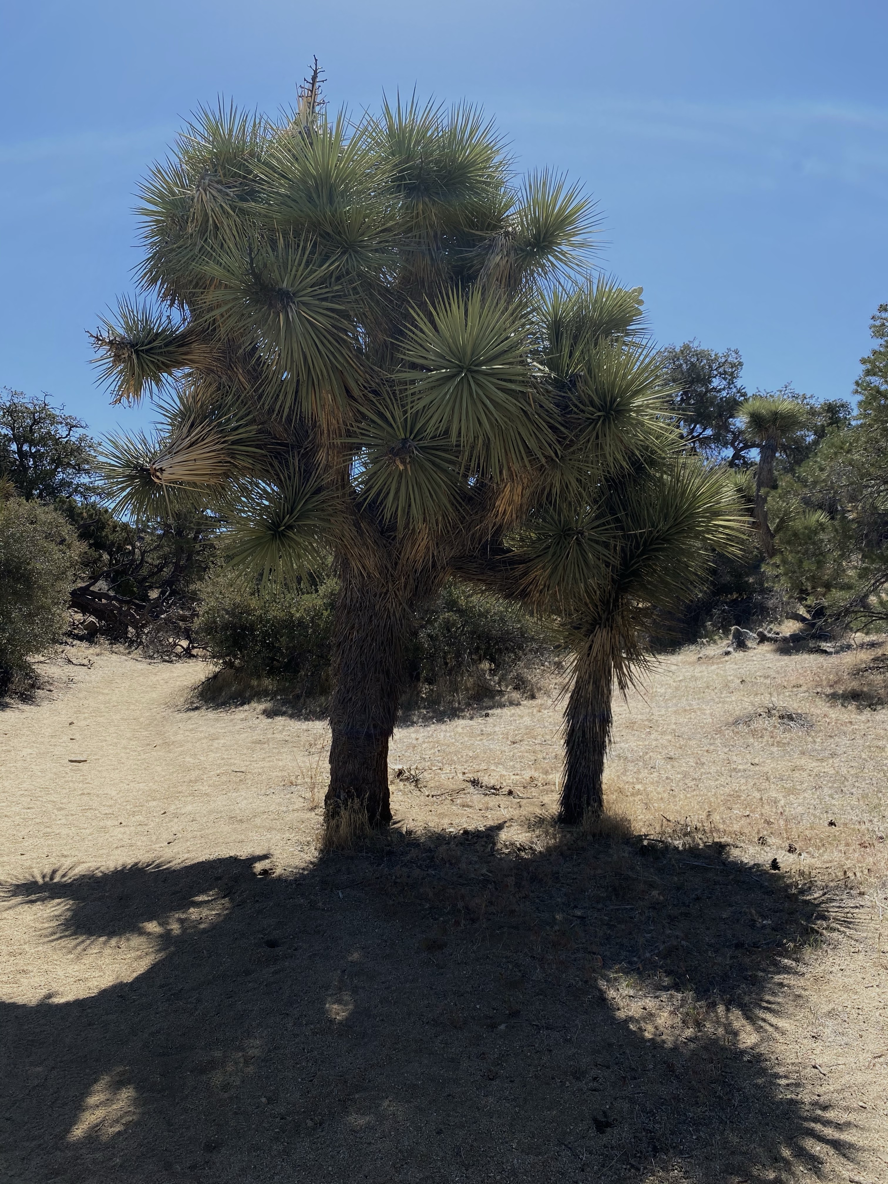
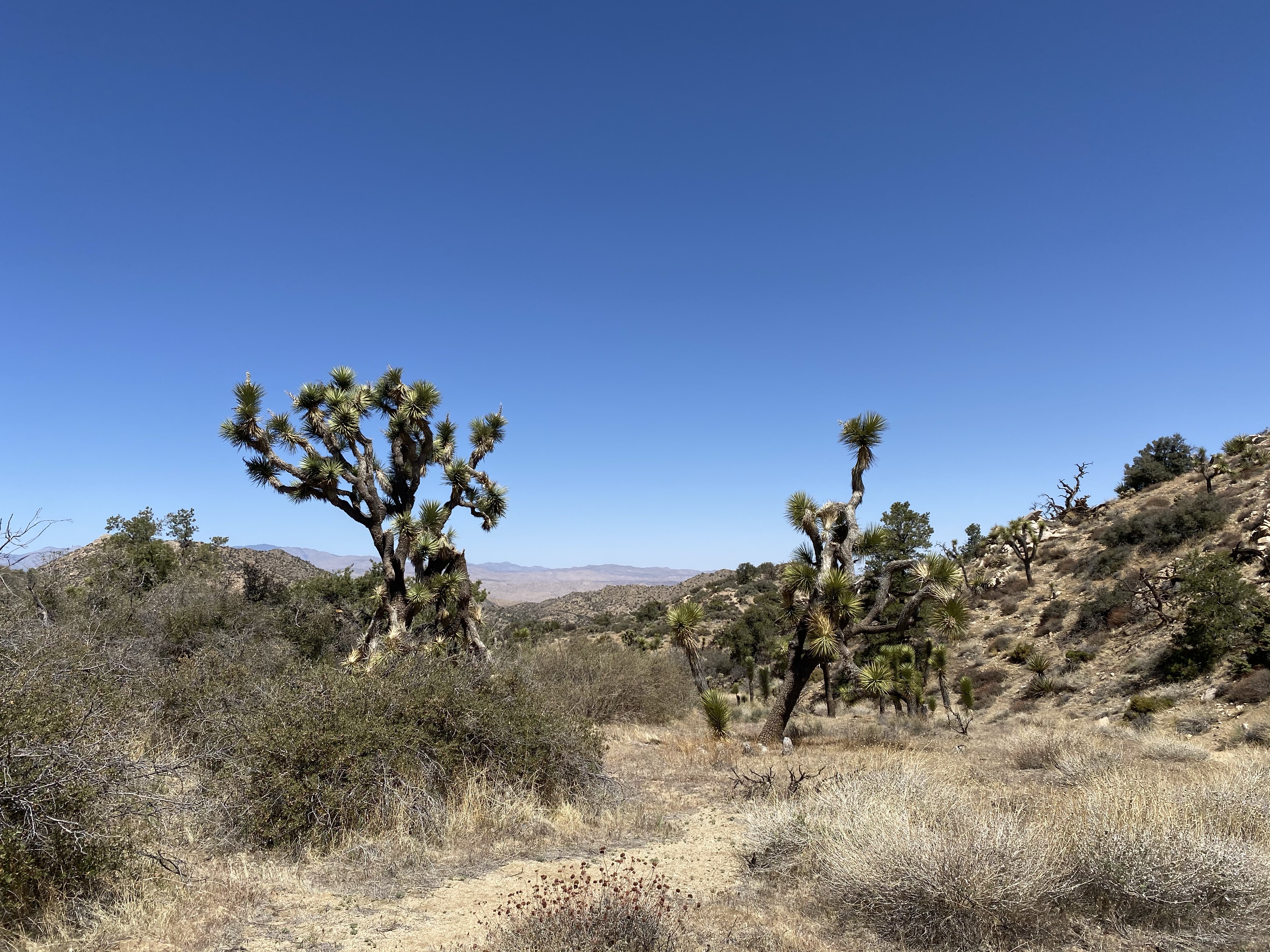
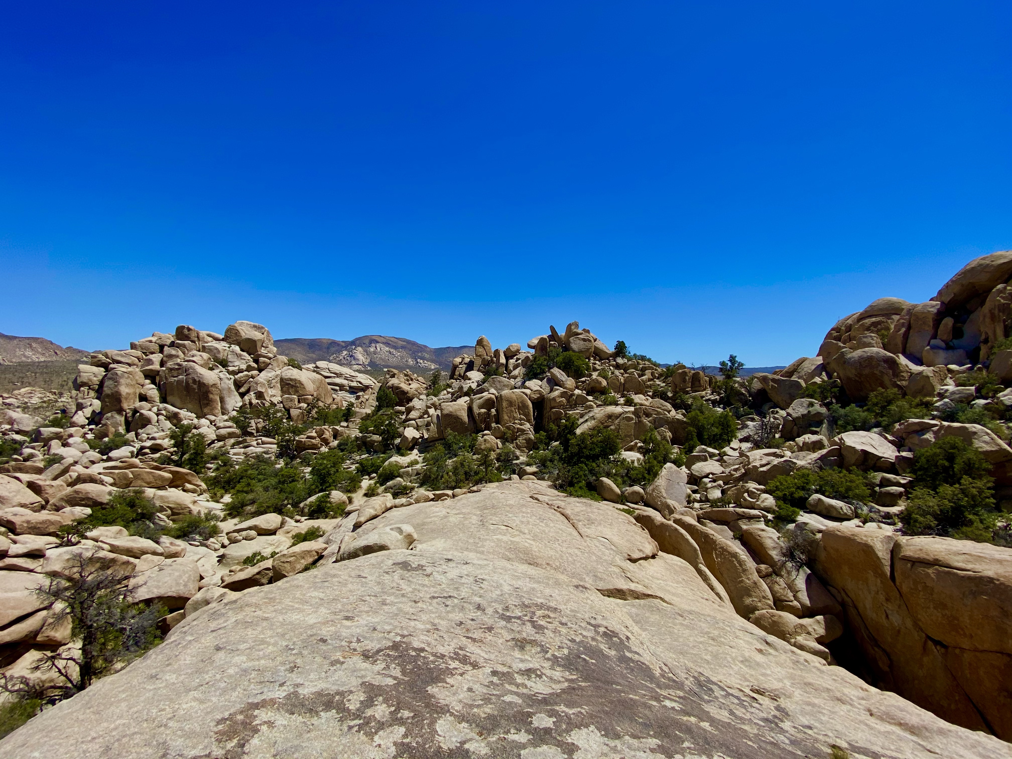
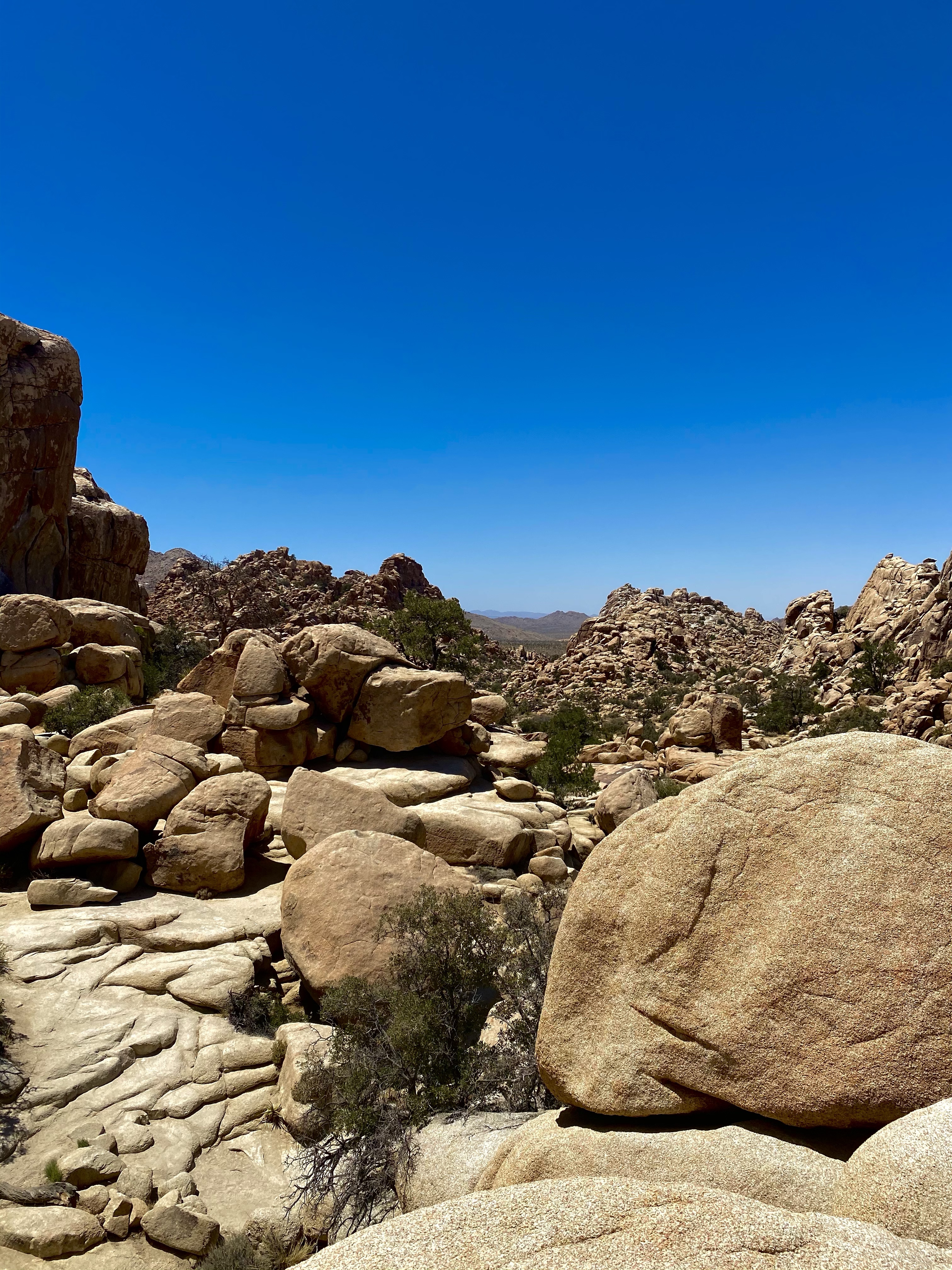
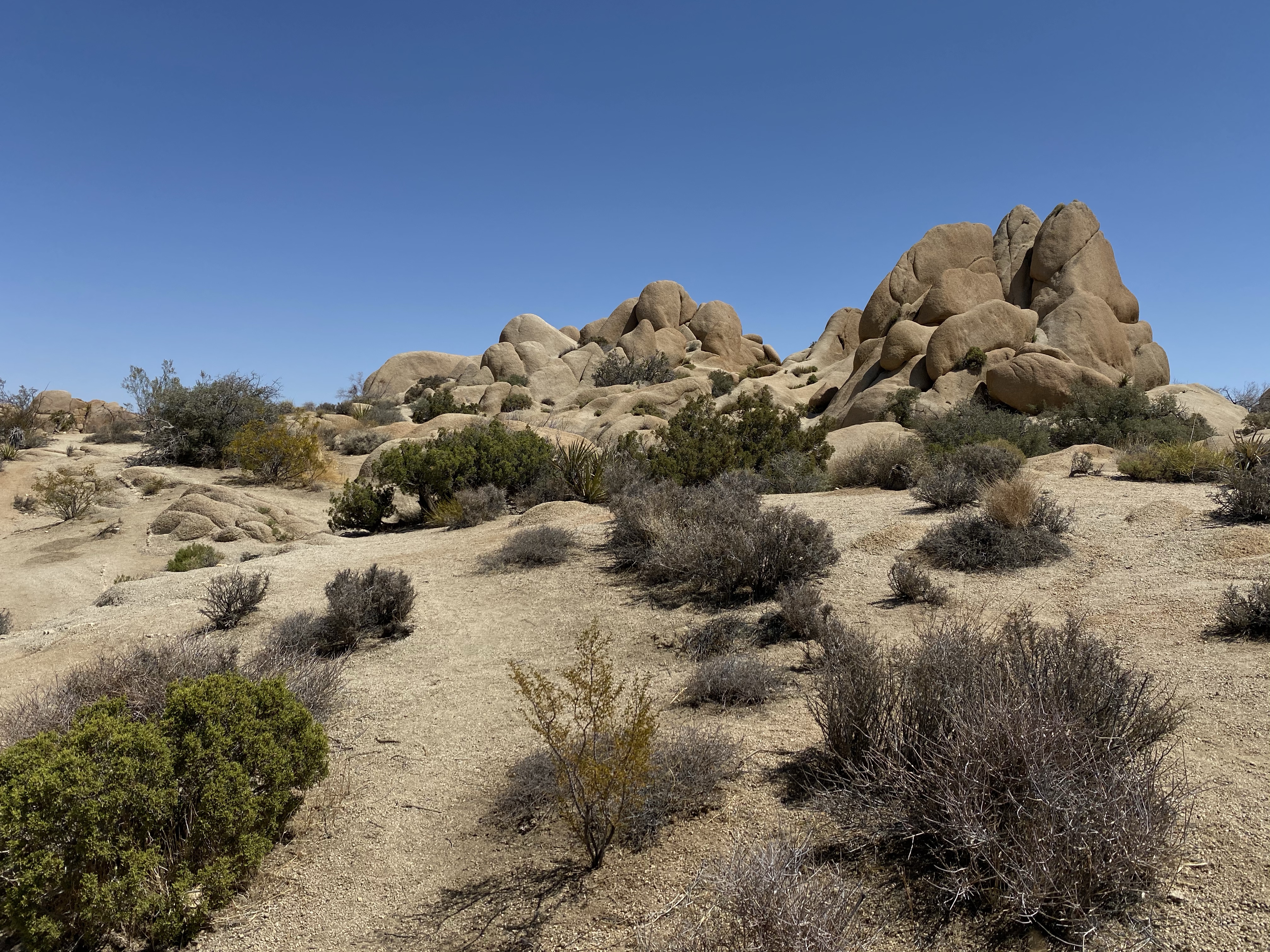
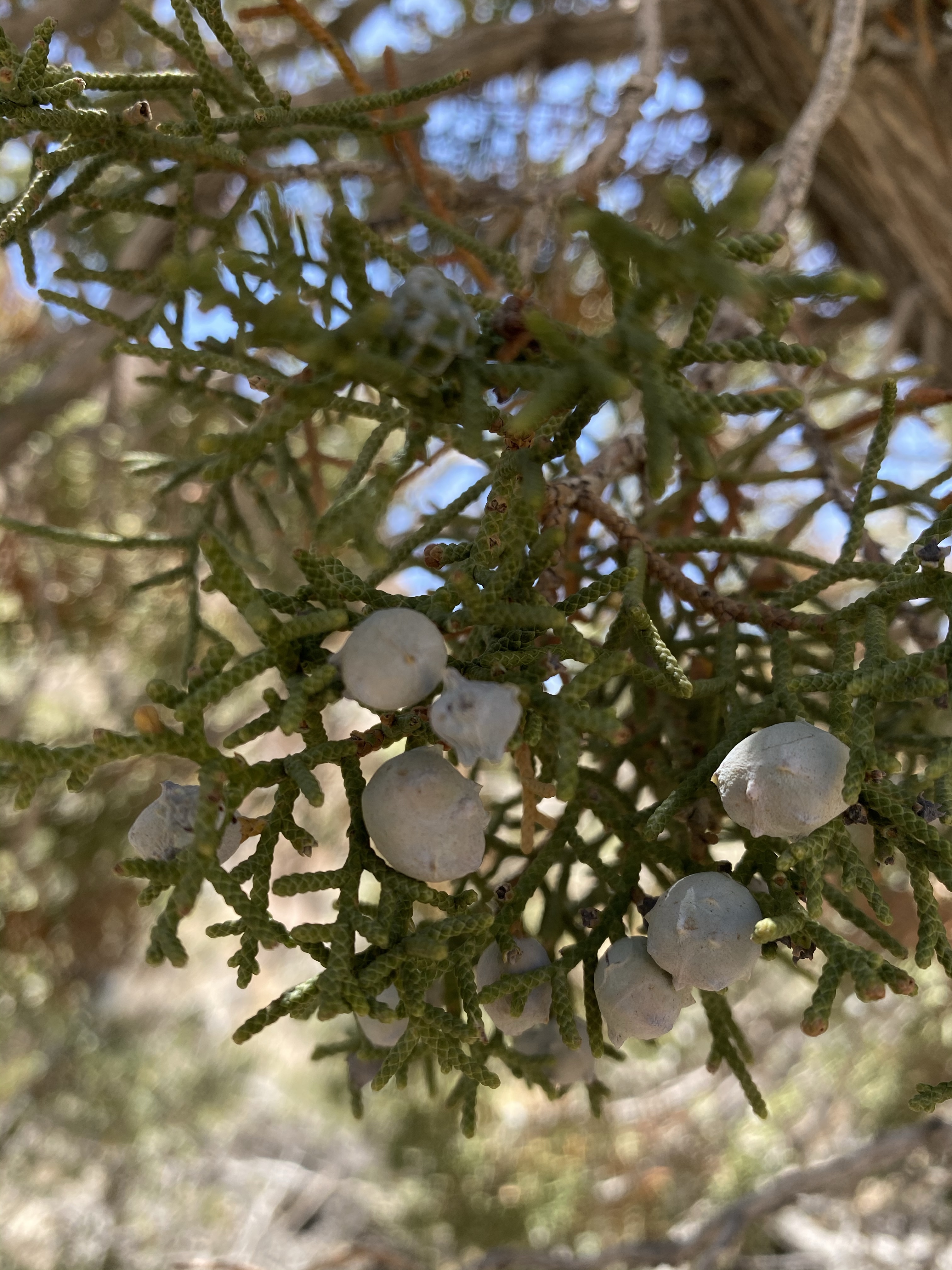
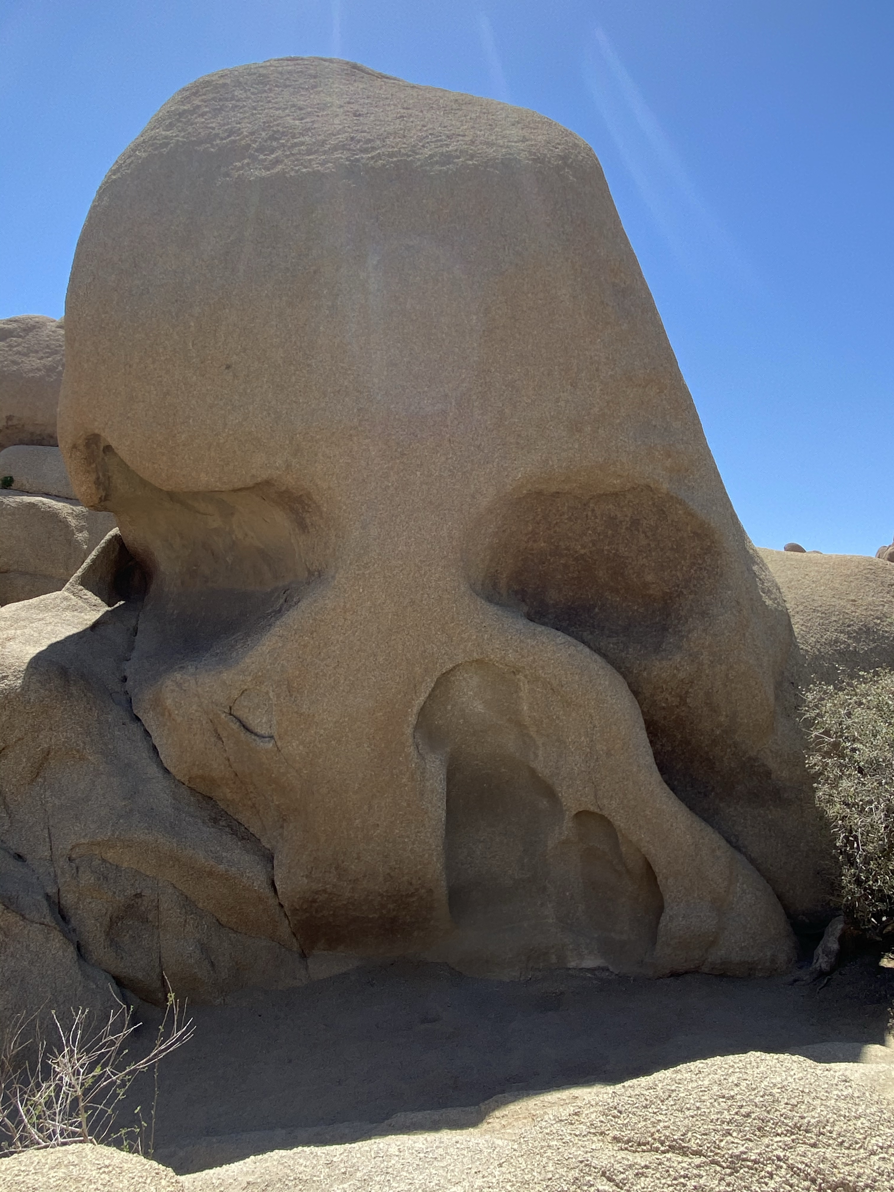
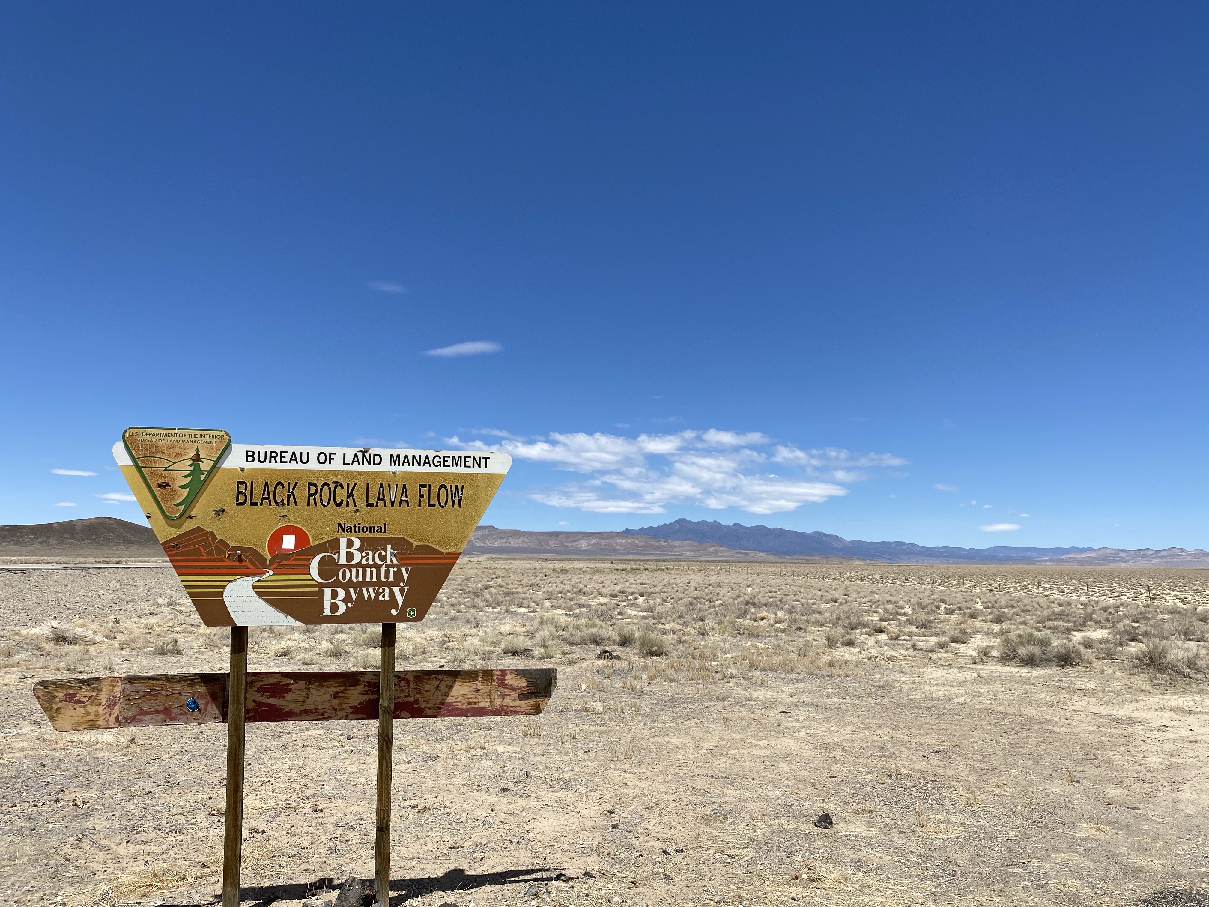
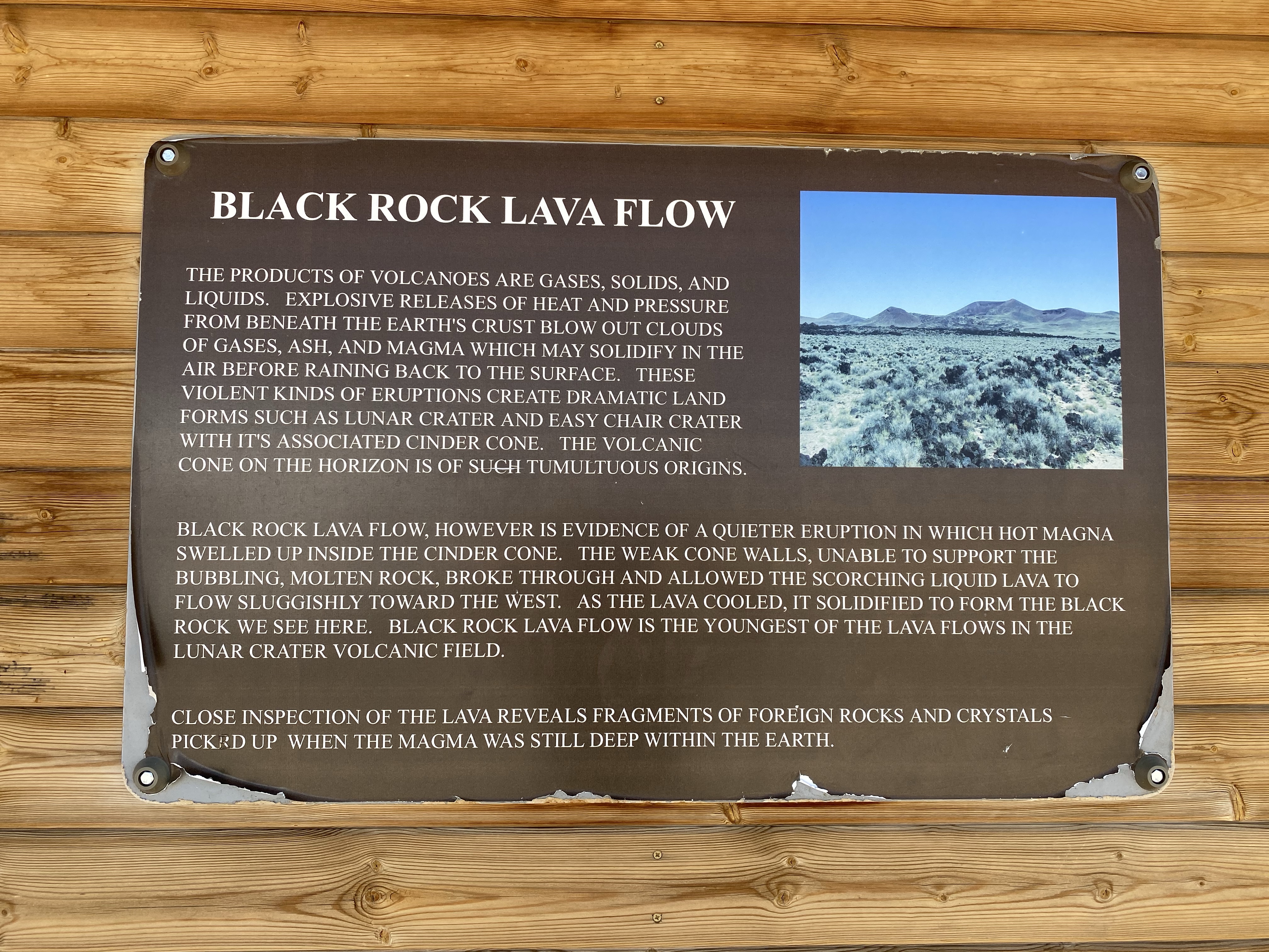
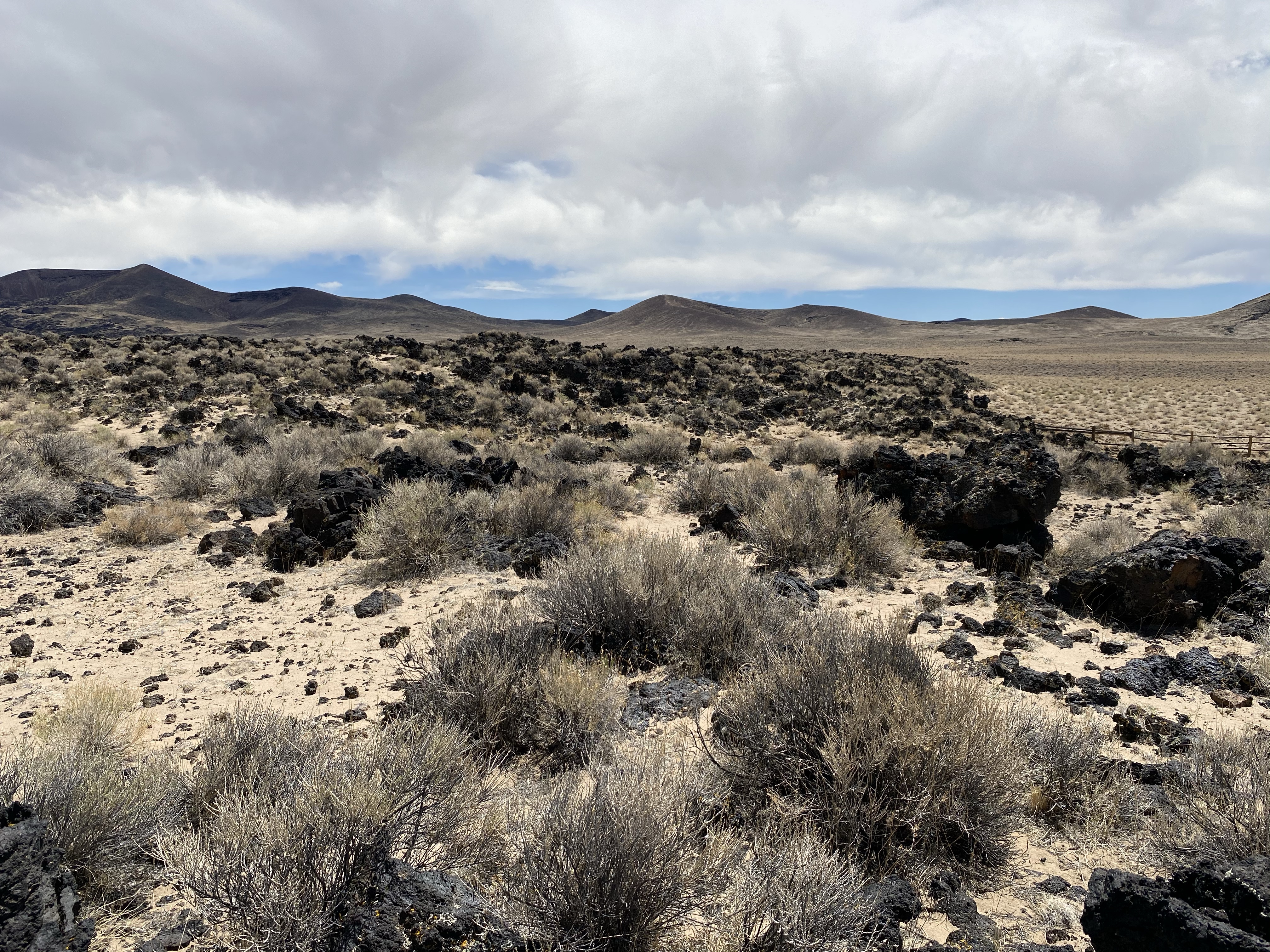
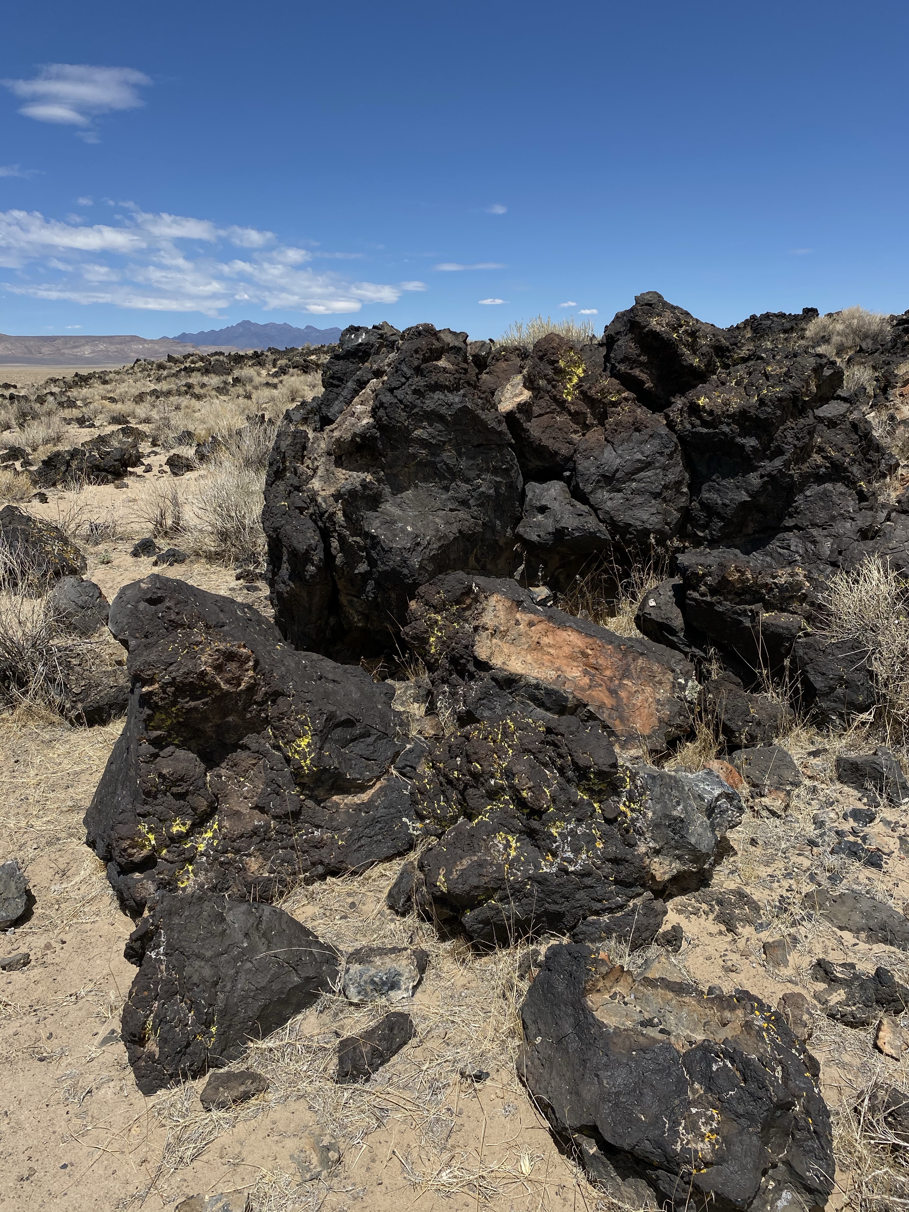
The drive was long though, over 300 miles to cover since I had stayed out for a few days. But I got out to stretch my legs along the way, Black Rock Lava Flow provided a cool place to walk around. There, in the middle of the desert, was a sea of black crumbly rock, remnants of past volcanic eruption. Now scattered and covered in lichen, you could still sense how it was once burning hot and flowing across the land. History is all around, you just have to have your sense open.

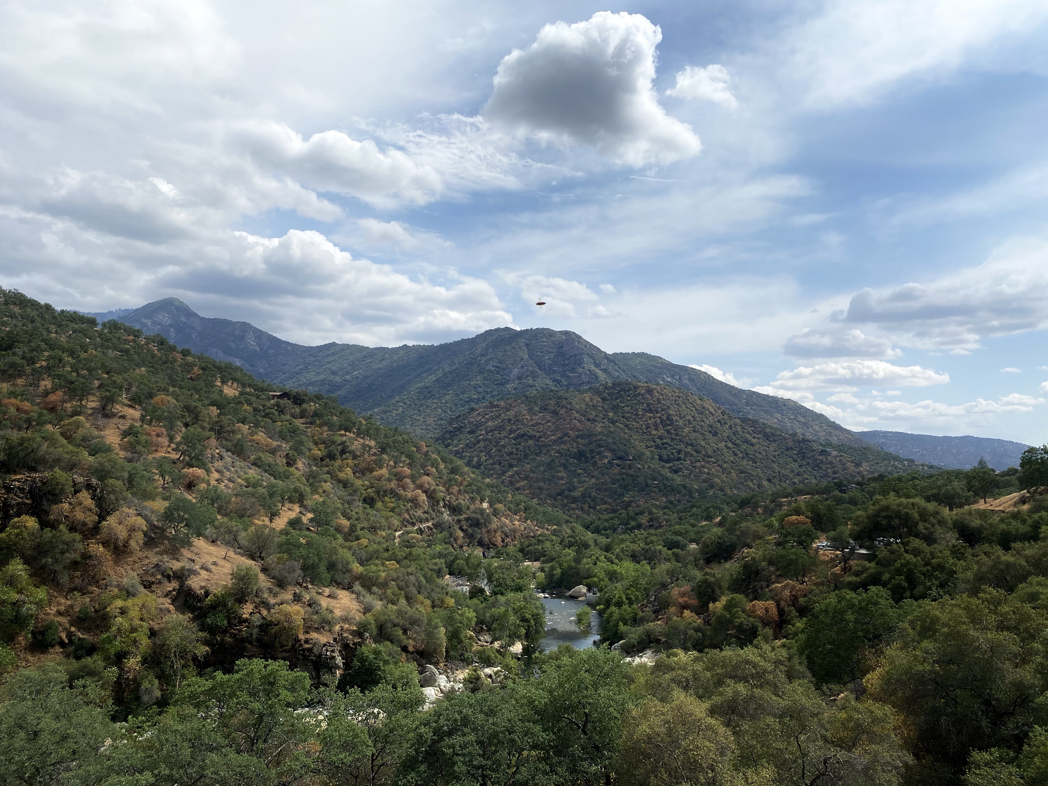
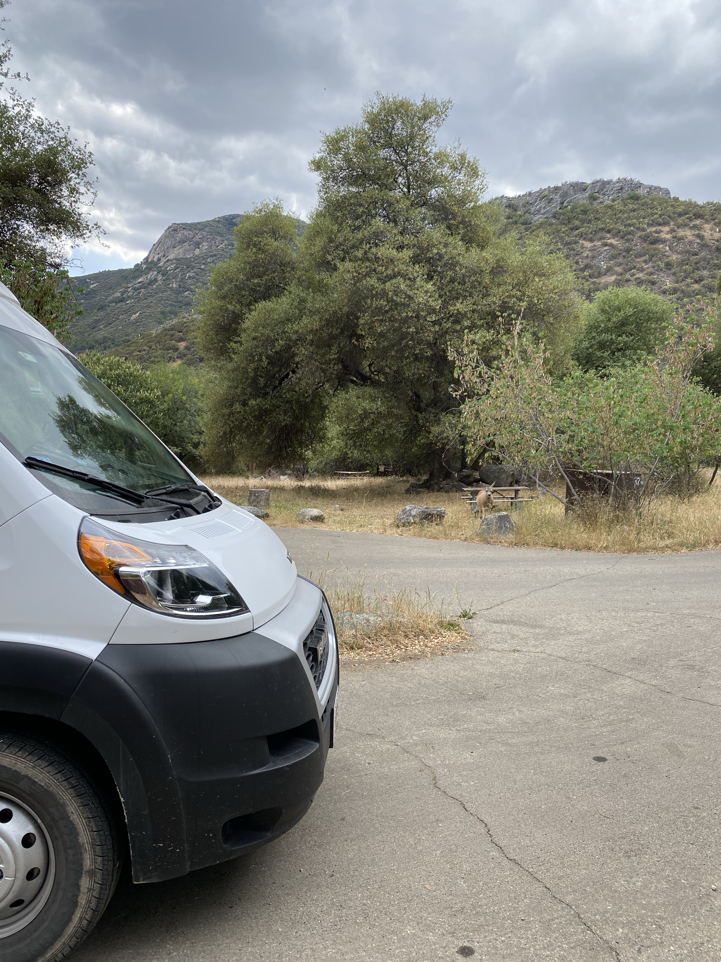
Later down the road I passed through Ely, and then into Baker, Nevada, where Great Basin National Park was located. I attempted to get hiking info, but tired from the hours of driving (although beautiful), I opted to find camping instead. Again, I practiced asking questions and earned myself the last spot at the campground right outside the park. The eyes and arms were thankful. Dinner, a shower, and bed. Tomorrow was another day for adventure.

Yosemite: Tioga Road

I had one more day on the day-pass reservation for Yosemite. What to do? I was growing weary of the long drive into the park, the early wake up, the crowds, and the smoke. The gray granite domes were amazing, the waterfalls spectacular, the forest beautiful, and I was having a hard time appreciating it all. I wanted to enjoy my last day, and make my next leg of my trip easier, so I decided to take advantage of the opening of Tioga Road.

Tioga Road stretches horizontally across Yosemite, traveling east to west across its northern edge. It’s opening each year is dependent on snow removal and I was fortunate enough to have it open on my final day in the park! Yes! So I woke up casually, cleaned up the campsite, and headed down into Yosemite Valley to join the pass. It was hot and hazy down below, so after a quick stop to dump my tanks and fill, I headed out.

Tioga Road quickly climbs the mountainside on the far side and temperatures became much more pleasant quickly. I wound up the mountain, only a few cars around, and enjoyed the treed view. A viewpoint called my name and I stopped to take one last look at Half Dome, nestled between two cliff walls. The bright shone shined down on the granite, which glowed a steel blue.

Down the road I continued, climbing higher and higher. Forest lined both sides of the road, making for a serene drive. As the elevation mounted, tiny patches of snow dotted the ground here and there. The rare clearing provided snow spotted peaks and uninhabited land for miles. Perfect. I paused for lunch at such a spot to relish the splendor of this part of Yosemite.

Farther down Tioga Road I was rewarded with another view of Half Dome, a pleasant surprise. This time just a tiny bump in the distance. To the left though lay Tenaya Lake, a sapphire blue gem among the mountains. I could barely make it out from my stop, so I headed down the road to enjoy it from it’s shore.

I parked and climbed down the the water, a log providing a lovely seat. The water was crystal clear, gently lapping at the sandy shore. A few kayakers enjoyed the calm water, but it was largely quiet. Father down the road I stopped again to get a full view of the lake. The sun glistened off the surface, dancing across the little waves. It was relaxing, just what I needed to reset.

As my journey across Tioga Rd continued, I entered alpine meadow. Green grasses spread across the valley, a fragile ecosystem providing much needed resources. Tuolomne Meadows stretched out as far as you could see, only stopping in the distance to accommodate the mountains rising skyward.

Eventually I exited the park, crossing over Tioga Pass at 9,943 feet high. It is the highest highway pass in California and in the Sierra Nevada. No wonder they have to wait until the end of May for the snow to melt! But just like that, I was out of Yosemite, heading down the highway towards Mammoth Lakes.

I was sad to see Yosemite disappear behind me as I drove away, but I know I’ll be back some day! Maybe next time I will be able to stay inside the park and experience it in a new way. Perhaps next time I’ll climb Half Dome! It is possible!

Yosemite: The Views

Another day of rising early and I was off to Glacier Point for the views and hiking. I have to admit, after the climbing yesterday, I was tired. Not sure what I had in me for this day.

The drive to Glacier Point, like all drives into Yosemite, was long and windy. I didn’t have to go into the valley, but instead turned right about halfway there to ascend up to my destination. As Sunny and I climbed up the mountain, the temperature dropped but the sun kept rising. The road was narrow but quiet and some snow greeted me on the sides of the roads, protected from melting by the trees. As I approached the lookout, the road became skinnier, if that was even possible, and circled down around the forest. Then I had arrived.

Many hikers and observers were camped out in the parking lot, eating breakfast after watching the sunrise over Half Dome. I had thought about that, but waking up at 4:00AM was just not going to happen. Oh well!

It was a chilly 46 degrees, so I put on my jacket and walked over to the viewing area. Although the air was cold, the sun was fierce and I made a mental note to delayer before heading out on my hike. The walk to see Half Dome and the valley below was short but rewarding. Before me the profile of the granite beauty stood tall and proud, surrounded by smaller pointed peaks. To the left were Vernal and Nevada Fall, looking tiny and dainty from so far away. And to the right was Yosemite Falls, the longest waterfall. The glaring sun made it difficult to capture their beauty, but I sure did try.

Wanting to linger but aware that the smoke from the valley would soon be rising, I continued on. Sentinel Dome, and maybe Tafts Point, were ahead of me with more spectacular views to admire. So off I went, after tossing the jacket in the car, up the wooded switchbacks to the dome.

The climb was tough, my legs tired from yesterday’s trek. I pushed onward though, knowing the distance was short. I told myself if the views from Sentinel were splendid, then I’d stop and return to the van. Sounded like a fair deal.

And the views did not disappoint. After the steep climb up the rock slope of Sentinel Dome, I had a clear 360 view of Yosemite. Half Dome off to my right, unobstructed by any trees or people. And Yosemite Falls again, right before me. The top of Sentinel Dome was pretty quiet, not many hikers on the trails yet, so I found a rock to sit on and stared away at the water cascading straight down the rock wall. Even from so far away it’s power was obvious. The white mist and splash were visible. Here is sat, mesmerized for nearly 45 minutes, knowing this was my hike for the day.

When the crowds did start to arrive, I slowly headed off, down the trail a bit to a quiet spot where Half Dome was still clear. I enjoyed the quiet and snapped a few more photos. I had a good subject.

Then down I went, content with my decision not to hike to Tafts Point. A while down the trail I found another good rock to sit on and settled in to enjoy some more Half Dome. It was quiet and calm, so I ate my snack and made a phone call. Then, the chainsaw started up. And roar it did, on and off, at it ate through a dead tree trunk. So much for peace and quiet! Soon, crash! Down fell the tree not more than 200 feet away. Uh oh! I worried I was in a bad spot, but a trail worker soon appeared and reassured me this was the only tree they were chopping. I’d be fine to continue lingering, it would be quiet again soon. And she was right.

After several more moments of soaking up the scenery, I headed back to Sunny. In the quiet of the van I called a friend and my mom and watched the parking lot fill up with visitors. By the time I left, it was packed and there was a long bathroom line. Yikes!

On my way out, I stopped at the Visitors Center to check if Tioga Road was opening tomorrow. I hoped it was. The road cuts west to east across Yosemite, through alpine meadows and the Tioga Pass, and would save me hours on the next part of my journey. Thankfully it was opening the ranger reassured me, all snow removed and maintenance complete. Yes! We chatted for a while about my options, should I travel to Hetchy Hetch too? Ultimately I decided that was too much driving to enjoy and I would just drive straight across.

Back at the campsite I made tentative plans for my next few days, ate dinner, and went to bed early. Those sunrise wake ups and hour plus drives were wearing me out! Honestly, it made it a little hard to enjoy Yosemite, but I was doing my best to be grateful. One more day in this wonderful park tomorrow! But I’ll certainly be back for more someday.

Yosemite: All the Hikes

I left Kings Canyon, sadly, early in the morning to drive over to my next national park, Yosemite. I was looking forward to the granite domes, waterfalls, and meadows, but I was also sad to leave the special place that is Kings Canyon. Visiting here was a special treat.

On my way over, errands had to be done. Dump the tanks, fill up on water, stop at Camping World for propane and supplies, groceries. Yosemite happens to be near Fresno, so it made most of these activities convenient. I even had the pleasure and privilege of shopping at Whole Foods, a place I hadn’t seen in months. I stocked up on lots of goodies, including chocolate. Yum!

With chores done, I continued on to Fish Camp, California, where the southern entrance of Yosemite resides. I had been warned that Yosemite is a busy park, desirable to many because of its hiking, rock climbing, and proximity to cities. I had to make a day-visit reservation so I could even enter the park during my time there, so I thought I was prepared. However, then I drove around the corner, approaching the entrance station, and got stuck in a car line for nearly 45 minutes. Ugh! Thankfully all I wanted to do that afternoon was grab maps and talk to a ranger about hiking. So I not so patiently waited, finally got in, parked, gathered my information, got gas, and went out to my campsite to lay down. Tomorrow was another day.

My first full day in Yosemite, I rose at 5:30 and left the campground by 6:30 to try to beat the crowds! The sun was already up, warming me on the brisk morning. I sailed easily into the park, self-registered, and continued down the road to Yosemite Valley. Vernal Falls and Nevada Falls were waiting for me!

The road into Yosemite Valley is nearly 30 miles up and around and down and up and around and down the mountainside. It was a slow journey, full of splendid forest views. As I approached the final descent into the valley (nearly an hour later), haze confronted me. At first I wasn’t sure if it was fog rising as the temperatures increased, or smoke, but then the smell hit me. Definitely smoke. I became worried that I had missed an important memo. Smoke was flowing down the valley, climbing up the mountain walls, growing thicker as I drove in. Finally I saw signs about controlled burning, and relaxed that I wasn’t driving into a danger zone.

It was eery driving through the smoke, headlights on, speed lowered. Along the side of the road logs simmered and tree trunks blazed with flames. Smoke rose up and twirled around. It felt like I shouldn’t be there. Fire crews were around though and the valley was open. Although I knew this was important, and prevented larger, uncontrolled fires, to see a prescribed burn in action was unsettling. A strange experience indeed.

Soon I was past this area, into the heart of Yosemite Valley, and surrounded by people and cars. More human activity in one space then I had interacted with since Medway Marches almost a year ago. I felt a little uneasy, but reminded myself I am vaccinated, outside, and will socially distance. I was also a bit disappointed. I had been spoiled by all my quiet, sparsely populated hikes and parks so far. I was grateful to be here, and going to enjoy myself, and I did not like the crowds. If this was 7:45AM, I dreaded knowing what later morning and early afternoon would look like. Yikes! Nevertheless, I had come for a hike and a hike I was going to do. With pack packed, I headed down the bike path to the trailhead.

Vernal Falls was the first destination, a couple miles down the trail. Paved and wide, the route looked easy at first but quickly became to climb. And climb it continued to the bridge at the base of the falls. Several weeks of hiking at high elevation had prepared me well, but my heart was still beating fast!

I paused briefly at the bridge to catch a glimpse of the falls from below, and then continued on as the path changed to earth and rocks. As the path approached the fall, it became a series of stairs paralleling Vernal Falls, wet from the mist generated by the force of falling water. I took the steps one at a time, using the railing for support, and was sprinkled on the entire time. Mist dotted my sunglasses, covered my camera, and soaked my shirt. It was a welcome wet though to counteract the heat from the climb.

Halfway up the falls I lingered, capturing photos and admiring the sheer volume of water cascading over the lip above. A rainbow glimmered below, the mist and sun interacting to create magical color.

Continuing on, more steps confronted me, practically climbing straight up. So on we went, a few steps at a time, lots of pauses. Then across the fenced ledge, a few more steps, and then the top of Vernal Falls was ahead of me. A sloping smooth rock surface led up the the falls, the river ran down the far side, and then crashed over the edge. Water plummeted down nearly 300 feet.

There were many people around, but it wasn’t overly crowded. It was still fairly early in the morning. Not wanting to wait around for the crowds, I ate my snack and headed on down the trail to Nevada Falls. As soon as I left, about half the crowd disappeared. I think one climb was enough for most people. Not me!

The climb to Nevada Falls was equally strenuous after the short traverse through the forest. Stairs twisted and turned up the side of the falls, all the way to the tippy top. I quickly glanced at the falls from the bottom, then headed up, again pausing often. I told myself the breaks were for photos, but really they were for me. My legs were shaking!

On the way up I played cat and mouse with several groups. I would pass them, then they would catch up and pass me as I rested. Then inevitably I’d pass them a little while later as they rested. Nobody seemed to mind. Friendly hellos and chitchat exchanged, no sense of rush or competition.

Eventually the summit was ahead, a big rock plateau to spread out on, admire the domes, and listen to the water flow. This time I found a nice tree to lean on and settled down for a long rest. There were people around, but far fewer and lots of space to spread out. A big, happy, sigh.

I found some sun after a while, a little chilled from damp clothes from walking through Vernal Falls’ mist. I put on another layer to warm up, and then decided to move on. The John Muir Trail would lead me back, creating a loop back to Vernal Falls.

I didn’t make it far down the trail before stopping to soak up the view. From the far side, I could see Nevada Falls in it’s entirety. The water sliding down the smooth rock, pounding on the rocks below, joining the river flowing through the valley. I found a rock to sit on, and admired. An older man, Dan, a Yosemite frequent visitor, stopped to chat for a while and shared all kinds of tips. He even pointed out that I was staring at the backside of Half Dome – I had no idea! Thanks Dan!

Then I reluctantly continued down the smoother, more gradual trail back to the start. I caught up with a couple I had met at the top and we hiked most of the way back together. Welcome company.

The trail eventually rejoined our ascent at Vernal Falls, now crawling with hikers. After quickly using the bathroom, I sped through that area, not fond of the crowds. But that let me meet up with two women from Maine, yay east coast!, and have a good laugh about squirrels and birds. I stopped at the bottom, ate lunch by the river and chatted with my parents on the phone.

Then, somehow, even after 9 miles, I found energy to do a little more. I was already in the valley, so why not? Off to Mirror Lake, rated as an easy 4 mile jaunt, I went!

Well, the trail was easy, but I got a little turned around and 4 miles became 6. Oops! Mirror Lake was worth it though. Set below Half Dome, it was shallow and calm in May, easy to walk across. That is, if you aren’t afraid of cold water! It felt good on my tired and sore feet. I stood in the middle, looking up at Half Dome, it’s flat side looming above me.

After chatting with a couple of campground hosts, I headed back to the van, definitely feeling tired now. However, when I arrived, someone was parked behind me! I started asking around, trying to resist bursting into an angry rage. A man came over to help, and I definitely released some frustration, when a women popped out of a nearby trailer and claimed the truck! She was visiting friends and hadn’t realized I had come back. Phew! My anger was instantly gone and we traded parking spots, then I was off.

Well, first I took a wrong turn, but that turned into a happy mistake. I ended up giving two backpack hikers a ride to their van, saving them a few miles of extra walking. If I hadn’t been delayed, or take a wrong turn, I might not have been able to help them out. So in the end, it all worked out!

Then I made the long, windy drive back to my campground, over an hour away. Wah! But the day had been amazing, so it was worth it. Back at my spot, I shoveled dinner into my mouth and prepared for bed, another 5:30AM wake up was ahead of me!

Kings Canyon

The day I was scheduled to move on to Kings Canyon, the neighboring national park, and I set out late morning after cleaning up camp. Down in the foothills, where I had been resting, it was sunny and a brisk 60 degrees. As I woke up the mountain to traverse to Kings Canyon, the sky behind the mountains was dark grey and ominous. Cars were streaming down the highway, and only a few had come up behind me. I began to wonder if I was headed the wrong way.

It wasn’t the wrong way, but it certainly was an interesting ride. As I climbed higher in elevation, first it rained, then sleeted a bit, then turned to big white snowflakes. Hugging to the ground around the bases of the Sequoias, it was a stunning landscape. Although only 34 degrees at the top, I had to hop out and take a few pictures. Snow, in May, while at Sequoia National Park!

The rest of the drive was slow and long, the road wet and temperatures just above freezing. I tried to enjoy the view, but was also nervous about the conditions. I made it out of Sequoia National Park, into Sequoia National Forest and National Monument, then eventually into Kings Canyon. At this point I’d already driven over an hour and was worried about gas. I had plenty, but also no service and no idea of where the next gas station would be. So instead of turning into the park, I headed left towards town.

Except town was miles away, down a never ending scenic highway. Again, with no service. I still had over a 100 mile range to my tank, but not knowing where the next service station was made me nervous. Finally, I got one bar and found a Valero only 7 minutes away. Thank goodness. I filled up and parked to rest for a few minutes.

I called my mom to take care of mail and things at home, and tried to decide if I wanted to drive back to my campsite at Kings Canyon, 40 minutes away where temps would be below freezing that night. With it being the weekend, and no good alternatives nearby, and the fact that I hadn’t enjoyed Kings Canyon yet, I went back. And there I rested for the night, in the forest surrounded by other campers and giant pines, snow falling gently around us, grateful for van living and propane heat. I stayed inside that night, promising to explore the next day.

Only slightly above freezing as the sun rose, I chose to stay in bed, under the covers and enjoy the propane heat in the van for a while. When I finally did manage to get up, the snow had melted and the sun was shining, and it was still nippy outside. A warm breakfast and multiple clothing layers later, I was ready for the day.

I backtracked a bit from Princess Campground in the Sequoia National Forest and then to the Grant Grove Welcome Center of King Canyon. I wanted to pick the park ranger’s brain for hiking, grab my souvenirs, and walk among the noble giants just a bit longer. On this Saturday morning it was hopping here, more people than I’ve been accustomed to with midweek traveling and hiking. Even so, it was peaceful and exciting.

I headed over to the General Grant Tree area and started out on the short North Loop. Once I hit the trail, the crowds disappeared and I was largely alone to enjoy the forest. Just how I like it.

The path traveled down an old road, towering pines and sequoias all around. Down, down, down we went for 400 feet, with streams trickling down with me. The sequoia love water, so it was no mystery why they were flourishing here.

Along the loop I passed through several areas devastated by forest fire. Timber sticks still standing, but burnt and black, ready to be knocked down by the next big wind. It’s always hard to see the damage of a forest fire. And I know that some of them occur naturally and are important. Those that are controlled burns or natures own doing being new life afterward. The brush is cleared away, letting the sequoias still standing breath and continue to prosper. And the heat from the fire pops open the pine cones on the earth floor, releasing the trapped seeds and allowing new noble giants and pines to begin their life. Without fire, they would never begin their growing journey.

I kept this in mind as I continued on, stopping to eat on a stump with a brilliant view of a cinnamon red sequoia. I am so lucky to be on this journey. Soon I climbed back up to the parking lot, completing the loop, legs properly stretched for the day.

Before leaving the area, I had to see the General Grant Tree. The third largest tree in the world by volume, it is 40 feet in diameter at the ground and 268 feet tall. It is so wide, it would take 20 people holding hands to circle all the way around it! While it is a relatively young sequoia, only about 1,700 years old, it is quiet famous. (The oldest sequoia is 3,200 years old!) It is named in honor of Ulysses S Grant and is known as America’s Christmas Tree. And when you see it, it stands up to all the hype.

It is among other glorious trees that I wandered around and stared up at. I was surprised to learn that the giant pine cones you see in the forest are actually from Sugar Pines, no Sequoias. Sequoias actually have small, dense pine cones that pack in nearly 200 seeds! But they only are able to grow when they touch bare ground, hence the importance of clearing out brush. I also learned that monarch trees with snags, or dead tops, aren’t actually dying. They are still very much thriving but scars from fires prevent nutrients from reaching all the way to the peak. Instead, the tree focuses on keeping the trunk and lower branches healthy. Nature is amazing.

After my learning walk, I hit the road, back past Princess Campground and onto the far reaches of Kings Canyon. The road stretched ahead of me for 30 miles to Cedar Grove, down in the canyon, and slowly snaked down the mountainside. At points I could see the path before me and wondered if I’d ever make it.

The storm clouds over the mountains flanking the canyon made for a spectacular view though and the trip passed quickly. They cast beautiful, moody shadows on the peaks and hillsides, begging to be photographed.

Eventually I made it down and stopped at Roaring River Falls for a short walk. Out to the waterfall I went along the paved path, a quick jaunt to raging water. White and foaming down the rocks it fell, creating teal pools at the bottom, swirling among the rocks. I lingered for a bit then walked along the river to capture the light on the granite mountains around me. Gray with flecks of white, beige, yellow, they glowed in the sun peaking through the blue gray clouds. It was hard for me to watch where I was going because I kept looking up.

Feeling tired and ready for rest, I headed for Sentinel Campground not far away and settled in for the night. I decided I was ready to build my first ever solo fire and went about collecting fallen wood from the forest floor. I hit the jackpot near the closed cabins. No one had wandered this far and their were plenty of sticks to be gathered and a recently cut down tree with good chunks ready for a fire. Yes!

I built my stick tent, filling it was kindling and pine needles like my mom taught me, layering bigger pieces on the outside. I set it alight and success! A friendly neighbor came over to donate his extra firewood and I enjoyed a few hours of heat and light in the cool forest, eating dinner and listening to the river rush by. I was proud of myself, feeling accomplished, and joyful by how the day turned out. I’m glad I decided to turn back this way after the gas dilemma yesterday. It was worth all those extra miles. Feeling grateful.

The sun was shining the next morning, and a trailhead only a short walk from the campground, so I set out early to climb to Cedar Grove Overlook. The campground was calm and quiet, the trees providing darkness for anyone wanting to sleep in. Not me! There were views to see.

The route began at the Lewis Hotel Trailhead, almost immediately climbing up the hillside. A series of quick switchbacks took me higher and higher, stunning views at each turn. I paused each few turns, both to admire the mountains and to catch my breath! Along the way, to distract me from the climb, purple lupine stood confident, mixed with fiery red cacti and little white blossoms from the manzanita.

About three-quarters of the way up, I stopped to take photos for a couple from Massachusetts, who I later had a lovely long chat with at the summit. Then away I went, eager to be able to see down the canyon. Finally the trail leveled out and I walked along the ridge line, through a forest partially burned from a long ago fire. Downed trees blocking the trail added for an extra obstacle. Sometimes I stepped over easily, others I navigated around the end, and a few times the trunk was so big I had to climb up and stand on top before jumping off. Nature likes to keep things interesting.

Soon the trail end was ahead, a short climb up to the rocky viewpoint, a place I had all to myself for a while. In front of me was Kings Canyon, the river flowing steadily below. But it was so far away, sometimes it looked like it was standing still. Then behind me were snow capped peaks, holding on to their magical white dusting. It was hard to choose which way to look, both were beautiful.

Eventually I was joined by the hikers from Mass and a few others, but it remained fairly quiet and peaceful. I sat for a long time, admiring the view, nowhere else to rush to.

When I did head down, a breeze kept me cool under the blazing sun, and the trees provided some shade. I took my time, lingering at bushes and flowers. Soaking it all up.

That afternoon, back at the campground, I swung for a while in the hammock and relaxed. I nearly finished a book, washed some socks, and enjoyed the calm day. Tomorrow I was off to my next destination, Yosemite! Kings Canyon was joyful though, and I’m glad I made the journey down here after that snowstorm. In my opinion, Kings Canyon doesn’t get the attention it deserves – overshadowed by Sequoia which it is attached too. So, if you make it out here, definitely plan a few days at Kings Canyon – it’s worth it!

Sequoia:Watchtower and Glacial Lakes

The next was a rest day, something I actually did this time. Part of the morning was spent searching for housing in Vermont, and most of the day was spent swinging in the hammock I finally set up. A Christmas gift from my sister, I have no idea why I waited so long. Lounging in the hammock was exactly what my body and soul needed, and I passed several hours swinging and reading.

The following day, ready for another hike, I set out for Wolverton and the Lakes Trail based on Ranger Andy’s recommendation. A chilly morning, hovering around 46 degrees, it was perfect for a brisk walk down the trail. It was the first time I put on a jacket in weeks, and actually pulled out my gloves too. I was in heaven!

Not to mention the splendid trees all around me. Tall pines, Sugar and Ponderosa, lengthy White Firs, and stocky Incense Cedars spread throughout the woods on both sides of the trail. Many of the pines were coated in fluorescent green moss, like a sweater protecting them from the cold. It glowed in the morning sun that trickled through the thick forest canopy. These trees may not be as grand as the Giant Sequoias, but they are still worth marveling at. Especially those that root themselves on a hillside, begin growing sideways and then pivot to reach up towards the sun. Magnificent.

The trail slowly and steadily climbed 2,300 feet across long stretched out switchbacks. Several times I crossed over tiny streams running down the crevasses, small waterfalls carrying the melted snow from above. The sound of flowing water asked me to pause each time and listen, a few moments of relaxation.

As the trail closed in on its peak, the terrain became rockier. Finally, up ahead, was the Watchtower, the first stop on my hike today. Not a real tower but a rock outcropping that supplied breathtaking views of the mountains and valley ahead. The gray, snow topped peaks jutted up from the deep canyon below, through which gushed the longest waterfall I had ever seen.

Tokopah Falls wounds down the canyon, digging a deep path, for miles. The seemingly endless supply of water sounded like a busy highway, roaring and reverberating for miles. The power of the white water was impressive, even from such a distance away. I sat for a while and admired the power and beauty, chatting briefly with a fellow hiker, and then continued on to the glacial lakes.

The path stayed relatively level as I curved around the mountain cliff. Wide and safe, although a sheer drop off on the left, I stayed close to the inside and admired the stunning views as I went along. Snow greeted me along the path, chunks here and there resisting the rays of the sun. While at home snow in May would not be welcome, here it brought a smile to my face. Snow always brings out my inner child. And it was welcome after all the heat in the desert.

The clouds danced high over the ridge line, casting shadows on the tree dotted slope sides across the way. Sometimes the clouds paused for a break, the wind letting them rest in the nooks and crannies of the mountain tops.

Soon the trail came to Heather Lake, a serene body of blue green water pooled in a crater dug pit by glaciers since gone. The water was calm and icy cold, a faint reflection of the rocky mountains behind it on the surface. It was beautiful, and quiet, just two other hikers there, but something urged me on and I continued down the path.

I was tempted to go all the way to Pear Lake at the trail’s end, just two more miles, but the magic of Aster and Emerald Lakes caught my attention and I lingered here, joyful. I had a bird’s eye view of Aster Lake, a deep blue surrounded by gray rocks. Then Emerald Lake, tucked behind the forest, abutting a looming mountain. I wandered out, was greeted by a large marmot scrounging for food, and sat down at the water’s edge, no other human in sight. Water flowed down the mountain, from melting snow above, and filled up the lake. I sat and basked in the sun warming my cheeks, eating my lunch, soaking up the private views.

Eventually I started the hike back, content that I had ended here and not pushed myself farther. The hike up to Heather Lake was hard enough, but I kept going knowing that from that point forward it would be mostly downhill. Along the way back, I passed a few hikers heading out for a later afternoon hike, but hardly saw anybody.

Personally, I was glad I was heading back and not out because the clouds had rolled in thickly and the temperature kept dropping. I started to be able to see my breath, and picked up the pace. I hustled most of the way back as it was already 2PM and I had many miles to go, but I did stop to linger momentarily at Heather Lake, watching the steam float and swirl across the surface, then again at Watchtower. The clouds hung on the peaks, like a blanket tucking them in for the night.

Finally, back at the car, I slipped off my backpack and gave my tired feet a rest. We still had a long drive down the windy Generals Highway, but no more walking for the day. It was completely worth it though, those mountains felt like a homecoming.

That evening I dined on gluten free, dairy free Mac n cheese, delish, and sat by the campfire talking to my neighbor Elizabeth. Laughter and good company made time pass quickly and before I knew it, it was dark and time for bed. A full, happy, day.

Moro Rock

Today was body told me to take it easy, and for once I listened. Growth. I stopped my drive at the Giant Tree Museum and headed out on the easier trail to Moro Rock.

I had the trail all to myself as I walked through the woods of giant trees, high above the road on the ridge. The path was soft and narrow. I wandered by trees shedding bark, pieces as thick as my hand strewn about on the ground. I wandered by Sequoias dropping pine cones, many larger than my head! New discoveries were all around.

Eventually I made it to where the people were, close to the parking lot for Moro Rock. First, a short side trip to Hanging Rock up a steep incline. There the forest opened onto a large rocky platform with one erratic boulder resting by itself. It seemed to have decided it had moved enough, and stopped to rest on the downward sloping slab. I couldn’t blame it, the view was stunning. Pointy green mountains stretched out before it, their sides leading down to the river and then jutting back up the other side. I’d like to stay and rest here too.

After admiring the view, I continued on to Moro Rock. You can’t miss it when you arrive. A magnificent chunk of … hanging on to the side of a cliff. Stairs lead you to the top, a 300 foot ascent with a rewarding full circle view. While there are handrails the whole time, the trail isn’t for those afraid of heights. The staircases are often only wide enough for a single person at a time, sometimes with a cliff on one side, other times cut into the rock like a canyon. If you can make it, which I recommend trying, you won’t be disappointed. Green mountains on one side, with a bird’s eye view of the meandering park road, and gray peaks on the other side capped with snow. That’s the continental divide, reaching heights of more than 12,000 feet above sea level. Magnificent.

On the way down I found a rock to sit on and enjoy a snack as I admired the mountains. People traveled up and down the path behind me, but I couldn’t be bothered. The scenery was too captivating.

Back down at the base I took the Soldiers Trail back to the museum, slowly wandering through more noble giants on the way. My pace was slow and often stagnant as there was just too much to stop and admire. Trees, flowers, lizards, birds, streams. I could have spent all day out here.

Before ending my hike, I stopped to soak up the warmth of the sun and eat lunch on a wooden bench. With nobody around, I was in heaven. It’s not often you have a trail to yourself.

The day ended with a trip to the park store for more books, phone calls to family, apartment searching for my relocation to Vermont (real life is never too far away – haha), and journaling back at the campsite. Another full day in the healing world of Mother Nature. Next time I hope I can enjoy the experience with someone.

Noble Giants – John Muir

A night of tossing and turning resulted in a slow morning, beginning with a trip to the visitors center to grab my hiking information and souvenirs. Based on the recommendation of the park ranger, I headed over to The Giant Forest to see the main attractions, the Sequoias. So off I went, climbing the winding road in Sunny, up to 6,000 plus feet in elevation. We snaked along the edge of the mountain until we reached Sherman Tree area.

Sherman Tree is the largest, by volume, tree in the world. It’s trunk is 109 feet at the ground! While the top of this giant is dead and won’t grow any taller, the trunk continues to gain girth every year. And while it might not be the tallest tree, it’s still pretty darn tall at 275 feet, meaning a 13 story building could fit underneath it! Of course this was my first stop on my walk, down, down, down to the base.

Already in love with these noble giants, I continued my hike down the Congress Trail, aiming for a 5 mile round trip loop through the forest. Well, somehow that turned into a 10 mile trek and I can only figure out two extra miles from the wrong turn I took towards the beginning. Hmmm. It didn’t really matter though because the whole journey was pretty splendid.

The trail switched to the Trail of the Sequoias and I was treated to a quiet path through the woods, largely to myself. I climbed up and down hills, every time in awe of the ginormous trees sprouting straight up all around me. The sequoias are the most attention grabbing with their orange-red bark, dry, flaky, and soft, climbing high into the sky. They aren’t the only giant though. They are accompanied by sugar pines and incense cedars many with lime green moss growing on their trunks, just begging you to touch it. And then on the ground, if you can remember to look down, are vibrant red fungi, delicate pink flowers, and tiny purple ground covering. It’s hard to make any hiking progress when there is so much to admire.

Each time I came to another sequoia, I had to stop and stare. They are so magnificent, shooting straight towards the sky, each one more unbelievably tall and wide than the one before. A picture cannot grasp their grandeur. Standing next to one only a little. I was giddy as I traveled along the path.

Some trees you come across are scarred from fire, but this is mostly to keep them safe. Controlled burns are yearly protocol to remove underbrush and prevent forest fire. Luckily the sequoia is equipped to withstand small fires at their bases, their tanin making them resistant to real damage. It does leave hollows in some trees, where you can climb inside and pretend you are a gnome or fairy living in a magical land.

You can’t really even comprehend how large they are until you pass a fallen one and even on it’s side it is wider than you are tall. Passages and tunnels are cut through one blocking trails, the whole tree impossible to move. Tharp even made one into a home long ago, placing a table and bed inside a hollow trunk, cutting a window into the bark. Looks cozy for a night, maybe?

Time passed easily on my hike. Once again I was reminded how comforting the trees are, how relaxed and happy I feel among them. And these trees, wow, more beautiful than I could have imagined.

Ten miles later I started the slow drive down the mountain, taking time to stop and appreciate the spectacular mountain views. The desert was lovely, but this is the best.

Arriving at Sequoia

The drive here was easy, straight highways through orange groves. A welcome forest of green, sprinkled with orange orbs amongst the straw covered mountains. Red, pink, and white rose bushes broke up the sand and dusty brown as well. As I grew closer to Sequoia National Park, the road became narrow and winding through the village of a Three Rivers. Lots of people were out and about, enjoying a gorgeous Sunday. Shortly the road entered the park and glorious mountains rose up before me. I felt like I was home on the native land of the Western Mono.

After a slow morning of grocery shopping, gas tank filling, and ice cream, a quiet night at Potwisha Campground sounded lovely. I pulled into my site, wiggled the van back and forth for a while until I was somewhat level, and relaxed. Almost immediately I noticed the area was crawling with ground squirrels and marmots. They lurked about under the trees, ducking into their tunnels when I came close. They rustled through the tall grasses, scrounging for an evening snack. Sometimes they even climbed the trees and rustled about in the branches overhead. They seemed harmless enough, so I paid them little attention.

After nearly three weeks of desert, tall trees, sharp mountains, and roaring rivers were a welcome sight. The journey has been wonderful so far, and I’ve learned to embrace the desert, but this is where I feel happiest, in the mountains. Their beauty and grandeur is what captures my heart and steals my breath. I’m joyful here.

Well, gosh, was I wrong! I left my side door open, with the screen panel down and zipped like I typically do when camping, and walked away to find better cell service. When I came back ten minutes later and distractedly stepped inside, I was abruptly called to attention by skittering and scratching in the cab! A marmot, inside! In the driver’s seat, staring at me! I shrieked and quickly jumped out and pulled open the side door. The marmot hopped down and slide out, under the screen panel! It pushed it up and jumped out. The little devil! And not only that, it had left three lovey little droppings for me to clean up. That door will not stay open again until I leave Sequoia. A very unwelcome, uninvited guest!

With that that excitement behind me, I did finally get to relaxing. Dinner, hike planning, and blogging. If this is how Sequoia is beginning, I think we are in for a wild (and wonderful) ride.

Before bed, more excitement happened. Sitting in my camping chair, journaling and minding my own business, I noticed a few deer emerge from the forest and nibble on the grasses and shrubs around. They seemed at ease, happily munching away. Then one adult doe started moving toward my campsite and casually kept coming, right to the fire pit merely a few feet away. She sniffed around, grazed on some plants, then moved to the grasses nearby, lingering and watching me but seemingly unafraid. It was neat to be so close, sitting quietly in my chair, and at the same time I felt conflicted, concerned as to why they were so comfortable coming so close. When the wild isn’t wild, it usually signals a problem. When the second, younger doe stumbled even closer, I waved at it and said shoo, scaring it away a bit. A healthy fear of humans is good for the creatures, it’ll keep them safe. Then I went to bed!

Joshua Tree

Four days in Joshua Tree only allowed me to scratch the surface of this marvelous park on Cahuilla native land. You might describe it as a visit to Mars, or walking on the moon, or the remnants of melted candles. However you choose to see it, there is a spectacular view in every direction.

I entered the park through the southern entrance, driving through the Colorado Desert. Flat and dry, it looked much like the miles I had driven from Arizona. Sandy earth stretched in all directions until the base of the mountains, occasionally broken up by blooming Ocotillo, spiny Cholla, and sharp Yucca.

Yet I drove down, past Cottonwood Canyon Visitor Center, and entered another world. There, in the middle of the hot, dusty desert is Cottonwood Spring, an oasis of water and palm trees. A short walk down the path brought me to a cluster of tall, leafy trees erupting from the ground, their green palms spreading wide and strong. They provide respite from the hot sun, and were surely a coveted place of native peoples when they inhabited this land. In fact, you can see evidence of how the Cahuilla survived here, holes from their mortars dug deep into the stones. The desert was their grocery store, one they held deep respect for.

A quick walk beyond the oasis connected me back to the thirsty desert, but also introduced me to the magic of Joshua Tree. There before me giant boulders, seemingly dropped from the sky, littered the landscape. A soft red hue of rocks in piles here and there.

Eager to explore more in this playground of Mother Nature, I continued down the road to my campsite at Jumbo Rocks, stopping briefly at Arch Rock, then entering into the Mojave Desert. This is where the splendor of Joshua Tree really lies.

Sitting at my spot awhile later, admiring the view as the sinking sun glowed off the rocks, I was greeted by a hummingbird. A welcome visitor, the glistening green and ruby throated creature buzzed about my head and hovered nearby, sipping on the sweet nectar of the yellow flowering bush. This friend came back each night I was there. The hummingbird has powerful significance, often the spirit of loved one visiting you. For me, perhaps my great aunt who made this journey possible. Or maybe my grandma who was getting ready to pass and join her husband in the stars. Both were welcome companions. Indigenous peoples also believed hummingbirds crossing your path meant you were headed in the right direction, on a journey to a whole-hearted life. It feels fitting.

My second full day in Joshua Tree I opted for the Panorama Loop hike on the far west side, an area less visited, quieter, with spectacular views. I started down the sandy wash early, planning a slow hike. That was a good idea because trekking down the wash was hard! It’s like walking onto the beach, through loose sand, and your friend keep saying, “No, let’s go over there” and pointing to a spot a mile away. Each step was really a half step as the sand twisted and turned under my foot. What a workout!

The scenery distracted me from the effort though. Gnarled, tufted Joshua Trees spread out across the desert floor in both directions. Some reaching straight up towards the sky, others twisting and turning as arms grew, still others bending down to the ground and then back up again. They are unlike anything I have ever seen, each one it’s own unique creation. As I admired them, magenta Prickly Pear caught my attention too, a vibrant contrast to the otherwise brown and green landscape.

Eventually I left the wash (thank goodness) and began to the climb to the ridge. Joshua Trees provided shade when I needed a rest and the summit provided a spectacular view of California. I made it to the other coast – I can’t believe it! Sitting on the peak, I celebrated how far I have come in my journey.

The following day, my cousin Sean drove out to visit me, a wonderful gift. It had been five years since I’d last seen him in person. It meant a lot that he was willing to take time off of work to come hang out with me. We had a blast!

First we stopped at the Hidden Valley Nature Trail to stretch out legs around the loop, and soon found ourselves off trail climbing over the boulders strewn about like Lego pieces after a full day of playing. In every direction there was something new that caught our eye and called for us to investigate. Holes bored in rock from rain, sloping rock mountains to climb, strange looking formations to explore. Everywhere you look, a new shape jumps out a you – a hand, a fish, a dripping paintbrush.

Our exploring continued at Hall of Horrors down the road. We weren’t quite sure why it had that name, but when we turned around the first giant mound of rocks and lost sight of everyone else, we thought maybe we knew why. Strangely, we never saw those people in the parking lot again.

We made out way back luckily, but not before wandering around, peering in caves created by balanced rock, climbing into slot canyons, crawling through crevasses to see what was on the other side. Sean and I felt like kids again, temporarily escaping the responsibilities of adulthood. It was wonderful to be free and curious and playful. I think we should all let that inner child out more often, no matter our age.

Good conversations at the van wrapped up our day together, and I drove Sean back to his truck at the visitors center. The visit was too short, but that just means we have to get together again soon!

My last day in Joshua Tree I was feeling run down, yet still called to explore. So I had a slow morning, rested, and planned an easy hike near the campsite. I set out to see Skull Rock, enjoying the nature trail on the way. Signs helped me learn about ways indigenous peoples used (and use) the desert plants, like red top buckwheat which has leaves good for a tea to relieve a headache and flowers good for a tea as an eyewash.

Largely alone on the trail, I enjoyed the peace and solitude, remembering how lucky I am to be here. Skull Rock eventually came into view, and then Face Rock, and a few others I found myself. One looked like a manatee, another an alien head. The faulting, eroding, and falling of the rocks creates a landscape that pulls on your imagination.

That evening, after an afternoon of rest and postcard writing (send me a message if you’d like one!), I drove out to Keys View to watch the sunset. High on a ridge, you look out at the San Andreas fault and Palm Springs down below. Layers of mountains stretch into the distance, becoming clearer each time the sun dips a little lowers.

While there were lots of fellow sunset watchers around, I find a quick spot on a rock and settled in for the show. The sun burned golden and bright, breaking through the haze of the valley, casting blue and gray shadows on the landscape. As it slowly sank lower, it burned marigold orange, and then vanished behind the mountains. But the show did not end. The light continued to pain the sky, soft pinks and reds, purples up above. The colors spread out, hugging the tips of the peaks.

When the light was almost all but gone, I went back to the van and drove the miles back to Jumbo Rocks. The van headlights reflected off the Joshua Trees, creating an eerie and cool scene. Back at the campground it was pitch black, a great setup for stargazing. I laid down for a few minutes and enjoyed the view above, comforted by the sounds of families around me enjoying their evening.

The next morning I headed out of the park, driving slowly to soak up the Mars landscape one last time. Then I was off, headed towards LA to have lunch with my Uncle Jamie and Aunt Lydia (Sean’s parents), before moving to my next destination.