Coolidge Ghost Town

Coolidge, a once booming during the gold rush in Montana built on the land of the Shoshone-Bannock and Eastern Shoshone, today, displays reminders of a different time, when life was perhaps simpler but required hard, difficult labor on behalf of all inhabitants.

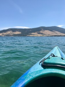
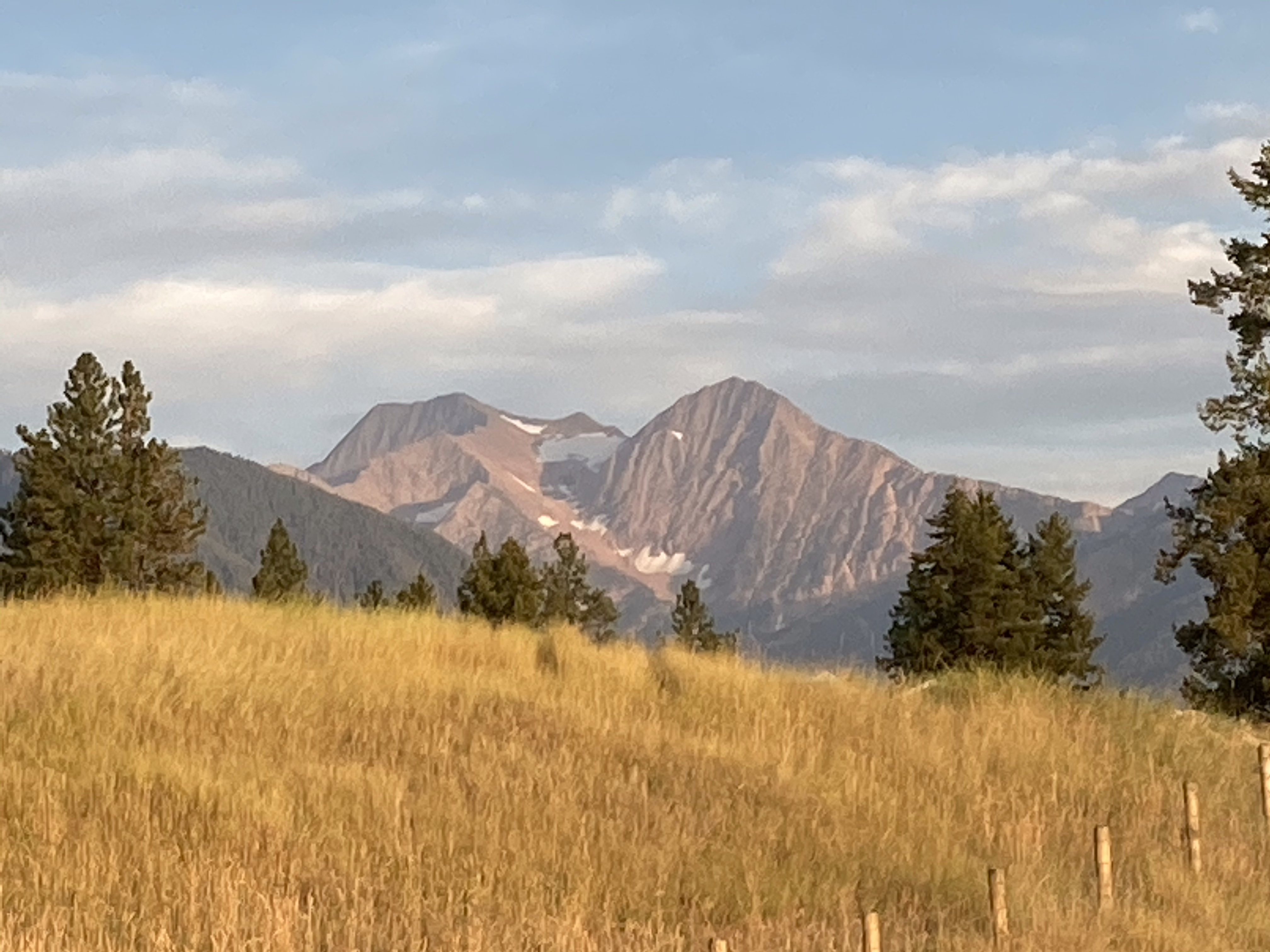
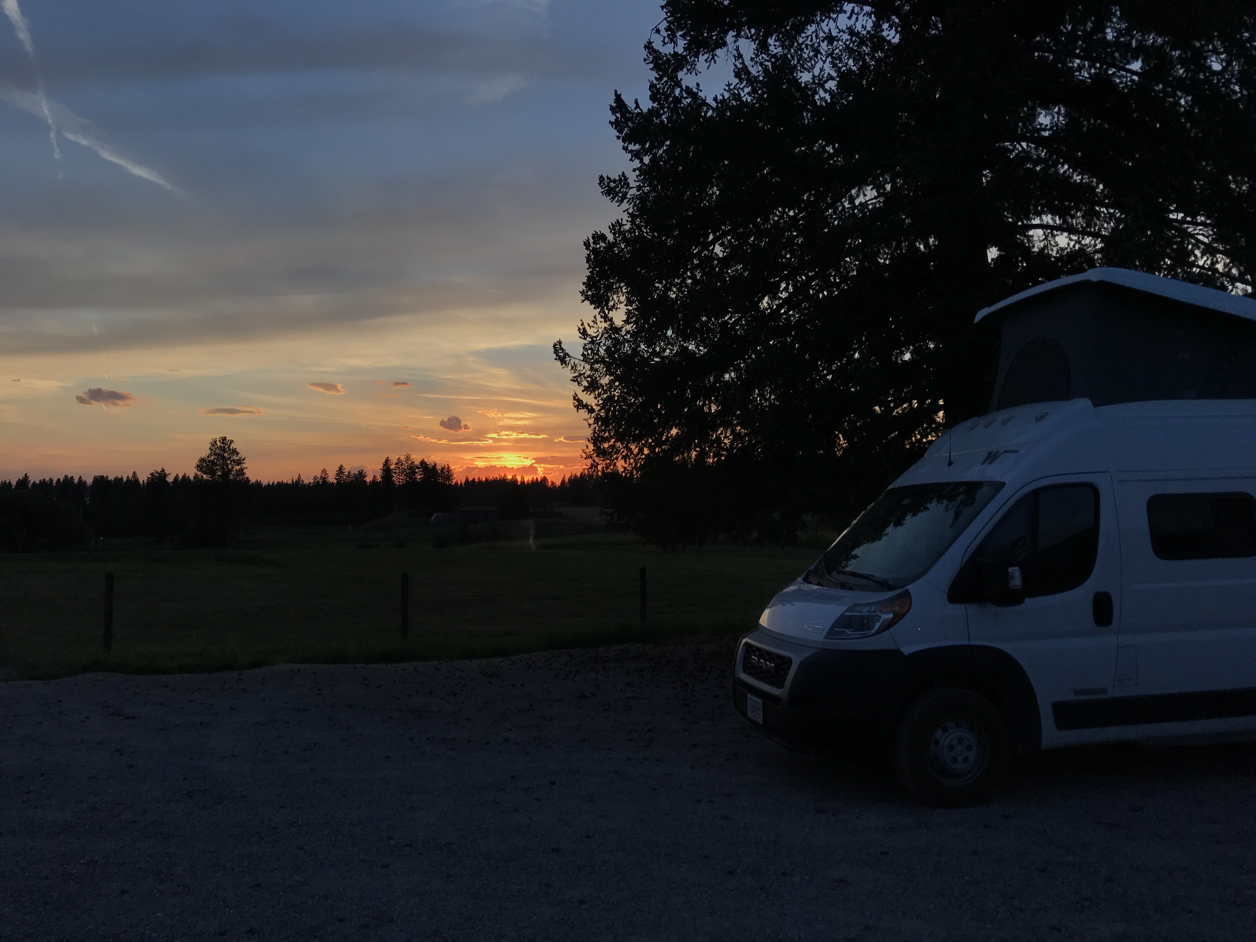
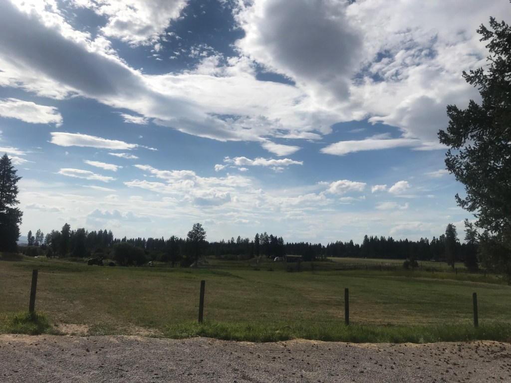
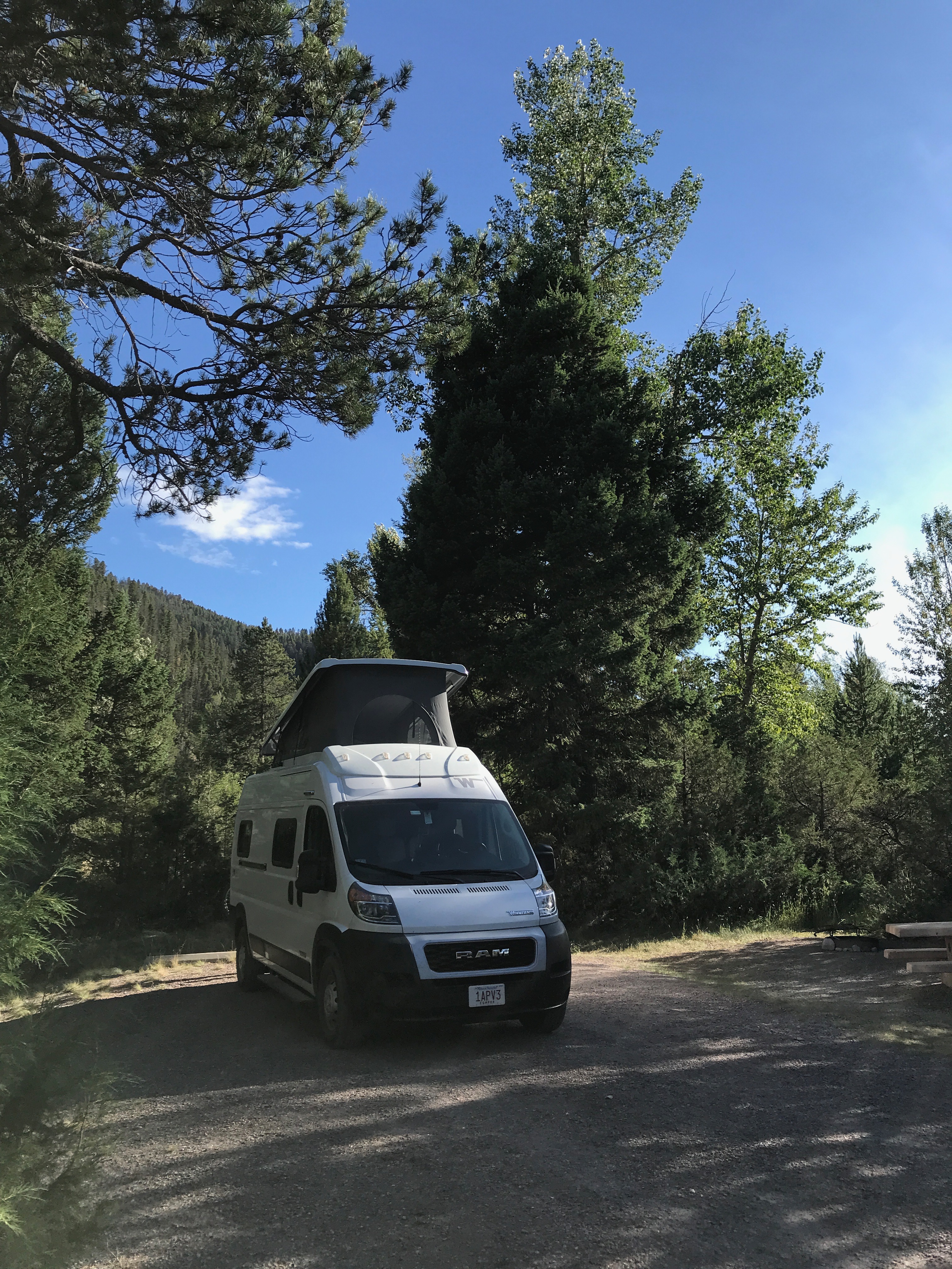
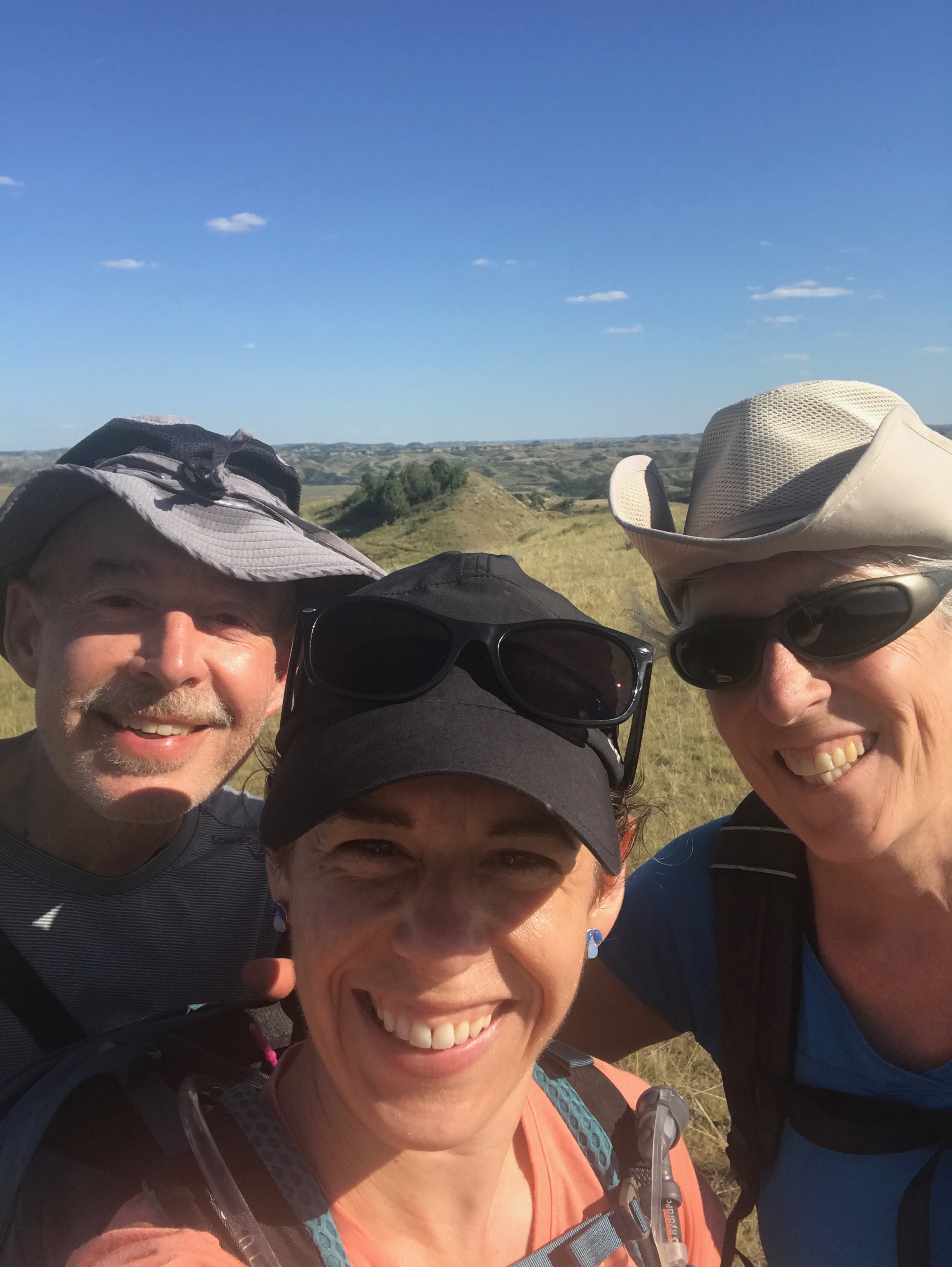
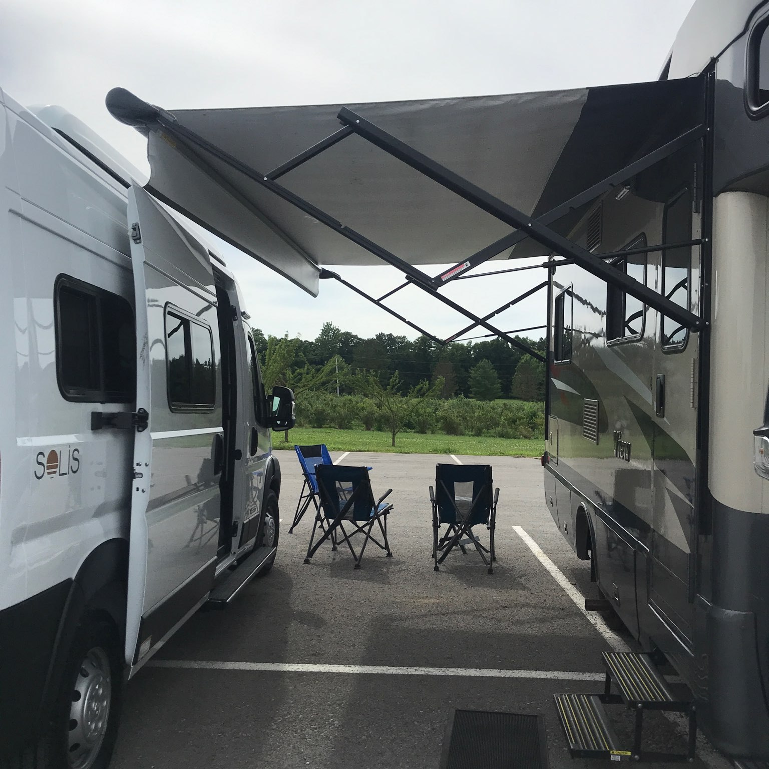
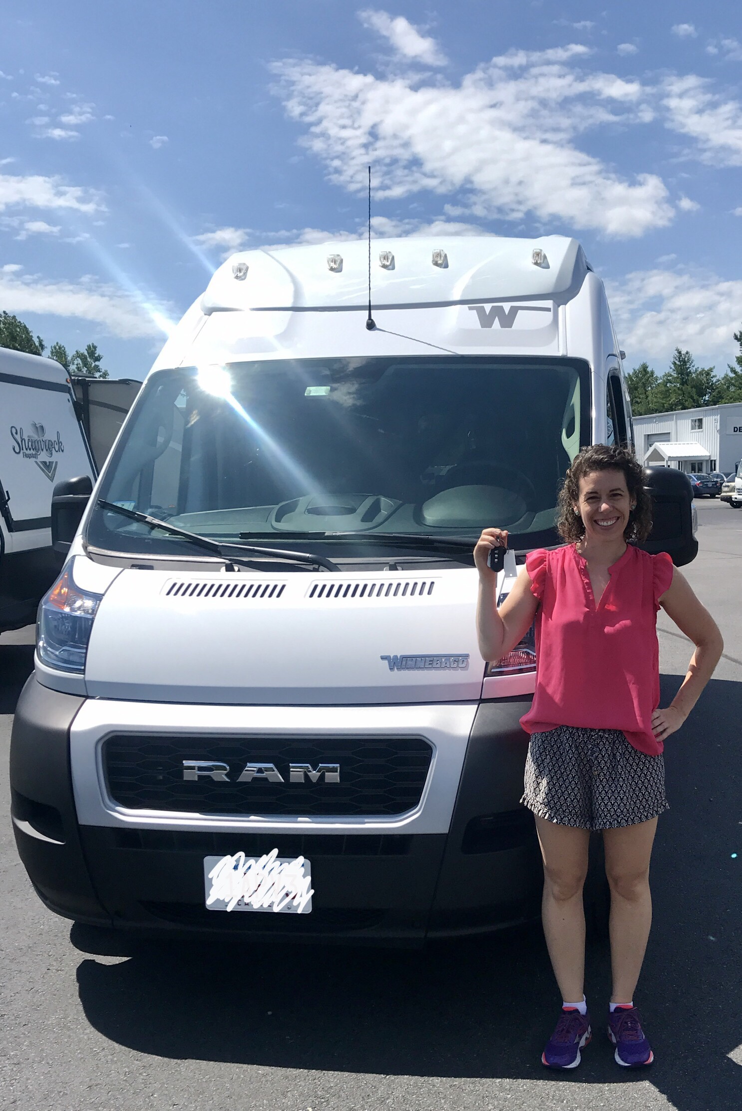
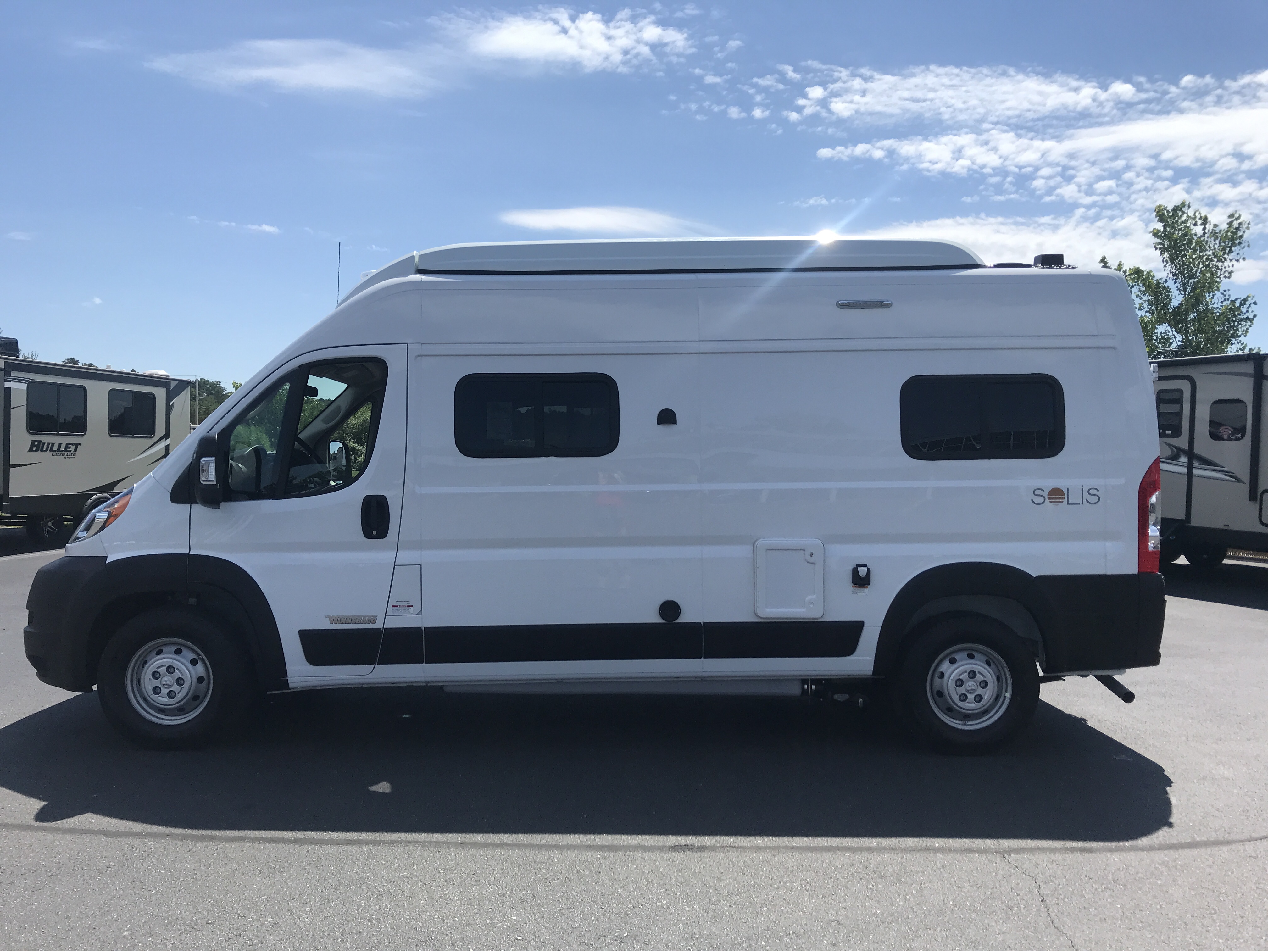
On the Pioneer Scenic Byway, outside of Polaris, Wyoming, our first experience with a ghost town was while we were camping at Grasshopper Campground in the Beaverhead Deerlodge National Forest. One morning we drove 10 miles down the highway to a dusty, bump, dirt road. Five miles down this windy road, through washed out gullies and rocky rutted areas, lay the ghost town of Coolidge. The Solis and I are definitely earning our driving badges this trip.

Cows blocking the road before our arrival. These are true free range cattle!

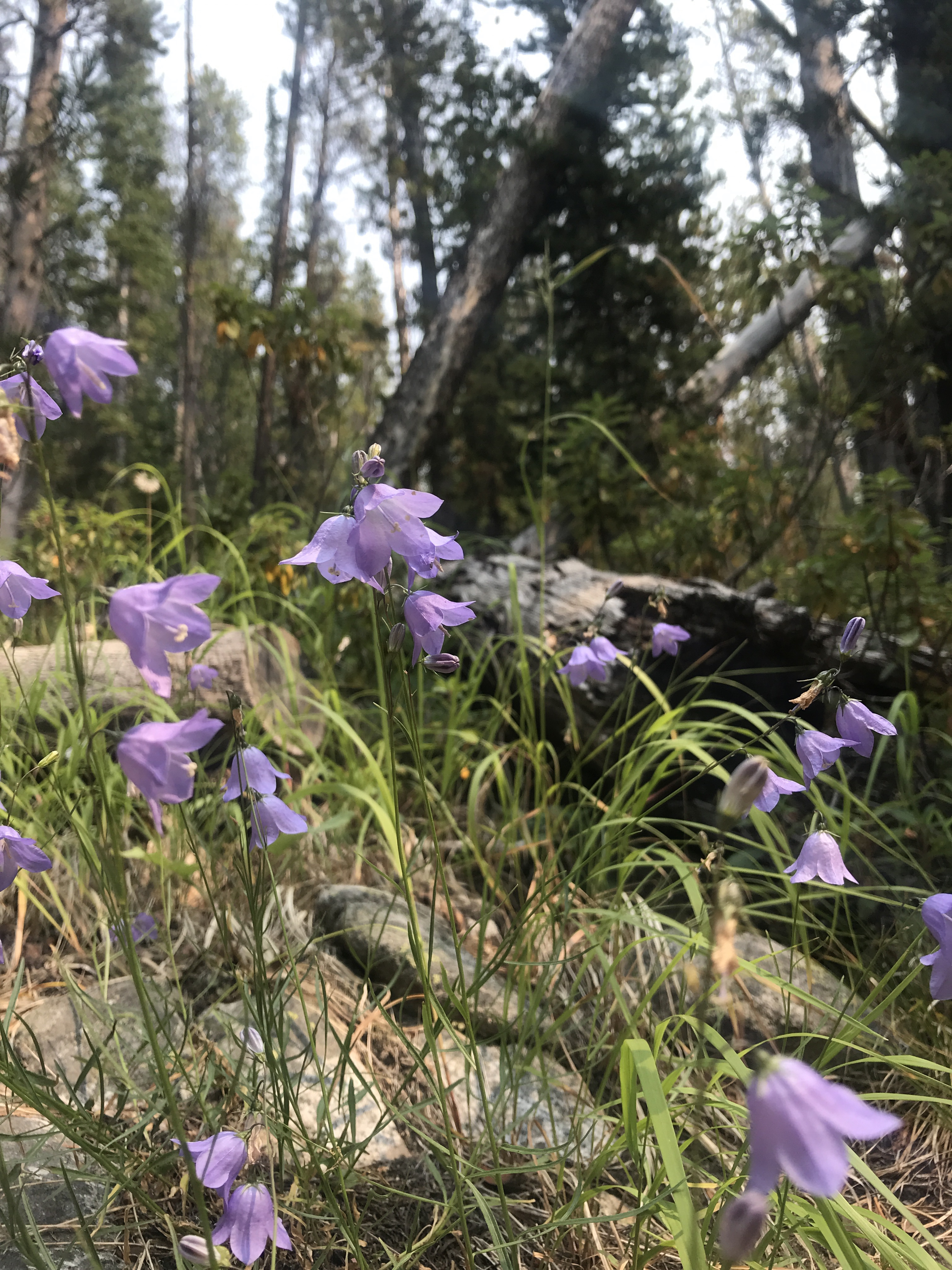
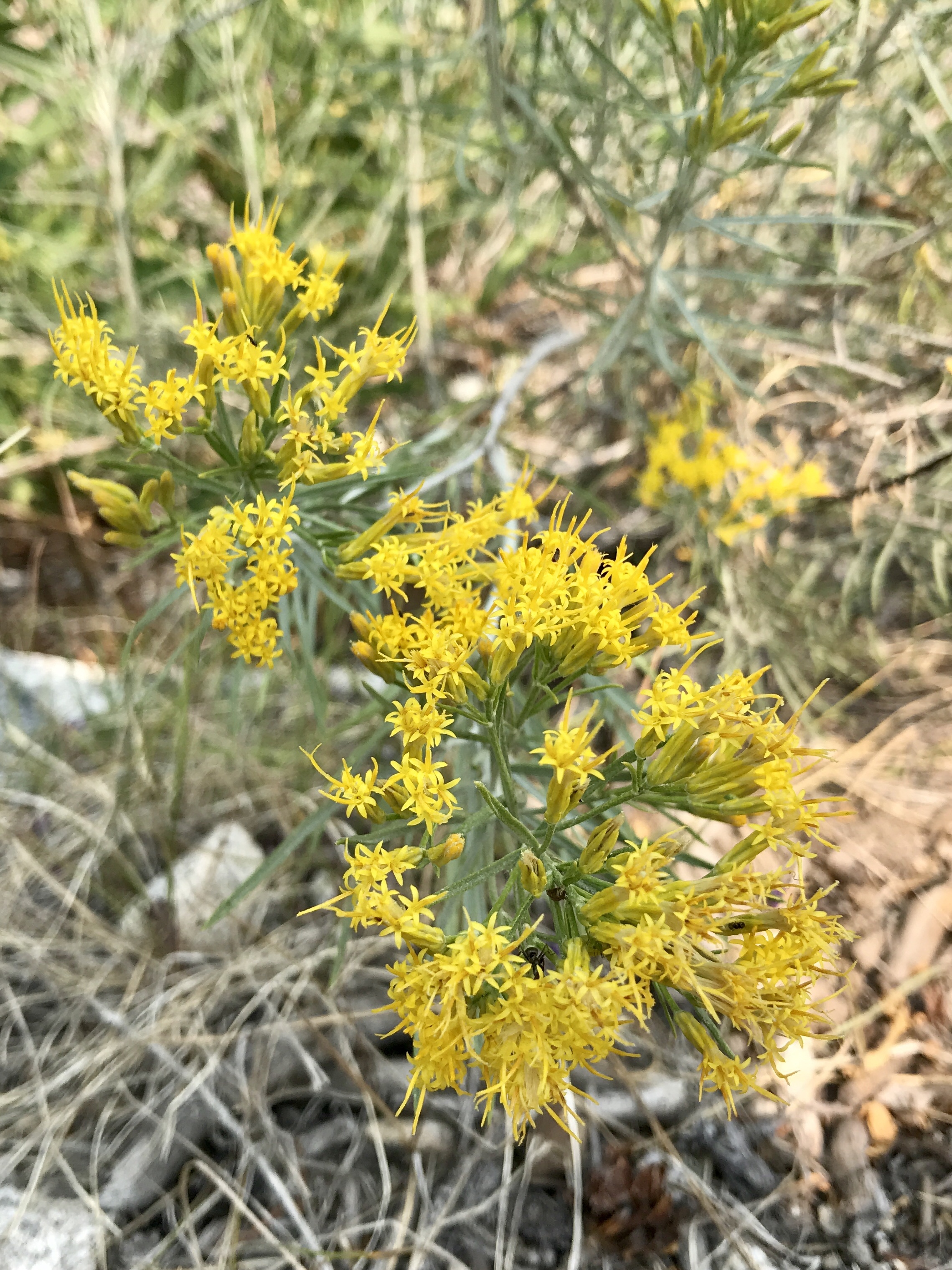
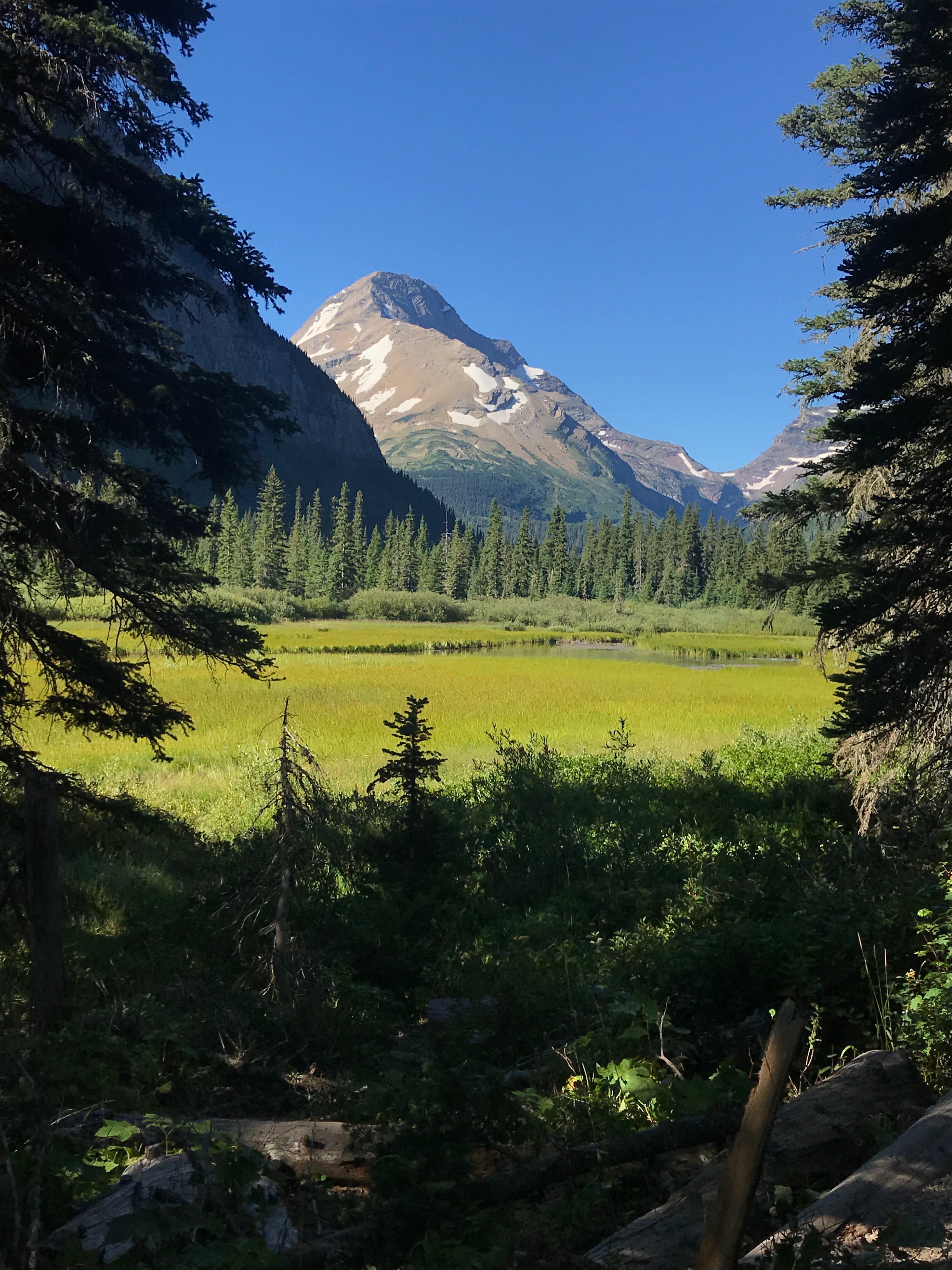
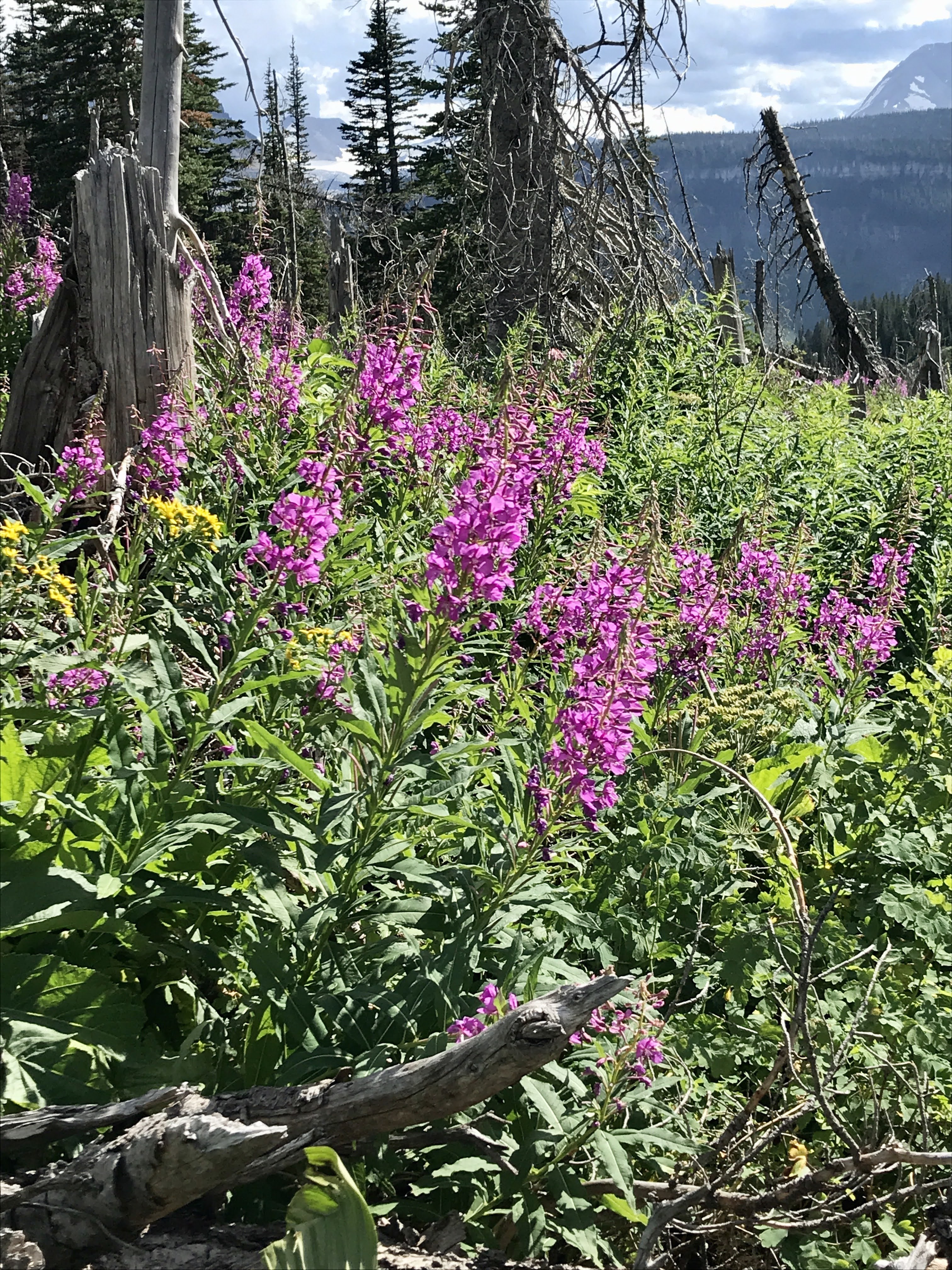
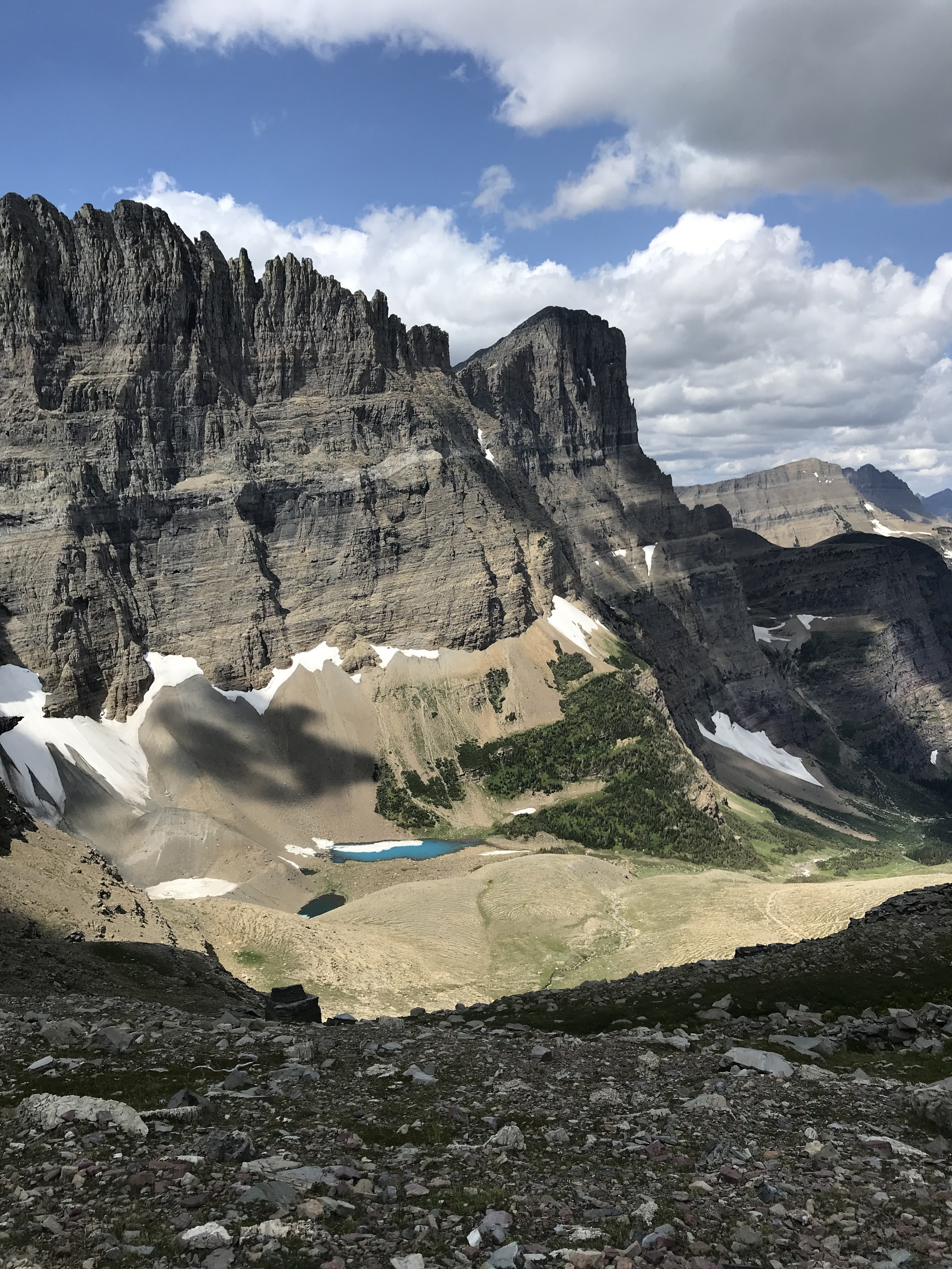
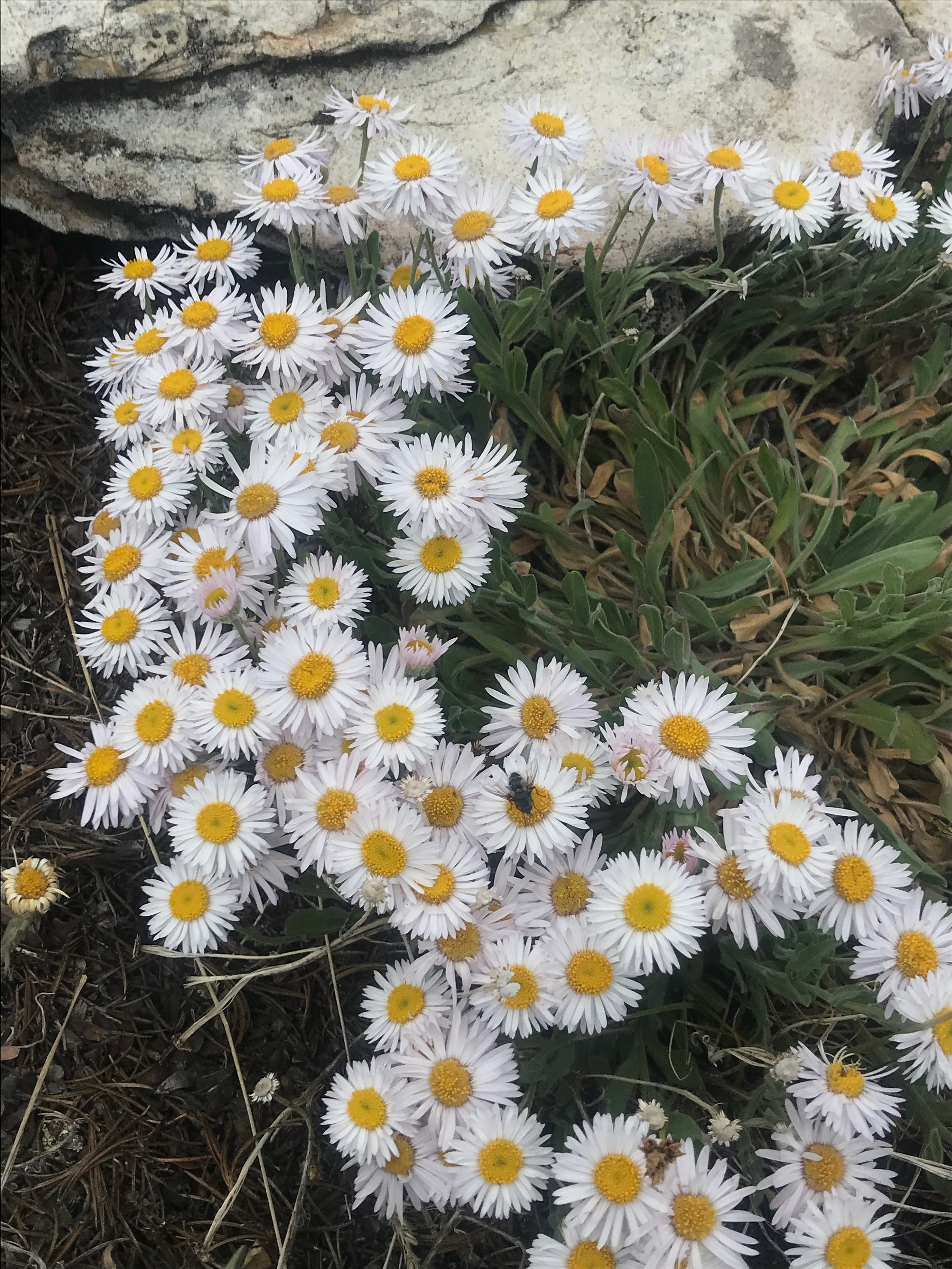
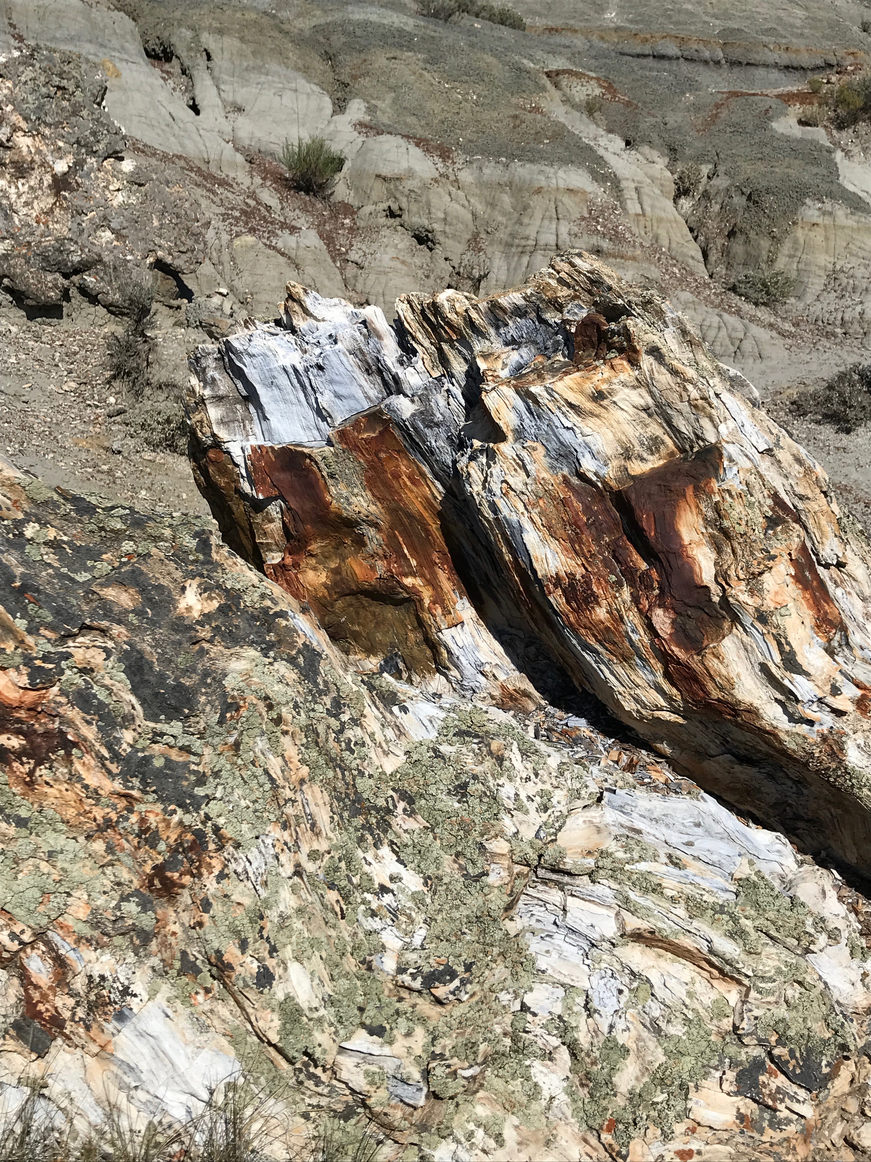
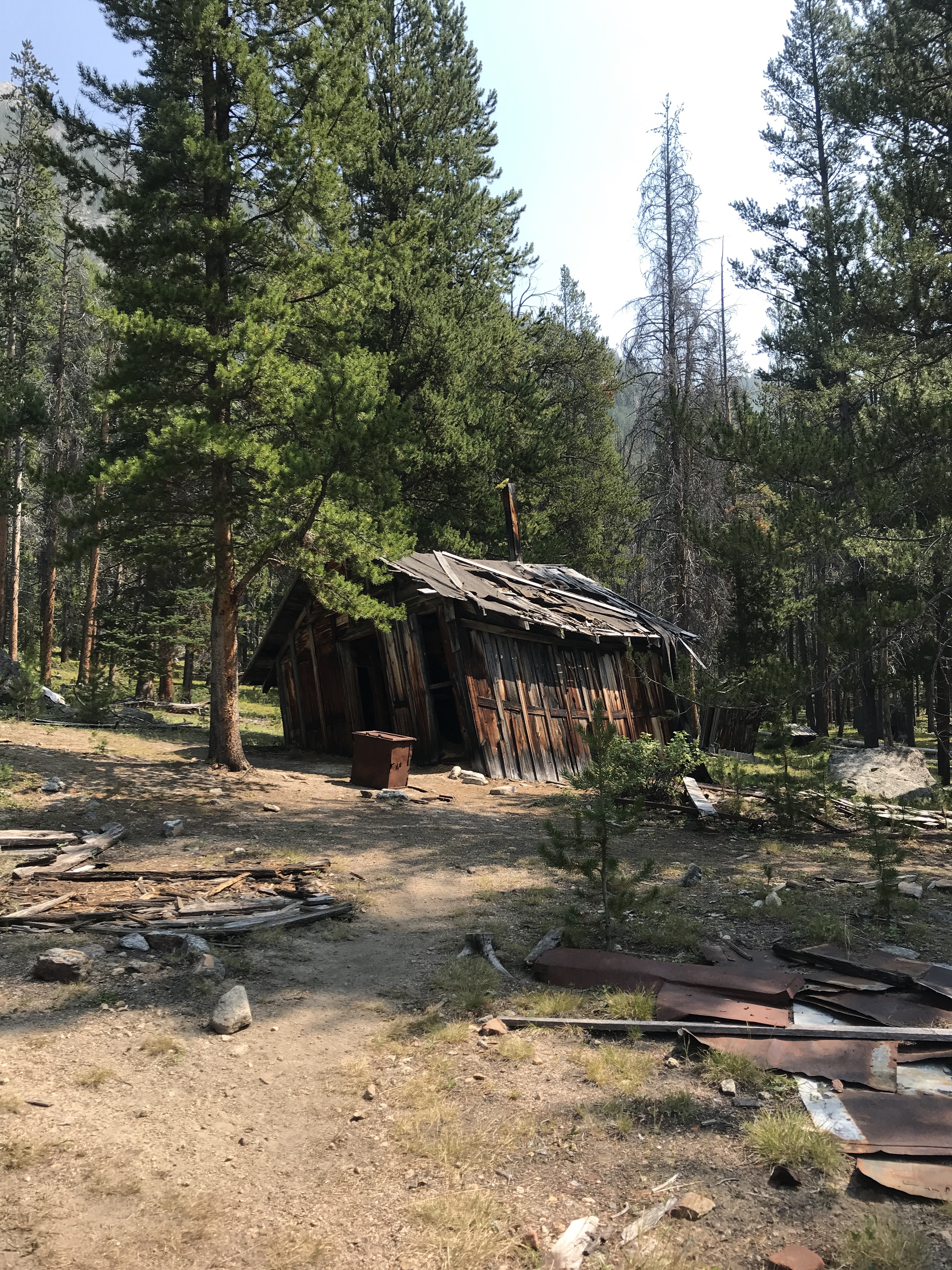
We walked in another half mile on a now forested dirt road to the main buildings.  What looks like a picturesque setting today would have been very bleak at the during of the 20th century when this mining town was growing as all the trees would have been cut down to provide lumber for the houses, school, mess hall, mine, mill, etc.  It would have been a tough, barren place to live so far from the nearest town.  Thinking of what it would have been like to be a child was difficult – probably a lot of chores by hand, maybe some time to frolic in the river and explore, school work, but mostly helping run the household.

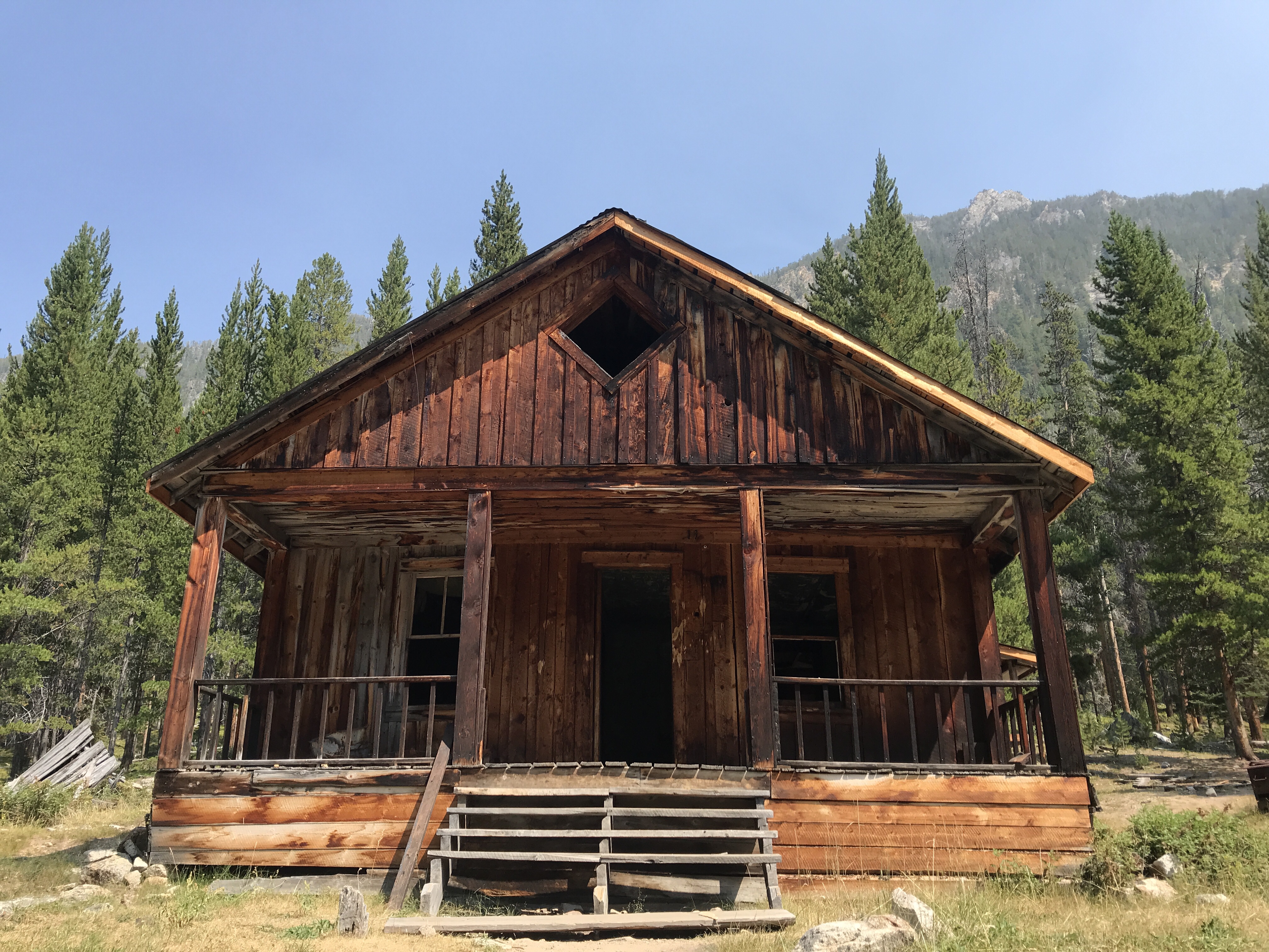
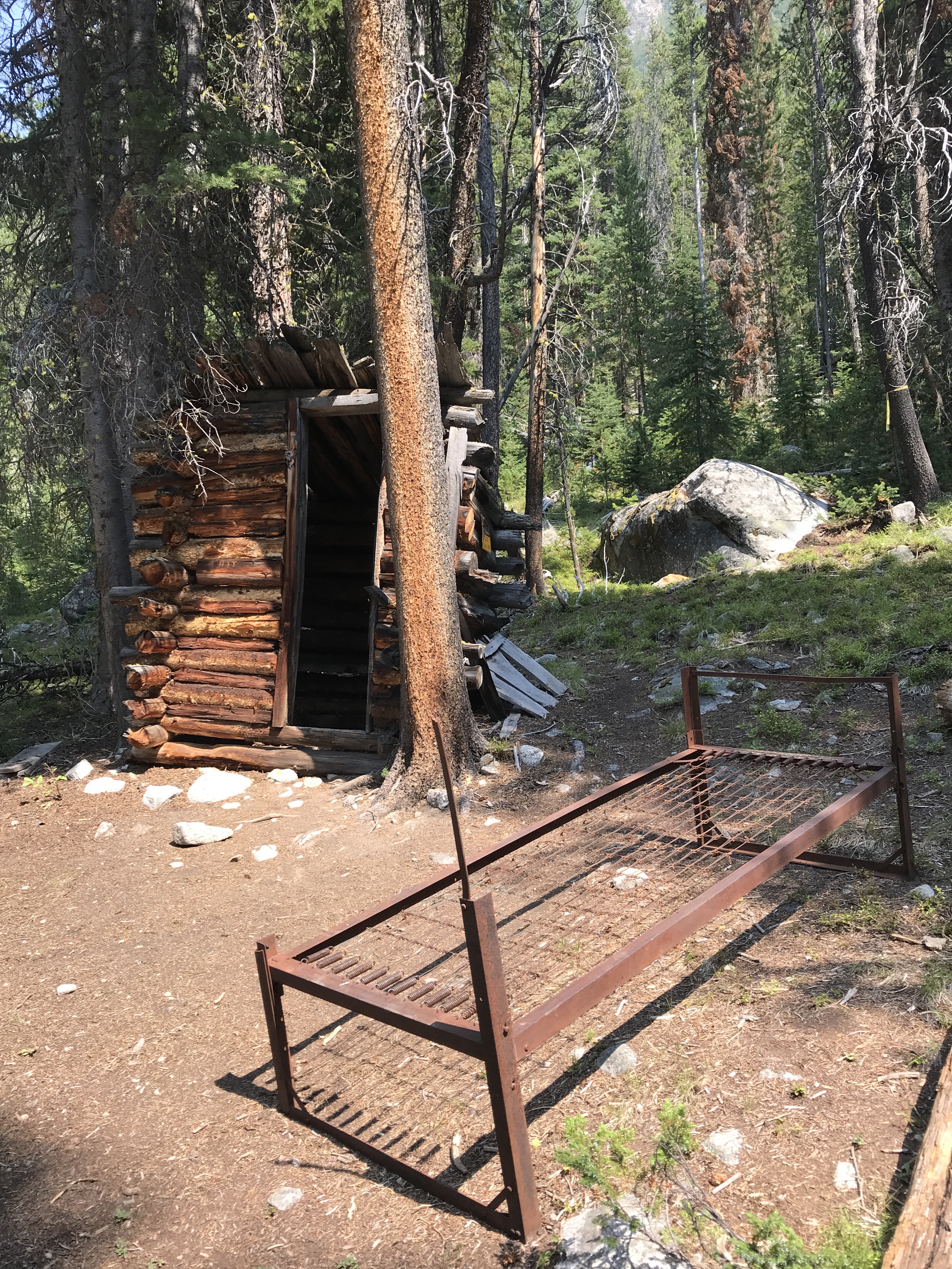
What was once a long, busy street along the left side of the river, decorated by buildings on both sides, is now a quiet dirt road dotted with abandoned and collapsing wooden buildings. On the left, up the hill towards the forest are homes, each with an outhouse behind it. Most seem to be one or two rooms homes built from simple wood planks, their roofs long gone and their floors covered with green plants sprouting up and crawling over the fallen beams. A few chipmunks and squirrels skitter scatter here and there, looking for a hiding spot or a snack to munch on. A few fancier homes still stand fairly tall, these made in more of a log cabin style – sturdy and enduring. The Tyro home is one of these places. I am unsure who the Tyro family was, but they must have been important because they had a multi-room, two-story house with a nice porch. You can walk in and around the house, looking at the now empty shelves and metal bed frames left behind.

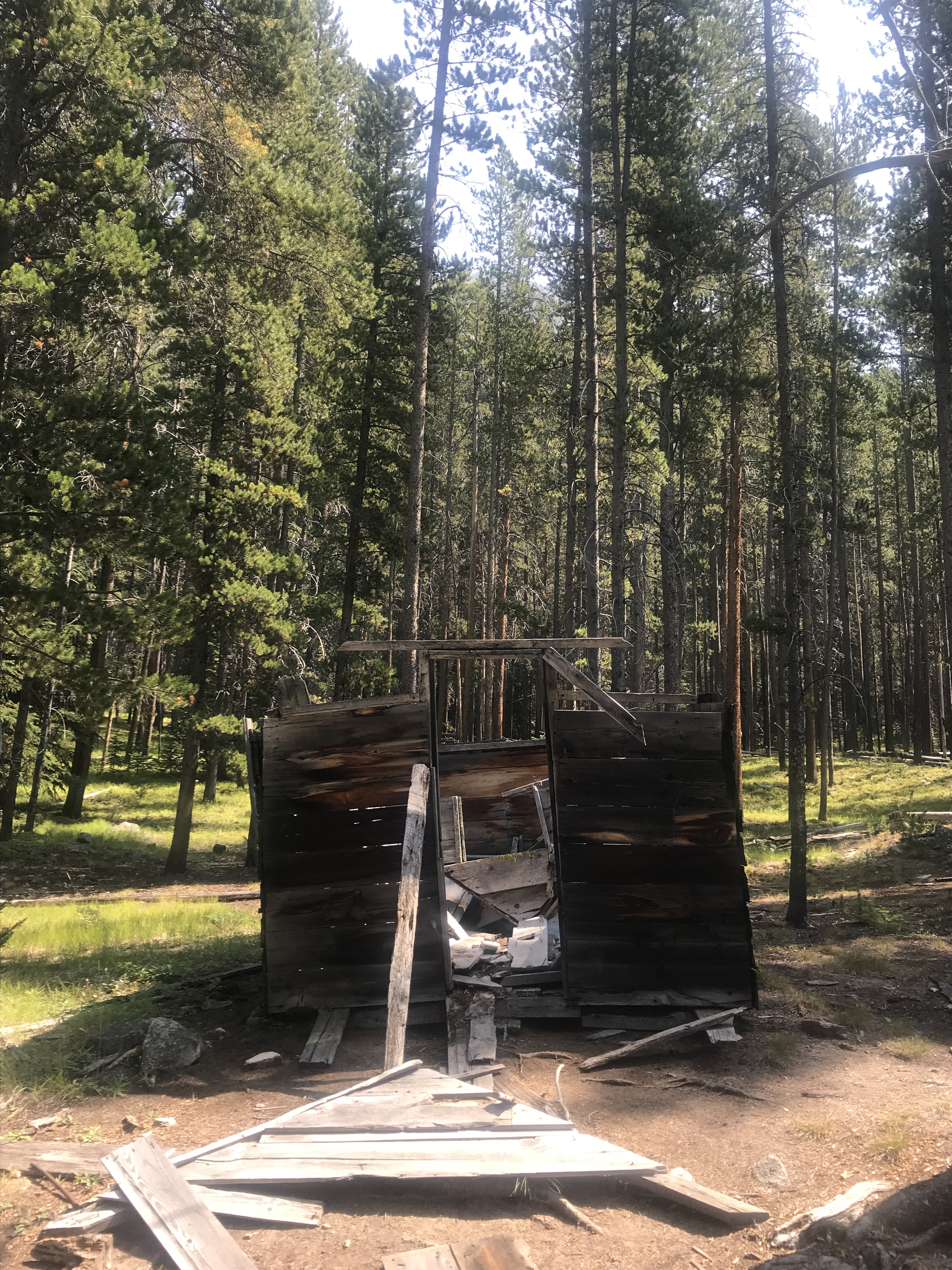
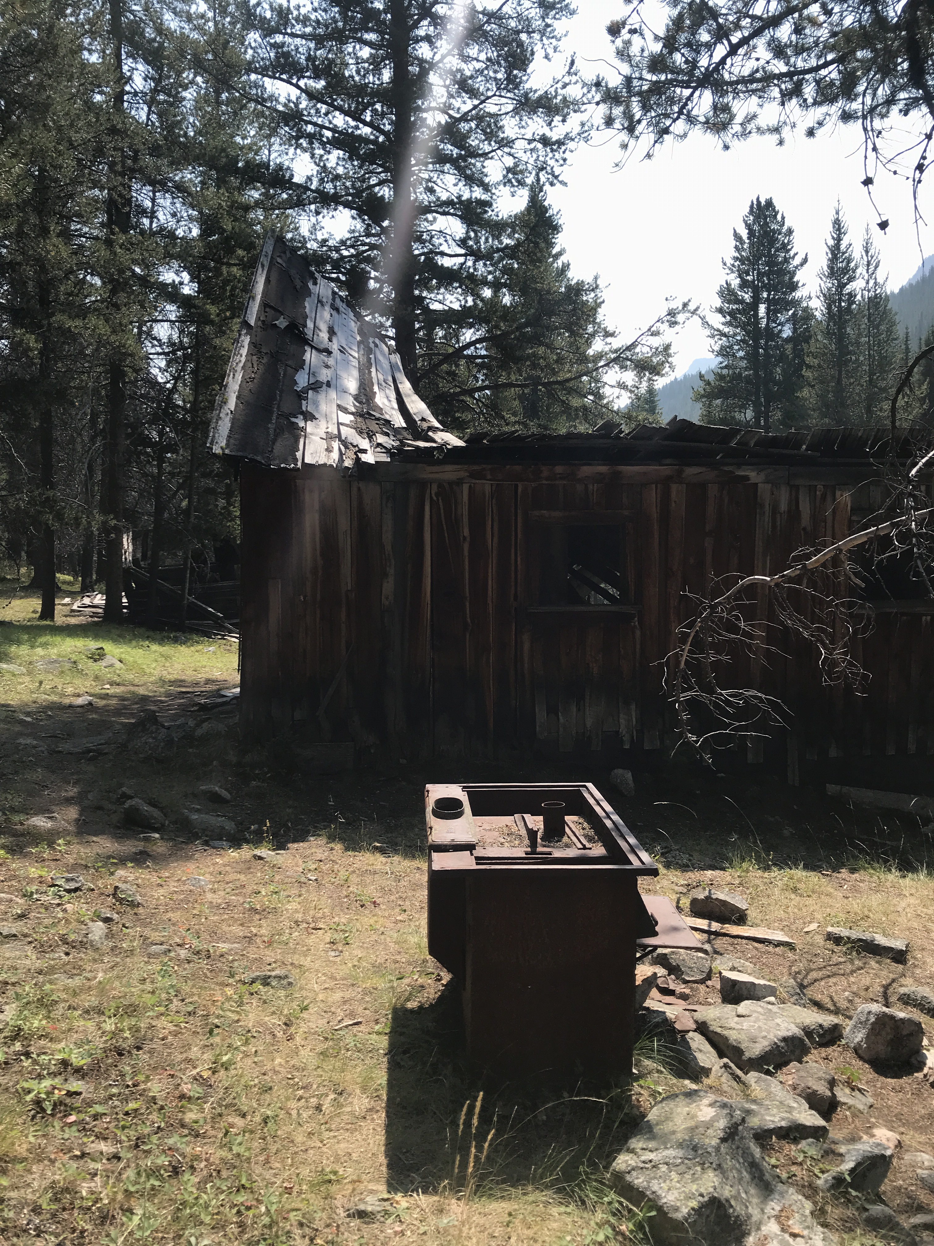
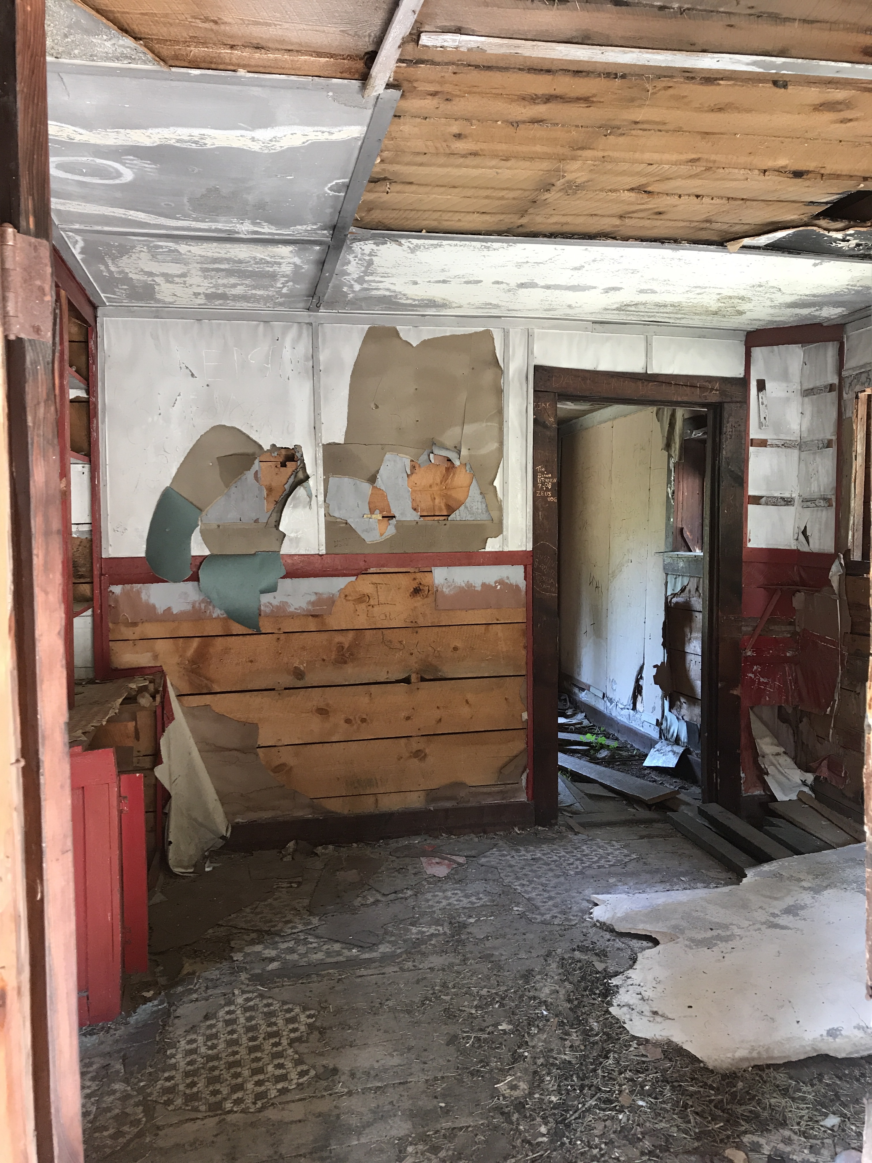
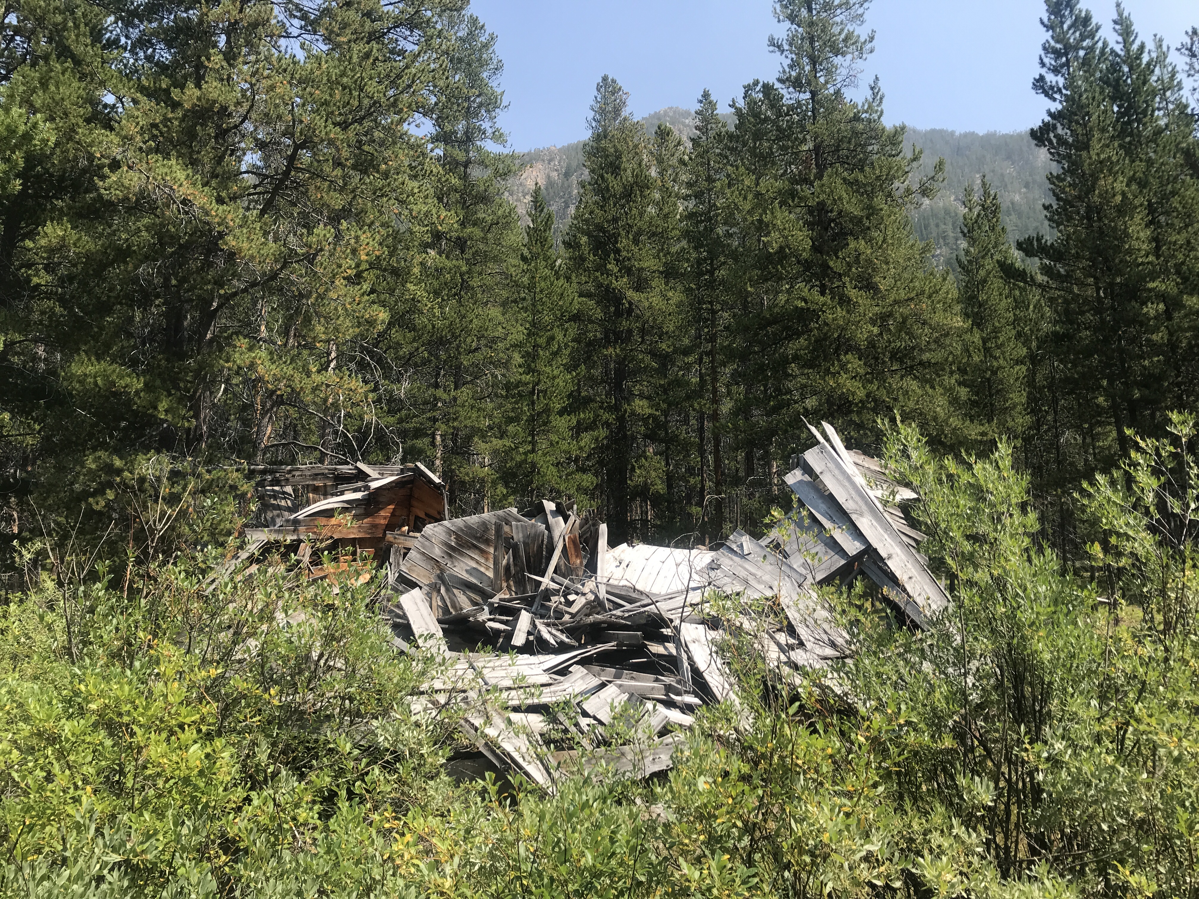
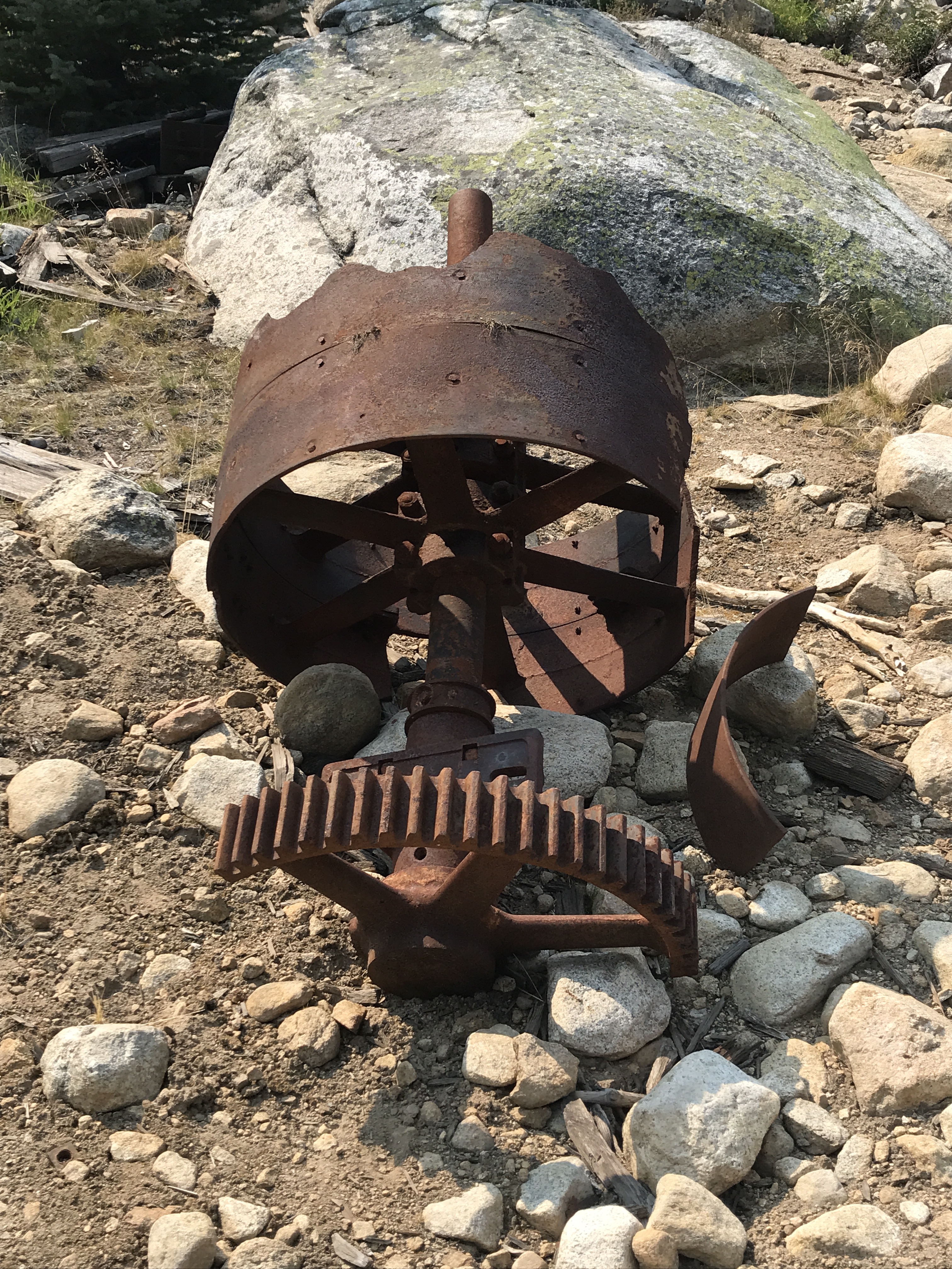
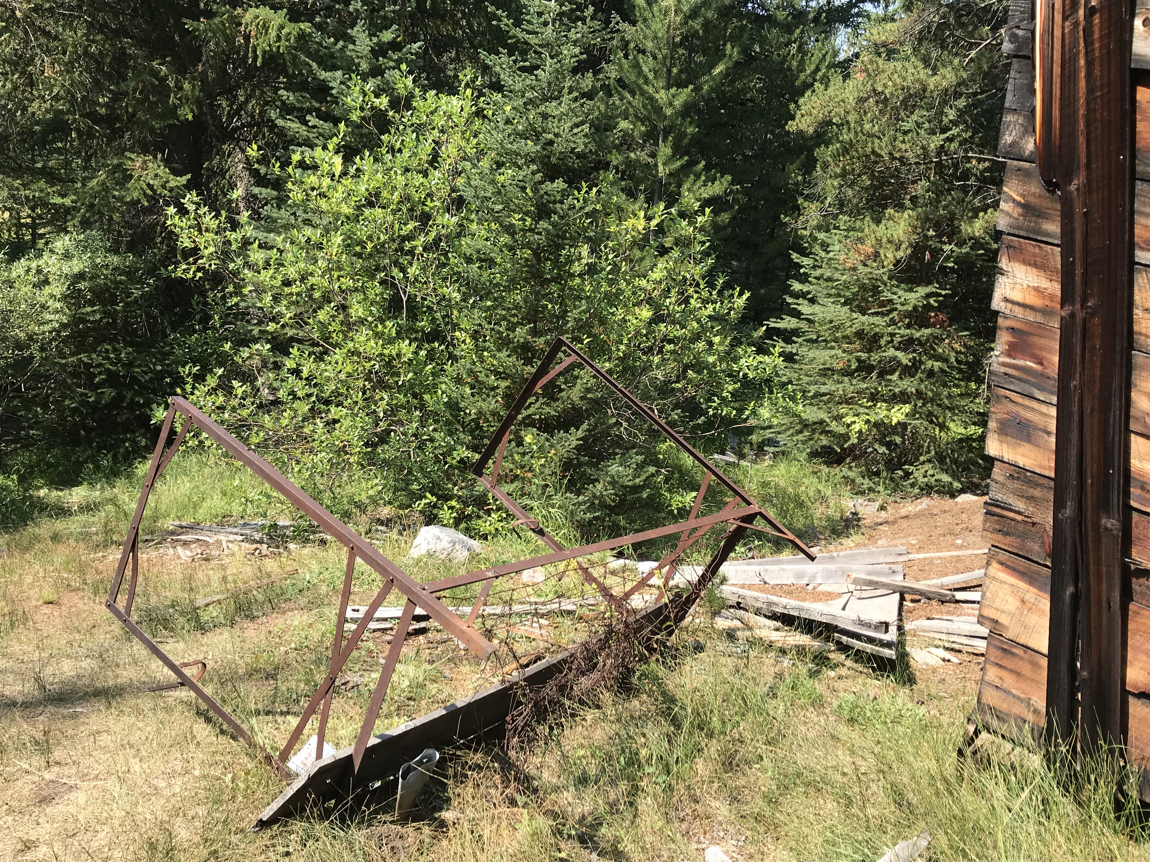
As you walk down the road, most buildings are unidentifiable, but there are guesses as to which was the schoolhouse, which the dining hall, which the village store. Along the way you can see tin cans lying about, probably once buried after use by the village inhabitants, now dug up or revealed by erosion. Old stoves, bed frames, and machinery are strewn between the houses, reminders of the bustling lives that once occupied this space.

A small sign shares some of the history of Coolidge – a gold mining endeavor organized and managed by William R. Allen.  After graduating college and trying his hand in politics, he was drawn into the mining business with dreams of big fortunes.  He was a skilled talker and convinced many people to invest in his operation, which required a railroad to be build from the town of Divide to the mine, many miles long.  The mine began operating sometime after 1913 and was fairly successful extracting gold until 1933 when the Great Depression hit everyone hard.  Allen worked to sustain his mine for many years after 1933, but with little success.

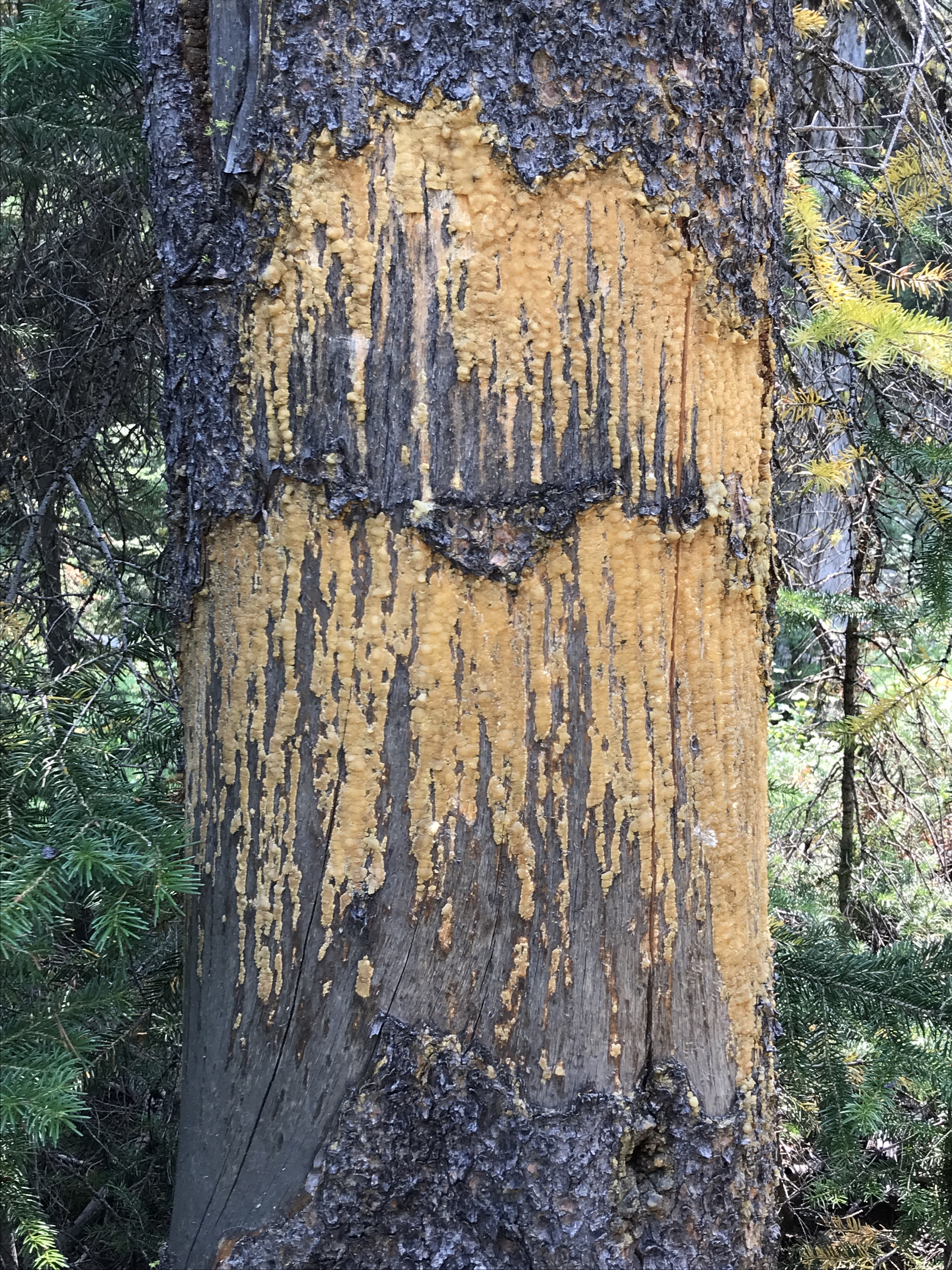
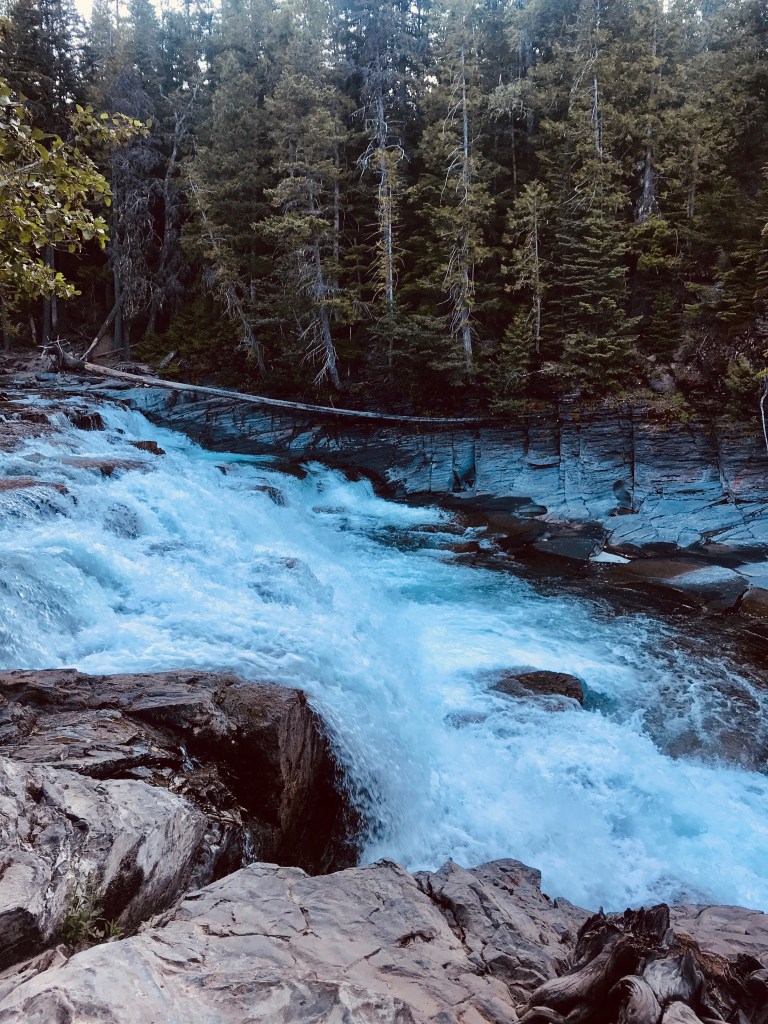
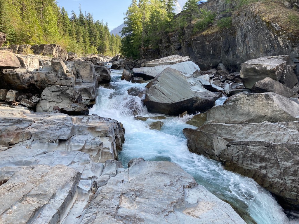
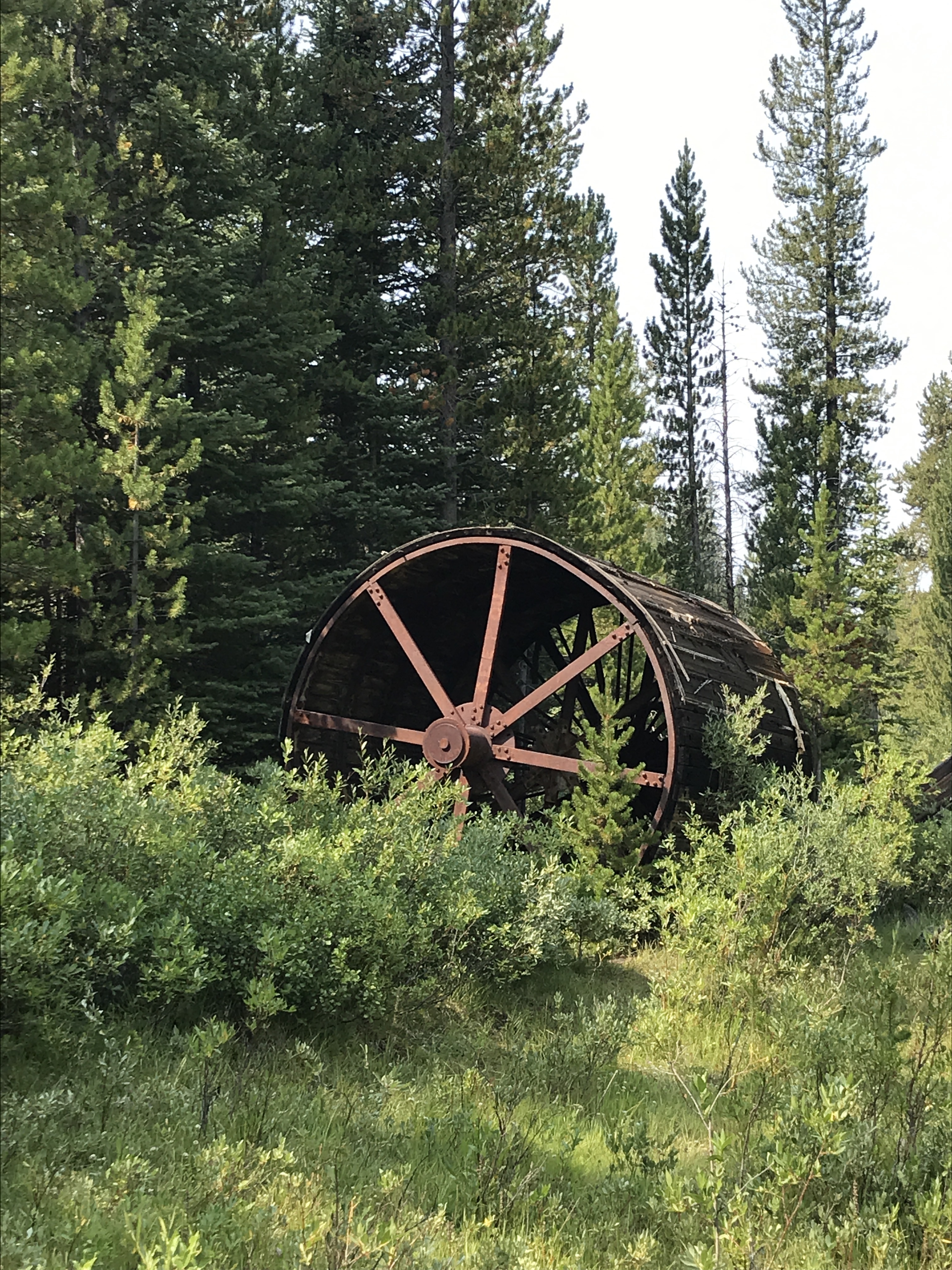
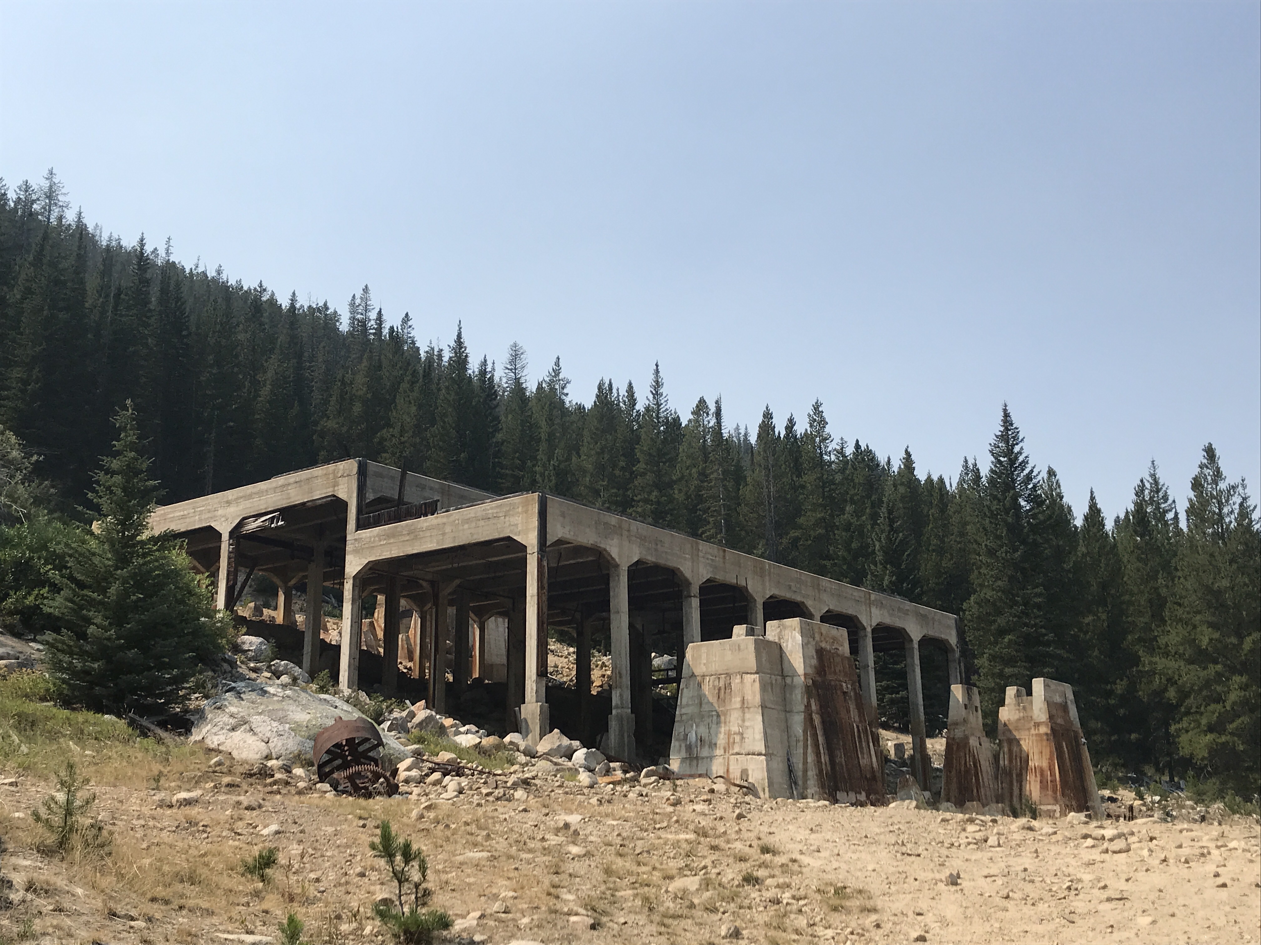
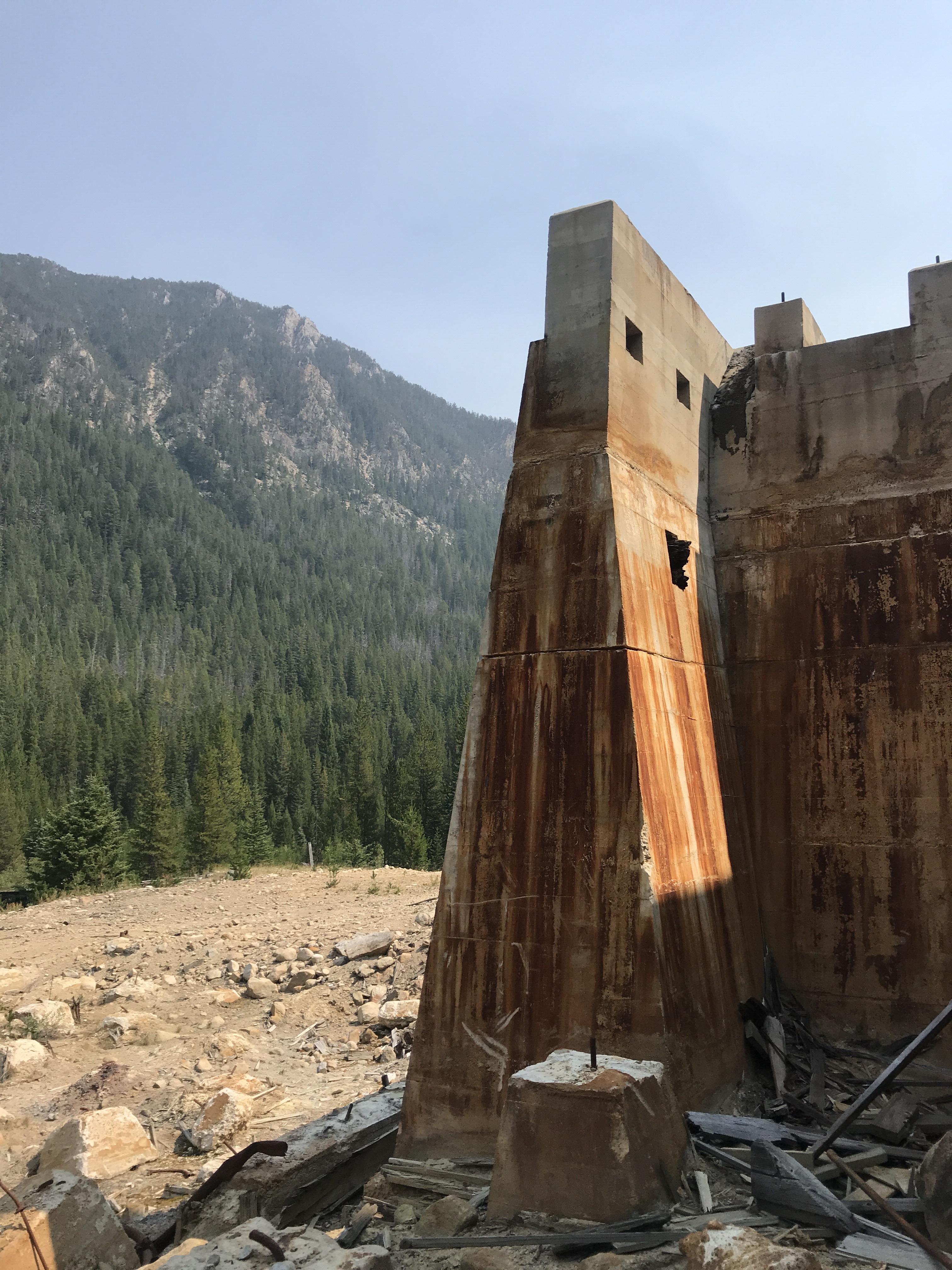
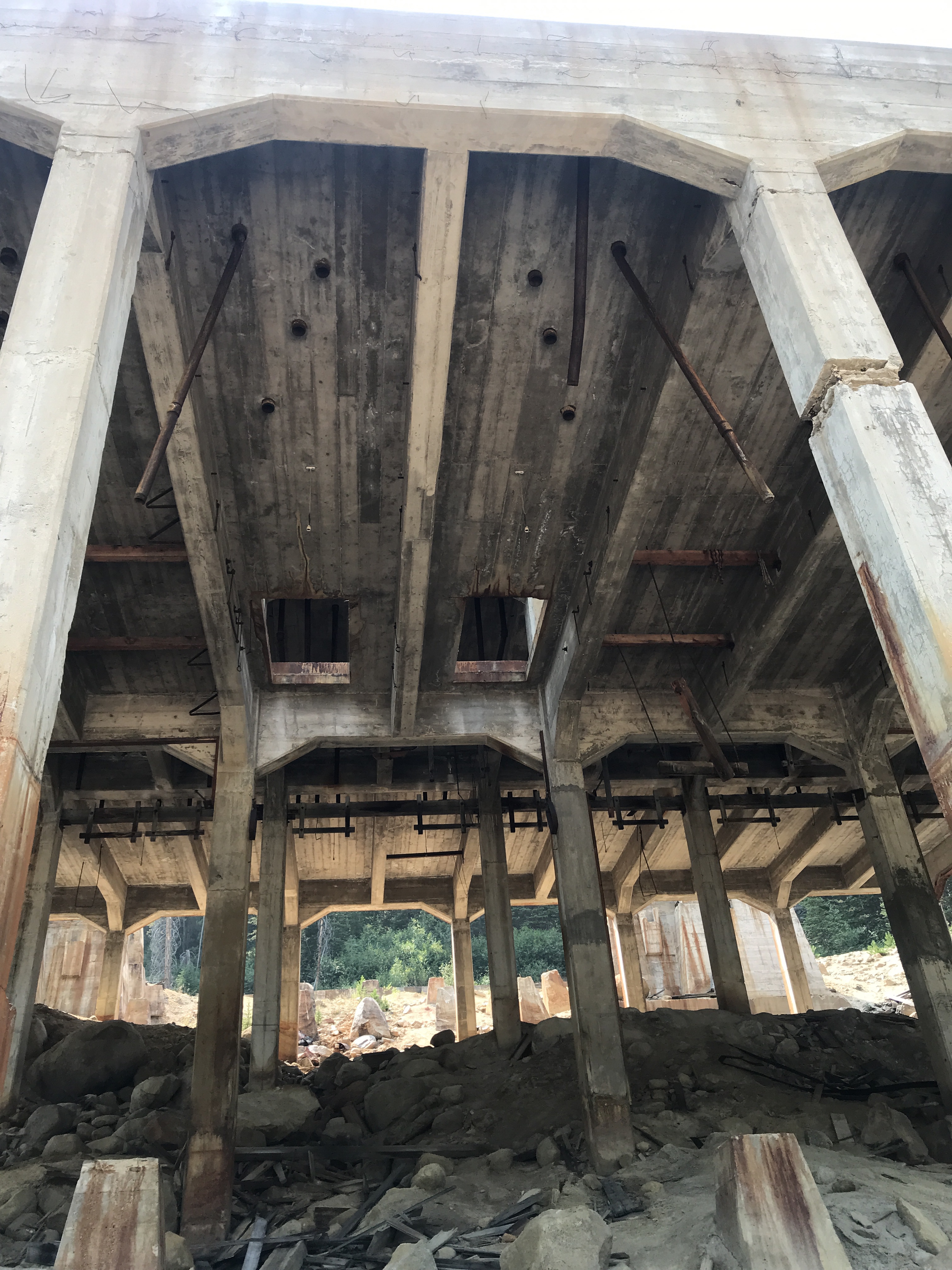
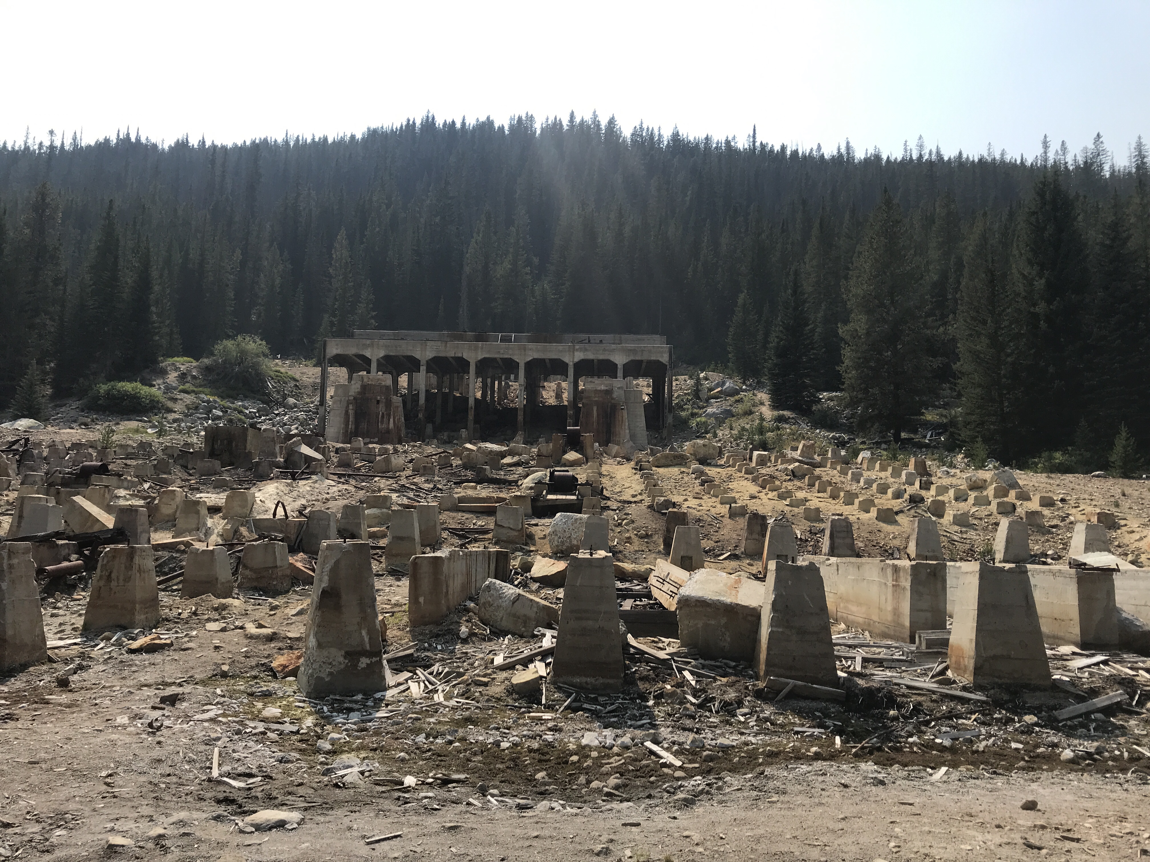
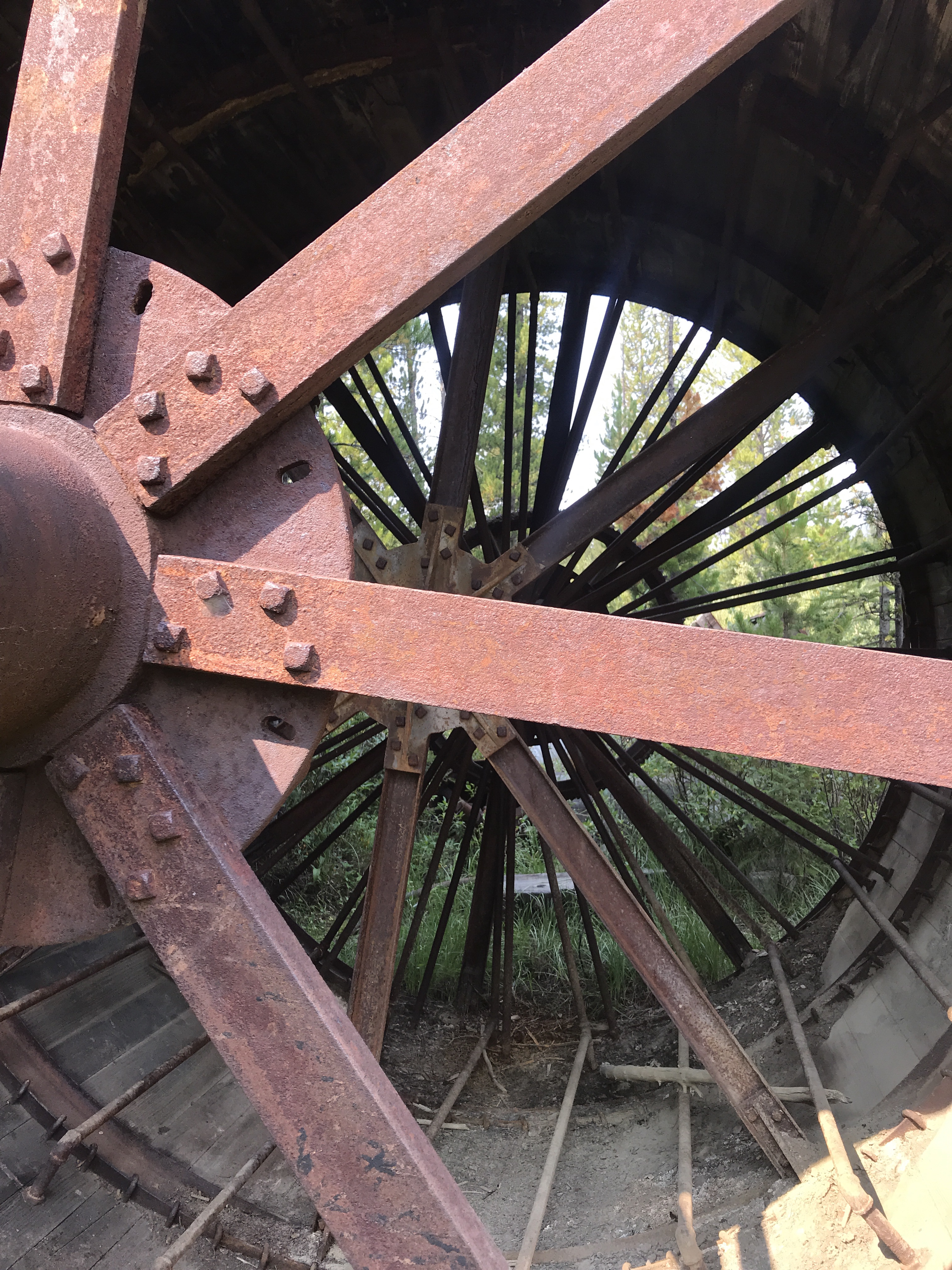
Today you can cross the river and walk down to the mine and mill that powered this town. We walked down to the mill, a once looming giant of a structure, nearly four large stories high built into the side of the hill. Most of the mill has been deconstructed today and its lumber sold off, but towering cement pillars still stand, showing how the mill rose up from the river below that powered it. Above the mill are wood planks, the only remains of the raised track that connected the mine and mill, bringing precious materials from one to the other. I walked around, through, and up the structure, trying to imagine the power that came from this place nearly 100 years ago and the dangerous, difficult labor of the mine workers who risked their lives to bring the gold out of the mine.

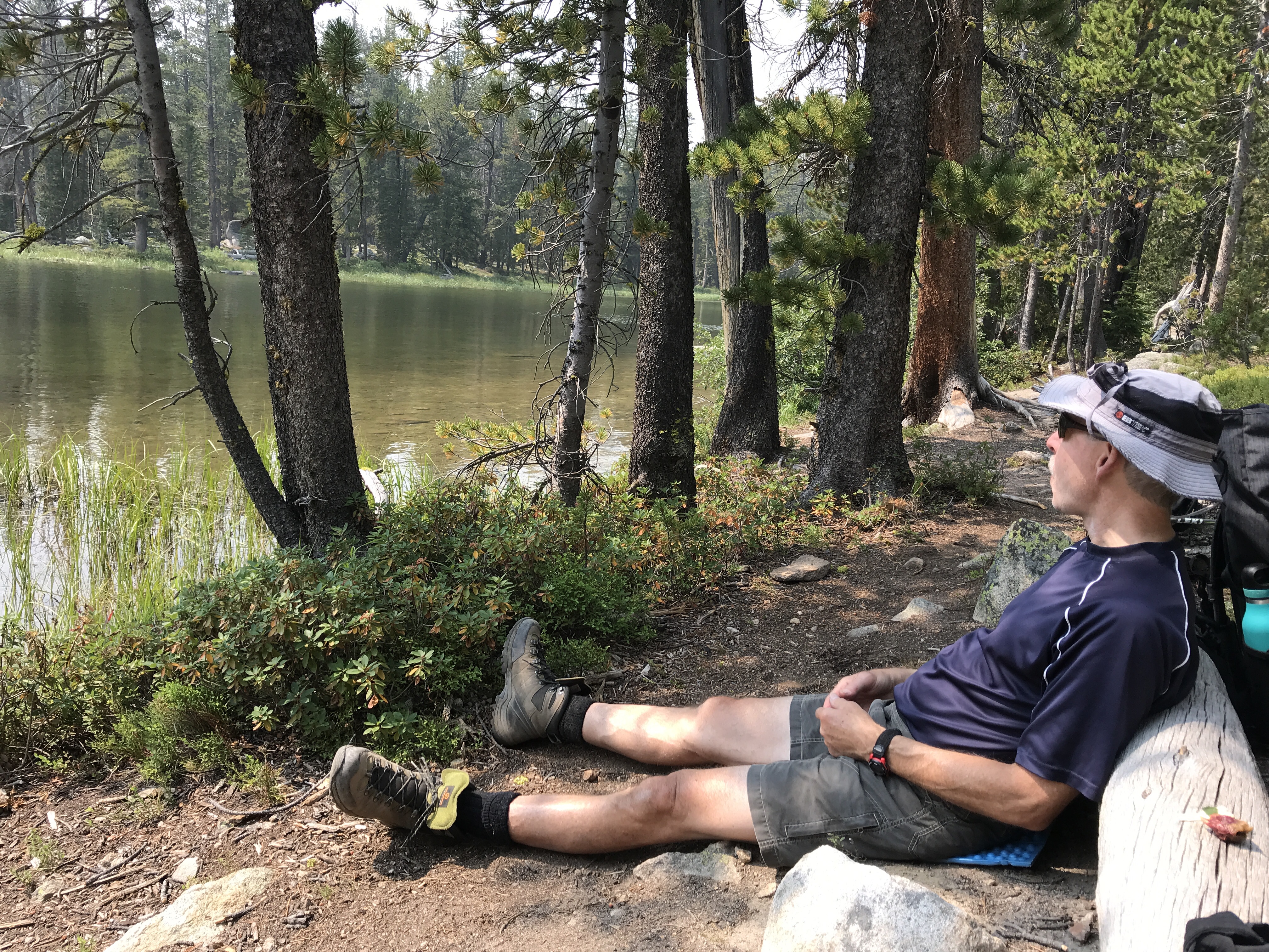
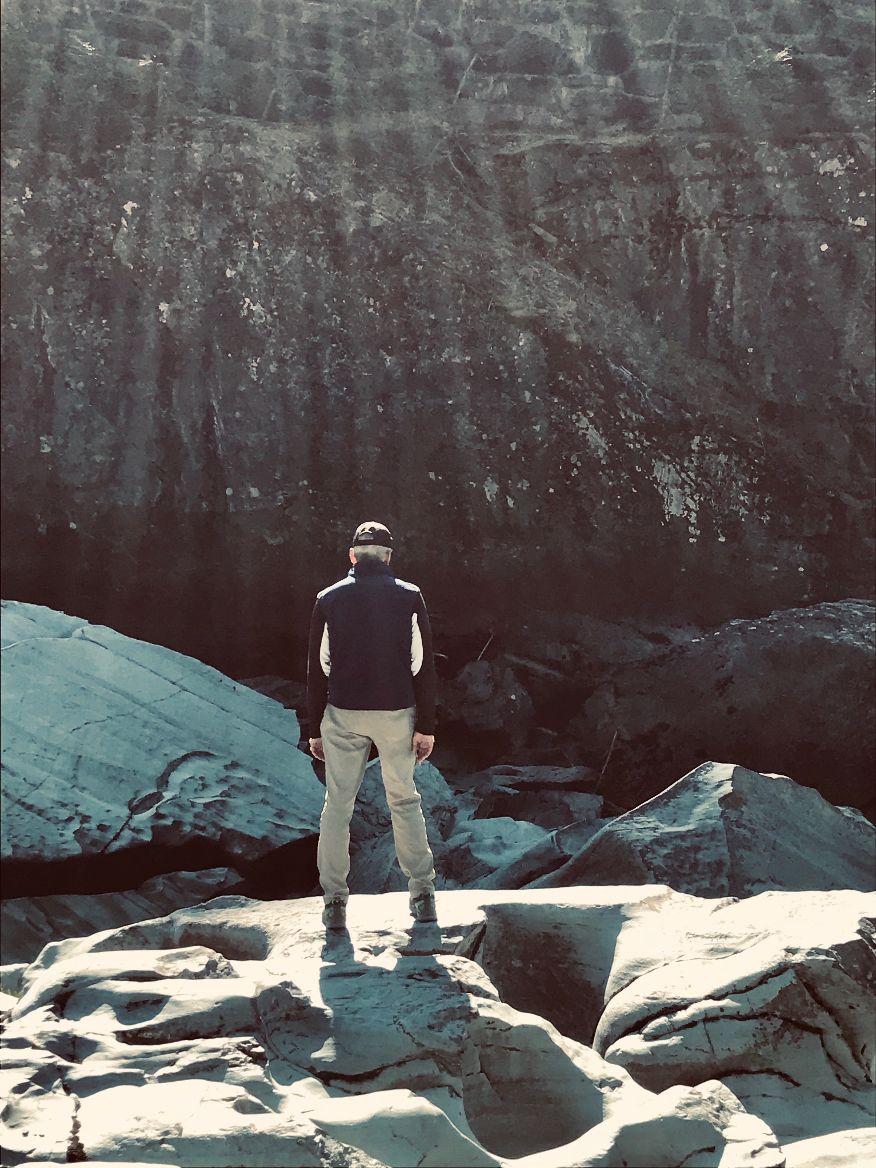
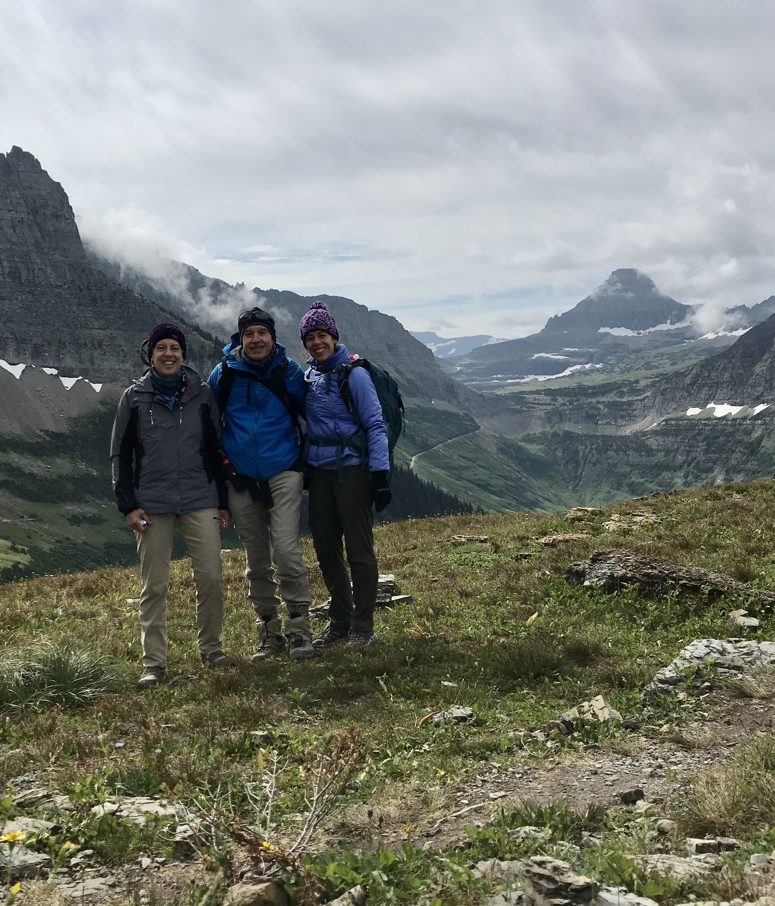
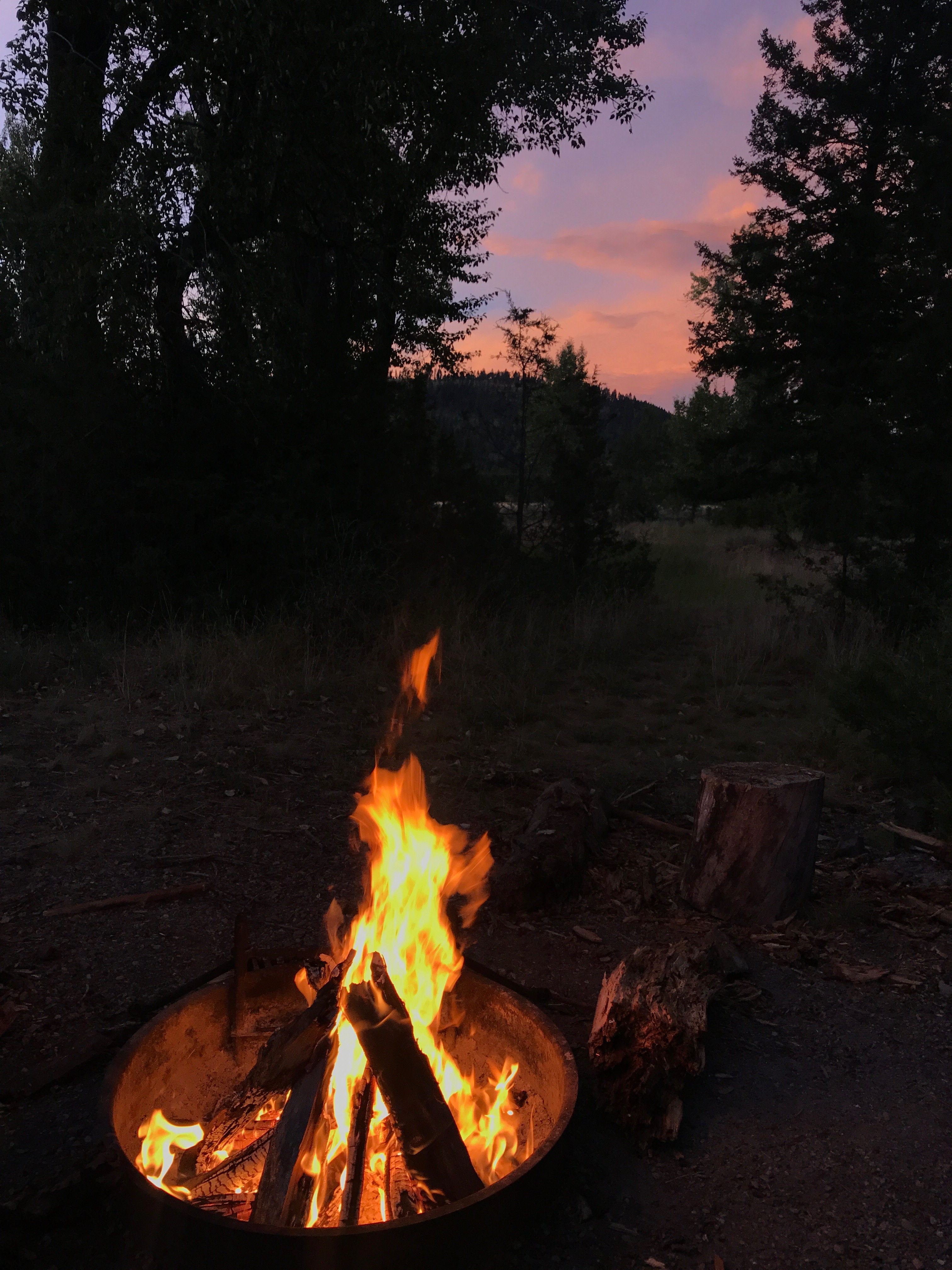
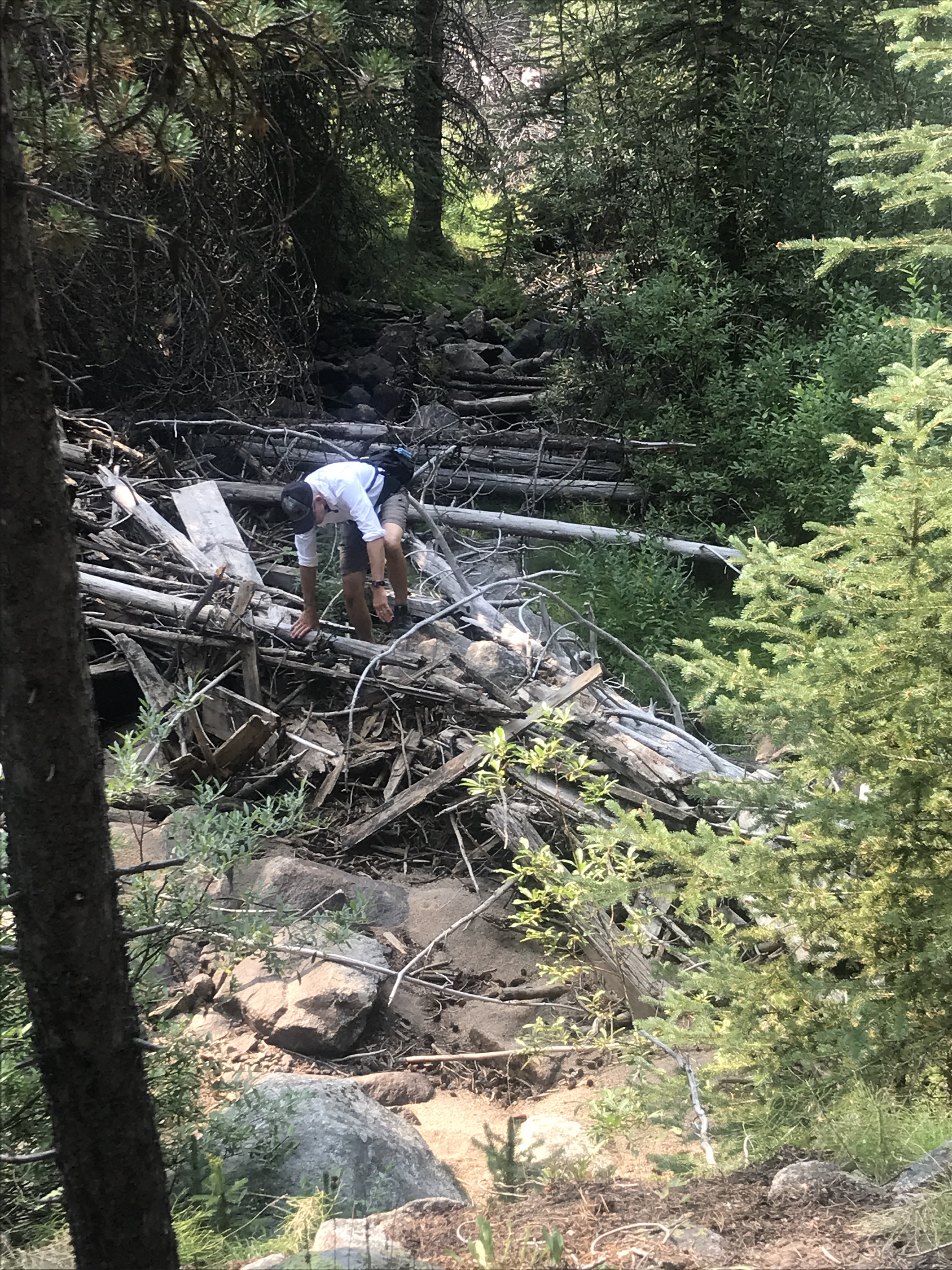
Eventually we made our way back to the car, but of course not without an adventure. Instead of walking back to the road, we decided to walk through the woods on the raised embankment of one side of the old canal. We meandered for a while without problem, but eventually the path stopped and we had to cross the creek. My mom and I made it across with relative ease, but of course my dad had to choose the path less traveled and crawl over some fallen trees that had rushed down the river. My mom and I watched with a slight smile from our nice resting spot on the far side. Then we all walked the last hundred yards back to the car, for the dirt road travels back to our camping site.

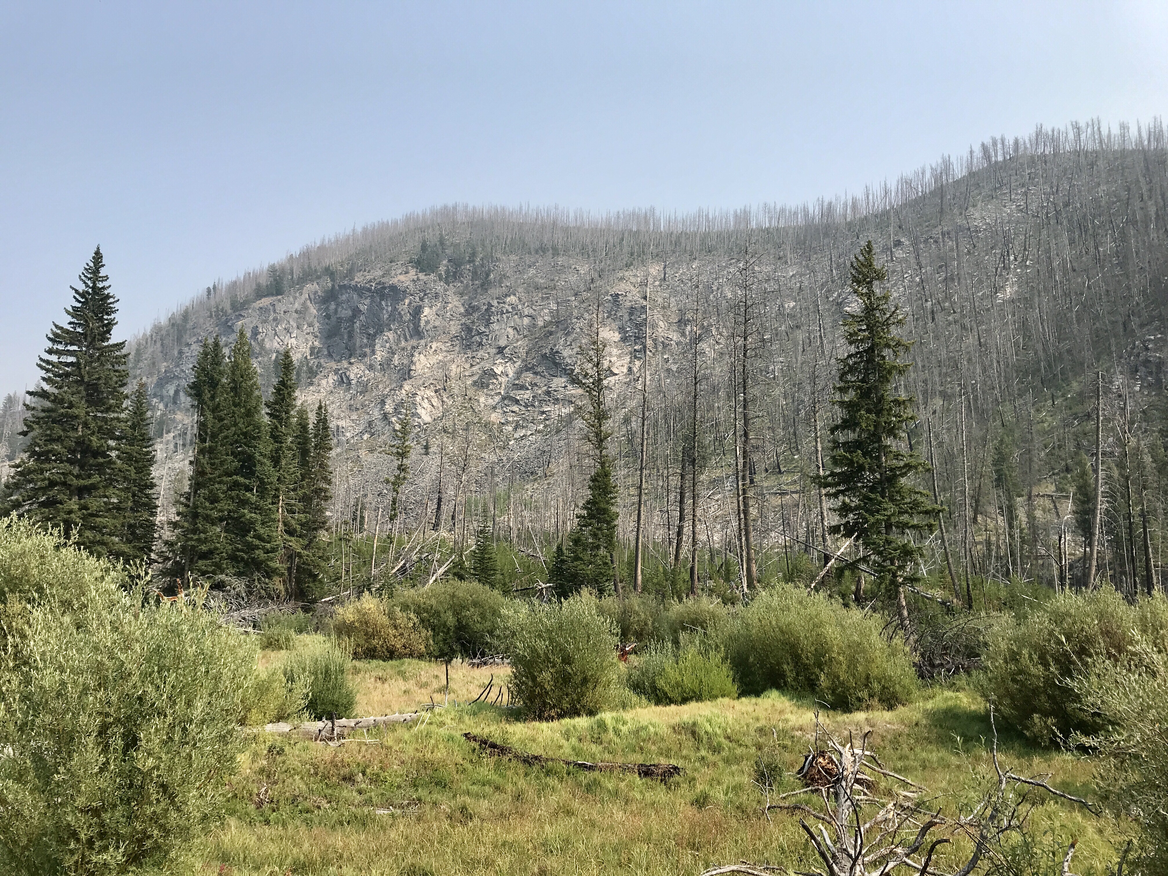
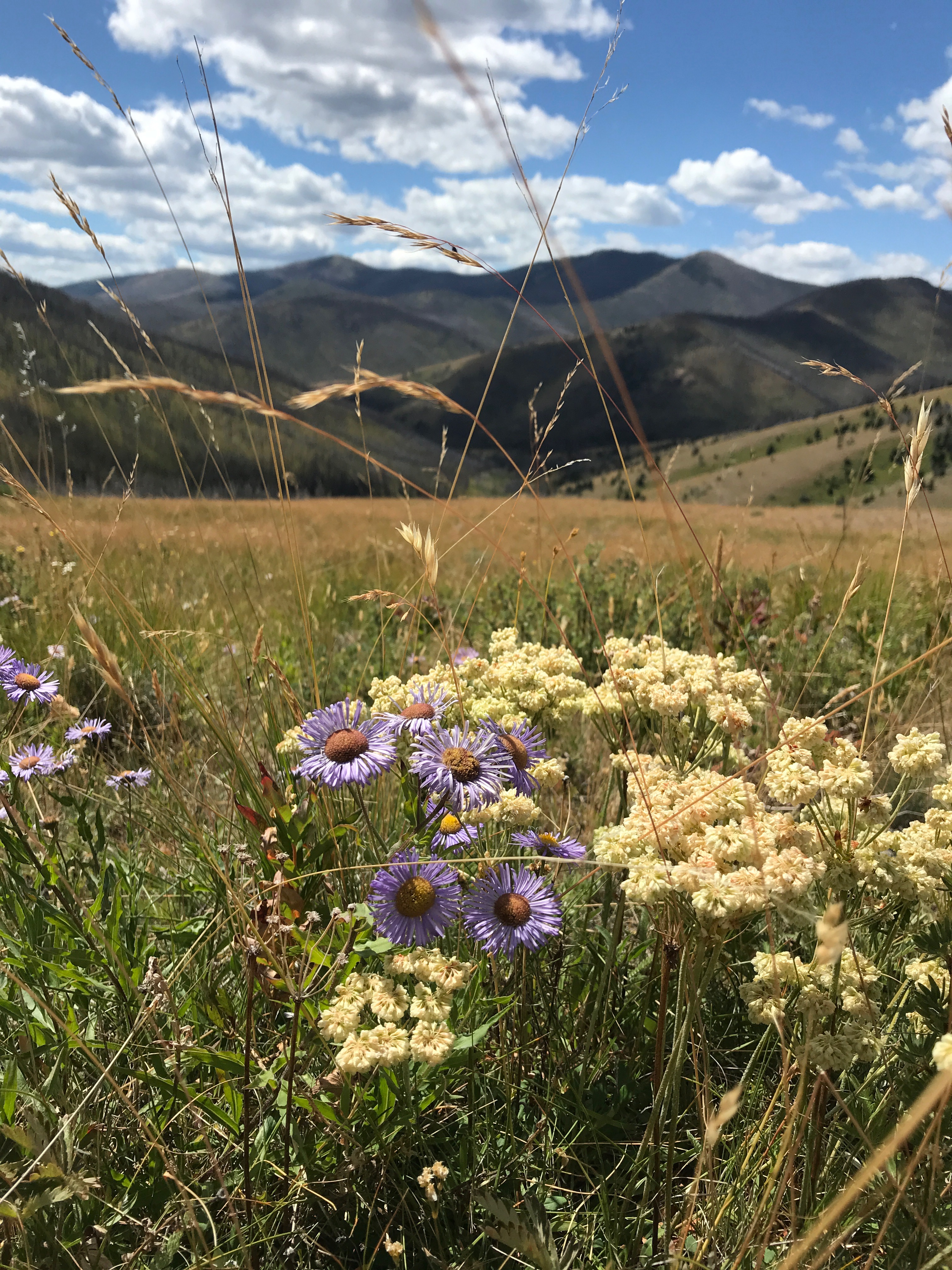
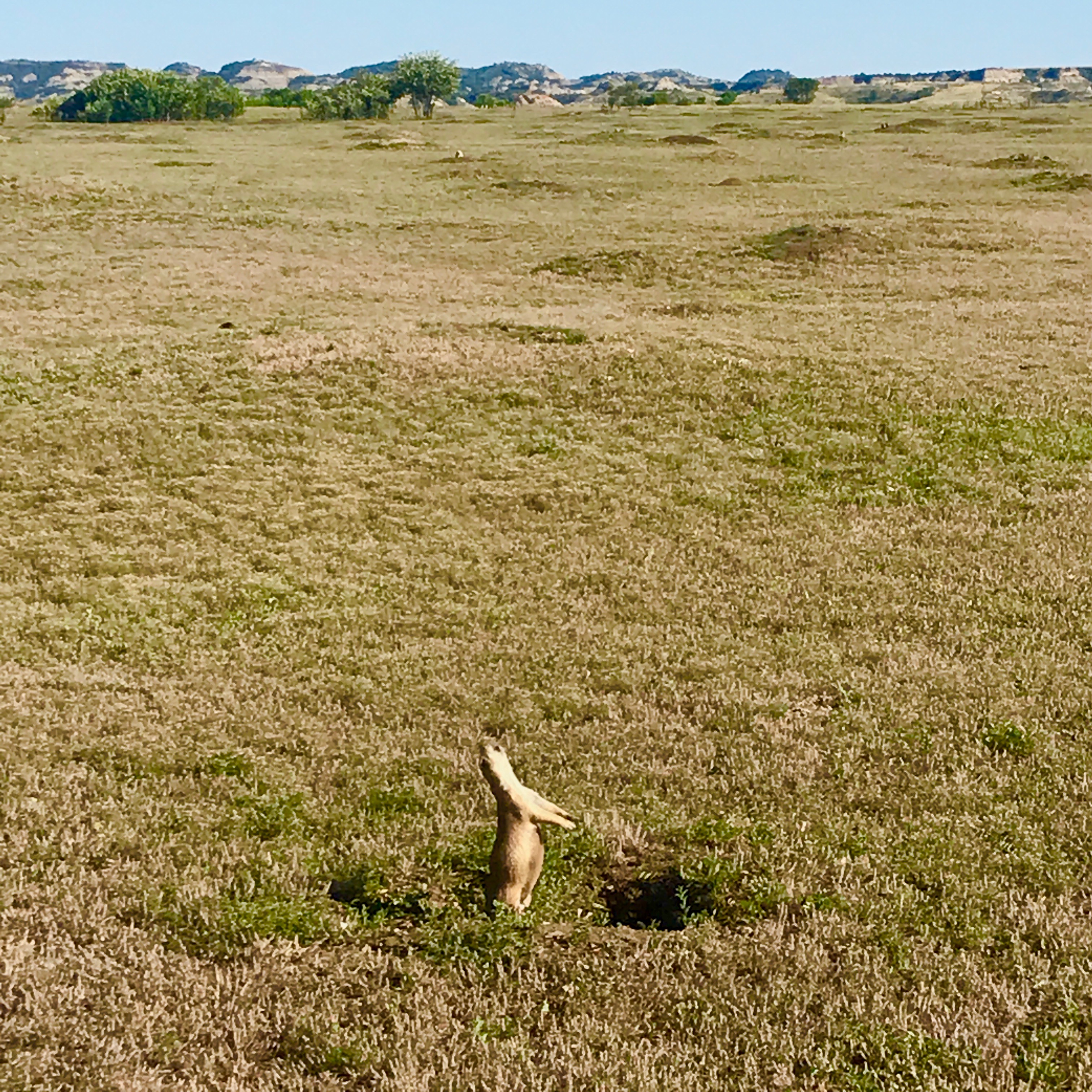
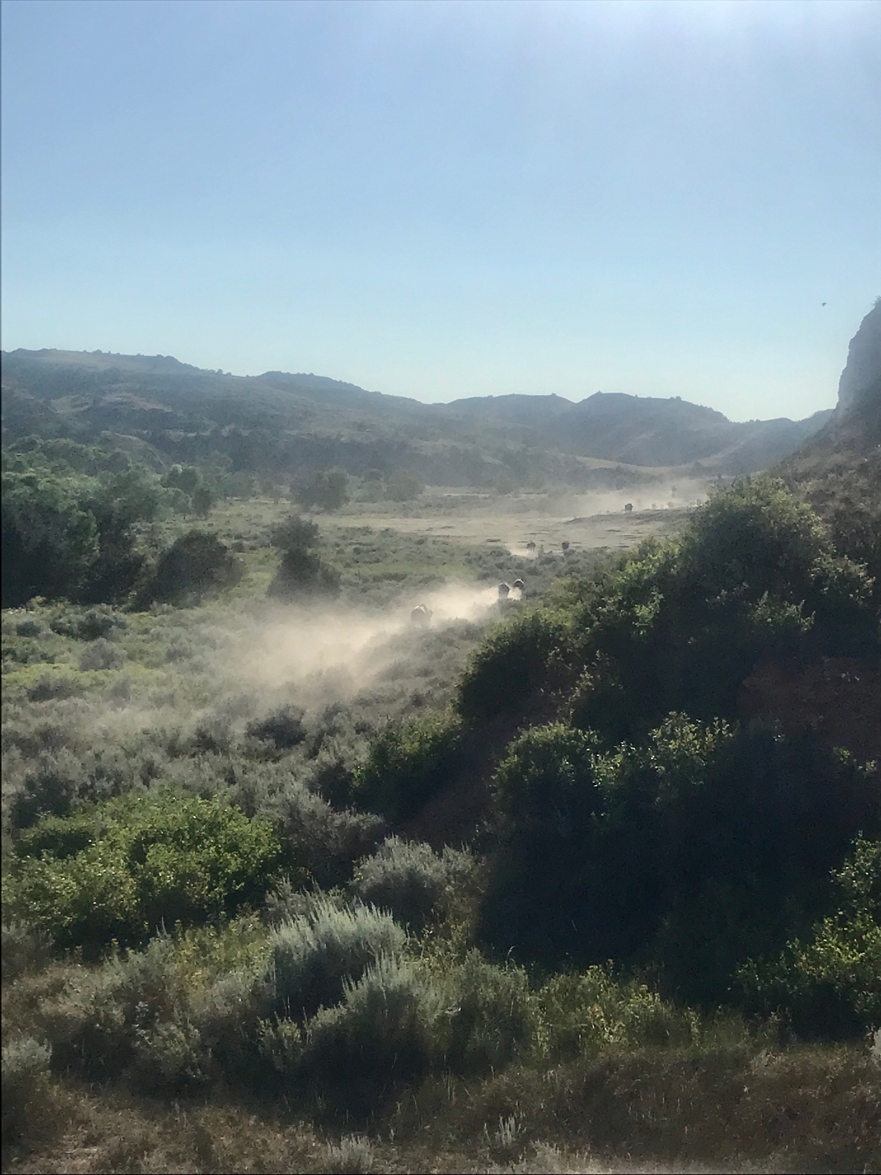
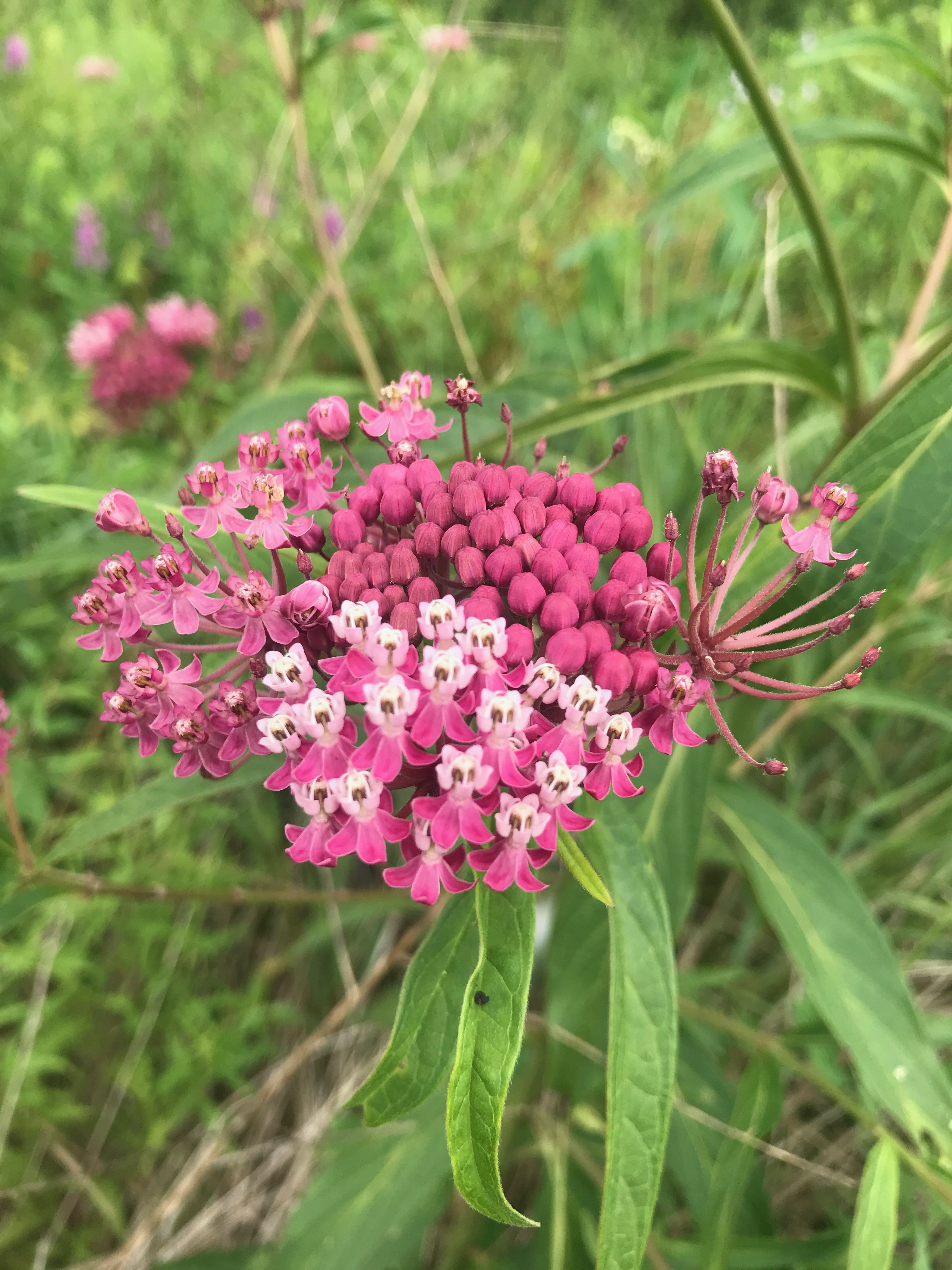
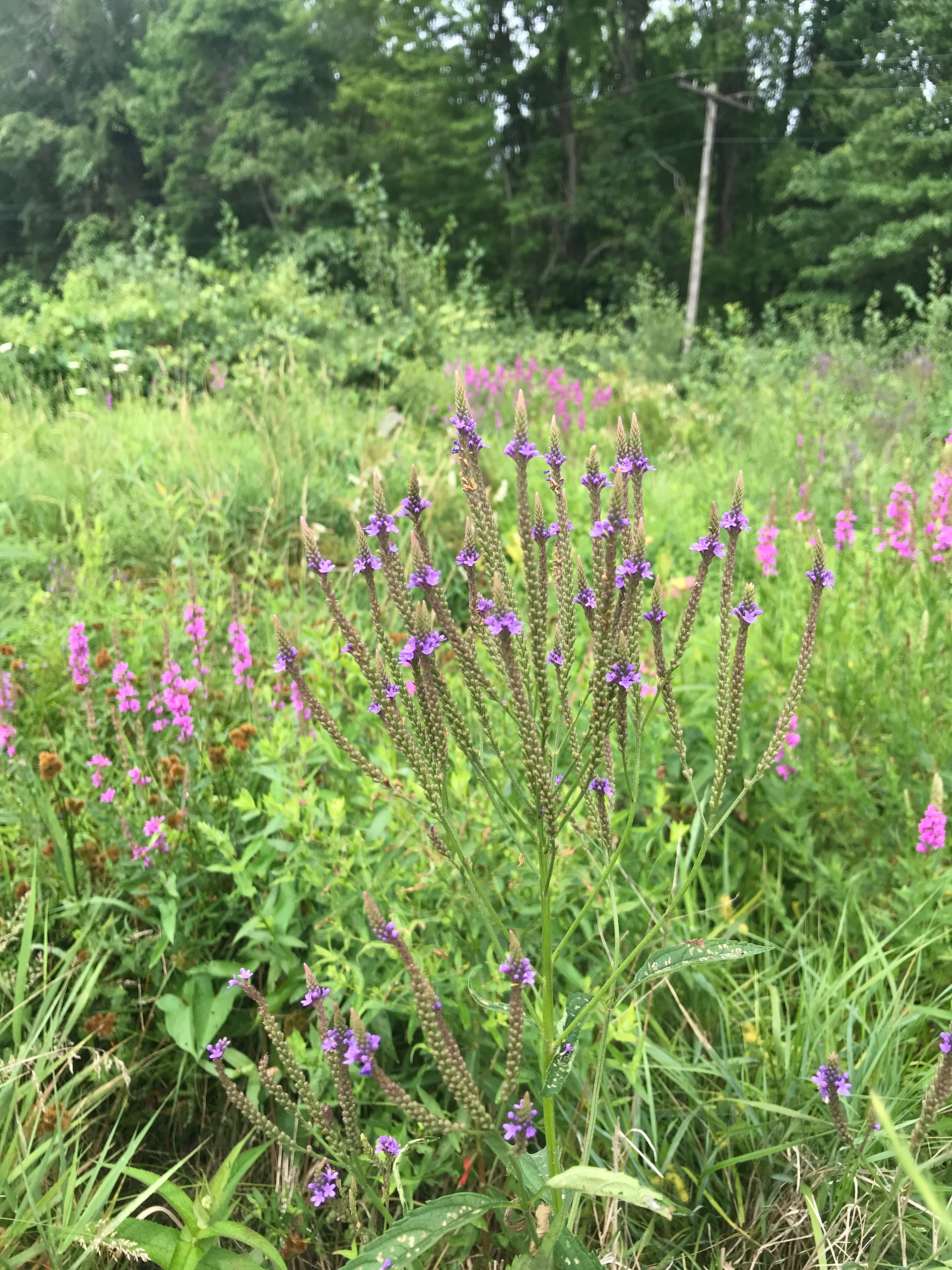
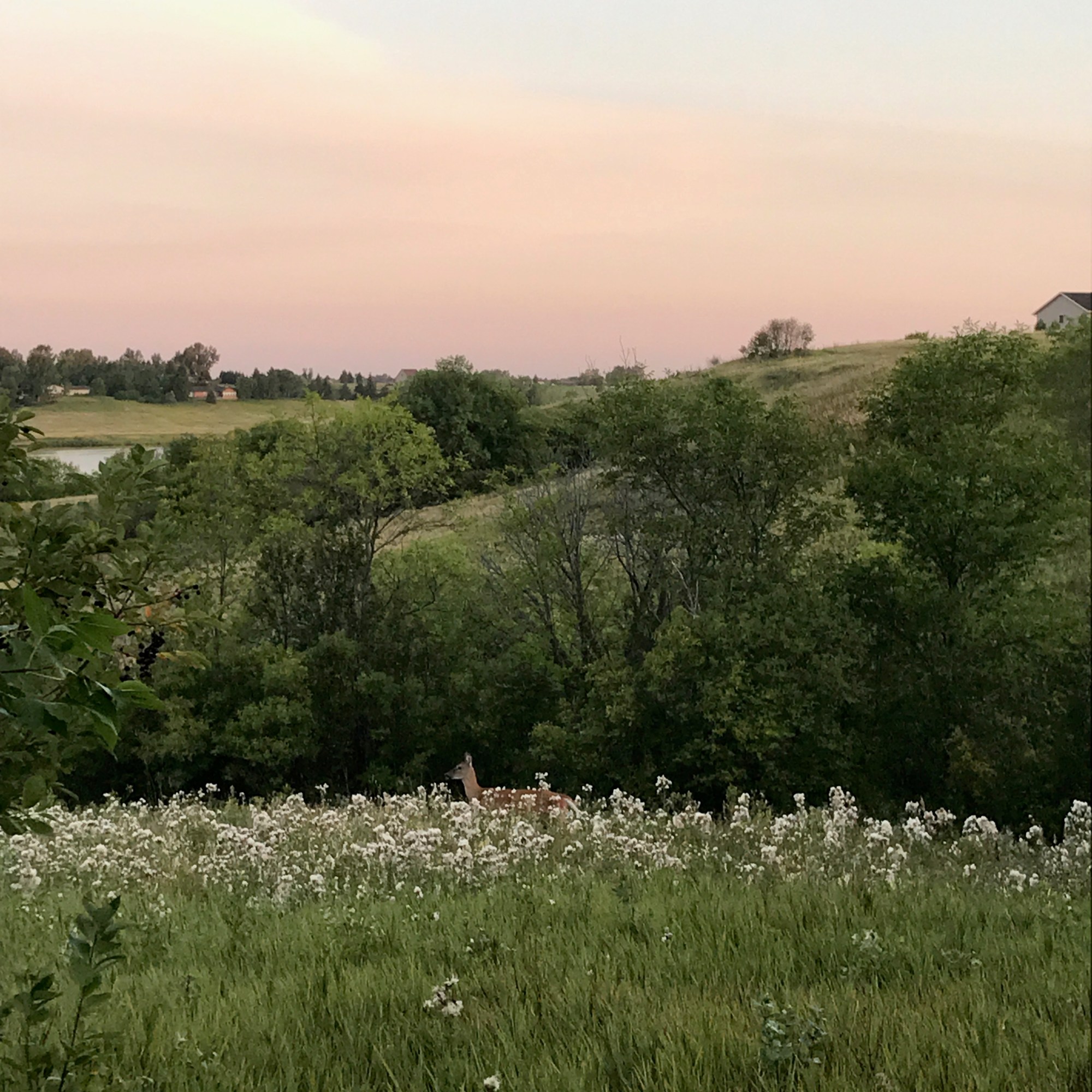
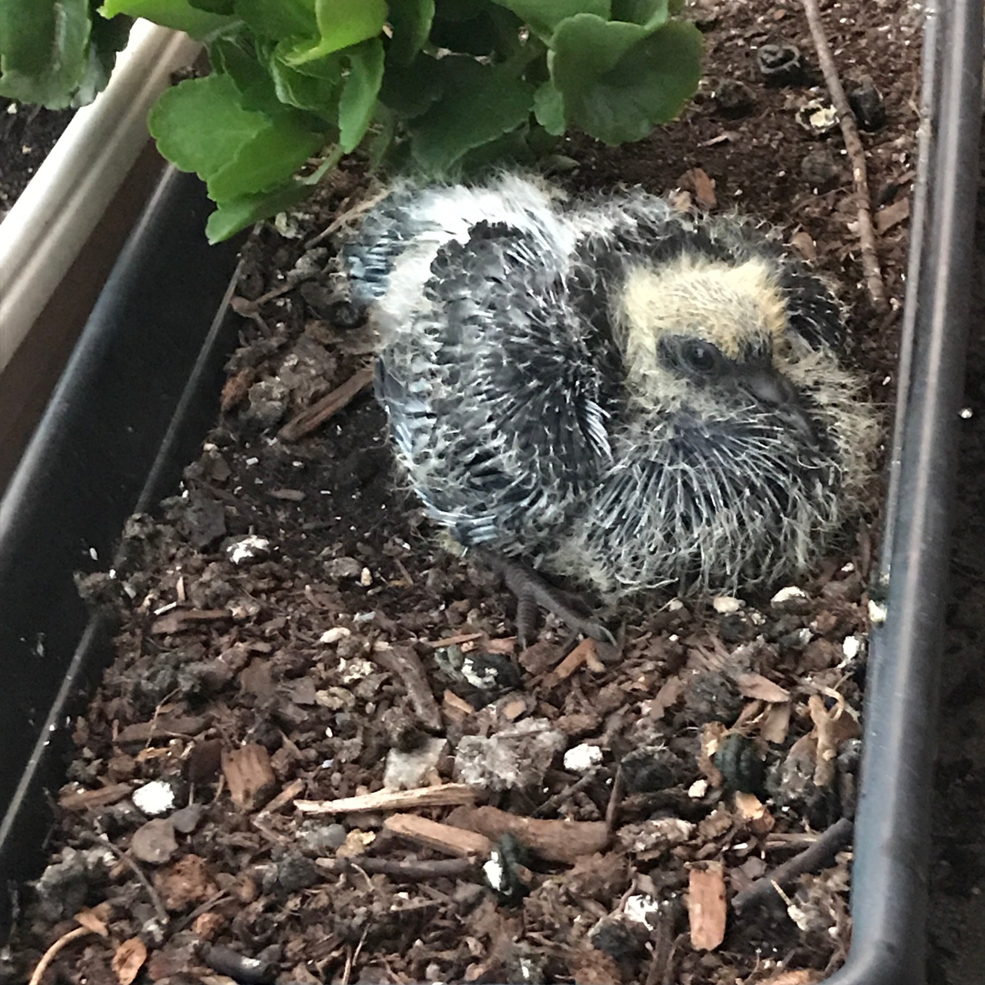
During our trip, it was clear this mining operation had altered the land, which was now slowly returning to a more natural place.  But I also wondered how it altered the lives of the Shoshone tribes who had once thrived on this land. The Shoshonne-Bannock ceded some of their land in 1863 and 1868 through the Fort Bridger Treaty. Previously, they had used this land for hunting and gathering, fishing in the stream, collecting native plants, and maintaining herds of bison.  The land must have been a marvelous space cared for by all. It seems to be returning to something similar today.

Exploring Western Montana

We sadly left Glacier National Park about a week ago, but we will be back! There is so much to explore in that magical place, so many mountains to still climb. The eastern and southern parts of the national park were closed because this is Blackfeet Nation’s land. To protect their people, they chose to prohibit public access. We respect and support their choice and look forward to continued success. When is it safe, we will return to explore more of this sacred place. For now, we are on our way to Yellowstone.

Our travels over the last week have been a day to day adventure. Without any reservations or real plans, we have been making nightly decisions as to what to do the next day. This is challenging for me, the constant planner and schedule-oriented individual I am, but I am embracing the discomfort! I am learning to be flexible and to relax during unpredictability. This “vacation” is also an intense journey in self-growth. Haha

Our first day away from Glacier we were only a few miles down the road in Kalispell. We ran errands – gas, grocery shopping, air in the tires, and eventually wound up at another cidery and then brewery. Cider for me – beer for my parents. Rough Cut Cidery had a variety of fruit flavored ciders, my favorite being the Passionfruit Peeler. Bias Brewery apparently had a good Coconut Stout – you’d have to ask my mom for details. She is the connoisseur. I enjoyed a yummy rice and veggie filled bowl and watched the Celtics. They won – yay!

On our journey south to Yellowstone, we also stopped at Flathead Lake to kayak. Now, here is a good story of how social media only tells one part of the story. If you look at our pictures, you’d guess we had a fabulous time kayaking on the blue green waters of this lake, surrounded by rock faced mountains. Sounds nice, right? I was nice to get out on the water, and I do love to kayak, but no sooner had we left the shore then I learned my kayak enjoyed turning to the right much more than to the left. Stubborn, I decided to work through it instead of letting my dad exchange it for a different one. (I’m working on asking for and accepting help – haha). We made it across the lake to the beach at the state park and stretched our legs. The rainbow colored rocks were beautiful and I felt accomplished rowing the defective boat across. Then, the real fun started. The wind had picked up significantly, which mean sizable waves on this expansive lake. Now paddling back became more of a workout than a relaxing excursion. You couldn’t stop to rest for more than a few minutes without being pushed back the way you came. So we trudged forward, one stroke after another, to get back to the dock. When we arrived, I couldn’t get out of the kayak fast enough! So, just remember, Instagram and Facebook don’t alway tell the whole truth. 😉

That night we ended up at a Harvest Host spot – The Silver Knot – which made up for the frustrating kayak experience. Typically a wedding venue, the owner is trying out hosting campers while the wedding business is on hold. Set on a ranch with an epic mountain backdrop, this was the perfect place to relax. We enjoyed a calm evening talking to the host – a retired Coast Guard helicopter mechanic,and to a fellow camper – Alan who entertained us with his guitar. His dog Bo was great company and the owner’s dog Archie kept us laughing. The sunset was firey and the sunrise was beautifully angry as a thunderstorm rolled in. I hopped down from the pop-up very quickly after my dad’s warning! It was a special spot that I would certainly return to.

Since then, we’ve stayed at a few National Forest campgrounds, down dirt roads and away from cell phone reception. It’s been good to disconnect. We did have an unfortunate confrontation with a fellow camper at one site, but it happens sometimes when everyone is sharing space and facilities.

One day we hiked from the campground up the creek to a quiet lunch spot and another day we hiked to Hidden Lake from the Sawtooth Trail. The trail to the lake took us through a new growth forest full of pine and cotton wood saplings sprouting up after a 2003 forest fire. Even 17 years later, the damage from the fire that burned for 5 months and cost $3,700,000 in fire fighting efforts, is visible. The devastation is unreal and reinforces the importance of respecting nature. It also demonstrates how resilient Mother Earth is, fighting to rebound each time. Contemplating this all, we slowly ascended the mountains, traversing switchbacks until the view opened onto the lake. Current forest fires burning in California, Idaho, and Wyoming are creating a lot of smoke and haze here, obstructing views, but the lake was still a peaceful blue green and enjoyable spot for lunch. Except for a man fishing and his wife reading, we had the place to ourselves. We rested for a while and then hiked back down to the car. No wildlife this time, but plenty of wildflowers and interesting marks on trees. At first we thought they were from animals digging for bugs to eat, and some may have been, but most were uniform and along the side of the trail. My dad speculated they were the western form of trail markers. Pretty neat!

In between our hikes we spent time visiting small towns along the highway – Stevensville, Hamilton, and Darby – chatting with locals and supporting businesses. We checked out a local book store (where of course I bought two new picture books), a mercantile, a hardware store, and a few gift shops. I spotted a cafe with gluten free ice cream from Sweat Peaks and had to indulge! Salty caramel and cupcake ice cream were the perfect cool treat to beat the dry heat.

Lately we’ve driven down a lot of bumpy, dusty dirt roads to find adventures and escape the crowds. We’ve taken things slow and enjoyed the wide open spaces. There is a reason they call Montana “Big Sky” country. The land of the Salish and Kootenai (Flathead) tribes has been very special.

Glacier National Park: Florence Falls

Looking for another day of solitude, we ventured to the far side of the Going to the Sun Road to hike a trail recommended by a local. We parked easily at a glacier overlook and began the trail down to Florence Falls.

The trail slowly slopes down for about 600 feet until it flattens out at the base of the mountains. Narrow and overgrown with foliage, the trail winds along the creek for miles. Small waterfalls and swimming poles with ice cold water popped up every now and then. A suspension bridge guided us across the creek at one point. And majestic mountains rising above us peaked through the trees every now and then.

This part of the park is bear territory. Before you start to worry, no we did not encounter any. We were prepared though with our bear spray and voices. The most important thing to do is to let the bear now you are a human. So as we walked through the greenery, we called out various versions of “Hey bear!” At times it was sing-songy, at times in different languages, or at times with different greetings like “Howdy!” and “Hello!” My dad at one point started to feel like we were leaving the other creatures out, so every now and then we added in, “Hey moose” or “Hey ground squirrels” just to make everyone feel included. 😉

We weren’t the only ones making noise – the few others we passed were yelling their own variations of “Hey bear”, clapping, or simply carrying on slightly louder than usual conversations. And it worked – that’s not to say I didn’t jump or screech a little every time I heard the bushes rustle or a bird tweet. Haha.

At times the path widened and we caught a glimpse of the creek or a wide marshy area. Shiny, bright blue huckleberry bushes and velvety soft, juicy raspberry plants were a special treat along our hike, filing our tummies with sweet deliciousness and turning our hands all shades of blue and red. For most of the time, the it was a narrow one lane path directing us to Florence Falls. As we neared the falls, the flora and fauna grew lusher and taller, and we pushed through an overgrown trail.

At a few points I wondered if all this bushwhacking was worth the effort as it was tiring and uncomfortable, but before long we arrived at Florence Falls. And we were not disappointed. The water gushed over a steep rock face for hundreds of meters above us. It cascaded down a series of long steps to a relaxing pool at the bottom. And the best part, we were the only people here!

We dropped our packs, took off our shoes and dipped our feet in the refreshing water. They were quickly numb, but it felt so good as the sun rose in the sky and temperatures climbed into the 90s. Lunch was enjoyed at this peaceful spot with only the sound of falling water in the background. We had this little piece of heaven all to ourselves for almost an hour.

Eventually we started the long walk back to the car, which was relatively easy until the last mile. Remember that 600 feet that we descended to reach the trail? Yes, we had to climb that to reach the car. At this point it the day, it was hot, hot, hot and we were tired, tired, tired. But I kept thinking of the spectacular Florence Falls and cold water, and eventually made it to the top. It was a fantastic last day at Glacier National Park.

Glacier National Park: McDonald Creek

Feeling a little sore, and tired of the long drive up the Going to the Sun Road, we opted for an easier hike – both in difficulty and location.  Additionally, we wanted something less traveled.  Some peace, quiet, and isolation were in order.

We choose the McDonald Creek Trail at the northern end of Lake McDonald.  It was a great choice – we were the only vehicle in the parking lot and we probably saw at the most 10 people on our 5 mile trip.  The best.

The trail traveled alongside the creek with roaring water as peaceful choir.  It was chilly and beautiful.  Relatively flat, we meandered through the forest, admiring the ancient trees stretching straight up above us towards the sun.  This forest is the easternmost most range of the western hemlocks.  Some of the hemlocks and cedars are 500 years old and reach 100 feet into the air.  It was quite amazing to think about how time passes and how our life is so short in comparison to certain things in nature.

We also were delighted with wildlife again on our walk.  This section of the park is protected harlequin duck nesting territory.  While we didn’t see any ducks, we did see signage marking restricted areas to provide them with peace.  A little further on, my mom all of the sudden whisper yelled, “Paul, Shannon!” and waved for us to take a few steps back.  She had spotted a moose!  Down in the marshy swamp area, through the trees, a young moose was standing in the water, gulping up the fresh water and eating some plants.  We were able to stand and admire it for a while, before it slowly loped off into the distance for the rest of its day.  Another animal on my list checked off!

The path from here continued to wander through the forest, down a path that turned soft under our feet.  The forest floor was covered in lime green moss, reminded me of a magical fairy land.

Eventually we reached the end of the trail and wandered down to the water.  A series of rock outcroppings lined the shore and we found a good spot to rest and warm ourselves in the sun.  I laid down, with hat, gloves, and coat still on, to bath in the warmth of the rays.  We enjoyed the small waterfall and glacial potholes carved out from many seasons of rushing water after the winter melt.  We hung out here for a while, and my dad even dozed off while sitting next to the waterfall.  Only Paul Tonelli would manage that!

Feeling rejuvenated and relaxed, we enjoyed the walk back, shedding a few layers as the sun warmed up the earth.  Many people had come out to enjoy the small creek beaches near the beginning of the trail, but we had had plenty of alone time so we didn’t mind.

This part of the park was different from the mountains we had previously explored, but equally fulfilling.  It was a great way to enjoy the outdoors while resting our muscles.  Glacier National Park hasn’t disappointed at any turn yet.

Glacier National Park: The High Line

After a day of much needed rest, we woke up before the sunrise to drive into Glacier and get a coveted spot at Logan Pass.  The Logan Pass Visitor Center, situated in the middle of the park at the top of the Going to the Sun Road, is a busy location as many hikes begin from here.  Due to COVID-19 restrictions and precautions, the shuttle busses are not operating in the park this year, which means everyone needs to drive in order to access the sights and hiking.  It also means Logan Pass parking lot fills up by 8:15AM.  So, to ensure a spot so we could hike the High Line Trail, we left at 6:30AM and watched the sunrise as we drove through the mountains.  And it paid off, we got a spot.

Now, I am feeling very confident driving the Solis, even up and down the windy park road, but parking is another story.  Pulling the 19’ 9” van into a regular parking spot is nerve racking to say the least. After two attempts in two different spots, I admitted defeat and handed the wheel over to my dad.  He, directed by my mom, successfully maneuvered into the spot with room to spare.  Thank goodness for team effort!

After a deep sigh of relief, we geared up with our winter hats (yes, I said WINTER hats), gloves, and jackets to hit the trail. Northern Montana weather has huge temperature swings in the summer, often dropping into the 40s and 50s at night and rising into the 80s or 90s during the day. So a lot of days we started our hike looking like it was early winter back home. Good thing I like the cooler temperatures – we always seem to have a way of meeting each other on my travels. I don’t think I’d know what to do with a Caribbean weather vacation.

The High Line Trail is a popular route as it’s easily accessible and largely flat, but it is not easy. 7.2 miles round trip, the trail traverses across the mountain most of the way on a ledge. At the beginning, the trail is carved into the stone with a path about 3-4 feet wide and a cable for those craving extra security. The trail then continues across the mountain, sometimes cutting through trees, mostly in the wide open, across the side of the mountain. Once again, we were treated to splendid views the entire way.

The only downside to this trail is that it is super popular.  It means that you don’t have to worry about hiking alone or what to do if you happen to get hurt, which are good things, however it also means that you are frequently pulling over to let people pass as they return or to make room for the speedy hikers you come up behind you.  As someone who is introverted and tends to enjoy nature for its space and solitude, this was at times frustrating.  It is also additionally challenging during this time in history as we navigate the pandemic.  While being outside is considered a low risk activity, it is still a risk that my parents and I are acutely aware of.  Traveling is also a risk (and privilege) right now.  We try to do our part by hiking with our masks and always pull them up when someone passes.  We use and sanitizer before eating and leave all our clothes out to air in the sun after hiking.  Still, hiking a crowded trail is something we will do a better job of avoiding going forward.

Additionally, a few hiking guidelines and tips before I move on. When hiking, always pack at least 2 liters of water and a few snacks, no matter how far or long you are going.  Make sure you have an additional light layer, preferably a rain jacket, as weather is always unpredictable.  As a general rule, the uphill hiker, or outbound hiker, has the right away.  This person might pull to the side because they need a break, but if you are returning or going downhill, you should make the first attempt.  It is harder to restart upward momentum.  And finally, leave no trace.  Basically this means leave nature the way you found it – don’t build cairns (rock towers), take souvenirs, or leave any kind of trash, including toilet paper and fruit cores.  Anything you bring in, pack out.  For more information, check out the Leave No Trace website linked here.

You may see large cairns built by rangers and trail maintainers on mountain peaks and across meadows where it is difficult to mark trees or leave posts to guide hikers.  These are created carefully, purposely, and with respect for nature.  Building additional cairns can first and foremost confuse a hiker.  Additionally, it disrupts the fragile ecosystem and can lead to erosion. So whether you are on the trail, at a river, or an a lake, resist the temptation to build a rock tower out of respect for nature.  Ok, TEDTalk over.  Thanks for reading.

Back to the trail. When we arrived to the end of the High Line Trail, we hiked up a few switch backs to the viewpoint, and then climbed up a knoll a little further for a lunch spot free from crowds. As we settled in to eat, a doe wandered around us and a few ground squirrels kept sneaking up for fallen lunch bits. A good reminder to leave the wild wild – this was cool to be so close to these gentle creatures, but certainly not natural behavior. We refrained from feeding them, and instead admired their beauty.

As we began our journey back, we noticed a couple with a camera looking up at the distant rock cliff face of the mountains.  We ventured over to see what they were staring at and were rewarded with distant sightings of bighorn sheep! With my camera lens fully extended, I could make out their movements along the rock ledges and their brown, curved horns.  After admiring them for a while, we headed farther down the path and caught sight of mountain goats! You wouldn’t believe the rock surfaces they are able to scale with ease.  These were two of animals on my bucket list to find and I accomplished it in one day.  Success!

The walk back was busy, yet uneventful. Back at the car we changed out of our boots and drove the 30 miles down the Going to the Sun Road to our campsite. To say we were tired would be an understatement, but it was a good tired. Nature fills my heart and soul. And the next day would definitely be an easy hike!

Glacier National Park: Piegan Pass

The grandeur and beauty of Glacier National Park is unrivaled. The mountains jutting up in every direction are spectacular. By far, this is my favorite part of the trip to date.

On our first day we rose (what we thought was) early to head into the park. By 8:00AM, there were already lines forming at the entrance. Everyone wanted to explore the beauty of the park. We didn’t let crowds deter us though and headed forward to Siyeh Bend on the Going to the Sun Road.

Now, let me tell you a little about the Going to the Sun Road. Completed in 1933, it connects the west and east sides of the park. How this road was constructed is difficult to fathom! First, your vehicle cannot be longer than 21 feet or wider than 8 feet – it’s narrow. Second, the speed limit for most the road is 25 miles per hour – what does that tell you? It snakes up and down the mountain side within the park, lending itself to majestic views if you’re the passenger. If you’re the driver (like me), keep your eyes on the road and hands on the steering wheel! I hugged the yellow center line going up and down, carefully rounding corners and passing cars. On one side is a short guard rail separating you from the cliff and on the other side is a rock wall. When we got to the parking spot, I let out a huge sigh and felt pretty proud of myself. Kuddos to all the workers who contributed to this masterpiece.

Yes, that is the road!

It took us about an hour to reach this part of the park, and when I said it was busy early, I meant it! Logan Pass, the visitor center and major parking lot in the middle of the park was already closed by 9:00AM. Feeling nervous about our parking prospects at the trailhead a few miles ahead, we continued cautiously looking for any open spot. We eventually found one ahead, about a mile from the trailhead. I guess our 10 mile hike was about to be 12 miles. Eager to begin, we headed down the windy road to locate the trailhead.

The trailhead to Piegan Pass began at the bend and headed down to a stream that gushed under the road. All geared up, we slowly trekked next to the stream and around the bend, up into the woods.  The trail slowly climbed back and forth through the forest, treating us to snowfield blanketed stone mountains every so often.  After we turned left at the trail juncture, we were greeted repeatedly by lovely wildflower meadows in the subalpine terrain.  Yellows, pinks, purples, and greens spread out between the trees and across both sides of the path as we hiked higher and higher.  We are delighted to see a wide variety of plants – pale yellow columbines, purple asters, false sunflowers, tall fluffy white ones, paintbrushes, and more.  I just wanted to skip through the fields!

As we climbed higher, the temperatures dropped and we soon found ourselves walking along a ledge cutting across the mountainside.  Open to the beautiful views, we were reminded just how small we are in this world.  There is so much to admire, respect, and nurture.

Soon we came upon a snowfield in the middle of the path, a unexpected but welcome adventure.  We cautiously walked across, firmly planting each foot as we went.  To think there is still snow in August!

Miles later and with tired legs, we reached Piegan Pass and were rewarded with stunning 360 views of the epic mountains.  Rock giants erupted from the earth with sharp, pointy peaks.  Horizontal stripes of gray, black, white, maroon, and brown crossed the stone. We found a cozy spot protected from the wind and settled down to eat lunch.

After resting, and before heading back, we walked the few hundred yards to the other side of the pass to see what else this magical place had in store for us.  It did not disappoint.  The other side looked down into a valley where a waterfall filled a brilliant blue glacial lake below.  The colors were unbelievably bright from the rich minerals of the snowmelt.

The walk back treated us to more stunning views and a few friendly ground squirrels scurrying ahead of us down the trail.  My dad generously offered to hike ahead and up to the Solis, a mile from the trailhead, to save us from the tough uphill hike.  Without hesitation we accepted his offer!  We met him down at the turn around when we were all done and headed back the spectacular (and terrifying) Going to the Sun Road to our campsite.  Many miles of 25 miles per hour, we were back and had a splendid night of rest.

Montana

Another 350 miles and another state on the list! After departing Theodore Roosevelt National Park in North Dakota, we hit the highway for our next destination, the one we’ve all been waiting for – Glacier National Park. Of course, like everything else out west, the distance between the two parks was immense and it would take several days of driving. So, we made a few stops along the way to enjoy different parts of Montana.

Our first break spot was Billings, Montana. We rolled into a Cabela’s parking lot one afternoon to take advantage of their free RV parking. They even had a dump station and water hookups! It was a great find right off the highway. After a quick rest, we piled into the Solis (much easier to drive to a downtown area – we can fit in a normal parking spot) and drove the few miles to the center of Billings.

The downtown area is in the midst of a revival with lots of restaurants and microbreweries popping up on every street. I was in heaven because they had a cider spot, Last Chance Cider Mill. We popped in for a tasting and were not disappointed! Later, to satisfy the beer cravings of my parents, we went to Carter’s Brewing Company. If this is also your jam, I recommend a trip to Billings, MT. We finished the evening with authentic Mexican food at Don Luis and drove back to our “home” for the night to rest up for another big day of driving.

On day two of our trek across Montana, we logged another 350 miles to reach Lincoln, MT and the serene National Forest, Helena. Driving down the two lane highway, rising mountains covered in dark pine trees greeted us on each side. The uninterrupted nature was exactly what my heart had been longing for. Eventually we pulled into Aspen Grove, a national forest campground, and found two spots hidden in the woods. It was peaceful and serene, off the beaten path. A true place for rest and relaxation for the next two nights.

The idyllic setting made it the perfect opportunity to sleep in the pop up top of my RV! It was quiet comfy and cozy, hover in Montana in the summers the temperature drops into the 40s and 50s, so it was a bit chilly! Never the less, I enjoyed the new setting and maybe with the addition of a warm sleeping bag would do it again. Haha.

The next morning we set off for a remote hike recommended by some locals. We found Alice Creek Road and drove down the dirt road, through a few ranches, and into the middle of Helena National Forest. About 10 miles later (a some worry that we were lost), we finally arrived at the Lewis and Clark Trailhead to hike to the pass. This was my type of hike – almost no one around and beautiful scenery the whole way.

A major difference between hiking here, in the West, versus back home is that views from the trail are more scenic. Typically in New England, you have to wait until you reach the summit to have any type of a view. Here, at least so far, the trails are narrow but rarely treelined and you can see mountains and forest in all directions. The sky really does seem bigger here.

The trail we traversed was one of the main routes Lewis and Clark were guided on by first peoples, including Sacagawea, as they explored the newly purchased land from the French. We were hiking to a viewpoint where they could see the next leg of their trip.

As we climbed higher in the mountains, we came upon a large burnt section of the forest, one that had previously been subjected to a forest fire. While it was devastating to see the destruction that had occurred in years past, it was also lovely to see the new life taking shape. Small saplings sprouted up, wildflowers blossomed, grasses grew. Nature is an amazing thing.

This beautiful land once belonged to the people of the Blackfoot, Salish, and Kootenai tribes. The many people of The Blackfeet Nation now reside on the Blackfeet Indian Reservation in northern Montana and have since a treaty was signed in 1855, growing many crops including wheat, barley, and hay. It is one of the ten largest tribes in The United States and working hard to protect its sacred lands. Additional information can be found here. The Confederated Salish and Kootenai tribes today also largely reside in Montana on and near the Flathead Indian Reservation. They were forced onto this land, and lost millions of acres, when their chiefs names were forged on a treaty in 1855. The confederation continued to fight and found ways to protect what little land and culture it had left. They created the first Tribal Republic Council in 1934 and have been finding ways to be innovative ever since. Additional information can be found here.

Acknowledge the history of this land, and how it has changed, it important to understanding the work that needs to be done to truly achieve the ideals our country was built upon. Whether we are hiking, having a windy lunch at a peak, or a campfire and night of rest, I am constantly reflecting.

Theodore Roosevelt National Park

Last week we arrived at Theodore Roosevelt National Park, ready to hike, only to find a defect in my RV. Not even a week old and the refrigerator was already falling out of its cubby! After lots of desperate phone calls to Winnebago dealers (the closest 180 miles away!) with no appointments available and lots of tears, we were able to find a local RV repair shop about 30 miles away willing to try and help. Luckily Winnebago approved the independent dealer to work on my vehicle and we set off the next morning to Kuntz RV in Dickinson, ND. Willie and his team were extremely helpful and kind. They set to work immediately reinforcing the wood under the fridge, screwing the unit back in with longer screws, and cutting a board to brace the appliance along the floor. I will forever be indebted to them for their speedy work and attention to detail. If you are ever out here and need RV repairs, I highly recommend Kuntz RV.

Feeling relieved our trip wasn’t completely derailed, we headed back down the highway to the park for an afternoon hike. We traveled down the loop to Peaceful Valley Ranch. We filled out water bottles, slathered on sunscreen, and laced up our boots to hit the trail.

About half a mile in we came to the Little Missouri River, with the trail continuing on the far bank. Always up for an adventure, we took off our shoes and socks to wade across in the warm, shallow water. It felt nice to rinse off our feet.

On the far side, we picked up the trail and continued across the grasslands. Soon we came to a prairie dog town that stretched on in all directions. Little dirt mounds with holes in the center dotted the grasslands, sometimes coming up right on the edge of the trail. Prairie dogs waddled and scurried from mound to mound, watching us from just above the tunnel, seeing if we were friend or foe. They squeaked their warning calls with their trails rapidly beating back and forth. Sometimes, to make sure they got volume and power behind their alarm, they stood on hind legs and arched their backs. Those prairie dogs who weren’t worried about us, grazed in the grasses, picking up little treats to nibble on with their paws. We encountered communities like this at nearly every flat area along our hike! They were adorable to admire from afar, but we made sure not to get too close. The fleas that hitch a ride on prairie dogs can carry diseases like the bubonic plague! So, best to leave the wild animals wild.

On we went, across plateaus with gorgeous views of mountains and domes created over decades and centuries from erosion. It is amazing to think how powerful Mother Nature is. Each day the earth and landscape are changing, yet we barely notice it. It’ll be interesting to look back at photos years from now to see if there are any noticeable changes.

Nearing the end of our 5 mile hike, hot, tired and happy, we rounded the corner to recross the river only to be confronted with a large bison herd! First in line, I immediately stopped, signaled to my parents to do the same and whispered, “Bison!” We were about 25 yards away, the recommended distance, but not much farther. The herd began to migrate towards us. Heart beating, we climbed up the embankment nearest us to get out of the way and reach a little bit of safety. Did you know bison can run at speeds of up to 40 miles per hour?!

Good thing we climbed up, because the herd kept advancing with the bulls huffing and grunting as they passed. Soon the group took off, running into the distance, kicking up dust cloud as they went. Their power and grander were an inspiring sight to see. And of course, it was only amazing because we safe during and after the experience.

We tried to climbed down a few times to head back, but were soon up on the hill again as several groups of stragglers passed through. When it was finally clear, we trekked down to the river, following the hoof prints left behind by the buffalo. It appears they were having an afternoon drink of water.

We crossed the river, this time in our shoes, and headed back to the car. A day that started out difficult turned out to be quite spectacular. A good reminder that you never know what is ahead. Some positive energy can be rewarded.

The next day we got started early and drove the 7 mile dirt road in my (now safe and secure) Solis to the petrified forest section of Theodore Roosevelt National Park. This part of the park was once a swamp like the Everglades, full of animal and plant life. As the geology changed, the area dried up and the trees turned to “stone.” Striped in white, yellows, oranges, and reds, petrified logs and stumps line the trails, some as tall as me! We wandered in and around the structures, trying to stay on the trail to protect the environment. Eventually we made it back to the car for a snack and headed back to the main section of the park.

We drove further around the park loop road, enjoying the scenery of untouched land, and stopped at the Jones Creek Trailhead for another hike. No sooner had we gone 50 yards down the trail did we come across a large bison laying smack dab in the middle of the trail. Of course, I was leading us again and my heart skipped a few beats. The bison was facing away from us, so we slowly backed up and tried to go around the other side of the dome in front of us before it noticed. However, we were about to round the edge of the dome to rejoin the trail when another bison was peeking its ahead out. I stopped dead in my tracks and backed up, all the while this bison was staring me down! Luckily it wasn’t alarmed and we were able to move away to safety. We went way around, into the brush to bushwhack to the path farther down the trail. As we did so, we realized the two bison friends were saw were acting as guards for the herd of about 10 bison on the far side of the dome. They certainly owned that territory for that day!

We continued our hike safely, through more prairie dog towns and grasslands, along the dry creek bed. We climbed to a few vistas and were greeted by views of yellow, red, and gray stripped hillsides. We meandered in the creek bed on our way back to the car, always vigilant. When we reached the start about an hour later, the bison were still guarding the trail! So, of course, we gave them a very wide berth and bushwhacked back to the car. The one bison on guard duty watched us carefully from his post. Back at the car, we revealed in the excitement of bison sightings two days in a row and exchanged words of gratitude for being safe.

Happy, hot, and tired, we headed back to town for some cool sweet ice cream. A buffalo herd crossing the road delayed our trip a little, especially the one who decided to stand in the middle of the road for a while, but we eventually made it to the shoppe! Homemade huckleberry and juneberry ice cream was exactly the right way to end another day at Theodore Roosevelt National Park.

This park was definitely worth the visit. It is the only park named after a president, a way to honor President Roosevelt for helping to create five national parks. He created more national parks than any other president in the history of our nation. Theodore Roosevelt was inspired to contribute to the preservation of nature after his time attempting (and failing) to be a cattle rancher in North Dakota. There is a separate part of the part where his homestead is preserved. President Roosevelt is quoted as having contributing his ability to earn the presidency to his time in the wilderness.

For the rest of the day, we relaxed at the campground and planned out the next section of our trip. We are headed to Glacier National Park in Montana next!

Just Keep Driving

We’ve logged nearly 1,600 miles and crossed six states in the last six days! We were on a mission to reach Theodore Roosevelt National Park in North Dakota and we made it. Our longest day of driving covered 340 miles and our shortest 240 miles. To say I am tired of driving would be an understatement! I’m looking forward to staying in one spot for a few days and stretching our legs.

Driving along 1-90 to I-94, we passed acres upon acres of farmland. The flat, sprawling land was dotted with lime green cornfields, their wispy yellow tassels dancing in the breeze, forest green soya plants in neatly planted rows, and amber brown hay fields. While I longed for mountains, it was amazing to witness the vastness of the farming industry.

My favorite part was the sunflower fields that popped up here and there. The golden yellow blanket over the land brought a big smile to my face and was a happy change. They seemed to be saying, “Hello! You can do this!” Giving me that pick me up just when I needed it.

While most of our days recently have focused on logging miles to get west, we have sprinkled our days with some sightseeing. The long days and late setting sun (sometimes not until 9PM) have allowed us to truly enjoy each day.

In Vermillion County, Ohio, we set up camp for the night at Vermillion Valley Vineyards, the homeland of the Erie people. We spent the evening enjoying their wine and pear cider, walking the neighborhood, and watching the sunset. One thing I’ve learned is that flat, straight roads are very deceiving. The stop sign often feels “just ahead” but is really a mile away. We earned our beverages that night!

In Indiana, we spent a morning at Indiana Dunes National Park. Set on land that home to a variety of tribes including Kickapoo, Peoria, Potawatomi (also find info here), and Miami. Many of these tribes have active organizations today and are working to reclaim their ancestral lands. This is a relatively new national park whose mission is to reset the earth to its natural habit. There are restoration projects in various areas. One of their biggest goals is to bring native wildlife back to the area. I am happy to report that for the first time in decades, egrets, herons and least bitterns are enjoying the marshes and swamps in the park!

Pushing through the sand, we climbed up and over the dunes to Lake Michigan. The marine blue green water is a serene sight. Waves crashed on the shore and children played in the water. One could easily think this was the ocean, until you saw the outline of Chicago skyscrapers in the hazy distance. The water was cold due to a recent storm, but fun to stick our toes in anyways.

After enjoying the shore, we hiked back to the car (hiking in sand is hard!) and took our bikes off the rack. We packed our bags, filled our water bottles, and took off on the Calumet Trail. Wildflowers, blackberries, and butterflies entertained us along the path until the town of Beverly Shore. Then we departed the path and rode to the lakeshore drive to admire the water once again. Riding along the road we drooled at the houses with lovely views, set high up on the hill. Many had long staircases up to their front doors and tram systems to carry up their belongings. Very helpful! Eventually we made it back to the parking lot, happy we had some time to enjoy the fresh air (and do something other than drive!). Then, of course, we hit the road.

Driving through Illinois and Wisconsin on the following days was largely uneventful, but in Minnesota we took time to explore Munsinger Gardens in St. Cloud. This land originally belongs to the Anishinabewaki, Mdewakanton, and Sioux tribes. Today, this part of the city is a beautifully maintained collection of plants and flowers, it spans several city blocks. Think of a type of flower, and it was probably there! I took loads of pictures, but unfortunately I can’t get them to transfer from my camera currently. I’ll share at another point!

This morning we left Jamestown, North Dakota (Yanktonai and Sioux territory), where we had spent a restful night at a lovely county campground. My mom and I enjoyed as early morning run as the sun rose and were greeted by a deer having breakfast. Then we prepared for the last leg of our trip (for a few days) and headed to Medora, North Dakota. Can’t wait to share the sights of Theodore Roosevelt National Park with you!

The Beginning

The adventure has officially begun! Yesterday I picked up my home away from home at Flagg RV in Uxbridge, MA. The Winnebago Solis is finally here and ready to safely take me to explore the country. Yippee! It was a long several weeks of waiting for the registration, inspection, and prep work to be complete, and it is finally done. I drove there early in the morning to meet my parents and learn all about how to use the vehicle and it’s systems. The staff was extremely helpful. They are great teachers if I do say so myself! After about 2 hours, I got the keys and drove out of the lot, ready to pack up and prepare to hit the road the following day. If you couldn’t tell, we were eager to get going.

The Solis is a great adventure mobile. It has sleeping room for four with it pop-up top, a small bathroom with a toilet and shower, a sink, two burner propane stove, and a mini fridge. I am all set! If you’re interested, you can check out additional details here.

While it also has lots of storage, packing and organizing a 19’9” van/home for 8 weeks was hard work! Fortunately, I enjoy the challenge of packing light. On my last several trips, my goal has been to only bring a carry-on (even four 3 weeks in South America) and so far I have succeeded each time! So, this challenge was the next level and I was ready for it! I’ve got all the gluten free, soy free goodies stored, several books to read, all my hiking gear, and a few stuffed animals to keep me company. I’ll do a van tour at some point in the near future!

For those wondering, The Boys (Timmy, Tommy, and Chester) are comfy at home in my apartment. A dear friend is taking care of them while I’m away, bringing them fresh greens from her garden every day. They will be in good hands.

Also, the baby pigeon hatched and has flown the coop, so all is well there too. The pigeon parents, Jeff and Jenny, who nested on my balcony, took good care of the squeaker (apparently that’s what baby pigeons are called!). Check out the pictures below to see how the squeaker grew. Its appearance at first was quite surprising!

So, with all my furry friends in good hands, and the RV in my possession, I am off on the first long adventure. My parents and I left this morning to start our trek west, with our furthest destination being Glacier National Park in Montana. We have many days to go and miles to drive, but our caravan made good distance today.

Despite being the largest vehicle I’ve ever driven, the Solis is easy to maneuver. I feel very high up, and often as though I am speeding when I’m barely doing the speed limit, but I’m getting used to it. Following my parents in their motorhome has been easy so far as we’ve been largely on highways.

We traveled through three states today, Massachusetts, New York, and Pennsylvania, logging 301 miles. For my followers who love maps, or may just want to track me, we took 90 West to 87 South to 84 West to 81 South and 80 West. Fun fact, did you know all east-west interstates are even numbered while all north-south interstates are odd numbered? Also, I found out that there is no I-50 or I-60! Apparently, when President Eisenhower commissioned the building of the interstate system, it was decided that the east-west interstates would start with the low numbers in the southern part of the country increasing as they went north. To avoid confusion between the new interstate system and the existing US routes, no I-50 or I-60 were created. If they had been, they likely would have crossed the same states as the US routes, causing a lot of confusion and lost drivers! Always learning!

As we’ve driven, rolling green mountains and vast farmland have lined the highways through each state. Little blue and white flowers have been dotted the roadside, bringing me joy. A good playlist and podcast have been my friends.

Tonight we are staying in a Cracker Barrel in Buckhorn, PA. They allow RVs to stay overnight for free! It’s level, clean, and quiet. The view is pretty nice for a parking lot too.

This is the unceeded land of the Susquehannock tribe. (If you are curious about the land you live on or visit, check out this website and enter your location). They lived along the lower Susquehannock River and were masterful canoe builders. The indigenous peoples in this tribe created large towns and lived in longhouses as a close knit community. The were agriculturalists in addition to fishing and controlling the fur trade for a century. There are no known surviving tribe members today, but the history of Pennsylvania is forever indebted to the practices and goodsthe Susquehannock people shared and traded. More information can be found here.

Tonight we ate a delicious dinner of scallops and salmon (my parents are well versed in this road trip/RV life!) and are resting up for another day of travel tomorrow. So far everything has felt very safe. We are very aware that we are traveling in the middle of a pandemic and making sure to take precautions to protect ourselves and others from COVID-19. We are privileged to be largely self-contained on our travels. When we do go into public spaces, we always wear masks, wash our hands, and carry hand sanitizer. We will continue to stay informed about the situation in each location and adjust accordinly.

Feel free to add comments below, ask me questions, or let me know what you’d like to learn more about! Thanks for joining me virtually on this year of travel and reflection.