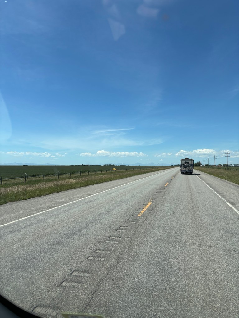
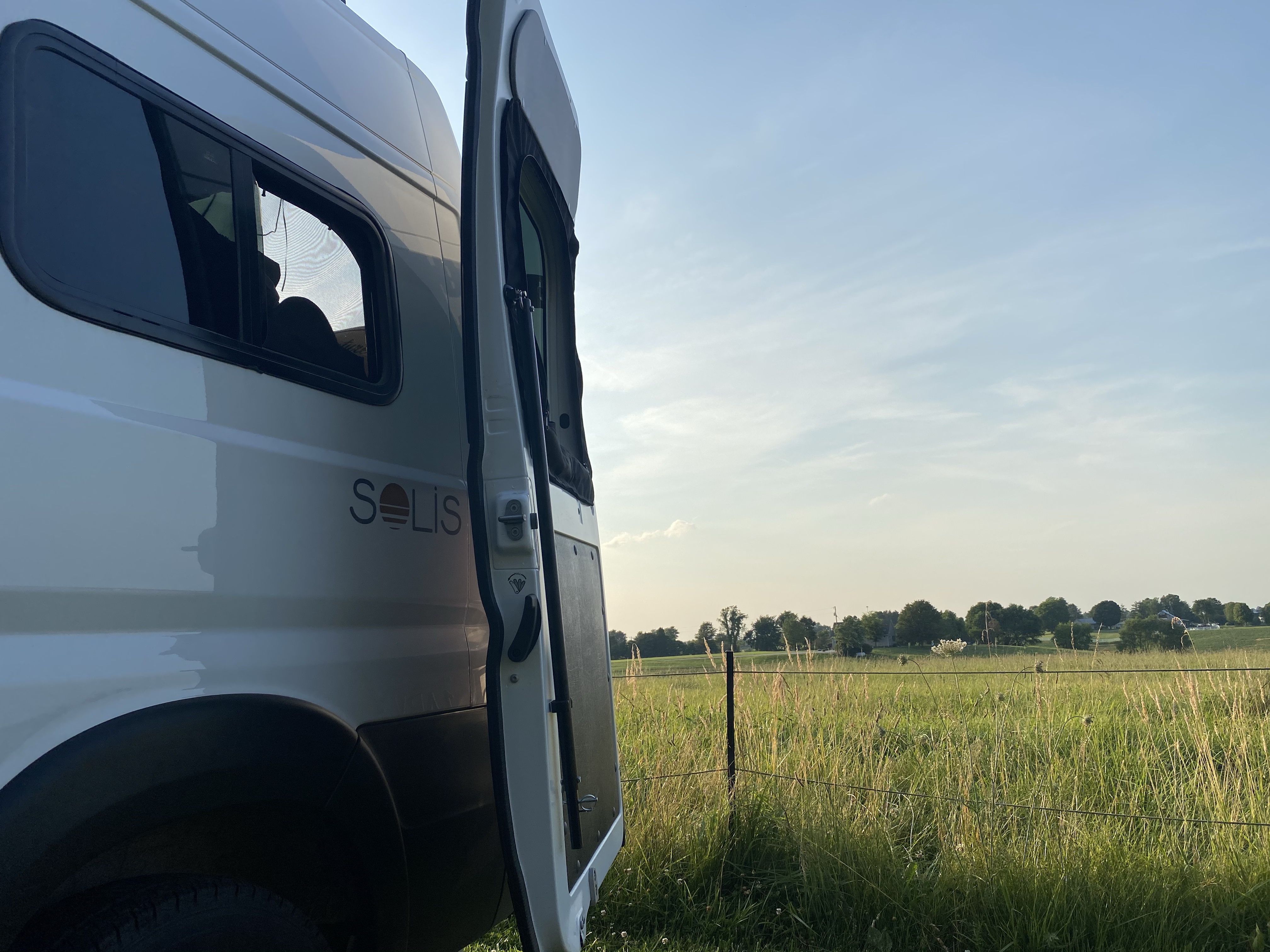
Today I didn’t have to drive! Yay! We got to the shuttle early, nabbed a spot at the front, and chatted with fellow hikers while waiting. We easily got on the first shuttle and were off on our adventure. A smooth start to the day!
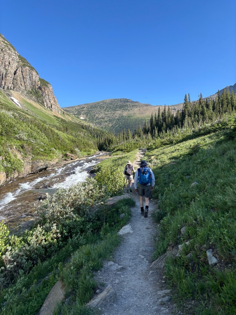
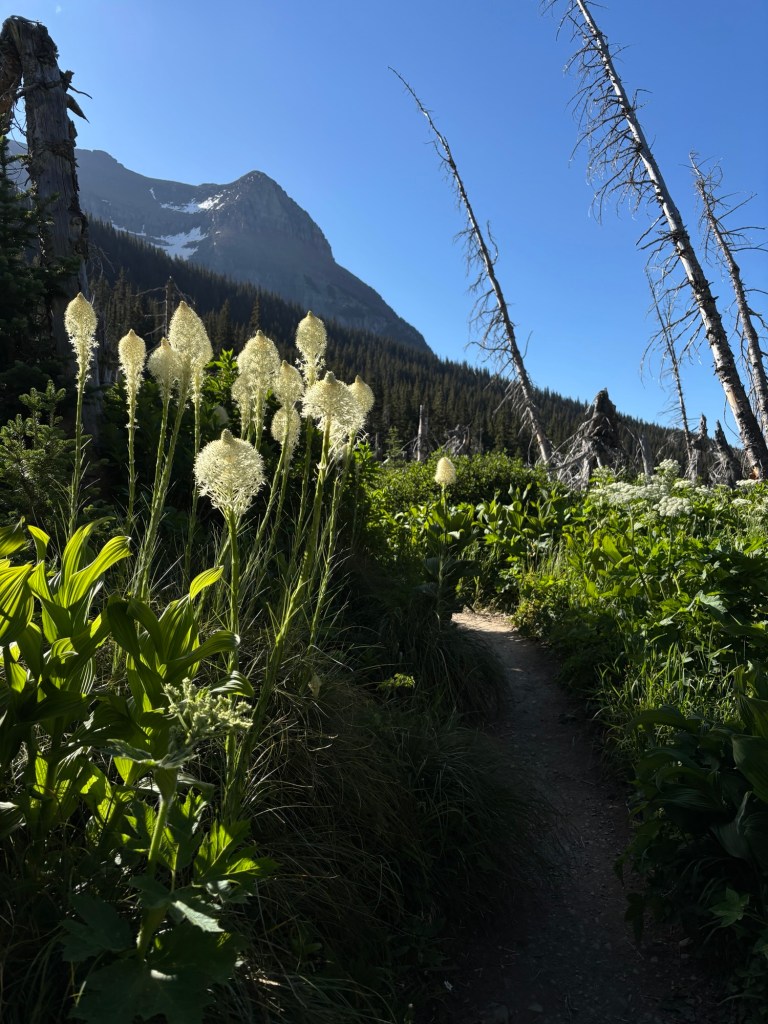
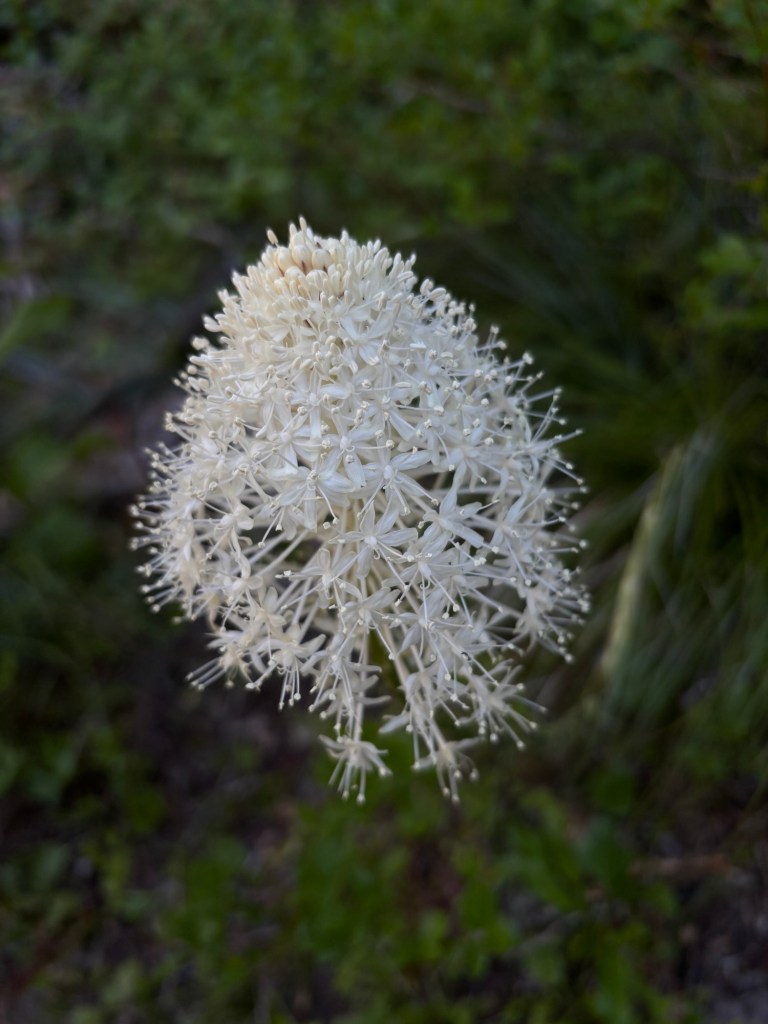
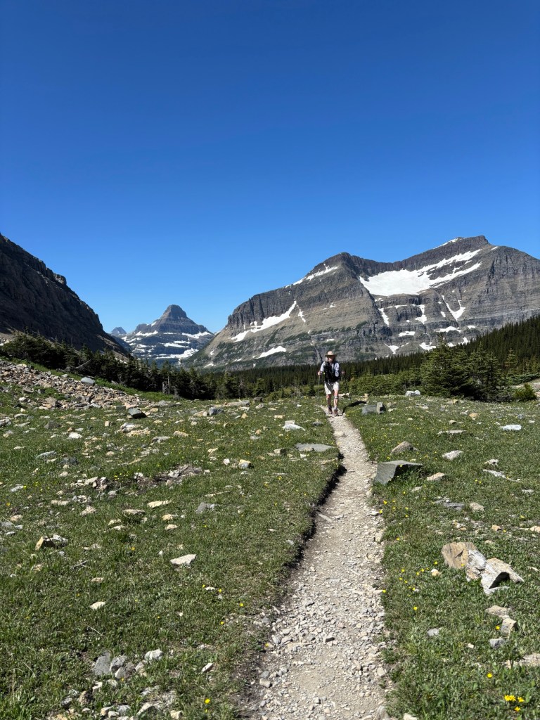
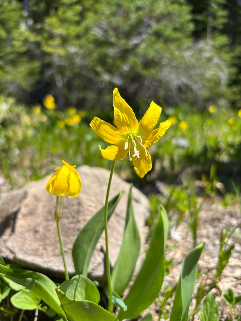
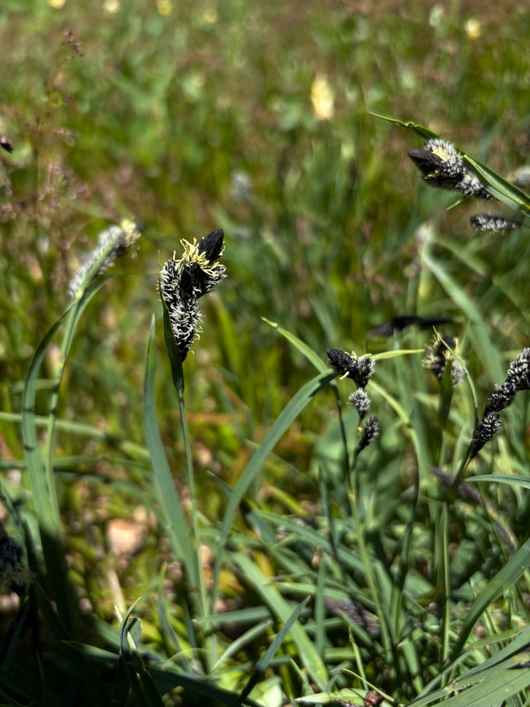
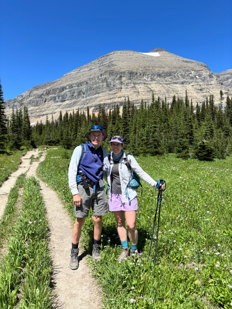
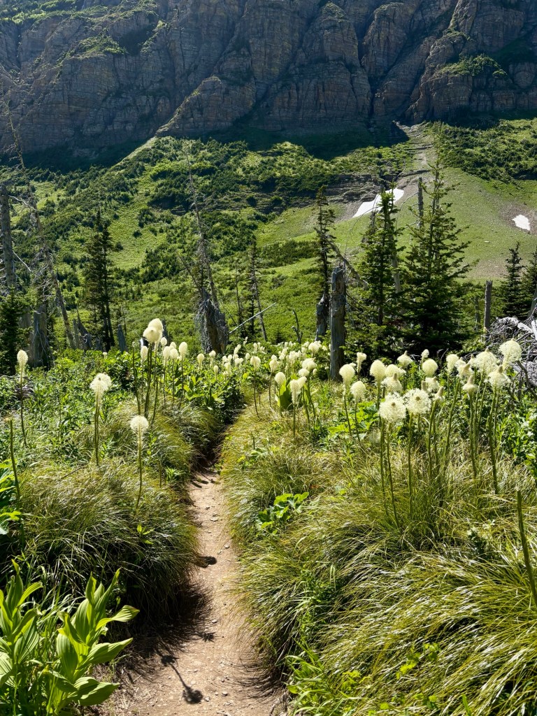
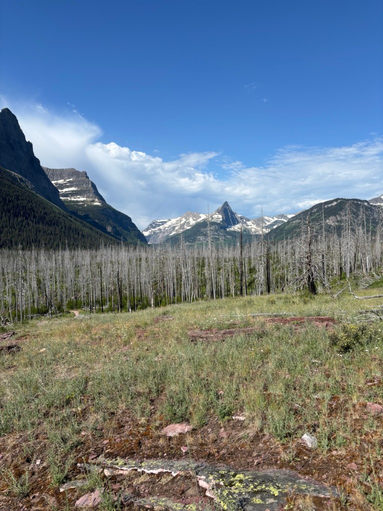
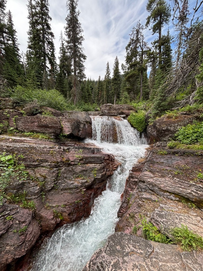
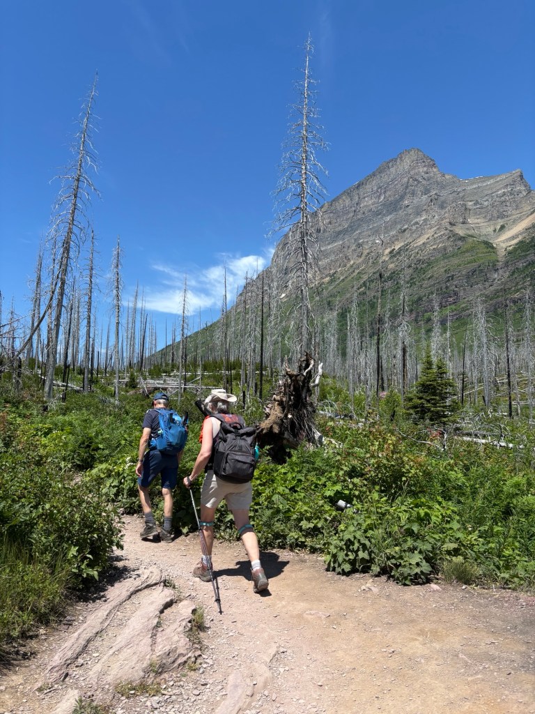
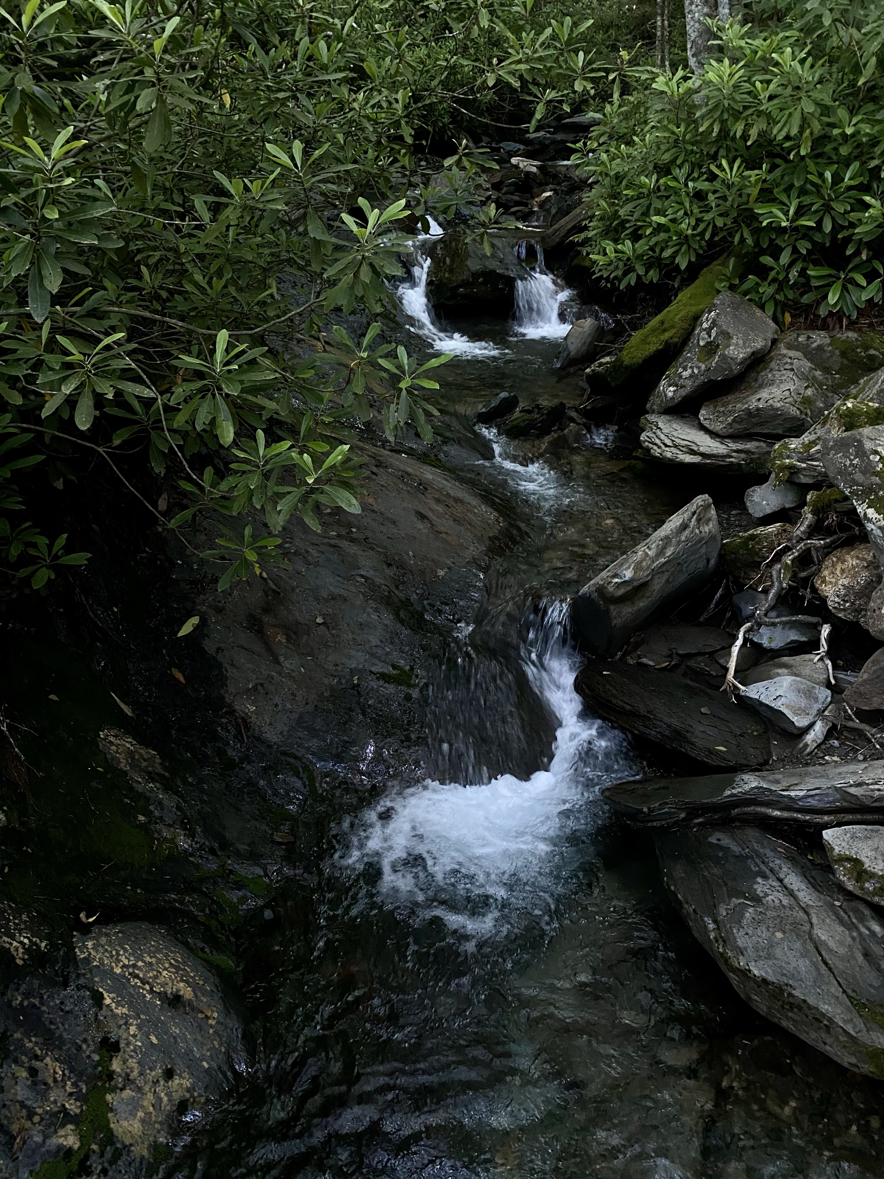
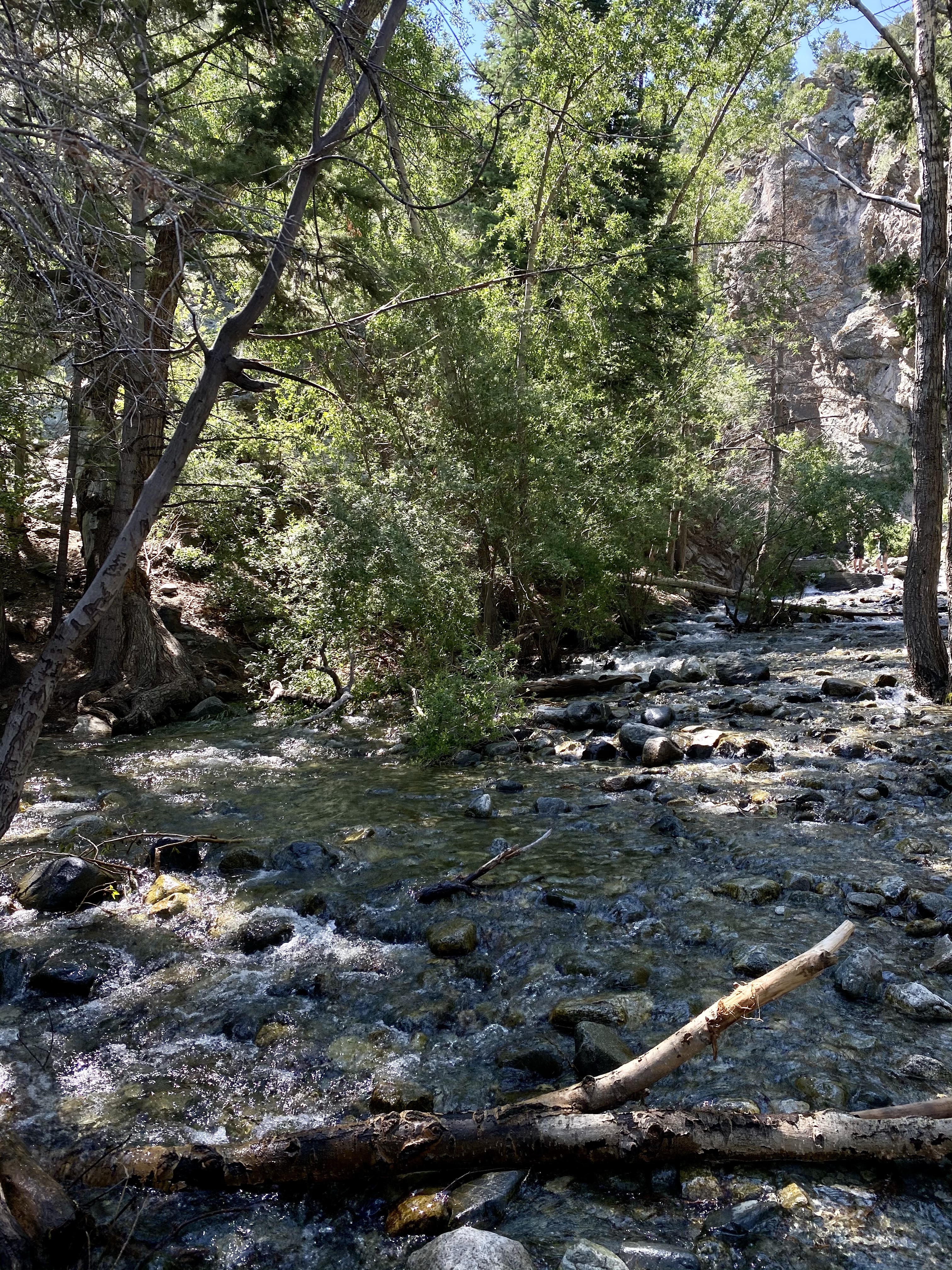
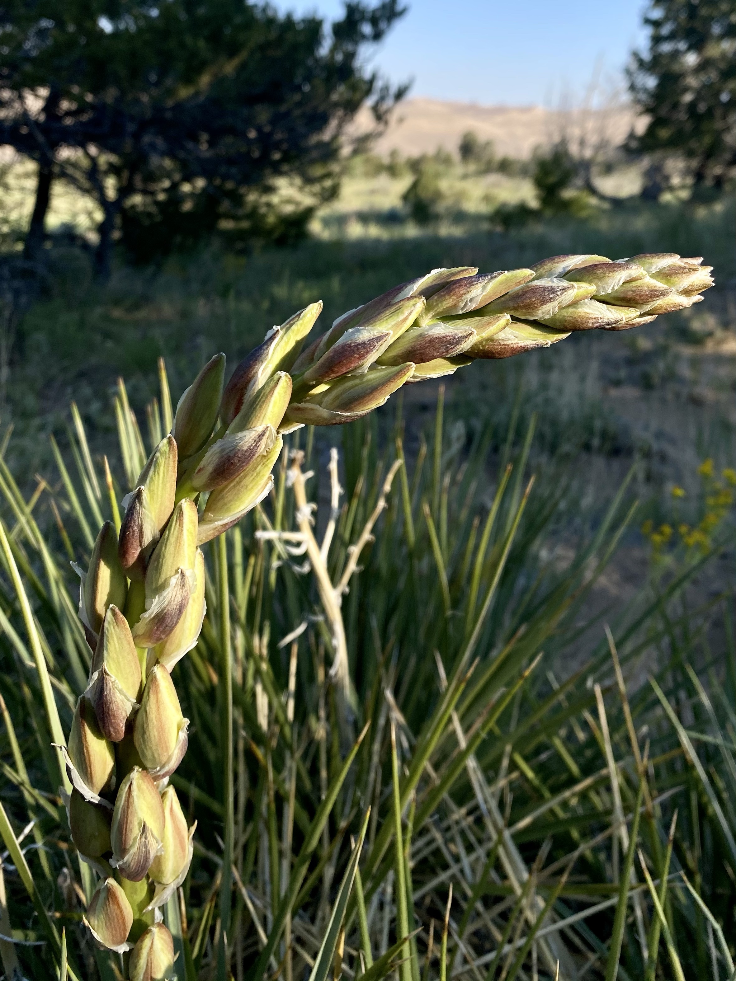
The trailhead was a welcome familiar site. Five years ago we hiked from here up to Piegan Pass. Today our goal was Siyeh Pass, a different end but the same beginning. We happily started out along the roaring river, the air brisk, the snow patches glowing, and the mountain waterfalls cascading down. Soon the path turned away from the river and into the woods. We were greeted by the fuzzy Dr. Seuss looking bear grass, the ones that make the hike just a little extra whimsical. The trail slowly climbed up, a gentle ascent.
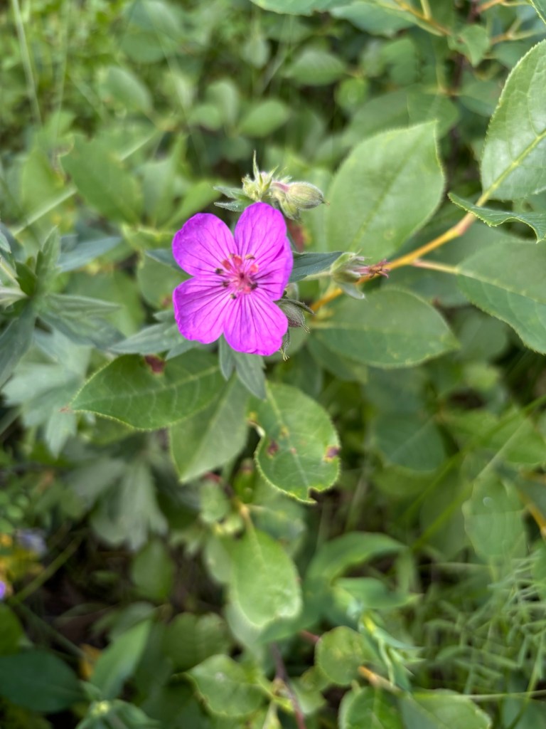
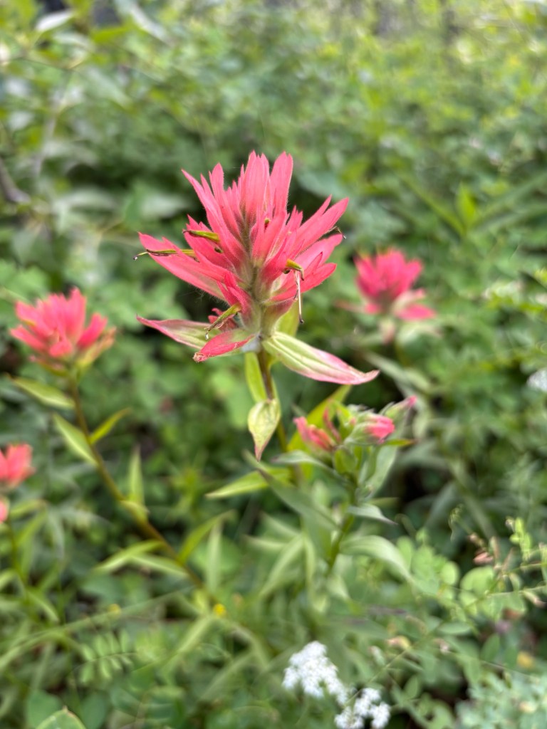
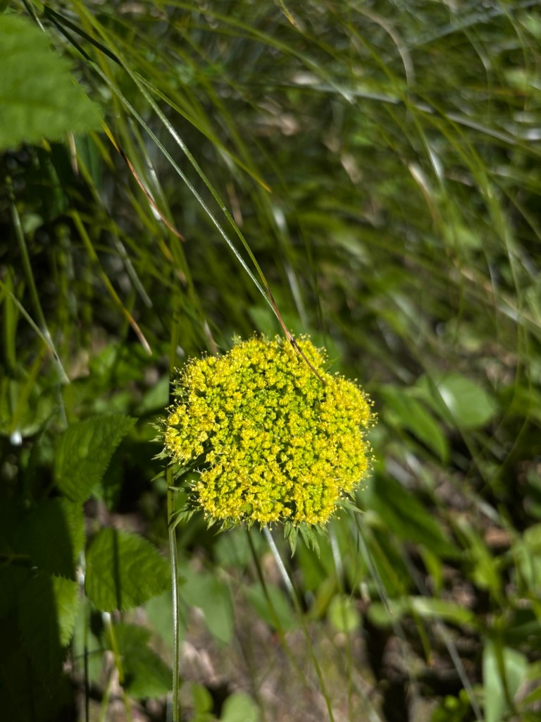
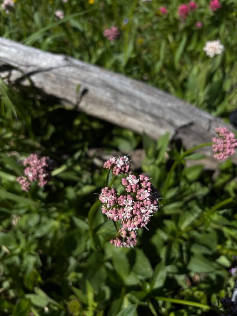
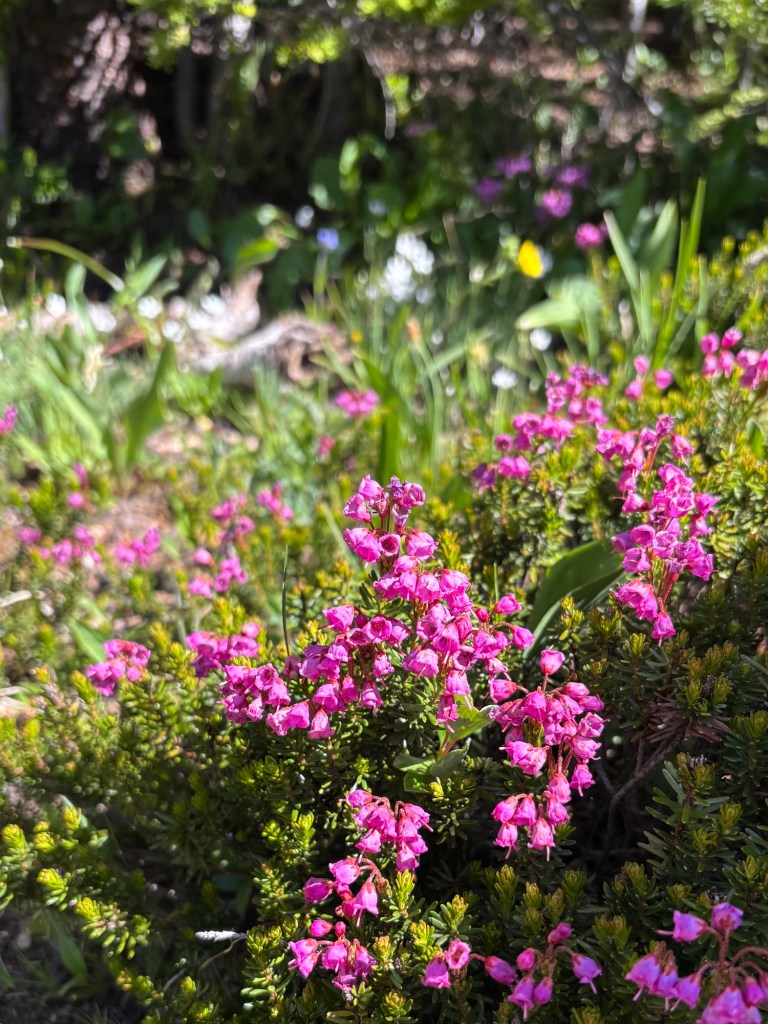
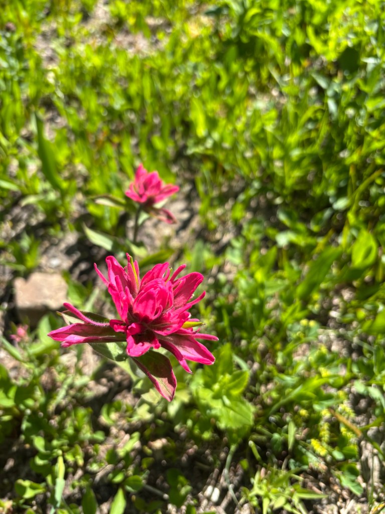
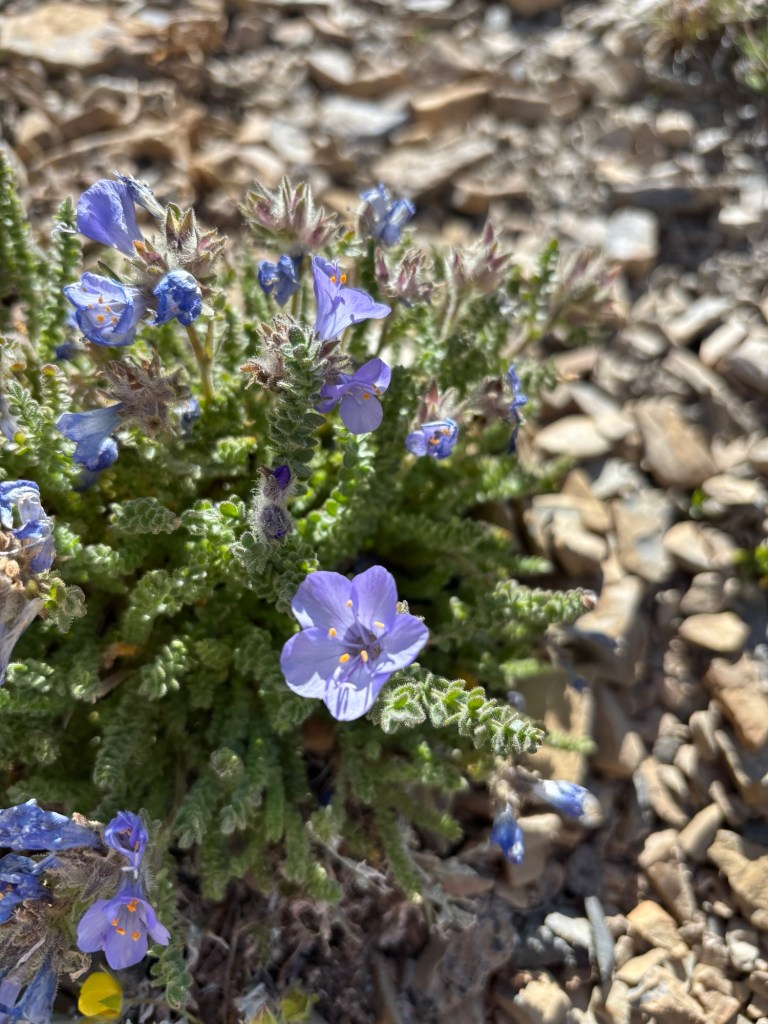
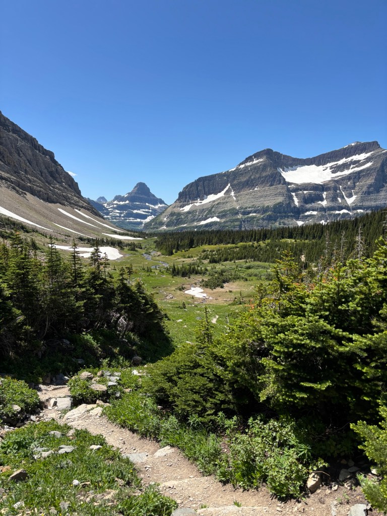
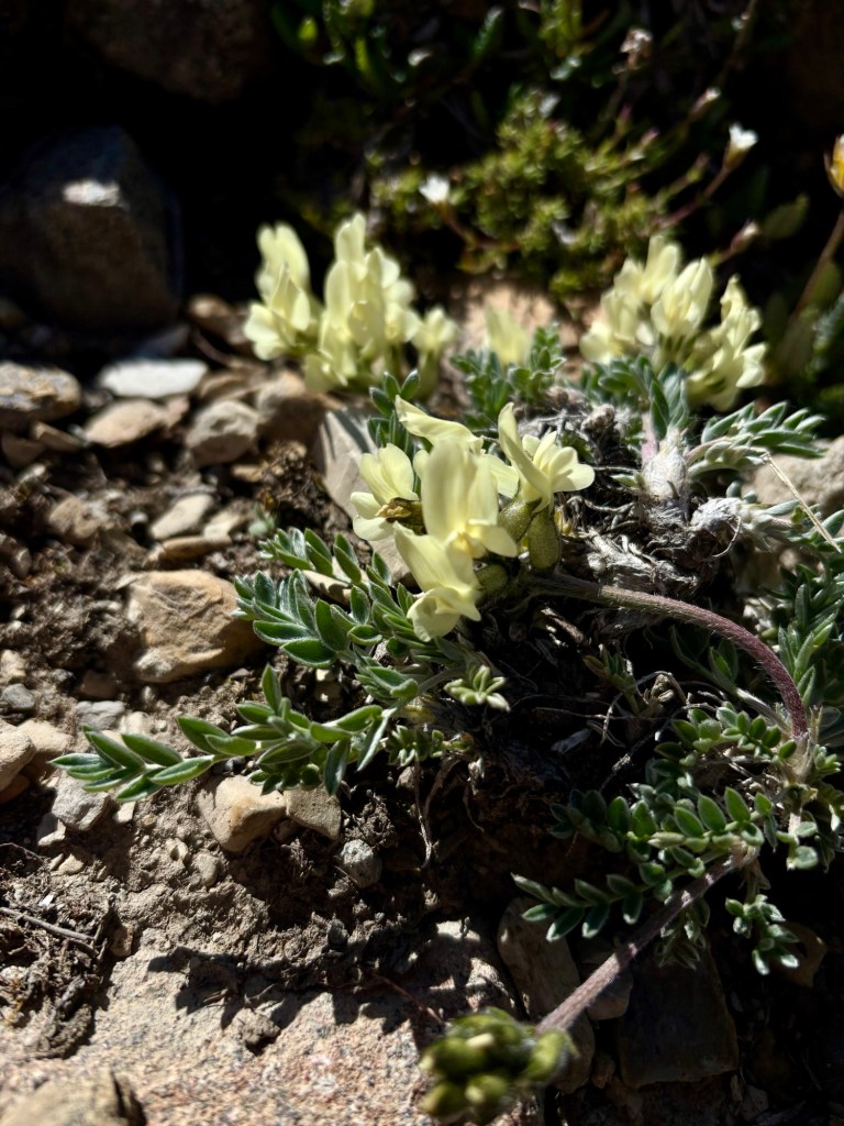
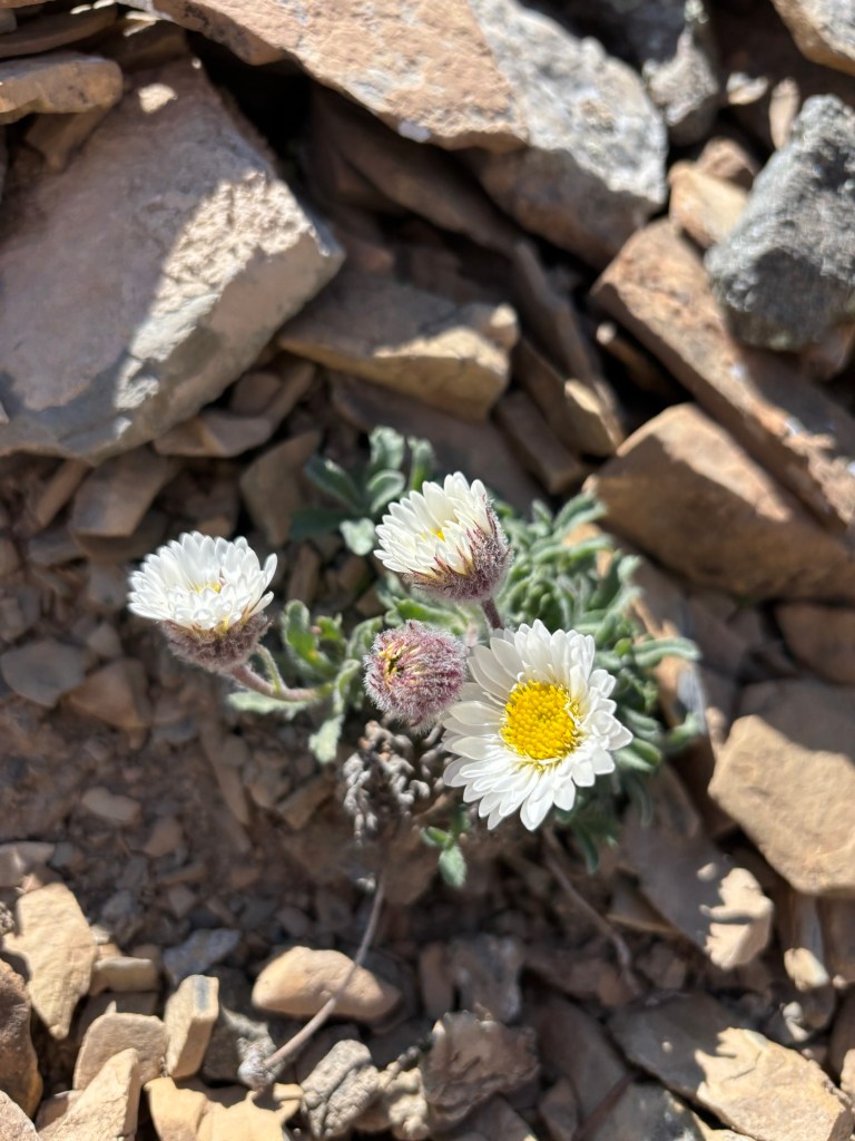
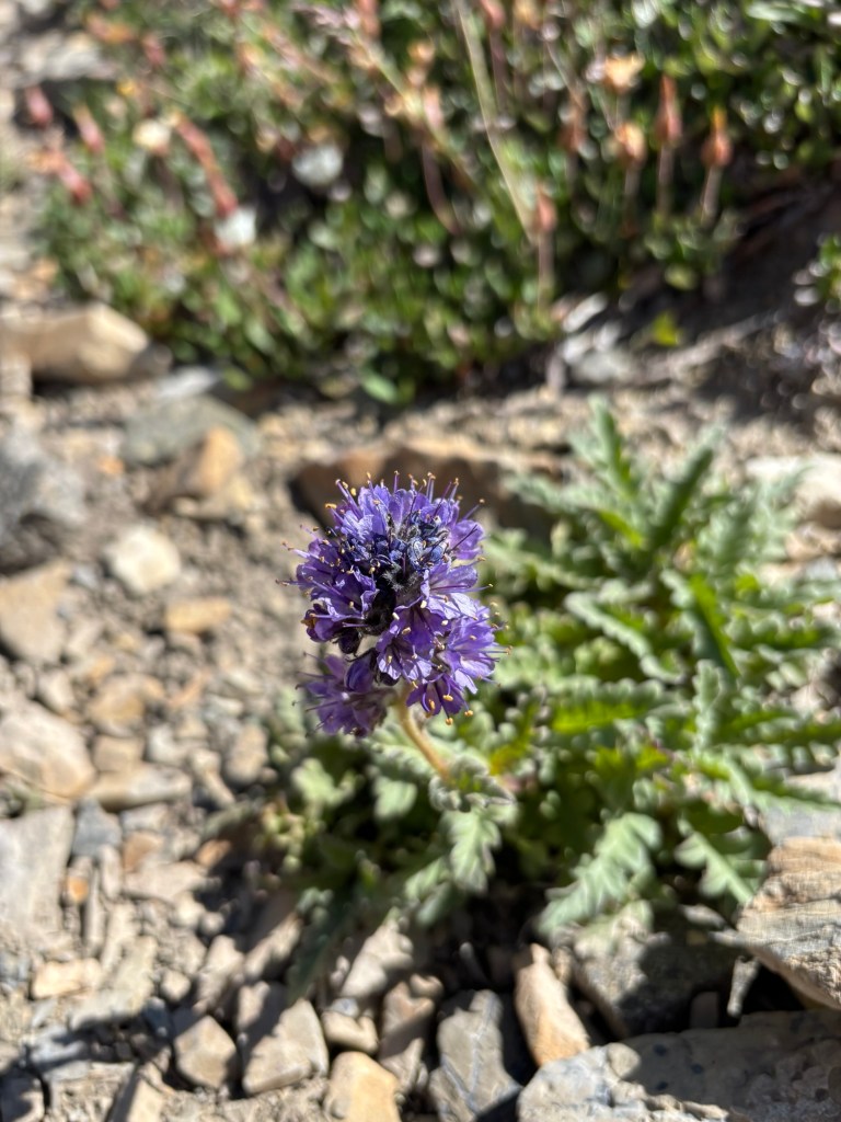
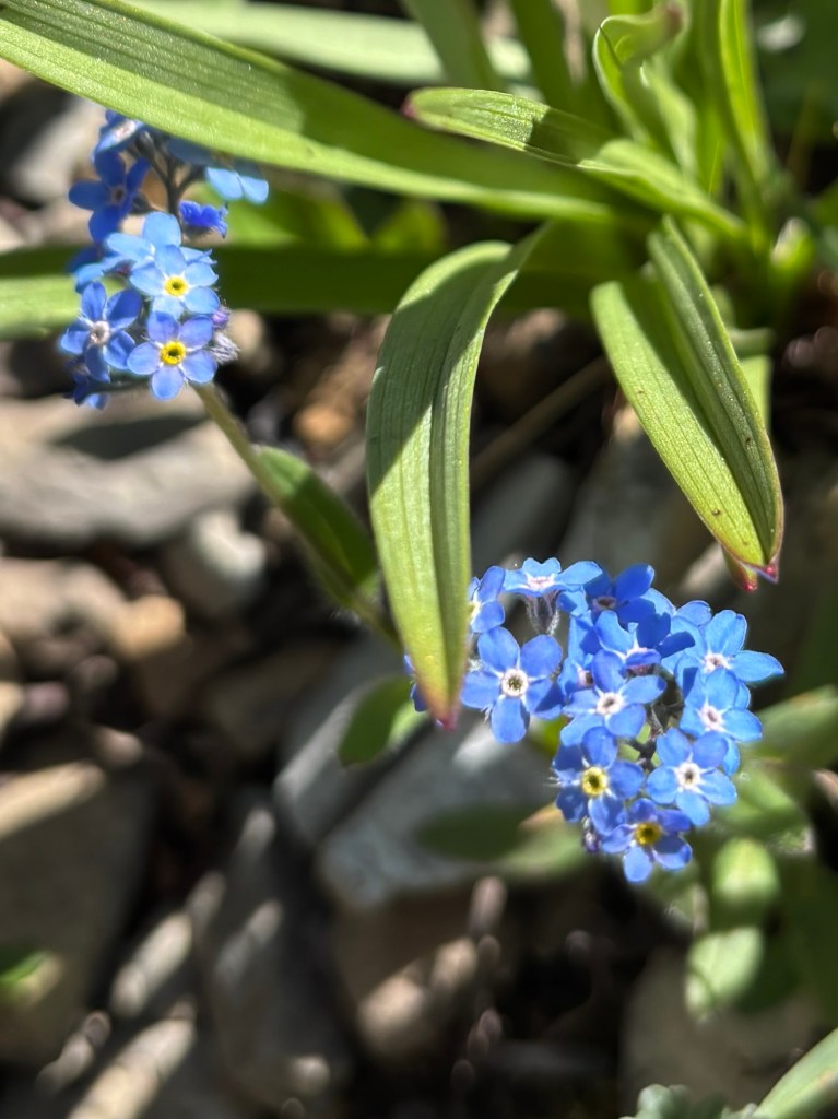
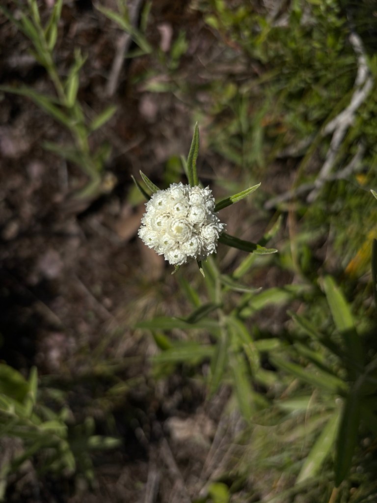
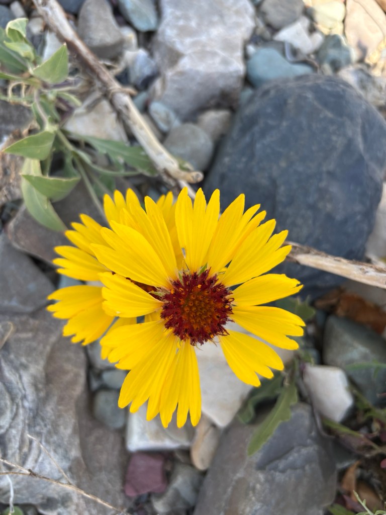
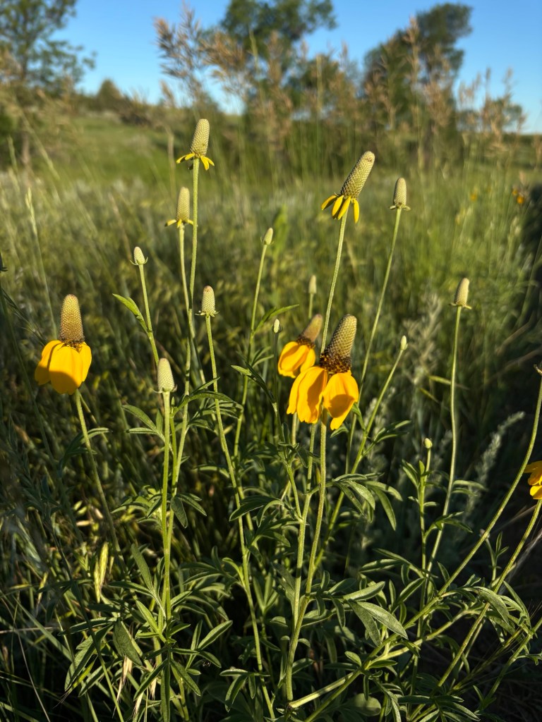
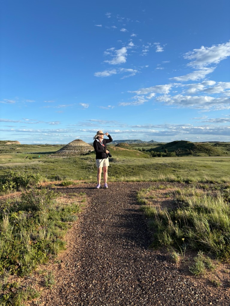
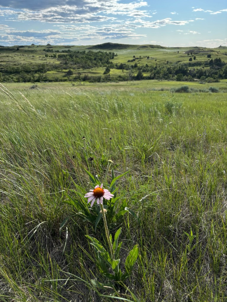
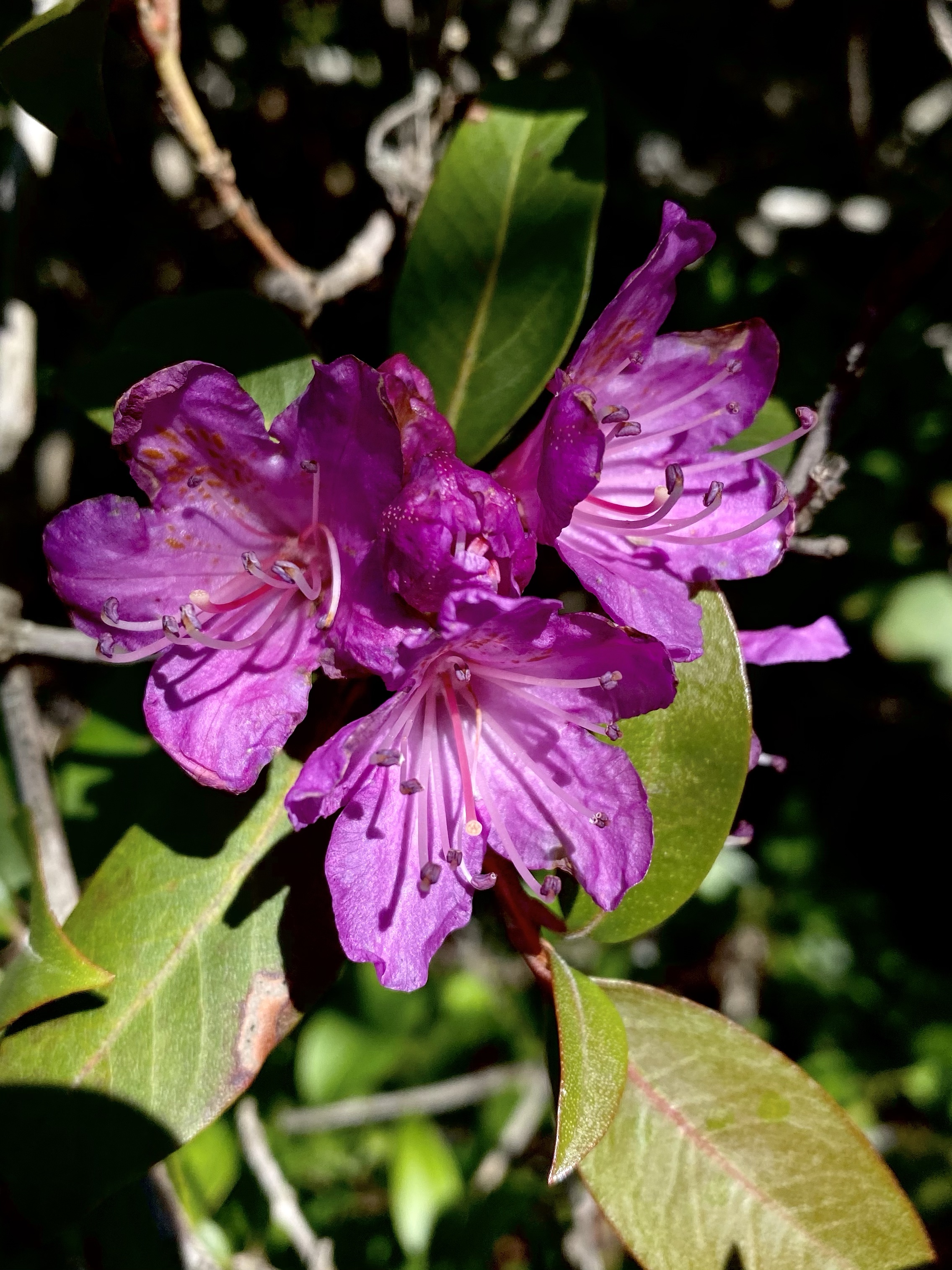
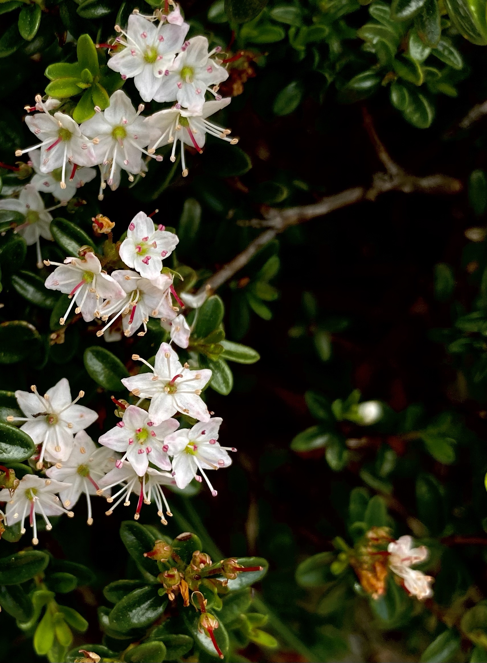
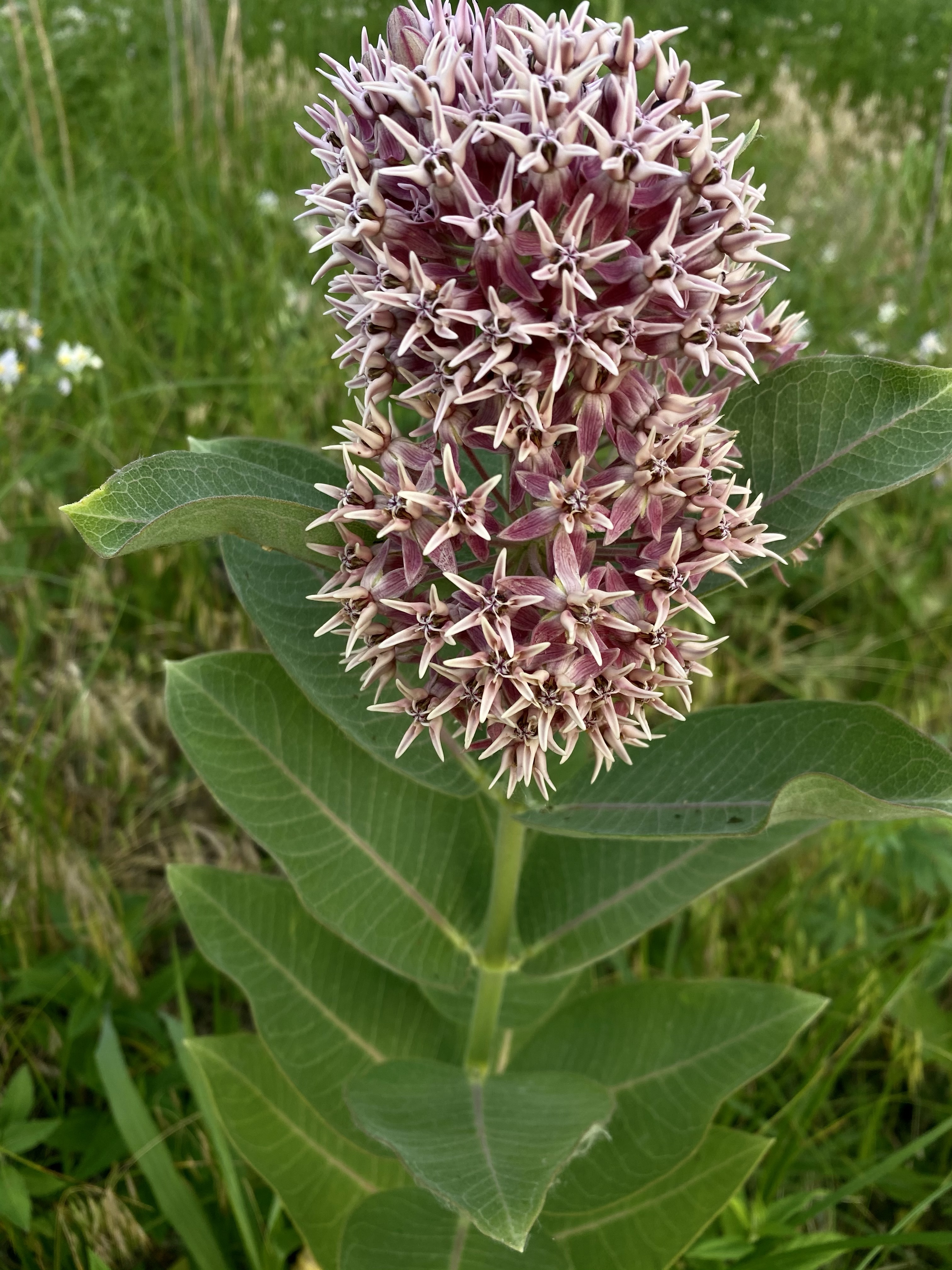
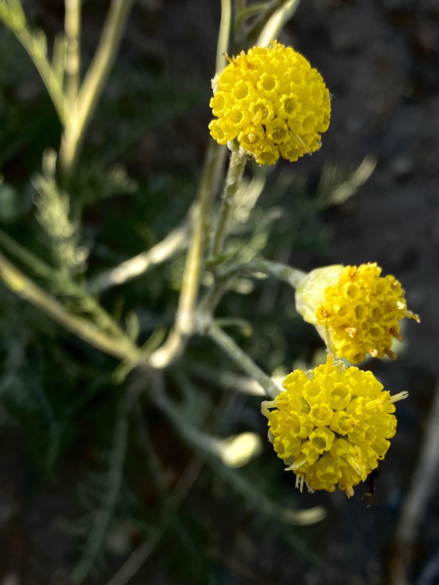
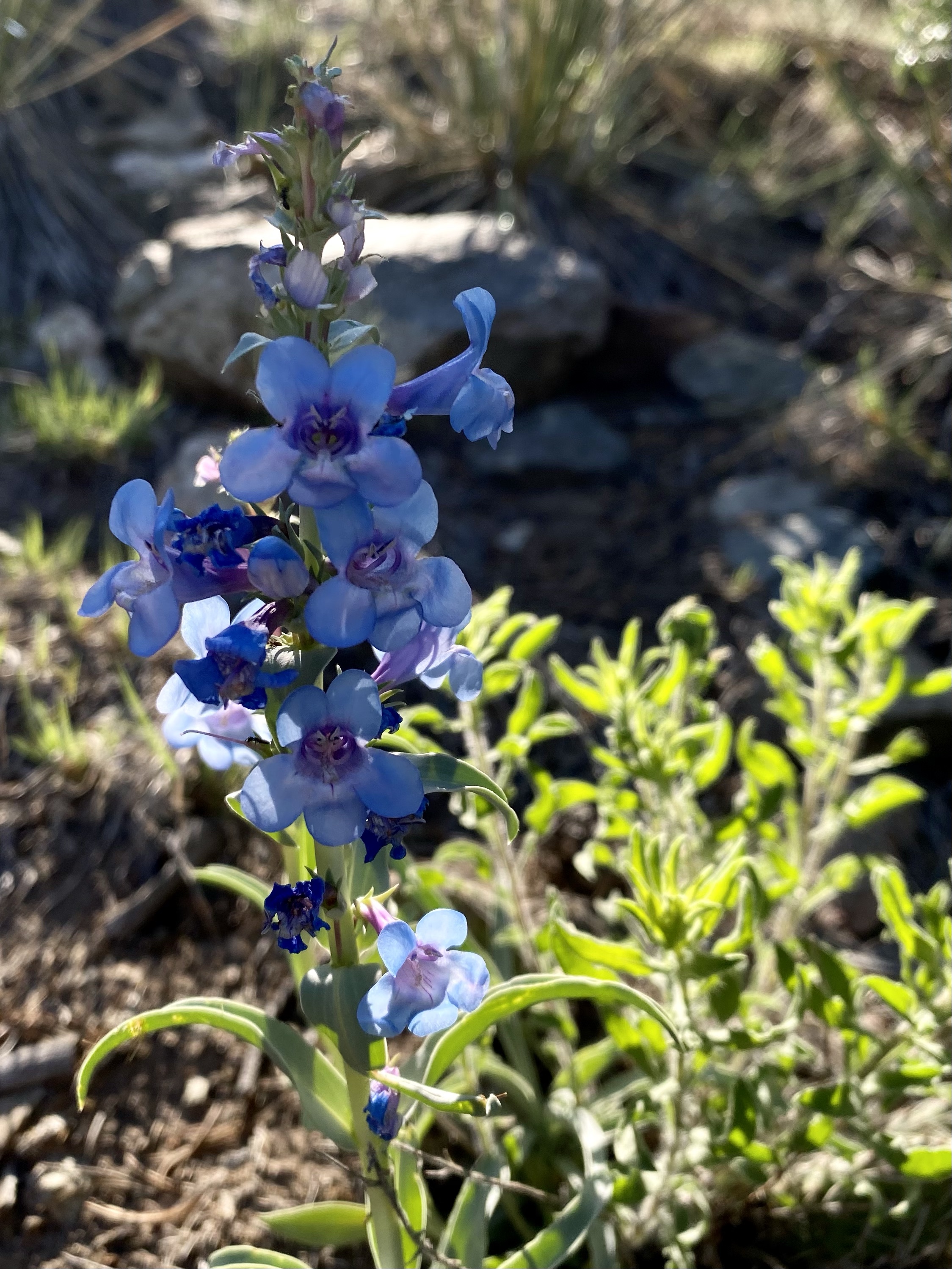
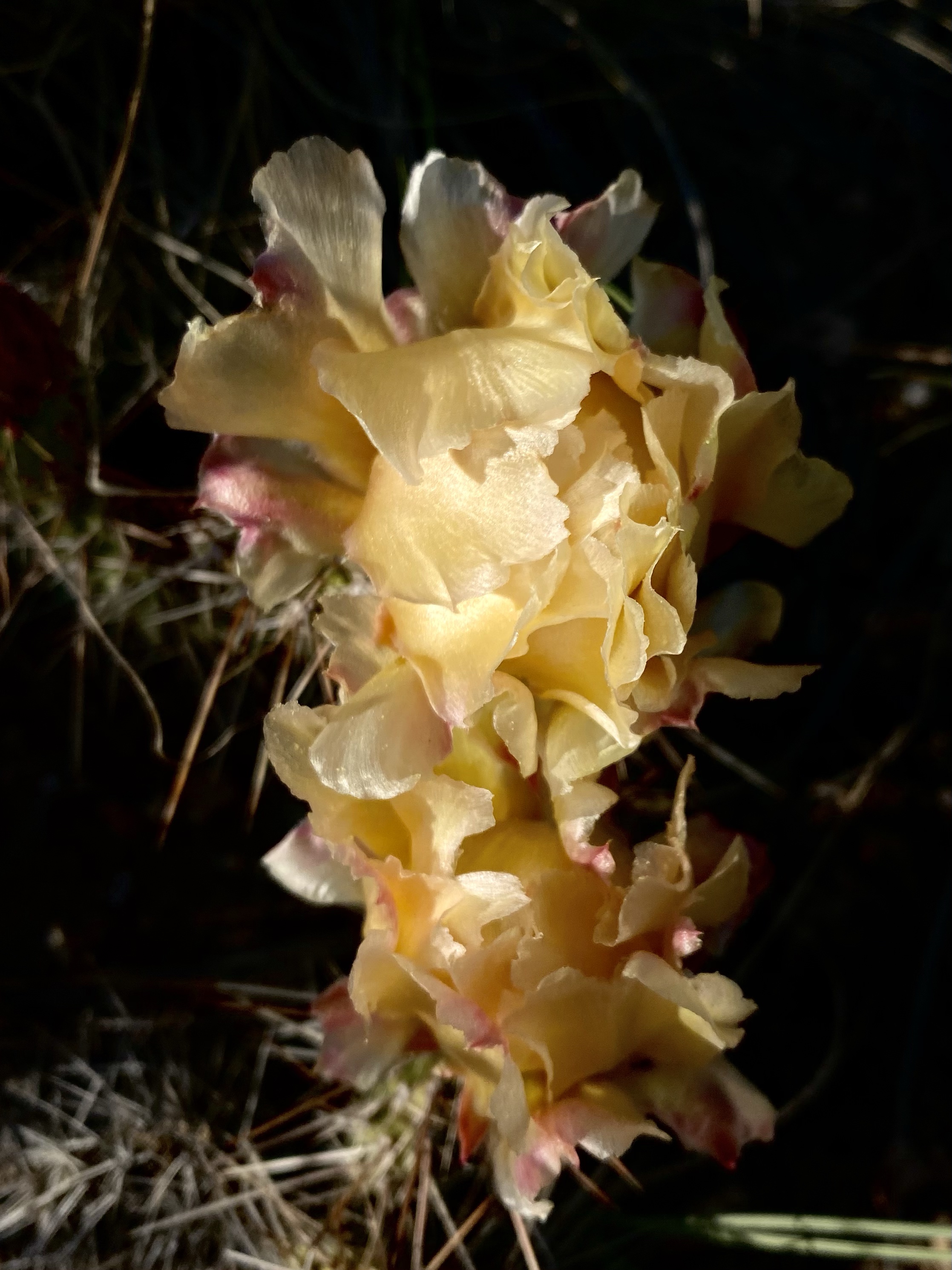
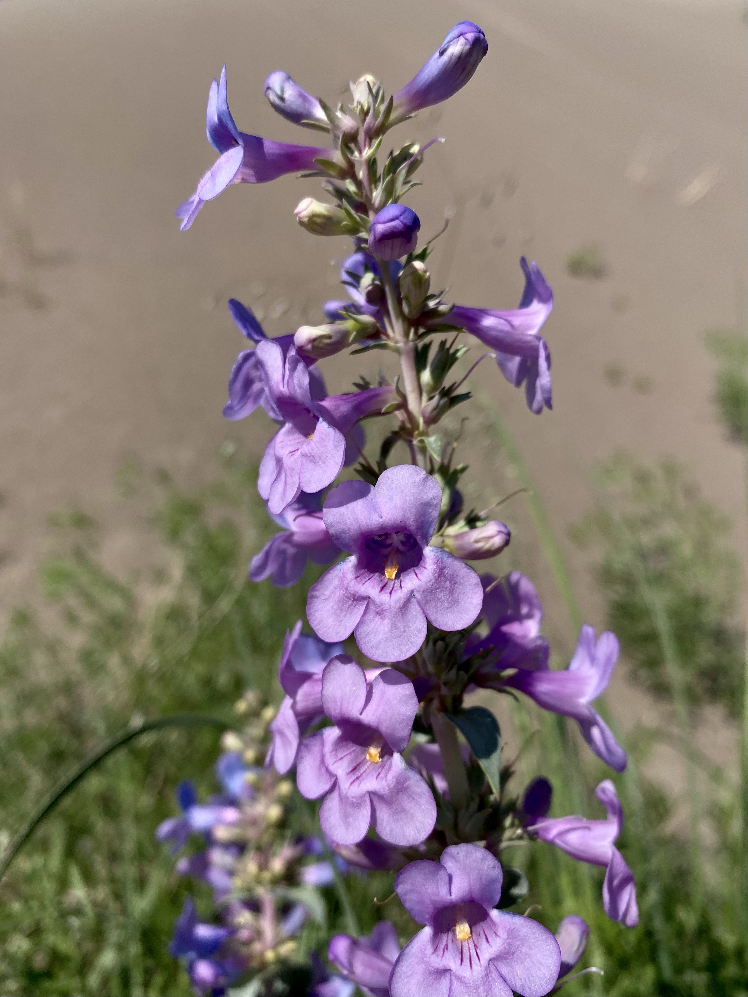
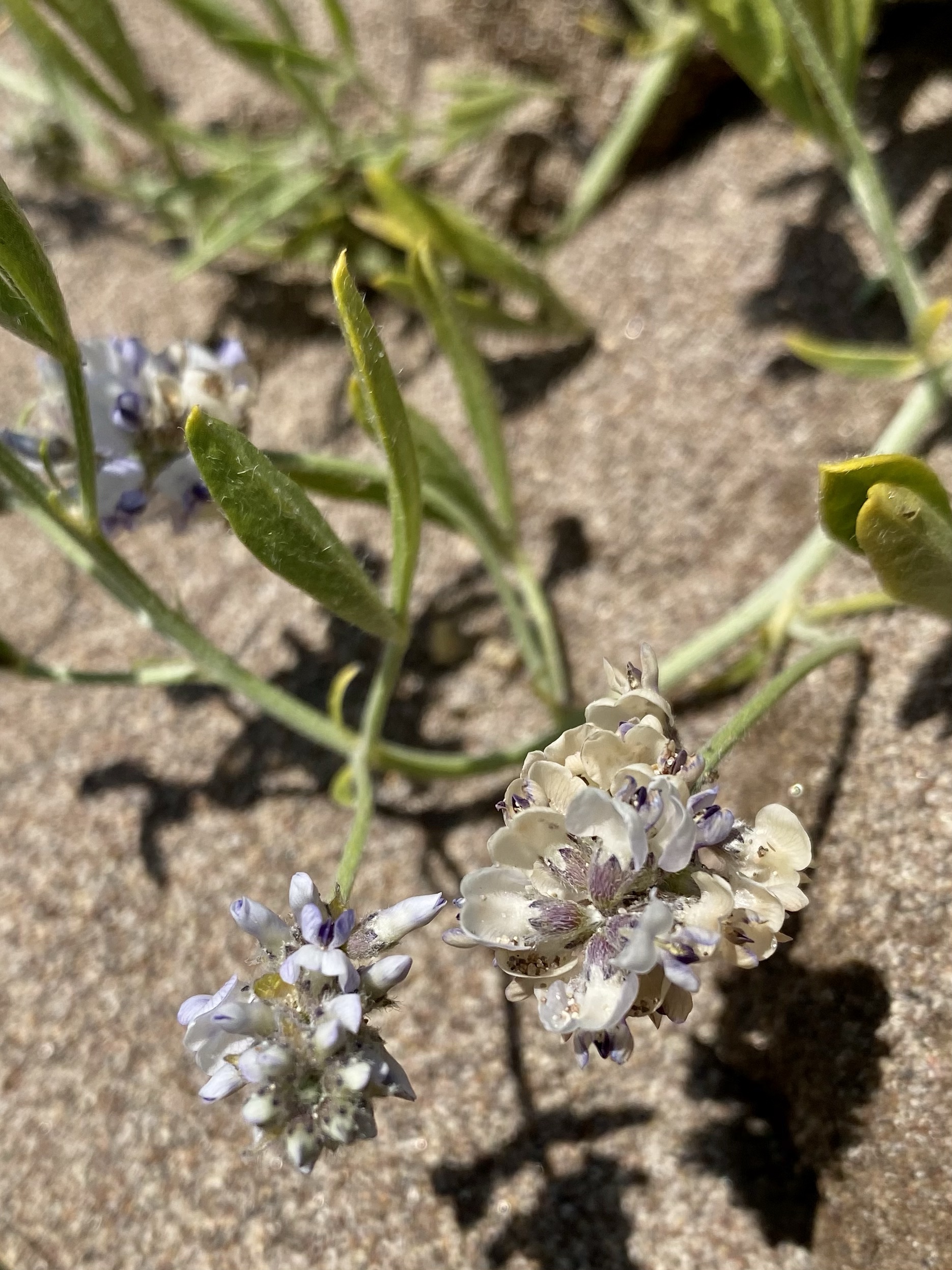
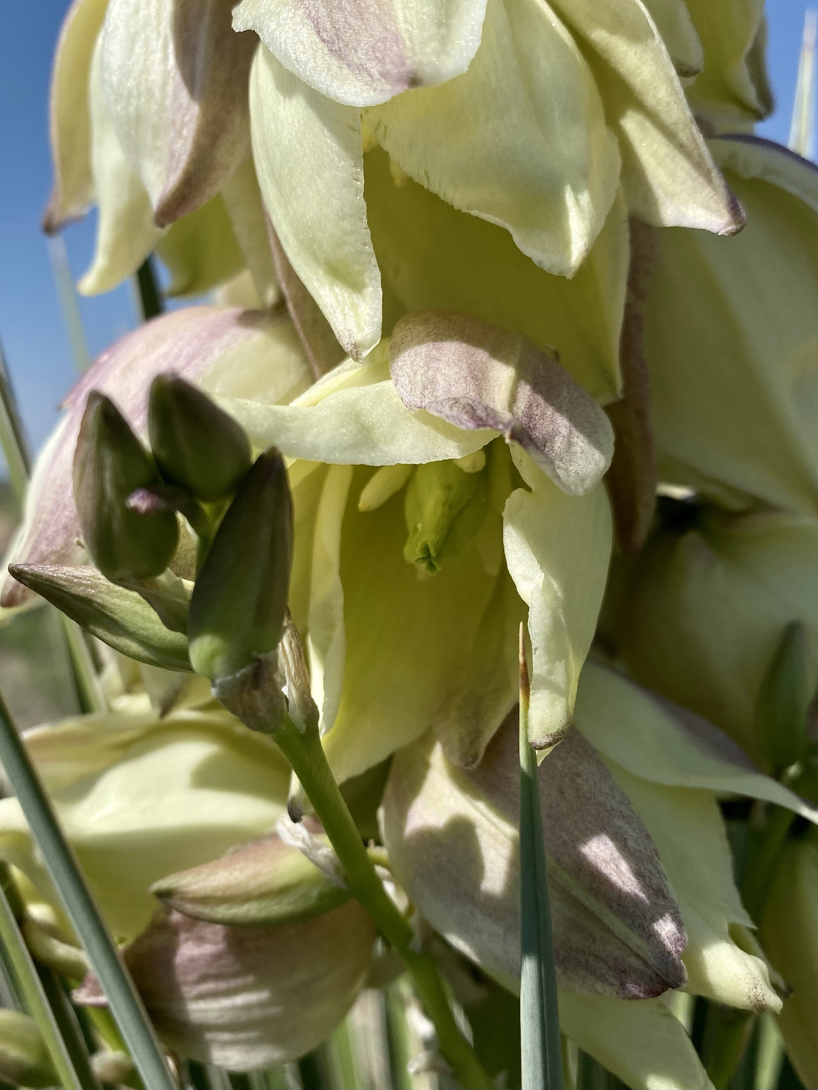
Eventually we reached the alpine meadows. While the wildflowers weren’t quite as spectacular as five years ago since it is earlier in the season, there was still plenty of color and reasons to stop to snap a picture. Sometimes I’m amazed I make any progress at all down a trail. There is just so much beauty to admire!
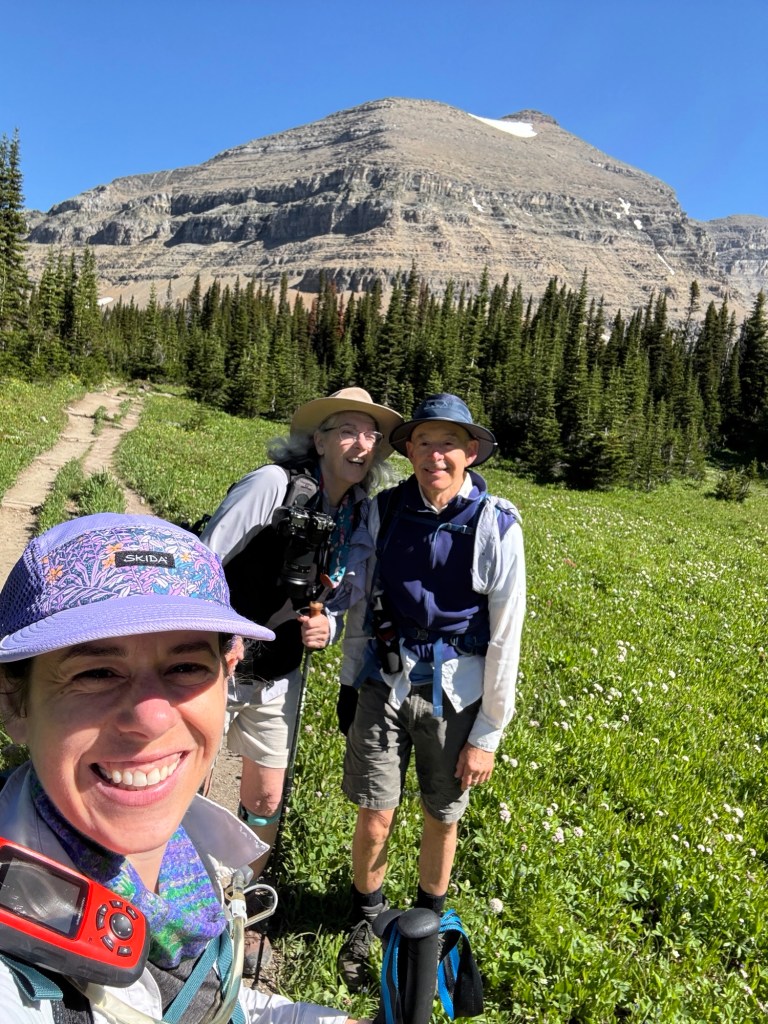
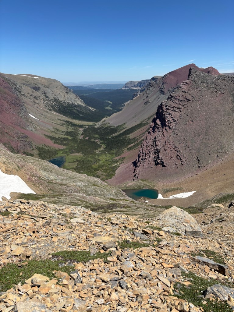
After a few miles, we arrived at the junction for Siyeh Pass and veered to the left. A new trail for us to discover. It wound through open fields and pine patches, across the river and by spring fed ponds. We even passed several patches of snow hiding out in the forest! Eventually we came to a clearly and the mountains just seemed to erupt before us. Gosh it’s amazing to be alive!
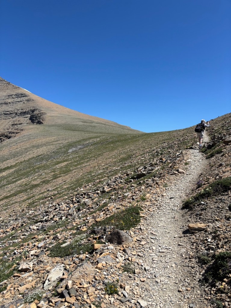
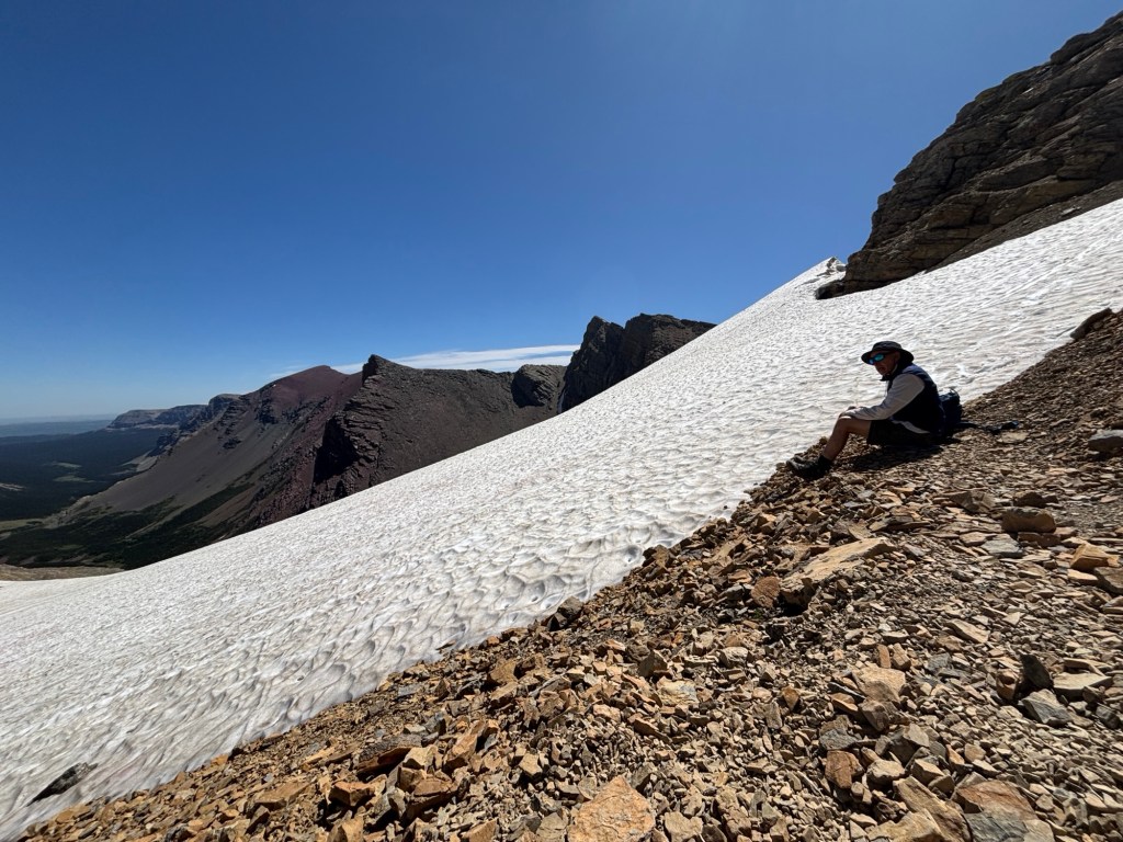
Ahead of us you could see the switchbacks, winding up the scree filled mountainside. I remarked, “Oh, this is where we start climbing” to which my mom replied, “What do you call what we’ve been doing!” 😅
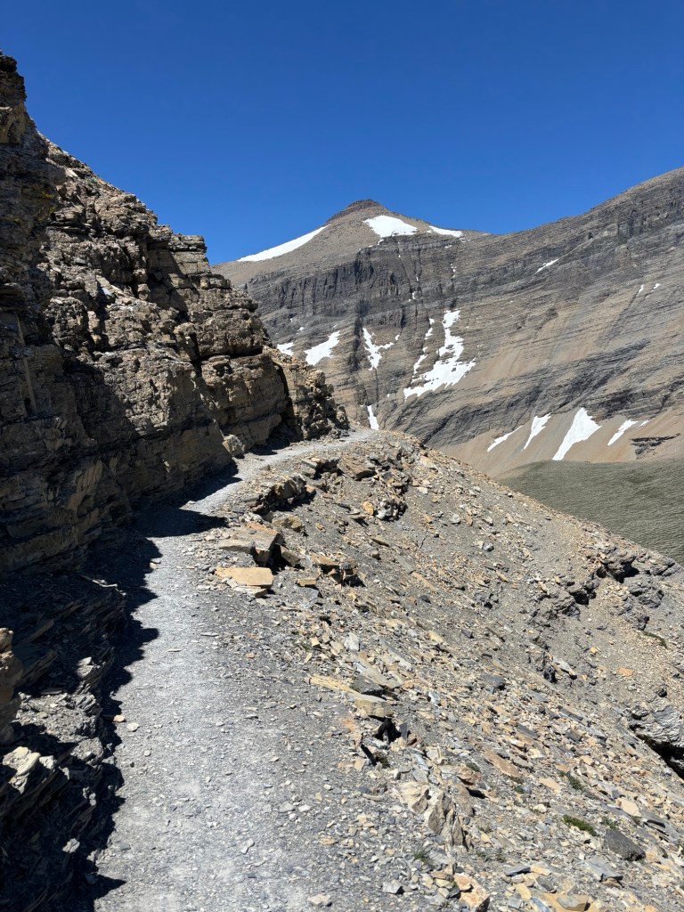
Away we went, one careful step at a time. The loose rock was challenging enough, but then the wind picked up. Every now and then a strong gust came along was threw our balance off. Thank goodness for hiking poles to steady us! My dad was a little miserable, the wind a tough mental battle for him. My mom was showing her bravery and perseverance, battling her vertigo and confidence. They both did amazing. I’m so proud of them.
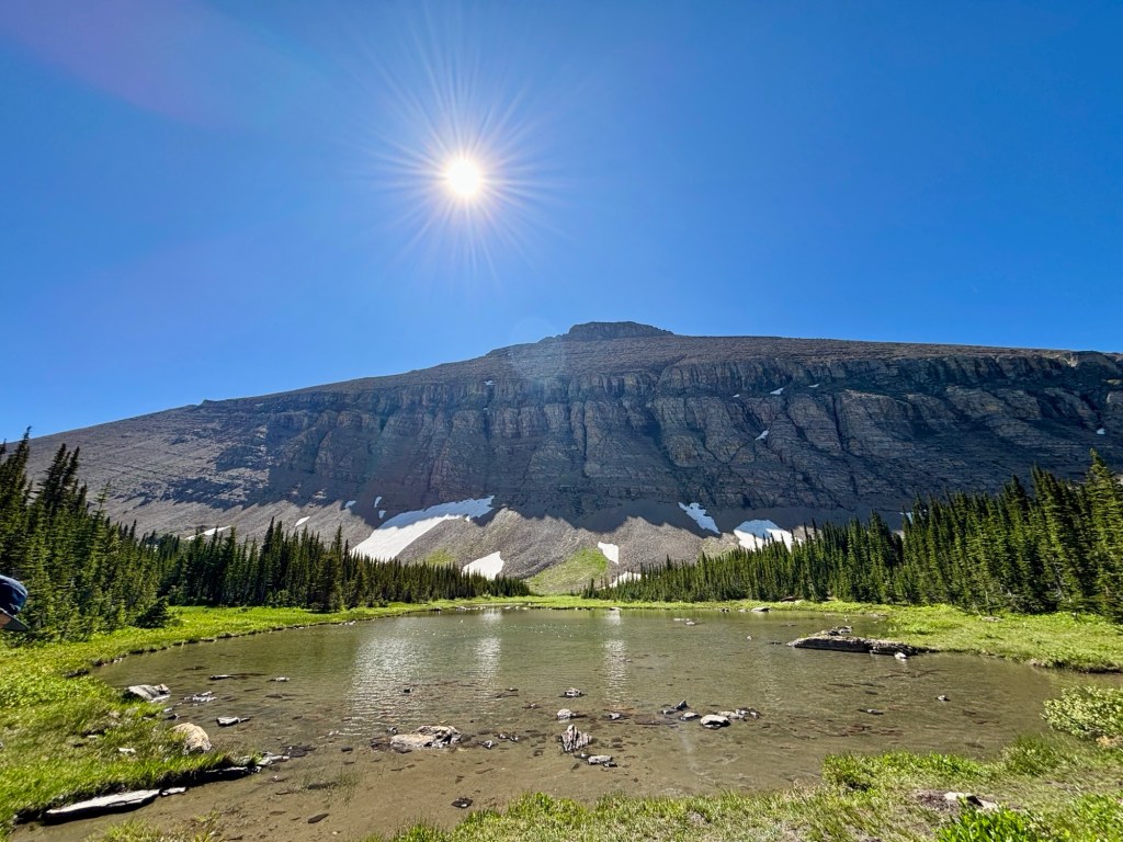
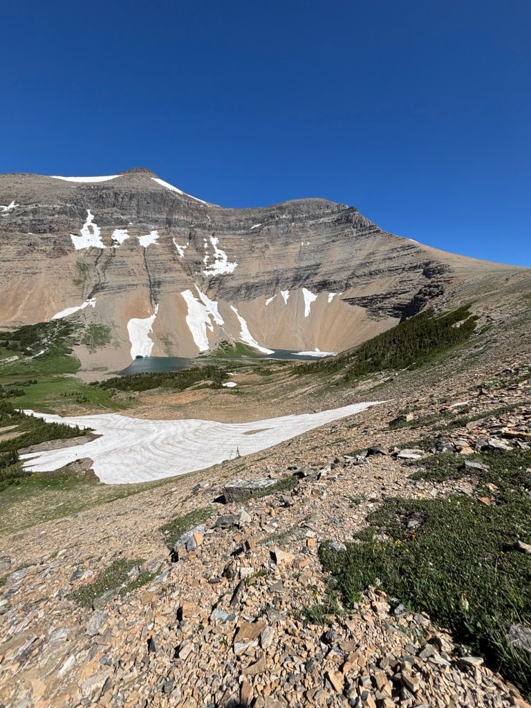
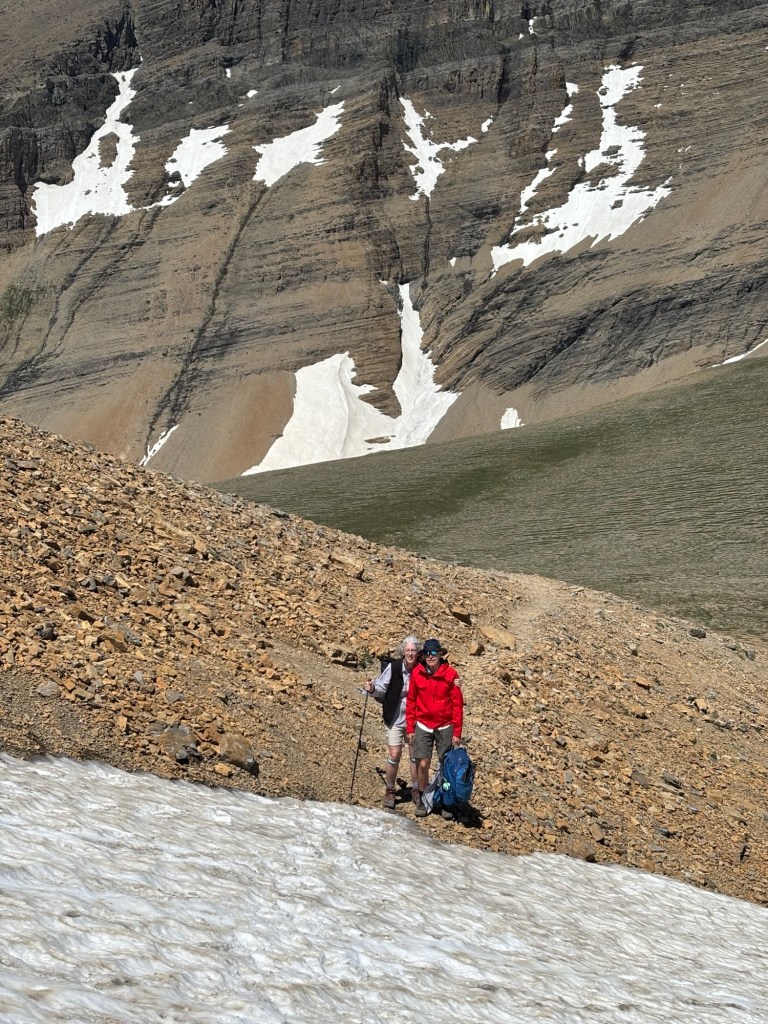
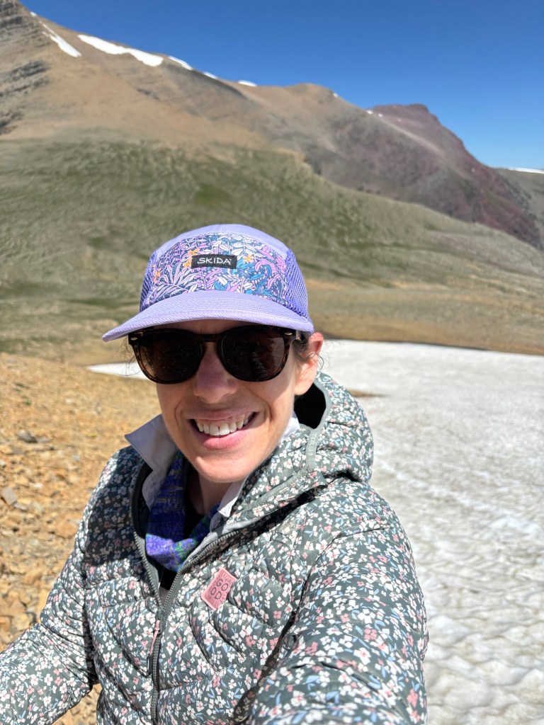
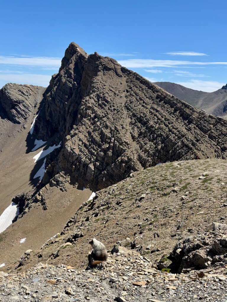
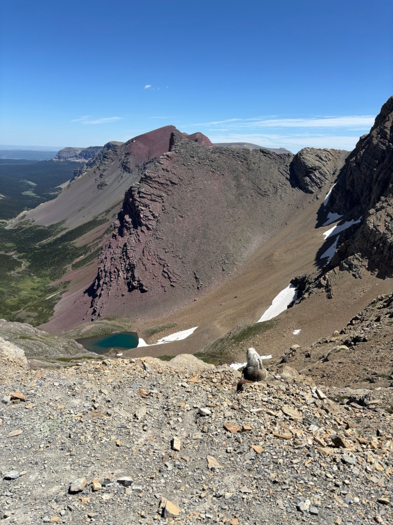
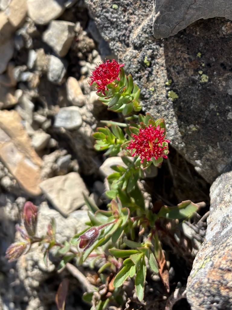
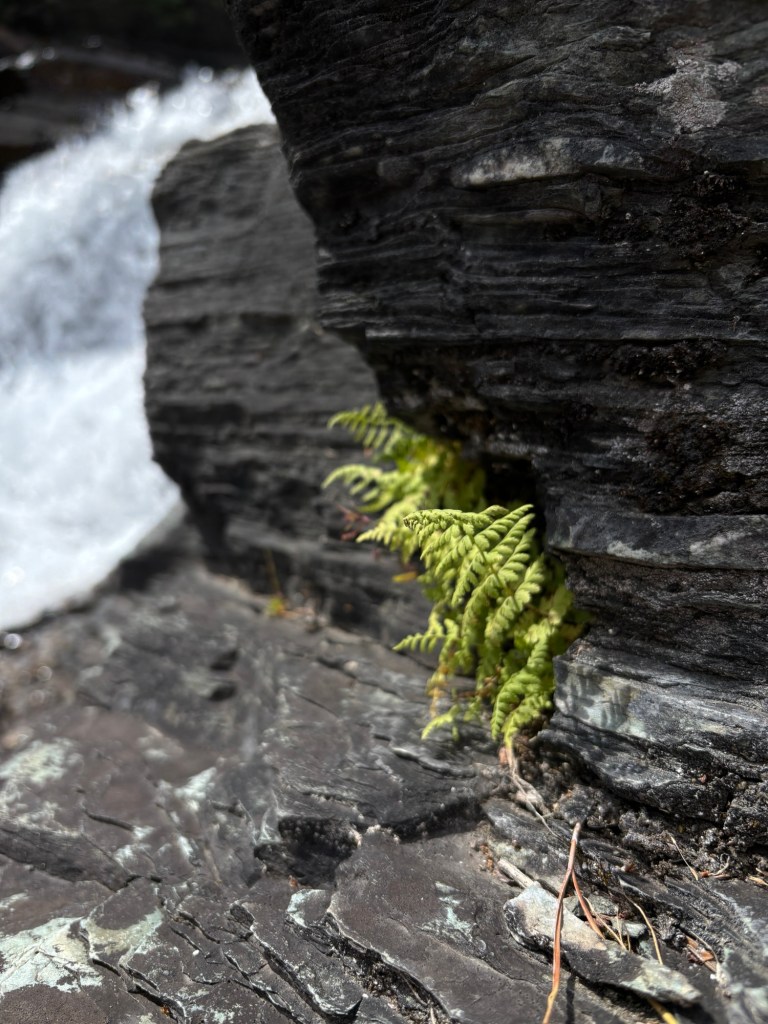
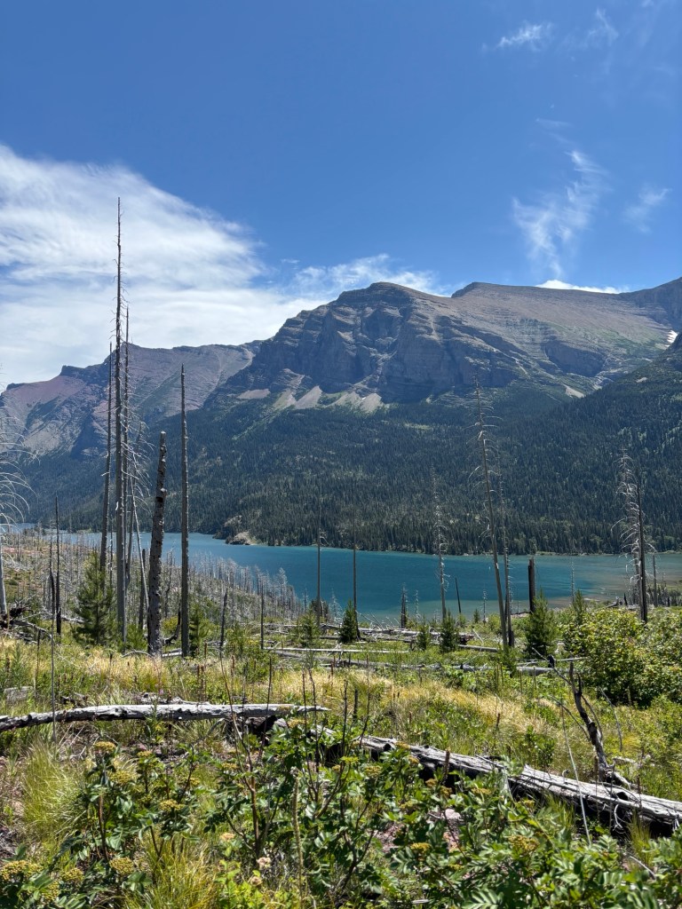
We made it about two-thirds of the way up and decided to pull off on a side trail to regroup and discuss next steps. We turned the corner, saw the glacier, and sat down next to the lingering snow and ice to rest. Down on the ground, the wind was much less and we were able to enjoy the majestic view before us. Snow on one side, towering mountains ahead, a green called far below. The rocks were a rainbow of yellow, gray, maroon, purple – so different than anything I’d seen before. And to be able to touch a glacier – how amazing!
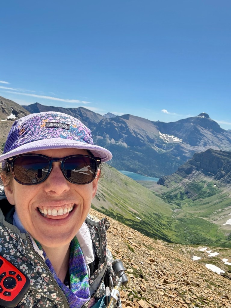
As our lunch break wrapped up, my parents decided to head down instead of continue to the pass. That was totally understandable considering the conditions. I, on the other hand, was determined to finish and headed up, into the wind!
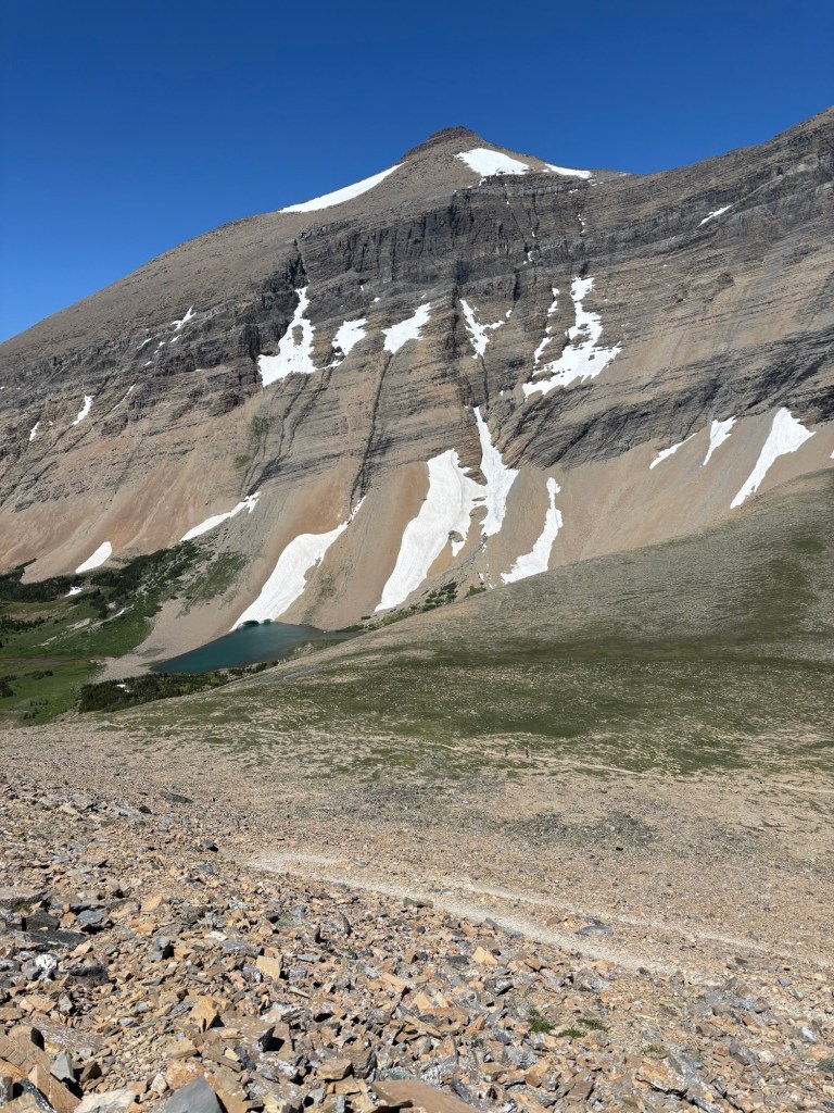
At the summit, as I rounded the corner to traverse to the other side, I was surprised by two hoary marmots looking for their own lunch! Warm with their thick winter coats still on, the cautiously checked me out and decided I was ok but they’d keep their distance. They let me admire them for a bit before disappearing into the rock crevasses. Thank you hoary marmots!
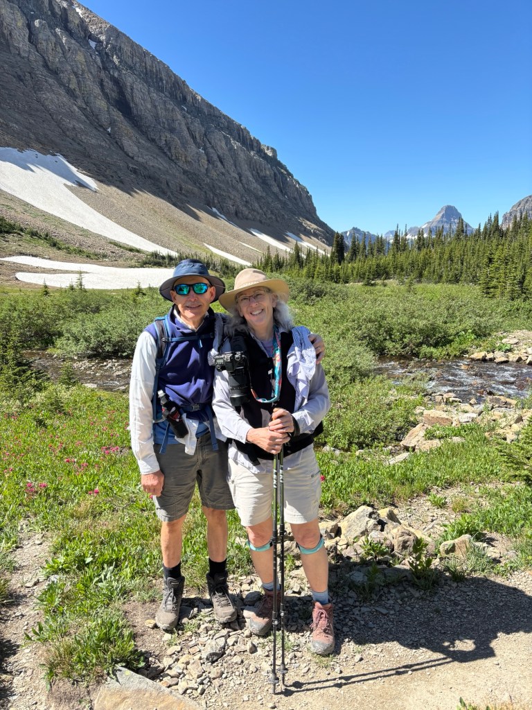
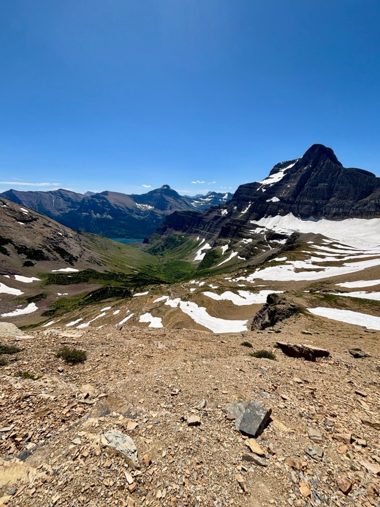
The other side of the pass opened up to more spectacular mountain views and a lake far, far below. I took in the view quickly and then turned around, both because my parents were waiting and I needed to find a spot to pee! I hustled down the switchbacks, as much as I could hustle. Between the loose rock and “take your breath away” strong winds, it was quite the adventure. I couldn’t help but laugh, scream for joy a bit, and marvel at the amazing privilege of being alive in those moments. The views were just unbelievable.
The rest of the hike down was lovely, calmer. I was so proud of my mom for conquering that hike. We celebrated back down at the river with some cold water splashed on our faces.
That night, back at the campground, we were tired but happy. And to round out an already lovely day, I snagged a shuttle ticket to Many Glacier! Luck was on my side! Today was a good day and tomorrow promised to be another one.
Alright, Glacier National Park, here we go! Almost. I got up and ready to go, bag packed, and eagerly set out for the visitors’ center. I hustled there to make sure I had a spot in line for the 8:30AM shuttle. I crossed the bridge and entered the parking lot, spied my parents in the line, and jaunted over full of excitement.
There was a long line, which peaked my curiosity. And then the look on my parents faces didn’t match my excitement, so worry grew. Come to find out, the shuttle was having mechanical issues and the 8:00AM one hadn’t even taken off yet! Noooo! I wasn’t eager to drive after 7 days on the road, but I also didn’t want to wait around to find out if the shuttle may get up and running. So we made a quick decision to head back to my camping spot and start up Sunny. Eight tenths of a mile back, I was framing this a a good warm up for the hike.
Once we hopped in Sunny and took off, driving was smooth. As we approached the trailhead, parking lots looked mighty full. Ok, no problem, we can go to the next one, I thought. Well the next one was full, and then the pull out was full, and then we were about a mile from the trailhead in a pull out that didn’t say “no parking” but also clearly wasn’t a designated parking area. Well it was this or we bag the hike, so I was brave and left Sunny there, hoping for the best.
We headed down the side of the road, being careful to move over when cars passed, to the trailhead. The good news is the walk to the trailhead was slightly down hill. The less stellar news was our intended 4 mile hike was already 2.6 miles for me and we hadn’t even hit the trailhead. Ugh.
Once we hit the trailhead, some of the stress from the day melted away. The hurdles of the morning were behind us and we were still going to make this happen. The sun was out, the sky was blue, and I was at GNP. Life was still pretty great.
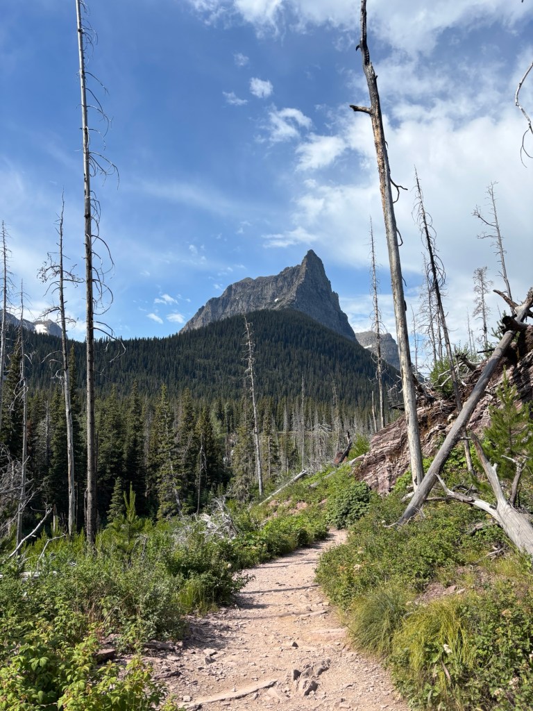
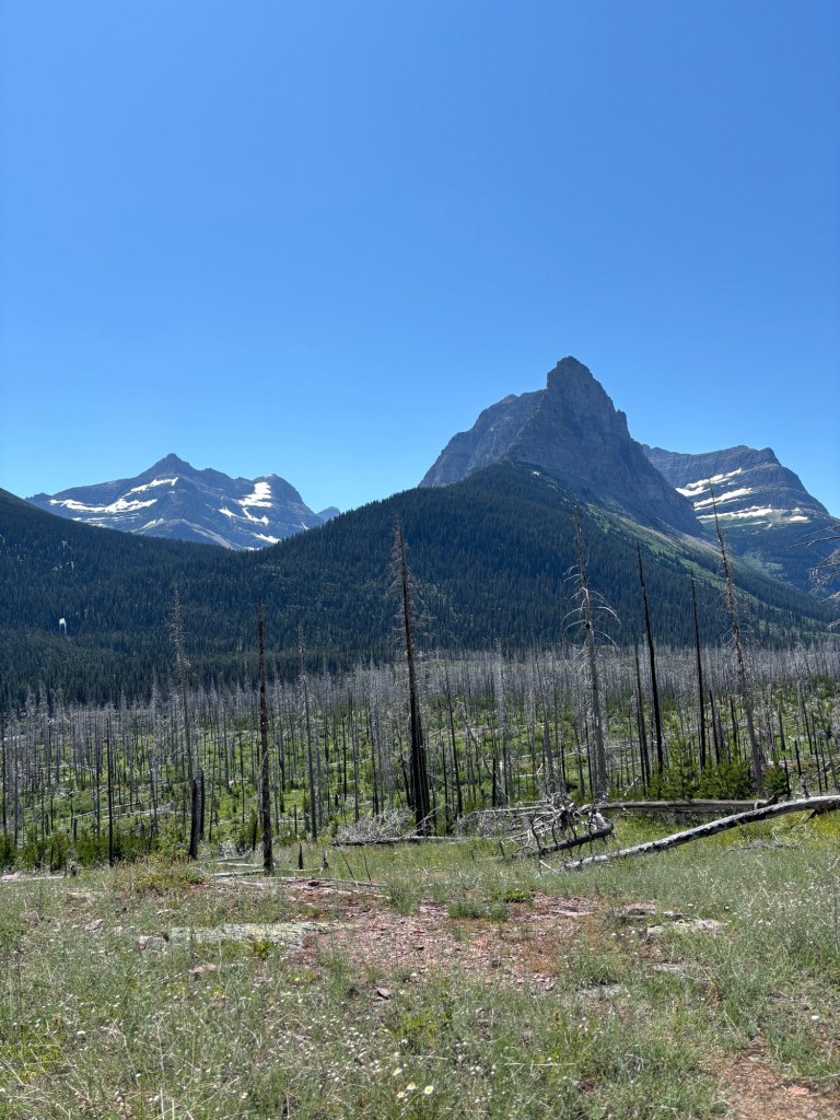
The trail started out through a forest reinvented itself after a forest fire many years ago. The charred trees still stood tall, gray and weather, but warriors nonetheless. All around them life was restarting, green shrubs and saplings and wildflowers emerging. Mother Nature is so resilient. She is inspiring.
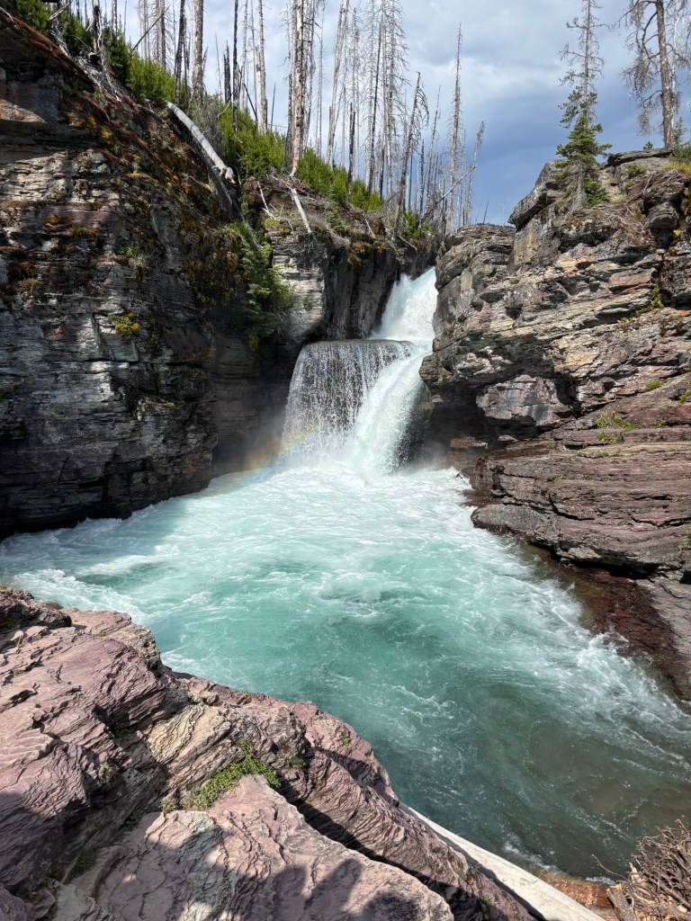
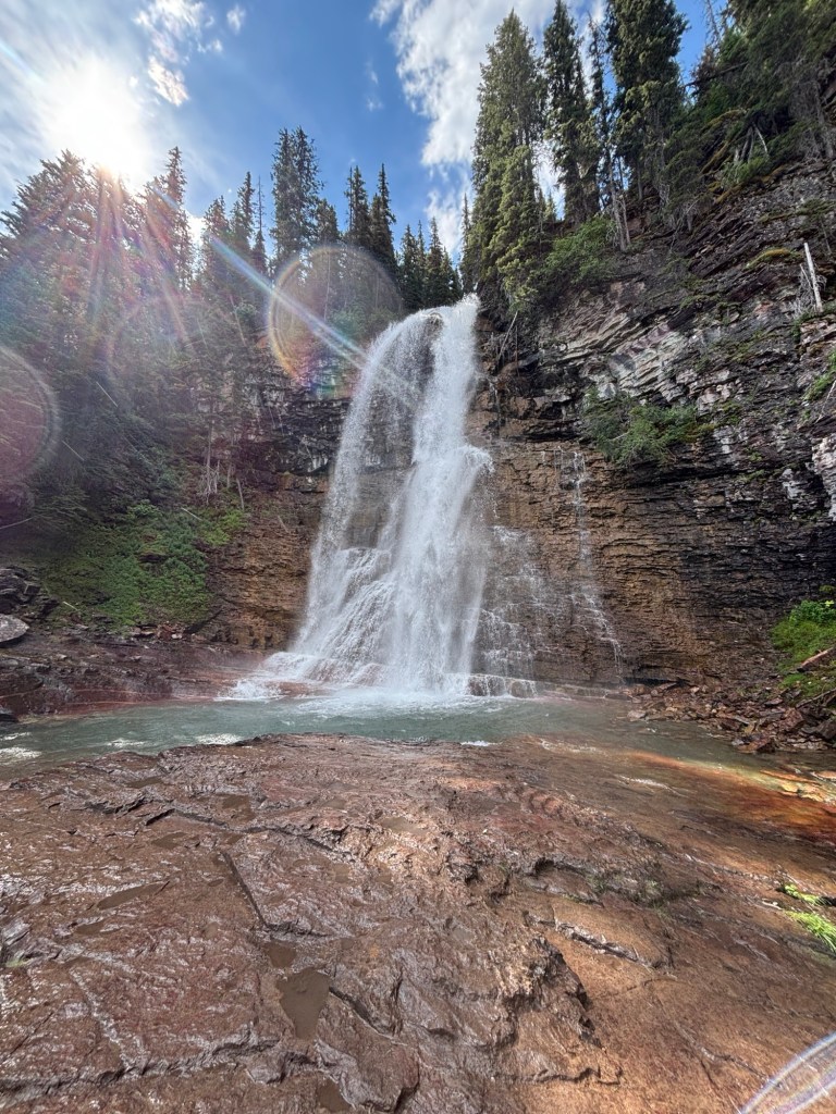
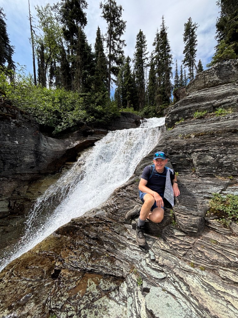
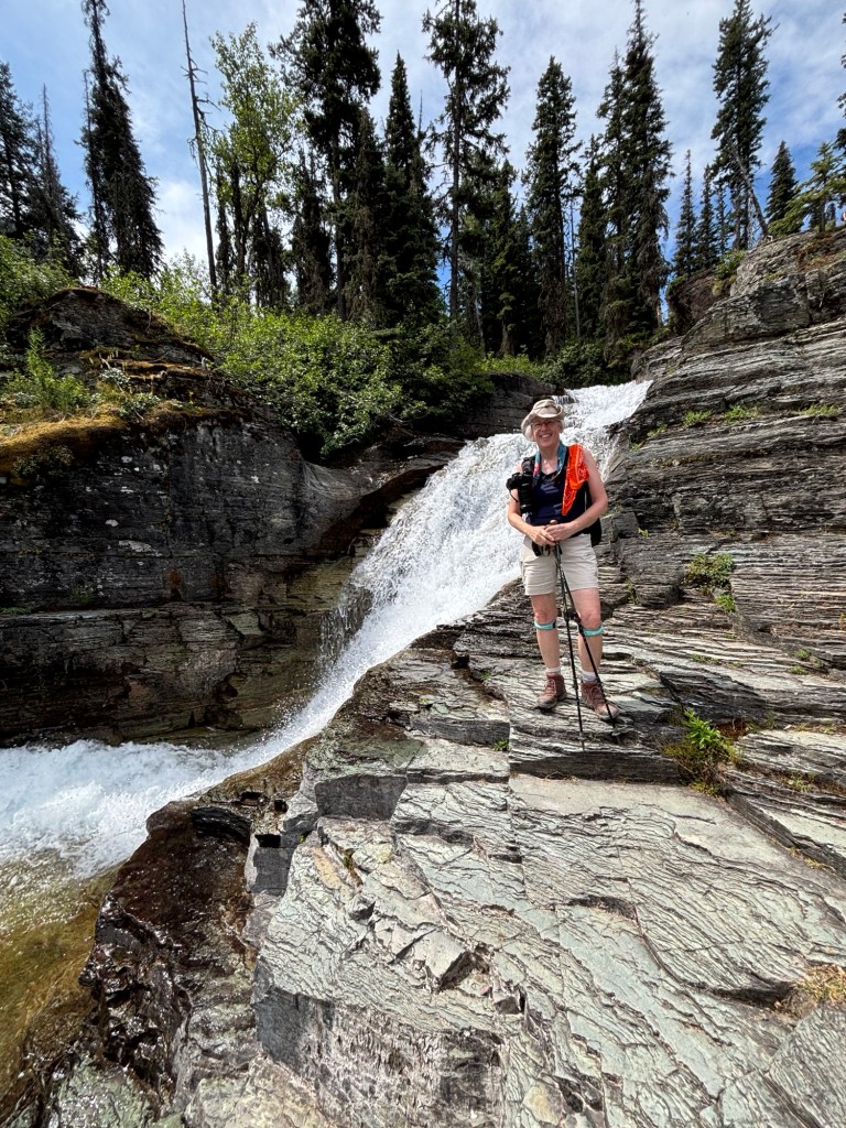
We meandered along the river, soaking up the sun, and soon came to the first waterfall: St. Mary’s Falls. The icy water poured over the ledge and dropped into a swirling teal pool below. The power of the water pounding down made it bubble up, like a volcano about to erupt. It then escaped and flowed under the bridge and out into the river, onto its next adventure. The sun hit the mist just right too and a small rainbow formed. It brought me so much happiness.
After admiring the power of water for a bit, we continued on to the next spectacle. The great thing about continuing just a little further down a trail in a national park is that the crowds thin out. Ahhhh. We passed two more unnamed waterfalls, each a fun slide of water twisting and turning down rock chutes. We paused briefly at each, planning to stop and admire them more thoroughly on our way back.
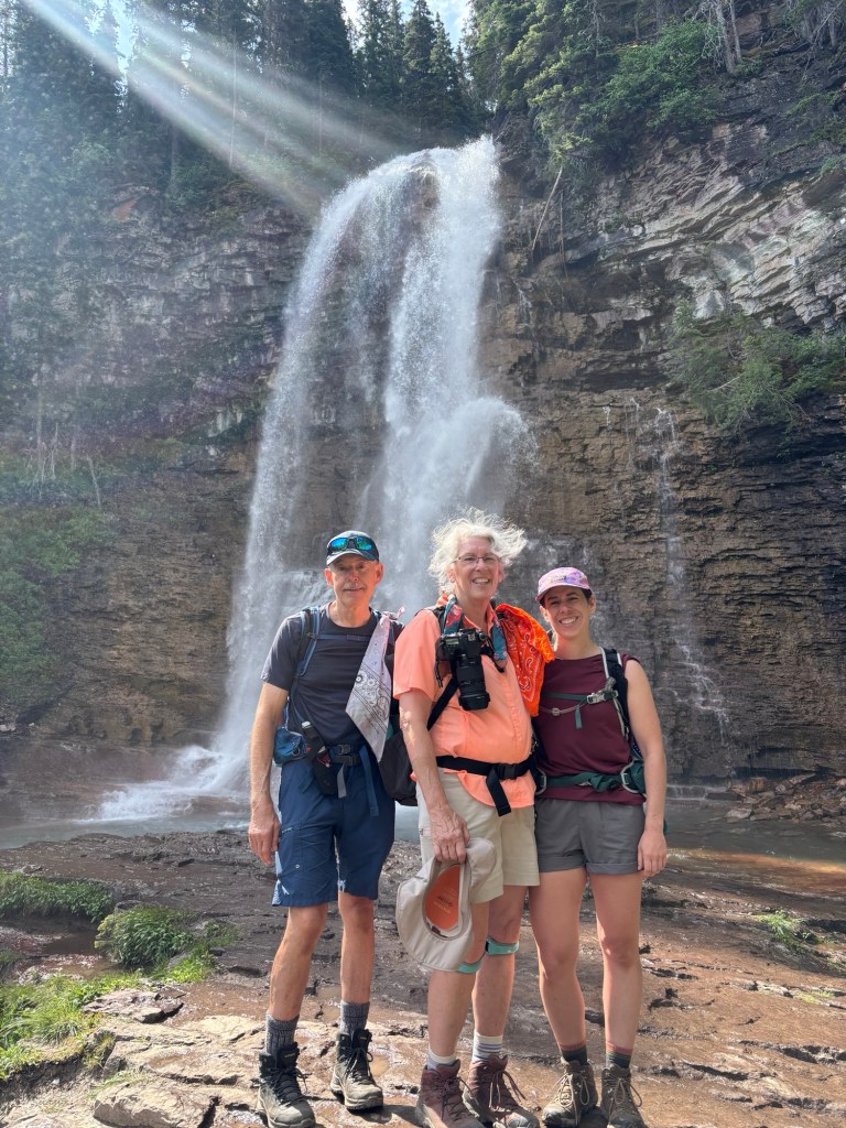
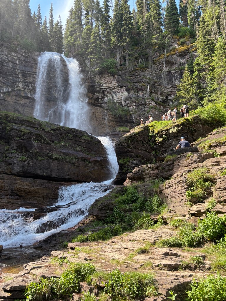
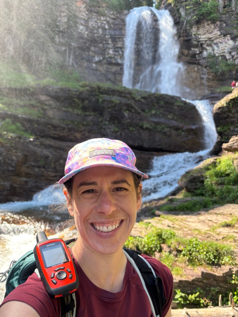
Our final destination on the hike was Virginia Falls and it did not disappoint. A tall tower of water plummeted over a cliff edge and misted us with a welcome cool bath. The roar was immense and rhythmic. While I enjoyed being right there at the falls, being down below on a rock in the middle of the river, sitting and looking up at the cascade was even better. I had the spot all to myself for a while and it was just lovely.
On our way back we stopped for lunch, lingering at a smaller but no less wonderful waterfall. Climbed like mountain goes down to the bottom of another for a different view. And paused back at St. Mary’s to marvel at the unbelievable color of water one more time.
As we hiked out, someone passed up and said, “Kathleen?” My mom kept going but I said, “Yesss?” It happened to be my mom’s cousin, her husband, and daughter! What a fabulous surprise! We embraced each other and tried not to block the trail, but it was just so surprising and exciting! What are the odds? We chatted with the Melaney’s for a while but eventually had to go. The mini family reunion was definitely an added highlight of the day!
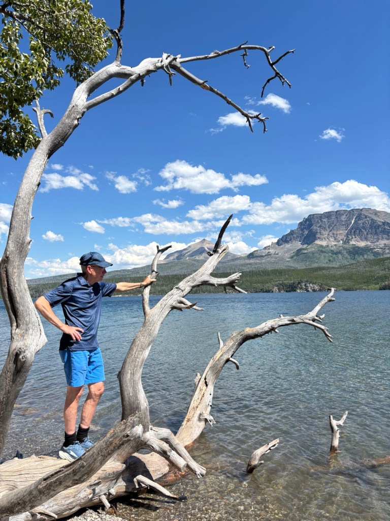
Hearts full and heads happy, we continued out. I walked the extra mile back to get the van, narrowly made it out of my parking spot, and drove back to pick up my parents at the trailhead. After dropping them off at their bikes, I opted for a quiet afternoon alone and found a secluded spot on St. Mary’s Lake to relax. A little sun bathing, a very quick and chilly dips in the water, and some rock hunting was a perfect end to the day.
A van shower, leftovers for dinner, and an early bedtime rounded the day out nicely. More adventures to be had tomorrow!
July 1st reunited me with mountains! After leaving our helpful Harvest Hosts in central Montana, we continued the trek west across wide open spaces. It started to feel like we’d never seen anything other than flat farmland and rolling cattle grazing land. But then, after a few hours of driving, we turned a bend and I spotted mountains! They were far away and hazy, but they were there. I couldn’t help but smile.
The closer we crept, the bigger they became. Soon I could spot snow patches up high and even start to make out trees. The excitement helped alleviate some of the fatigue. I got really excited when we started climbing and dipping and bending around curves. Oh mountain roads, how I’ve missed you! Around every corner there was a new surprise, a spectacular view.
We soon turned off the highway and into Glacier National Park. I whipped out my park pass and was ready to go. Let’s do this!
We stopped at St. Mary’s Visitor Center to gather information and make our plans for hiking. Unfortunately, we found out some of our hopes would not com to fruition because the Many Glacier area has a ticketed system currently due to construction. So it’s unlikely we will get to explore over there, which was hard to hear. There are many other spectacular things to see, but I had hoped for a specific hike. These things do happen though.
Once I navigated the disappointed, we made a plan to go down to St. Mary’s Lake to soak up just a bit of the splendor of the park. We ate a late lunch at the picnic area and were joined by two prairie dogs squeaking out their warning calls to their friends and family. Their chirps shake their whole bodies and are just delightful to watch. But stay away – they are known to carry diseases! Fortunately, they don’t like humans much and usually duck right into their holes as soon as you step towards one. Smart animals.
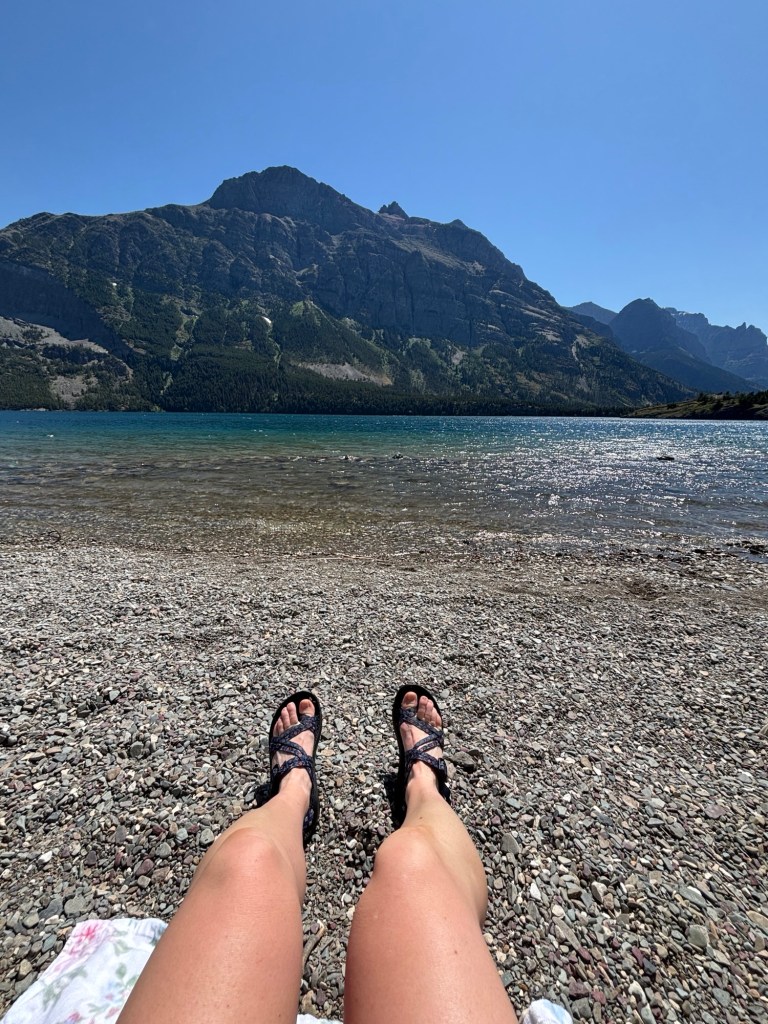
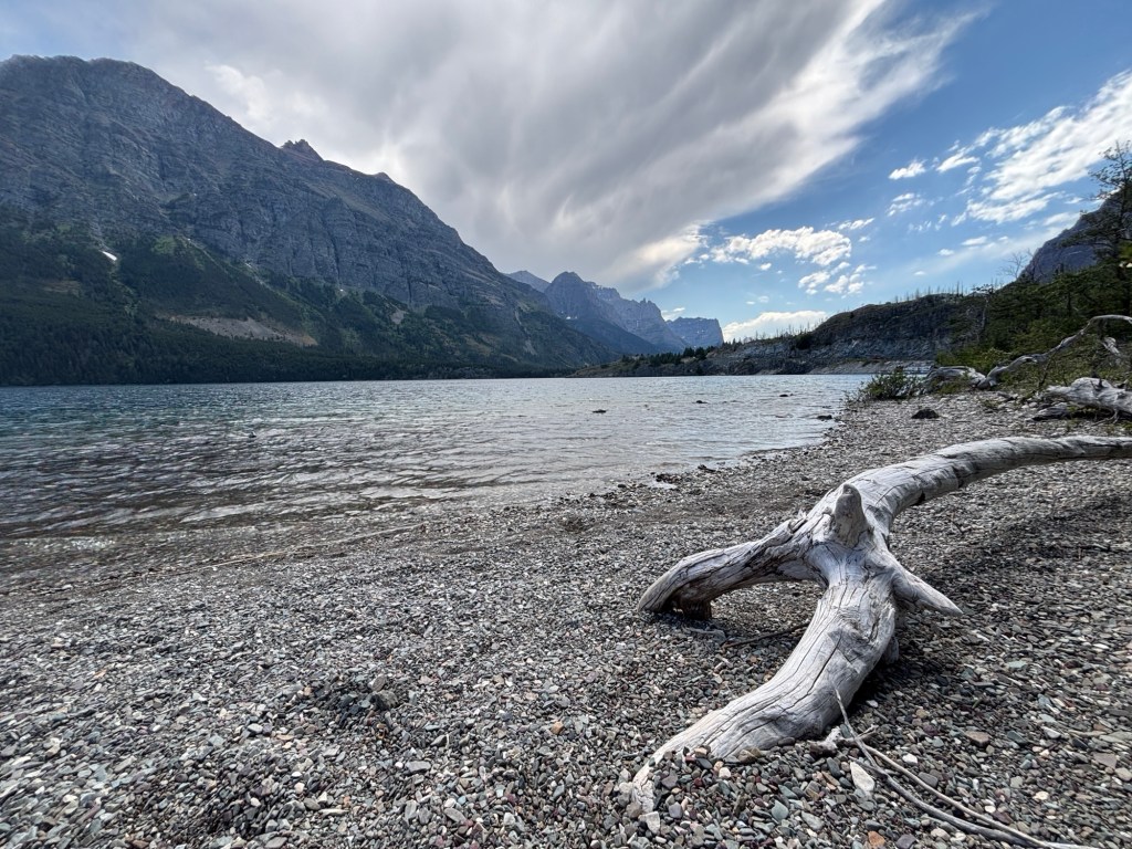
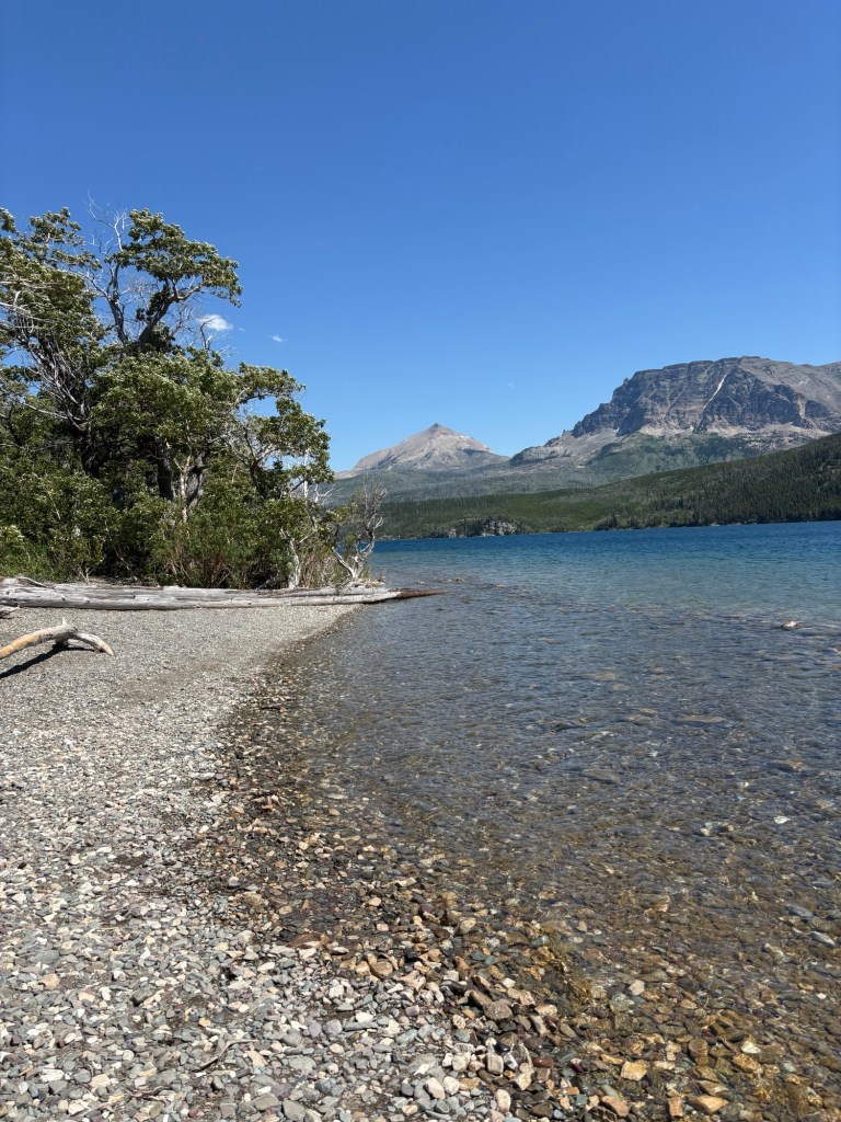
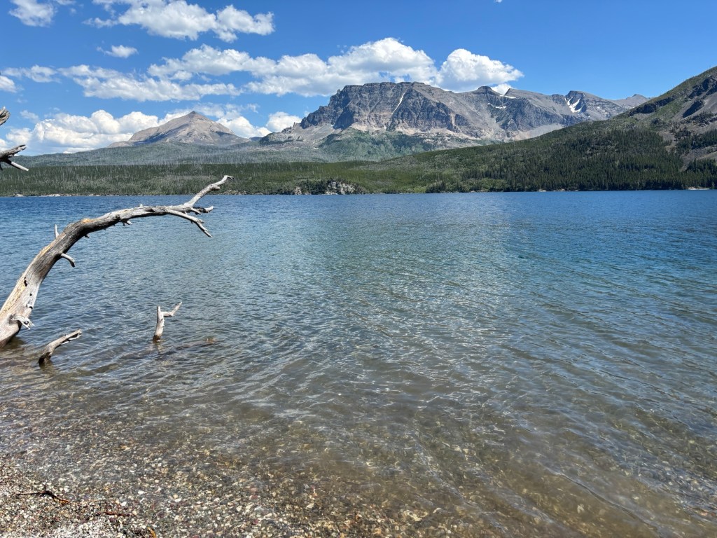
After, we sat on the pebble beach, admiring the massive lake and giant mountains on its far shore. The pebbles made for good rock hunting with gems of stark white, brick red, plum purple, and dove gray. A beautiful floor. And I couldn’t resist a dip, taking off my shoes and wading in up to my knees. Brrrrr, it was cold, but so refreshing!
My parents and I then went our separate ways for the evening, them to their campground outside the park and me to my spot inside. I set up camp, made dinner, and was surprised to find out that my fridge started working again! It had conked out sometime the previous night and totally defrosted. Yikes! We were able to save most things and got a cooler with ice. Glad my fridge is working again, but I don’t trust it. Haha
The end of a full day, I made dinner, relaxed, and headed to bed. I needed my rest for hiking the next day!
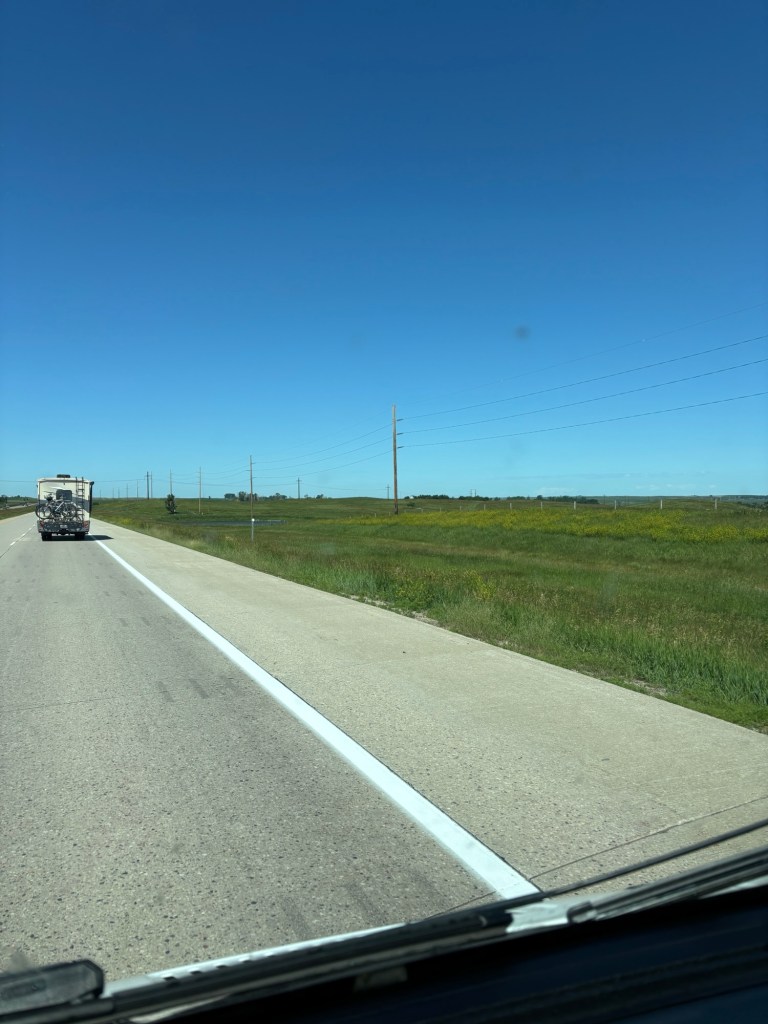
Seven days of driving. 273 miles, 349, 350, 299, 312, 400, 353. Wake up, eat, stretch, drive. Stop for gas and a snack, drive. Have lunch, drive. Get more gas and stretch. Drive. Set up camp. Do it all again. It’s been a consistent routine this first week, sometimes dull, often tiring. But also a beautiful reminder of how vast our country is, how diverse the landscape is, and how lucky I am to see it all.
I’ve driven from Vermont to Montana, through nine states in all. That feels tremendous, and is quite the accomplishment, but is only 18% of the states in our country. That’s wild! It’s so easy to forgot how massive is the United States. There is so much to see, do, appreciate. We’ve driven across the land of the Abenaki, Haudenosaunee, Mohawk, Onondaga, Erie, Fox, Peoria, Kickapoo, Ho-Chunk, Menominee, Anishinabewaki, Métis, Cheyenne, Plains Cree, and so many more.
A lot of the drive I missed the Vermont landscape. The rainbow of green, the mountains and rolling hills, the emphasis on preserving the land. It’s something we value in Vermont and I’m proud of that. I had most definitely confirmed that I am not a city person. The traffic, the billboards, the noise, the construction- no thank you. My stress levels appreciate that we’ve reached the wide open flats of eastern Montana.
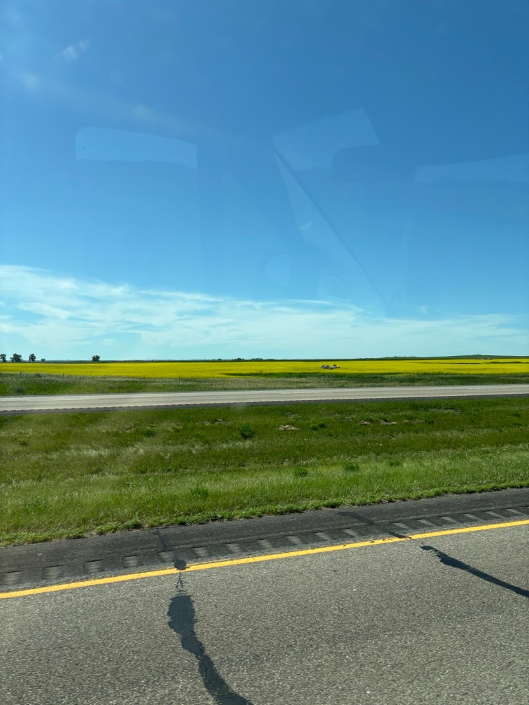
Along the way though there have been many moments of ahh and wonder though. For example, the grandness of the farms across the Midwest. Corn and soy bean and canola field that stretch hundreds, thousands of acres. They dance along the land like a giant quilt someone is shaking out. With few trees, and no mountains, you can see for miles. The vibrant, nearly neon yellow of the canola flowers is always a delightful surprise, it grabs your attention right away. And then there are the deer that wander through the fields, or the antelope that thinks about crossing in front of you and then thinks better of it. (Thank you antelope!) or the giant cow statue on the top of a hill, or a chicken statue. Things that just make you pause and giggle, which is much needed.
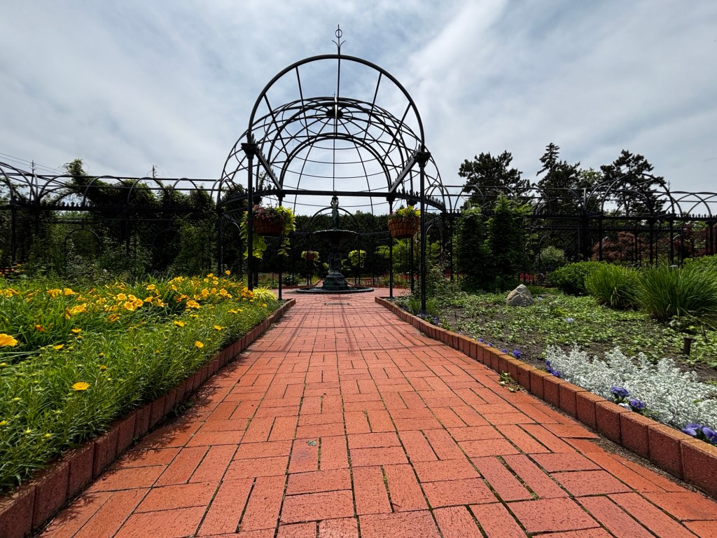
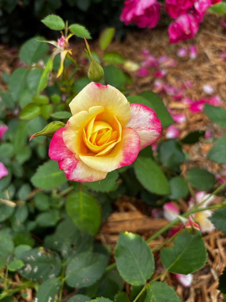
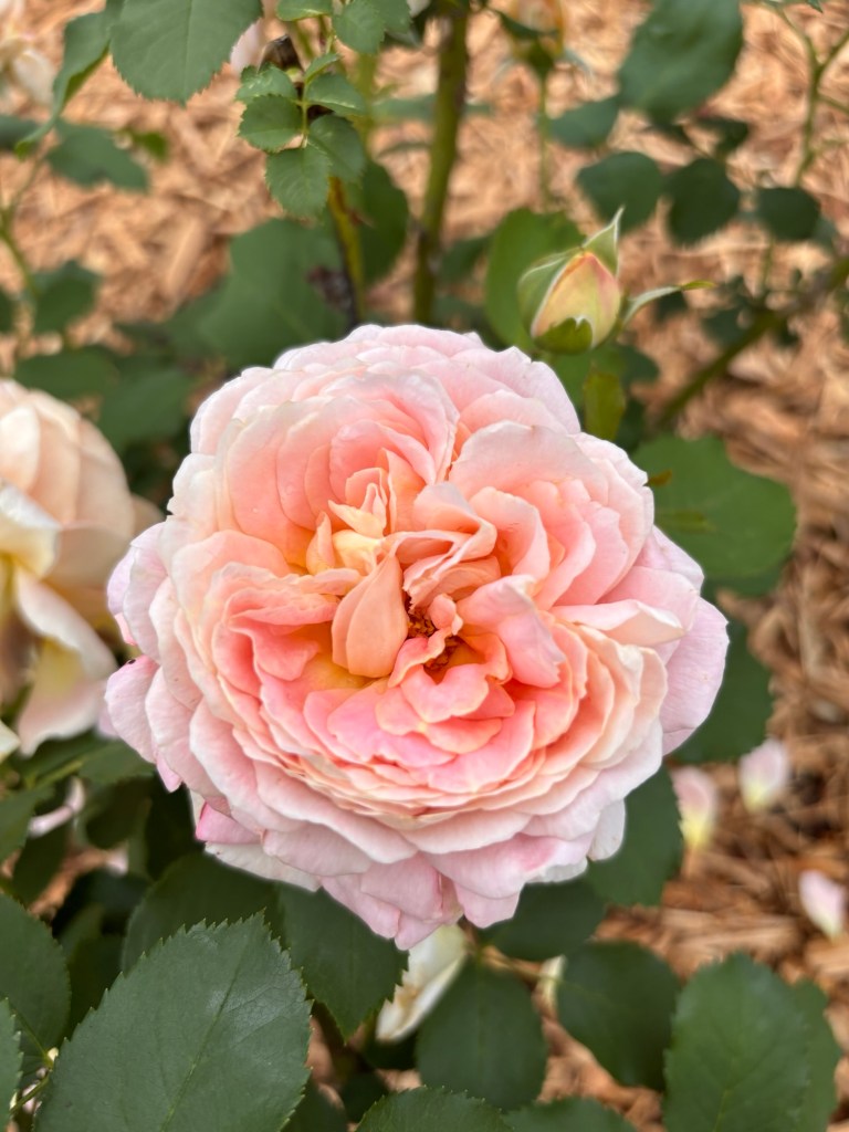
We also went back to Munsinger and Clemens Gardens in St. Cloud, Minnesota. My parents and I discovered this gem on our last trip and although we visited earlier in the season this time, it did not disappoint. The tremendous effort put in to plant and maintain this oasis is in and of itself a wonder. It’s a delight to the senses to meander and enjoy the colors, shapes, and scents. I’ve got some new ideas for my own gardens when I get home!
There’s also been joy in the puns encountered on signs. Like through the Adirondacks when the carpenter’s business was aptly named “Maida Wood.” Or the LivINN or AmericINN. I am a sucker for a good play on words. And I’ve let myself laugh out loud each time. Something about laughing alone makes it even better because you are truly laughing for yourself because you loved something, no other reason.
We’ve managed to meet friendly people along the way too. We’ve stayed at a number of Harvest Host locations – a winery in Cleveland, a farm in Wisconsin, and a goat farm in Montana. Each time we’ve been greeted by welcoming hosts, eager to share their trade, their stories, and their space. My favorite so far has been meeting the goats. There were babies born just this morning! Adorable.
There have been some hiccups along the way too. My parents have had some vehicle troubles – tire blow out 30 minutes from home, ding in the windshield, loose component here and there. Fortunately everyone has been fine and everything has been fixable. There are bound to be some bumps in the road – often literally!
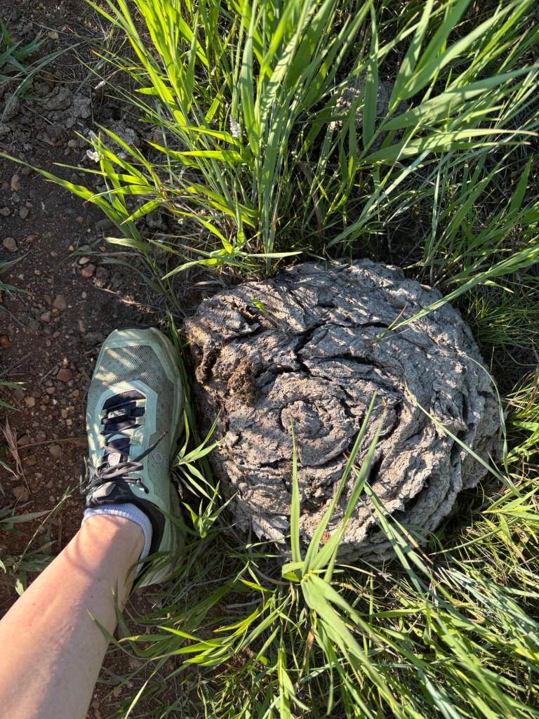
The highlight for me so far has been Buffalo Gap Campgrod in western North Dakota. A National Forest site, the expanse of wilderness felt like a homecoming for my soul. It was what I had been waiting for. This sense of total immersion in nature. While only there for a night, I snuck in an evening walk with my parents and a morning trail run. The wildflowers, views, and enormous cow plops made my heart feel fuller. And I can’t wait for more of it at Glacier National Park! Almost there!
While I’ve been driving, I’ve listened to many Mel Robins podcast episodes and highly recommend. Each one has given me something to reflect on and a few small, actionable steps to make for easy changes with big pay offs. Halluci Nation (thanks Jack and Ashley), N*SYNC, Mon Rovia, Noah Kahan, and Fleetwood Mac have also helped the miles pass quicker. Just sharing in case you are looking for something good to listen to. Stay tuned for more updates soon!
After spending time visiting with family in North Carolina, I sought out one last challenge. The trip was coming to an end, and while I was looking forward to seeing friends and family, I was also grieving the end of this amazing journey. It was a both/and situation. Happy and sad at the same time. Adventures ending and new adventures beginning.
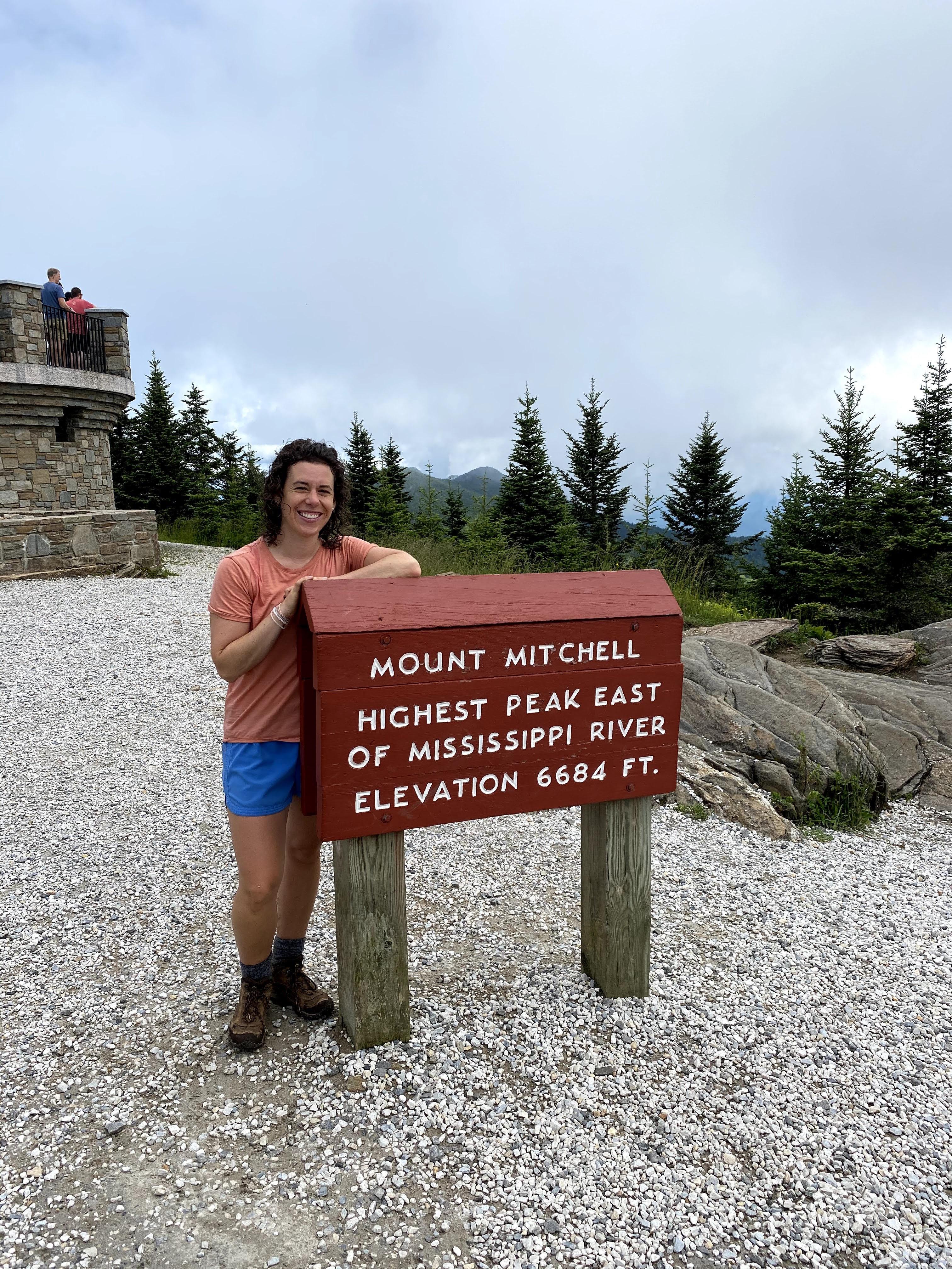
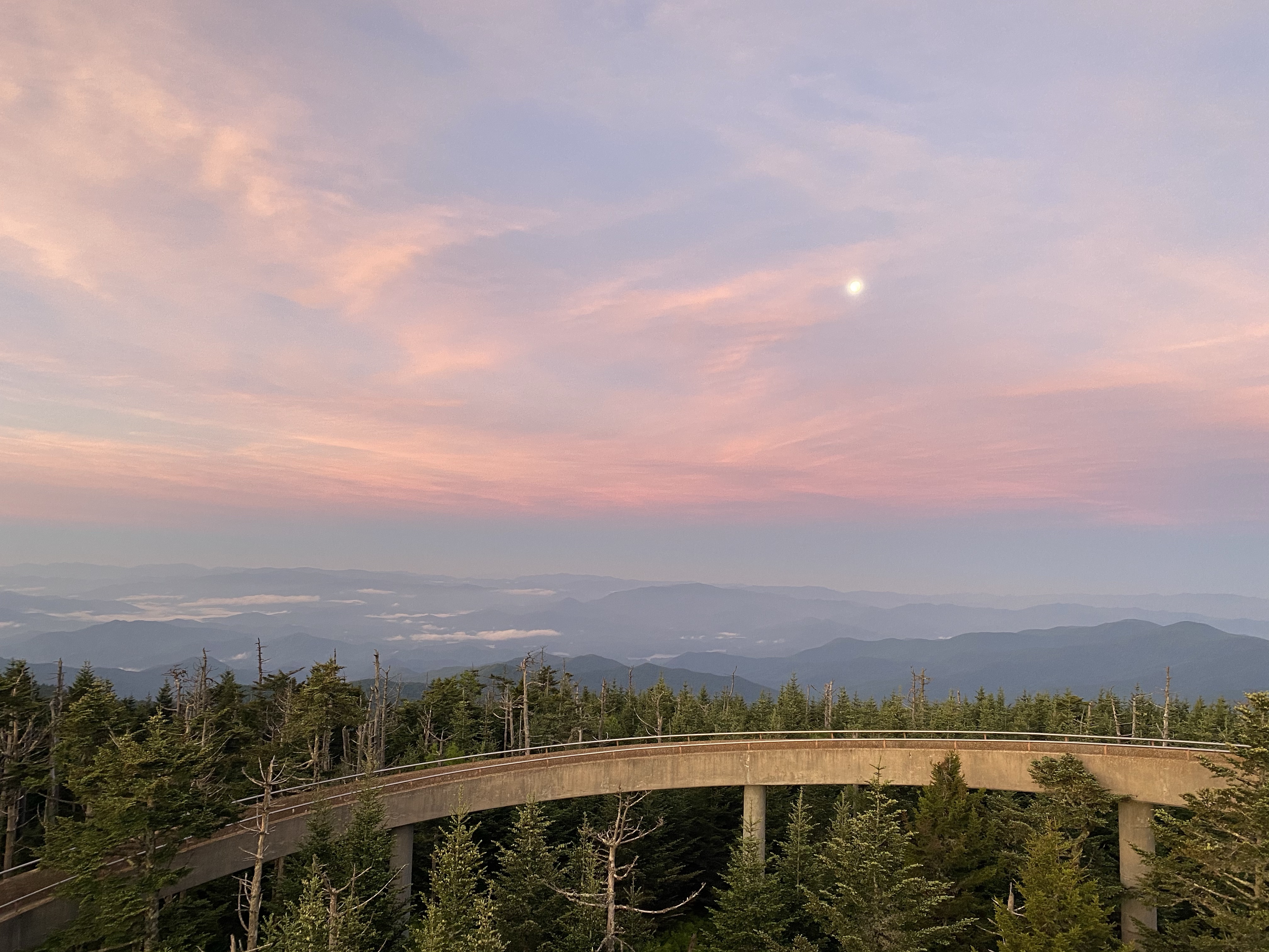
Despite all that I’ve accomplished on this trip, so many firsts, I still regularly doubt my abilities. Hiking Mount Mitchell was a chance to prove to myself that I am capable of anything I want to do. An opportunity to reassure myself that I have all I need inside of me to accomplish my hopes and dreams. I am proud of myself for how much I have grown and yet still need reassurance that I can do hard things. The one thing I had definitely changed on this trip is my mentality about pursuing opportunities and challenges that I want to. No more shying away, no more avoiding. If I want to do something, I am going to do it even if I don’t know if I can. With it or without company. So regardless of the self-doubt, I went for the hike.
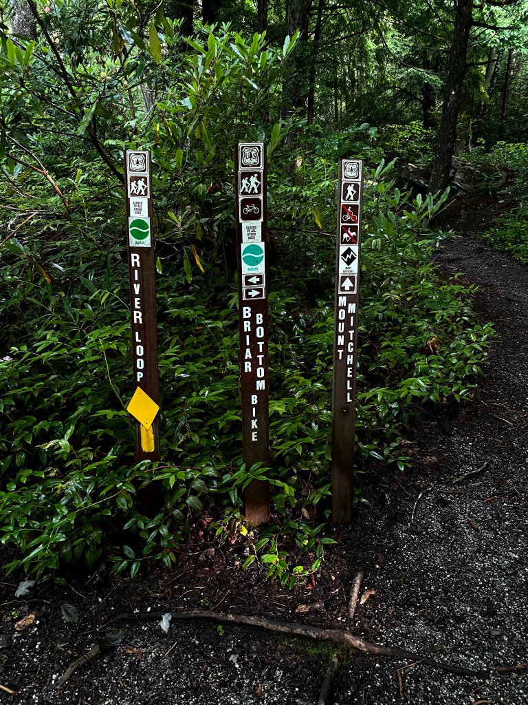
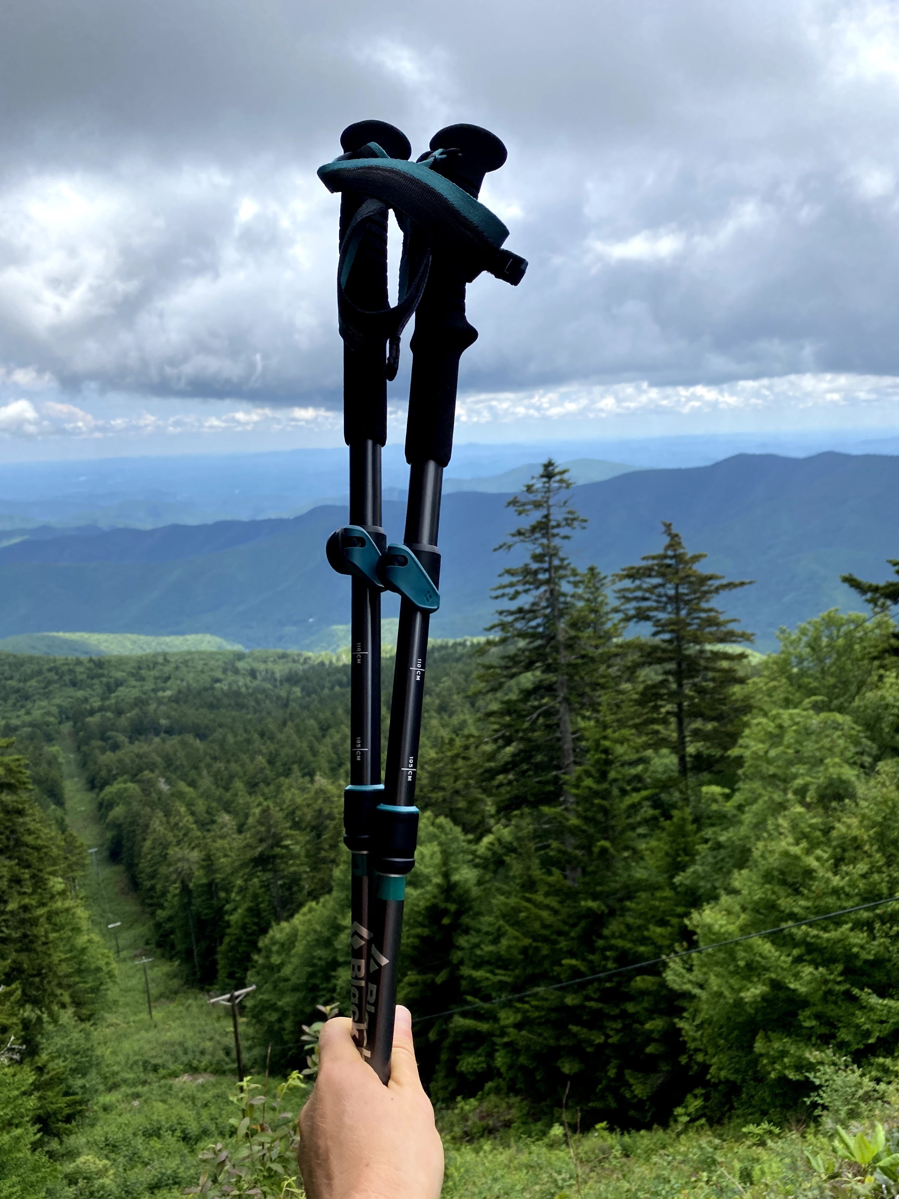
Early on a Tuesday morning, I woke as the sun rose and headed to the base of the mountain. The only car in the parking lot, I knew I had given myself plenty of time to summit the peak. With backpack full, new hiking poles ready, I started down the six mile trail that would carry me nearly 4,000 feet to the top. One step at a time, I told myself. Slow and steady. I can do this.
While I certainly have completed higher peaks this trip, longer hikes, more elevation gain, this was the most I’ve attempted on my own. I knew I was physically capable – I’d done 16 miles and 4,600 feet when I was far less hiking ready, but doing it alone was scary. And alone on the trail for the entire way up I was! My hiking poles provided much appreciated assistance. I had finally broken down and bought some a few days prior. I’ve known how helpful they are for a long time, but resisted the help because I felt “old” using them. It didn’t matter that I had seen children use them, young adult hikers like me use them, I had this stigma against them. I’ve conquered that though, pushed past the stubbornness, learned to accept the help. Now I don’t know why I waited so long! Funny how that happens.
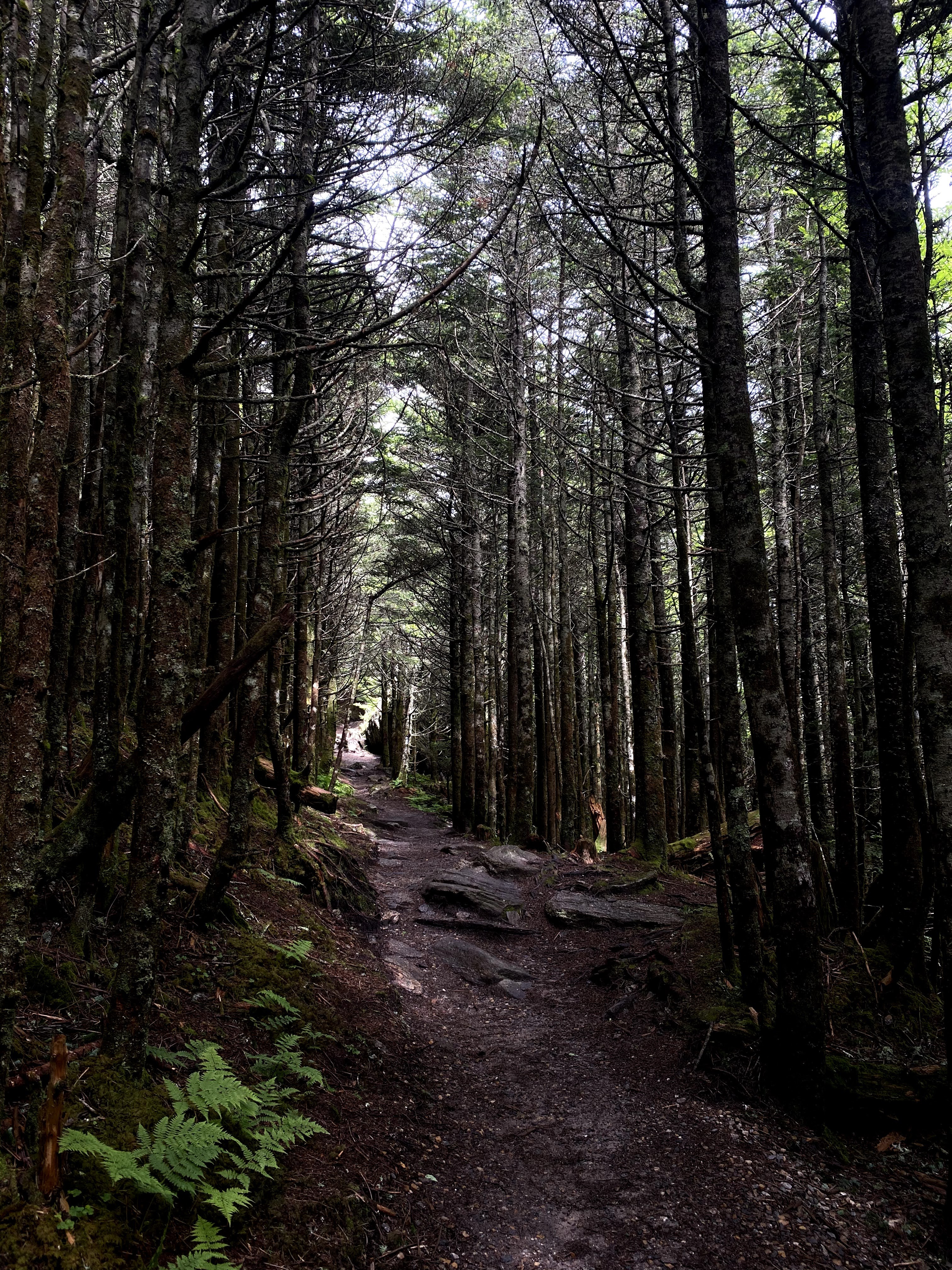
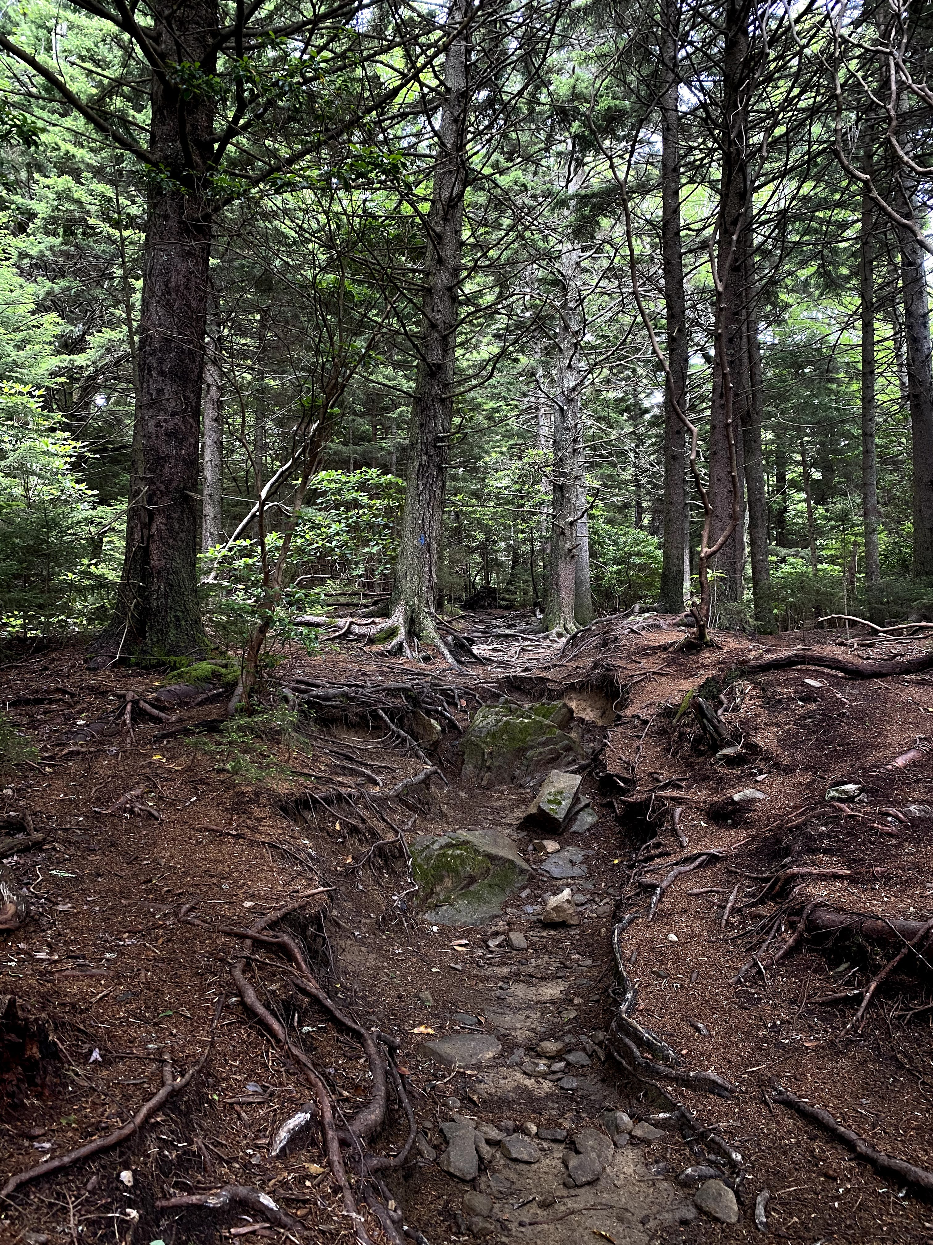
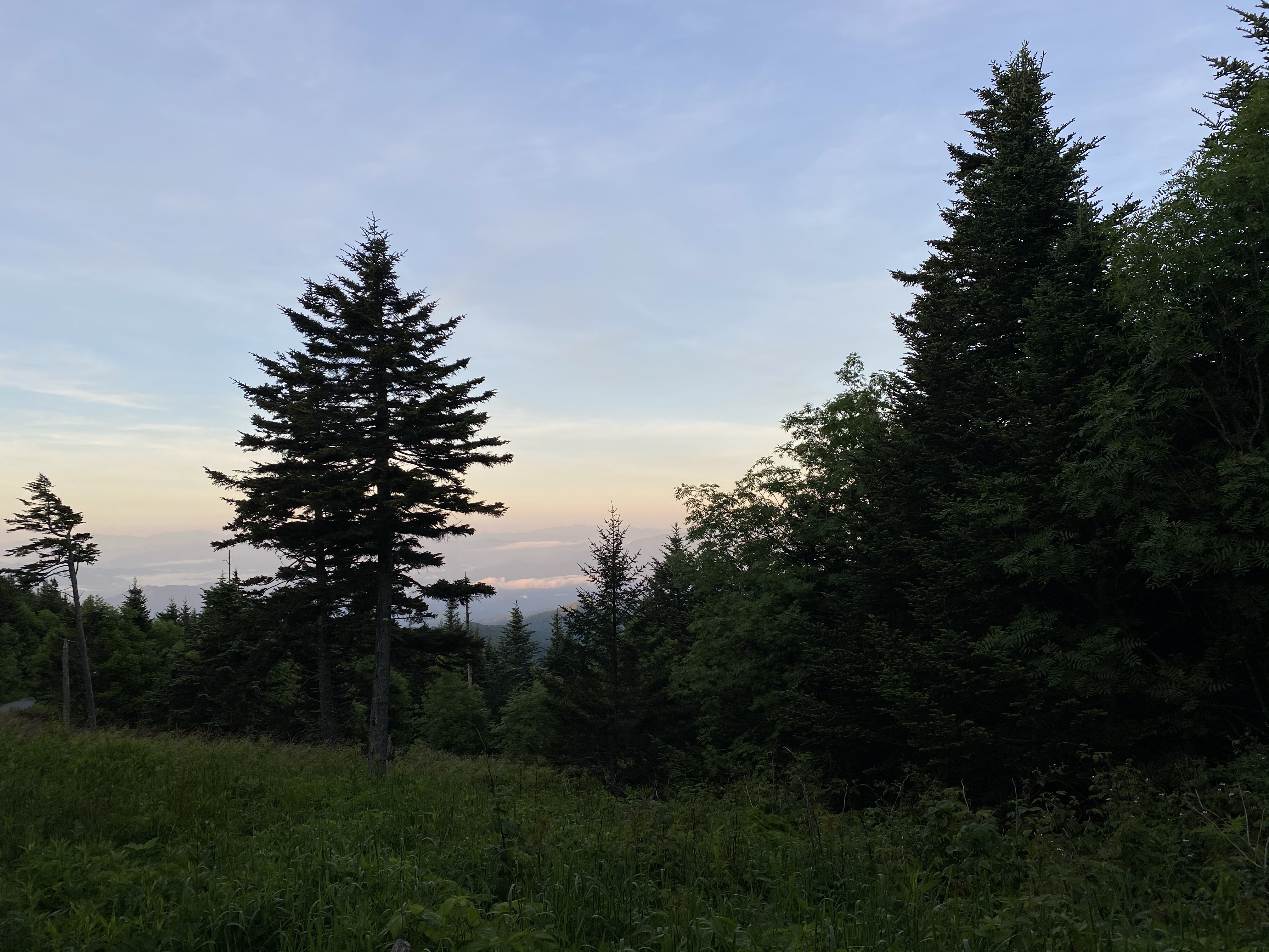
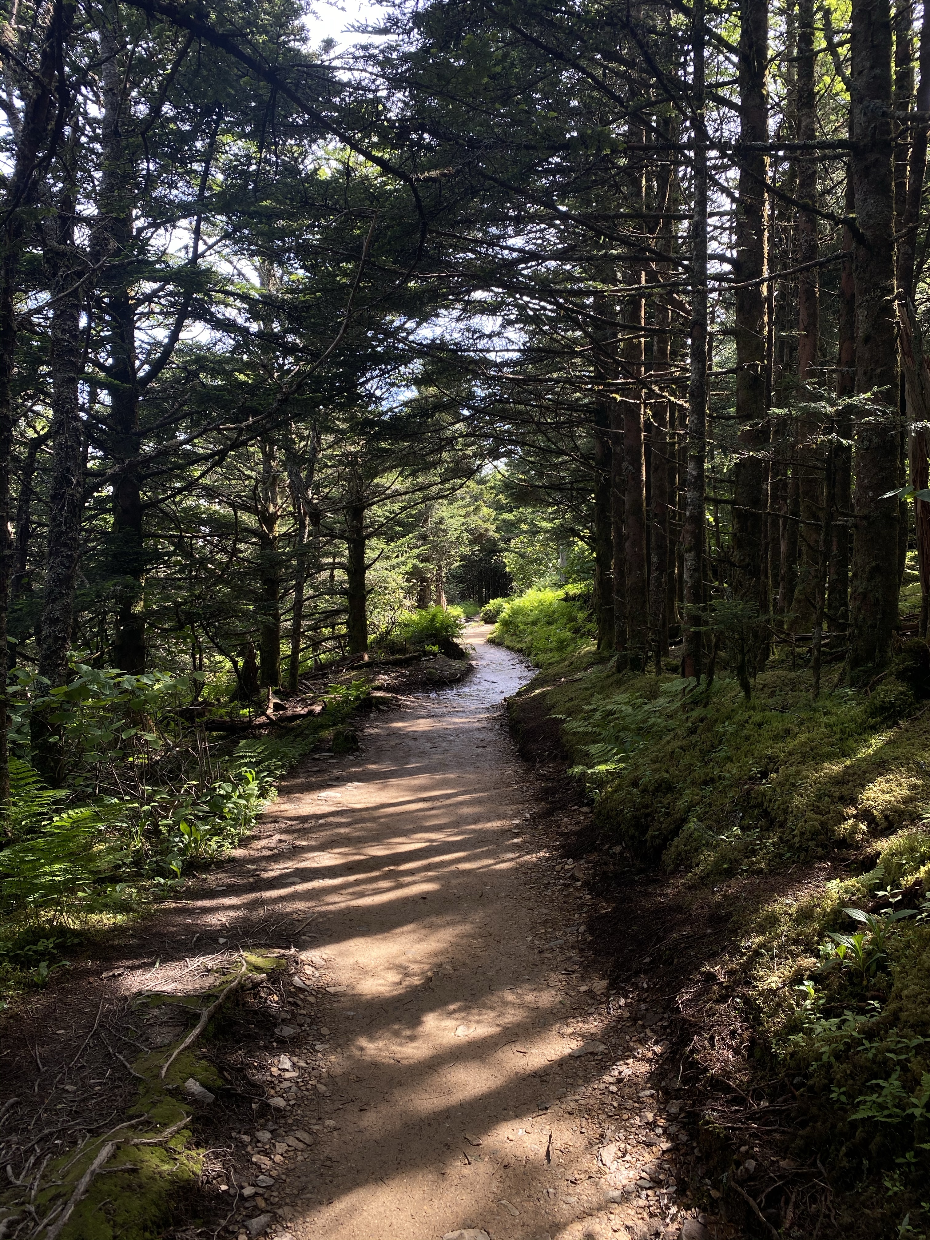
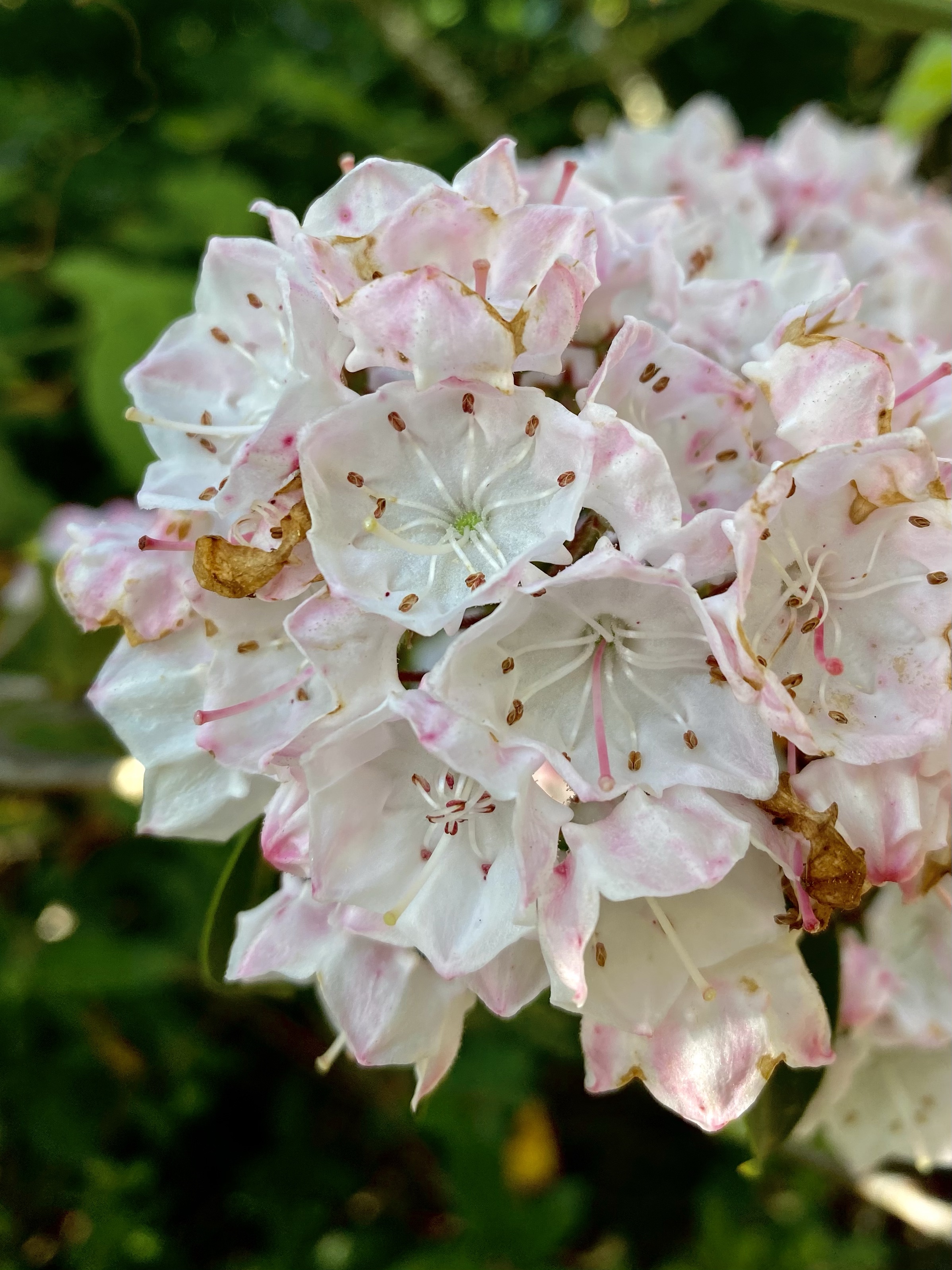
The trail climbs steadily through a thick forest. At times the path is rocky, at times deeply rooted. When tall trees aren’t blocking the sun, Mountain Laurels twist and wind upwards on the sides of the path. There were hardly any views on the way up, a rare peak of the horizon here and there, but mostly kept a secret by the woods.
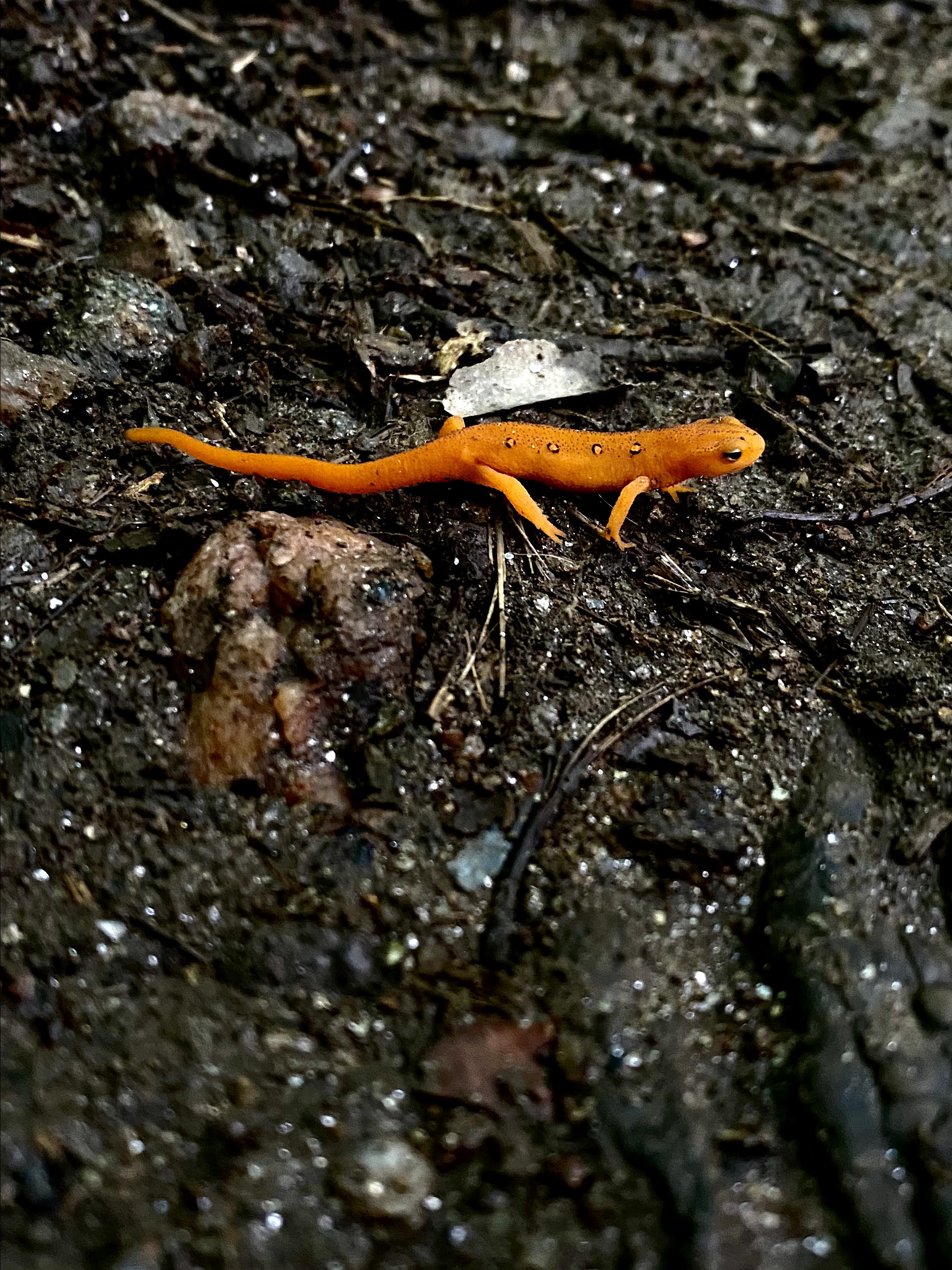
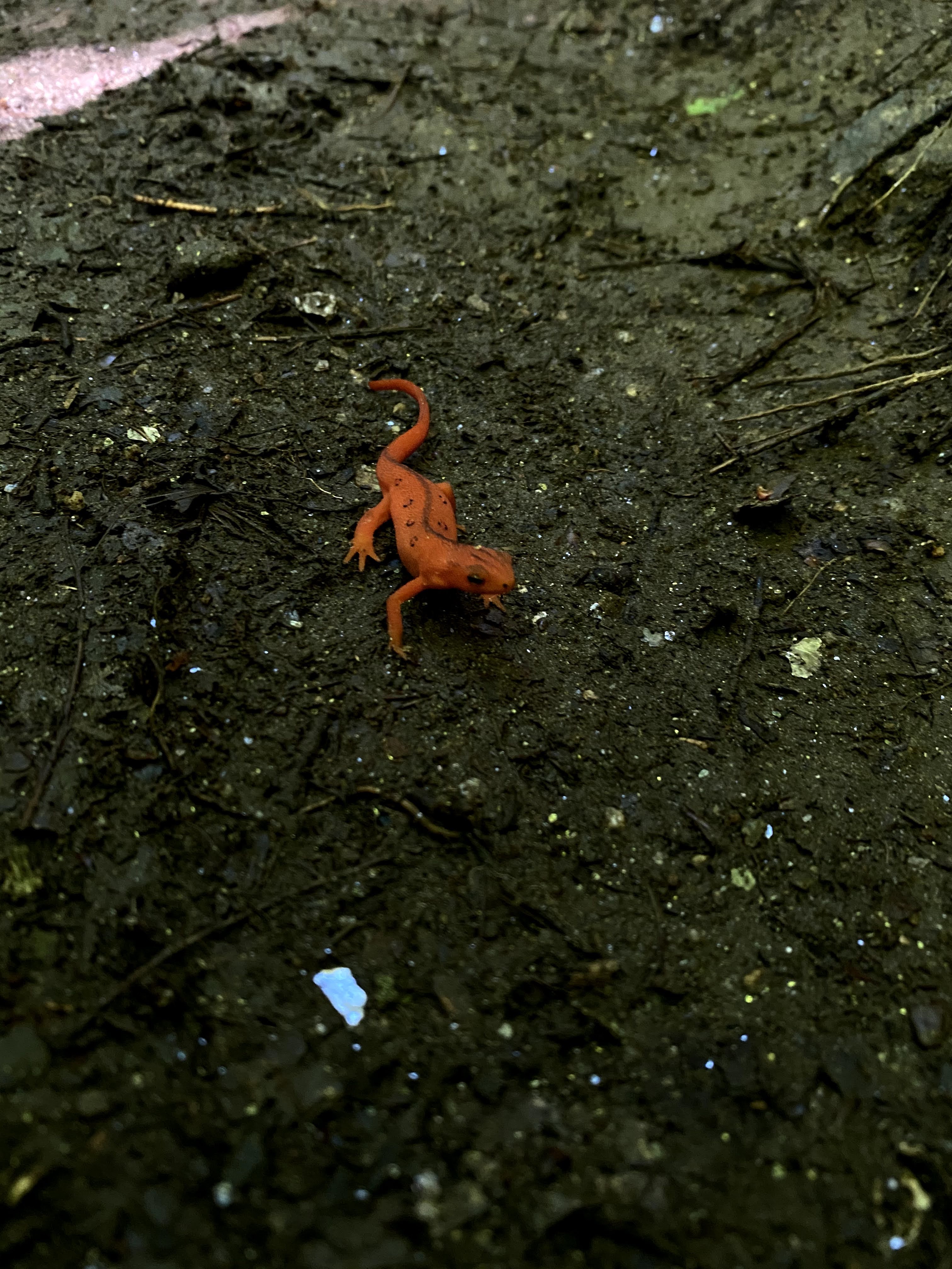
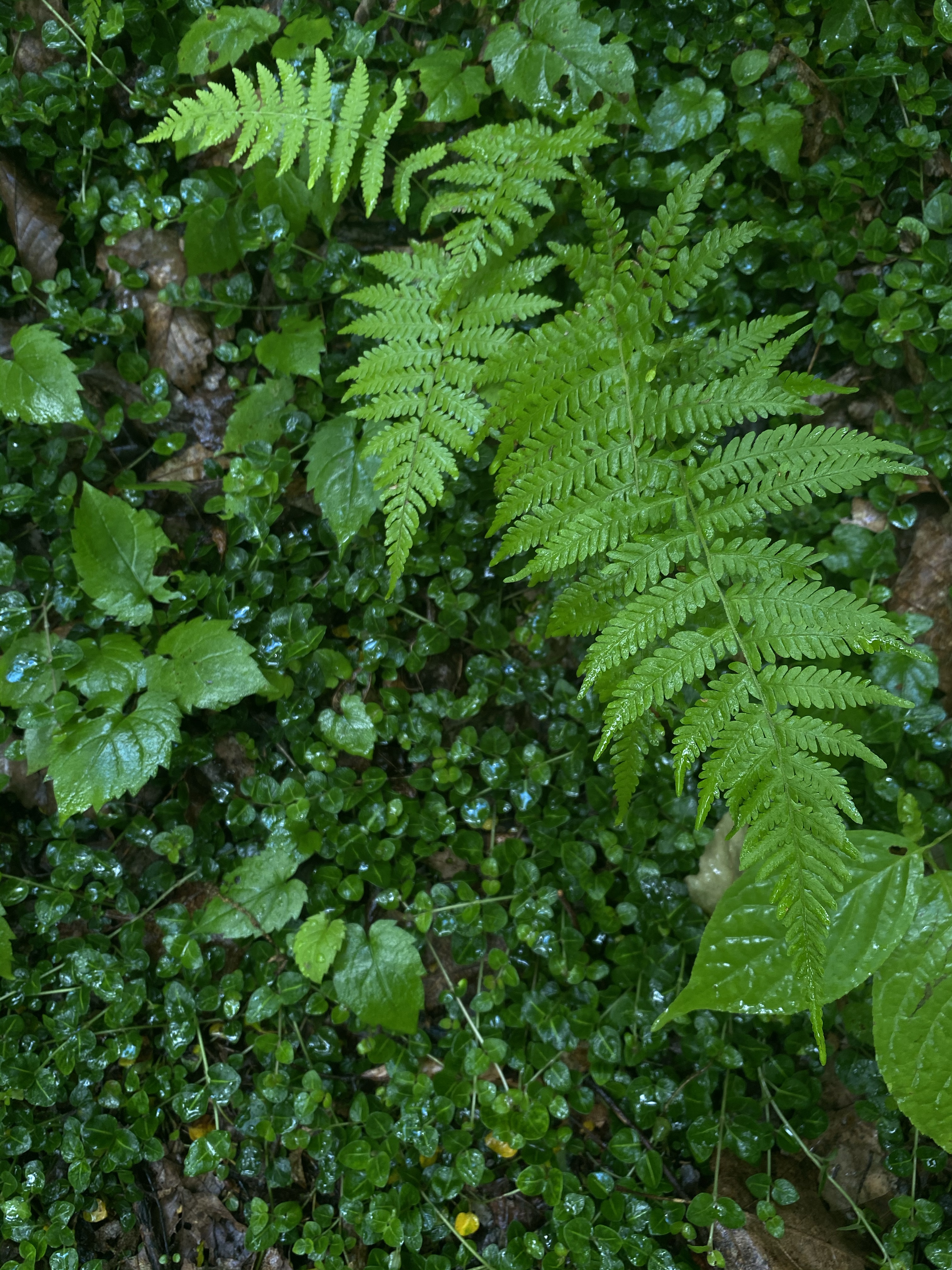
While I couldn’t see the surrounding mountains, I was kept company on the journey by little creatures and flowing streams. Bright orange salamanders with delicate dots stood frozen in the middle of the path, carefully eyeing me to determine if I was friend or foe. They skittered about when I came close, but never completely disappeared. I counted six in all on my way up, many more probably hiding nearby. The dampness of the forest provided a perfect home for them.
Every half mile I passed a trail marker, alerting me to how far I’d come and how much farther the summit was. When I finally reached three miles, the halfway point, I was feeling confident I could do this.
As I neared the peak, I finally spotted a few other humans, out on the casual loop around the top. I smiled and said hello, but quickly continued on, eager to see those views. I quickly emerged from the forest, sunlight poking through the clouds, and briskly walked up the paved path to the tower on the summit. The adrenaline was pumping now and nothing was going to stop me.
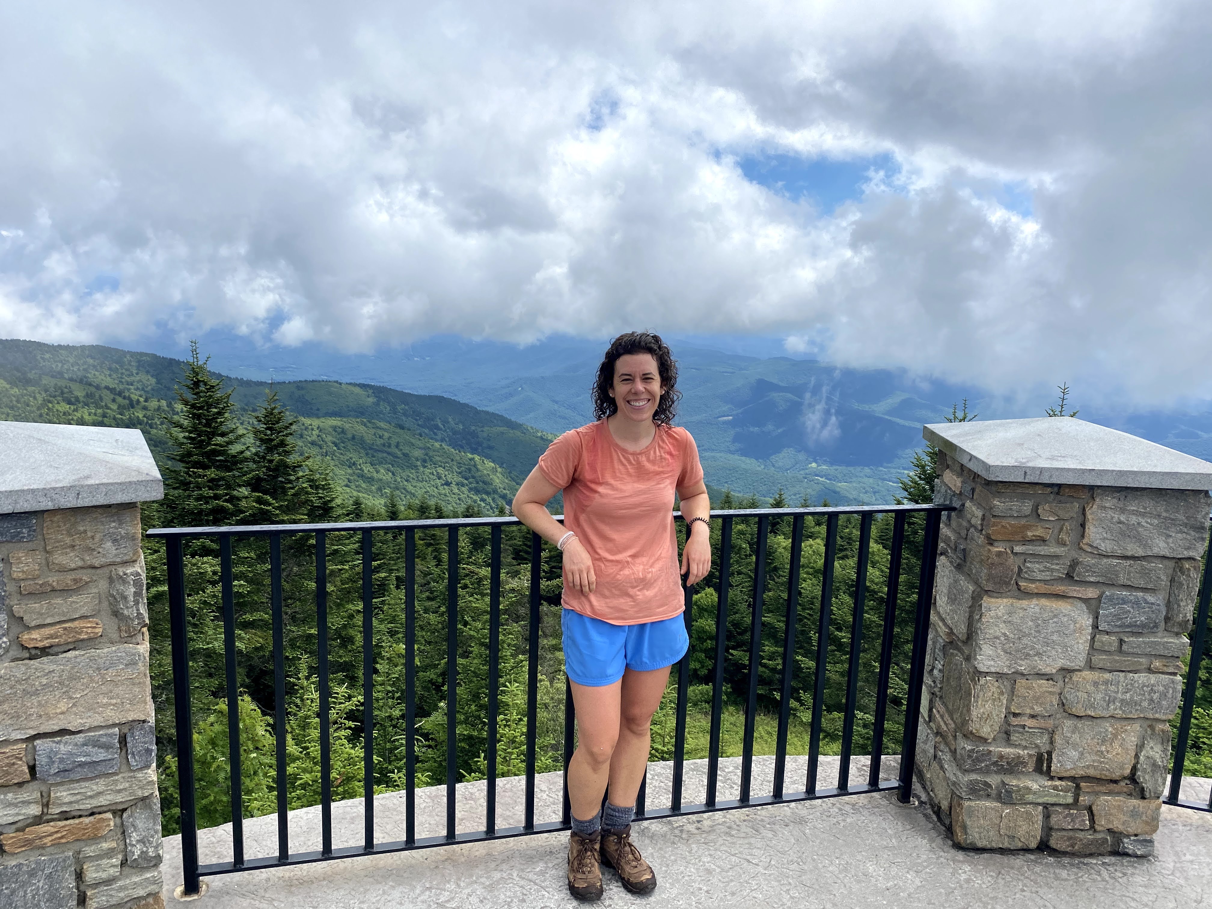
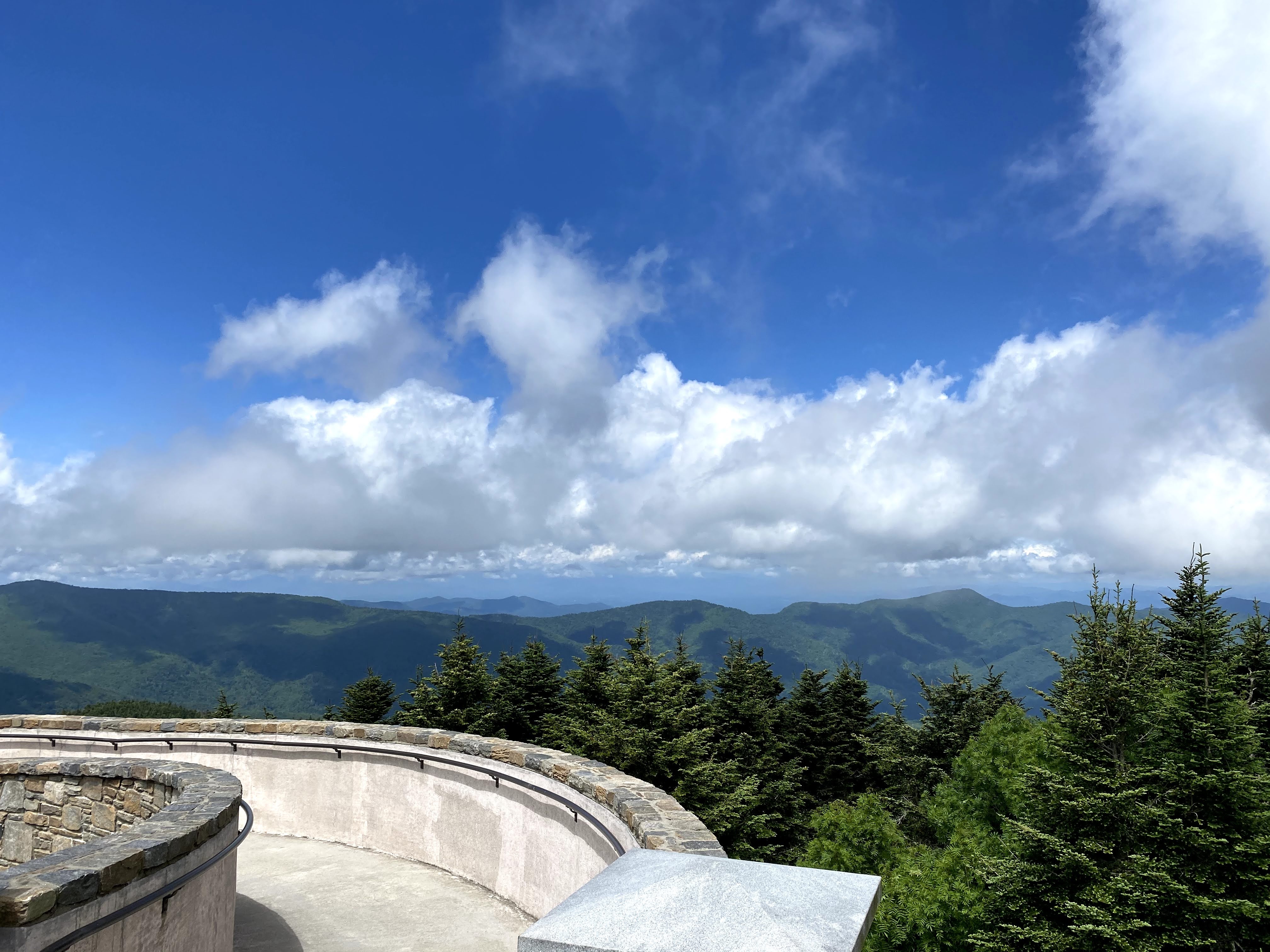
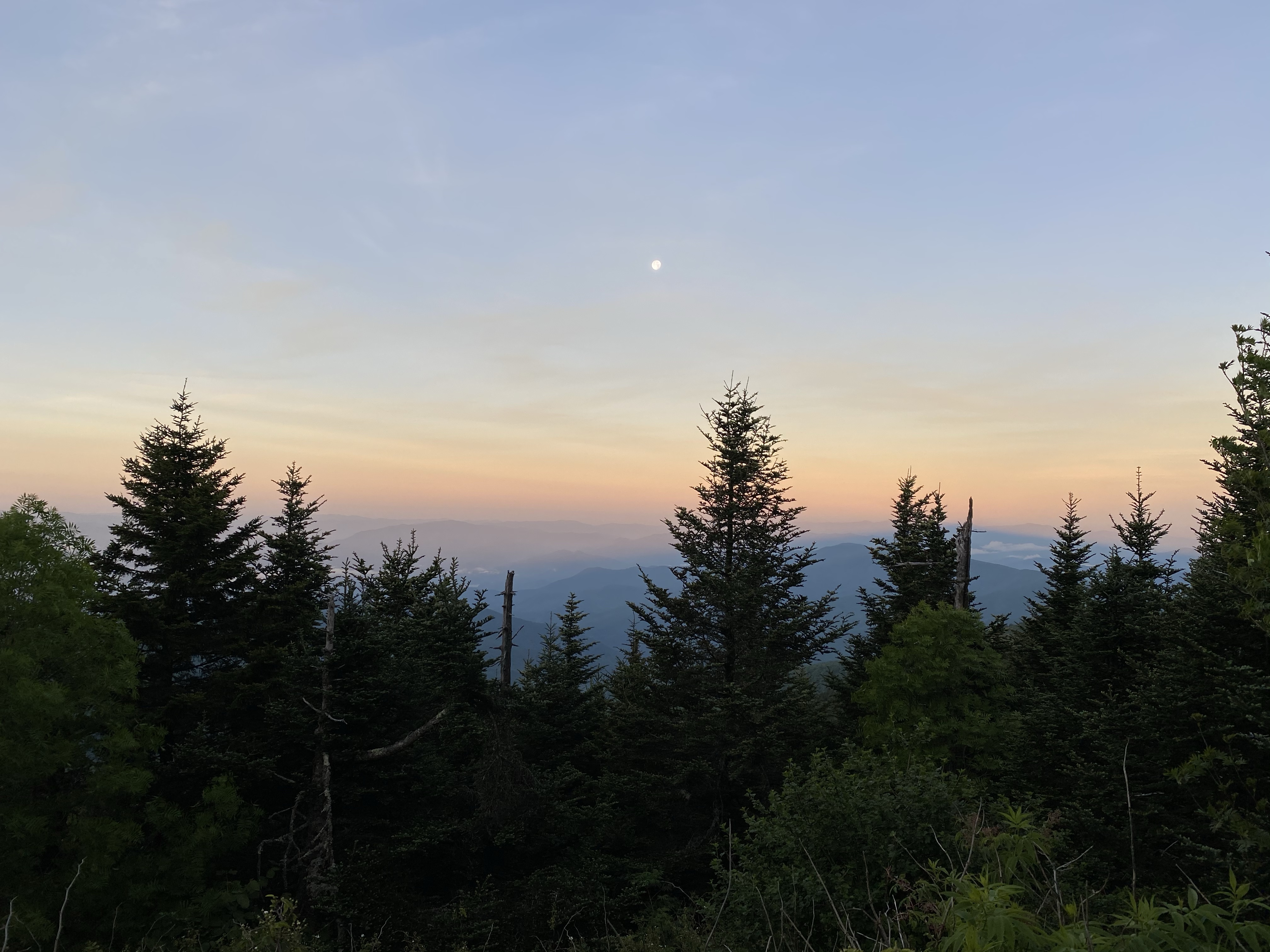
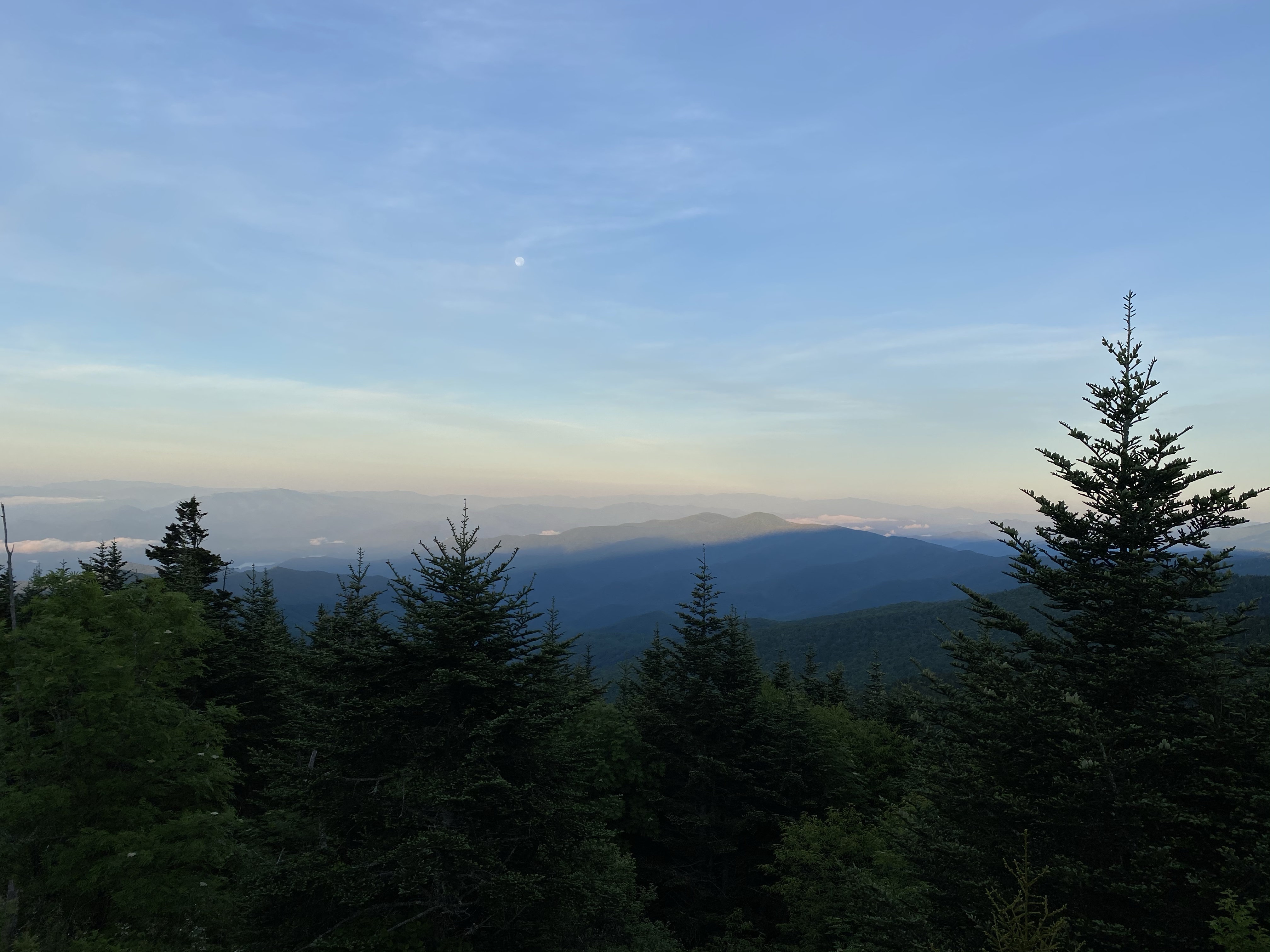
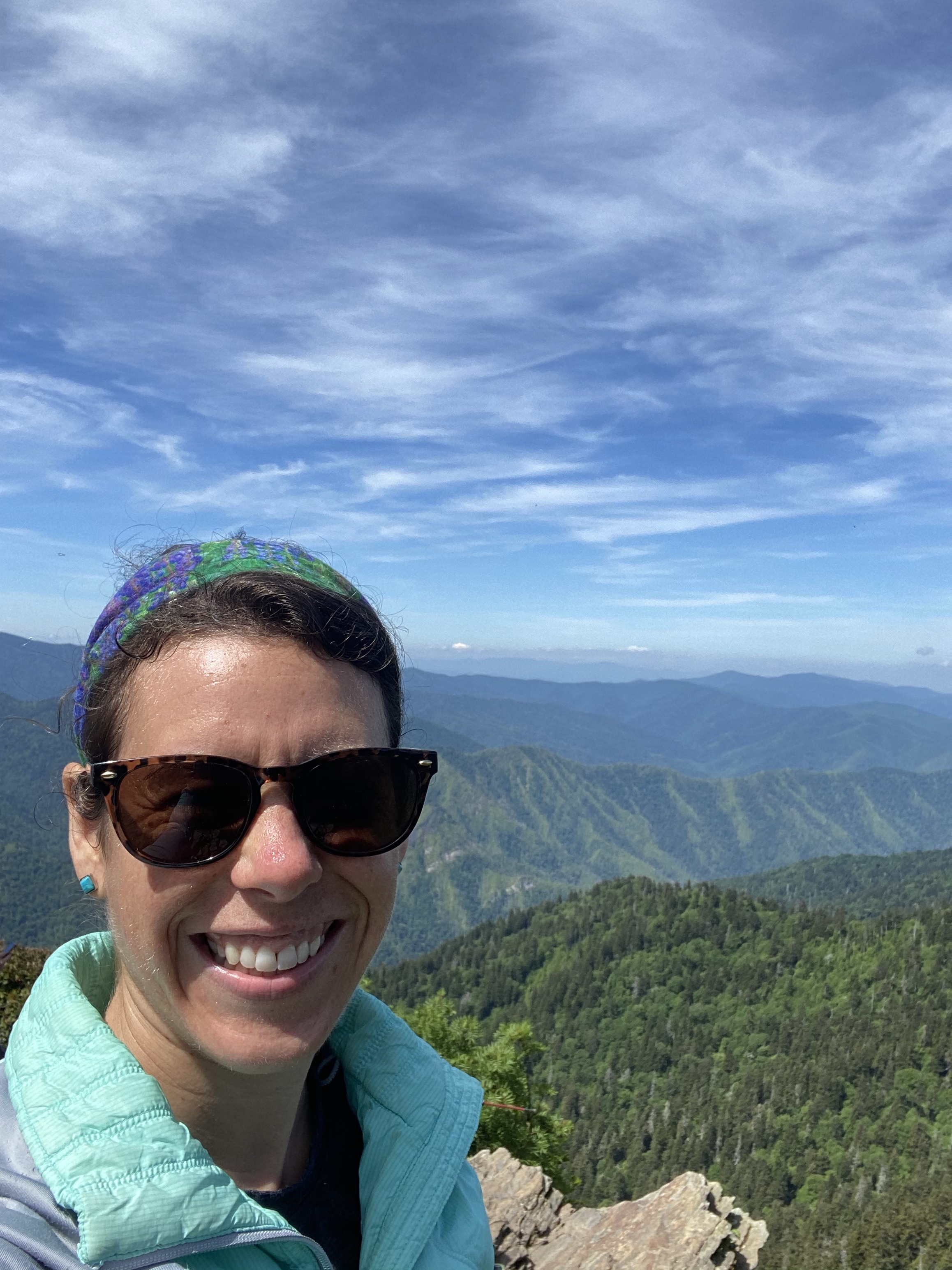
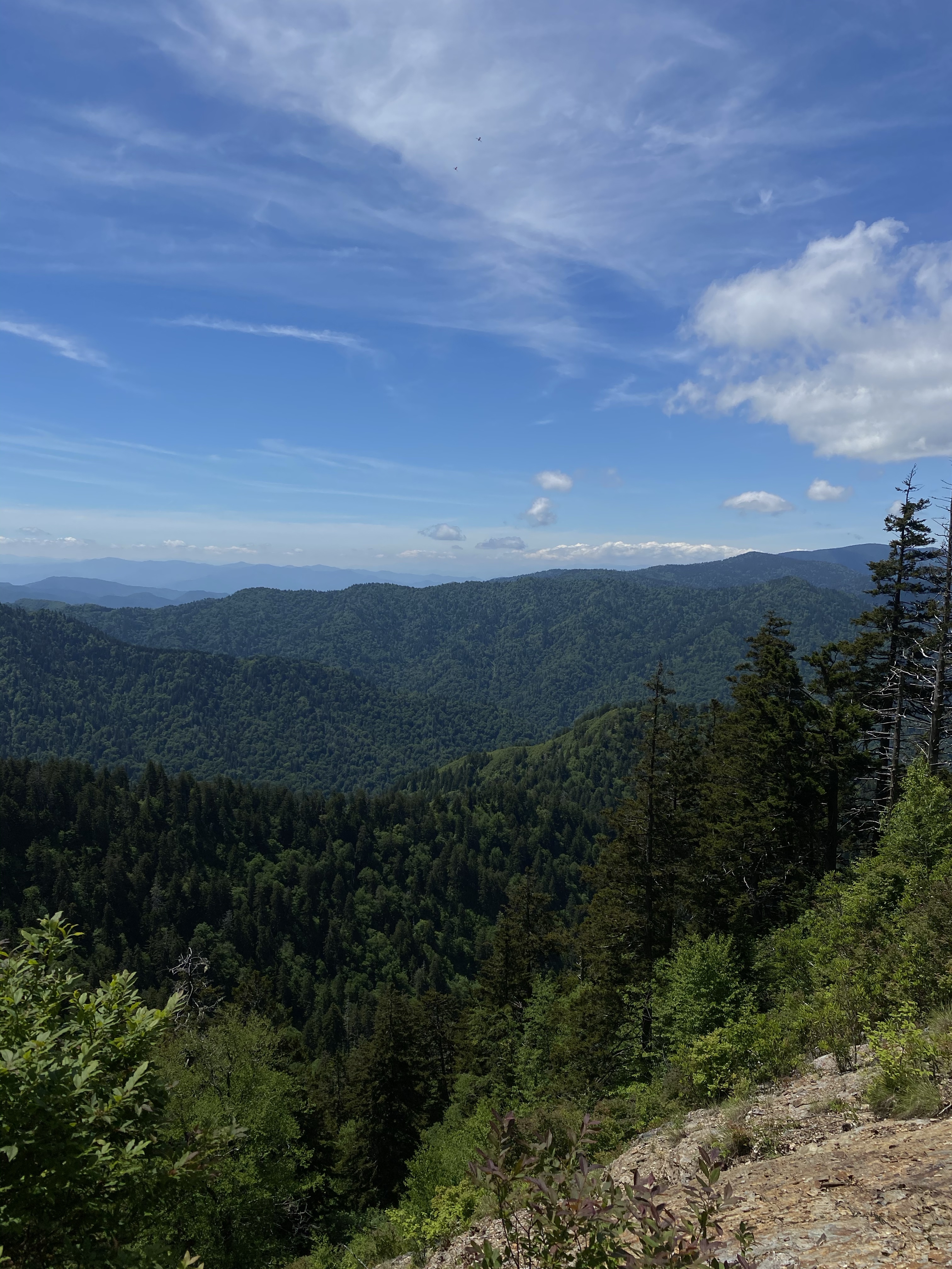
There, on the tower, I dropped my bag and poles, and leaned on the railing to obsess over the mountain views. Drenched in sweat, hot and tired, it didn’t matter. The layers of blue ridges stretching out for miles in front of me were worth all the effort, physical and mental.
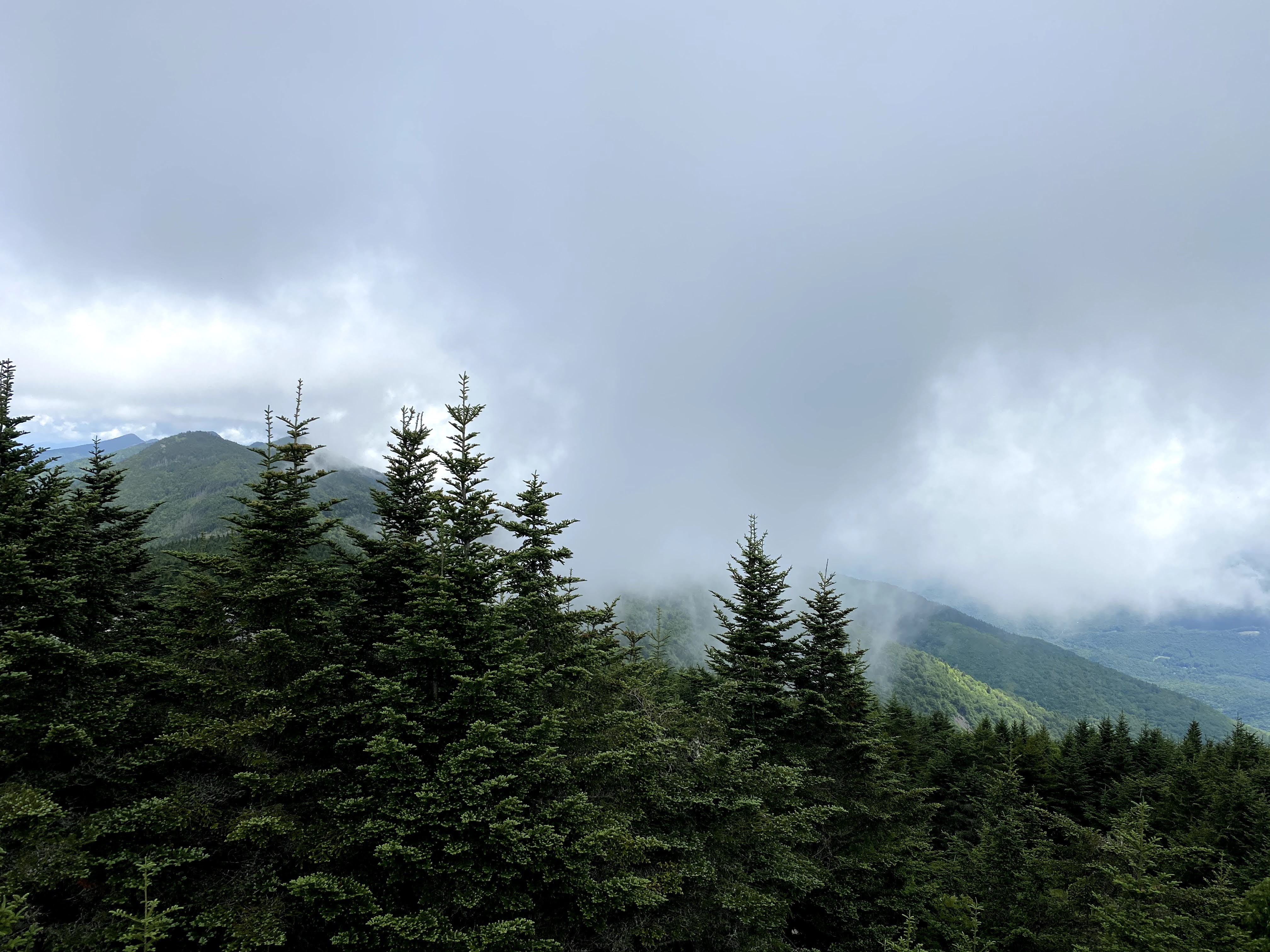
Clouds rolled across the mountain top, temporarily blocking the view east, but the sky cleared to the west and let the sun shine down. I rested my weary legs and sat on a bench to eat and people watch. I stayed as long as I could, until the gray clouds made me a little nervous. But before I left you better believe I took my picture next to the sign. Mount Mitchell, highest point east of the Mississippi River, 6,684 feet high. I did it. By myself. Next time I have self-doubt, which I definitely will, I will try to recall this moment. As Glennon Doyle says, “We can do hard things.” For me, today, a hard thing was overcoming my self-doubt and summiting this peak.
For those wondering, I did make it down without any weather issues. Drove back to the campground and enjoyed a hot shower and dinner before bed. Only a few more days of driving.
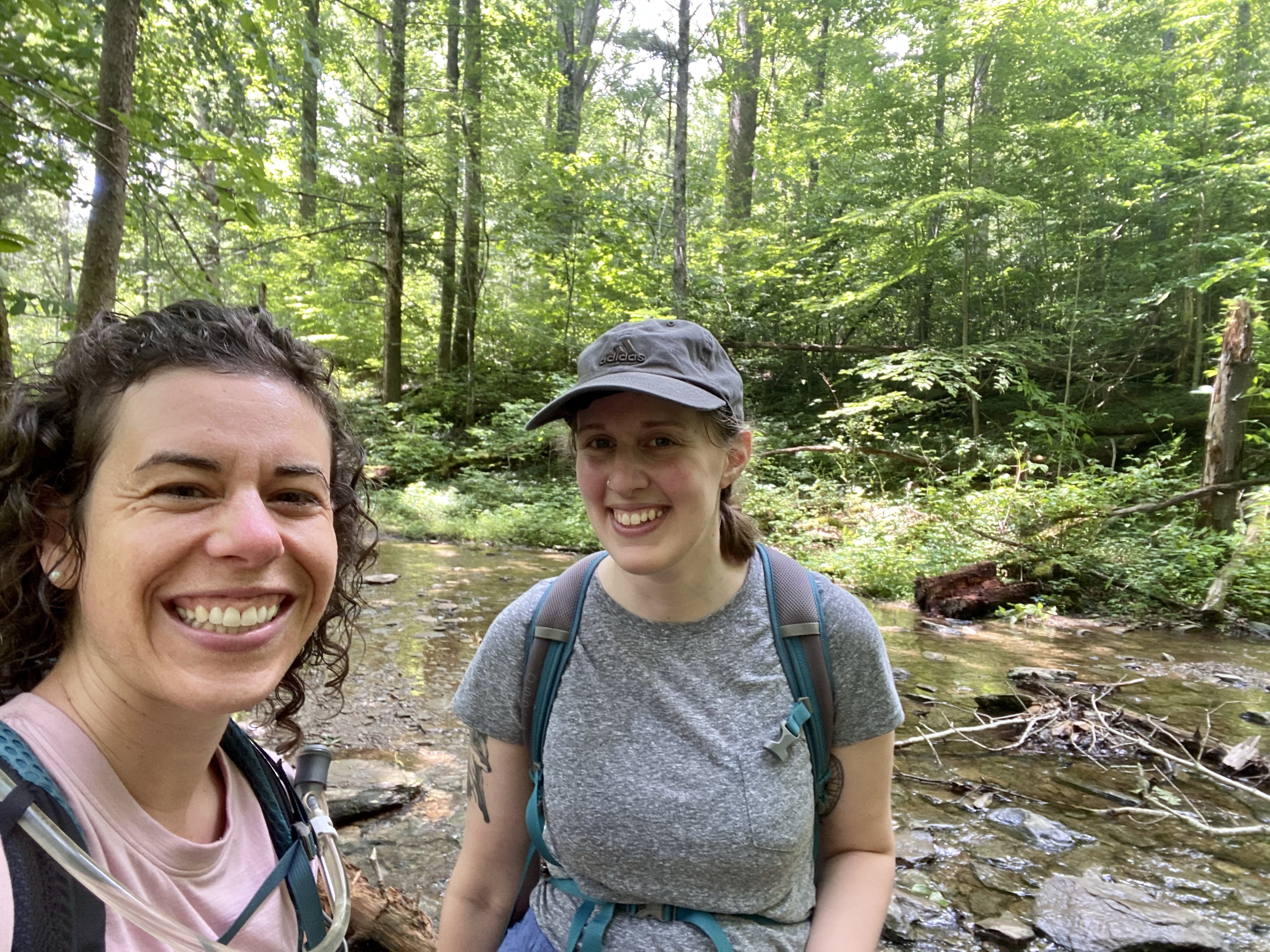
National park number sixteen did not disappoint. The Great Smoky Mountains put on a spectacular show for me and my friend Kristi, who I picked up from the airport. Super grateful to have a friend from home join me for this leg of the trip!
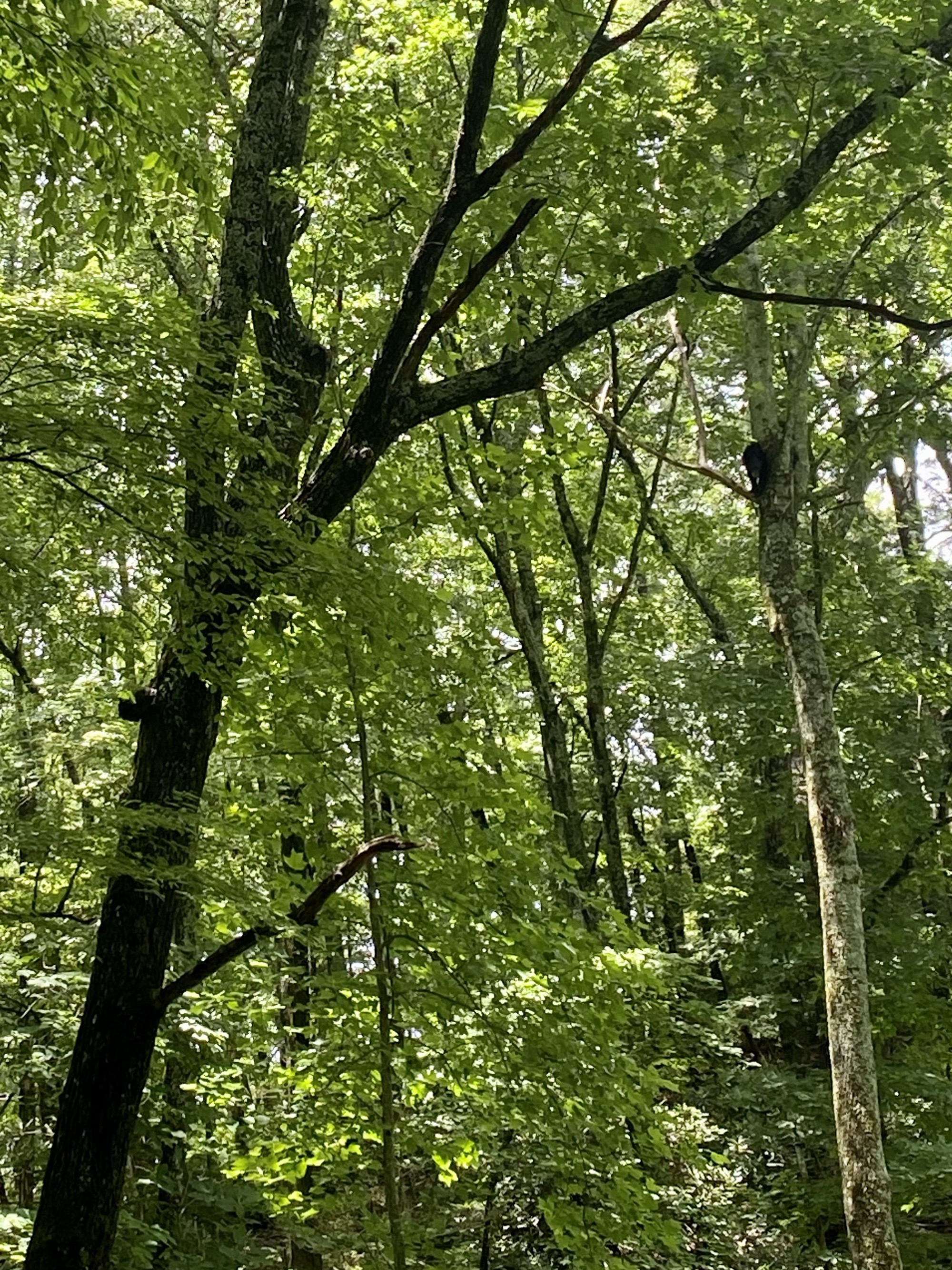
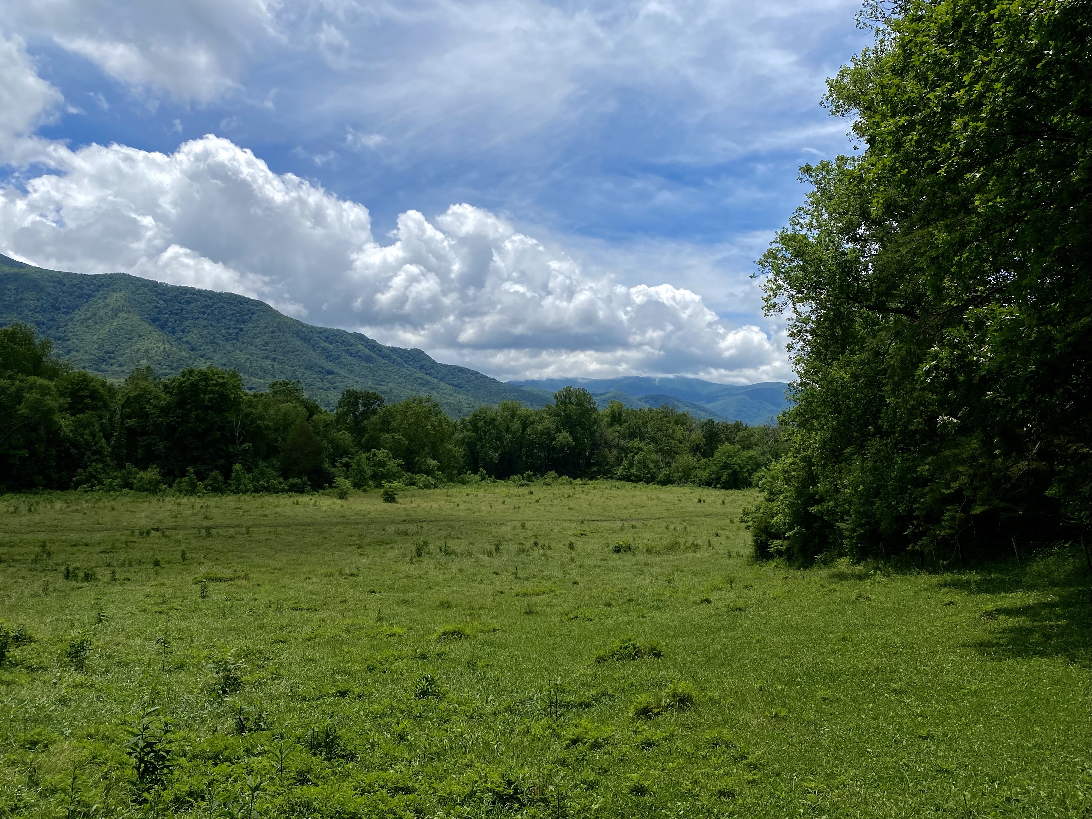
The first day we drove to Cades Cove and were in awe of the green jungle we entered. After weeks in the desert, and weeks in the arid western mountains, the lush forest thriving around us was a welcome site. The road in winds along the base of the mountains with trees towering above you. The coverage is so thick, the sun barely reaches the ground. Just dots of light here and there, rays occasionally breaking through the canopy to remind you that it is still daylight. Spectacular.
A few miles in, we hit traffic. Strange. We slowly crept forward on the park road, groups of cars sporadically passed by in the opposite direction. Eventually we came to a cluster of cars parked on both sides, people milling about. Then we spotted what they had spotted. A black bear high up in the tree! So cool! We paused long enough to to capture some low quality photos and then continued on, not wanting to hold up traffic or pester the wild creature too much.
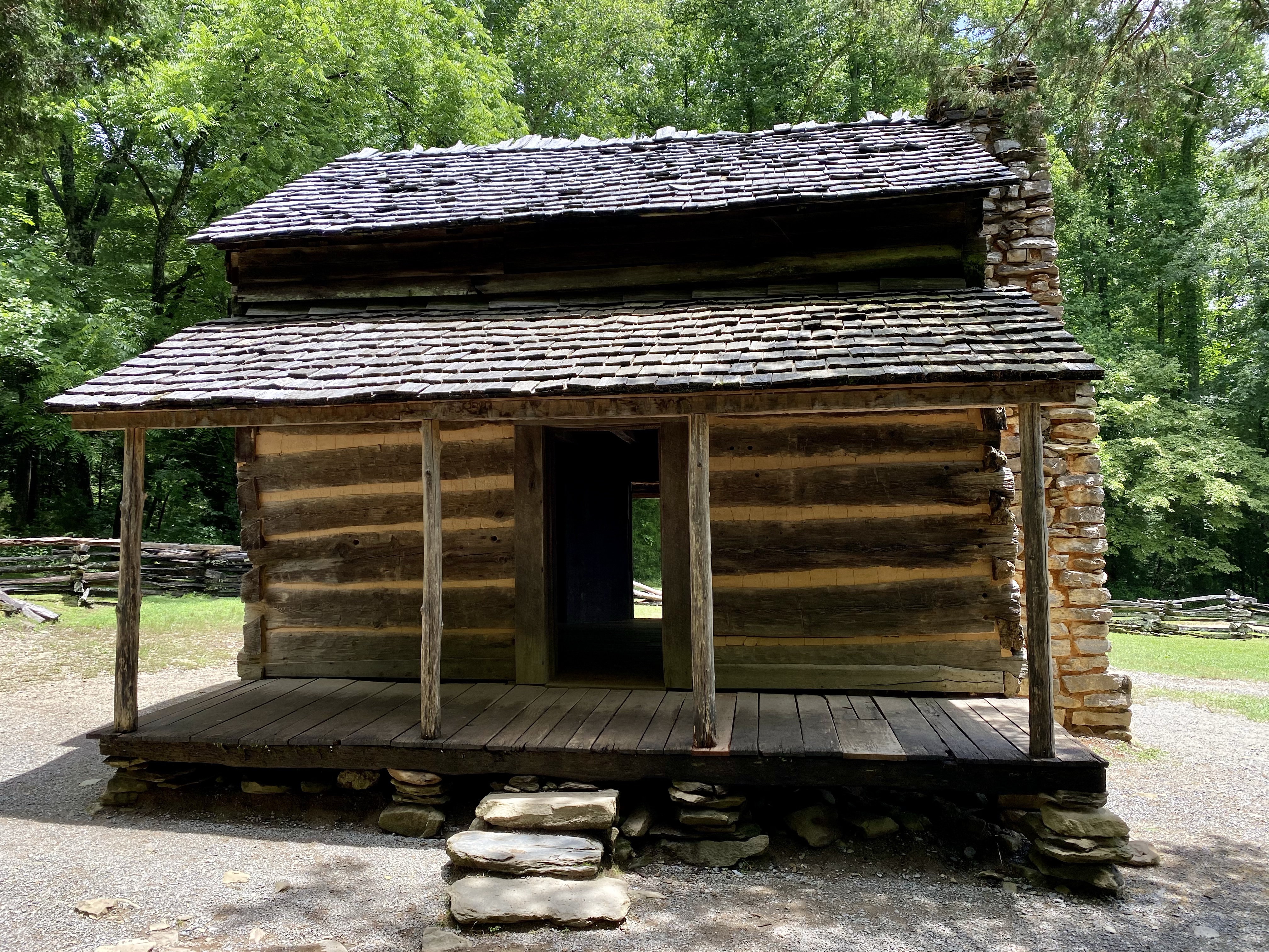
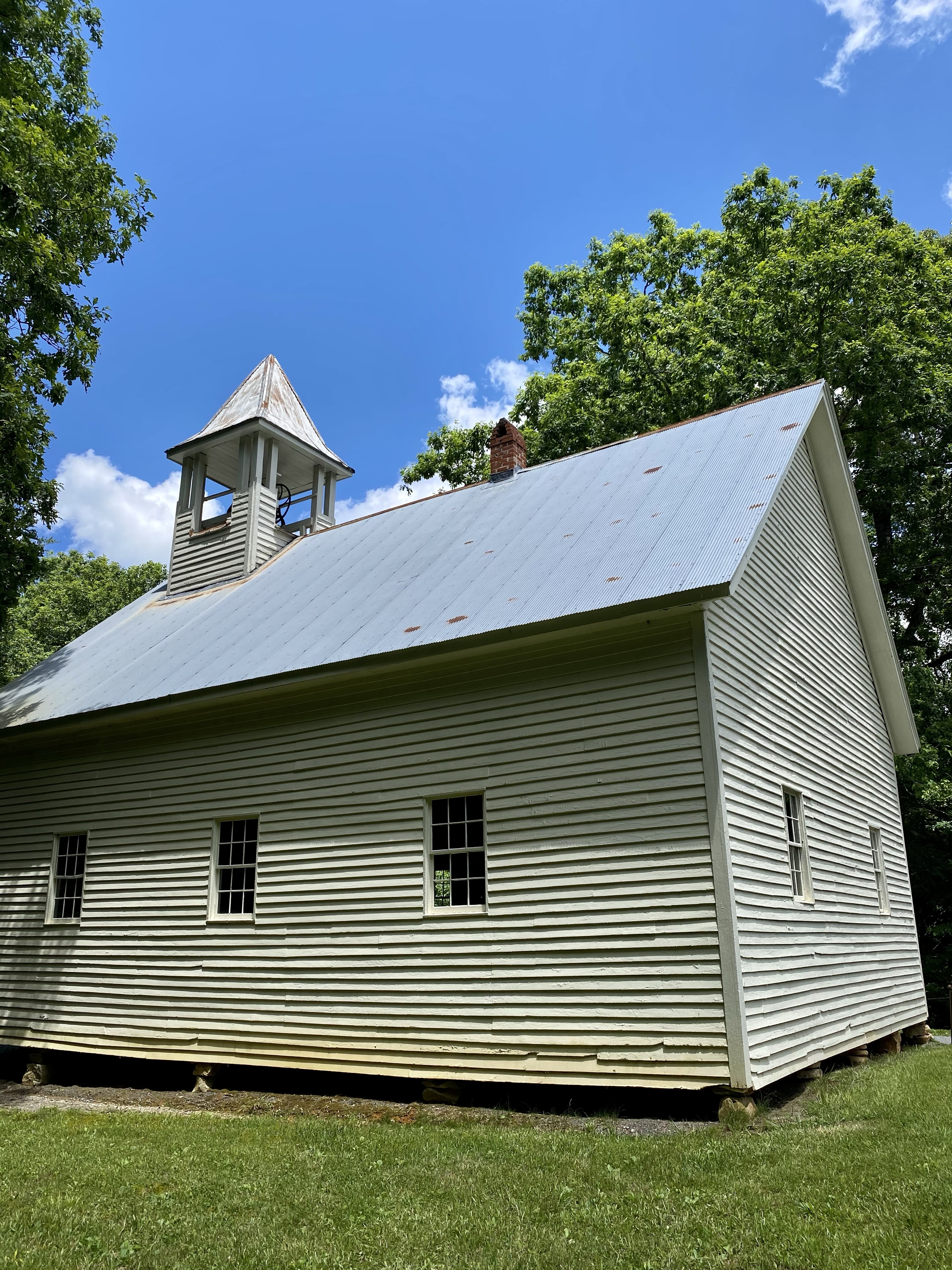
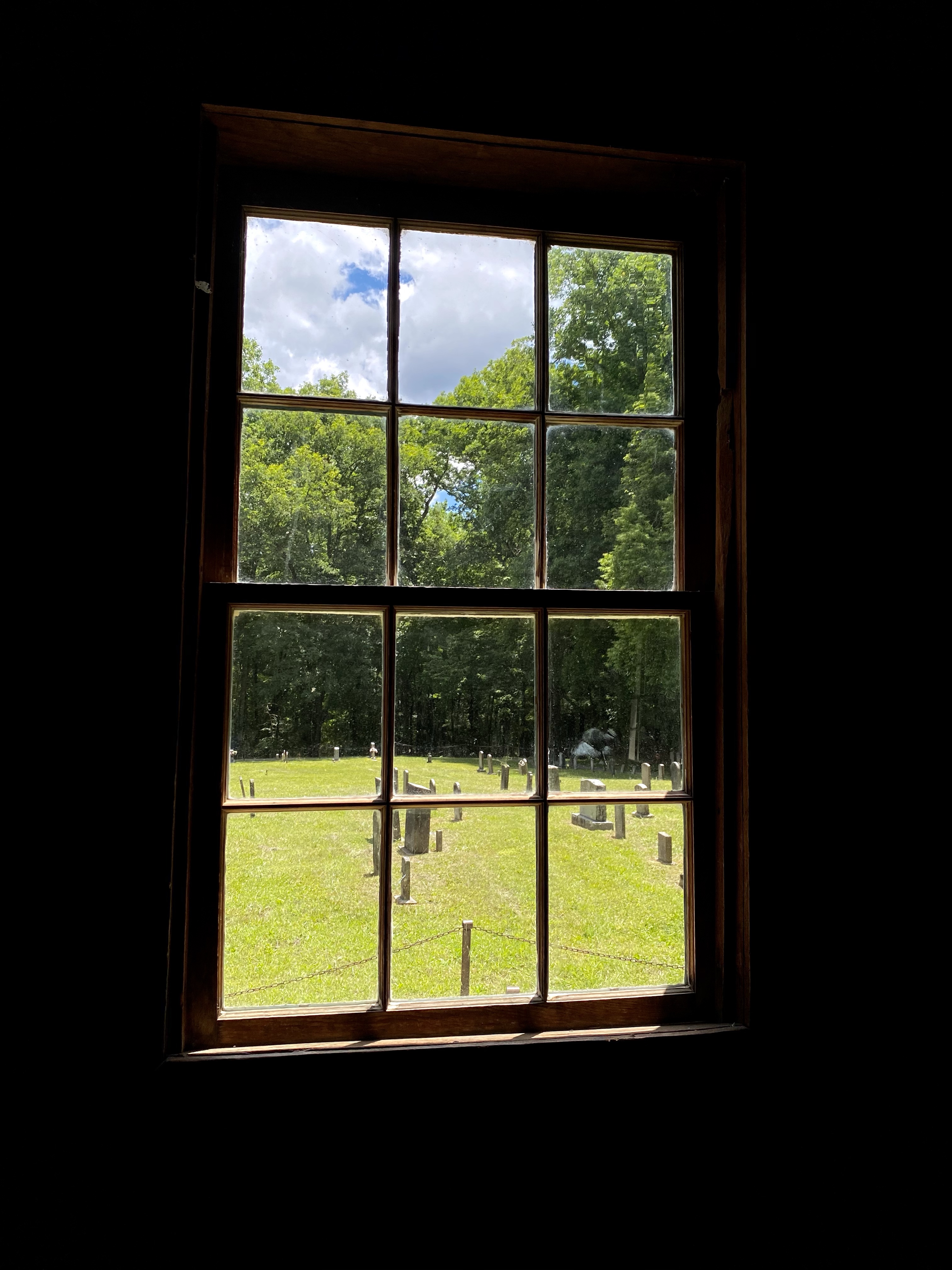
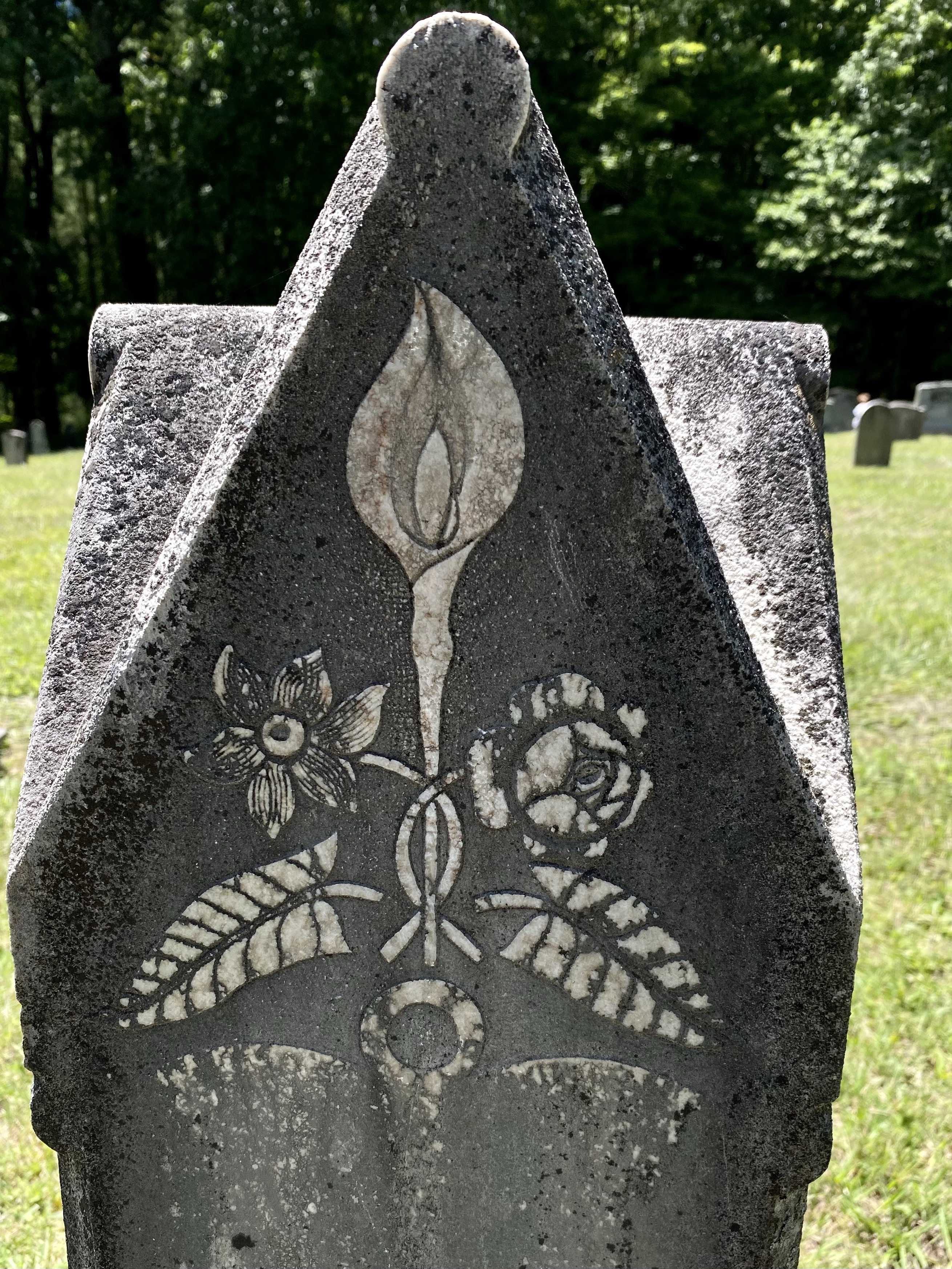
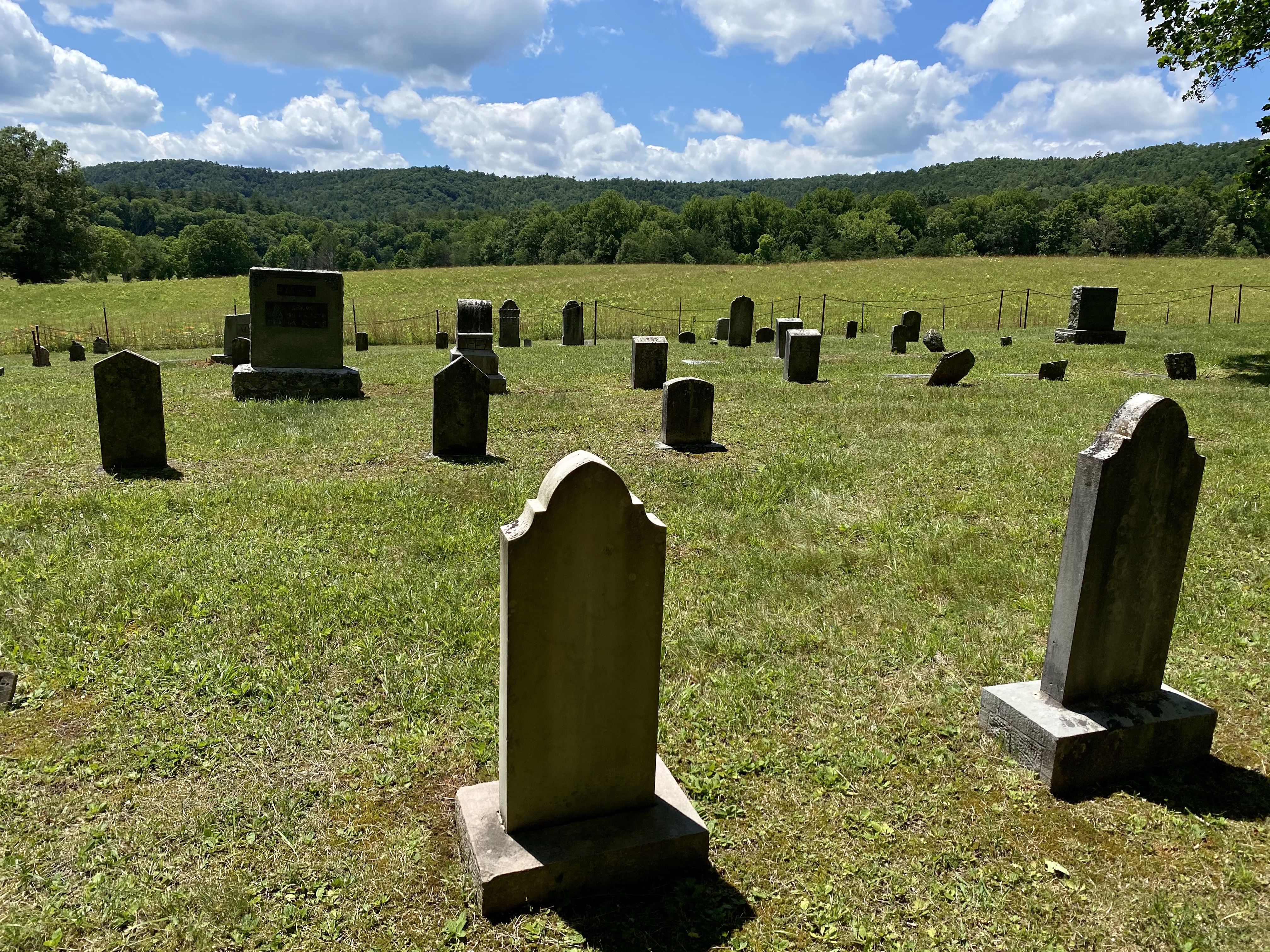
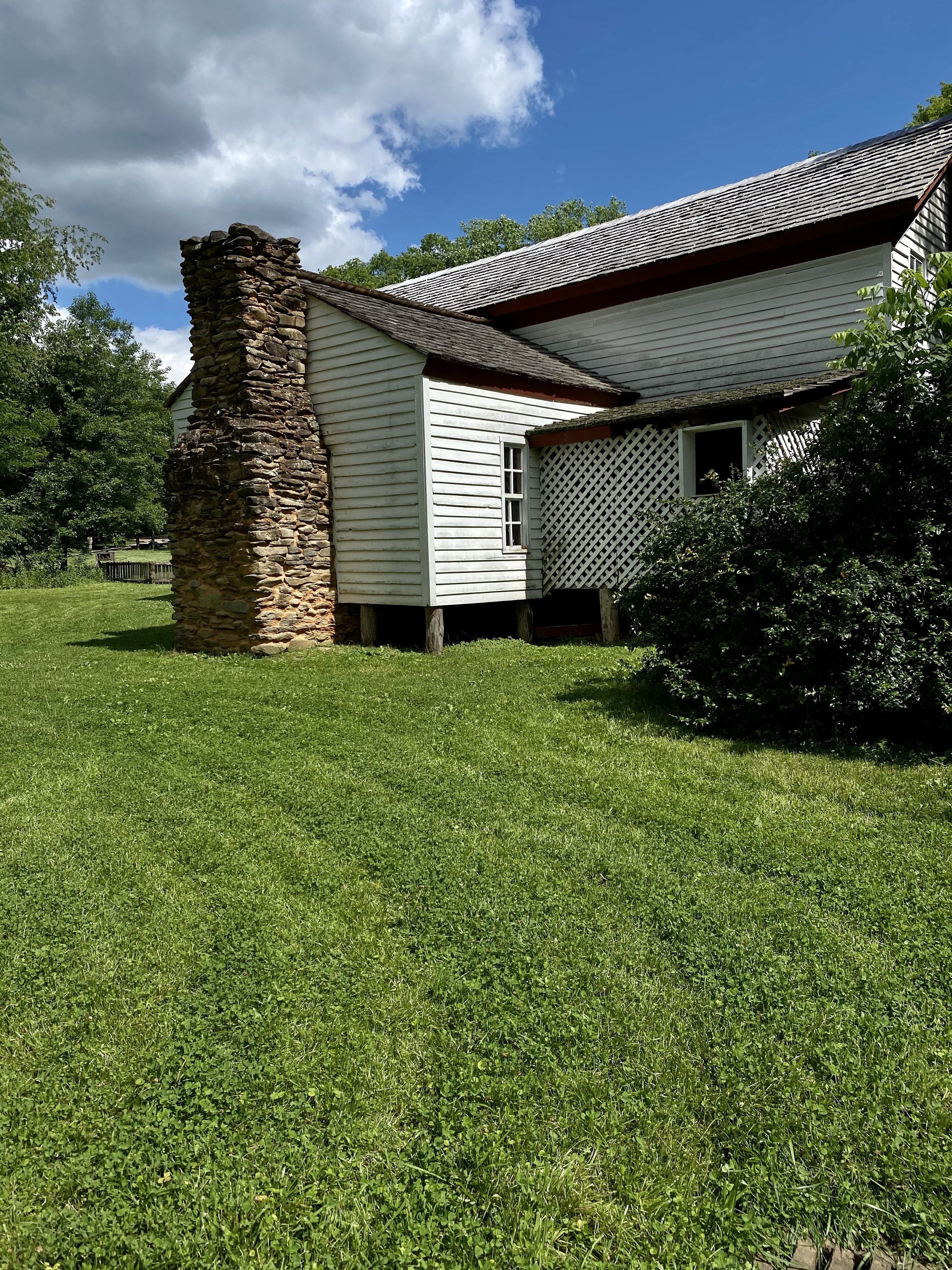
Down in Cades Cove we drove around the loop, stopping at various historic sites along the way. The Park preserves nearly 600 white settlement sites scattered across the land. Cades Cove holds 18 of the most well kept buildings. We stopped at the John Oliver house and marveled at how so many people could live in a one room dwelling, only the attic serving as a separate space. We wandered through Baptist and Methodist churches and cemeteries, noting the common surnames of past white inhabitants. We learned about farming and the village offerings, and then headed back to our campsite.
Along the way back, we spotted five more black bears! At one point, a mama bear was crawling backwards down a tree, her three cubs behind her. An adorable site from afar, not one to get to close to or comfortable with. Keep the wild wild. But our trip was off to a great start!
We camped at Cades Cove Campground that evening and started out early on our loop hike the next morning. We were able to walk to the trailhead right from the campground, a special treat! Up we went!
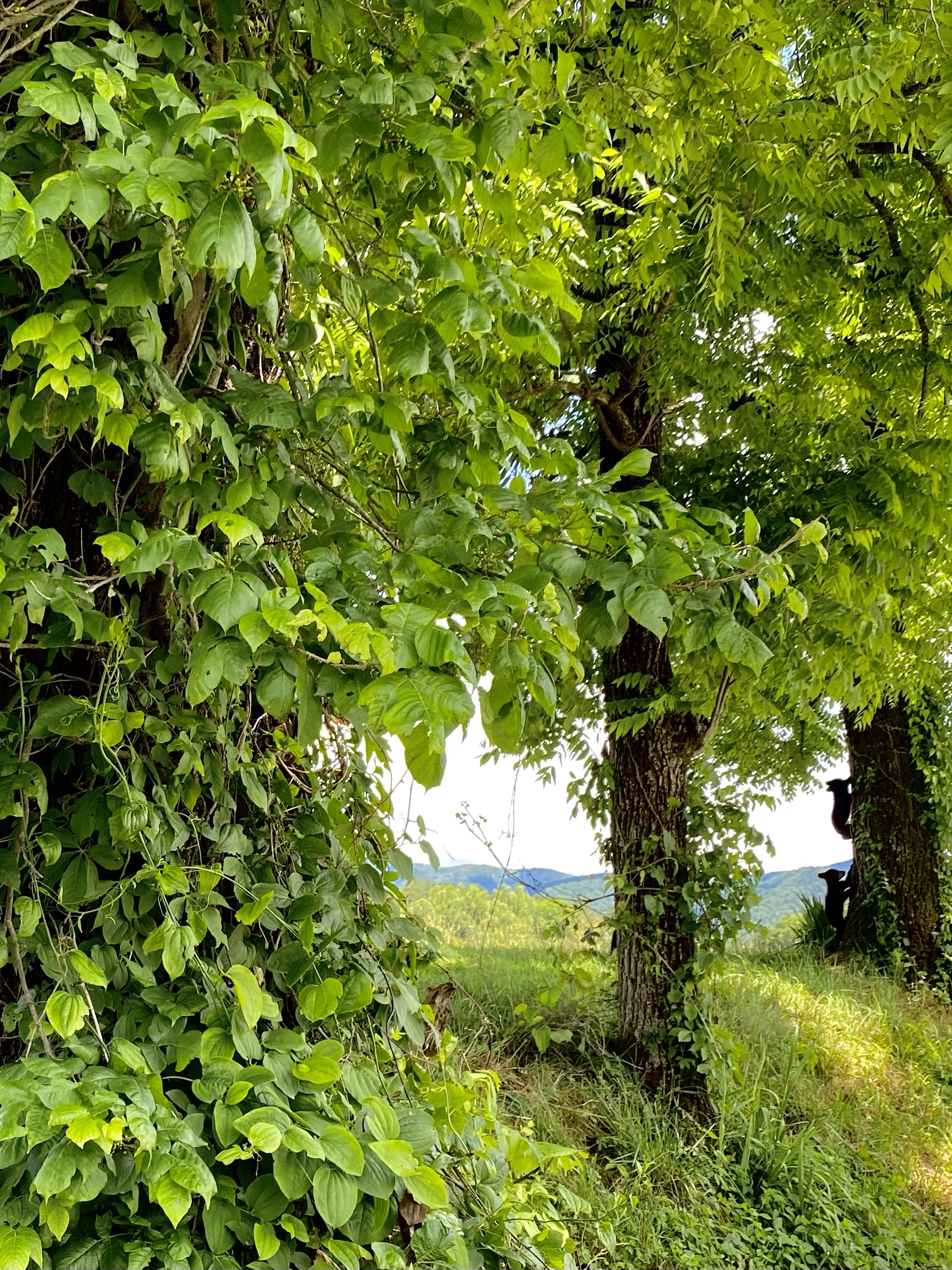
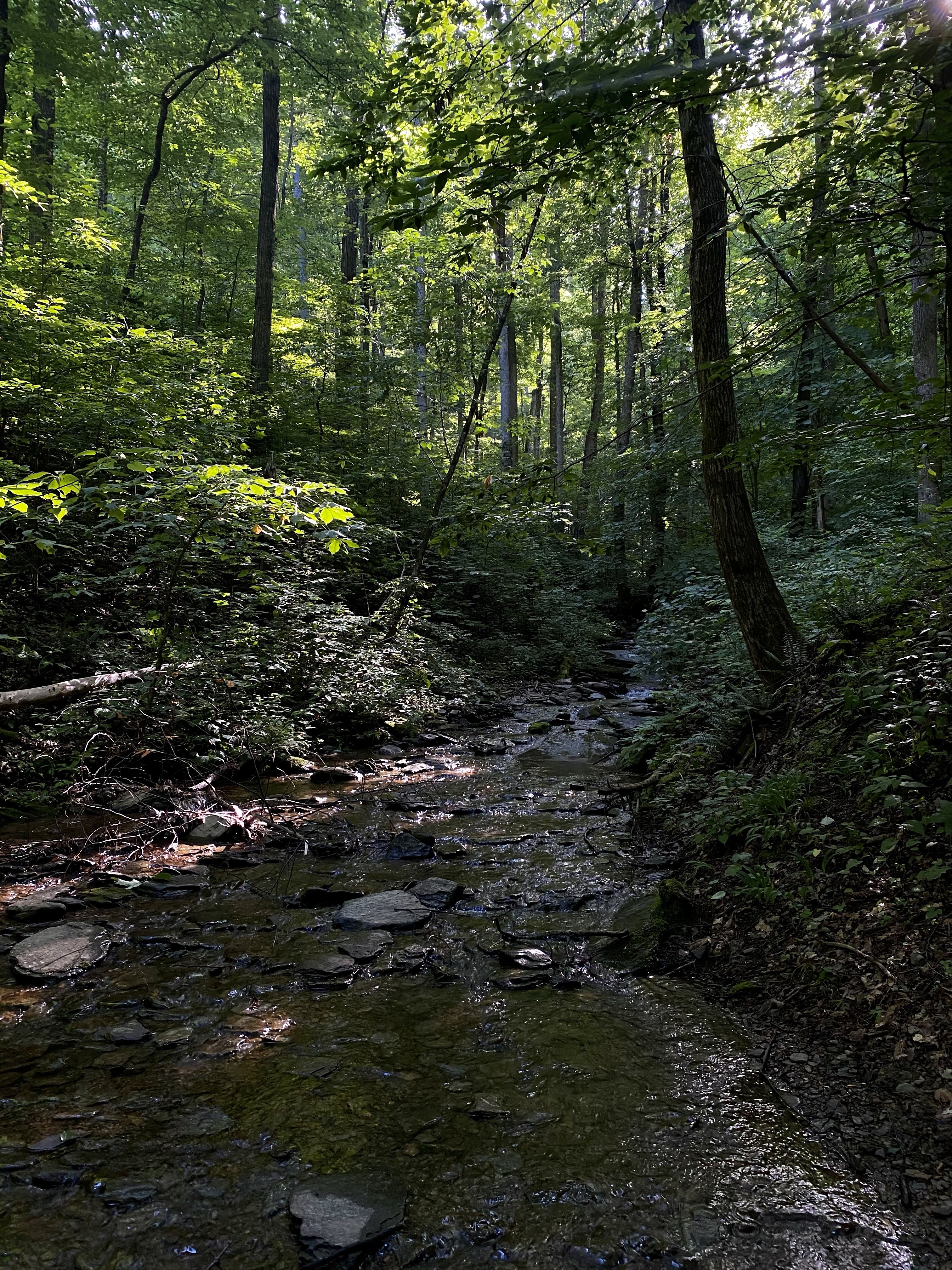
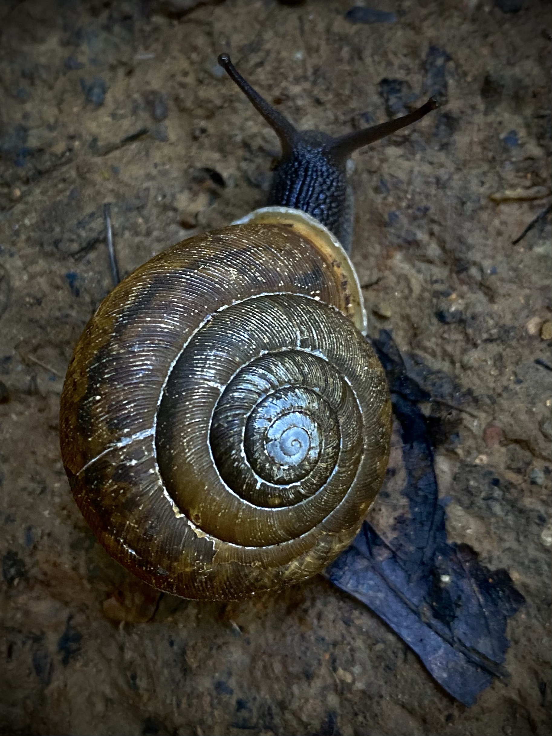
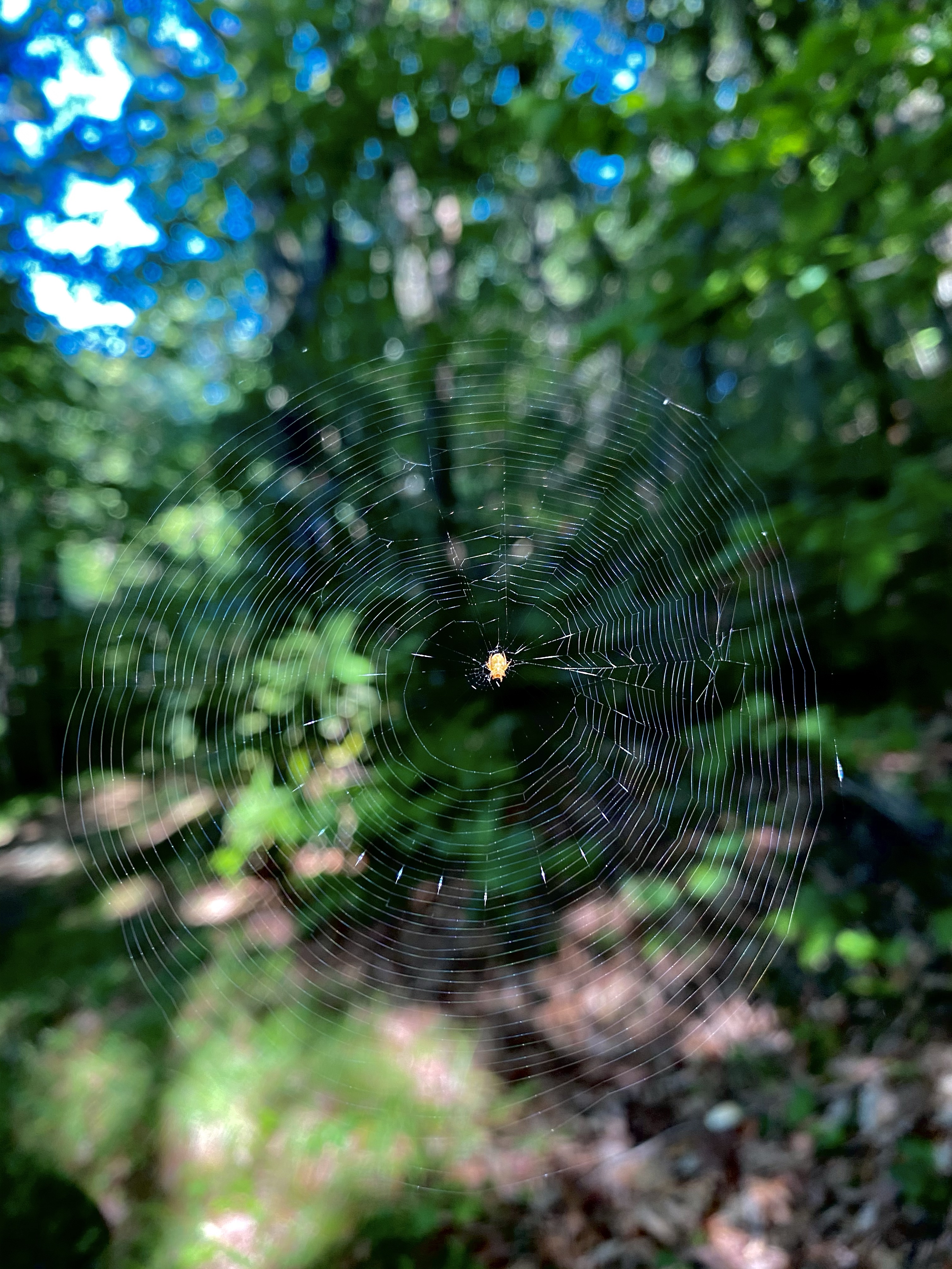
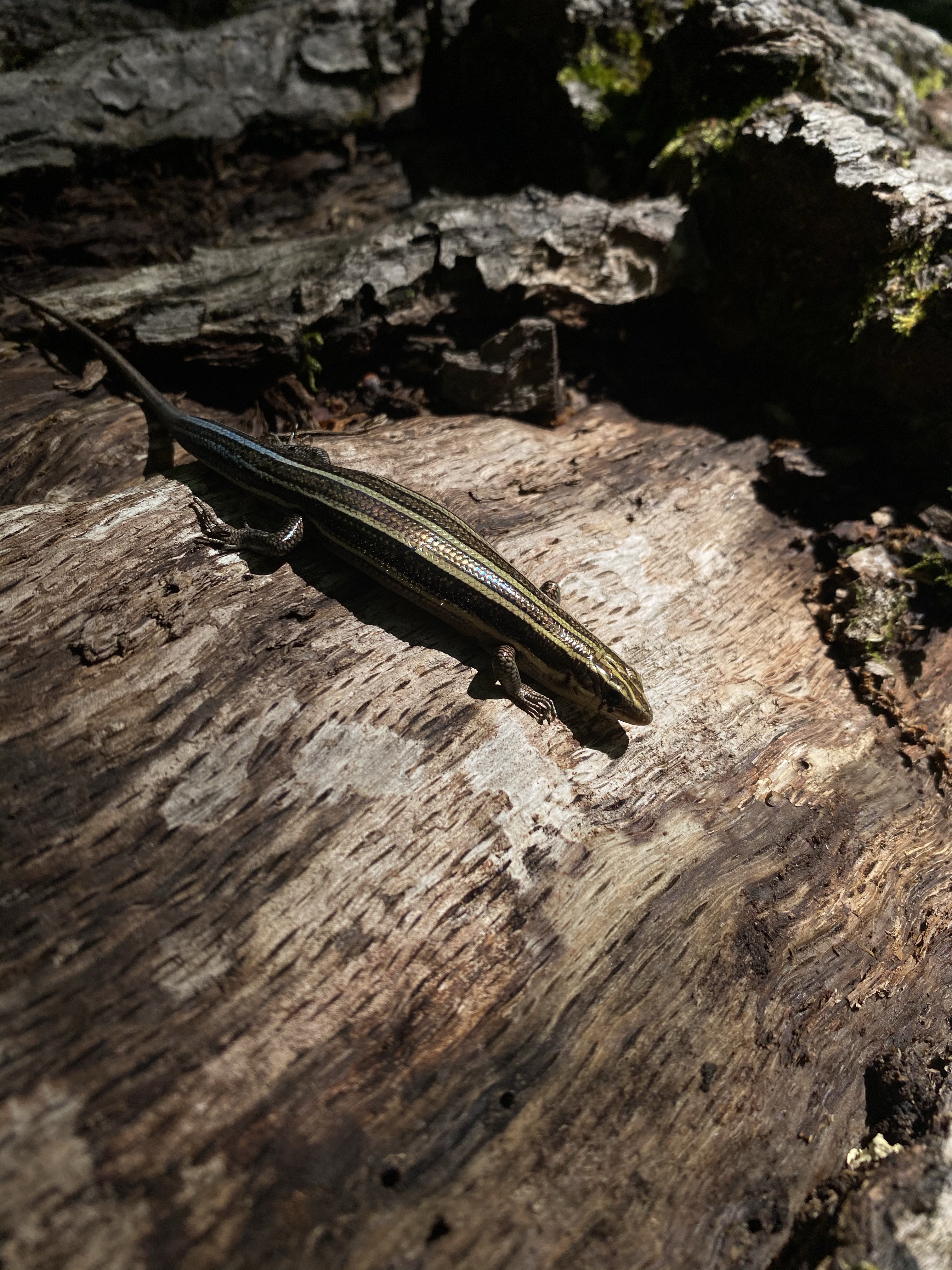
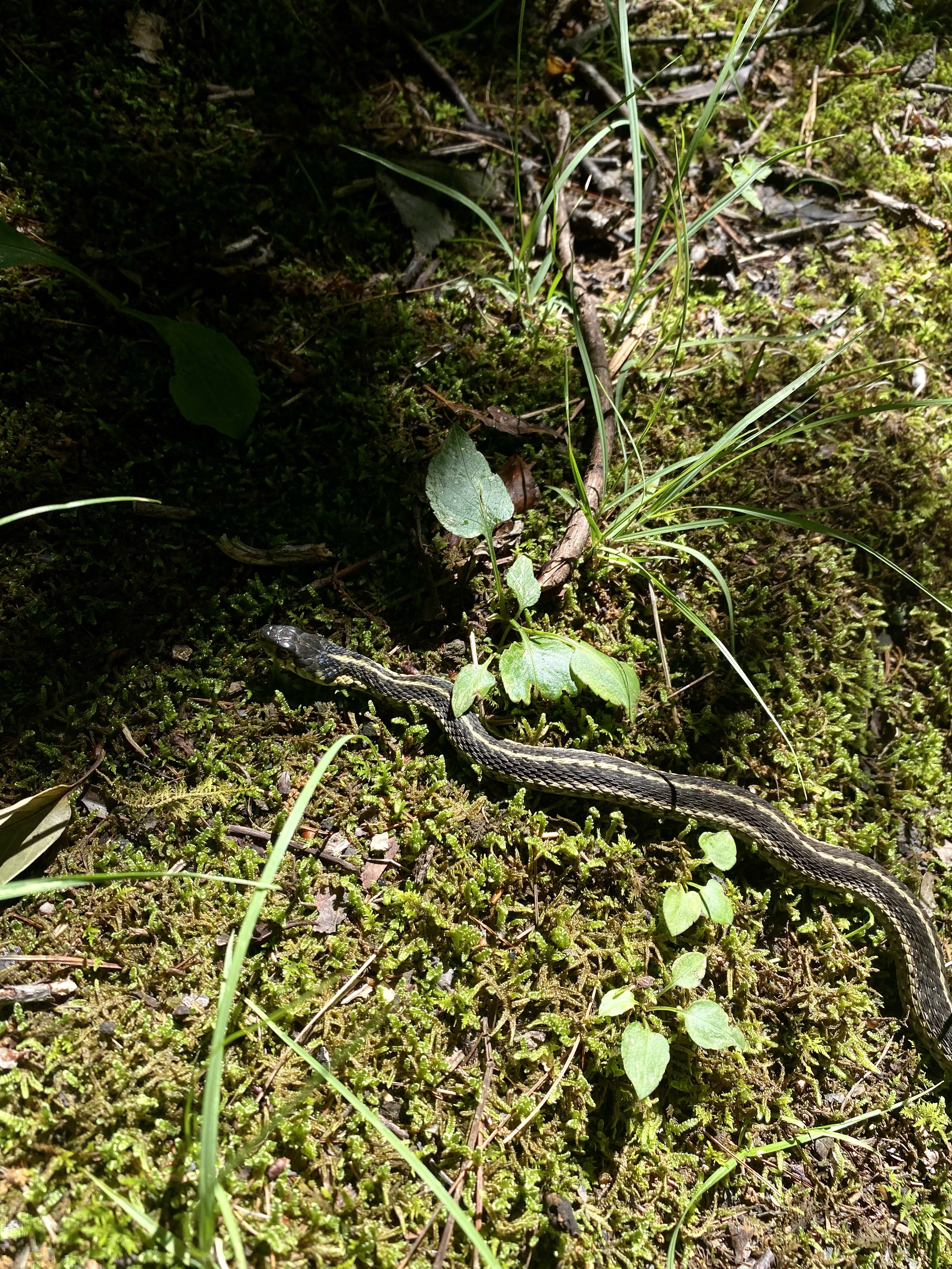
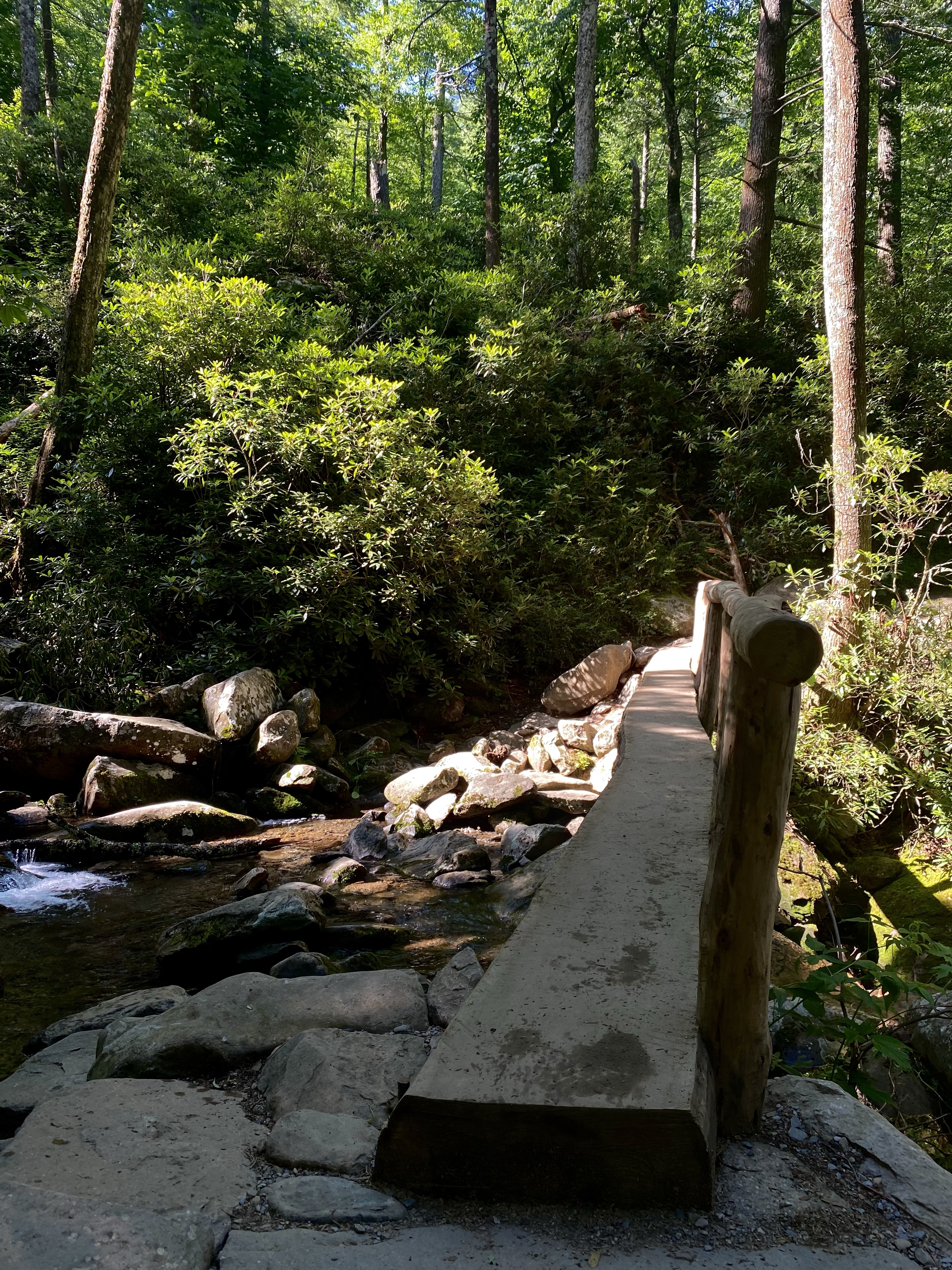
The trail was beautiful, trekking through dense forest. Several stream crossings along our way. Many little lizards, some rainbow steamed others round and orange, along the way. A snail or two as well. Lots of little surprises! Unfortunately, there were almost no mountain views though! We had picked this hike specifically for that, at the park volunteer’s recommendation. Either we missed them (unlikely but possible) or the leave coverage was so thick they were hidden! We even hiked an extra two miles in hopes of seeing the vista, but no luck. The hike of lost views. We did summit four peaks and complete over 13 miles and have good conversation and company, so all was not lost. Just the views. We rewarded ourselves with ice cream at the camp store for all our hard effort! Yum.
The following day we opted for a shorter hike, although I don’t think it was any easier! We drove over to the Motor Fork Nature Trail Road for the Rainbow Falls hike. On the way to the trailhead we had our first excitement of the day, a black bear in the bush! Munching on some leaves on the side of the road, the bear was blocking our route to the trailhead. We contemplated what to do, but ultimately decided to pass quickly feeling like the stopped cars were providing enough of a barrier. So that’s what we did and we were lucky in our success.
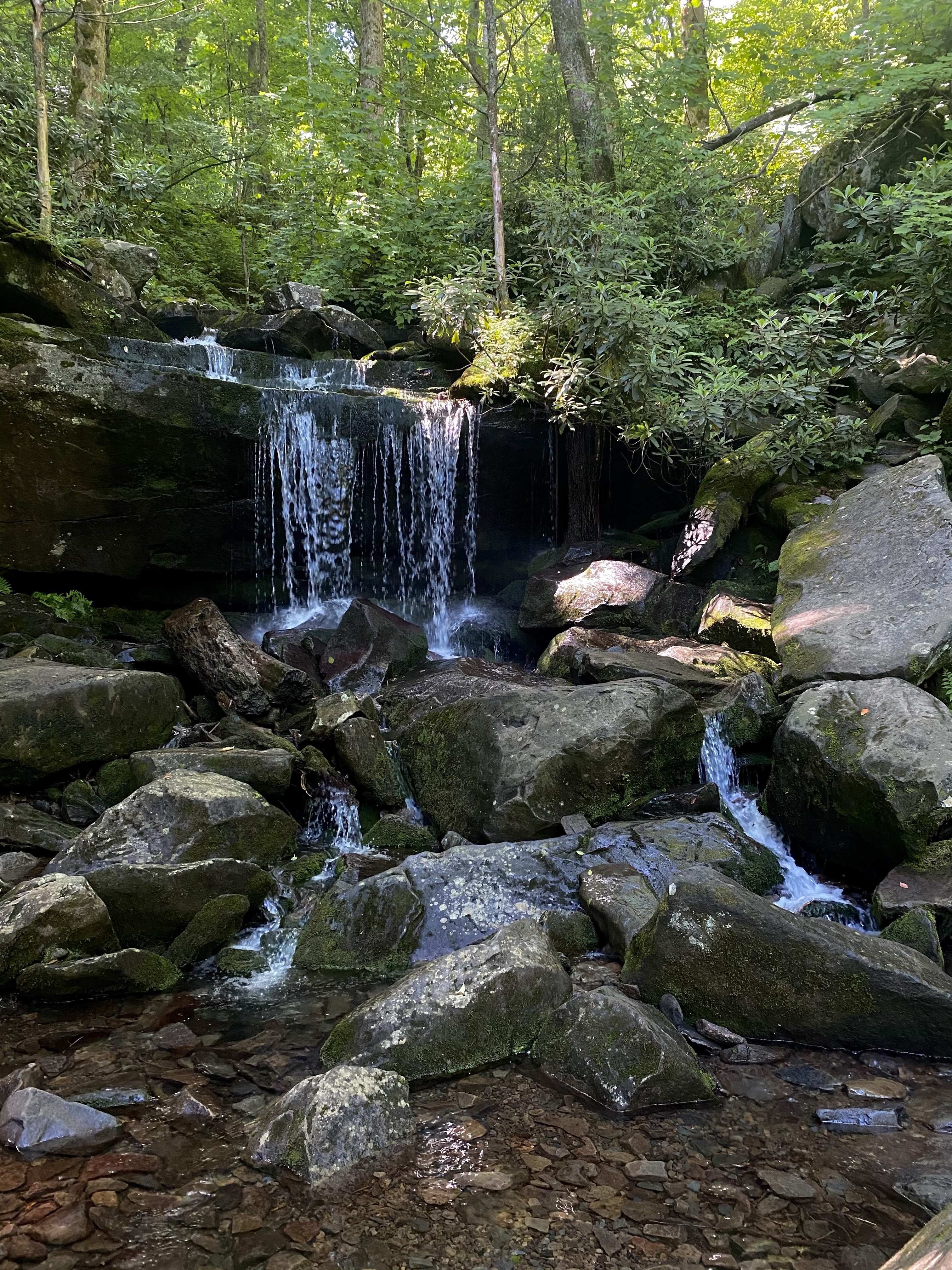
The trail then wove along the creek until it began to switchback into the mountain, through the forest. Several small waterfalls greeted us along the way, a nice break in the scenery. I did keep hoping that “this wasn’t it” each time we passed a tiny flow. I didn’t want to repeat our disappointment from the lost views hike.
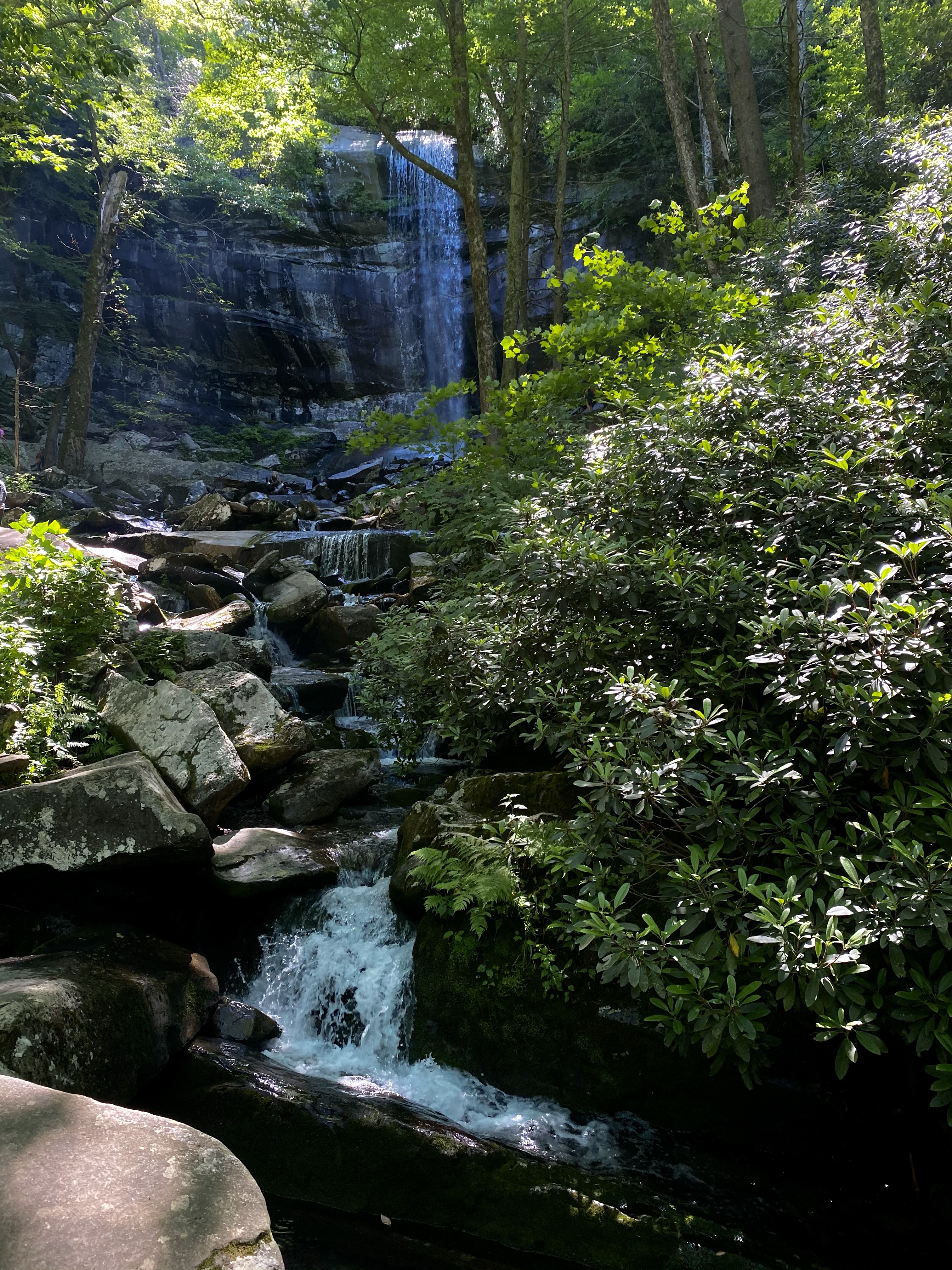
Disappointed we were not! Rainbow falls is beautiful, the tallest single flow cascade in the park. After the crowds left, we were able to enjoy the magnificent display of power in relative peace. A nice reward for a tough hike!
Back at the car later, bear gone, we enjoyed lunch and decided we had had enough hiking for the day. Instead we’d complete the scenic road and head into town for the afternoon. Sounded easy enough, like a good idea. Well, I ended up earning two new driving badges.
First, the Motor Fork Nature Trail is a narrow, windy, one way road. That’s fine. What’s not fine is when people are so desperate to complete a hike that they totally disregard all parking signs, safety, and consideration for others. All was fine on the road until we came to the Grotto Falls trail area. Cars had squeezed themselves into every possible nook and cranny, making the narrow road barely passable. Cars behind me, no where to pull over, no option to turn around, I took a deep breath and continued forward. Slowly. At a crawl. I had to lean my head out the window several times to check how much room I had on the side of Sunny, often mere inches. Pulling in the side mirrors helped make us a little skinnier, but not much. For at least a mile, I carefully inched forward, praying every moment that I didn’t bump a car along the way. The stress!
I did make it out that, and what a big sigh I released then! I don’t think I’ve ever done anything so nerve racking in my life! Kristi was a great passenger, silent and still, congratulating me when we made it out. Phew! My advice, if you want to do this hike, do it at sunrise or in the dark. Haha
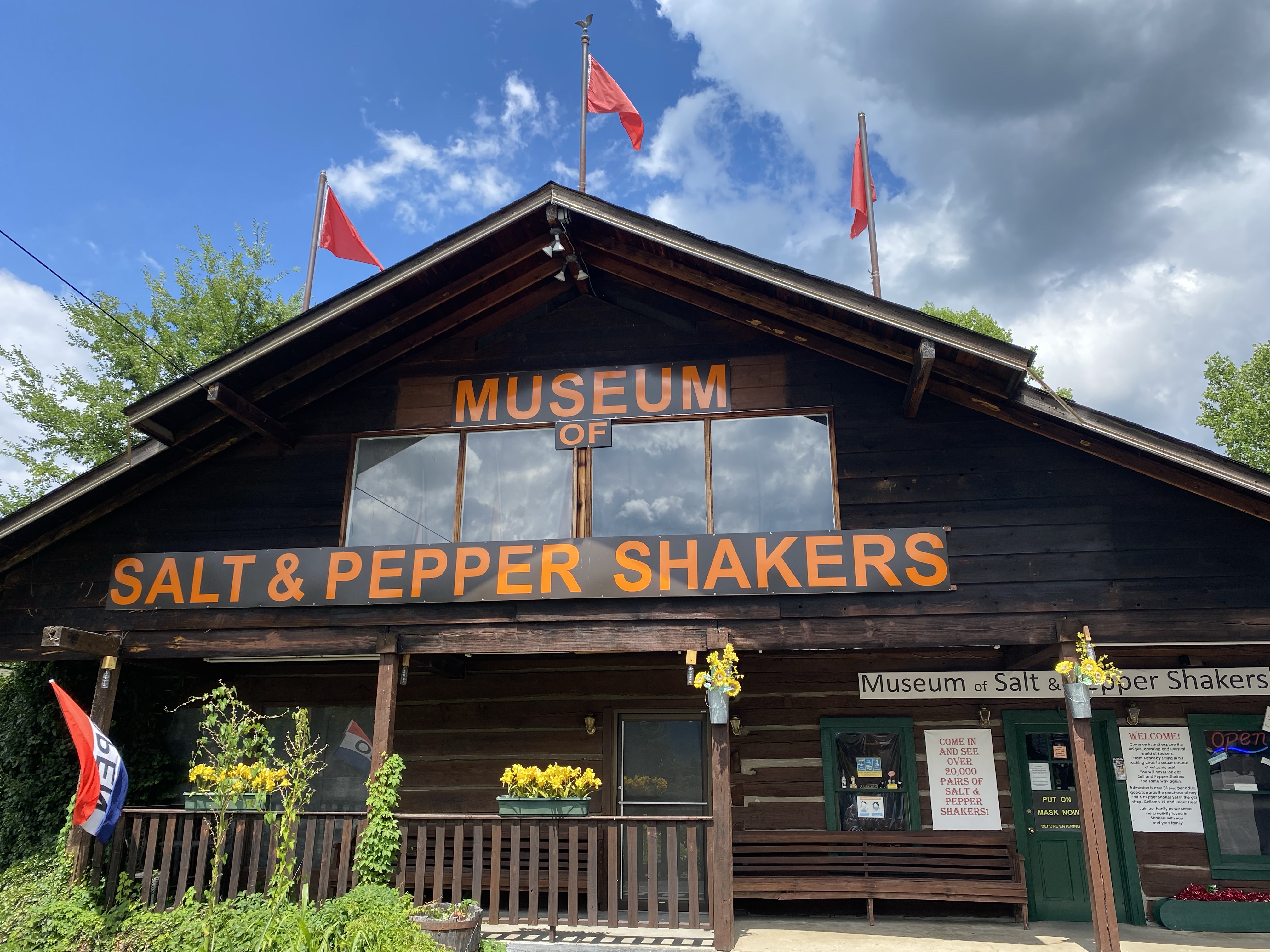
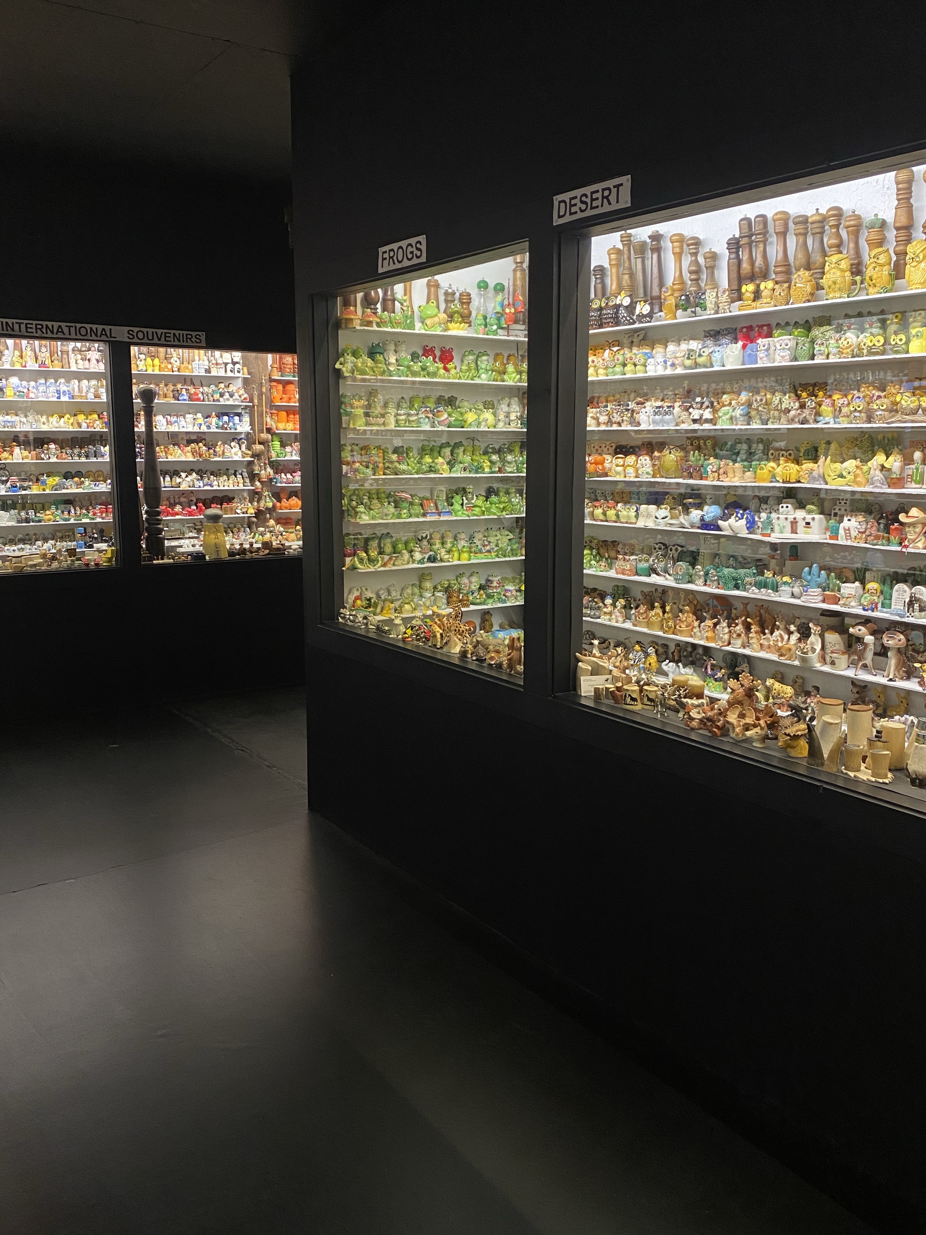
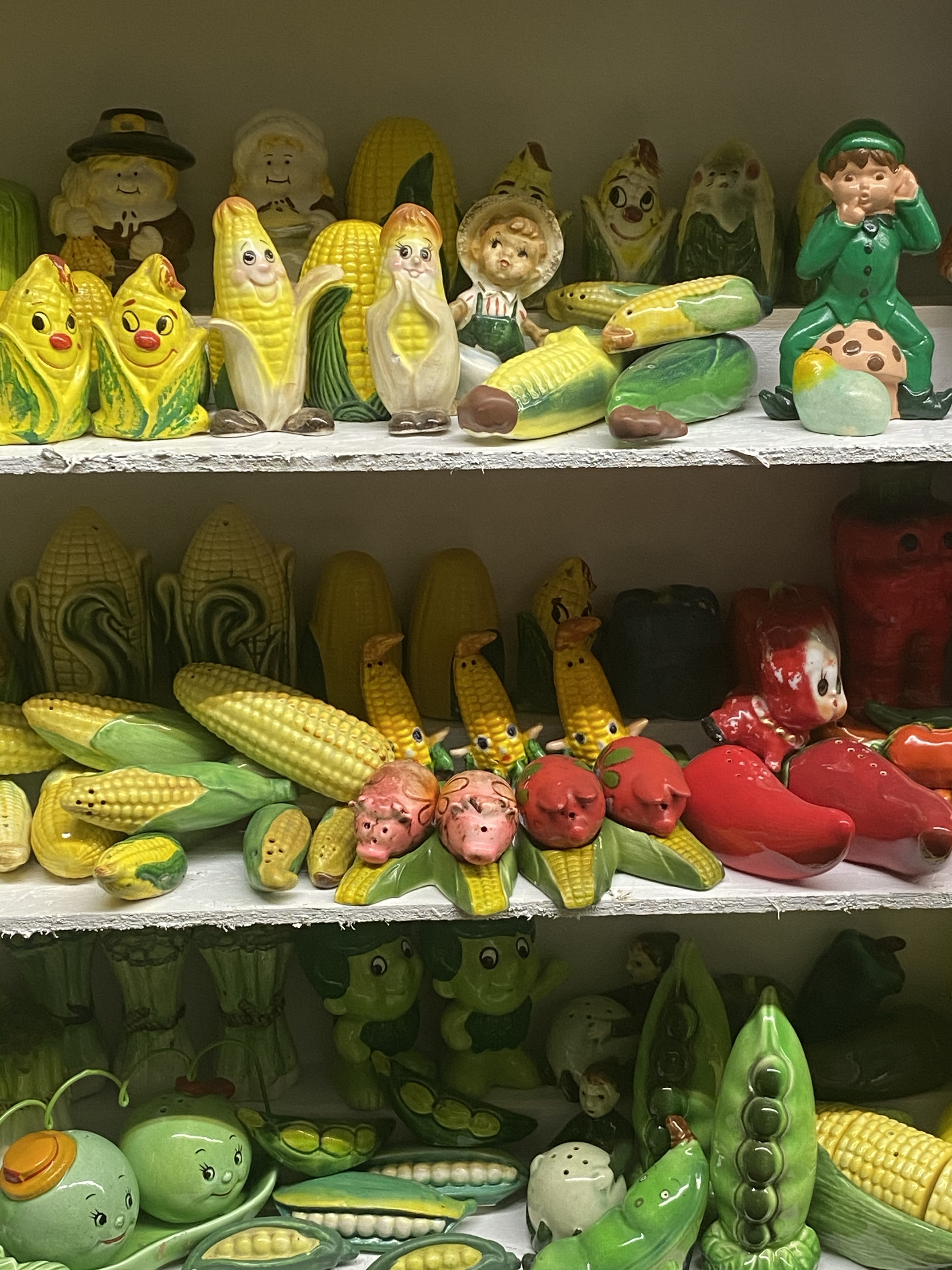
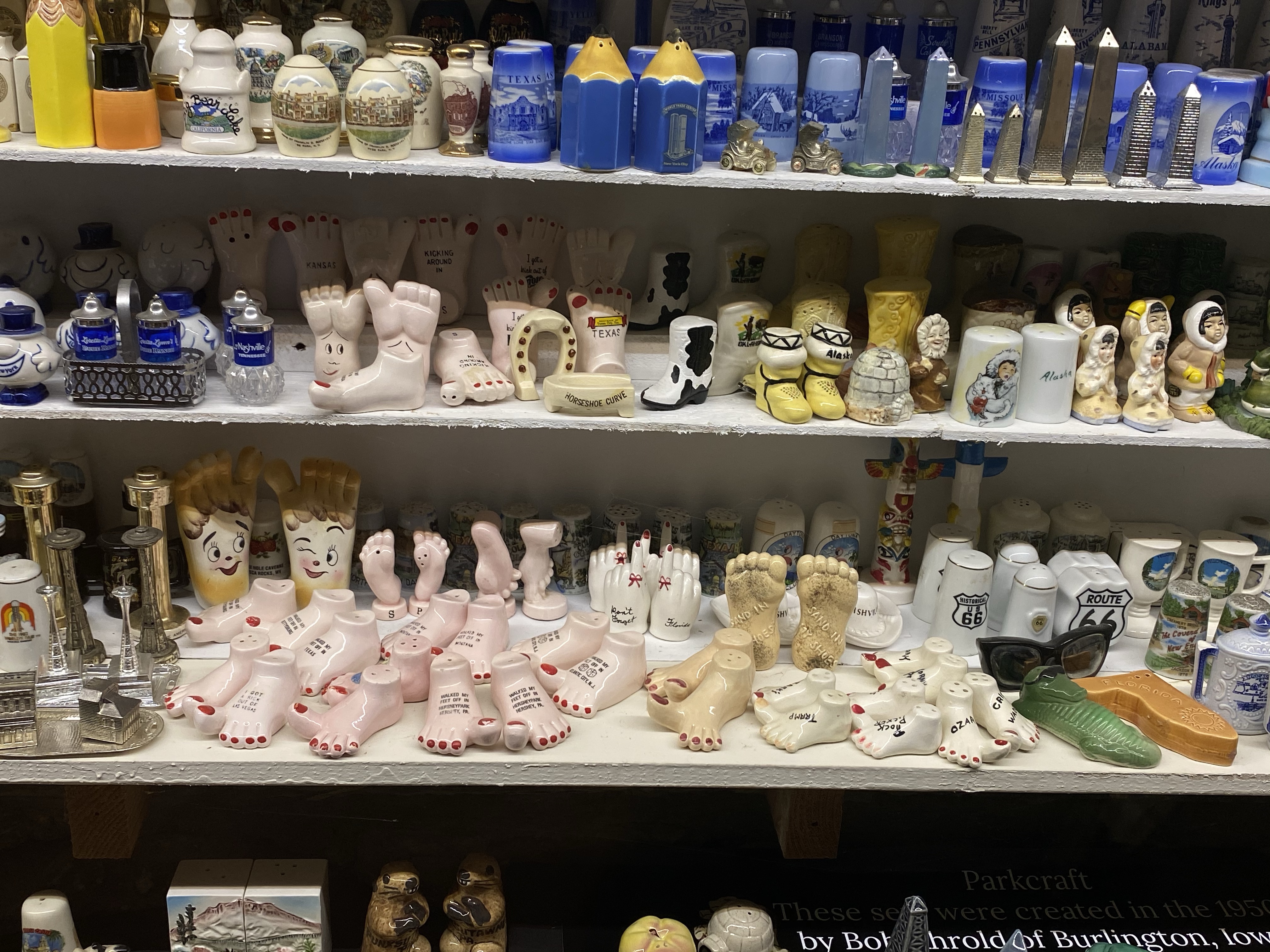
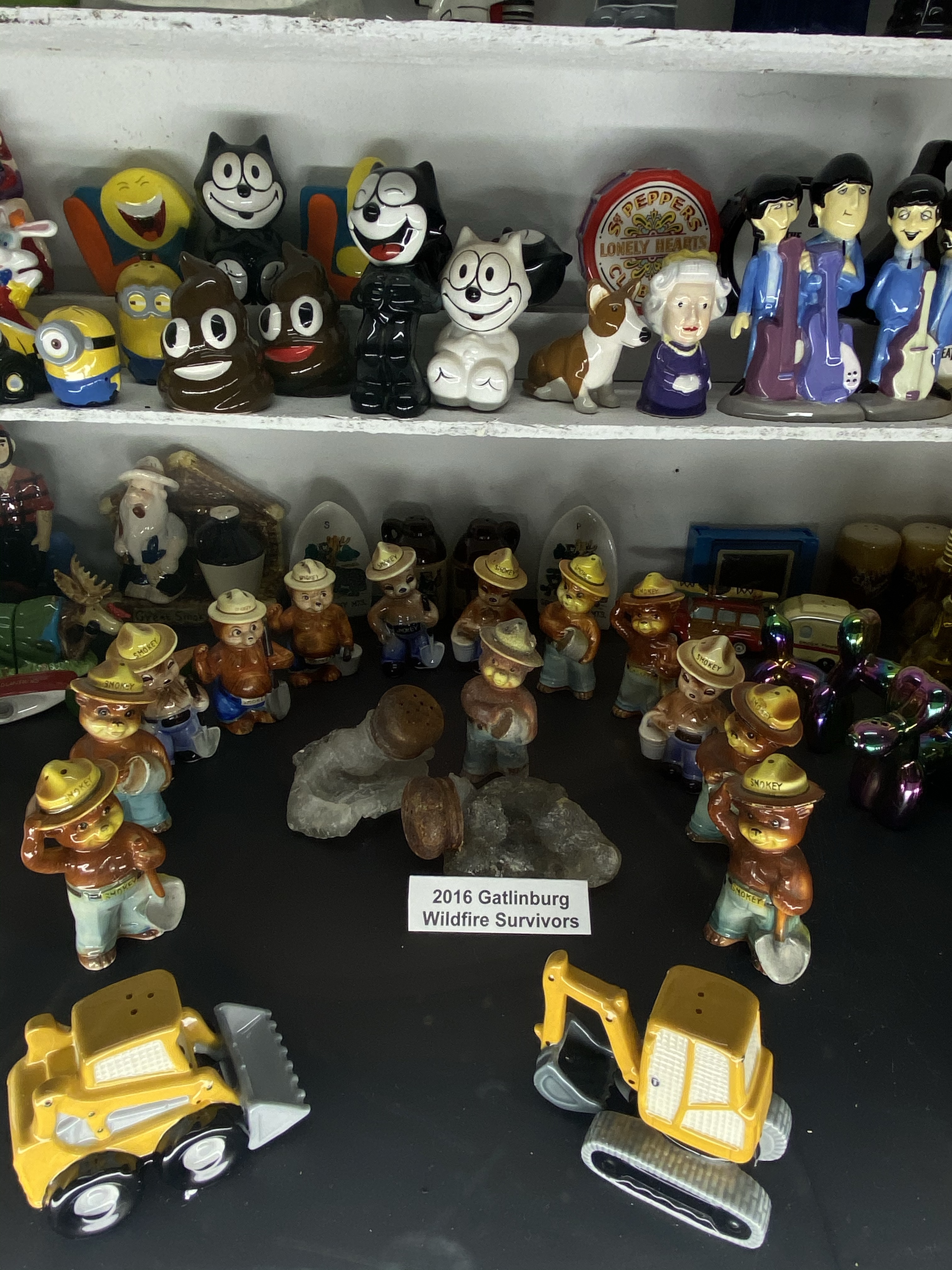
Out of the park finally, and without incident, we went to the Salt and Pepper Shaker Museum in Gatlinburg, a unique side trip! The attraction has over 20,000 salt and pepper shaker sets in all colors, shapes and themes! There are vegetables, pigs, gold ones, nuns, scrambled eggs, movie themed, anything you can think of. We perused the shelves, admiring and laughing, impressed by the variety in the collection!
Then we headed out, deciding we wanted some hard cider, which I where I earned my second driving badge of the day. In the heart of Gatlinburg, the streets were crawling with people. Crowds flowed up and down each side of the road like a major parade was coming through. I drove carefully, the road itself fine. Then I had to make a right hand turn to find parking. The crosswalk was a never ending stream of humans. Eventually a man stopped his family to try to let me through, but each time I began to creep forward, someone stepped off the curb, or around the man, and in front of Sunny. Ahhh! It’s a miracle I didn’t hit anyone, and eventually I did turn. But I told Kristi to find another Cidery, outside of town, because I was not going back to deal with that! Never mind the thoughts about COVID rushing through my head. No thank you!
So we did find a place about 40 minutes away, and worth the drive for the tranquility of it all! We enjoyed a tasting at Wileily Cidery with a Mountain View, sat on the porch to enjoy a drink, and then headed back, taking the long route to avoid Gatlinburg. Oh, the rollercoaster of emotions that day!
The next day was a well needed rest day, for both our bodies and emotions. A slow morning at the campsite and a peaceful drive to our new site, a rest in the hammock by the creek, all did the body and soul good!
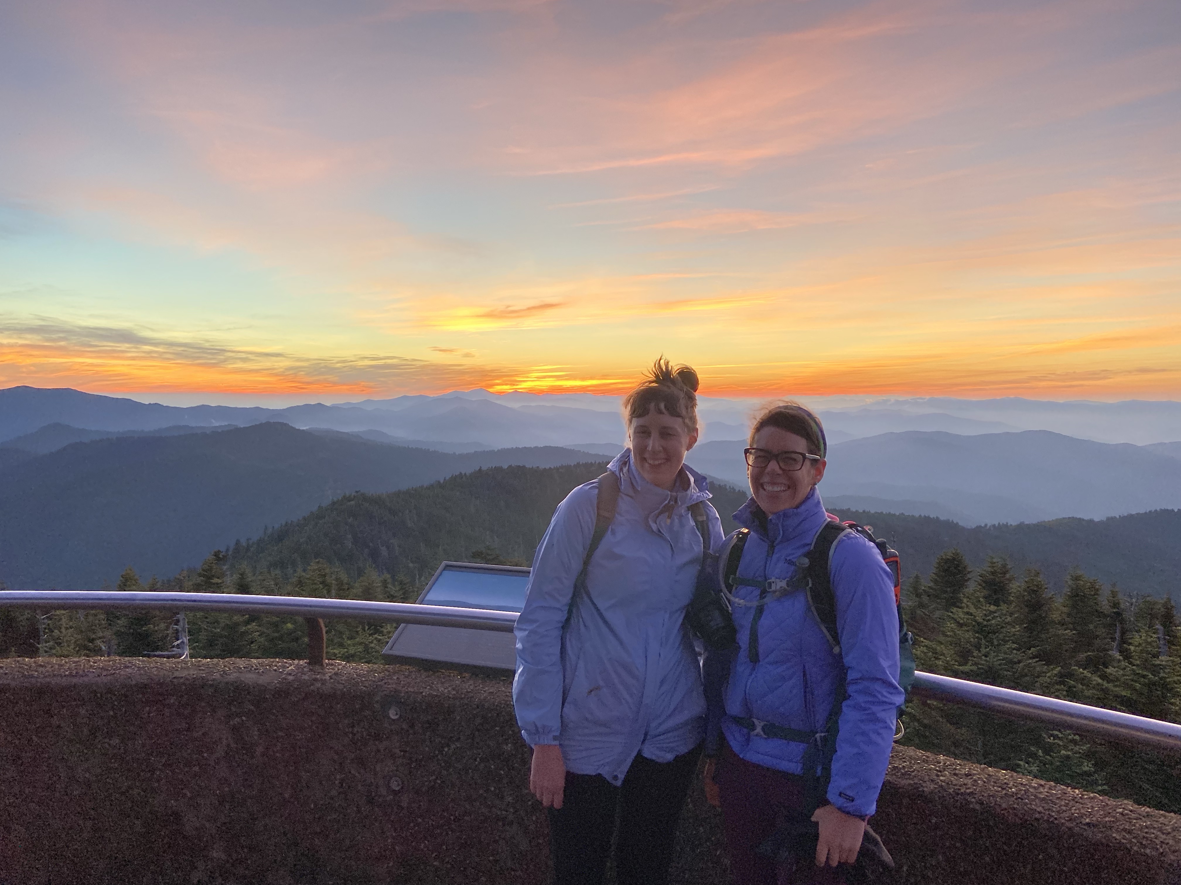
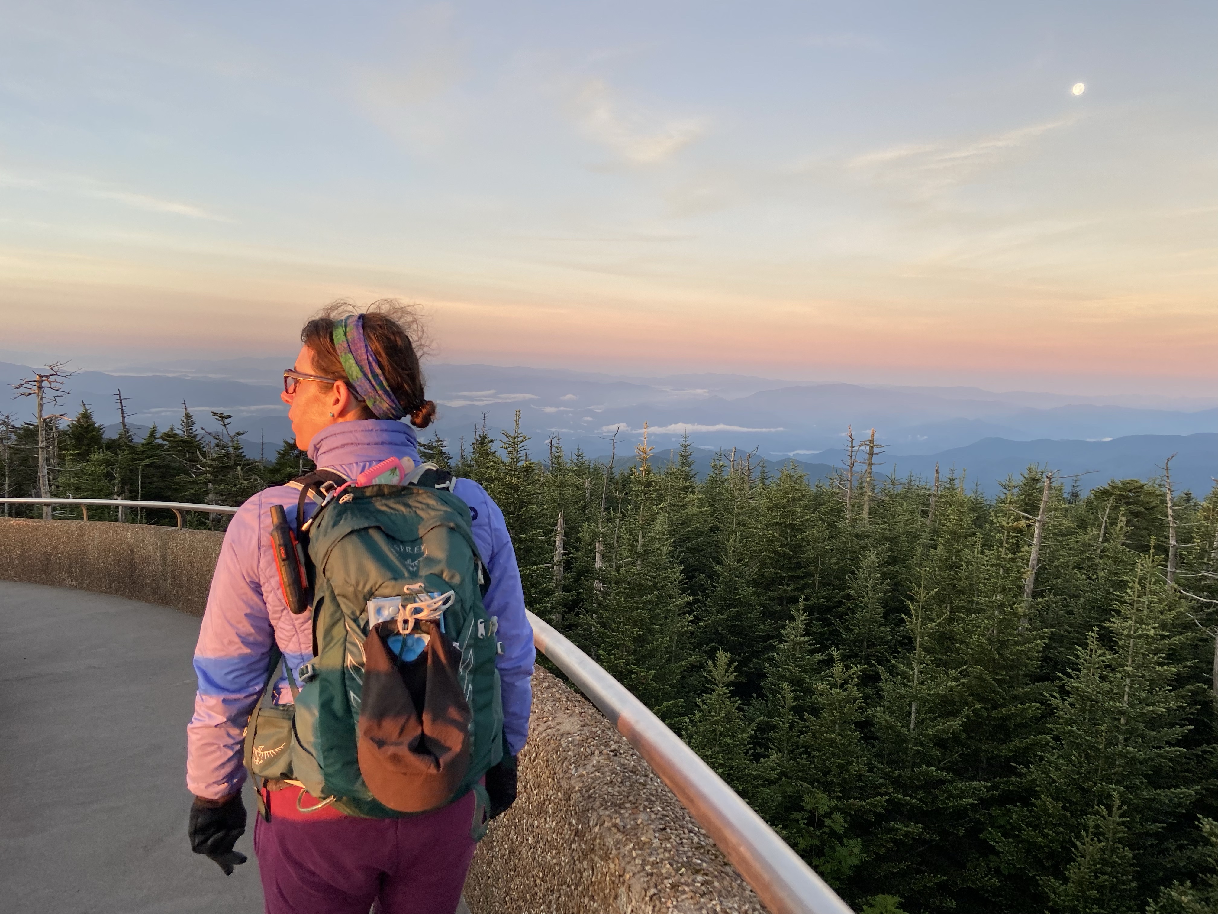
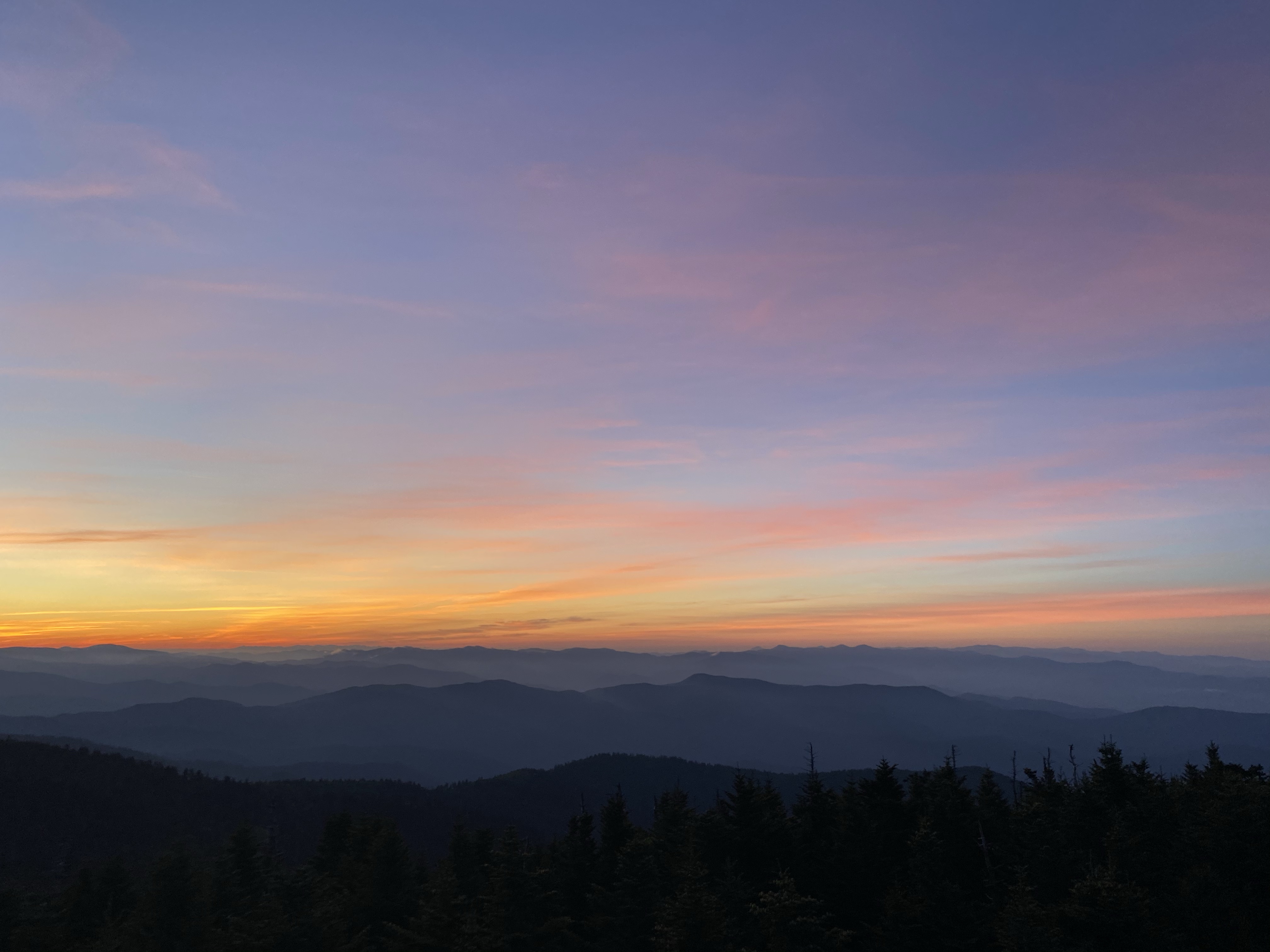
For our last full day together in the Great Smoky Mountains, we went all in! Kristi and I got up in the dark, drove to Clingman’s Dome, the highest point in the park, and watched the sunrise. We finally saw the magnificent layers of mountains the area is known for, the sky painted in glowing pinks and oranges, making up for all the view missed on our first hike. It was chilly and breezy on the tower, but so worth the view. The mountains, hues of blue, seemed to go on forever, stretching into the distance.
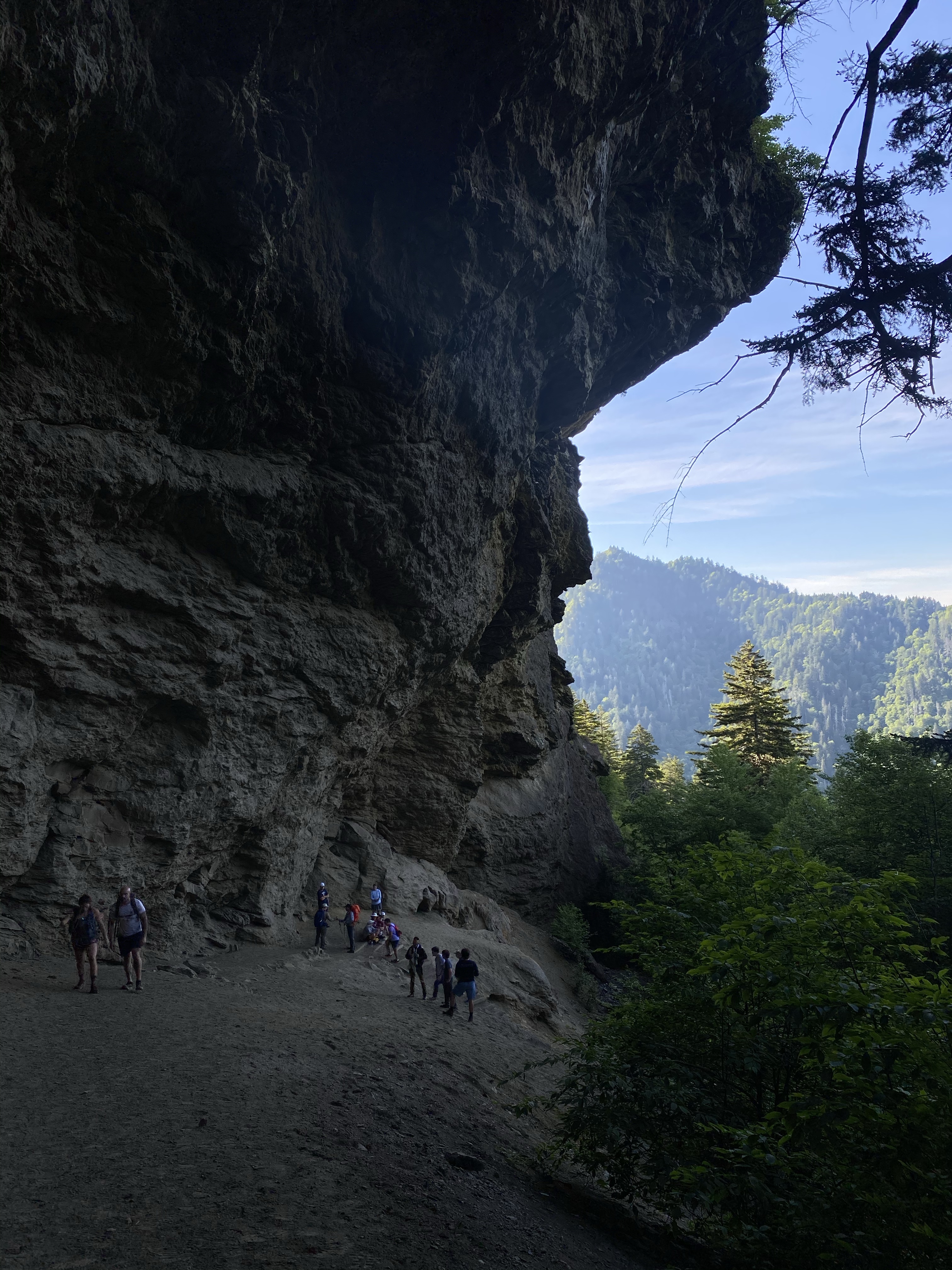
Next we went to the trail, hiking up to Alum Cave and then Mount LeConte. The trail was strenuous, climbing nearly 3,000 feet up. The path wet from rain and well supplied streams, the flora and fauna kept us distracted. And as we climbed, views graced our view once again. Each time I had to pause and breath, it didn’t seem real.
At the top we opted for an extra 0.2 miles to the Cliff Tops, and worth the effort it was! A Rocky steep path brought us to more wonderful views that we enjoyed while eating lunch. It was hard to pull ourselves away, but go down we must. We felt fulfilled though, it had definitely made up for everything we didn’t see that first hike.
Our last morning together it rained. We did a short walk near the creek, turning around when we realized we just kept climbing, and enjoyed the “Th Sinks” at near the parking lot. I earned driving badge number three that day, parking in a tight spot! I’m an expert now. Haha
I dropped Kristi off at the airport early in the afternoon, grateful for her company the last few days. So glad she made the trip out! Then I headed to see family again in North Carolina, bringing my trip almost full circle. Staring my last week where I ended my first week of the trip. Where have 10 weeks gone! Wow. Almost home.
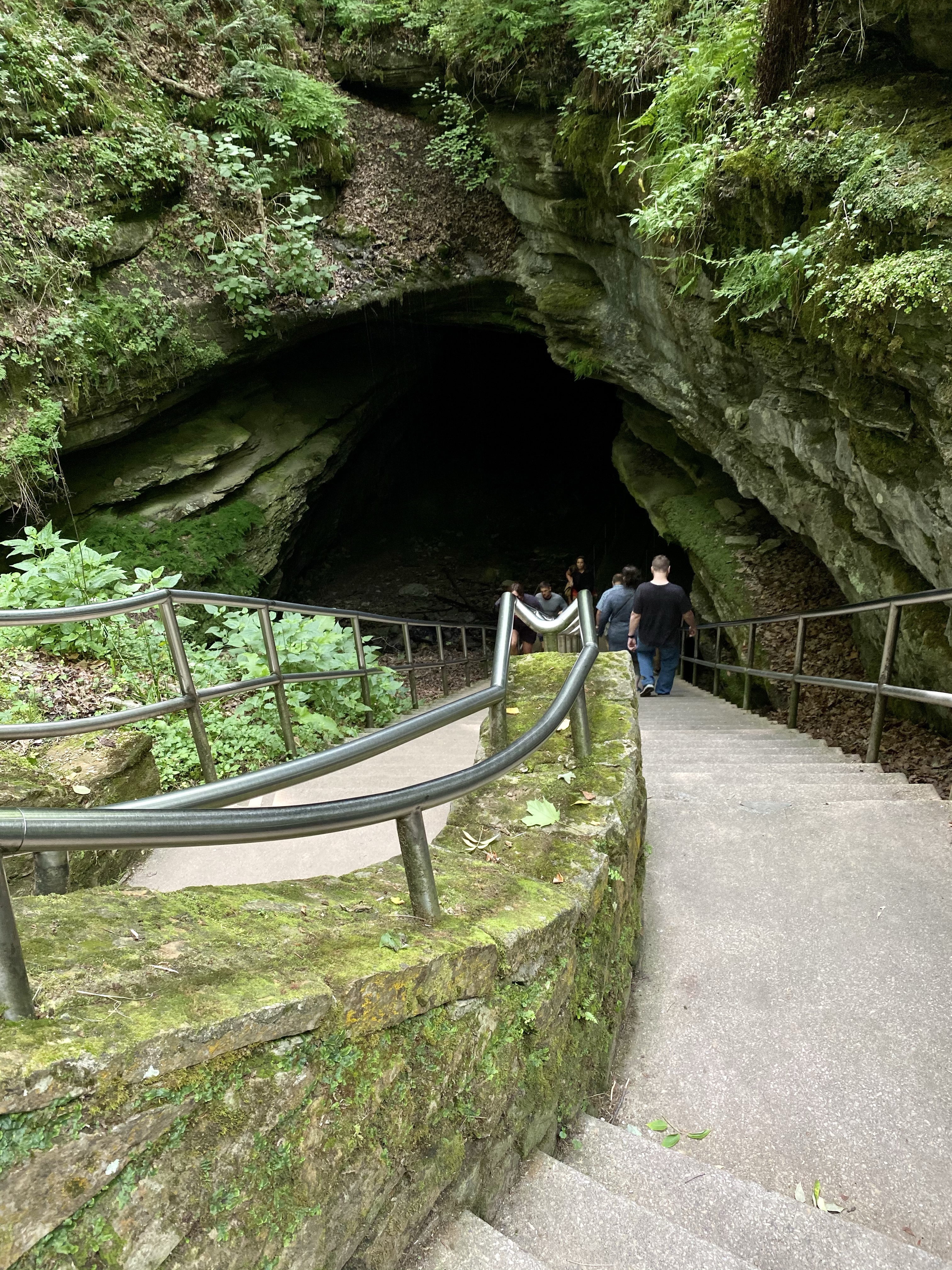
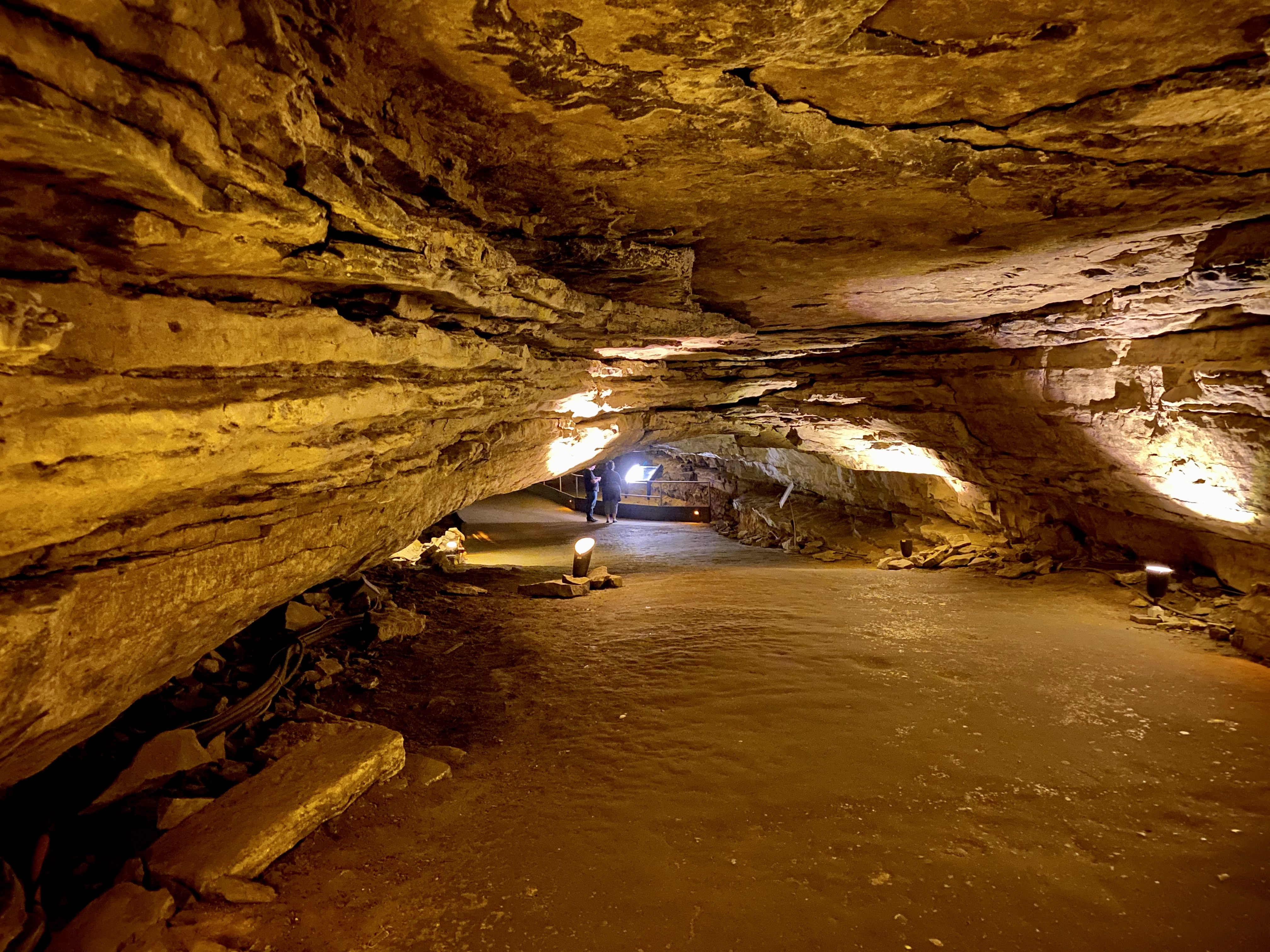
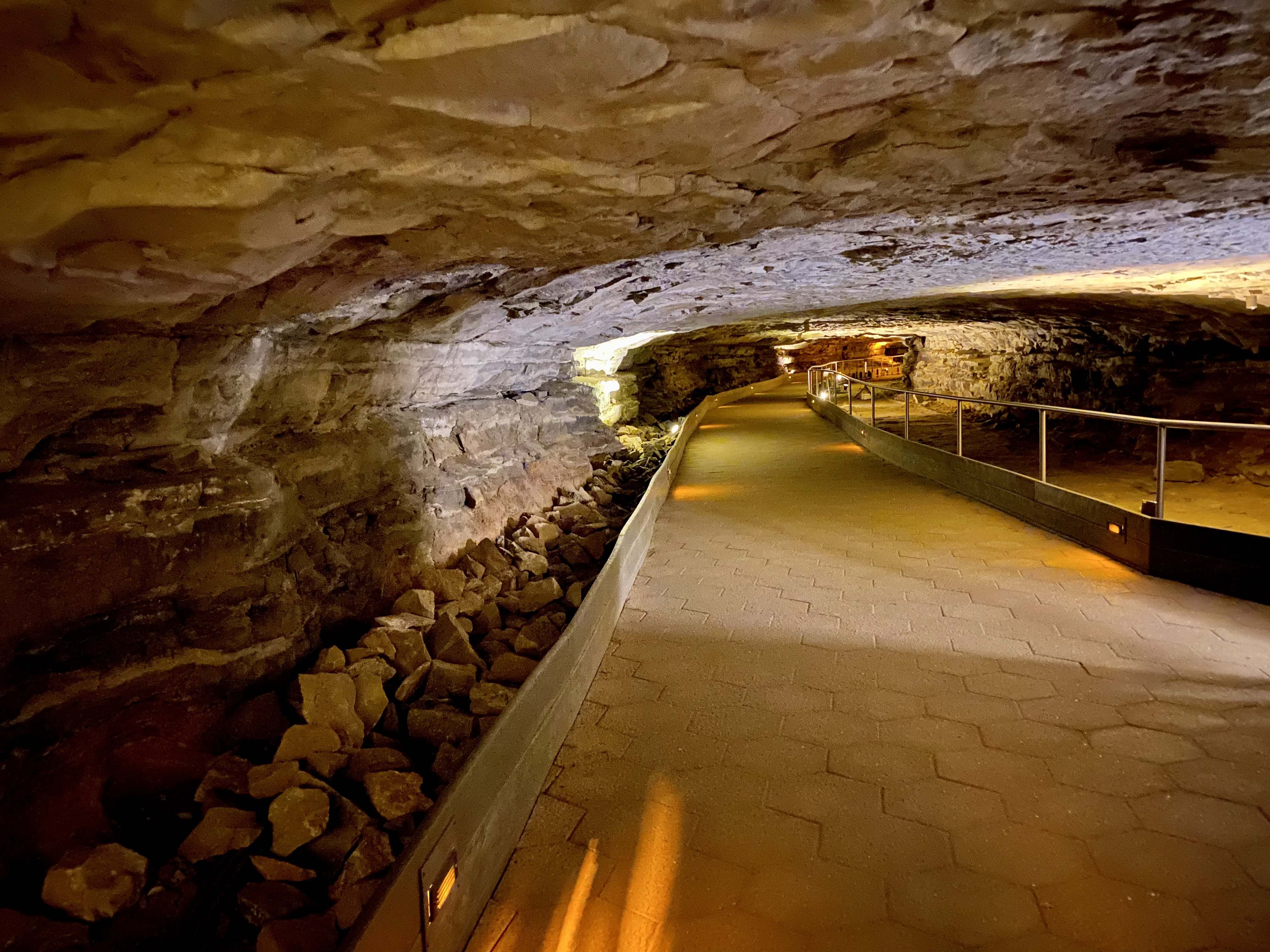
A last minute decision to visit Mammoth Cave gave me the opportunity to experience a tiny portion of this spectacular place. A park with forest, hiking, water, ferry rides, and caves, several days would be needed to do it justice. The caves alone need a few days. There are over 400 miles of surveyed passageways! Due to the spur of the moment trip, I was only able to enter participate in the Self-Discovery Tour through the Historic Entrance. That was pretty cool though.
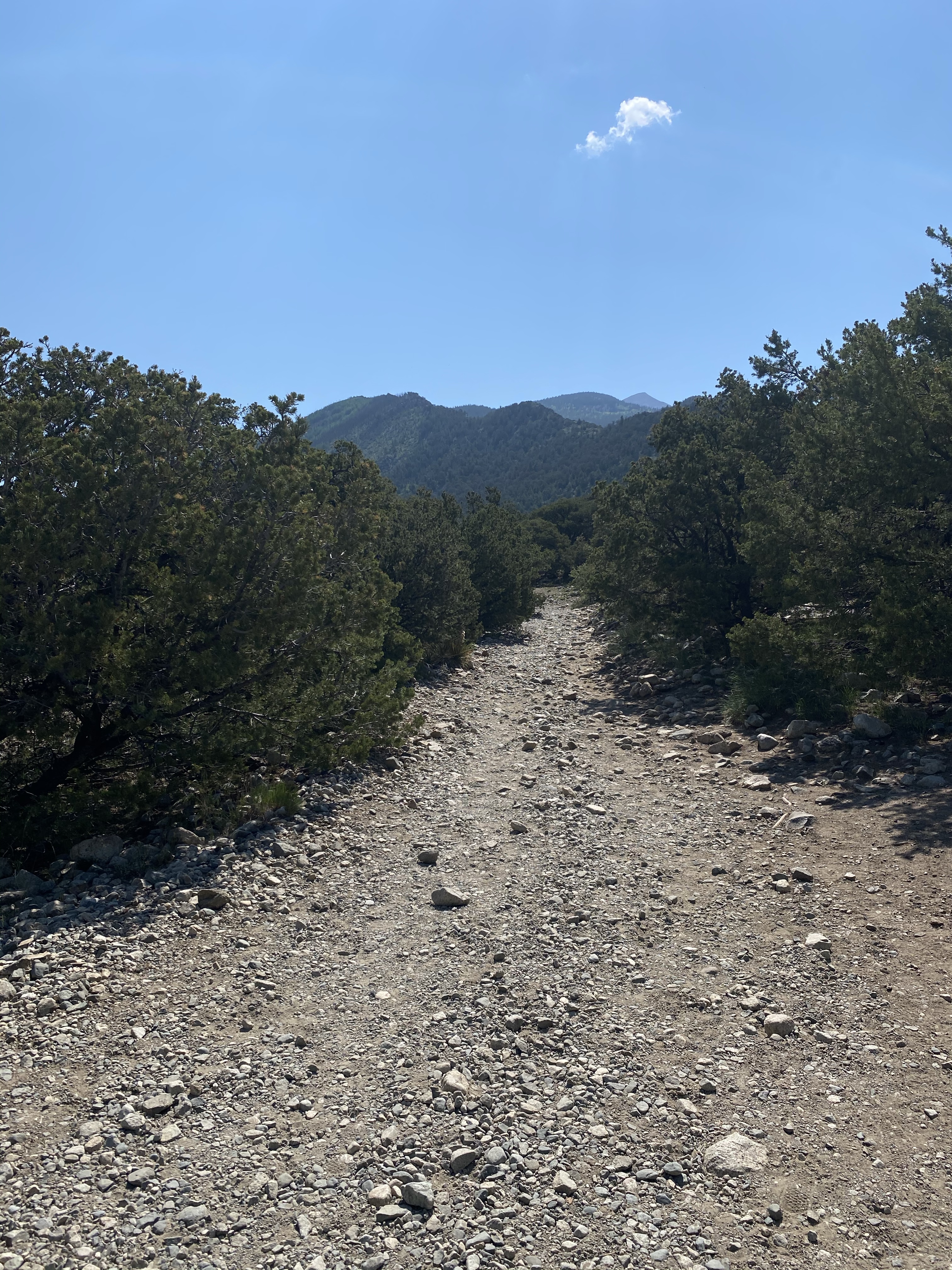
Upon arriving at the park, you drive through miles of green, thickly trees forest. Below this covering lies a world of caves, spreading out and intertwining like spaghetti, for over 400 miles! So many surprises await underground.
The visitor center is a hubbub of activity, everyone trying to book tours and awaiting their entrance time. I was lucky, as a solid traveler, to snag a spot on a soon to begin tour and awaited my turn. To pass the time, I shopped the bookstore and passed through the museum.
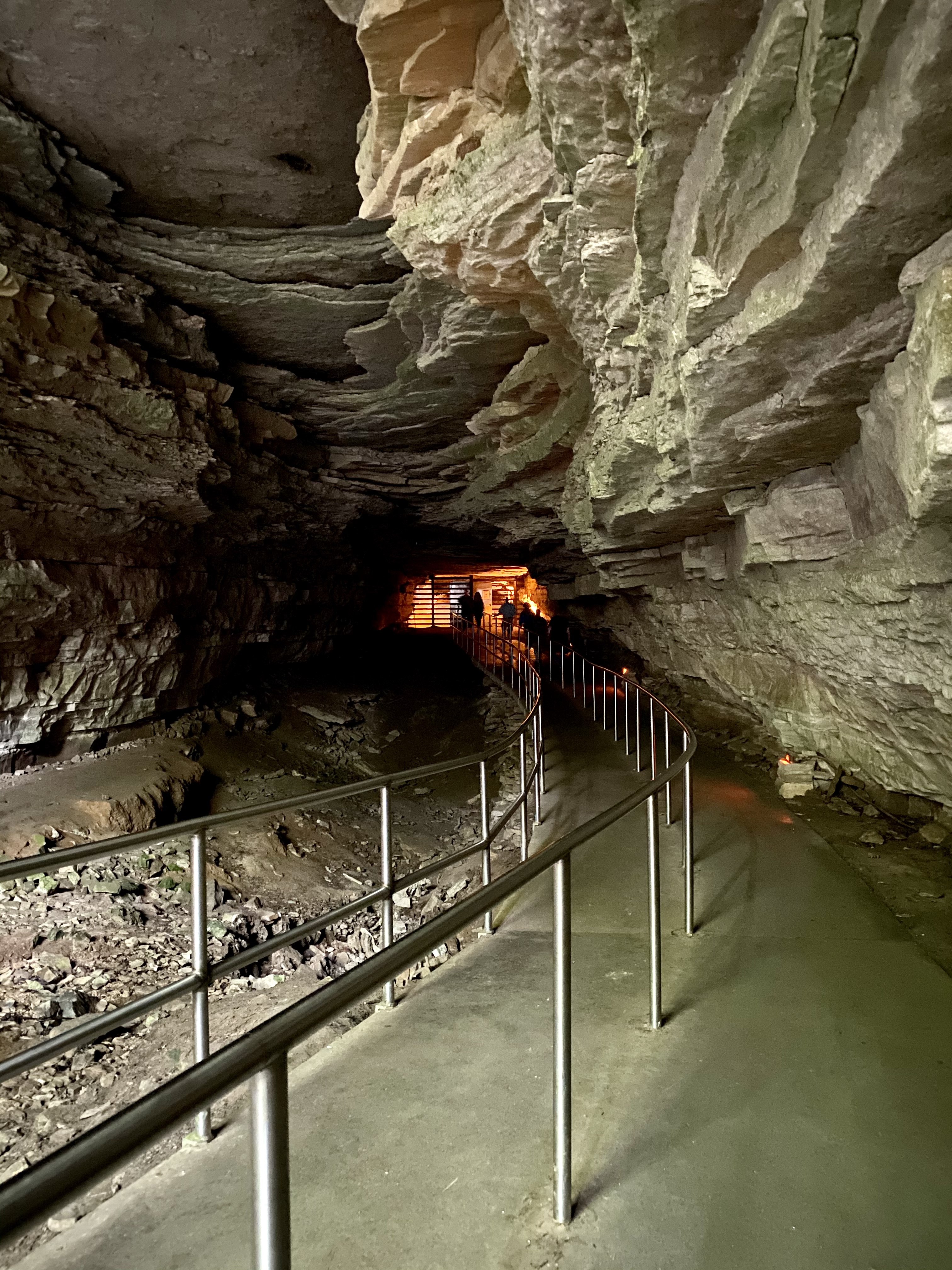
This is the largest known cave system in the world with passages intersecting and running above and below each other. The fact that Kentucky is a karst landscape, meaning water flows rapidly underground, has made this cave system possible. The mildly acidic water dissolves the limestone, creating the tunnels. The sandstone above protects the tunnels from collapsing, thus the enormous size of Mammoth Cave. It also means in most of the cave there are no intricate stalagmites or stalactites because water from the surface does not drip down. Therefore, most of this cave system will always remain open. Caves like Carlsbad Caverns will eventually fill up with structures.
The water that created Mammoth Cave is connected to the Green River. As it sunk lower and lower below the surface, it created all kinds of shapes. Down underground there are tubes, fissures, vertical shafts, and canyons. Cave explorers continue to undercover more miles of this cave each year. What a thrilling job!
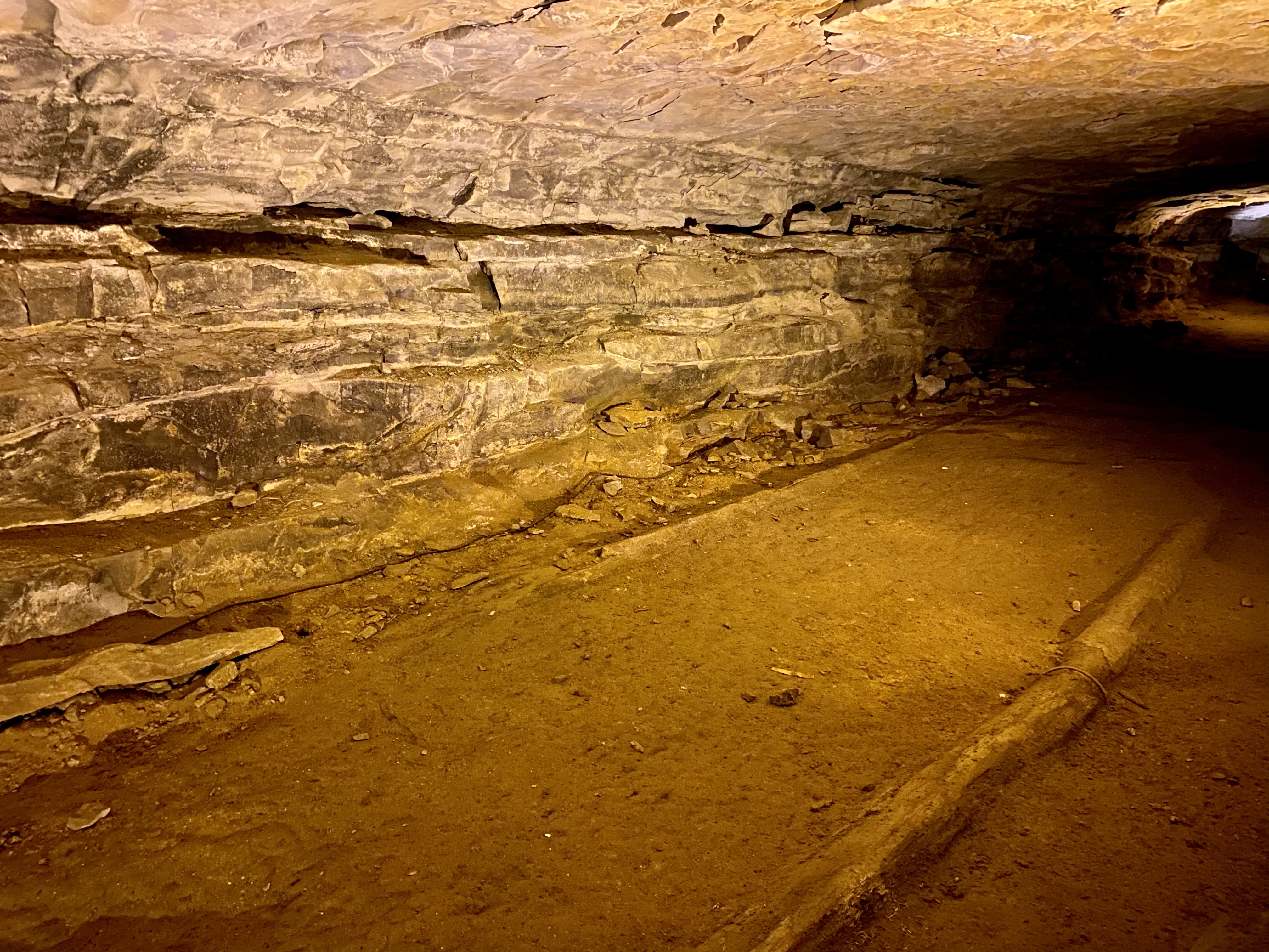
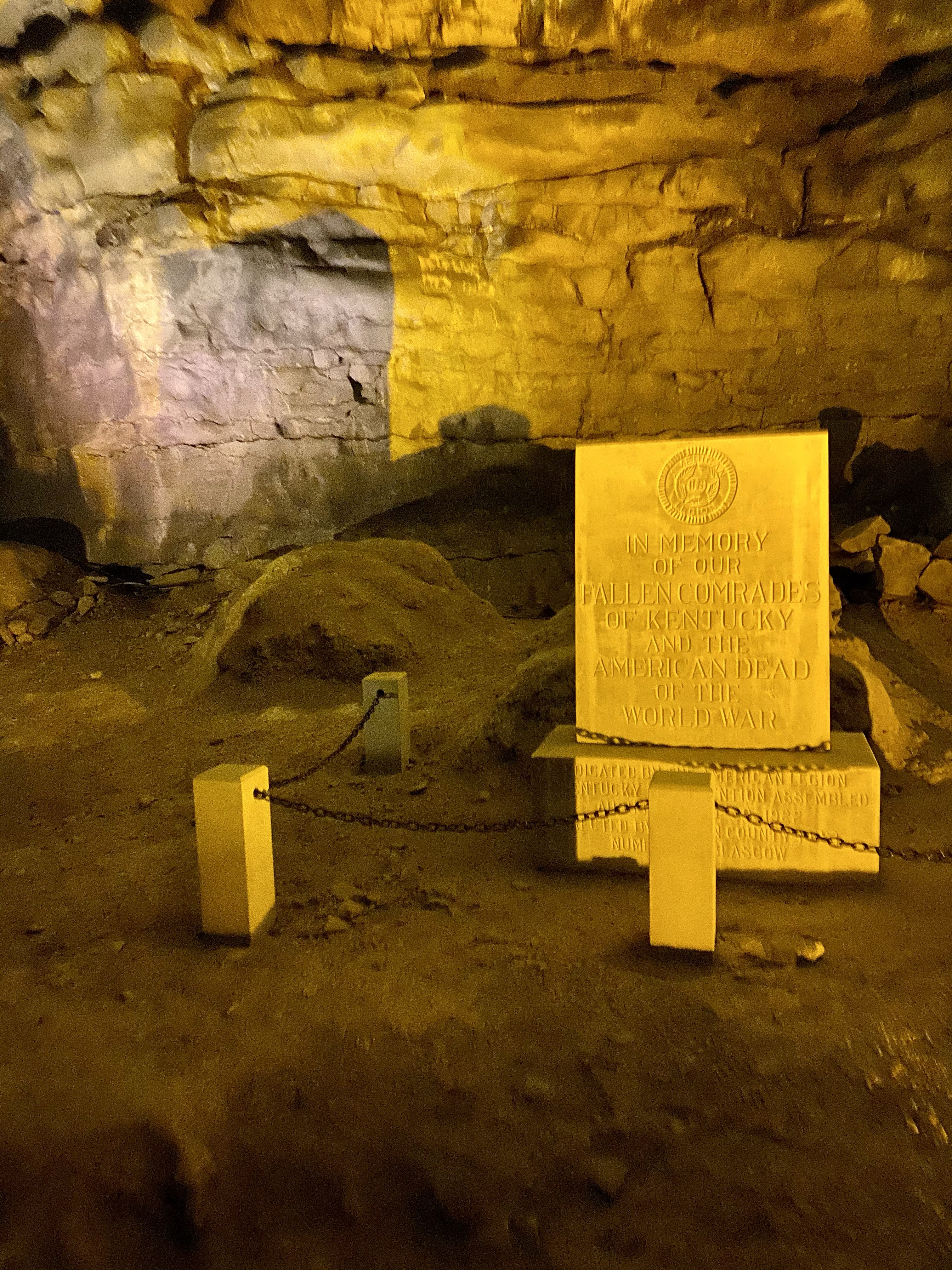
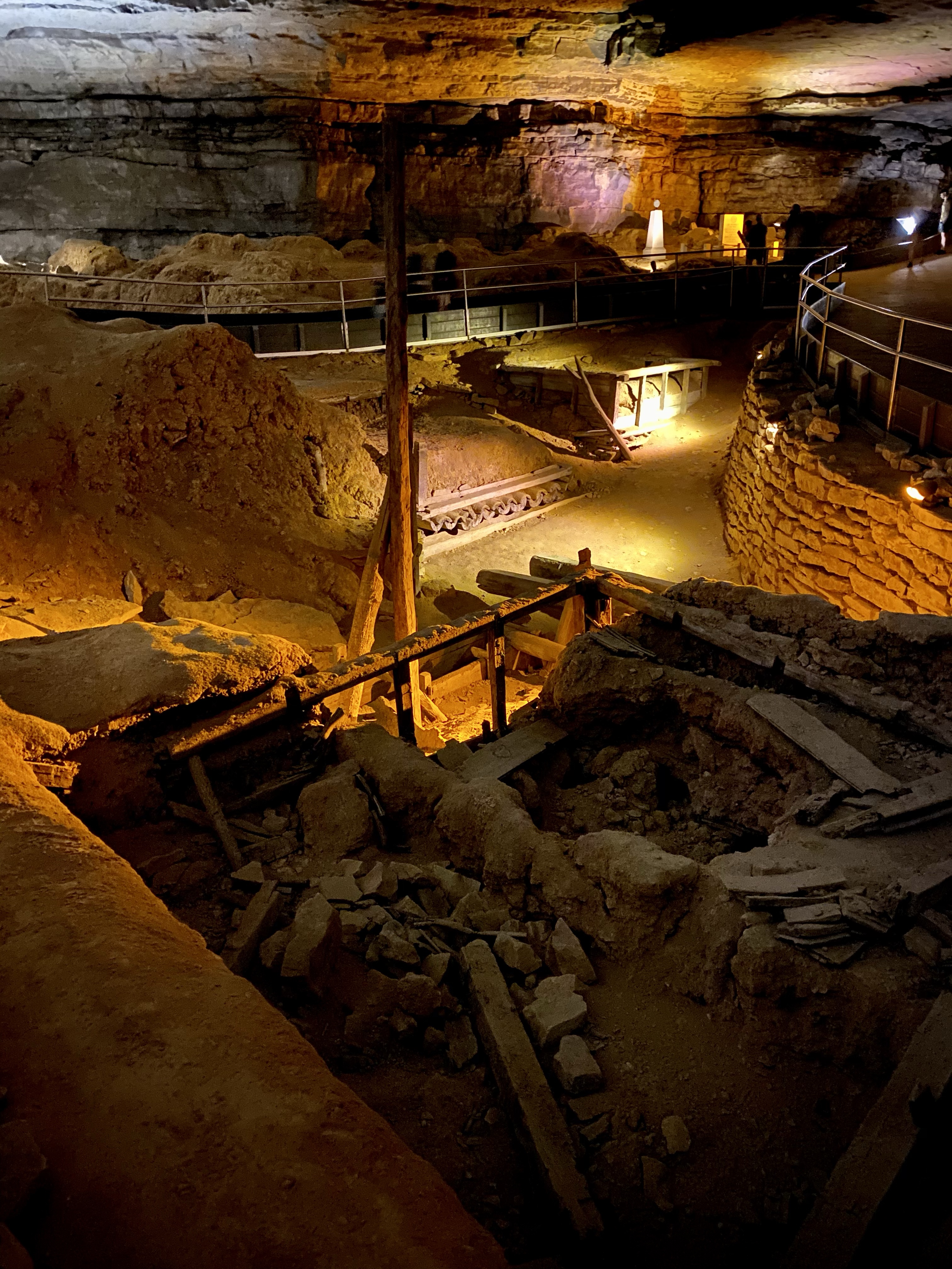
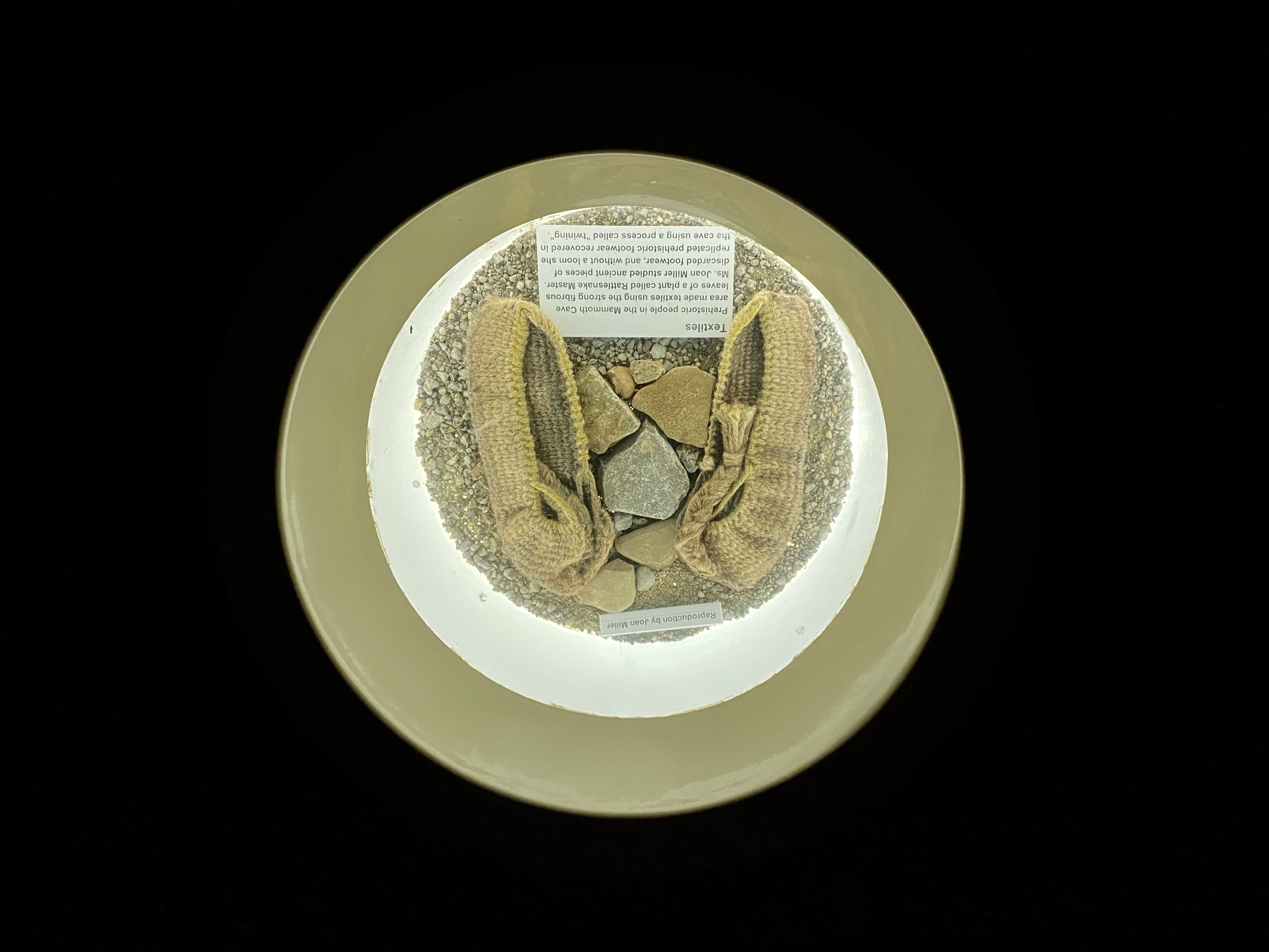
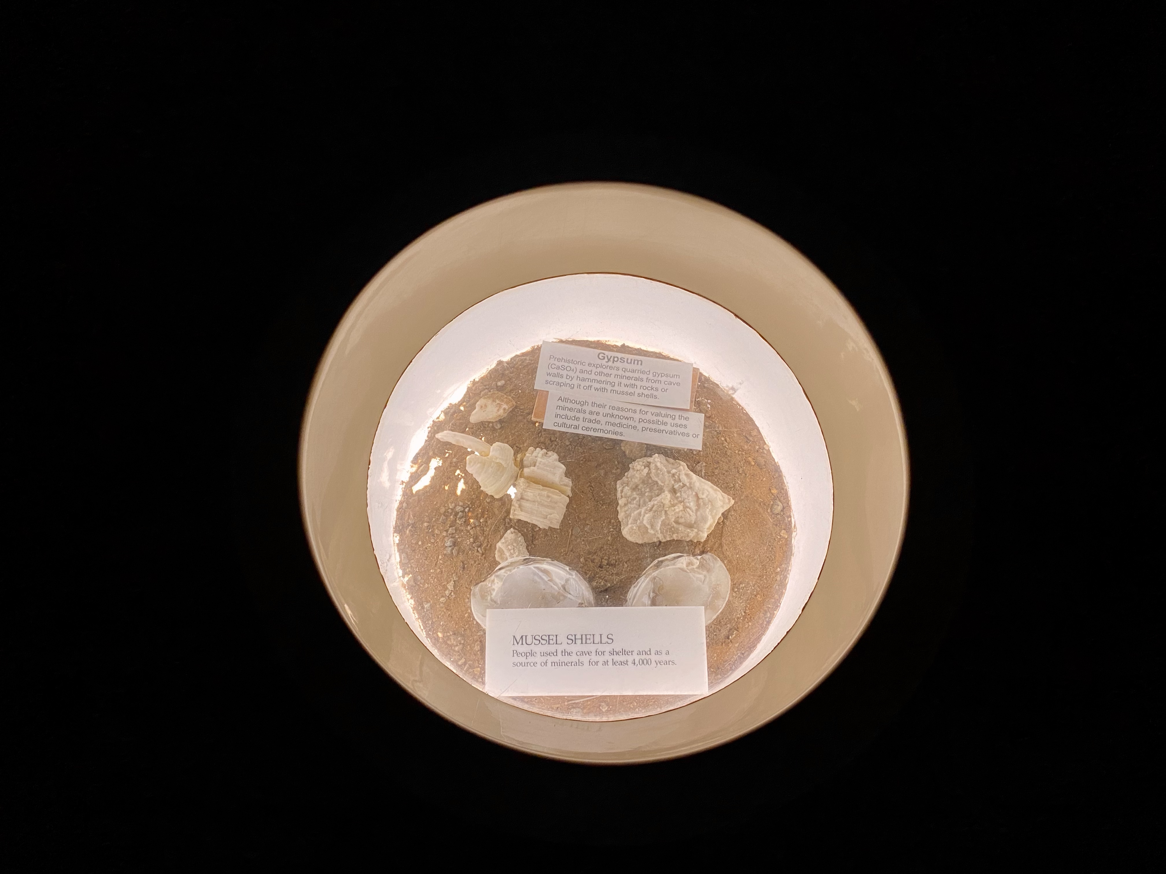
The cave has had many purposes over the years. First, the beginning miles of the cave I entered were used by prehistoric indigenous people for many years. Their exact purposes are largely unknown as of today, but they might have been ceremonial or for minerals. In the 1800s, after the cave was rediscovered, operations to extract nitrate-rich cave soil to make gunpowder ensued, harvest limestone for gravel, host WWI Memorials, and even a mushroom farm. As you wander through this part of the cave on your self-guided tour, you can see the artifacts of these operations all around.
Down below they are also conducting science experiments to track how humans affect the cave and its animal dwellers. In the Twilight Zone, the transition zone between light and complete darkness, ferns and mosses grow and salamanders, mice, raccoons and wood rats live. Bats rest in the dark recesses of the cave, but come out to hunt for food. And in the subterranean rivers, eyeless cavefish swim and eat other invertebrates dwelling down there.
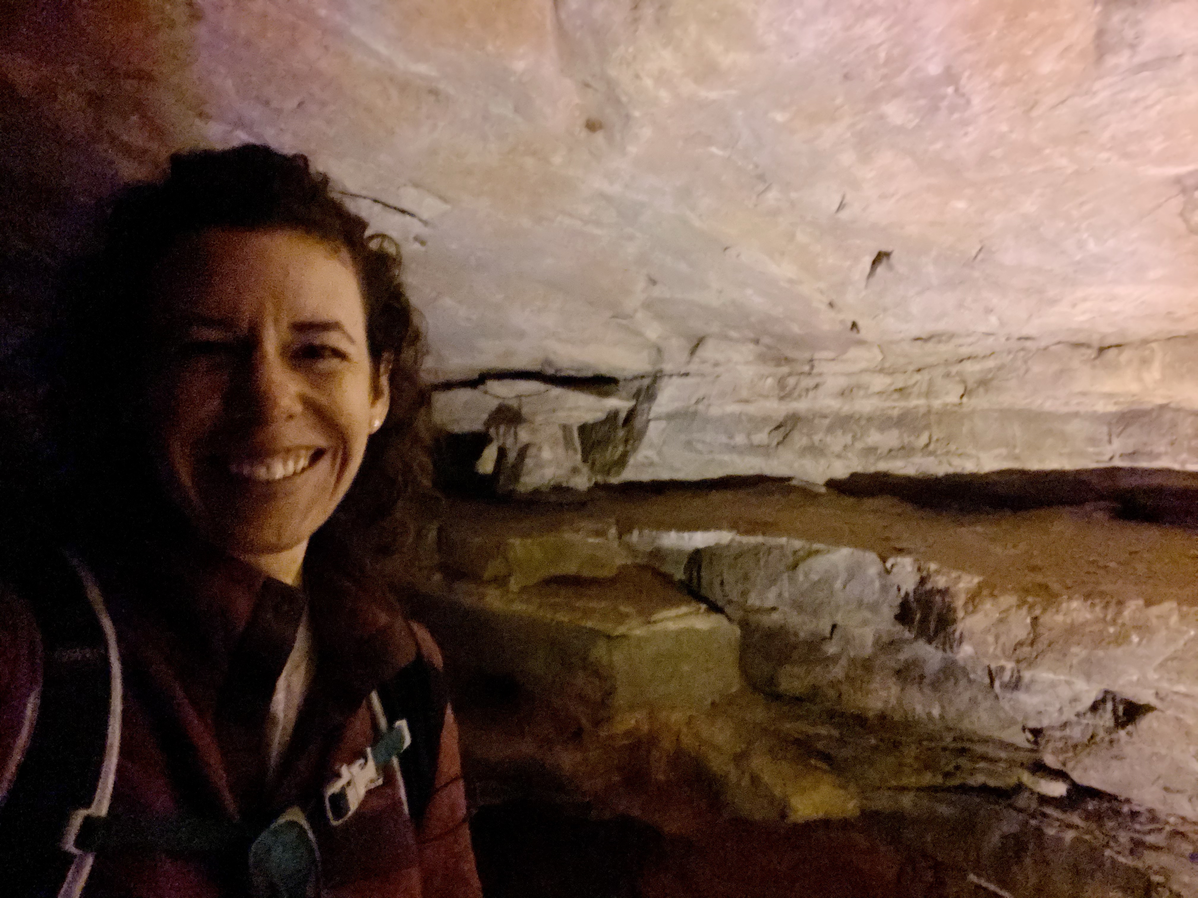
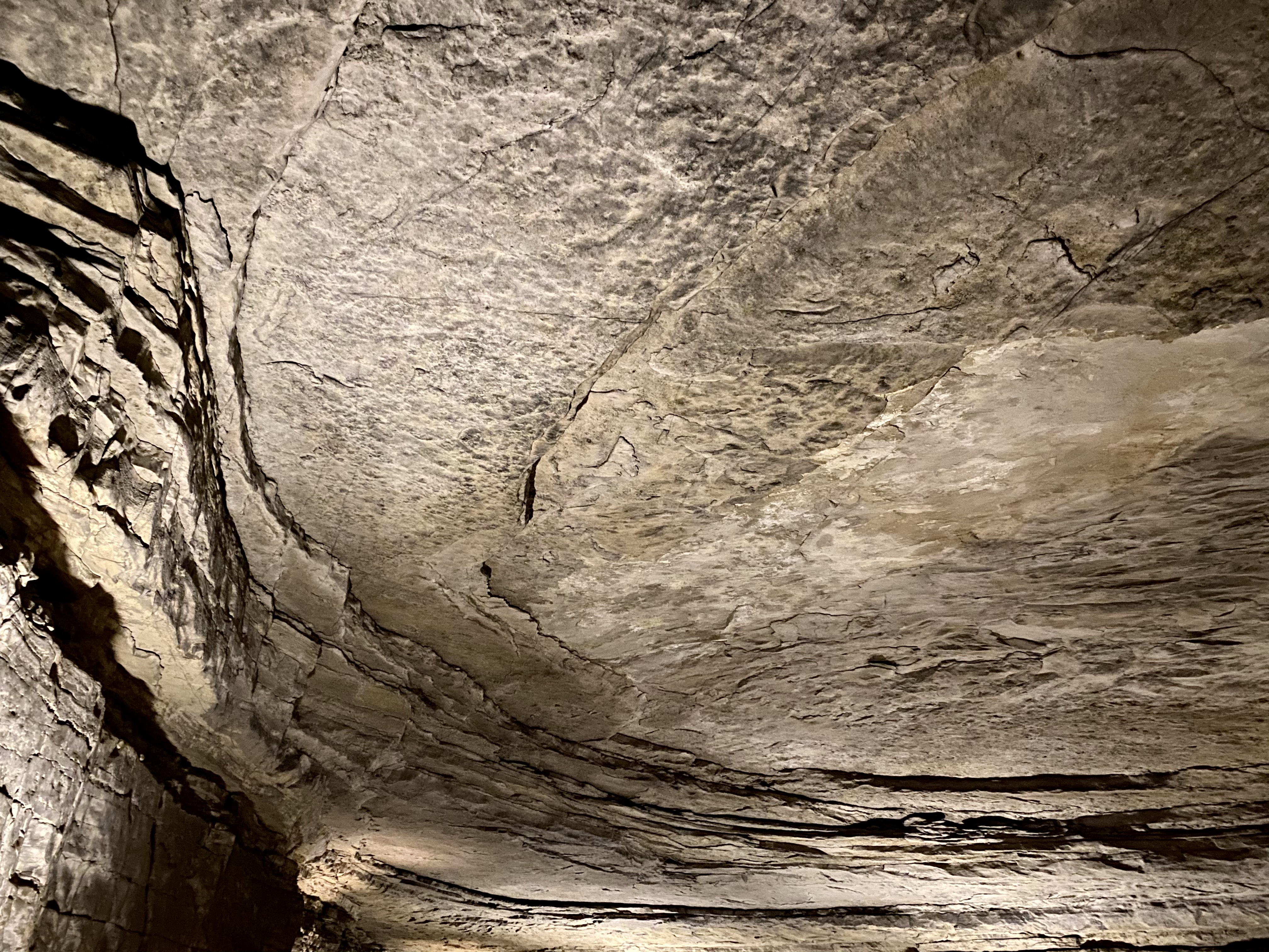
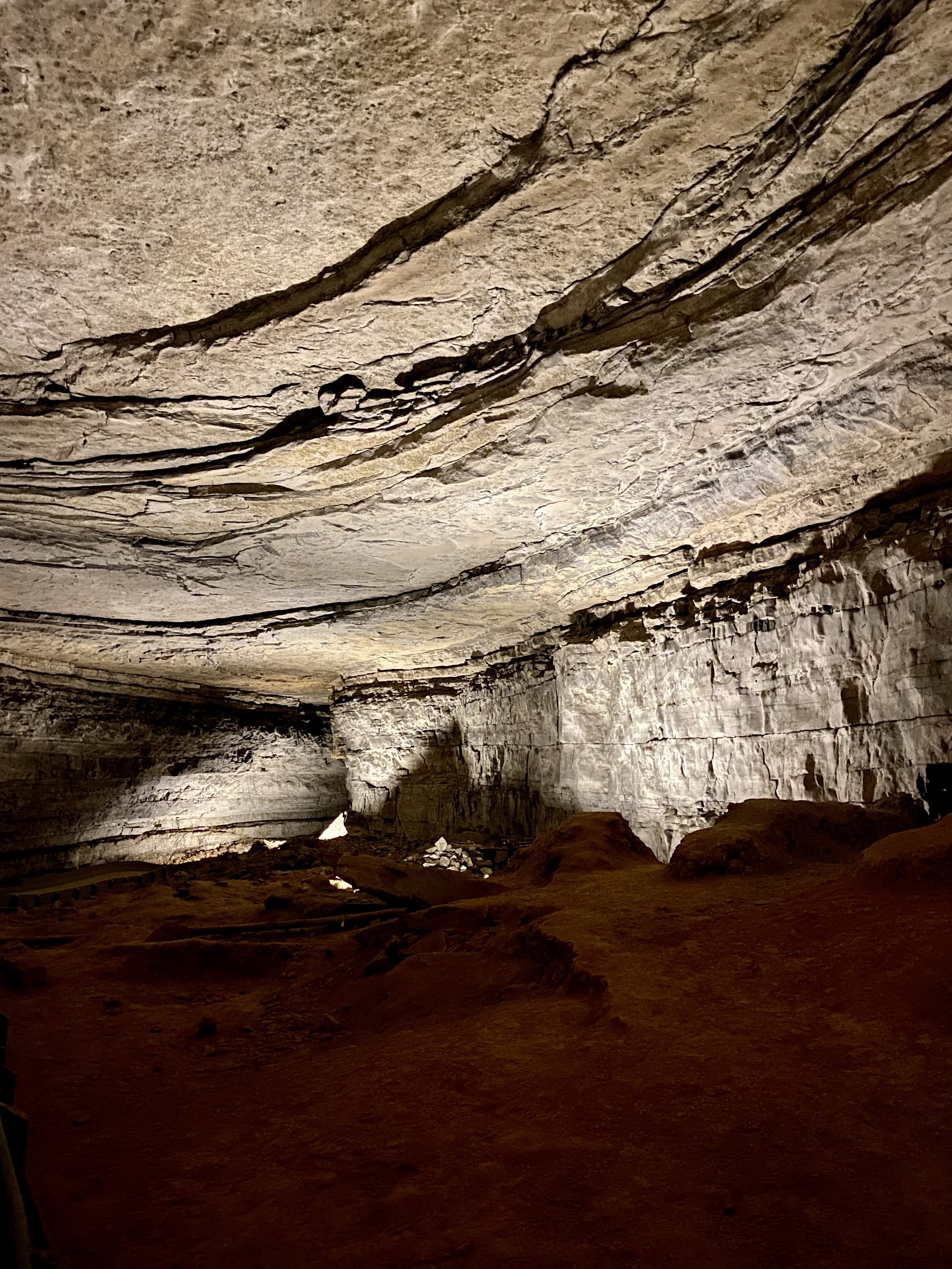
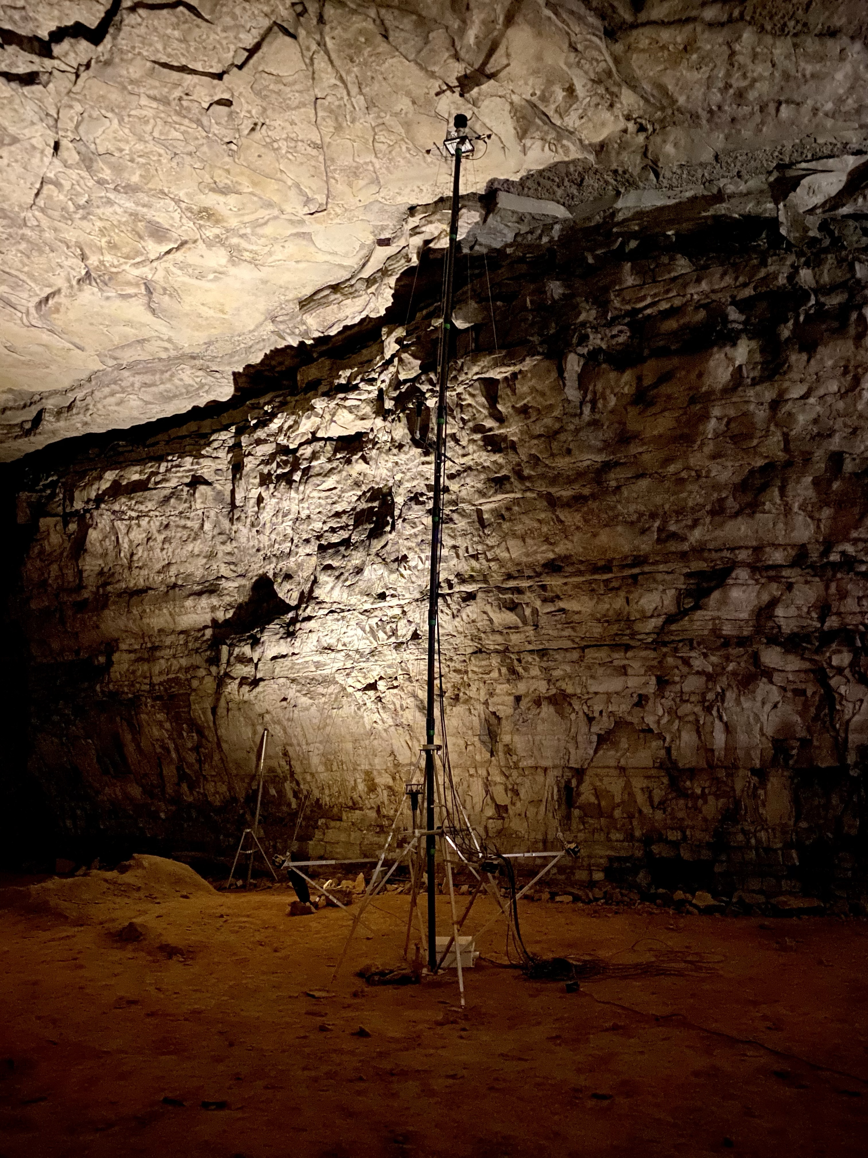
After a short walk through the woods, I descended the stairs into the dimly lit cave and walked about. Wide with low ceilings at first, the cave opens into a large tunnel and several mammoth rooms. Rock walls curve above you, tens of feet above your head. Yellow, white, tan and black from ash of ancient flames, the cave is cool (54 degrees) and damp. Sound echoes around you. You feel small.
I spent about an hour walking around, reading, learning, admiring, talking to park rangers. Then I exited into the heat and humidity of above ground. This short introduction certainly enticed me to return! I’m thinking maybe a latent tour, or a crawling tour next time? Who wants to join me?
Before I left to head to Tennessee, I finished my tour of the museum to learn about the indigenous people connected to this land. The Cherokee, Chickasaw, Shawnee tribes all have connections to this land. Long before it was a national park and World Heritage Site, these indigenous people farmed the land, lived under rock shelters, and utilized the caves for a variety of purposes which need more research. Disease, war, and broken treaties pushed them out of their lands over the years. The Park and its staff are working closely with the relatives of previous inhabitants to make sure this sacred place is respected today.
I’ll be back one day to check on how the park is honoring the indigenous people and to appreciate more of this preserved place!
After leaving Great Sand Dunes National Park, I spent a little less than a week driving 1,400 miles east to get to the Great Smoky Mountains! I traveled through 6 states, 3 times zones, and a heat wave. Descending from high altitude to the plains of Colorado, and then Kansas, Missouri, Indiana, Illinois, and Kentucky brought me to 90-100 degrees days and humidity. Oh the humidity! I’d forgotten what it was like to feel sticky and wet. And I did not miss it! All was not boring and bad though. I came across the neat attractions along the way.
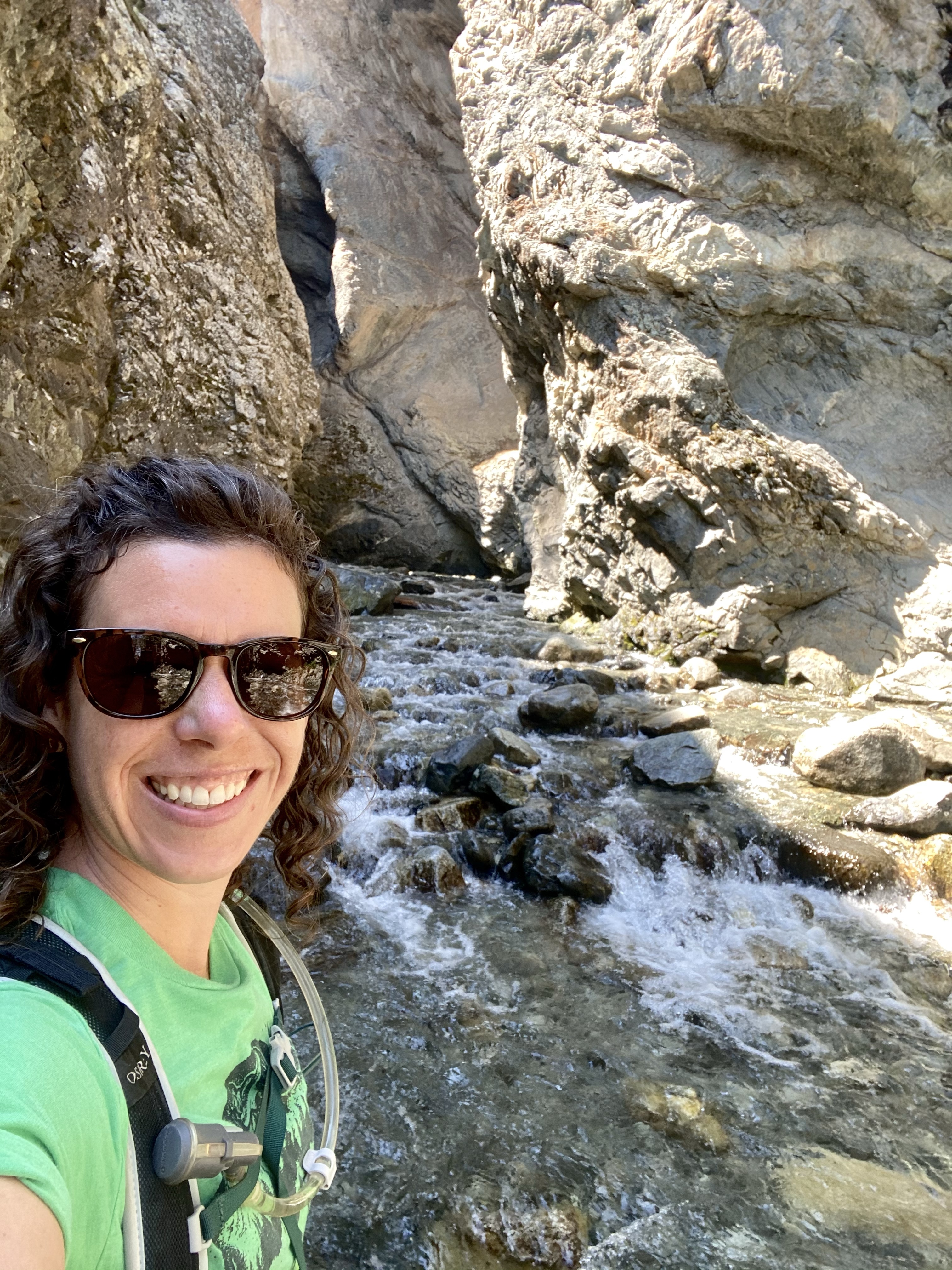
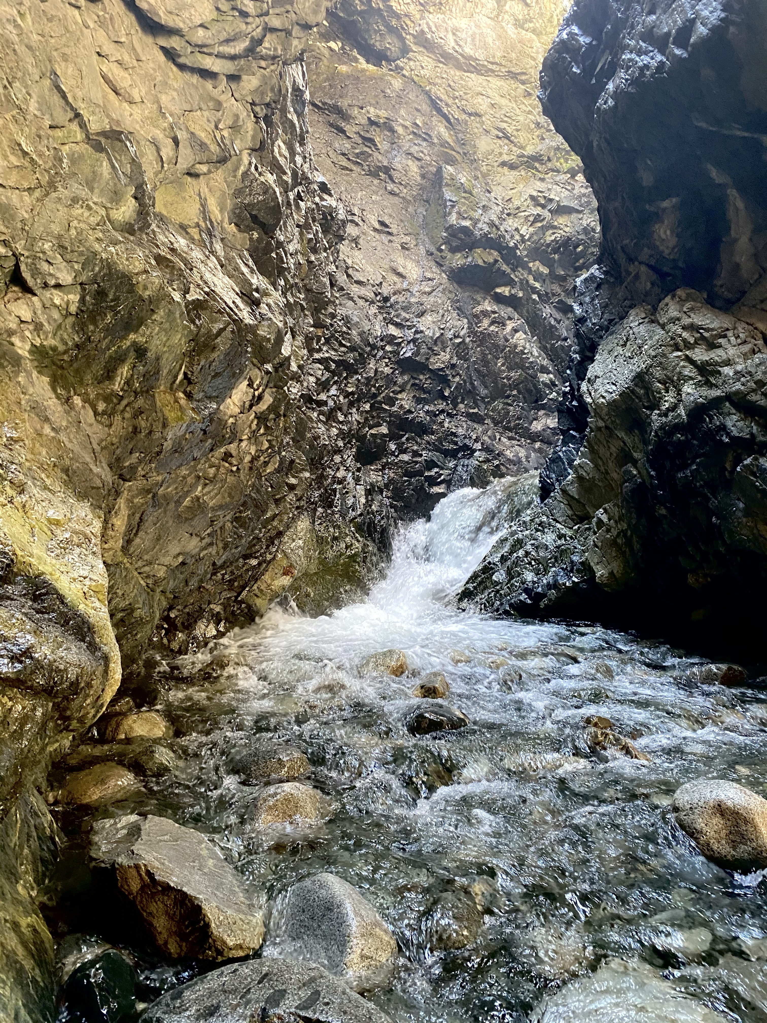
First, after leaving Great Sand Dunes, I went just a few miles down the road to Zapata Falls. Natasha, my friend from Guadalupe Peak in Texas, had recommended the short and rewarding hike. Although when she visited a month ago, the water was still partially frozen! That was not the case any longer.
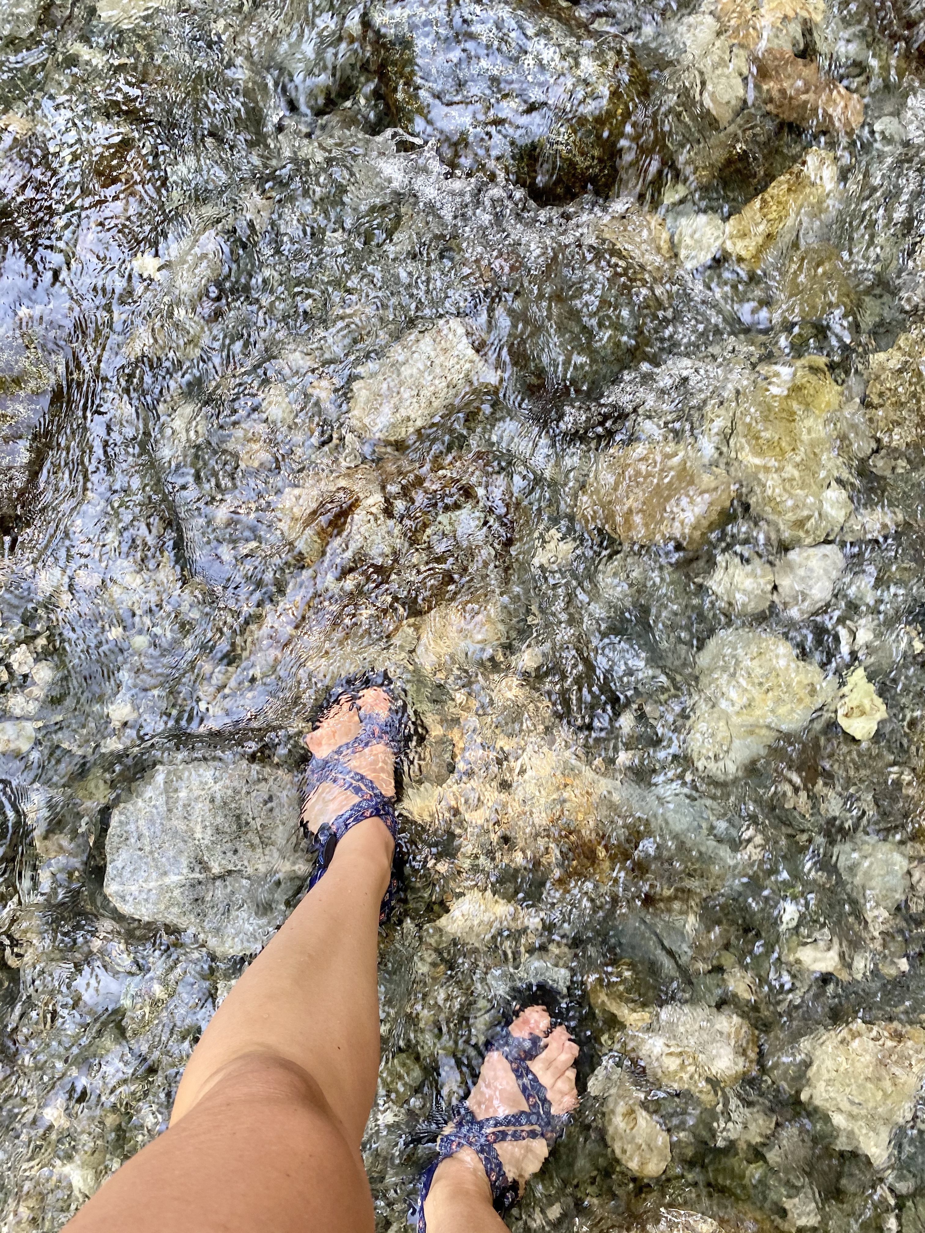
After a few slow miles down a bumpy dirt road, Sunny and I arrived at the trailhead. A short hike up dusty, path brought us to the stream flowing through the woods. Plenty of people were around, but most were figuring out how to get to the waterfall in their shoes. You see, to actually see Zapata Falls you need to hike up the stream and around the bend, into a small canyon. I came prepared with my Chacos and stepped right in. And while the water might not be frozen any more, it certainly still is icy cold! Brrrr.
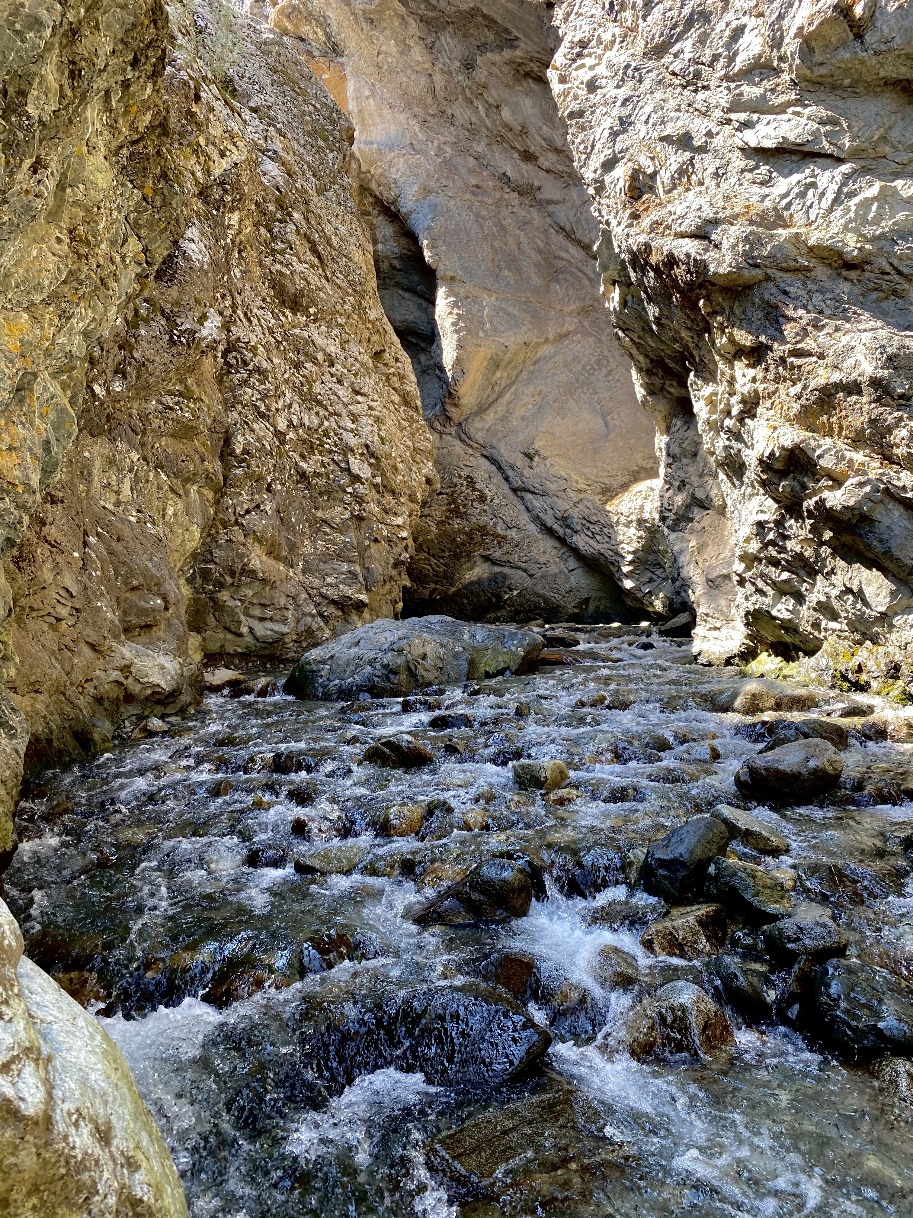
Carefully upstream I went, taking one step at a time to ensure my footing was solid. The current was brisk, but not dangerous. The rock wall provided good support as I went.
As I approached, the first part of the fall came rushing toward me. White water bubbling over rocks and running away downstream. At this point I was all alone to admire the power of the water. Then a little further ahead and I could see the source of the roaring sound. Zapata Falls fell from above, crashing down into the canyon, misting me as I stood in its flow. I stayed long enough to enjoy, to relish the moment, and then headed back before I was crowded in and couldn’t feel my feet!
Back at the path, I sat to warm my feet in the sun, red and cold from the water. Then a snack and we were on our way back. I stopped to talk to a solo traveler from New Hampshire for a bit, a lovely surprise, and continued back to the van. From there I packed up and headed out for the first leg of my journey east.
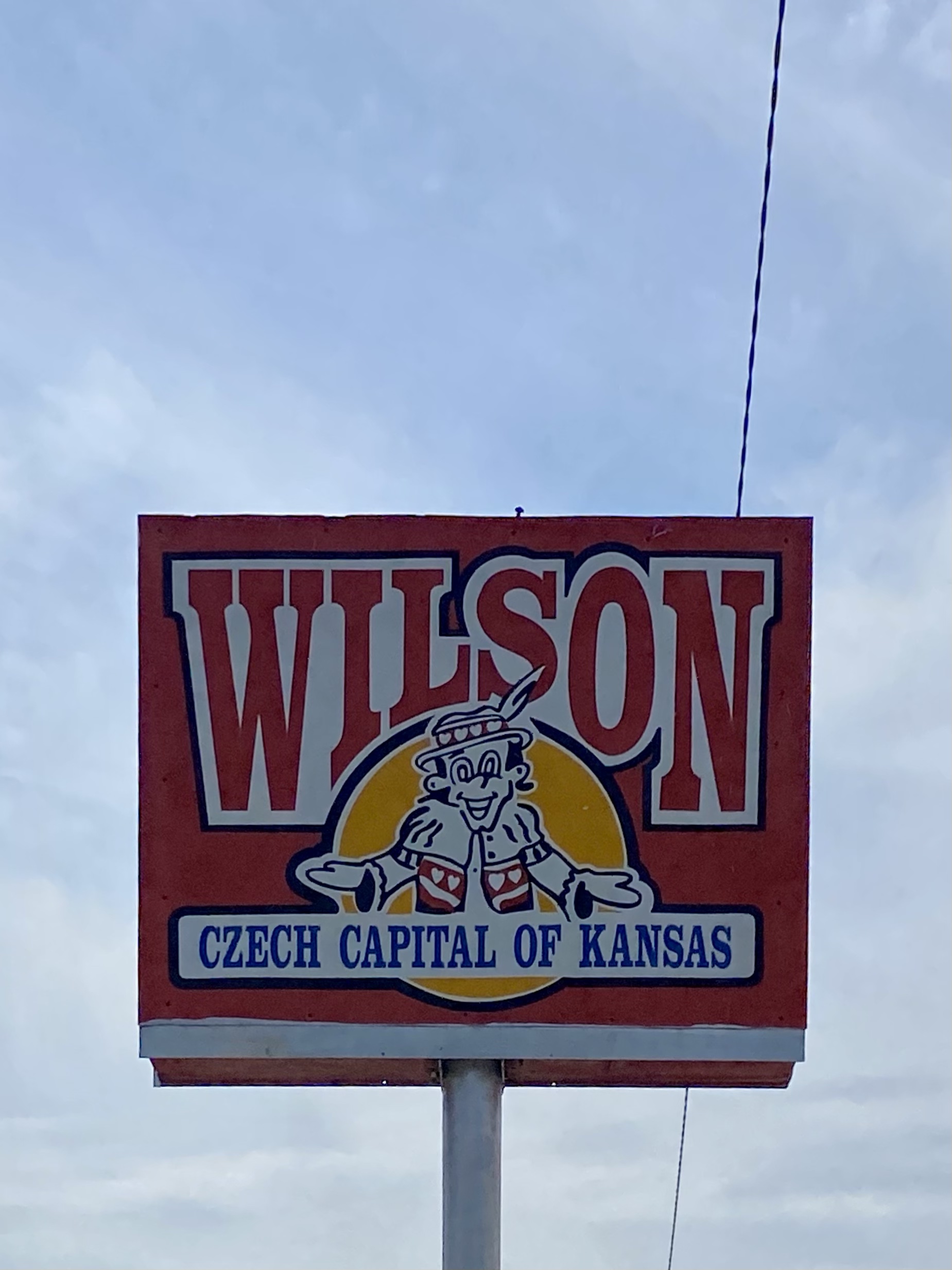
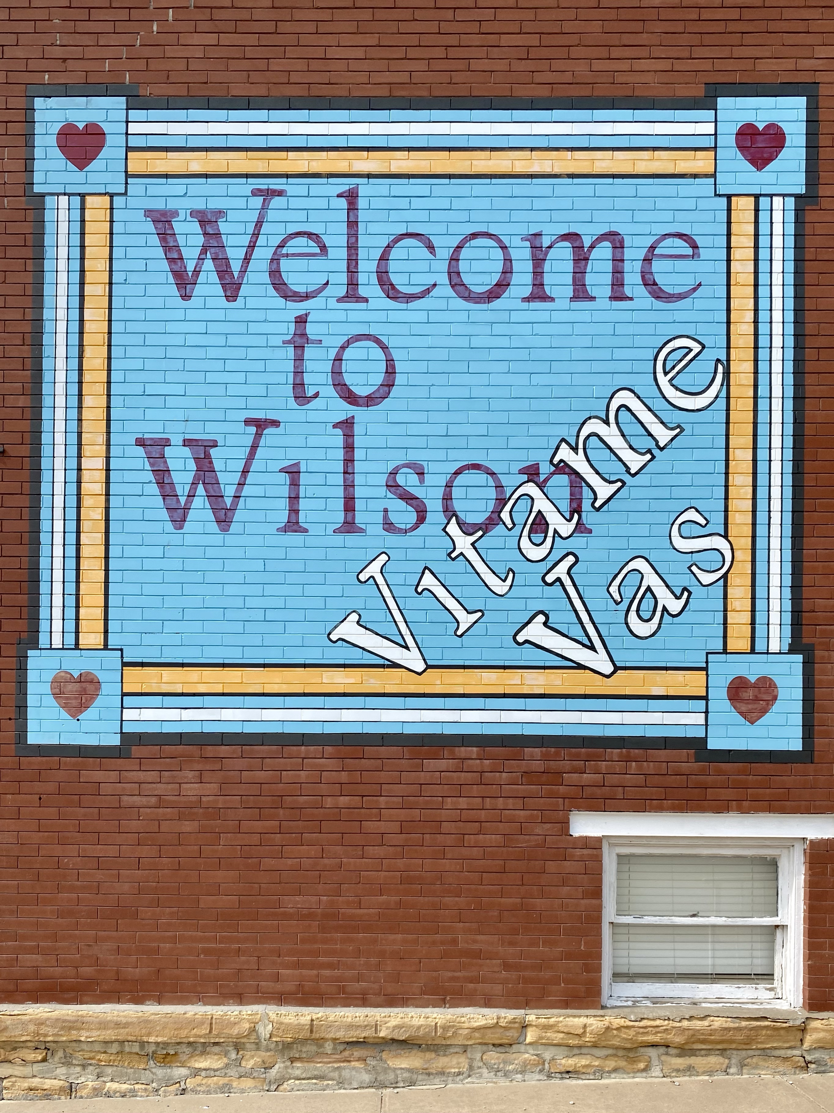
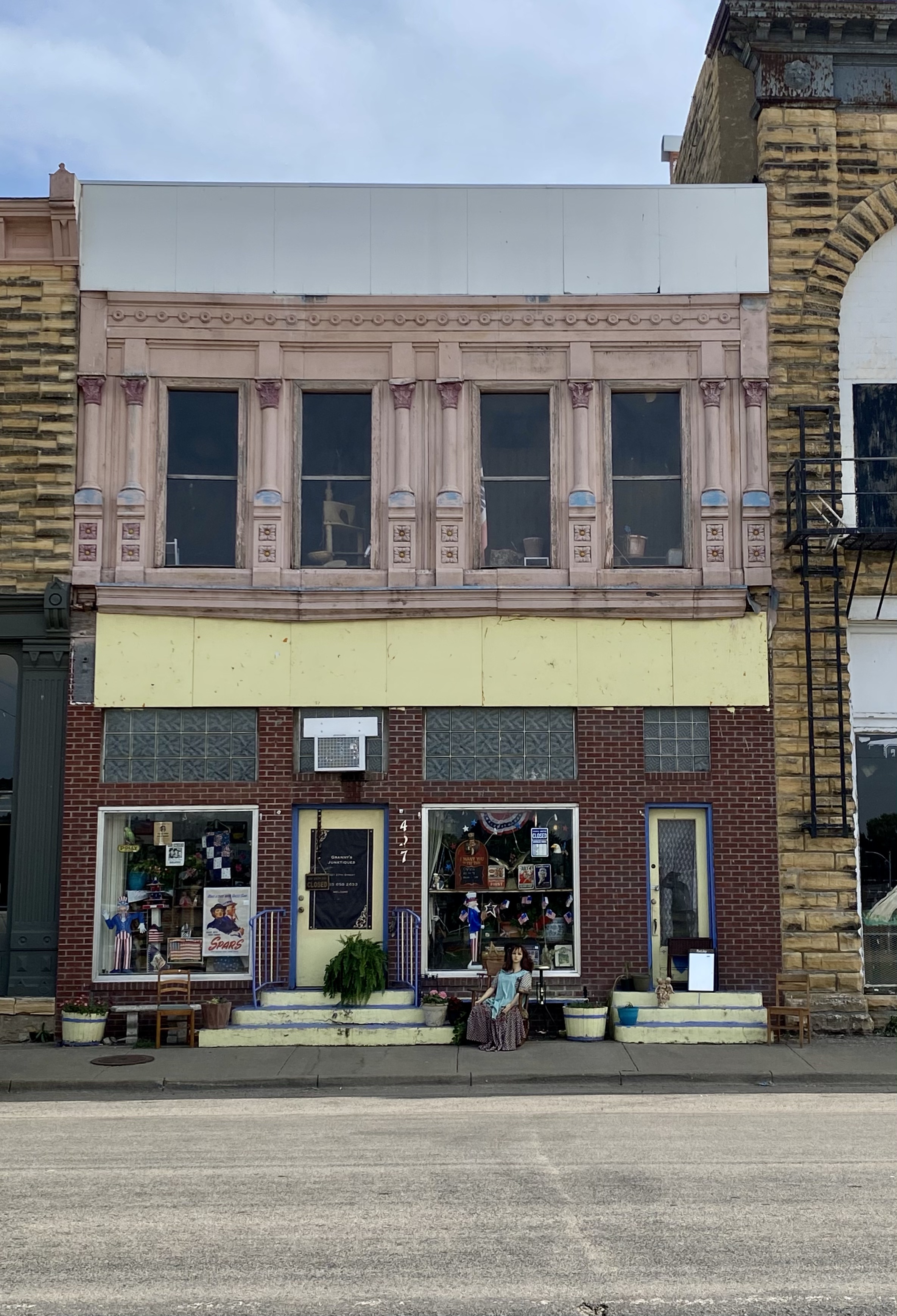
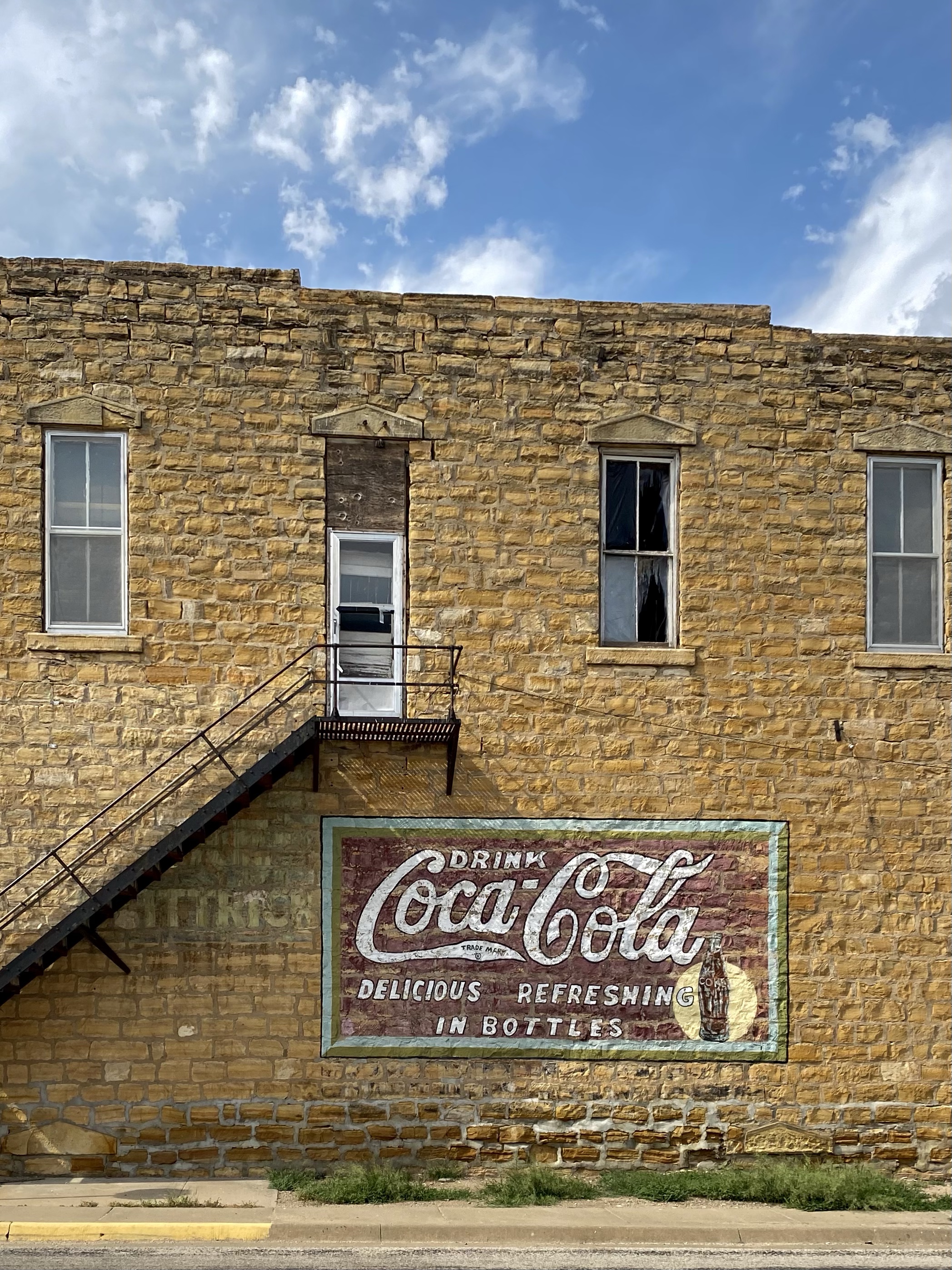
The next day I crossed the state line into Kansas, and continued east. Most of the day was consumed with driving, but before hitting my campsite on the lake, I pulled into Wilson. It wasn’t a planned detour, and not too long ago I probably wouldn’t have given myself permission to stop, but I’ve grown and today I stopped. I’m pretty glad I did!
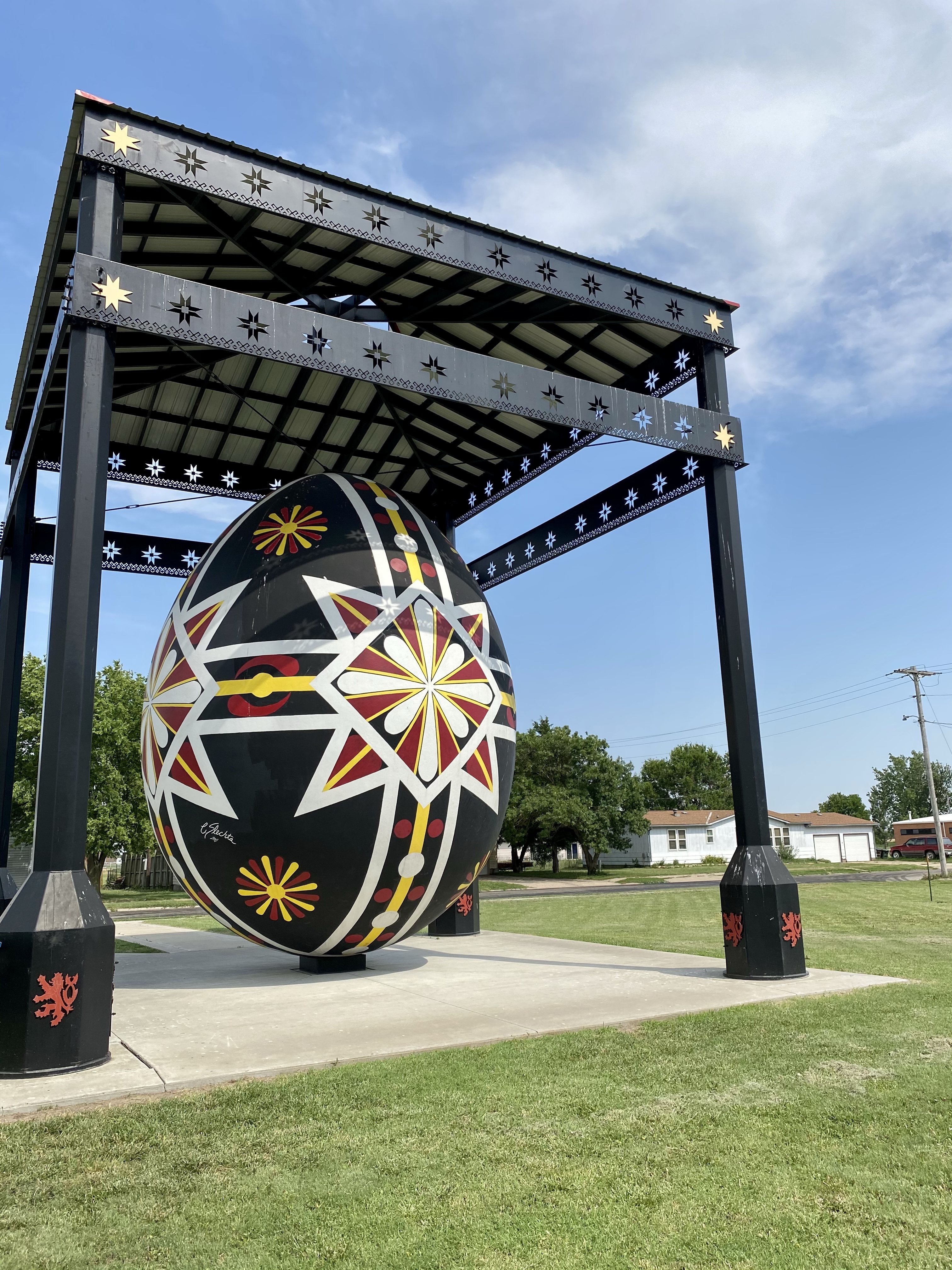
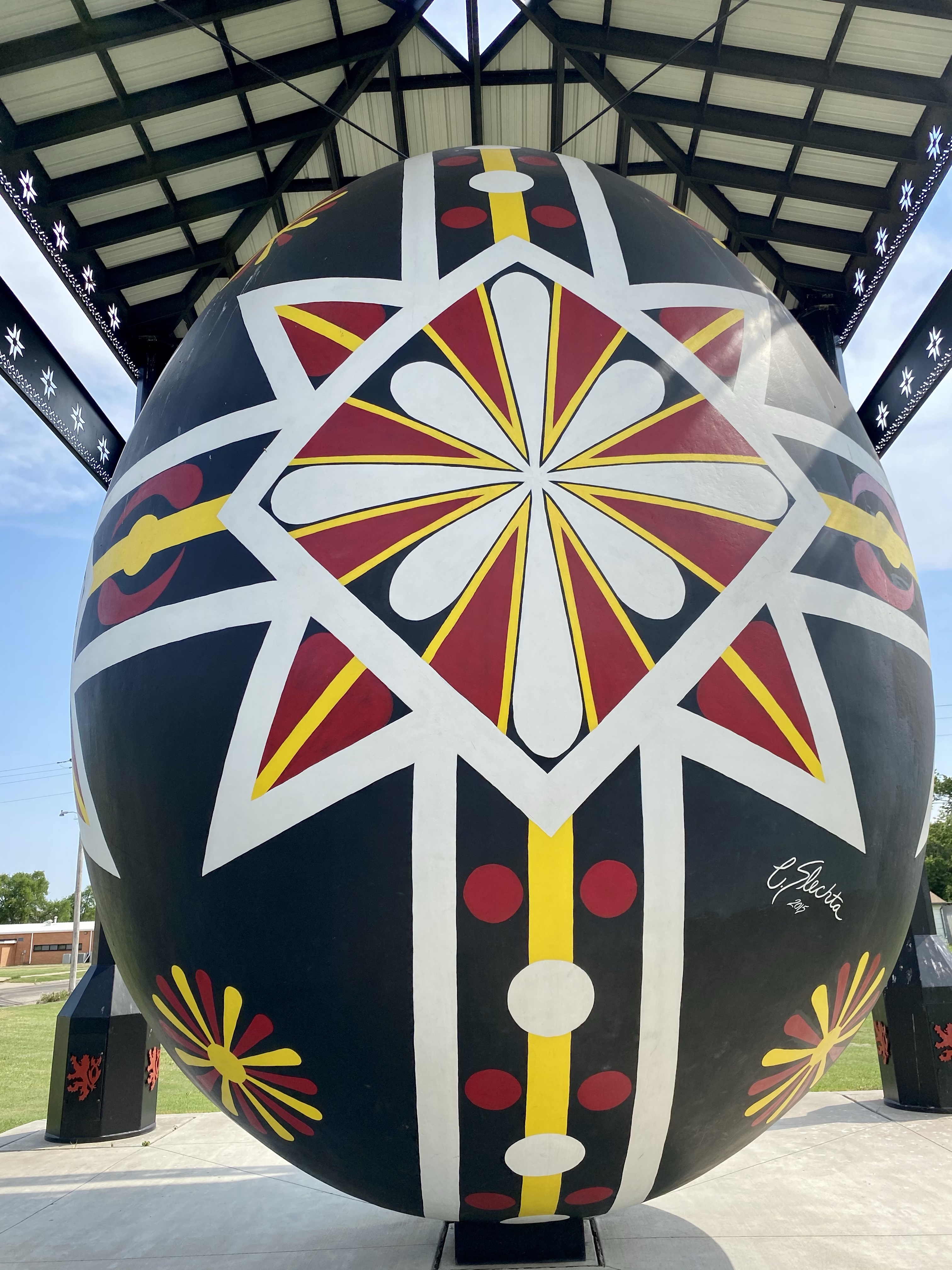
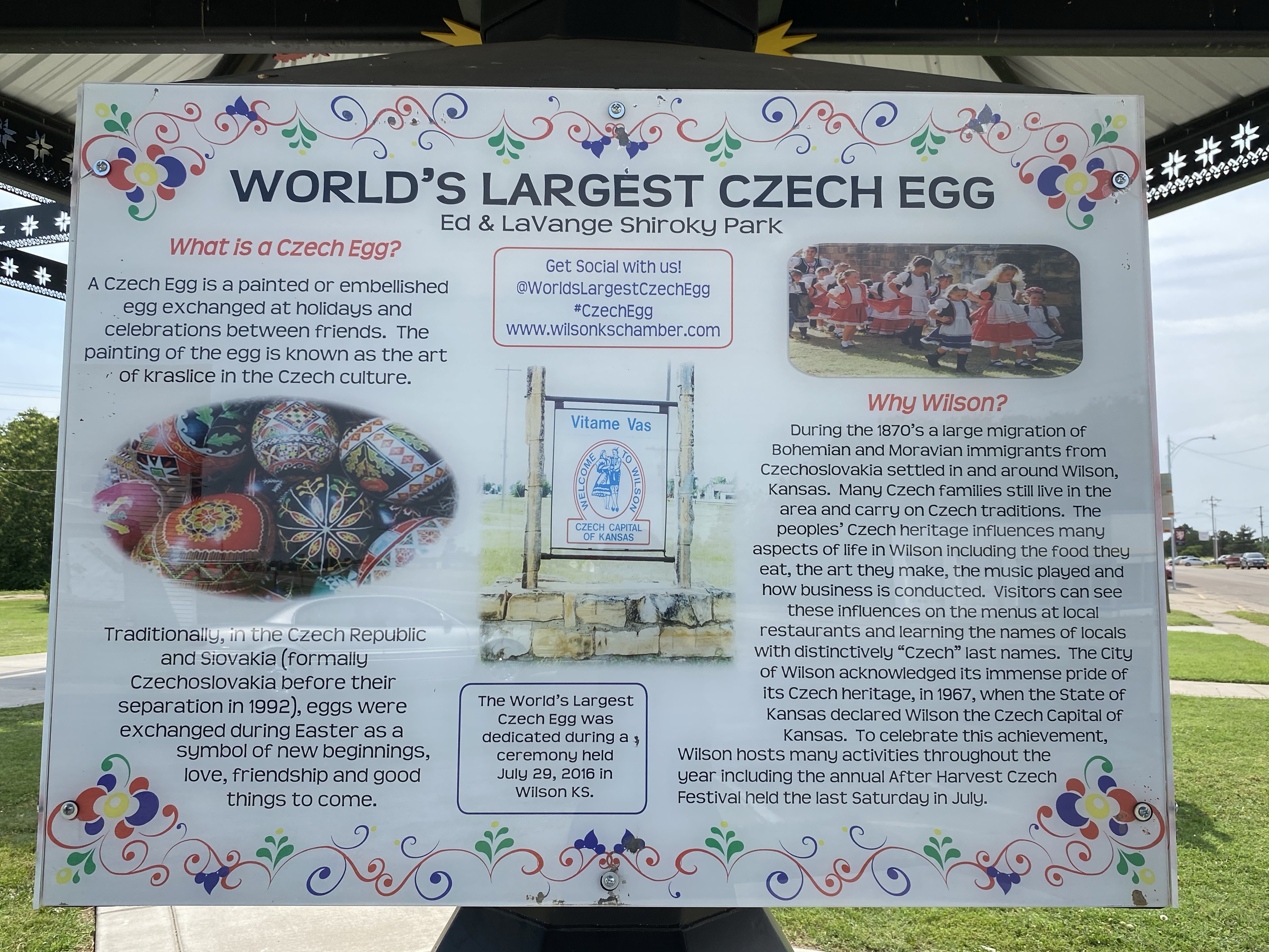
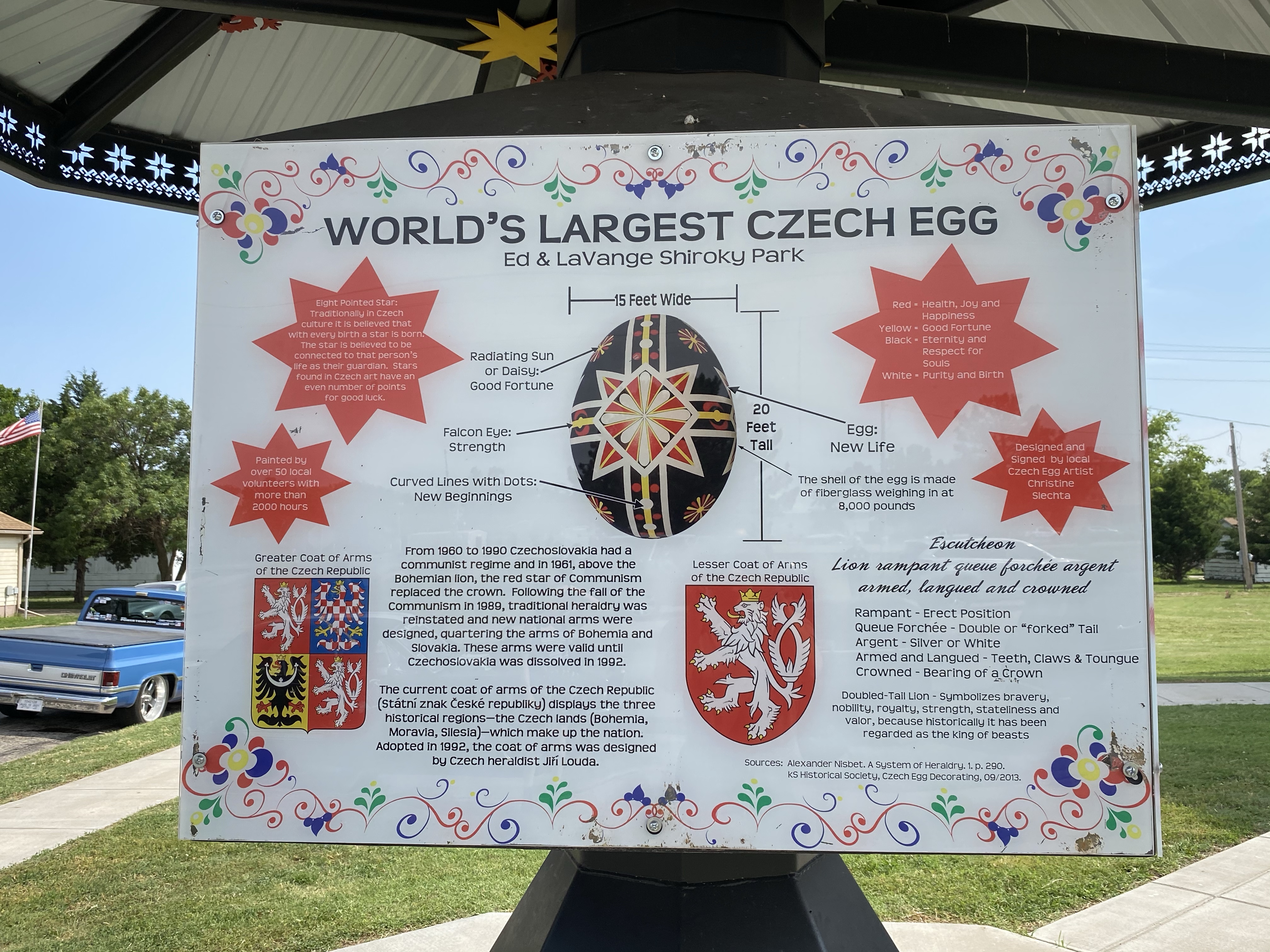
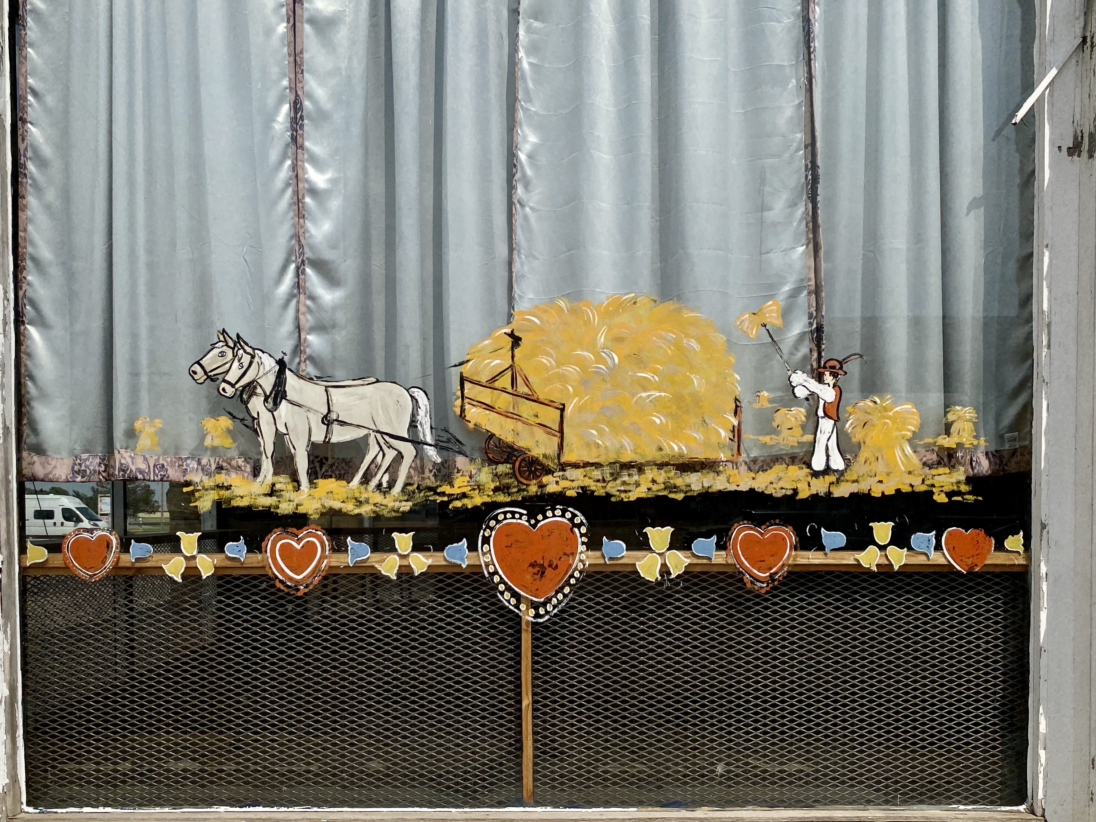
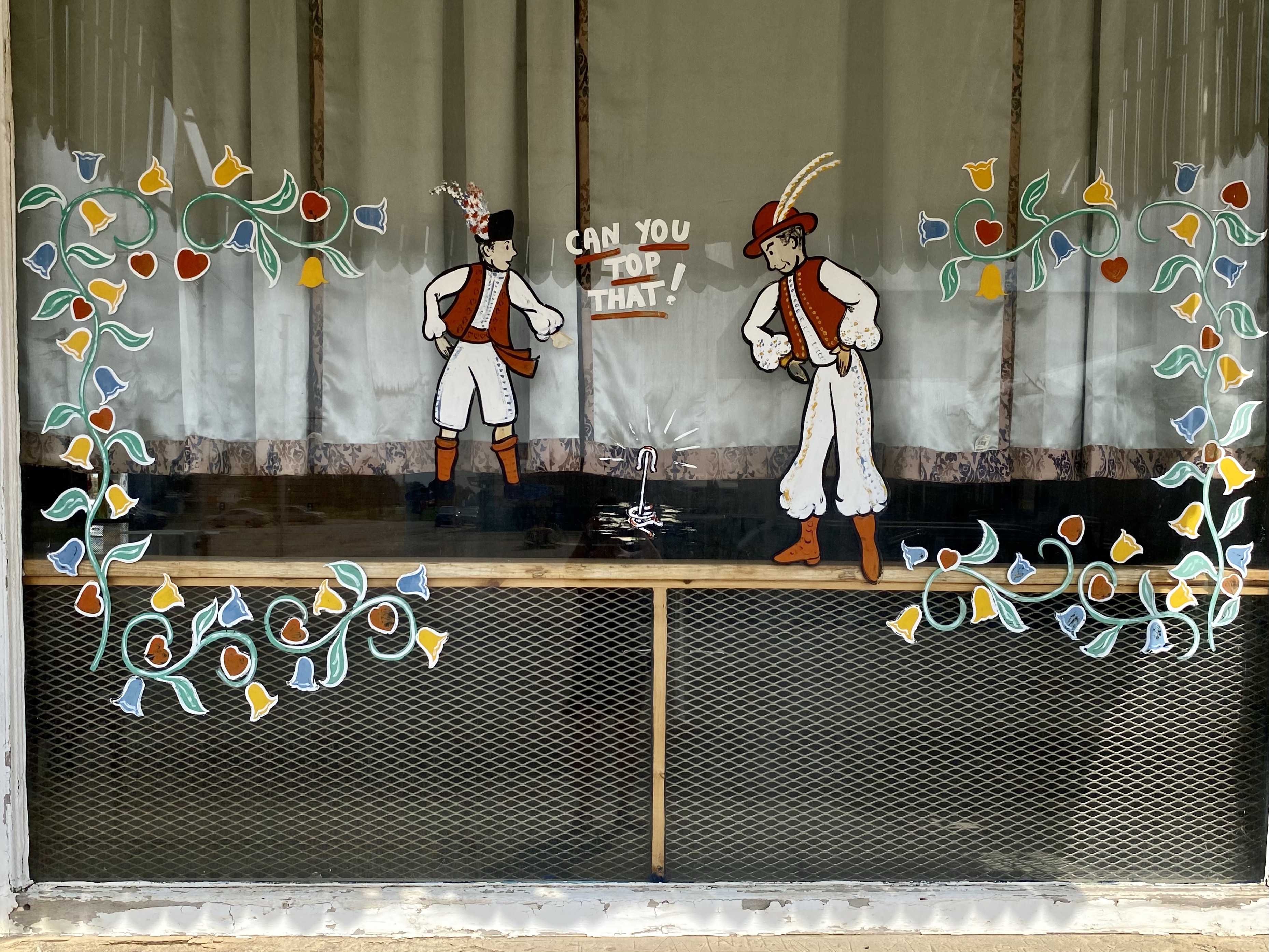
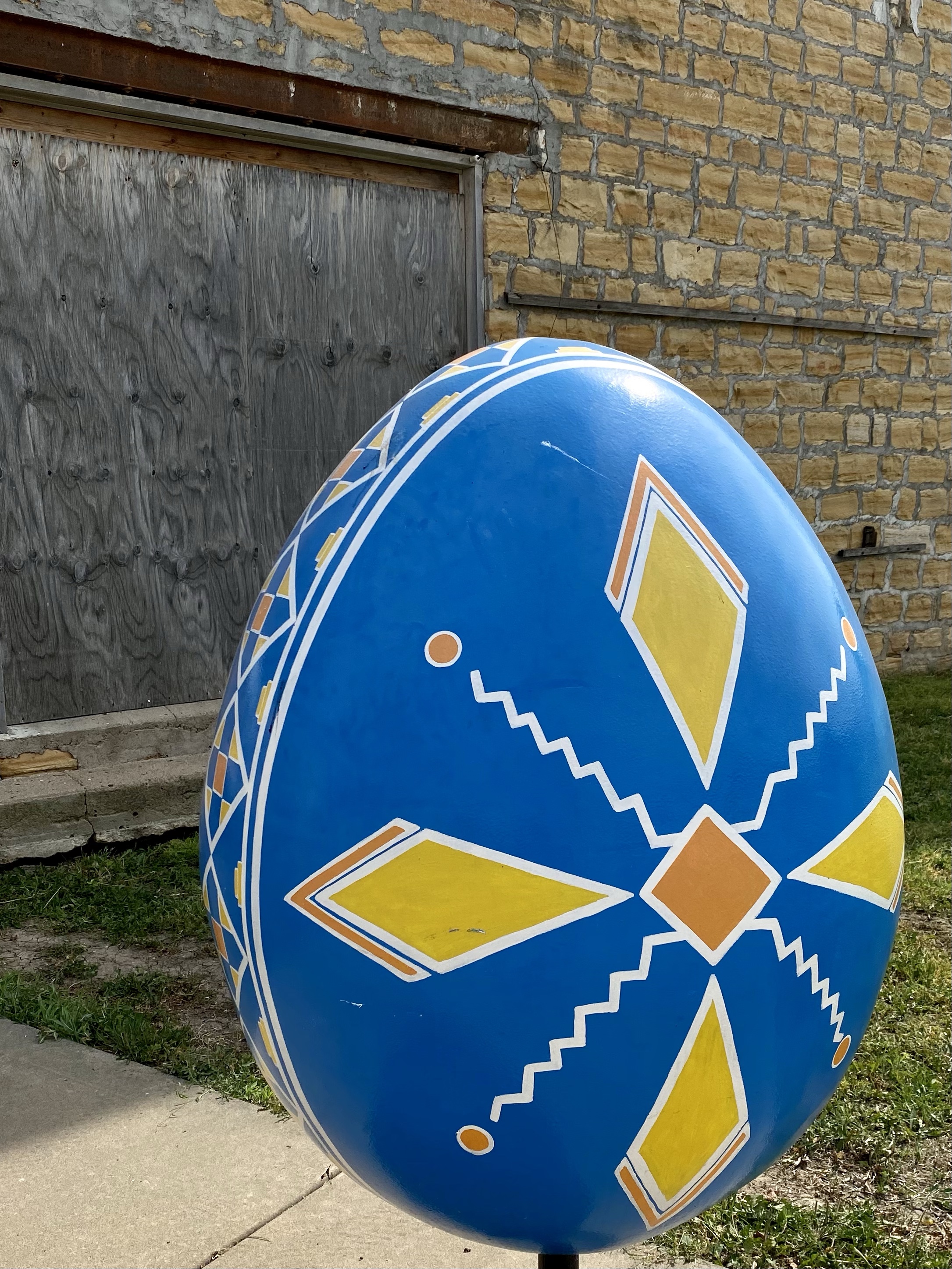
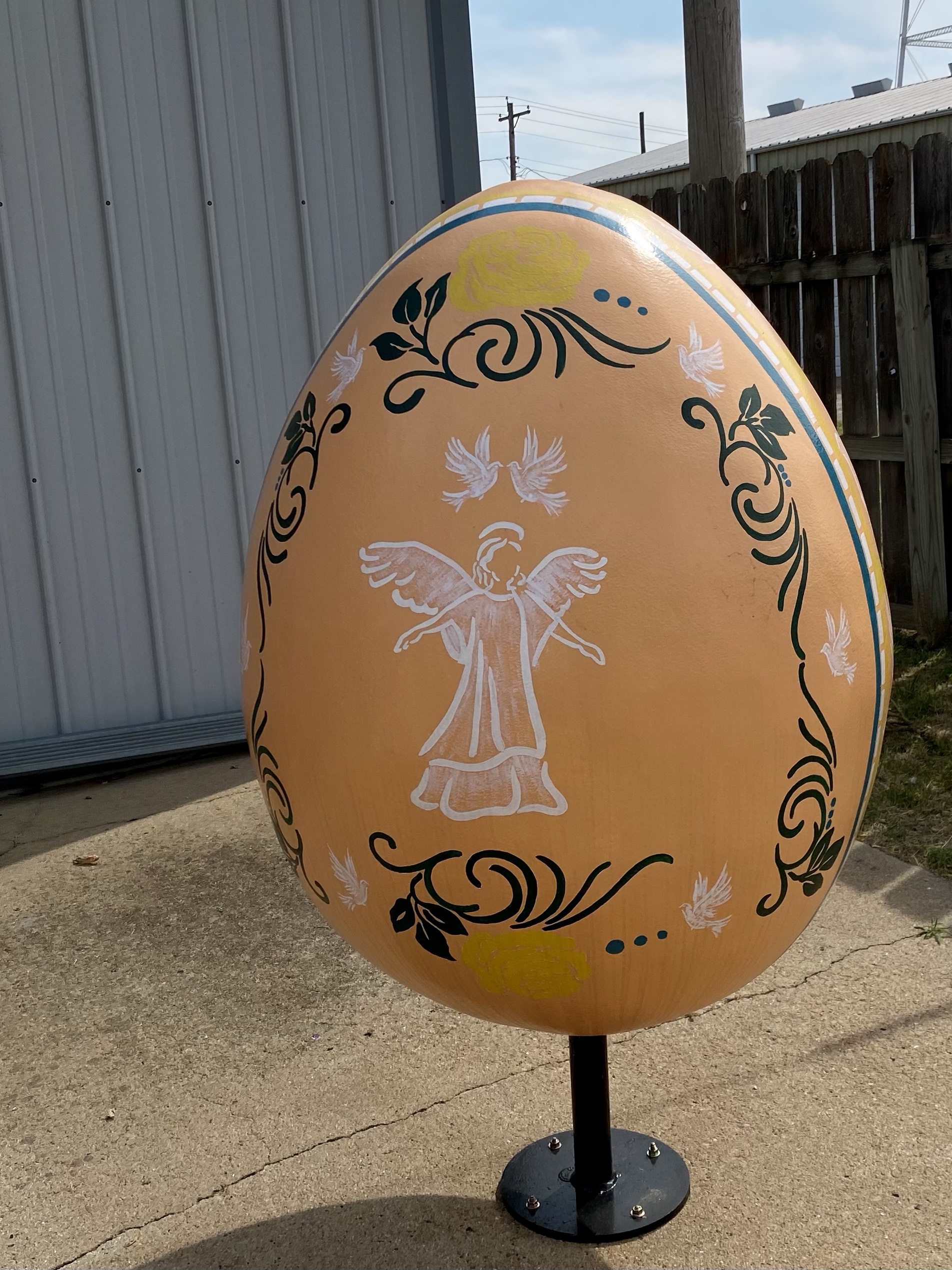
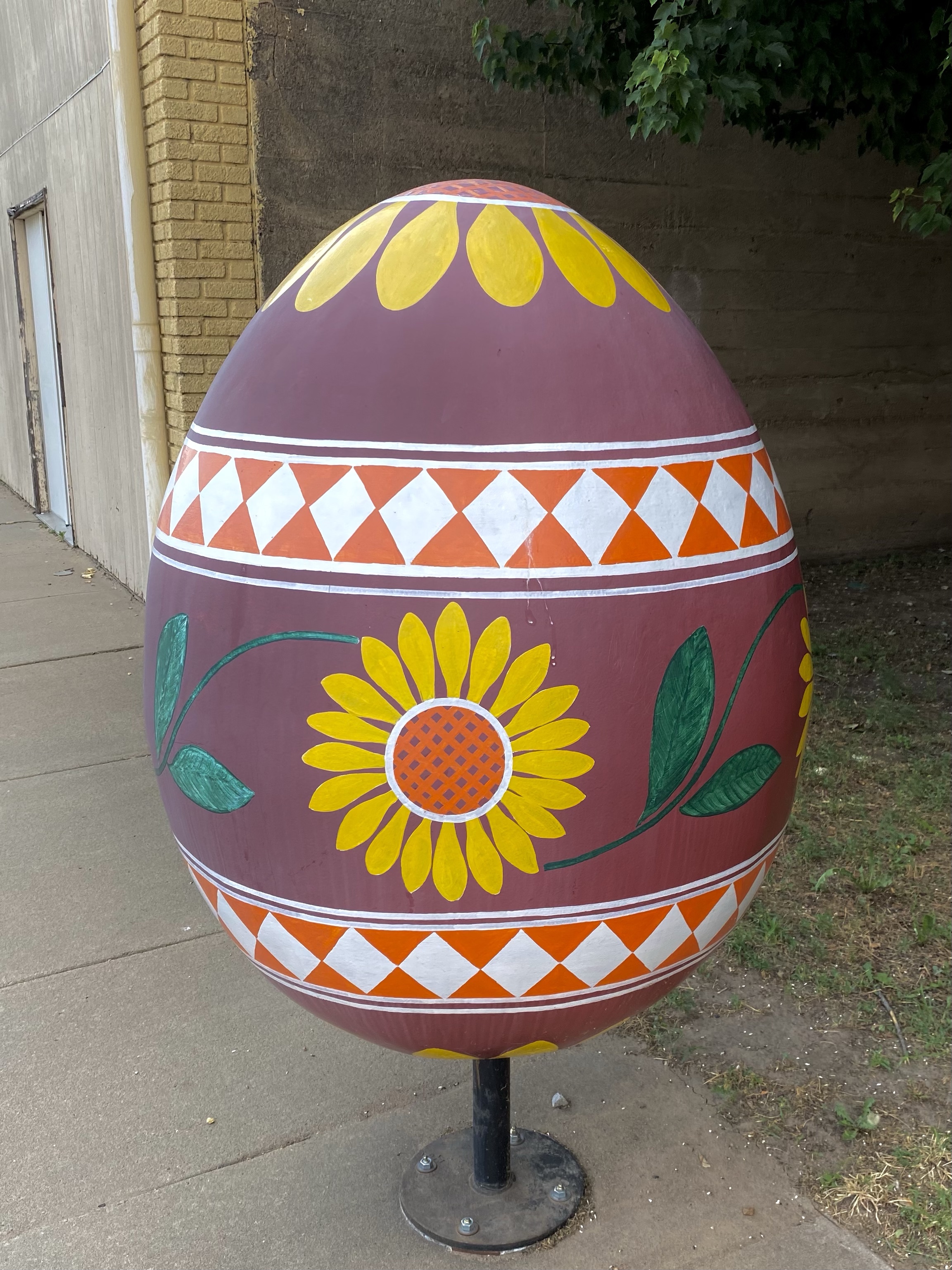
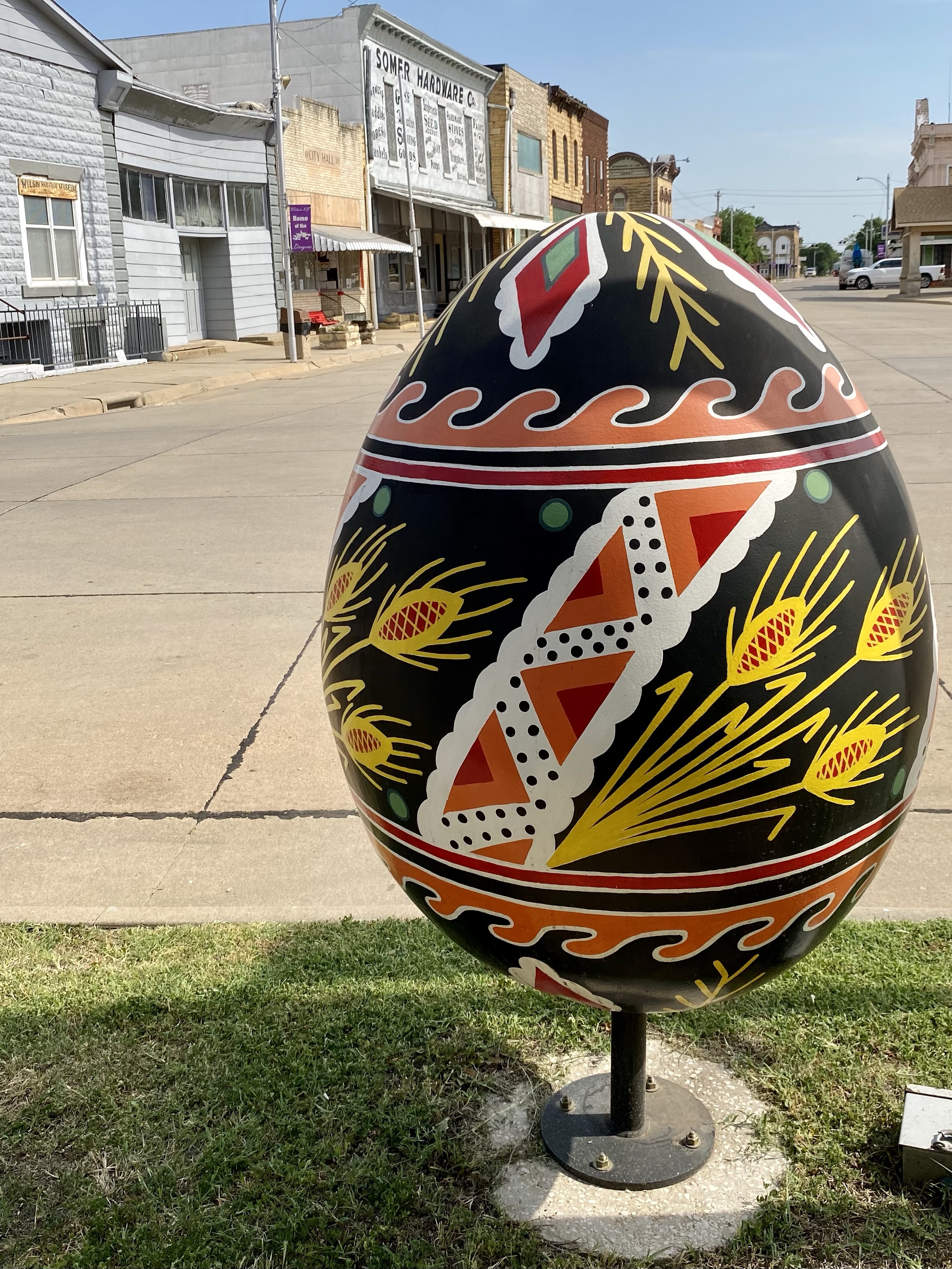
Wilson, KS is somewhat of a ghost town today, but it was once home to a large population of Czech immigrants. Considered the “Czech Capital of Kansas”, people began migrating here in 1871 as the area was near the Pacific Railway and had good land for farming and good stone for building. Many relatives of these immigrants live in the area today and continue the Czech traditions and culture the area is known for. Each year there is an After Harvest Czech Festival and in near the old opera house is the World’s Largest Czech Egg! This is what initially drew me to the area.
The egg is 20 feet tall and 15 feet wide, painted with traditional colors and symbols. Each have a distinct meaning and importance in Czech culture. You can read about the below!
I wandered around the town a bit, checking out smaller painted eggs on the street corners and spotted examples of Czech influenced architecture. It was a very quiet main street, just a single restaurant open and one gift shop. A heritage museum was in the corner, but not open. Maybe another time!
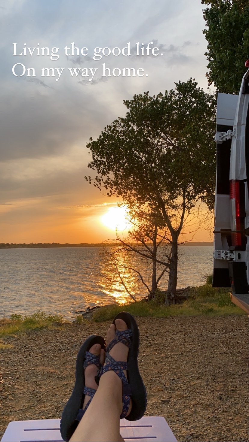
That night I slept nearby on a lake, enjoying the view and sunset. It was an incredibly windy night, the van rocking a bit, but we made it through. The following morning I enjoyed a run around the nature path while I chatted on the phone with a friend. Yay for full cell phone service!
Then back on the road! Sunny got a wash, vacuum, and new windshield wipers in preparation for the arrival of my friend Kristi when I made it to the Great Smoky Mountains. We made a pit stop for ice cream thanks to a billboard ad, and landed in Missouri for the night.
Next up was a long drive, all the way to Kentucky! I stayed at a Harvest Host spot for the night, a quaint farm where I had the hillside all to myself. I stocked up on fruits and veggies at the farm stand and settled in to watch the fireflies as the sunset. It was still hot and sticky, but we were making it through. Tomorrow another national park before Great Smoky Mountains. Any guesses?
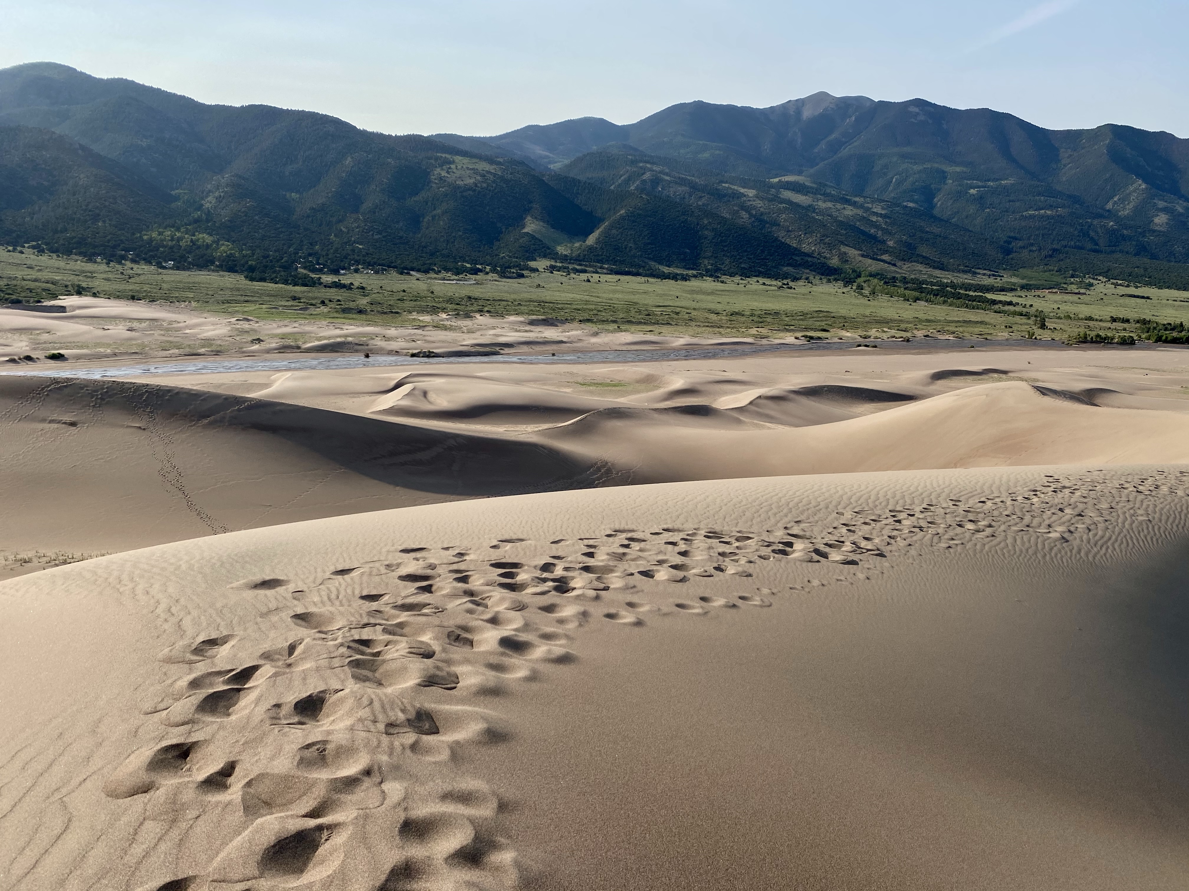
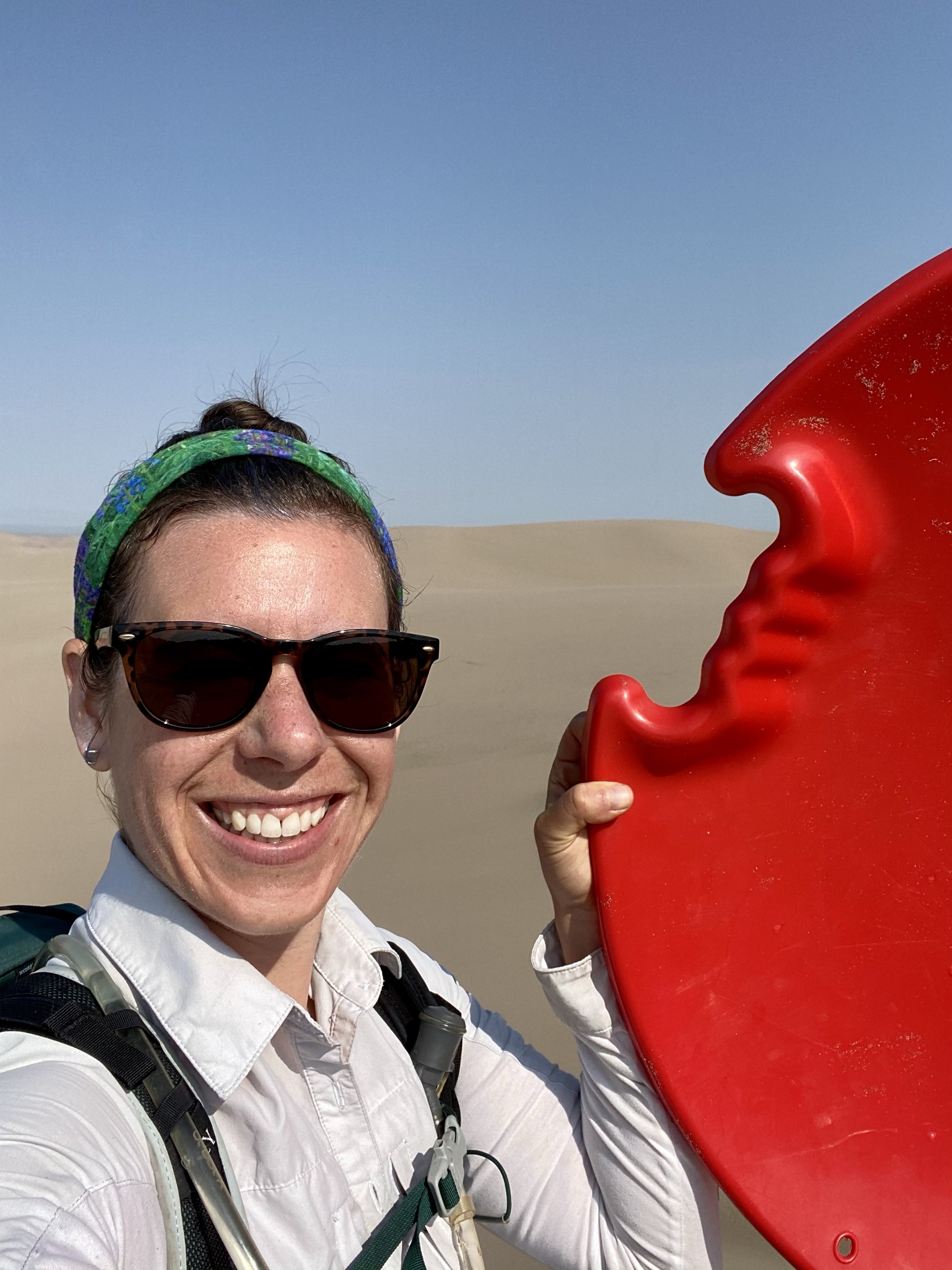
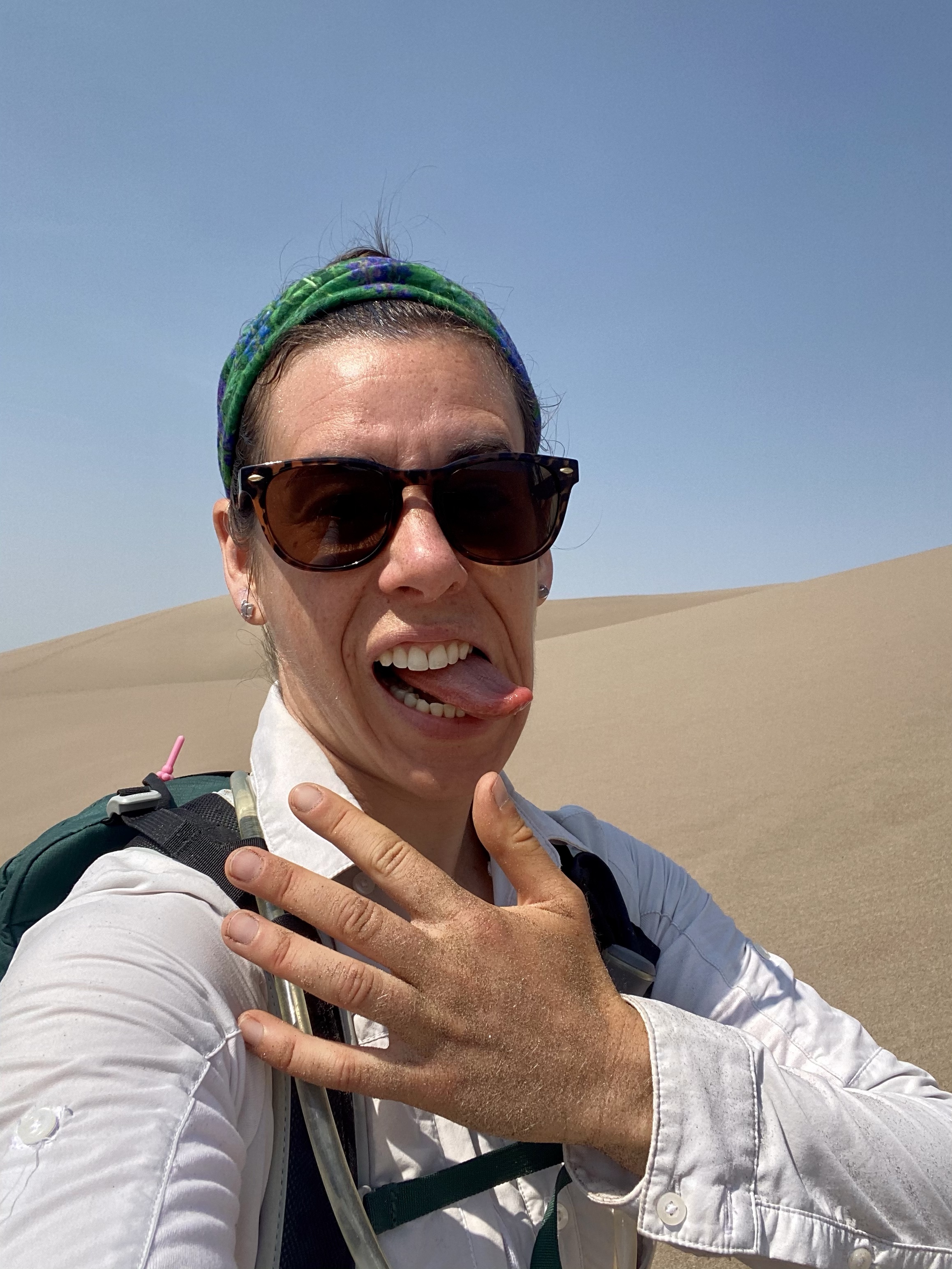
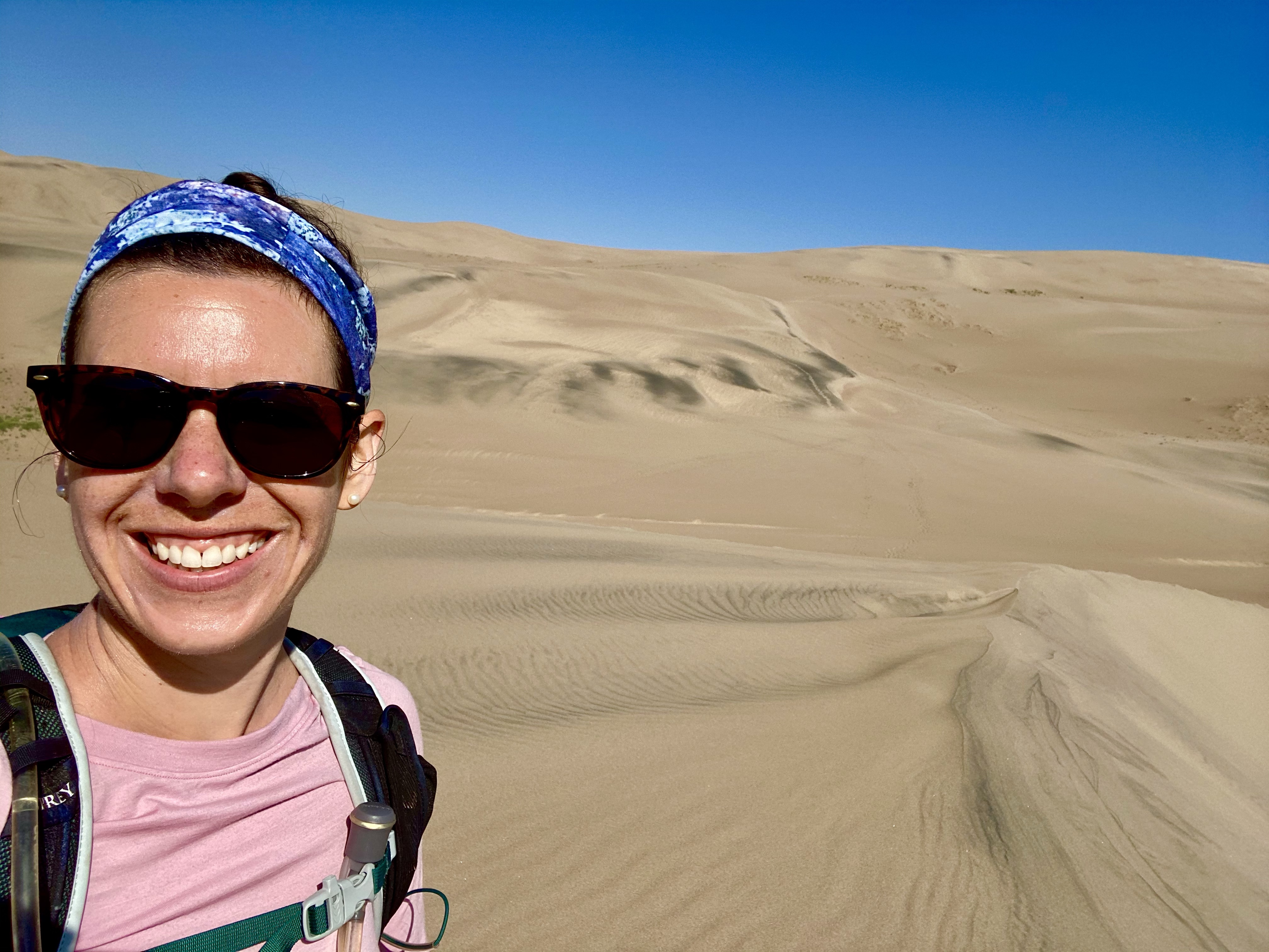
Day Two at The Great Sand Dunes was the day to hike up the sand mountains. I didn’t have any destination in mind, instead just wanted to see how far I could get. And make sure I had opportunities to sled back down! So with my bright red sled in hand, off I went.
This sled has been with with through three sand parks now. It’s first ride was a White Sands NP at the beginning of my trip when my new friendships were just beginning. Then it came to Coral Pink Sand Dunes SP, through the whipping wind and pelting sand, when I reconnected with Crystal. And now here, on the tan sand in Colorado as I begin my journey home. Maybe I’ll test it in the Vermont snow next?
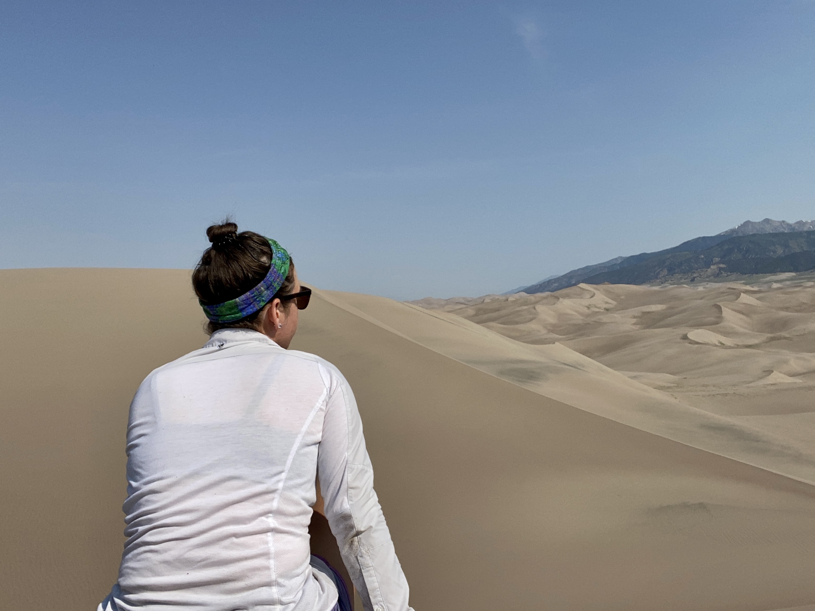
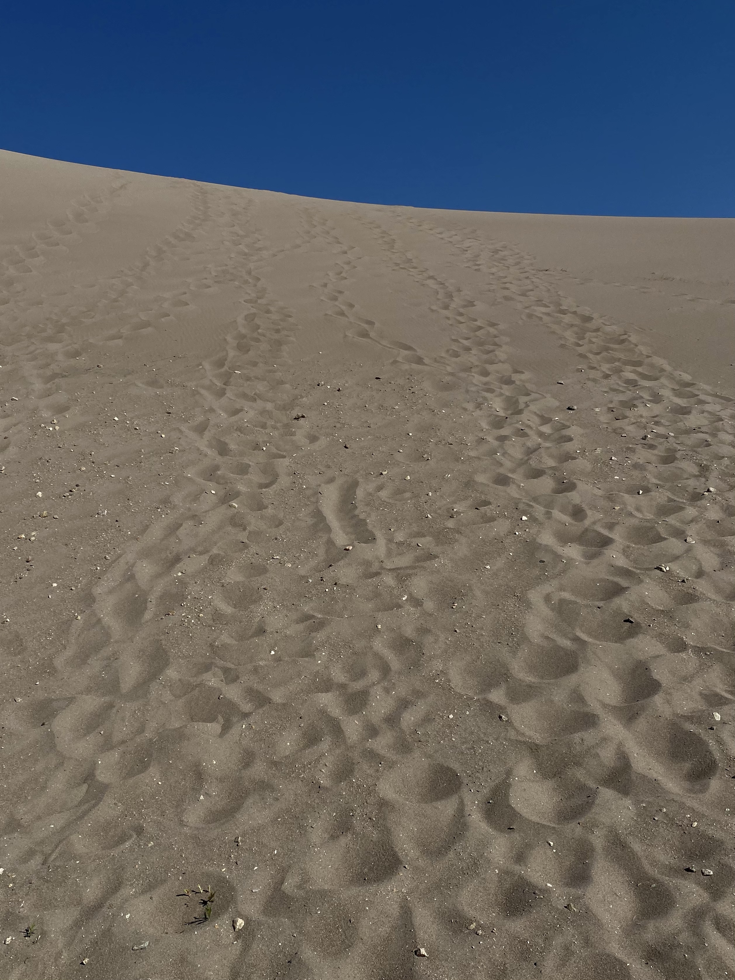
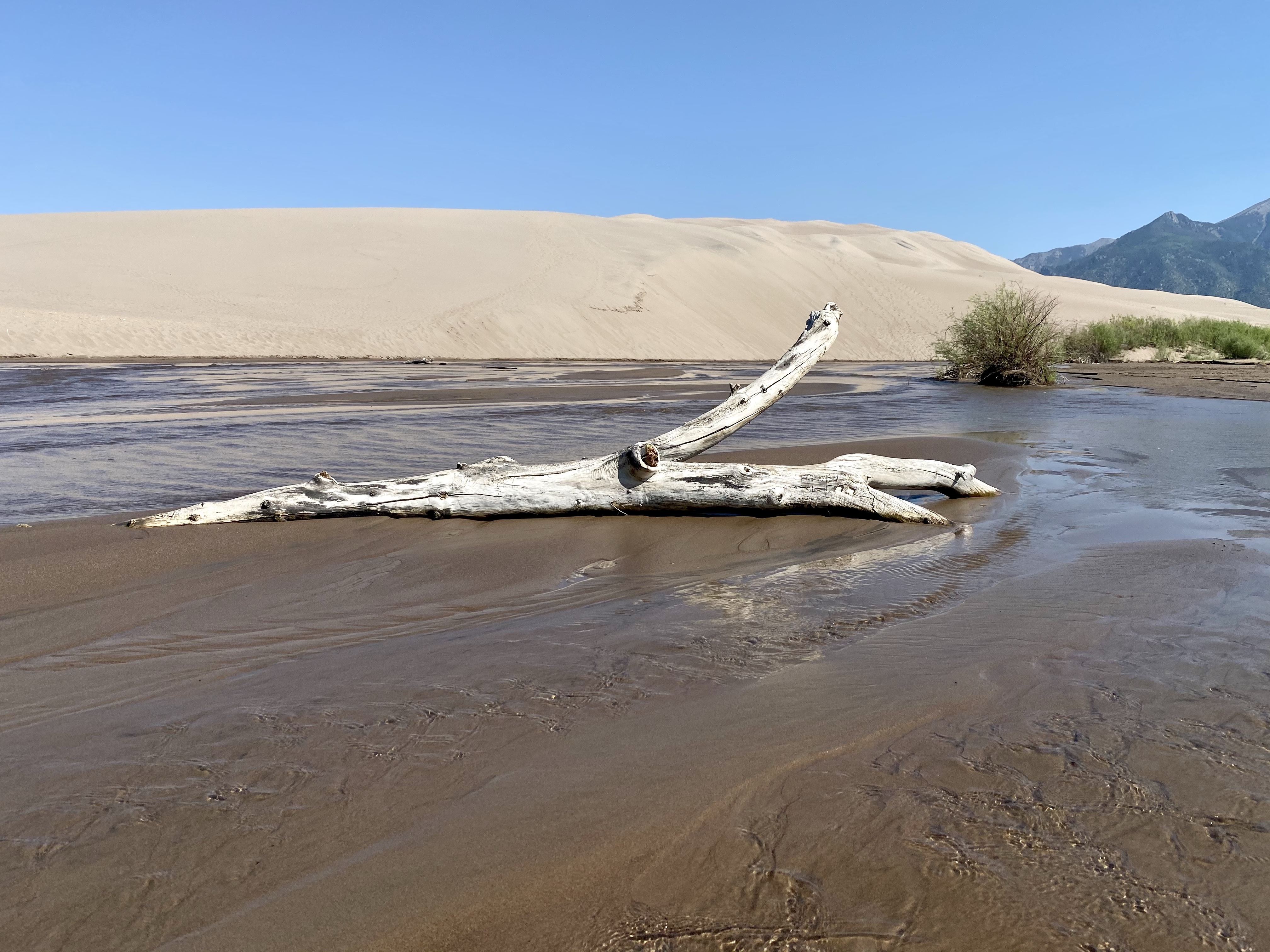
Through the campground and down to the creek we traveled, splashing through the shallow water flowing along. Then into the soft sand, scouting out a route. Each step in the soft sand was like two steps, it pushing and twisting under my feet. I had read that hiking the ridges would be easier, harder pack, so up I went. My sled acted like a nice hiking pole, helping me along.
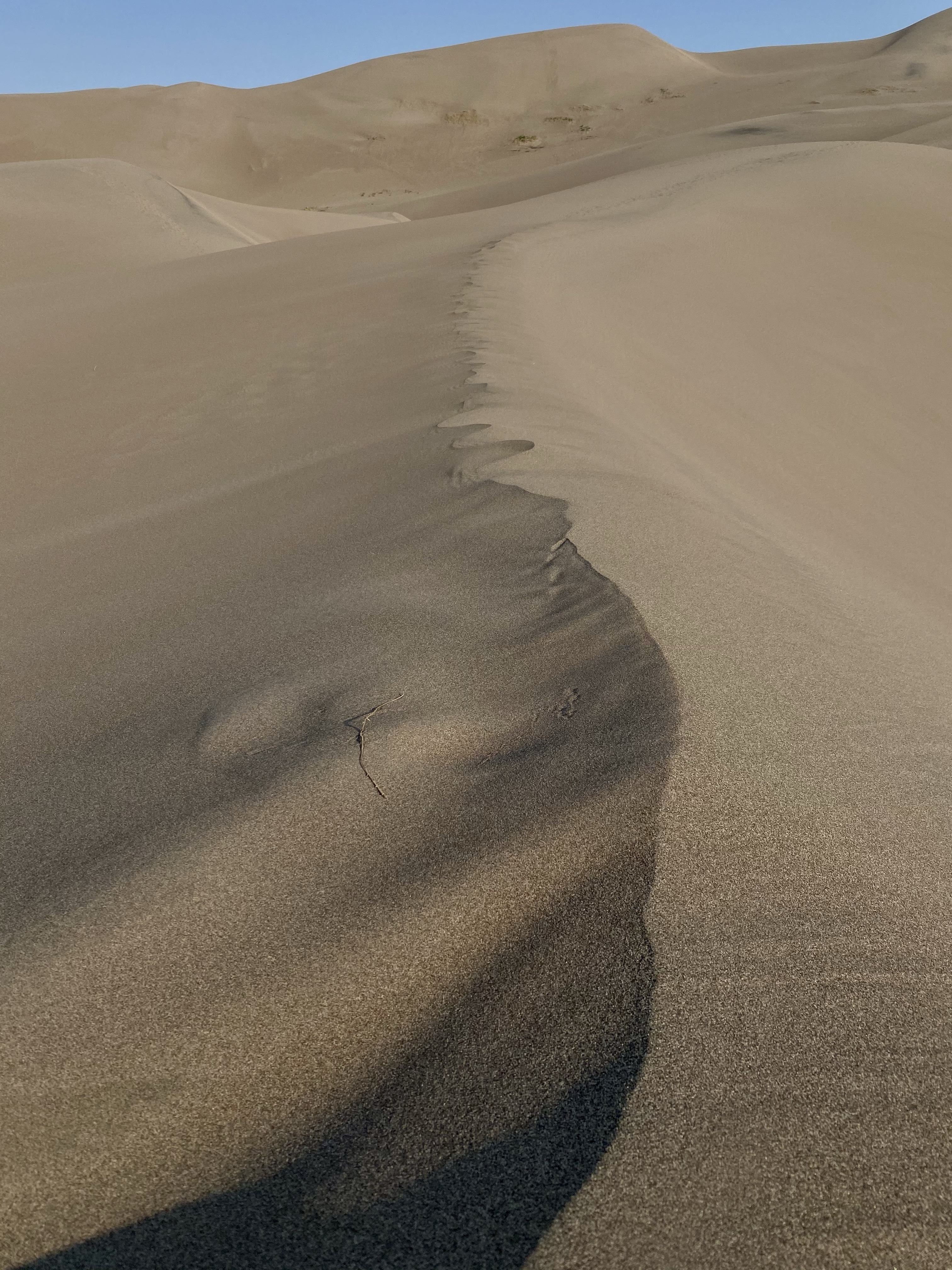
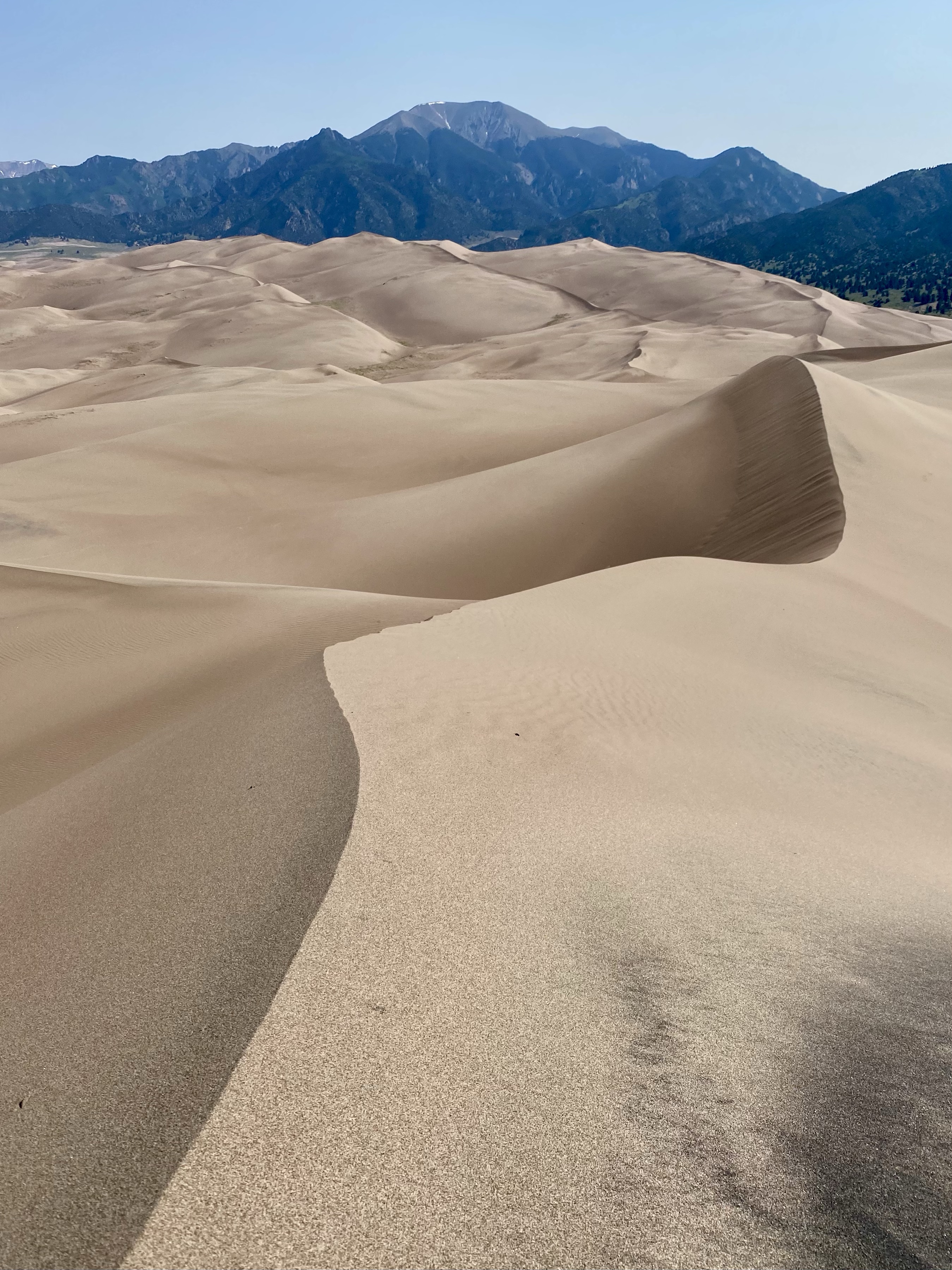
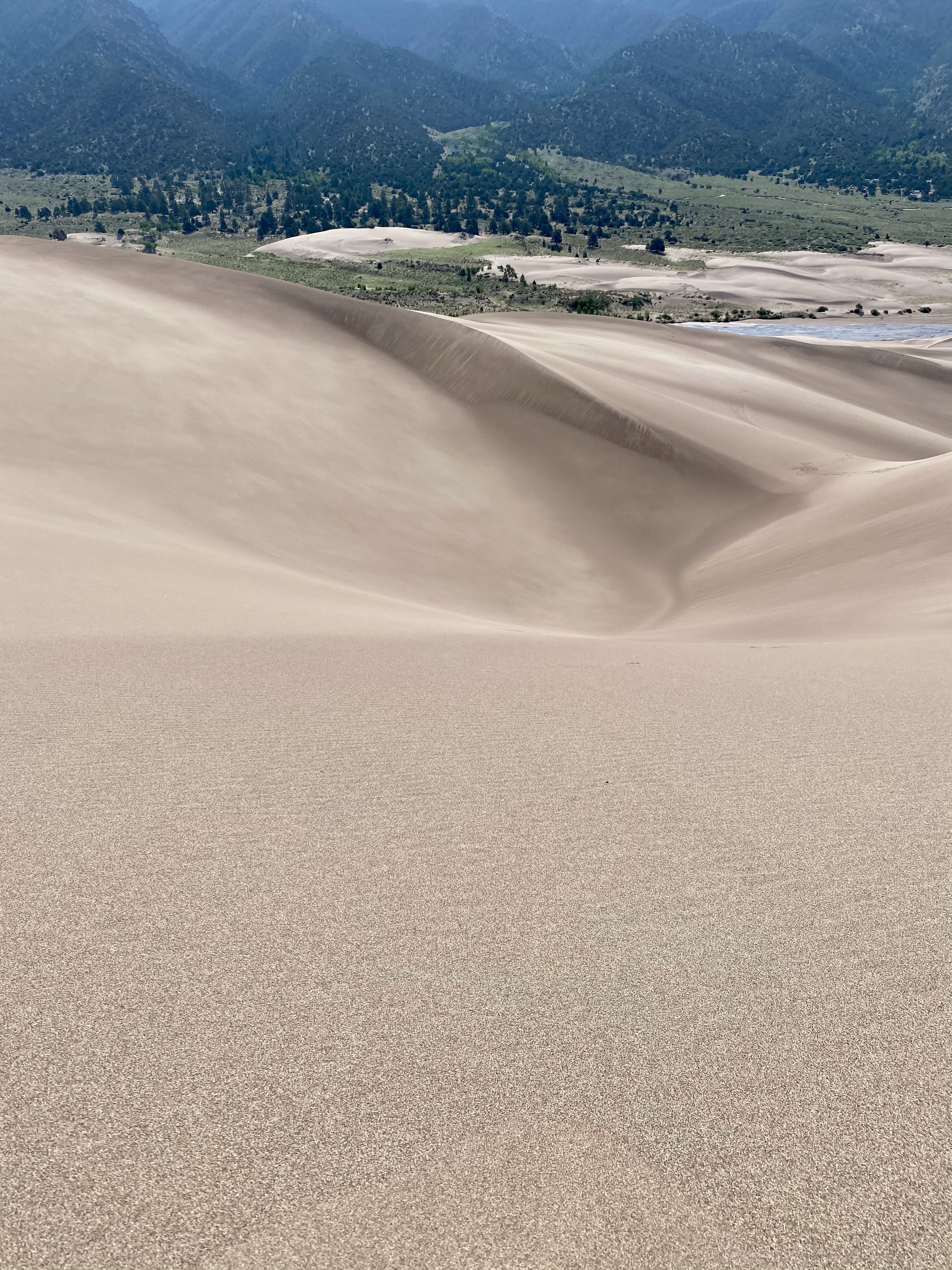
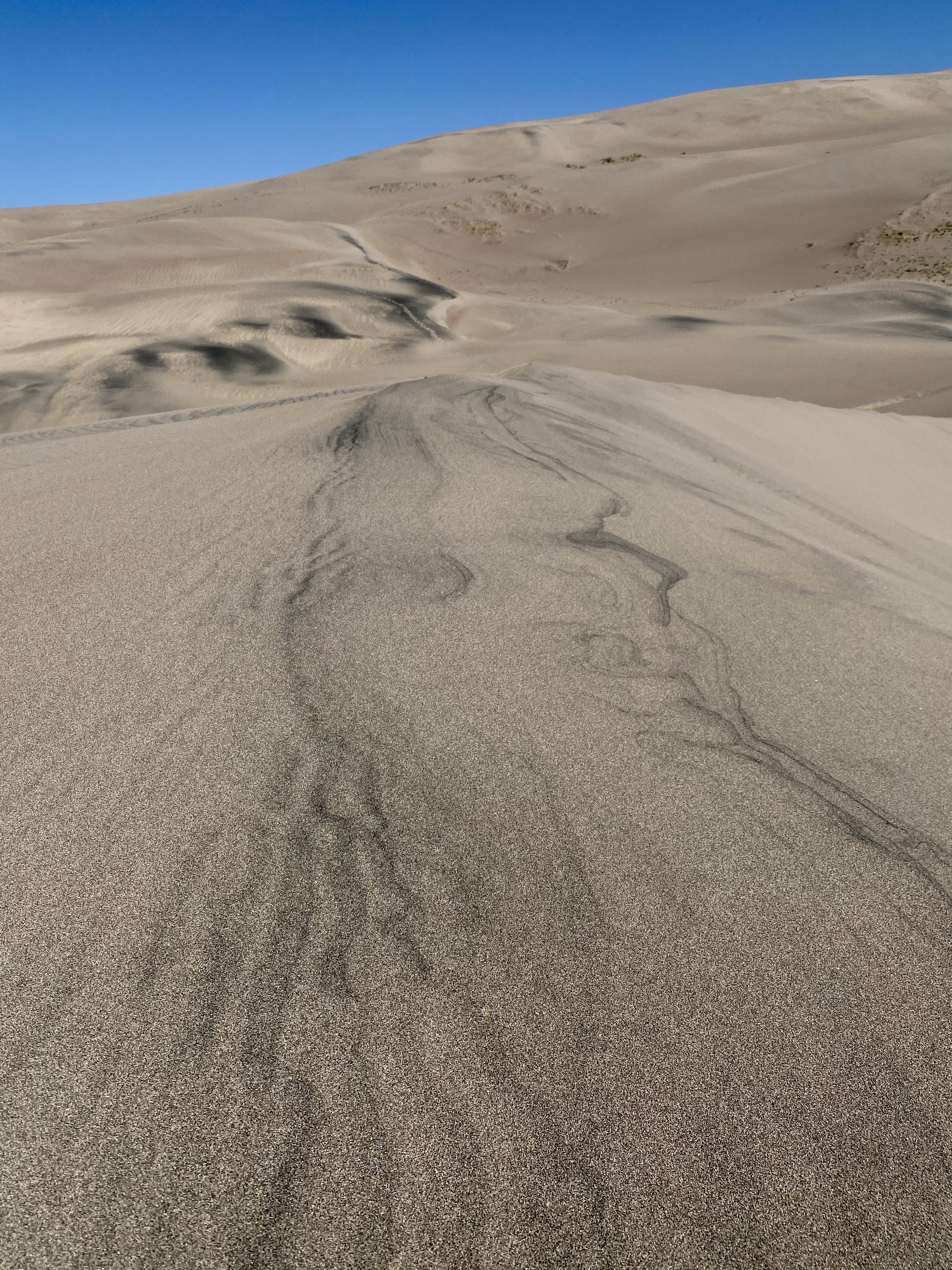
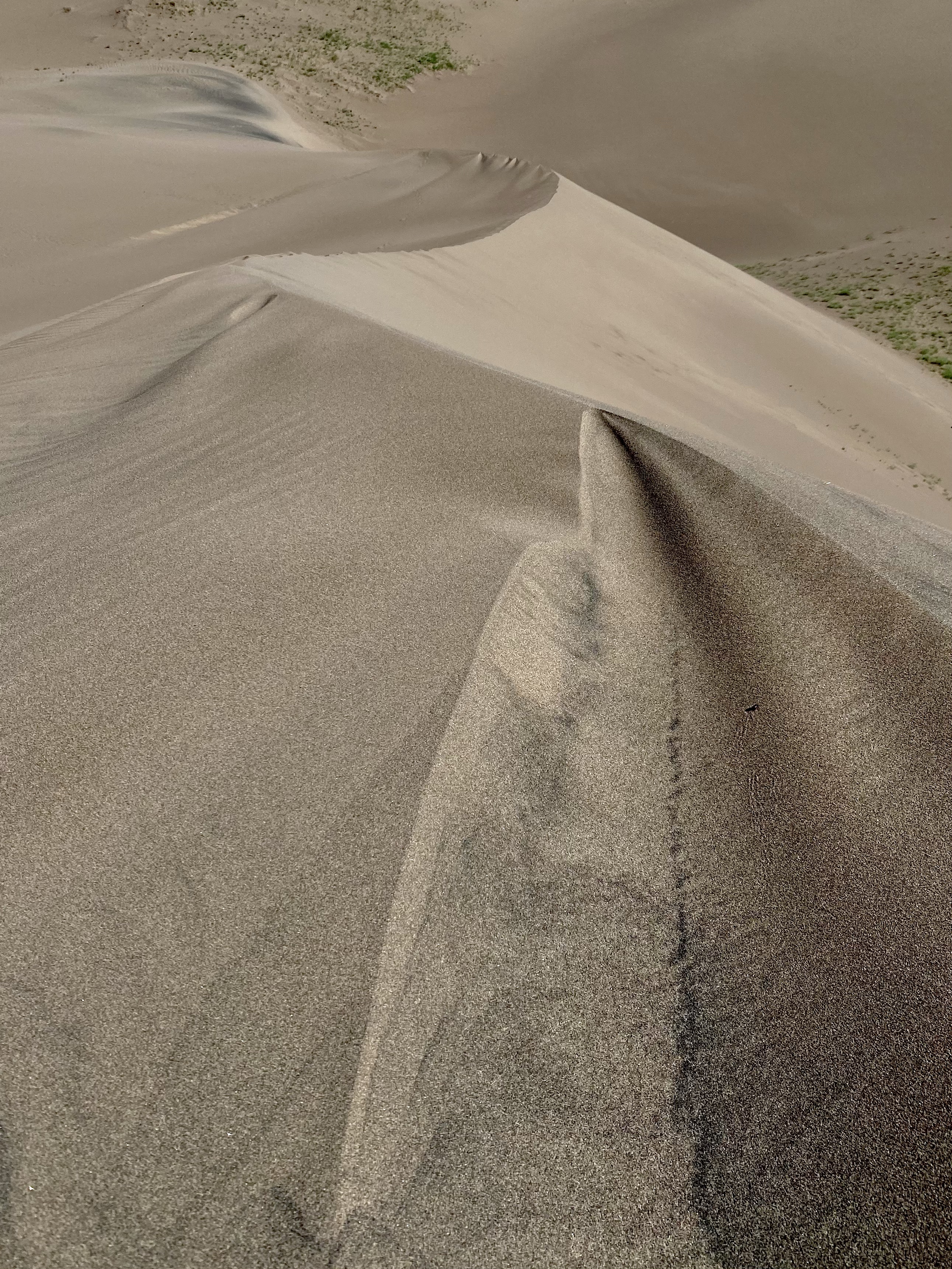
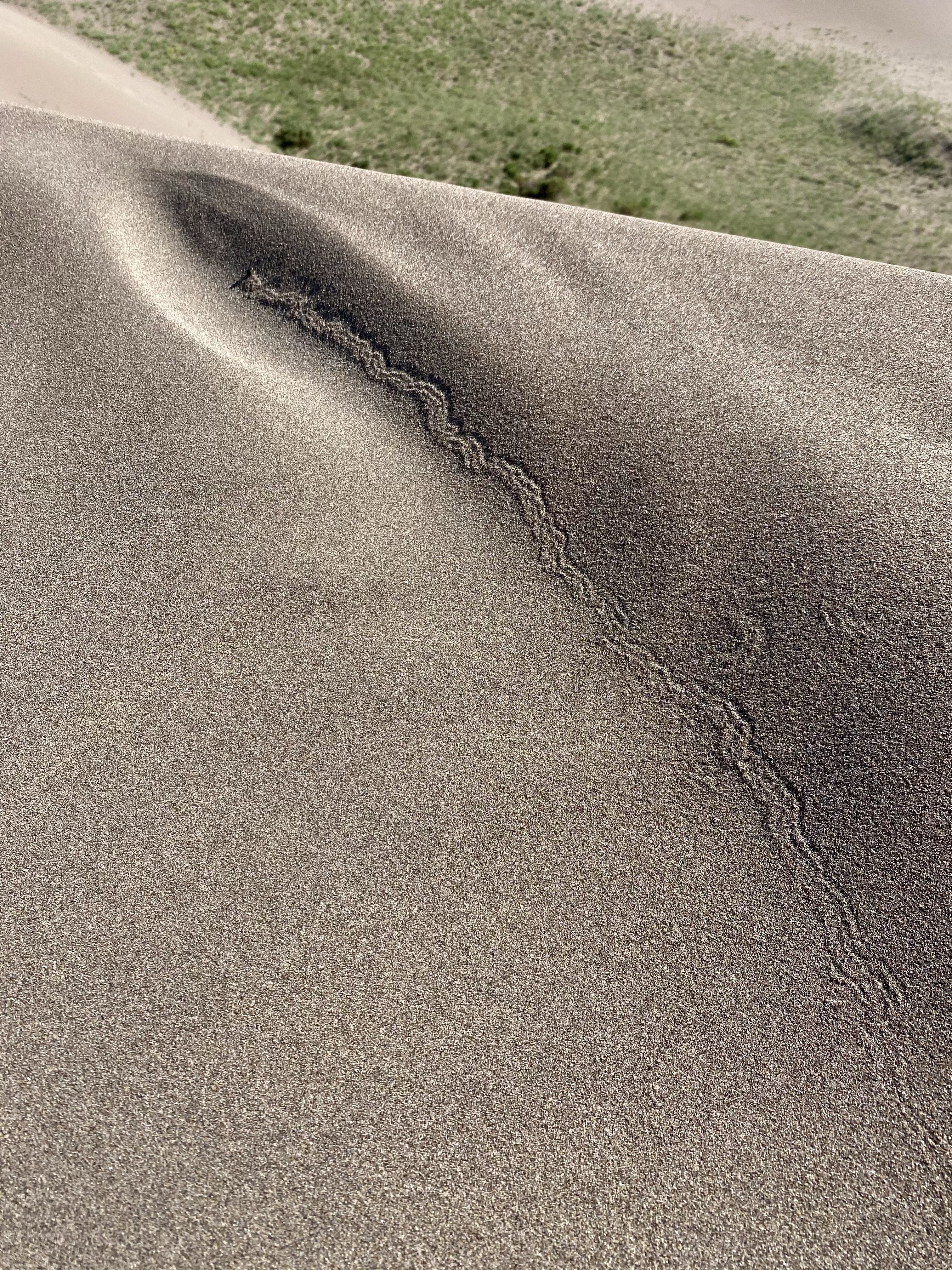
Well, the ridges and tops are harder, but not hard. And as soon as you conquer one baby dune, another one lies ahead. Or even better, sometimes a dip and then a rise. The dunes undulated for miles in every direction, a surprise awaits at each summit.
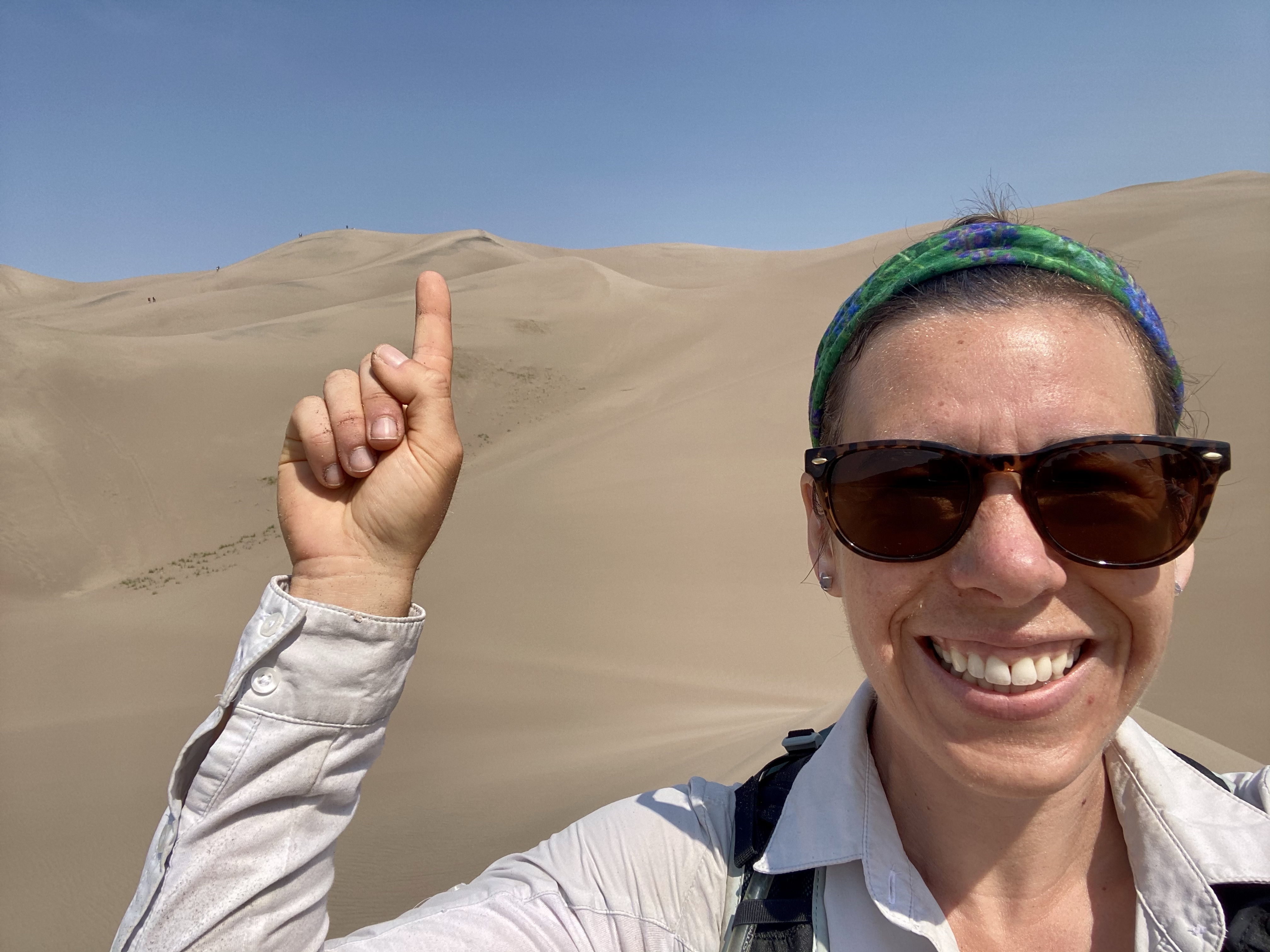
The trek was difficult, but I had picked a high peak in the distance and nothing was going to stop me. So although my quad muscles were burning, my calves crying for help and my lungs working over time, I continued 100 steps at a time. That was all my body could take before a rest, a chance to sit and admire the scenery. A chance to acknowledge how far is climbed already. The campground was disappearing the in distances the wide creek becoming a thin string. Then upwards I would go, inching closer one step at a time.
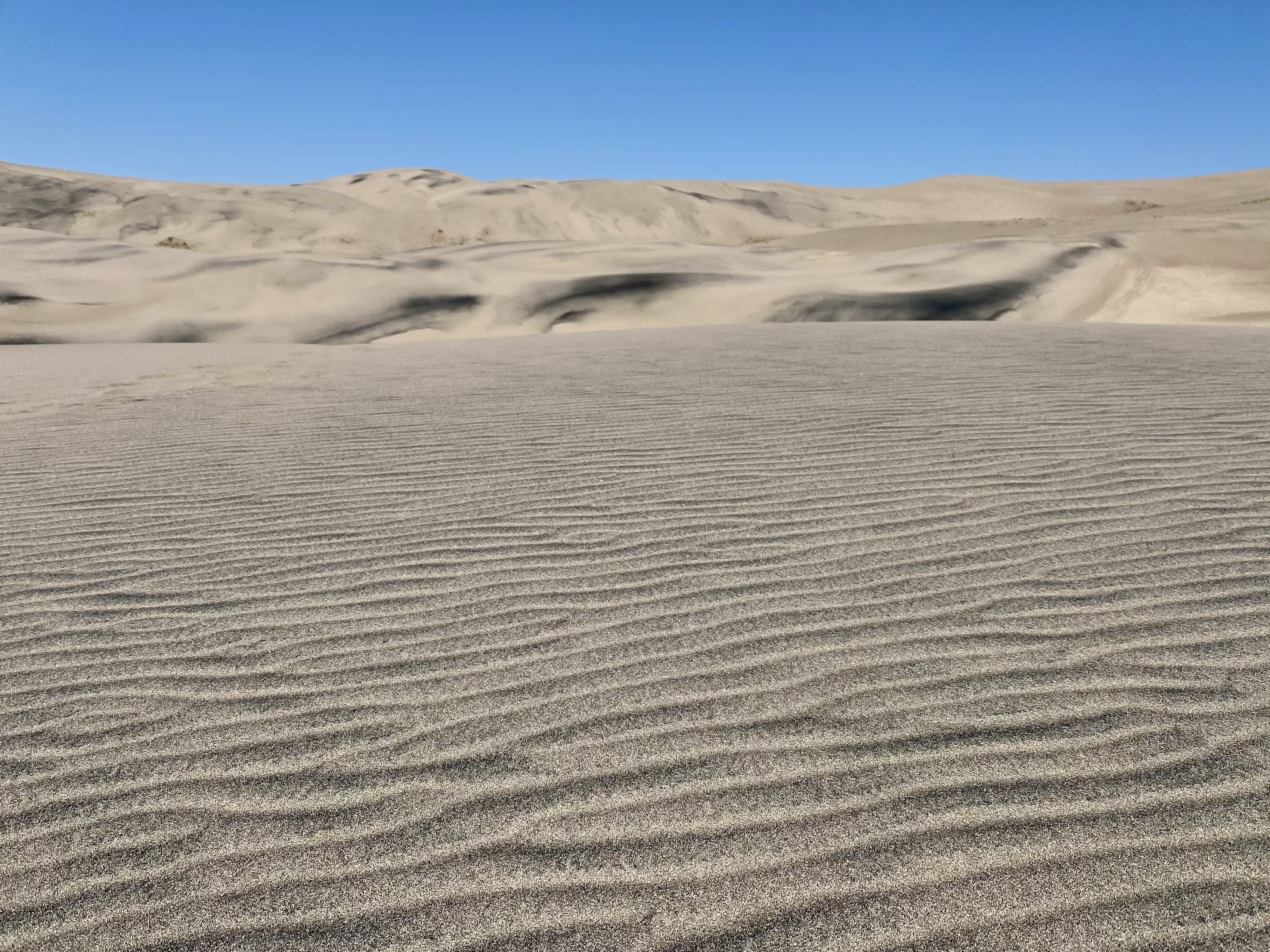
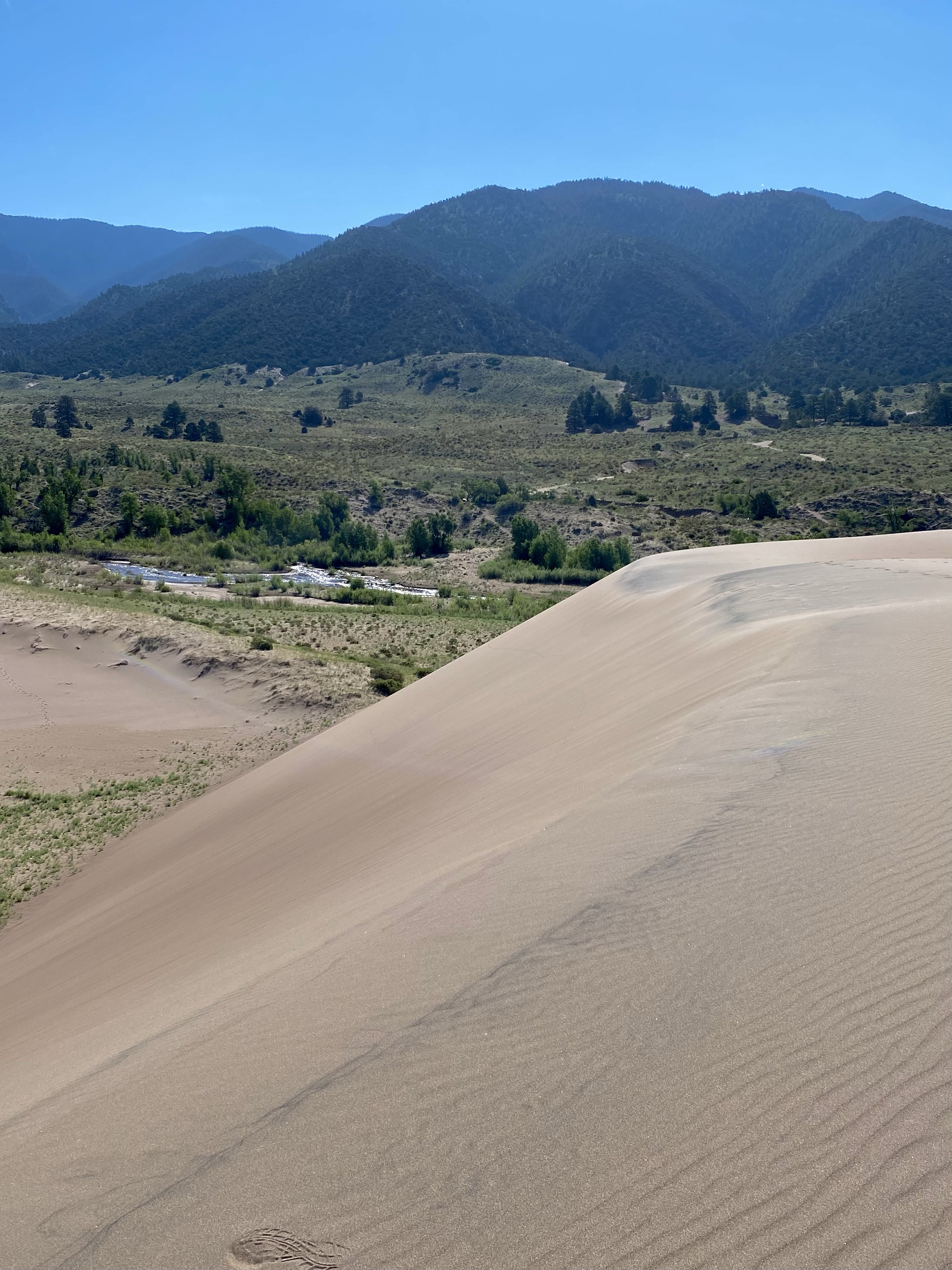
And finally, after one more push, I was there, at the very peak, high above the the creek. Two fellow climbers were already nearby, but I was alone at my vista and sat down to catch my breath and soak on the views. Looking out into the dune field, more sand rose and fell towards the mountains and towards the meadow. Waves of sand in every direction. There was a gently breeze, the sun at my back, and I rested. It was marvelous, a landscape to explore and get lost in.
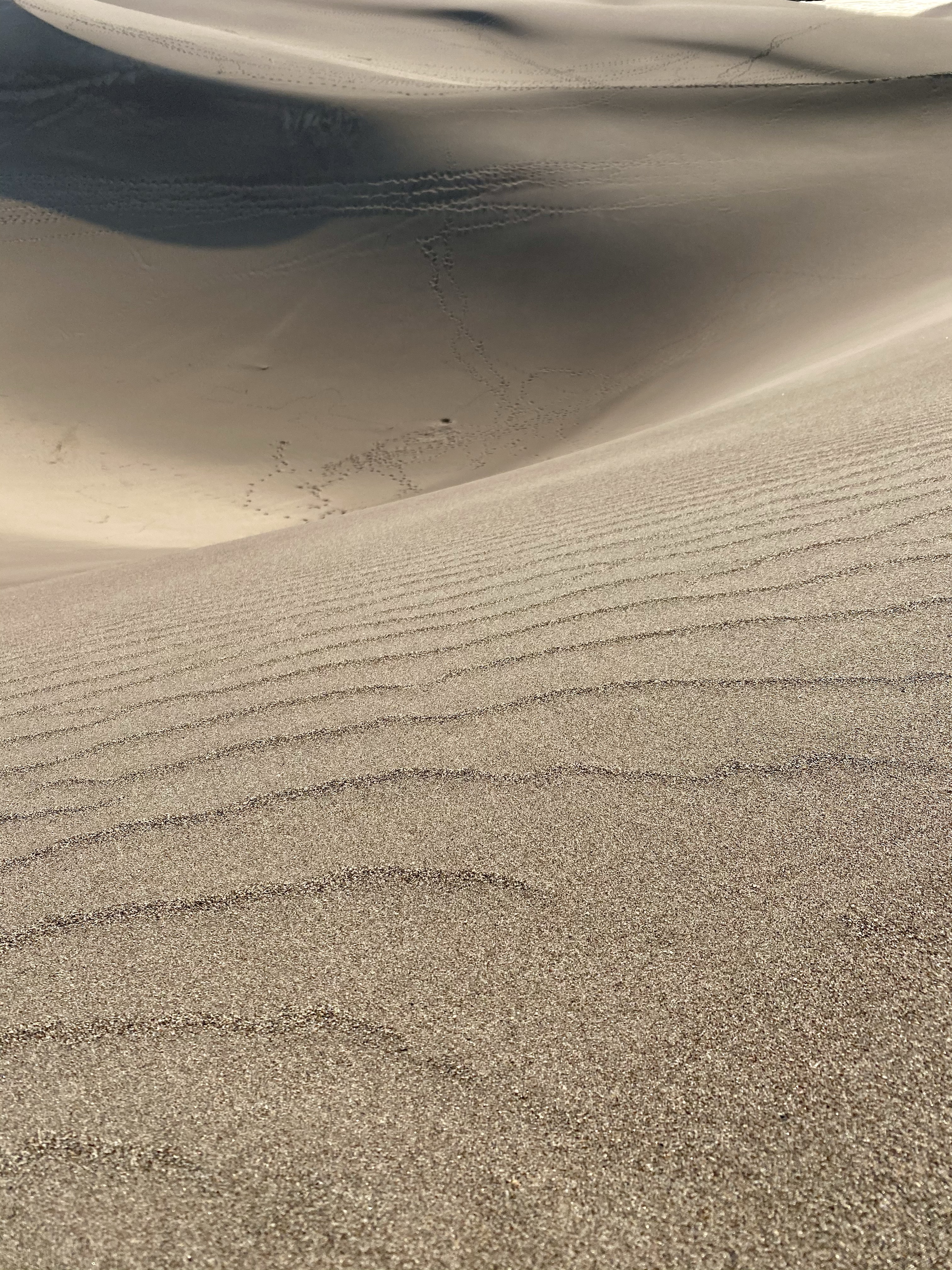
Behind me the mountains rose and the trees covered the hillside. The sand dunes stopped at the water and the sun continued to climb into the blue sky. Equally beautiful, but in a very different way.
Eventually I was all alone at the summit, and I wandered around a bit, taking photos at different angles. The sand creating attractive shapes and structures. Then, it was times to slide.
I hope you enjoy the videos as much as I enjoyed each attempted to get down. The undulating dunes provided multiples opportunities to use the sled, but none of them were very long, fast, or successful. No matter how much wax, the sand fought back. Grainier and thicker than the other parks, it did not want to cooperate. And yet I had the time of my life laughing at myself and my failed attempts.
Sometimes I started slow and sped up hopefully, only to quickly stop. Other times I had to push along to get going. Certain places the sand to soft, other areas not steep enough. It was a wild and hilarious experiment!
I did have short patches of success, and lots of laughs along the way. And it totally beat hiking down! Next time I’ll rent an official sand board though, I think.
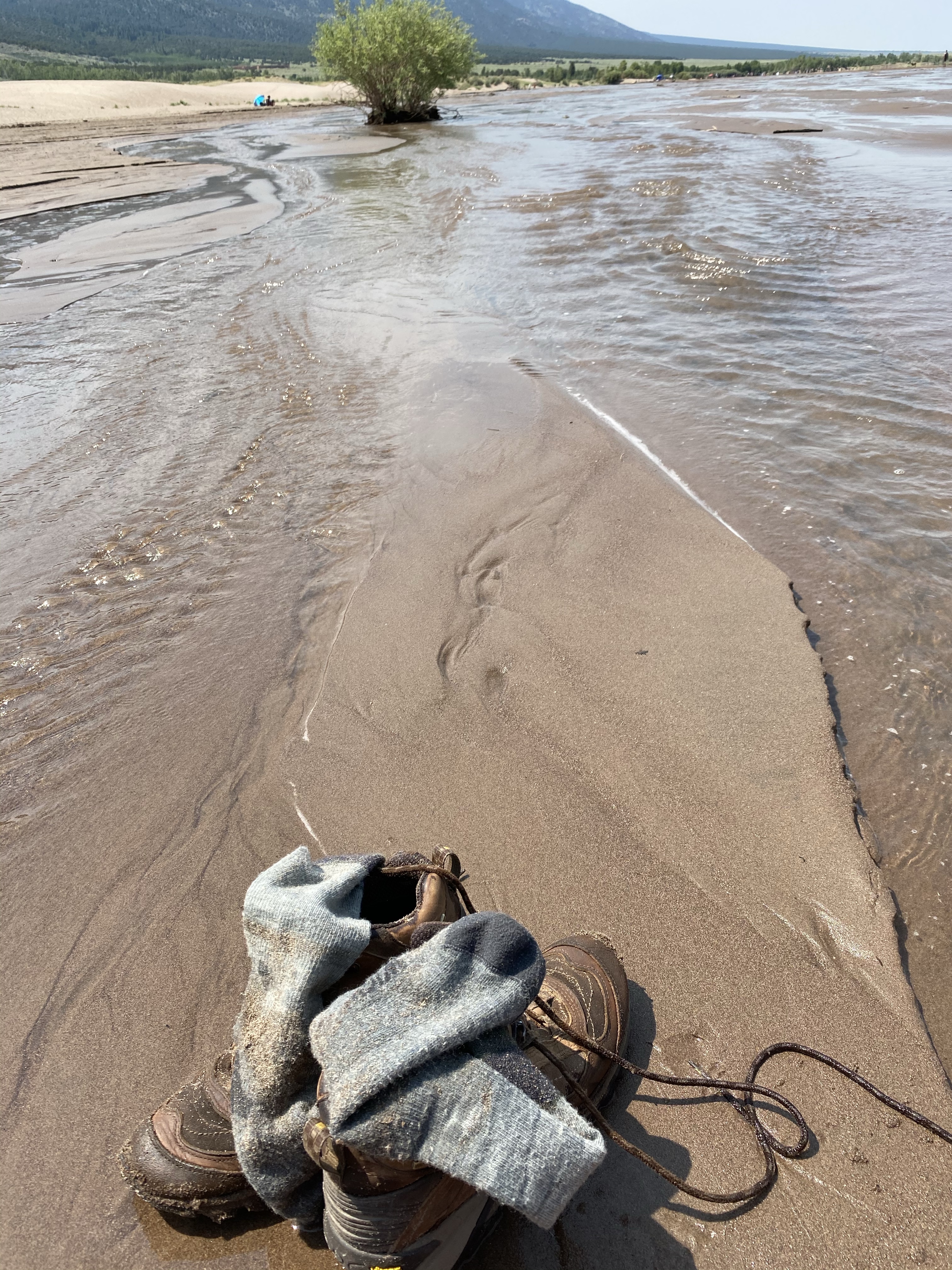
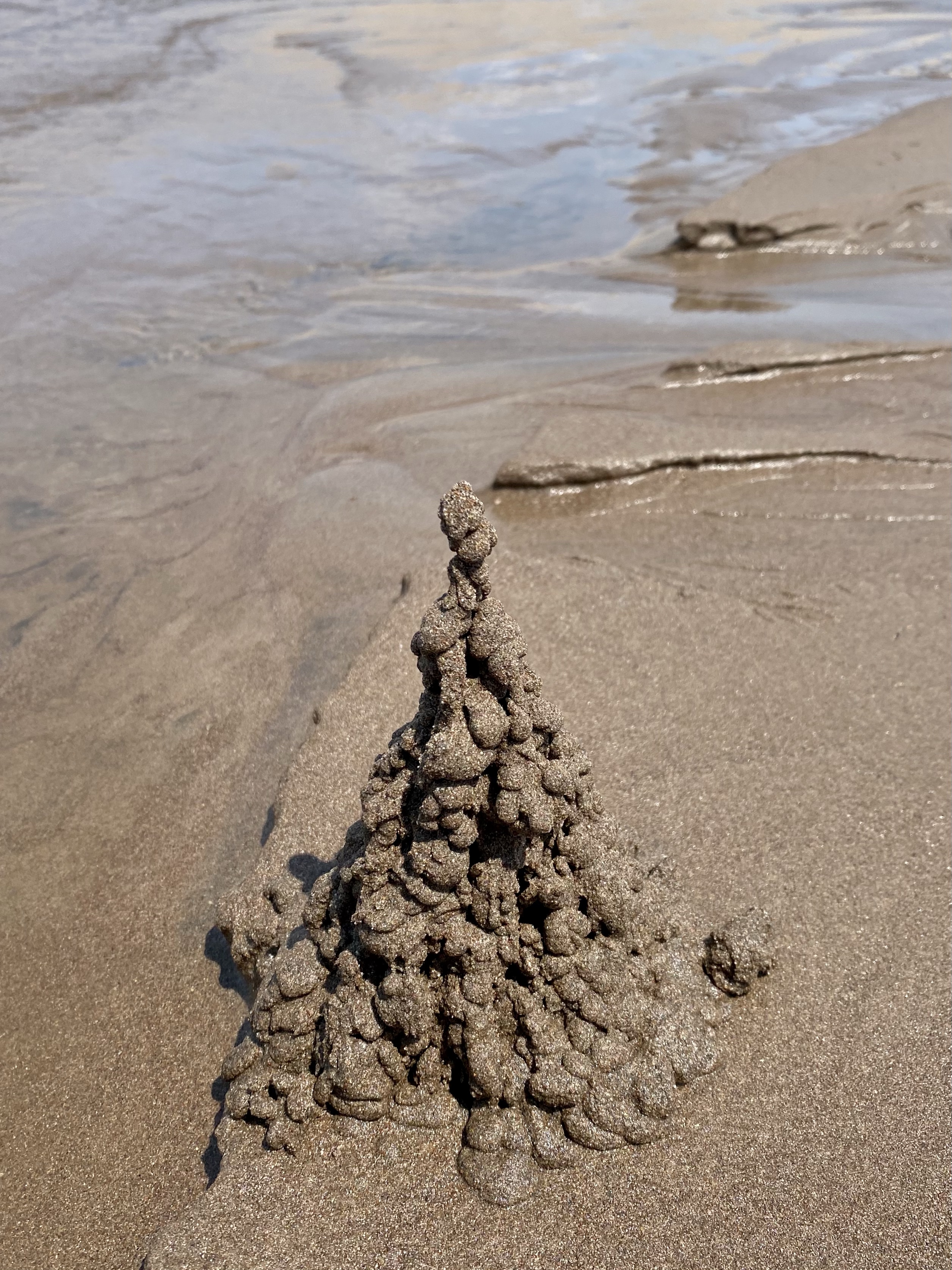
Eventually back at the creek, the sled served as a nice seat while I soaked my hot feet in the cool water. I made drippy castles with the damp sand like I did with my sister as a child and enjoyed listening to the water flow around me.
Lunch eventually called my name and I headed up the path to the campground. I hung out here for the rest of the day. Took shelter when the thunderstorm and rain did roll through that day. And later watched the sunset over the dunes. A truly fun filled day of new things and new challenges.
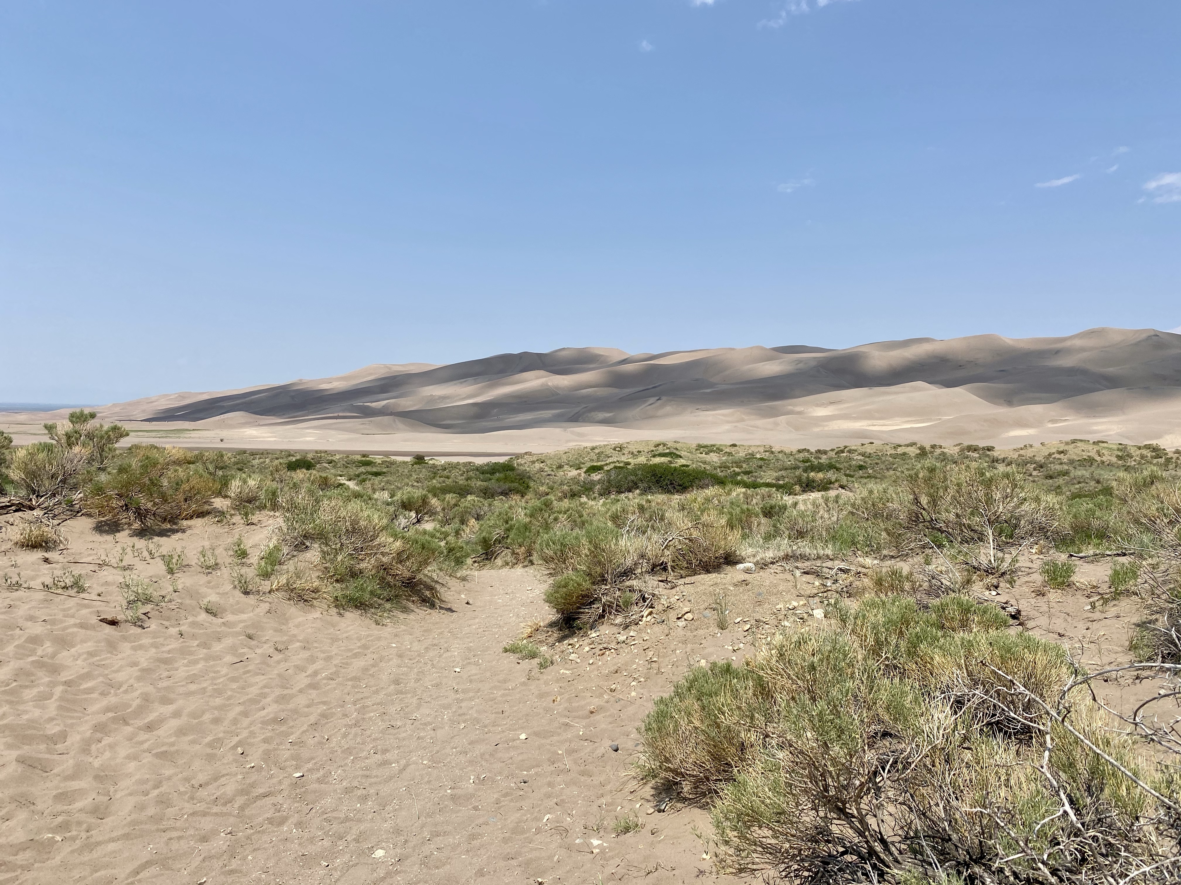
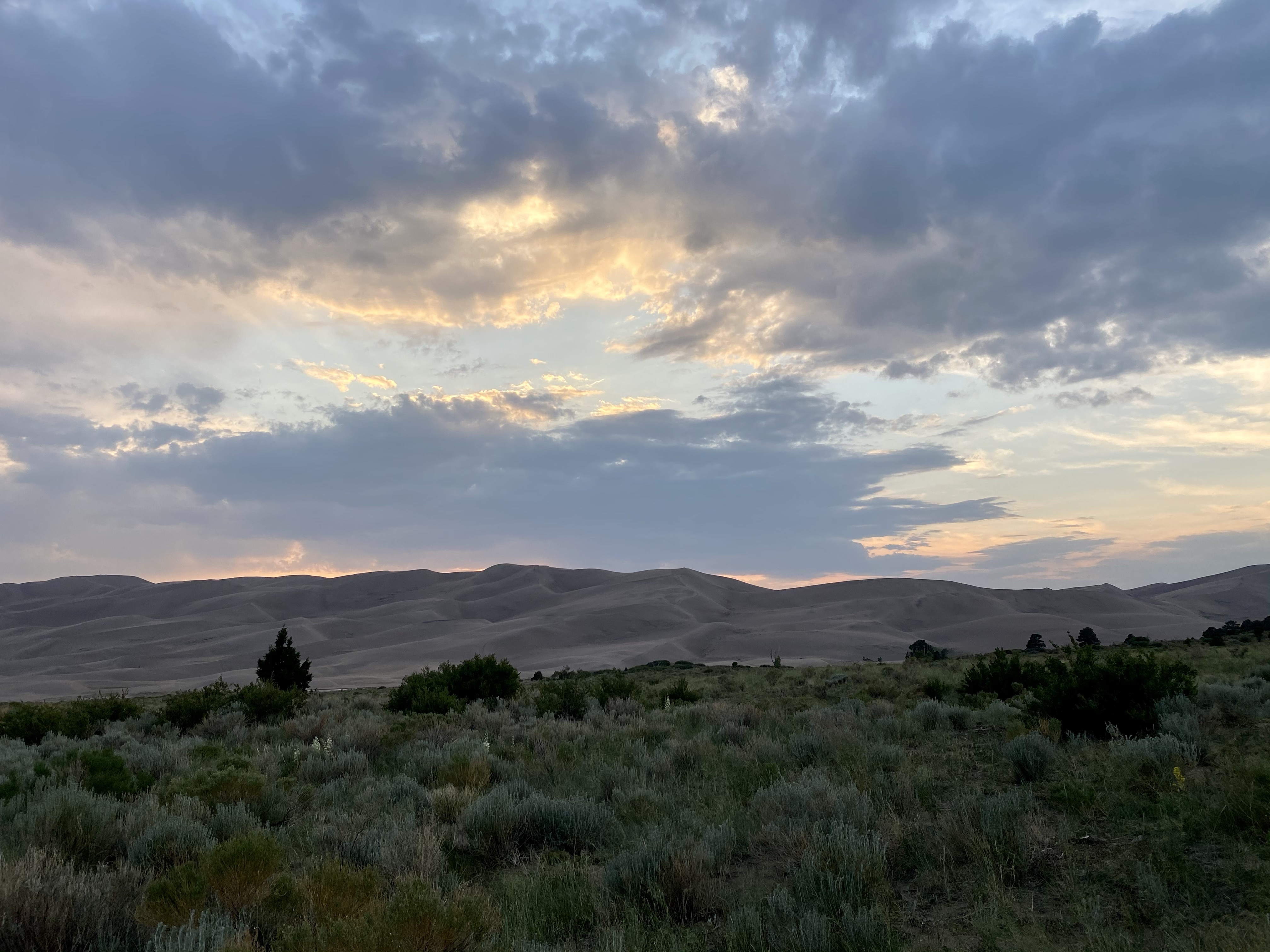
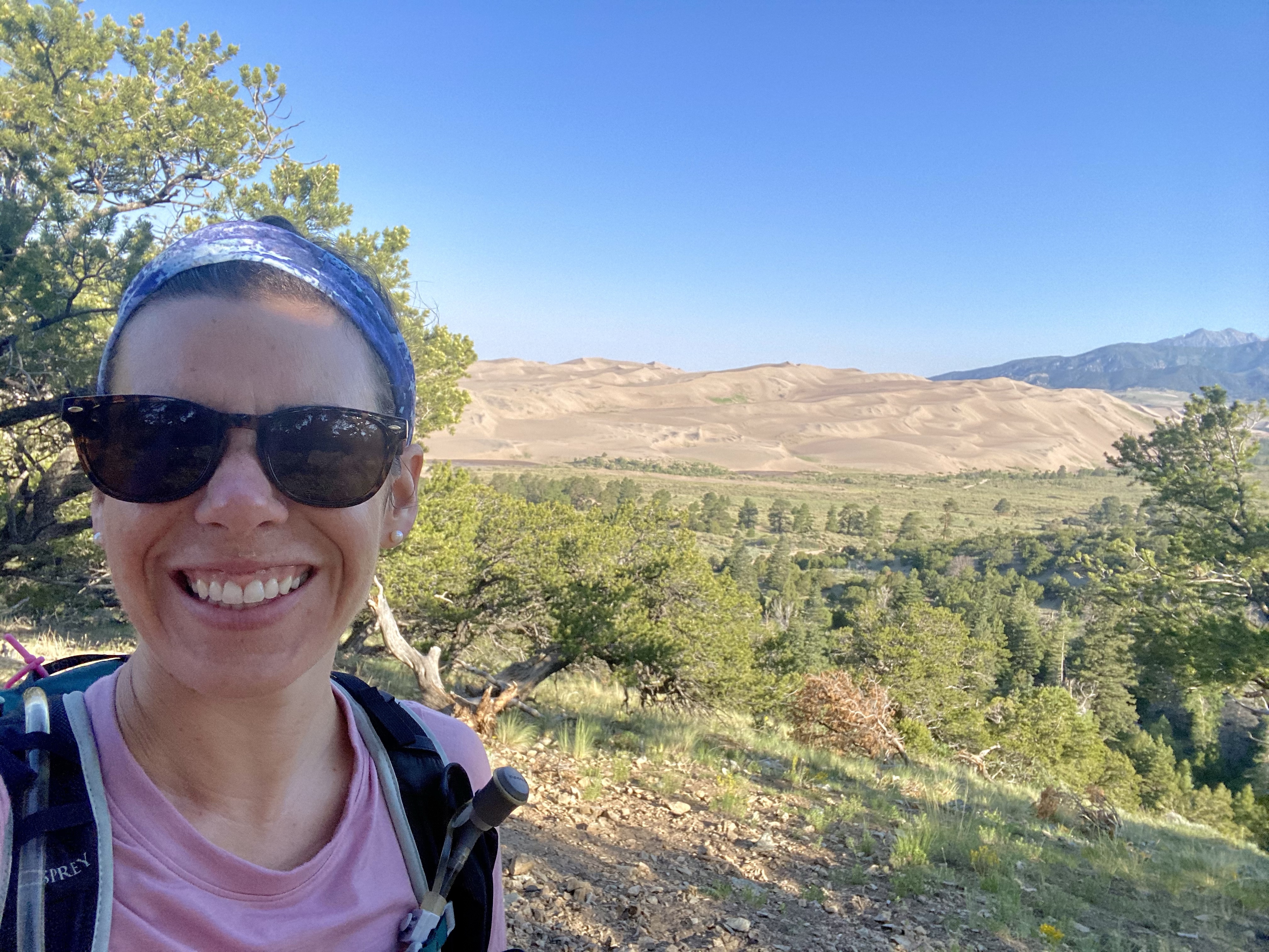
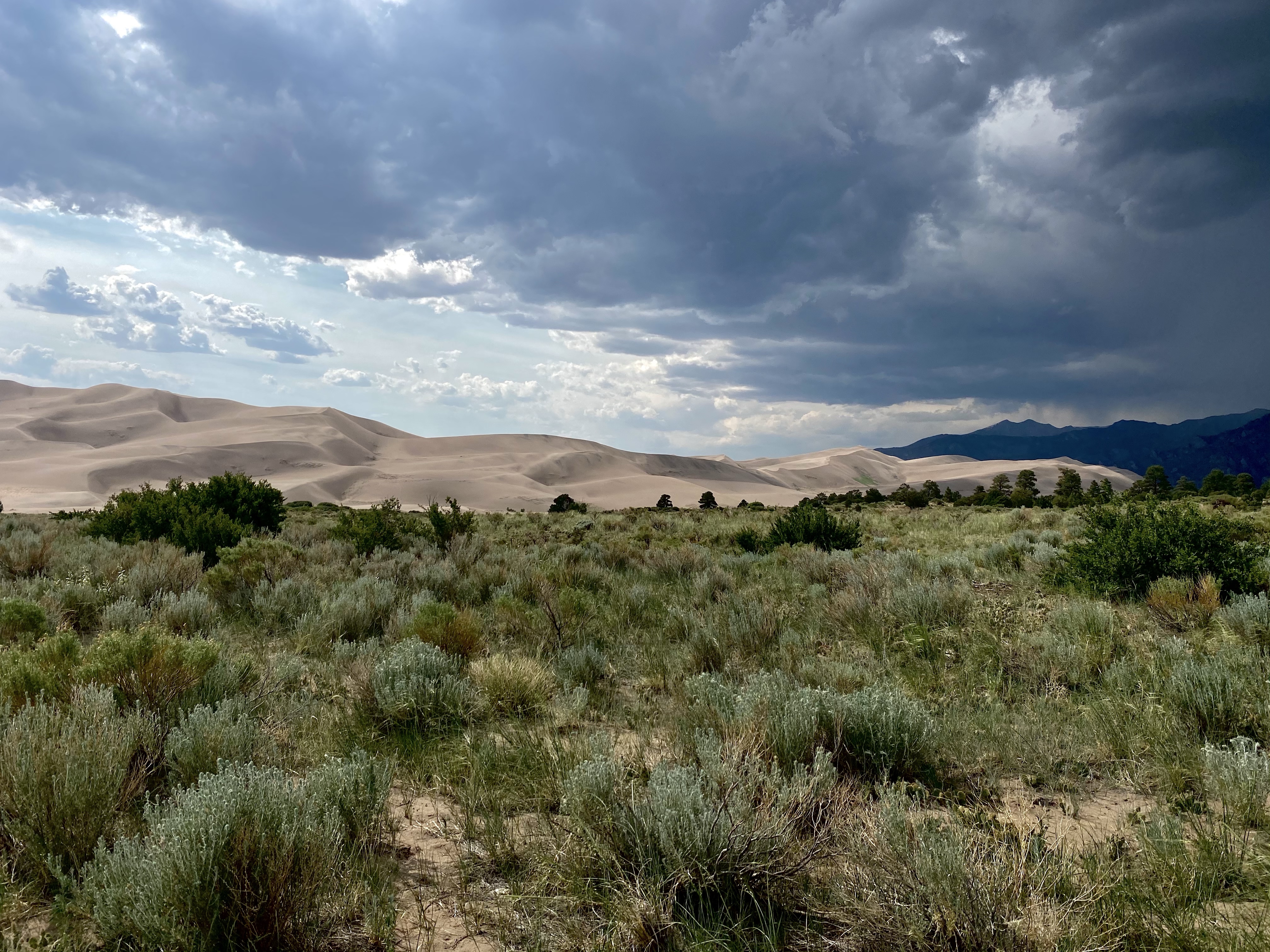
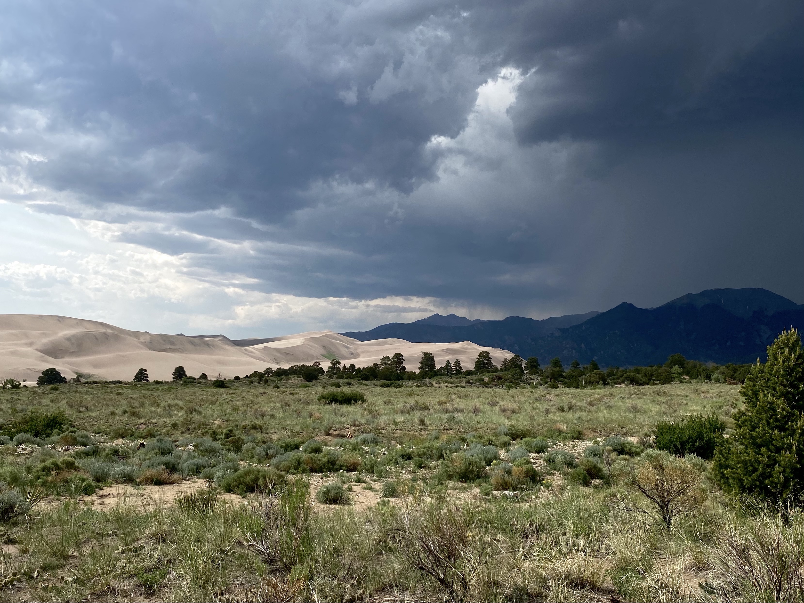
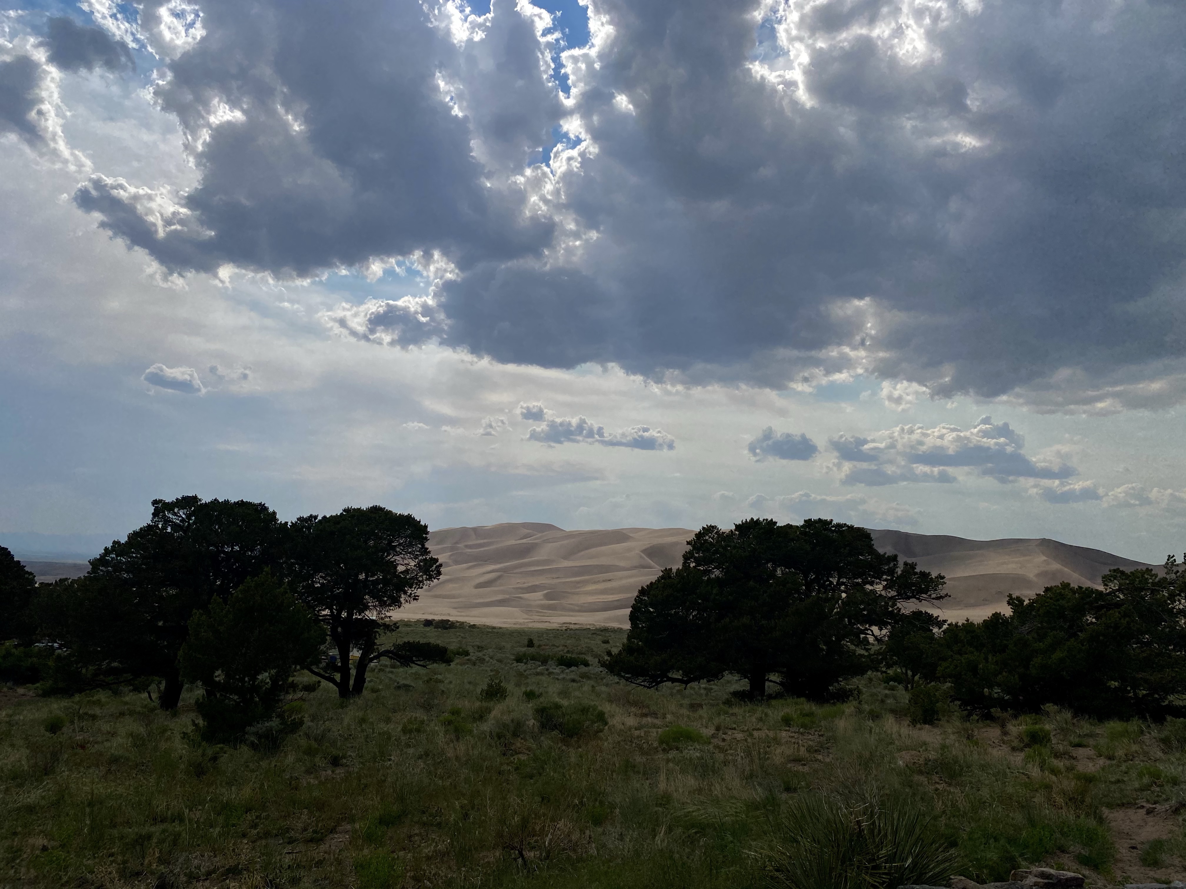
When I arrived at Great Sand Dunes National Park on a Monday afternoon, it was hot and busy! I knew I wasn’t going to do any hiking, so I waited in line at the visitors center. Gosh, just standing there I was sweating! Enjoying this place would mean early mornings and lazy afternoons. After I chatted with the park ranger and bought my gifts, I headed to my camping site in the park and didn’t move again for the rest of the evening! Luckily, I could stay parked here during my stay, everything was accessible right from the campground.
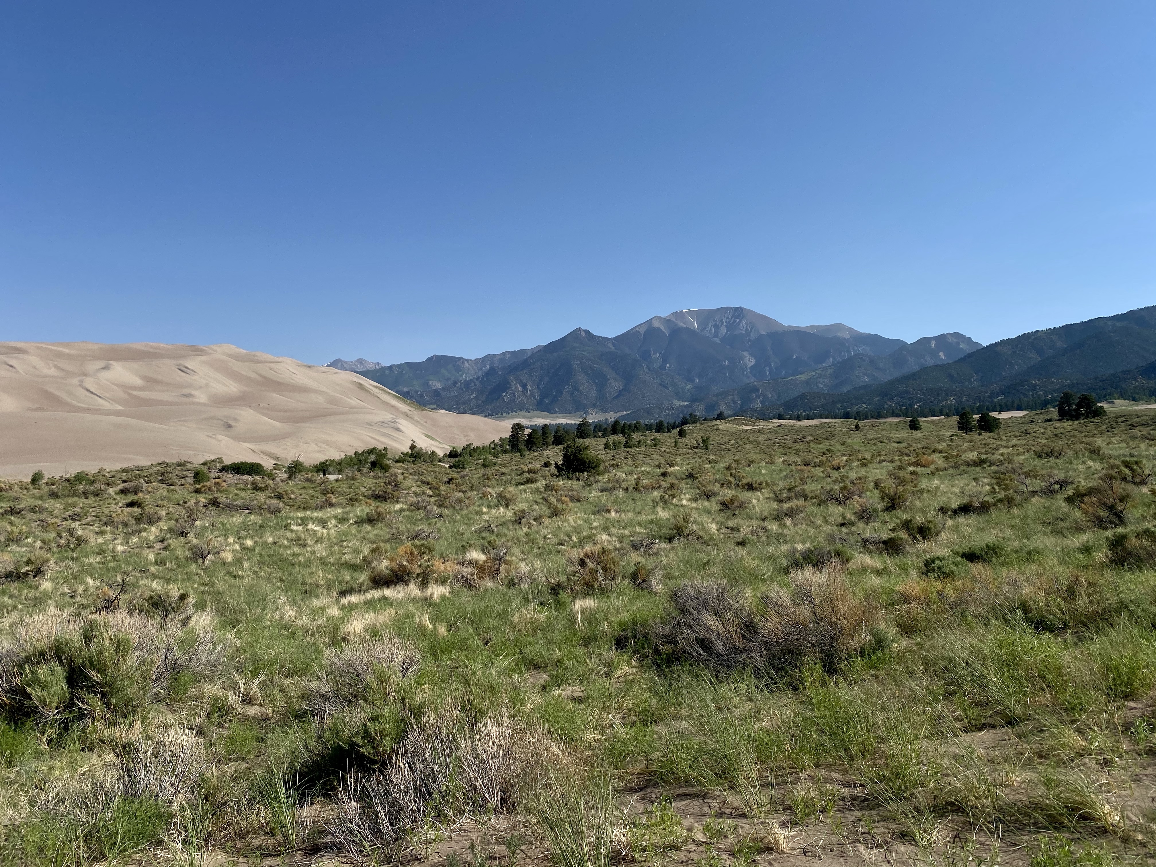
So Day One was really the following day, a Tuesday. I woke early, did yoga, and headed to the Overlook Trail to see the magnitude of this place. On the way up, I was the only one on the trail. Although the sun was rising, it was still cool and I took my time admiring the flora. At the top, a comfy bench awaited me and I sat down to admire the giant sand dunes abutting the gray pointy mountains. This park is really neat, sand dunes, mountains, forest, streams. Who would have thought?
Soon another hiker and her dog joined me. We had a nice conversation and hiked part of the way down. It’s always nice to meet female travelers and hikers. We can connect easily over our shared loves.
When we parted ways, I headed for Point of No Return, which signals where the paved road meets the sand road. Don’t worry, I wasn’t entering dangerous territory. And neither was Sunny. She was parked back at the campground. We don’t like sand roads!
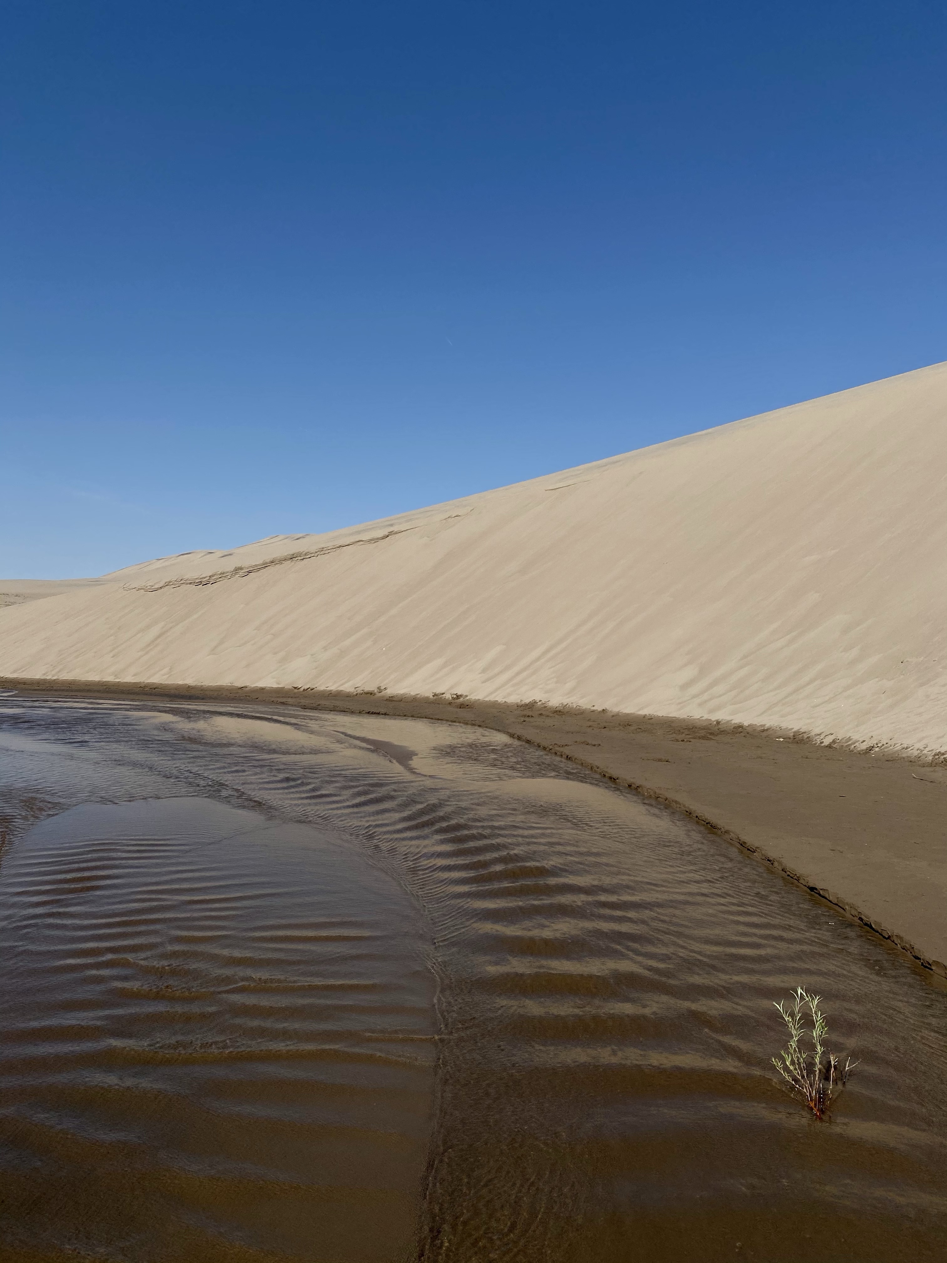
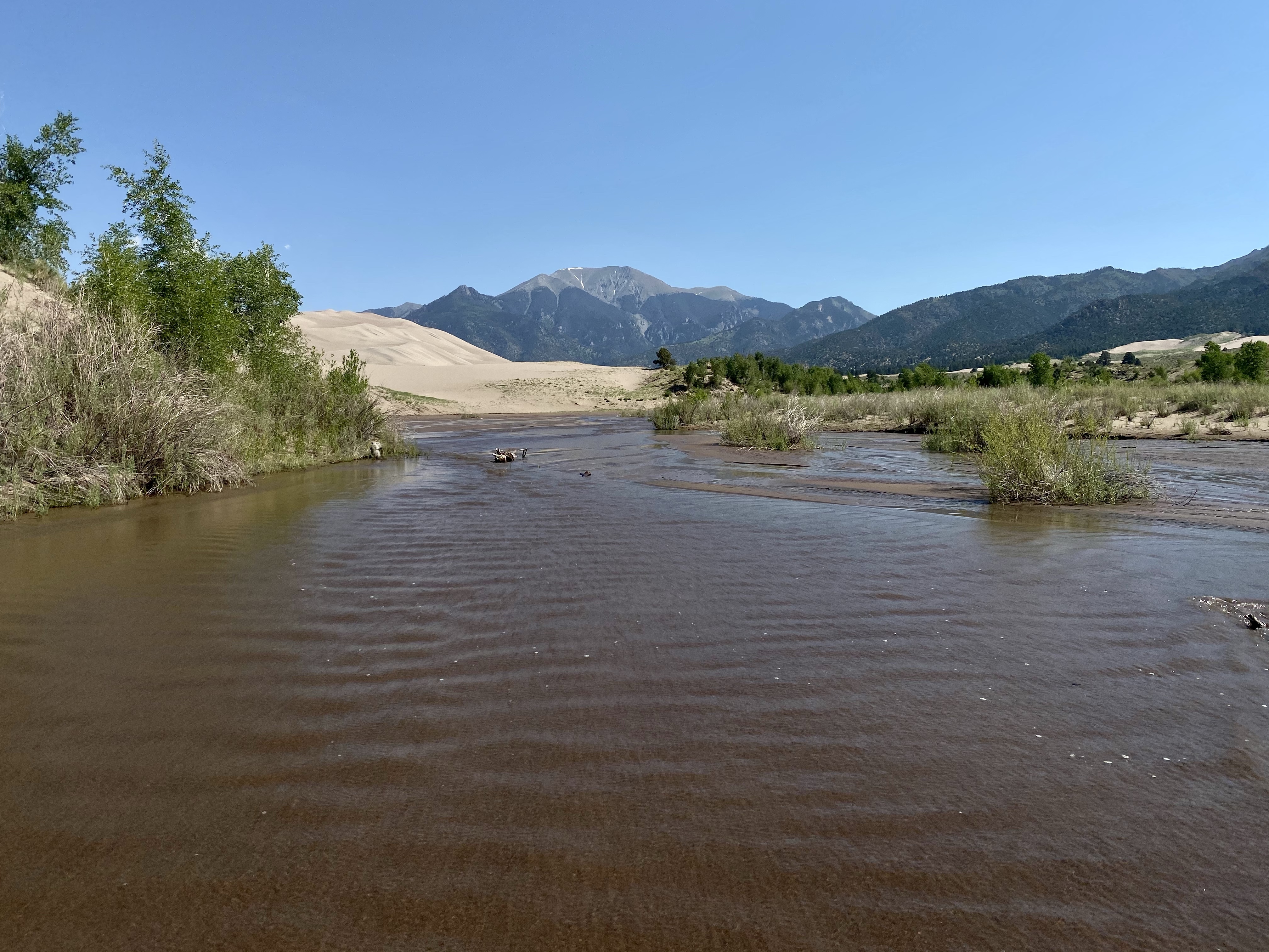
From there I headed to Sand Pit Picnic Area, where I stuck my sandy feet in the cold creek and stared up at the dunes looming on the far side. The water was cold and refreshing, trickling by from the last melting snow up in the mountains. No more than calf deep in places, it was easy to walk around and observe the patterns the changing flow made in the packed sand beneath.
Then, although it was getting warm, I hiked up a small dune. How could I not? I was so close. They were calling my name!
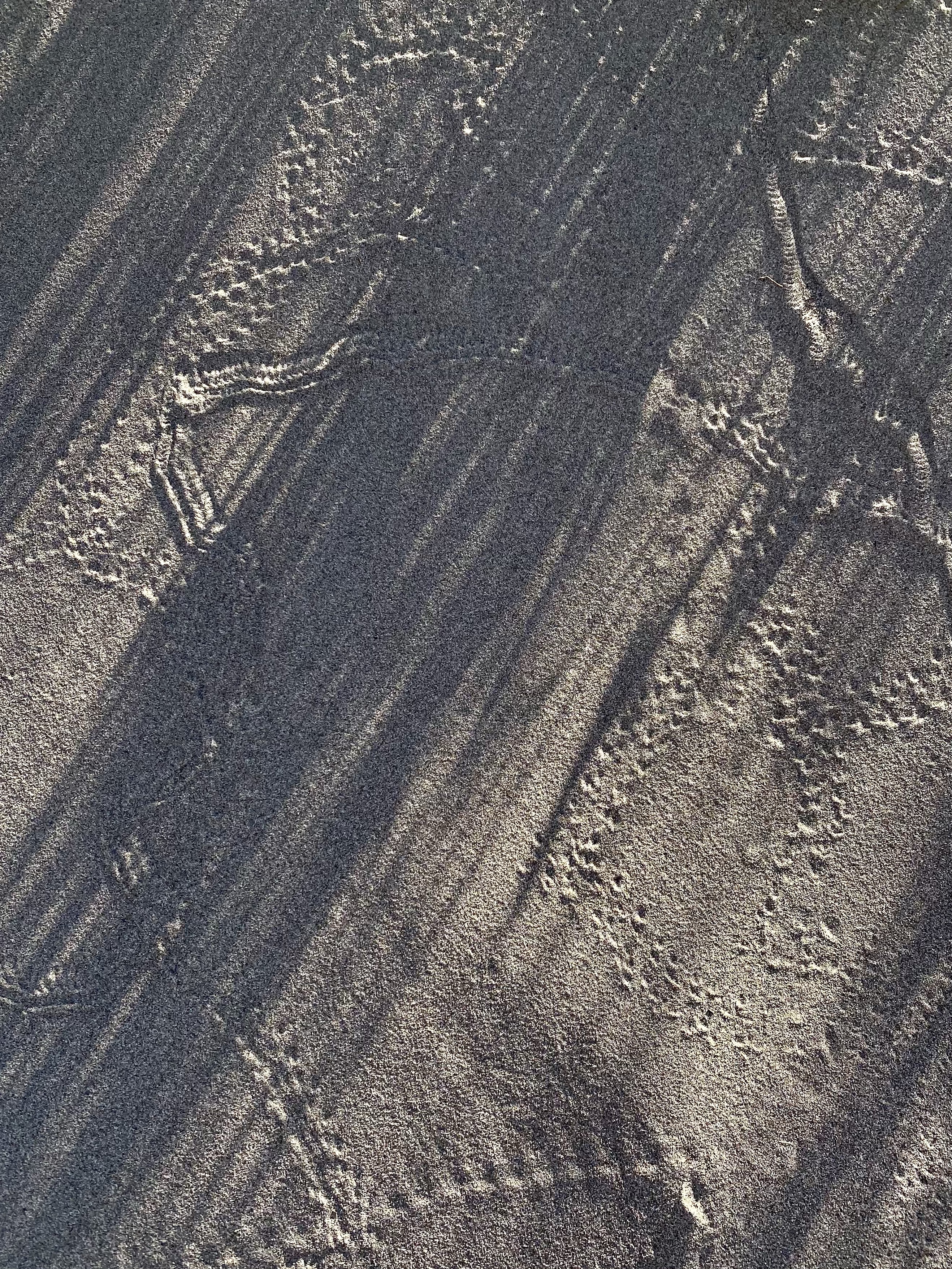
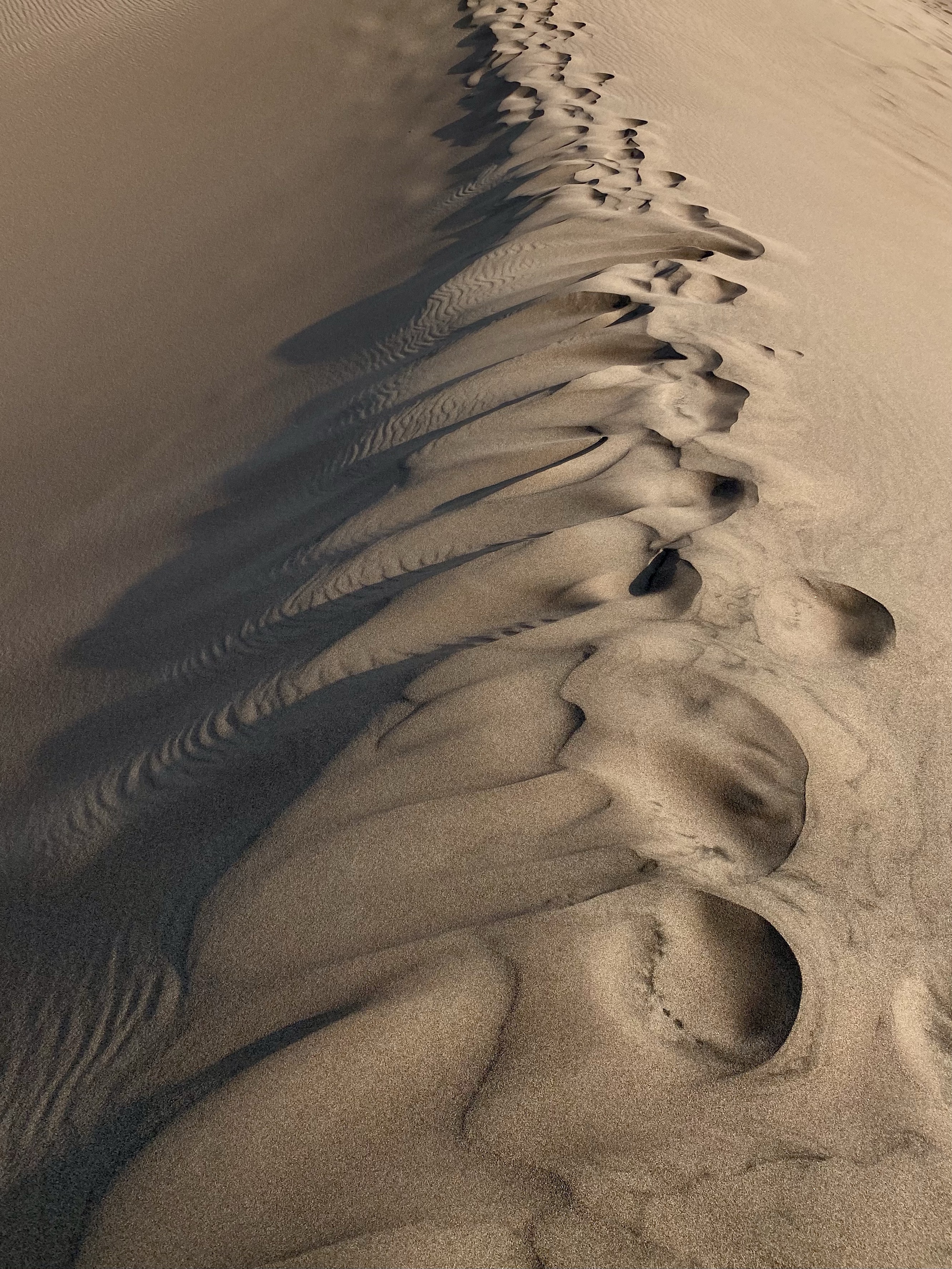
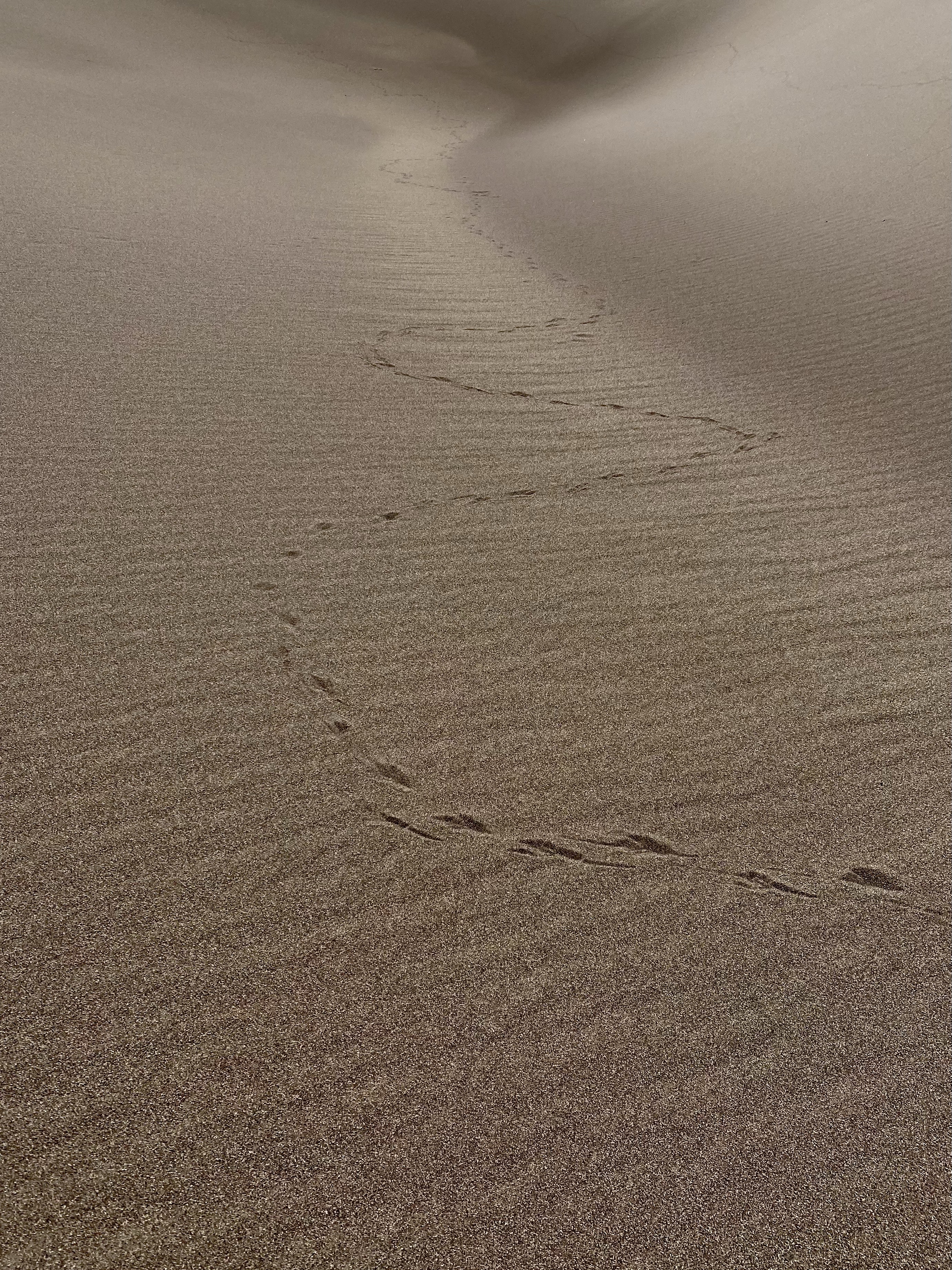
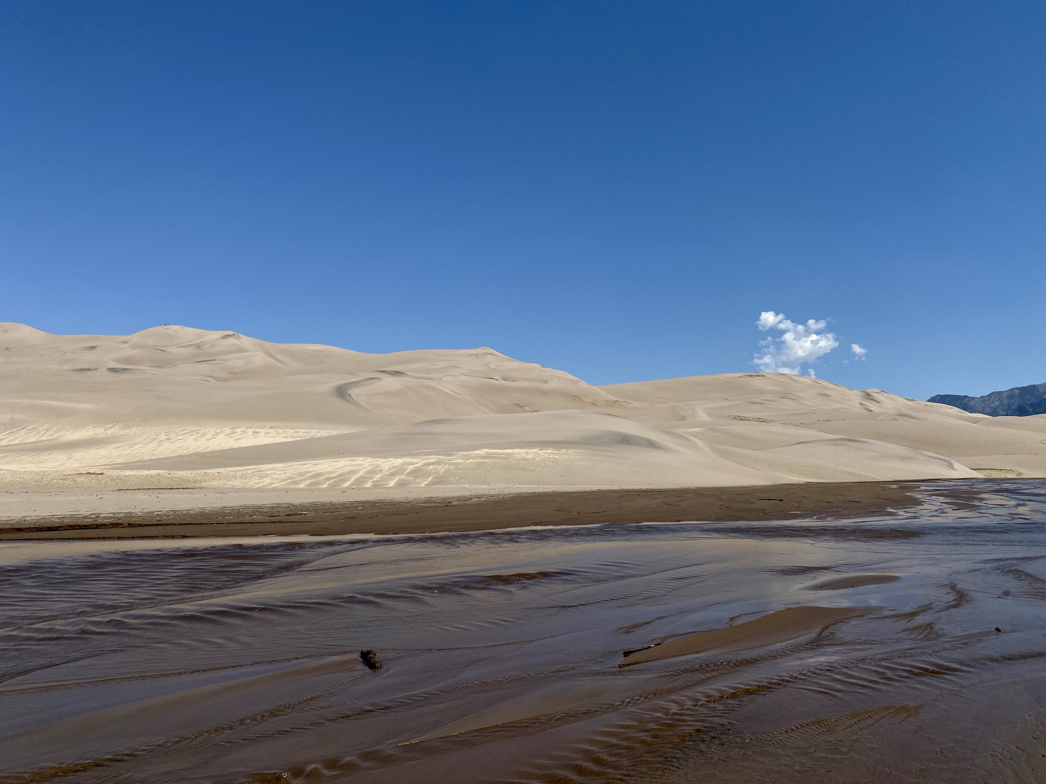
Up on top was magical. Sand glistened in the sun for miles in every direction. While the climb was difficult through loose sand, the top was flat and hard. Wind made ripples in the sand, carrying it from one spot to another. Barely visible footprints from earlier hikers dotted the landscape, showing the playground that the dunes are. You can go anywhere if you have the courage and stamina! Walking around, the gullies and ridges and peaks caught my attention and I played around capturing different angles. Little footprints of bugs and animals who were now hidden away were spotted. Waves of black sand swirled through the landscape. Nature’s canvas.
I sat down for a snack, watched a family run down the dune with their young child, and then did it myself! What fun! Then I walked down the creek, slowly, in the direction of the campground.
The mosquitos here were vicious, devouring me, so I had to make sure to splash water with my feet as I went. That wasn’t too bad. The cool moisture felt good on my hot skin. The gurgling of the creek was a good distraction too, every once in a while a surge of water coming through, rippling over the sand, from snow disappearing somewhere in the mountains.
When I reached the campground, I exited the stream and trudged through the hot sand to the brush. A short hike up led me to the camping sites, and eventually back to mine. There I cleaned off, settled in for a phone call with a friend, and relaxed.
As the evening arrived, storm clouds and thunder rolled over the dunes, but no rain ever appeared. The clouds created interesting shadows on the sand, and providing a spectacular dark sky above. I admired from inside the safety of my van until they had floated by. Then I headed to bed, an early night so I could get a good rest to climb those sand hills in the morning!
This native land of the Ute, Cheyenne, and Jicarilla Apache is wondrous.